A nice walk around the fringes of Cherrybrook plus the interesting and atmospheric Refuge Rock. The optional sidetrip to the natural rock arch adds some beautiful scenery to the walk. The walk passes through an interesting mixture of moist creek side scenery and drier forest before reaching Refuge Rock with its nice views. The extensive rock platforms at Refuge Rock are interesting to explore, or a nice place just to relax. Let us begin by acknowledging the Traditional Custodians of the land on which we travel today, and pay our respects to their Elders past and present.
The Lakes of Cherrybrook park. | Photo by admin, 2009.Looking over the Lakes of Cherrybrook. | Photo by admin, 2009.Tunnel vision. | Photo by admin, 2009.Tall forest in the Berowra Valley Regional Park. | Photo by admin, 2009.Grass tree on Blackwattle trail. | Photo by admin, 2009.Blackwattle management trail east of Blackwattle Place. | Photo by admin, 2009.Casuarinas and Eucalypts on the Blackwattle trail. | Photo by admin, 2009.Rocks by the Blackwattle trail. | Photo by admin, 2009.Blackwattle trail near Appletree Drive. | Photo by admin, 2009.Ferns by the trail. | Photo by admin, 2009.Some dry forest. | Photo by admin, 2009.Some Casuarinas. | Photo by admin, 2009.Rocks by the trail. | Photo by admin, 2009.Views along the way. | Photo by admin, 2009.Nice forest on the way to Refuge Rock. | Photo by admin, 2009.Extensive rock platforms. | Photo by admin, 2009.Moss growth at Refuge Rock. | Photo by admin, 2009.Mortar shell impact at Refuge Rock. | Photo by admin, 2009.A narrow chasm in the rock. | Photo by admin, 2009.Under the natural arch. | Photo by admin, 2009.The natural rock arch. | Photo by admin, 2009.
Before you start any bushwalk ensure you;
• Tell someone you trust where you are going and what to do if you are overdue
• Have adequate equipment, supplies, skills & knowledge for the whole journey
• Consider the impact of weather forecasts, park/track closures & fire dangers
• Can respond to emergencies & call for help at any point
• Are healthy and fit enough for this journey
If not, change plans and stay safe. It is okay to delay and ask people for help.
Getting started From below 50 Shepherds Drive, opposite the shopping centre, the walk follows the concrete footpath into 'The Lakes Of Cherrybrook' park, keeping the playground to the right. The footpath comes to the signpost for 'Callicoma Walk' just before the unfenced lakes.....
Turn map
Directions & comments
Start.
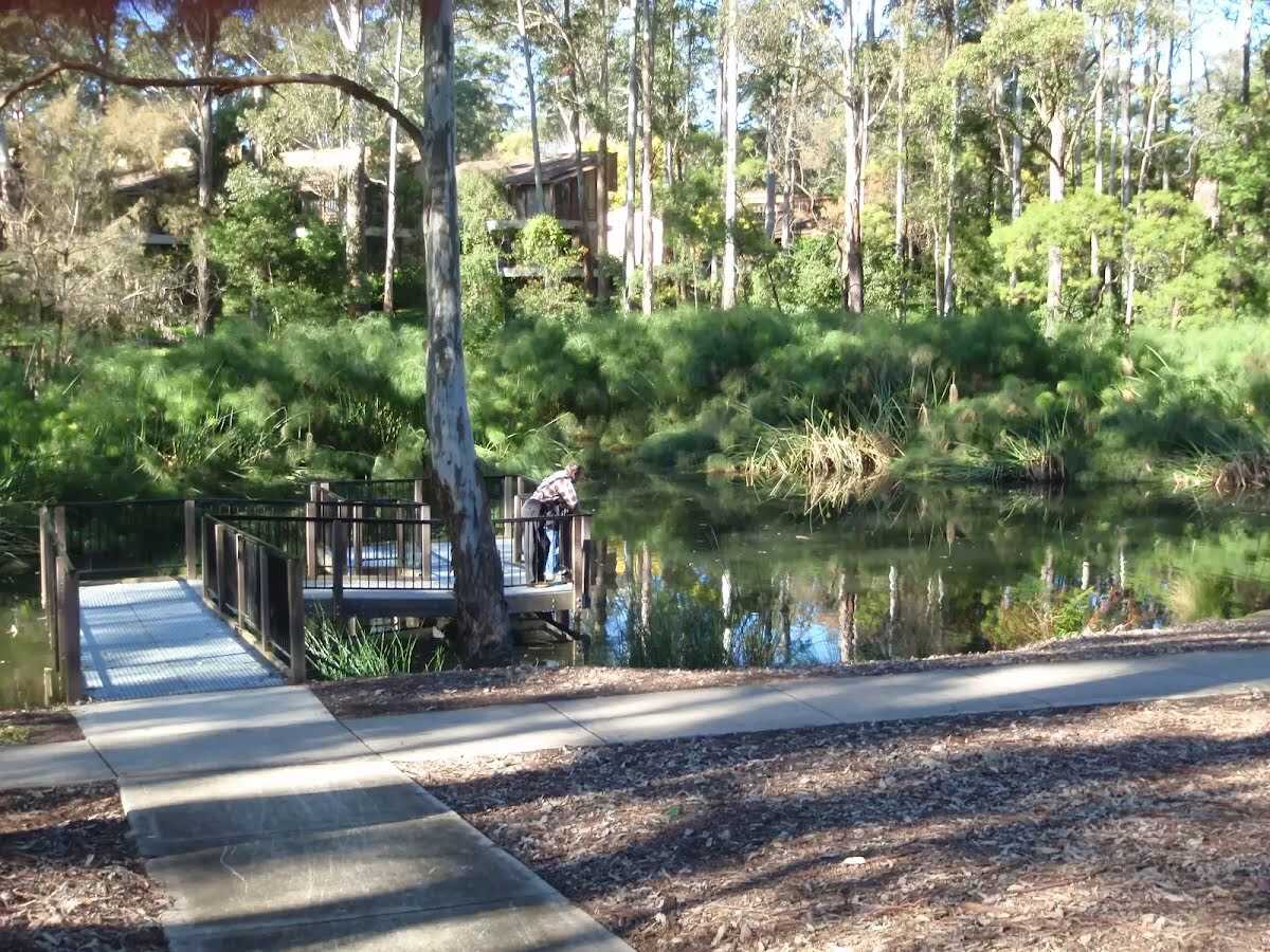
Find the Cherrybrook Lakes at the start.
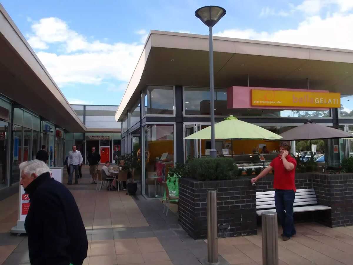
Cherrybrook Village shopping centre (about 95 m back from the start).
Cherrybrook Village shopping centre
The Cherrybrook Village shopping centre is located at 41/47 Shepherds Drive, Cherrybrook. There are a number of local cafes and eateries here, plus some franchises such as Subway and Gloria Jeans, making a great stop for walkers. There is also a Woolworths supermarket. The centre is open 9:00-5:30 Mon-Wed & Fri, 9:00-9:00 Thu, 9:00-5:00 Sat and 10:00-4:00 Sun. Some of the cafes and eateries open directly outside so they may be open longer hours.
+
-
The Cherrybrook Village shopping centre is located at 41/47 Shepherds Drive, Cherrybrook. There are a number of local cafes and eateries here, plus some franchises such as Subway and Gloria Jeans, making a great stop for walkers. There is also a Woolworths supermarket. The centre is open 9:00-5:30 Mon-Wed & Fri, 9:00-9:00 Thu, 9:00-5:00 Sat and 10:00-4:00 Sun. Some of the cafes and eateries open directly outside so they may be open longer hours.
After 135 m pass the playground (15 m on your right).
Continue straight.
After another 20 m find the "The Lakes Of Cherrybrook" (8 m on your right).
The Lakes Of Cherrybrook
The Lakes Of Cherrybrook is a park at the intersection of Shepherds Dr and Macquarie Dr, Cherrybrook. The lakes featured in the park were formed when the local creek was dammed for the benefit of farmers. The park has a free electric BBQ, sheltered picnic tables, taps and bubblers as well as a playground for the kids. There is a large shopping centre nearby. There are several signposted buswalks in the area, including the 5.1km 'Callicoma Walk' loop track.
+
-
The Lakes Of Cherrybrook is a park at the intersection of Shepherds Dr and Macquarie Dr, Cherrybrook. The lakes featured in the park were formed when the local creek was dammed for the benefit of farmers. The park has a free electric BBQ, sheltered picnic tables, taps and bubblers as well as a playground for the kids. There is a large shopping centre nearby. There are several signposted buswalks in the area, including the 5.1km 'Callicoma Walk' loop track.
Continue straight.
After another 25 m pass the sign (on your right).
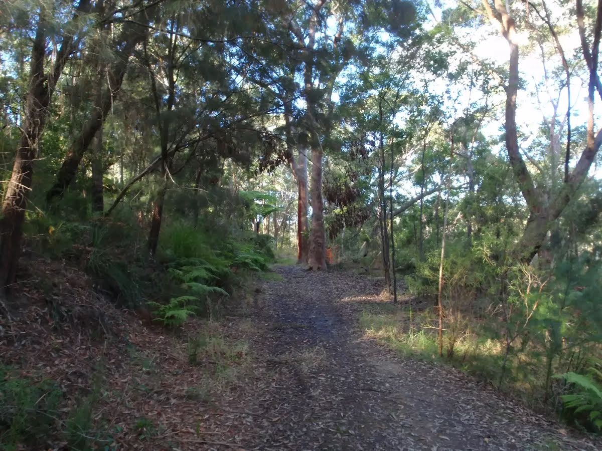
After another 20 m continue straight.
After another 40 m continue straight.
After another 9 m turn right.
After another 10 m turn left.
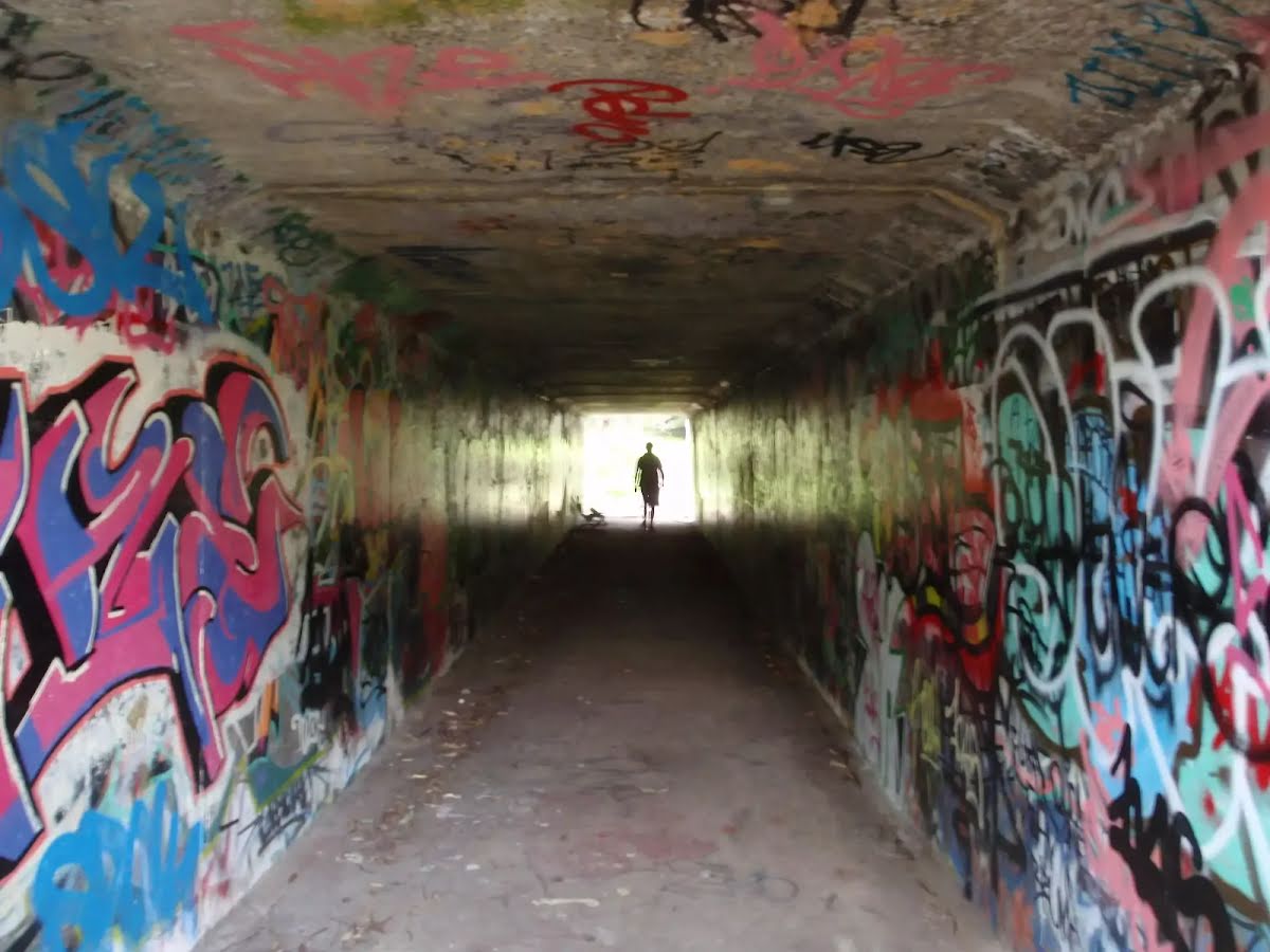
After another 20 m head through the tunnel (about 30 m long)
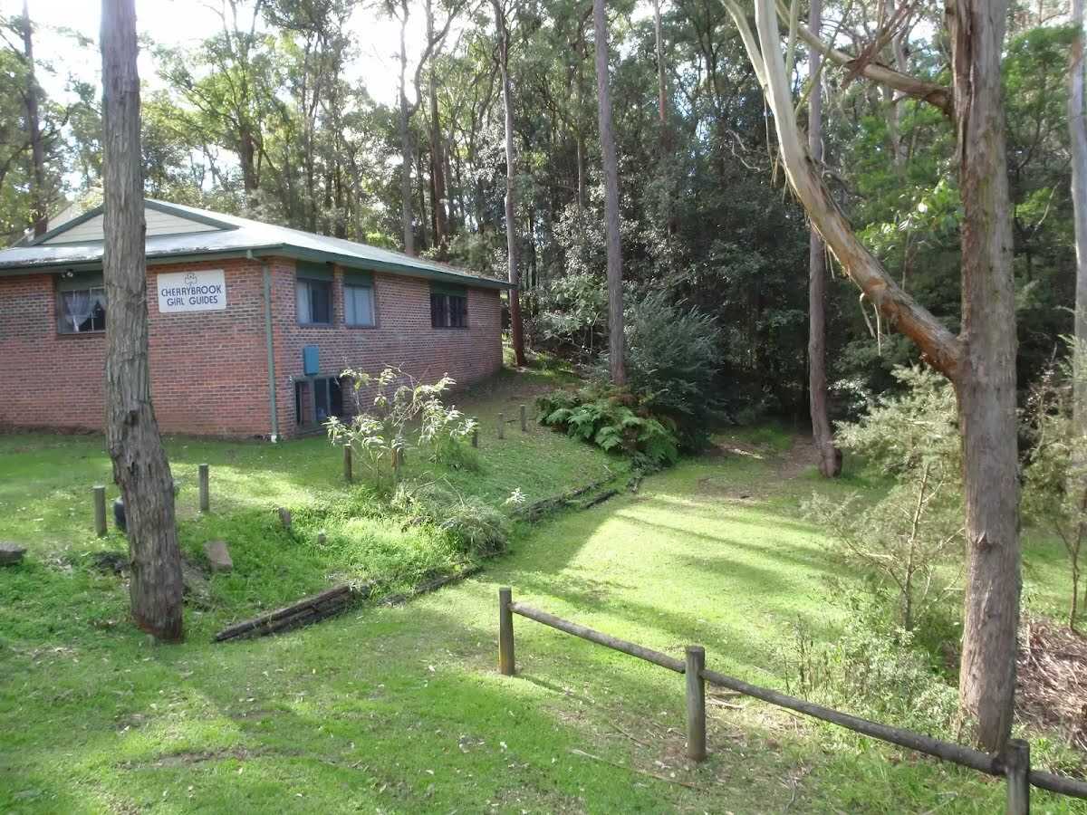
After another 45 m find the "Cherrybrook Girl Guides" (20 m on your left).
Cherrybrook Girl Guides
The Cherrybrook Girl Guides building is at the corner of Shepherds Dr and Macquarie Dr, Cherrybrook.
+
-
The Cherrybrook Girl Guides building is at the corner of Shepherds Dr and Macquarie Dr, Cherrybrook.
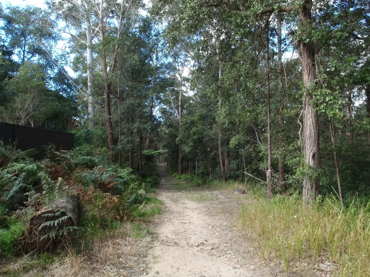
After another 410 m cross the stepping stones.
After another 155 m (at the intersection of McKinley Firetrail & Benowie Walking Track) continue straight, to head along McKinley Firetrail.
After another 40 m turn left.
After another 60 m turn right, to head along Blackwattle Trail.
After another 580 m (at the intersection of Blackwattle Trail & Daphne Trail) continue straight, to head along Daphne Trail.
After another 45 m continue straight, to head along Daphne Trail.
After another 800 m turn right.
After another 90 m turn right.
After another 280 m turn right, to head along Trevors Lane Trail.
After another 165 m (at the intersection of Trevors Lane Trail & Refuge Rock Trail) turn left, to head along Refuge Rock Trail.
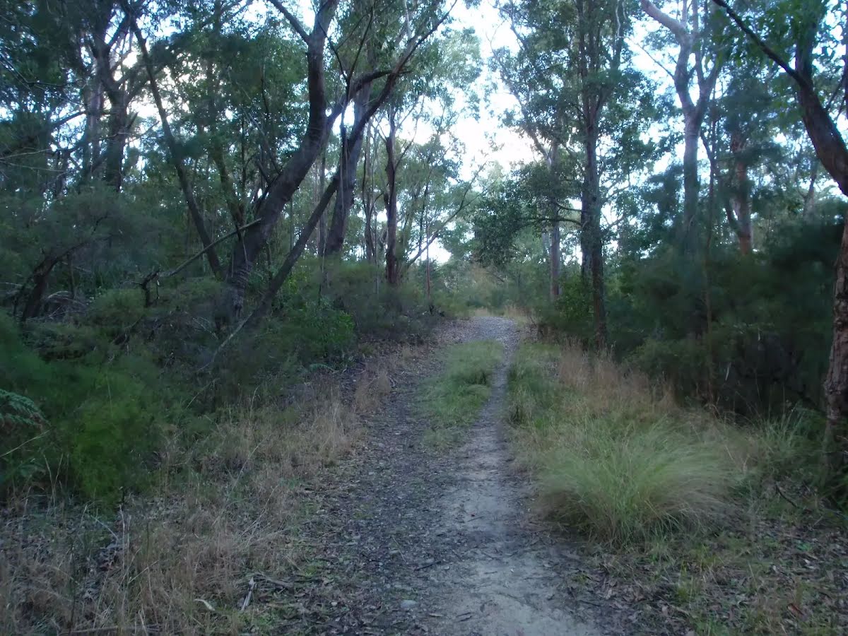
After another 120 m veer left, to head along Refuge Rock Trail.
After another 135 m veer right, to head along Refuge Rock Trail.
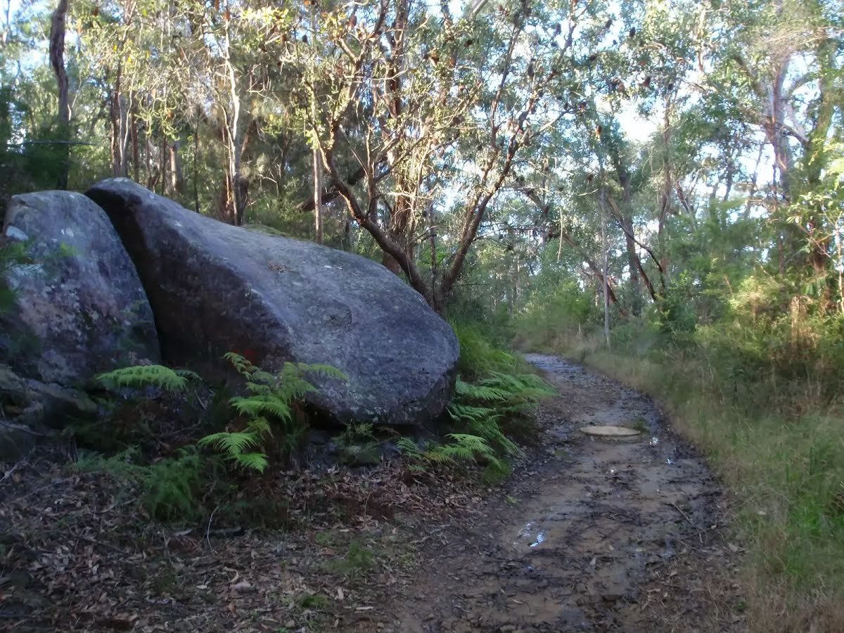
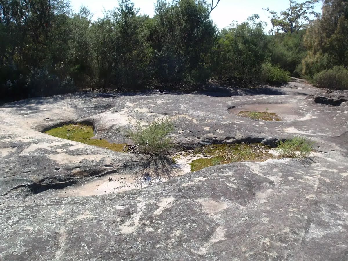
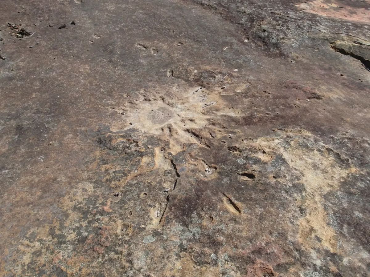
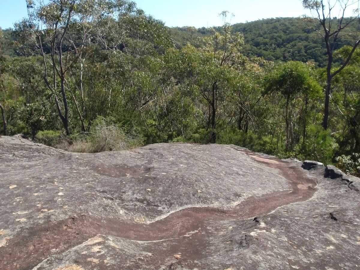
After another 300 m find the "Refuge Rock" (30 m on your left).
Refuge Rock
Refuge Rock
Refuge Rock is a large area of rock outcrops and platforms, at the end of the Refuge Rock walk near Cherrybrook. This area has a great atmosphere and is a nice spot to explore or relax, close to the suburbs, but feeling a million miles from it. The various rock platforms extend for hundreds of metres in all directions. At the far south-east edge of Refuge Rock is a natural arch, know as 'London Bridge'. Refuge Rock was used as a target area during military training around WWII. There are a number of visible marks in the rock surface from mortar shells.
+
-
Refuge Rock is a large area of rock outcrops and platforms, at the end of the Refuge Rock walk near Cherrybrook. This area has a great atmosphere and is a nice spot to explore or relax, close to the suburbs, but feeling a million miles from it. The various rock platforms extend for hundreds of metres in all directions. At the far south-east edge of Refuge Rock is a natural arch, know as 'London Bridge'. Refuge Rock was used as a target area during military training around WWII. There are a number of visible marks in the rock surface from mortar shells.
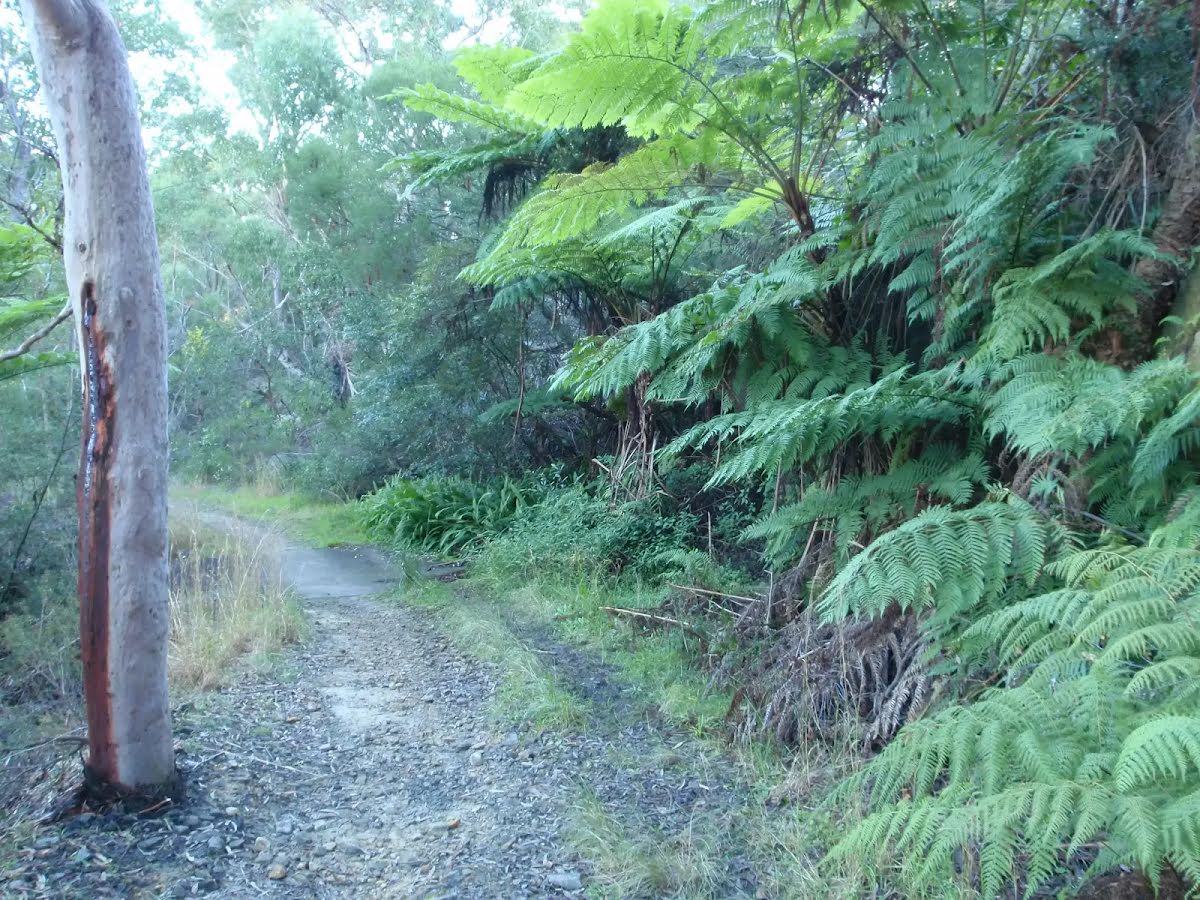
After another 85 m veer left, to head along Refuge Rock Trail.
After another 135 m veer right, to head along Refuge Rock Trail.
After another 120 m (at the intersection of Trevors Lane Trail & Refuge Rock Trail) turn right, to head along Trevors Lane Trail.
After another 165 m turn right.
After another 85 m come to the end.
Turn map
Directions & comments
Start.
After another 245 m come to "London Bridge".
The end.
About 15 m past the end is "Natural Arch".
Natural Arch
Natural Arch
This natural arch, known locally as 'London Bridge' is at the south-eastern edge of Refuge Rock, near Cherrybrook. The arch is formed below a long, narrow block of rock at the edge of a larger rock platform. To see the arch, you walk down through the narrow chasms separating the block from the rock platform, to emerge underneath the arch. The arch itself, and the area around it is beautiful.
+
-
This natural arch, known locally as 'London Bridge' is at the south-eastern edge of Refuge Rock, near Cherrybrook. The arch is formed below a long, narrow block of rock at the edge of a larger rock platform. To see the arch, you walk down through the narrow chasms separating the block from the rock platform, to emerge underneath the arch. The arch itself, and the area around it is beautiful.
Turn around and retrace your steps back the 245 m to the main route.
+
-
Terrain
Know the Hills, grading & facilities
Cherrybrook to Refuge Rock
Grading
Class 3/6
Moderate track
Length
4 km
Time
1 h 30 min to 1 h 45 min
Quality of track
Clear and well formed track or trail (2/6)
Gradient
Short steep hills (3/6)
Signage
Directional signs along the way (3/6)
Infrastructure
Limited facilities, not all cliffs are fenced (3/6)