


| Start | (-33.0629642,151.3366642) |
| Mode | Car (There is free parking available.) |
| Directions | From Pacific Motorway, M1
|
| Turn map | Directions & comments |
|---|---|
 |
|
 |
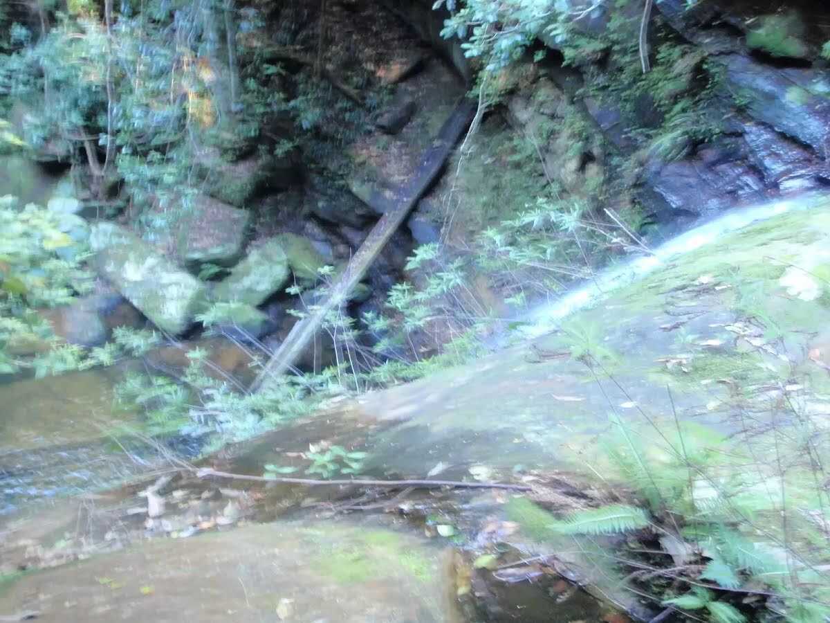
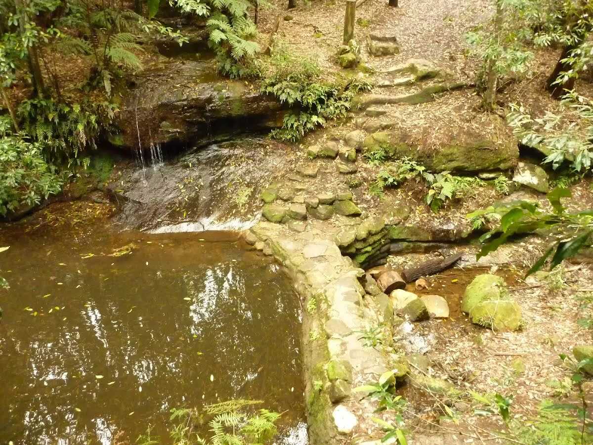
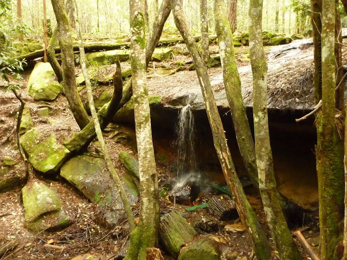
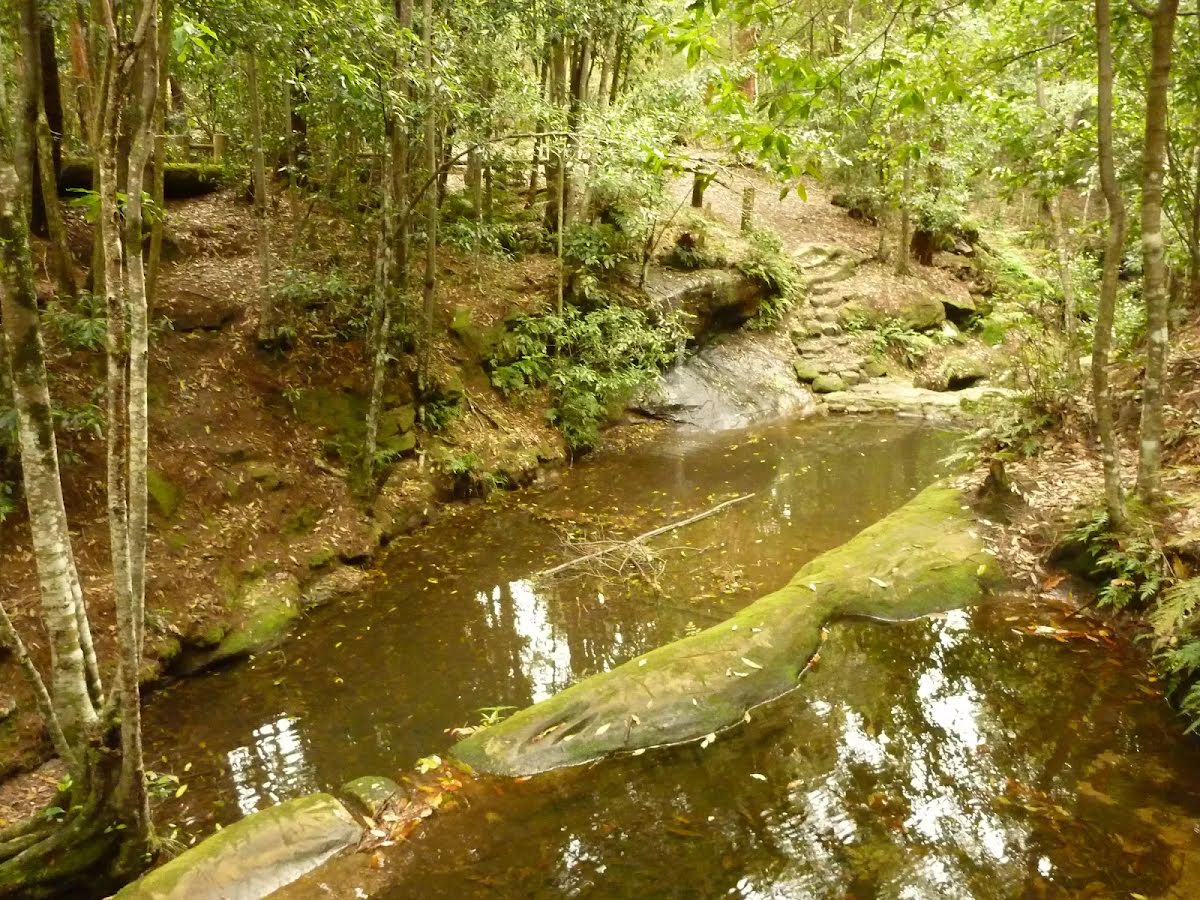
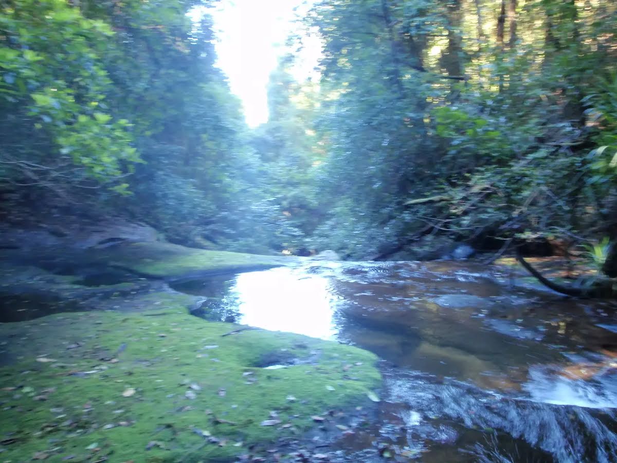
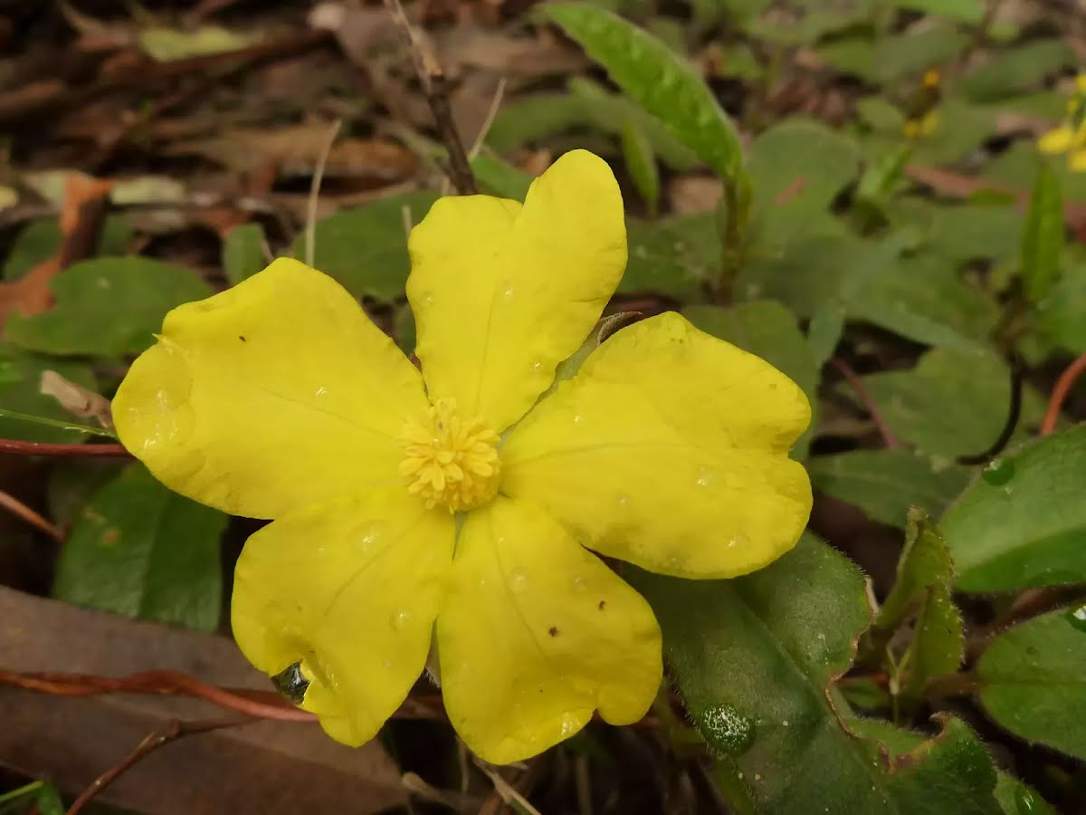
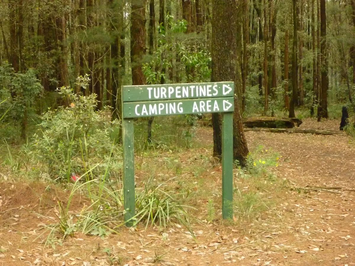
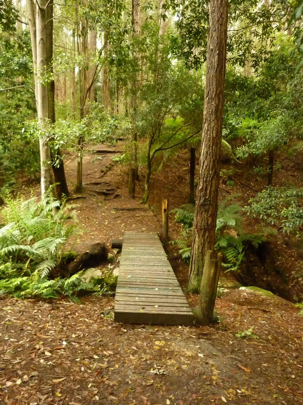
The starting point of an optional sidetrip. An optional side trip to Dammed Pool. To start this optional side trip veer left here. On returning from this side trip turn left when you get back to this intersection. Details below.
|
 |
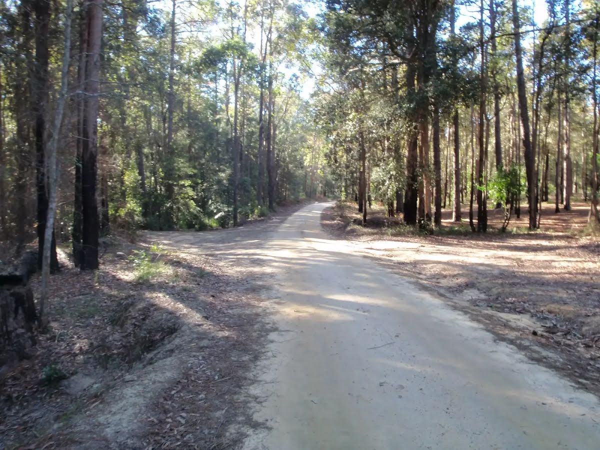
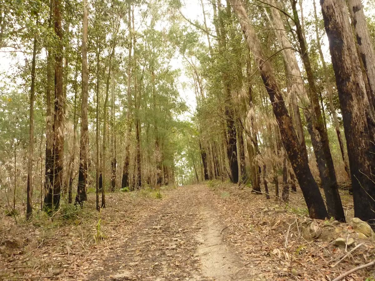
After another 450 m (from the Palmers Road) veer left, to head along Palmers Road (a vehicle track).
|
 |
|
 |
|
 |
|
 |
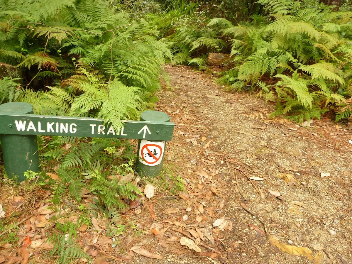
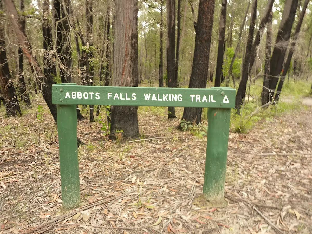
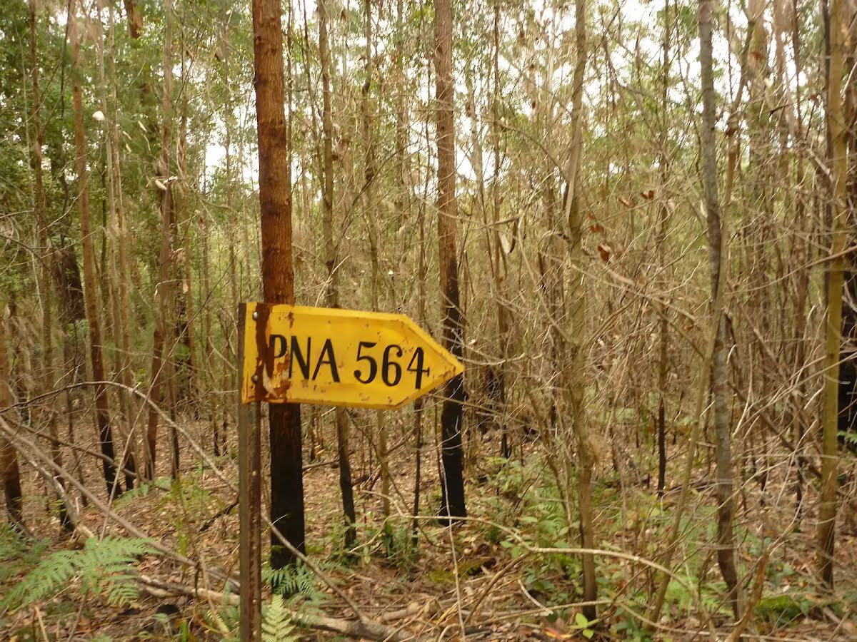
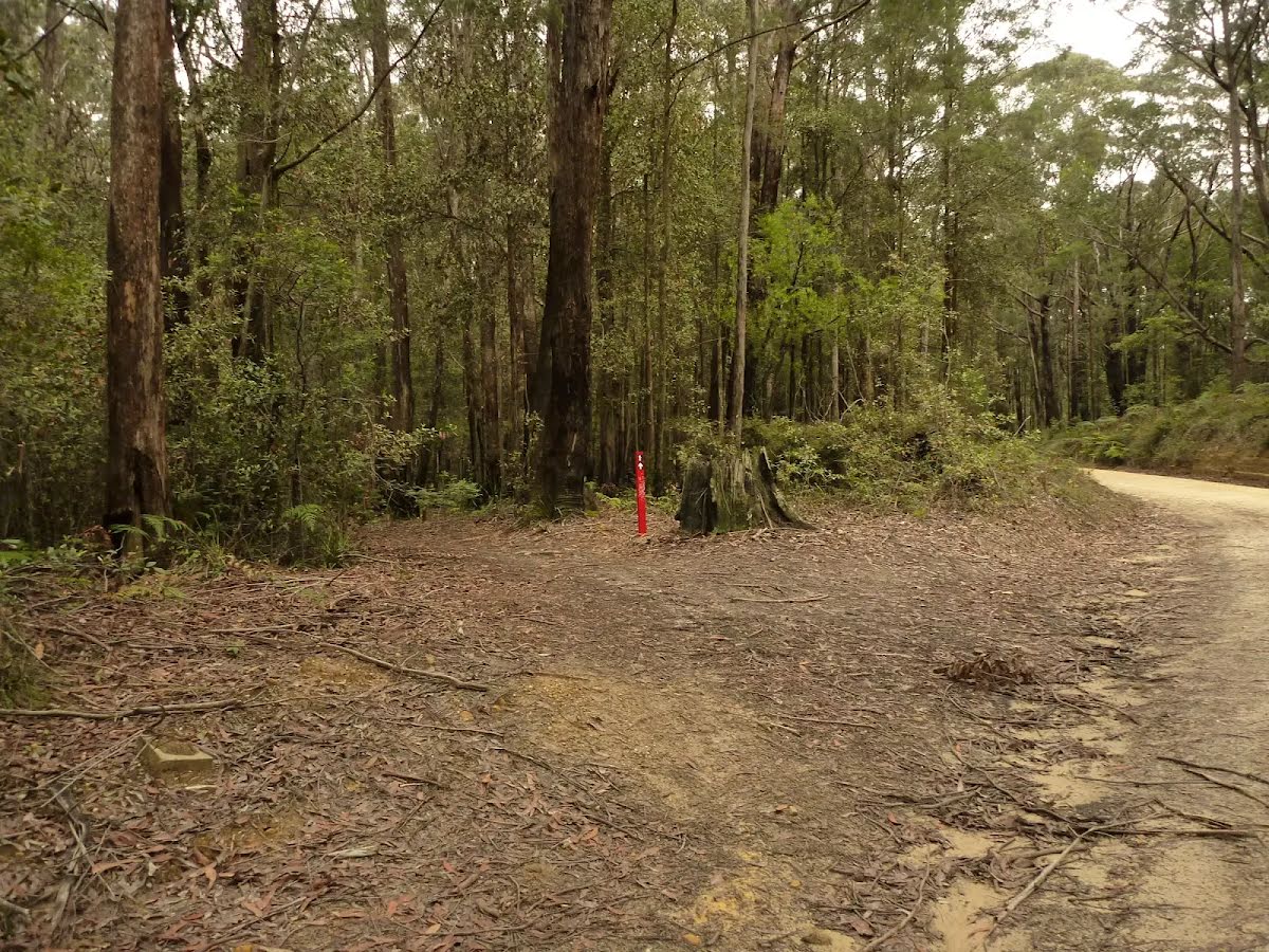
After another 50 m (at the intersection of Abbotts Road & Abbotts Falls Walking Trail) turn left, to head along Abbotts Road (a vehicle track).
|
 |
|
 |
|
 |
|
 |
|
 |
|
 |

|
|
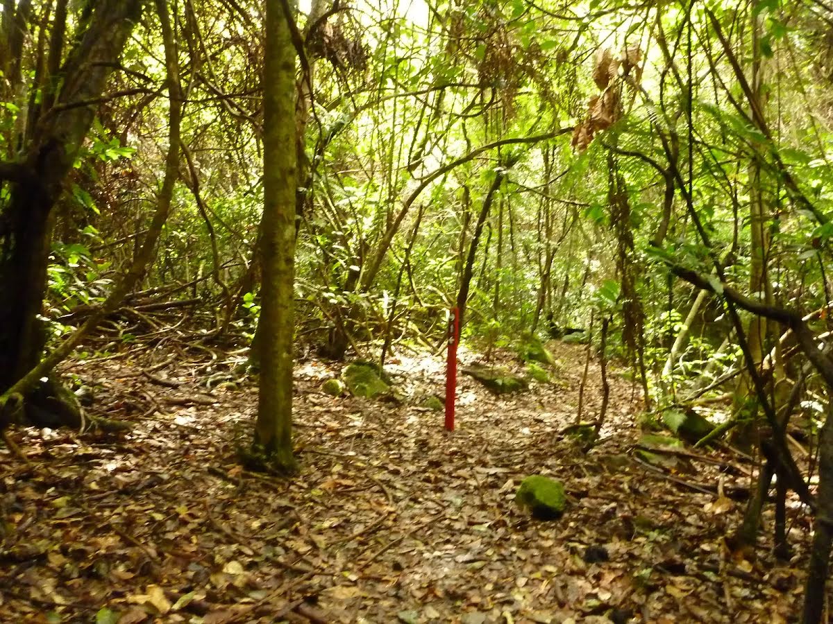
Class 4/6 Hard track |
|---|---|
| Length | 7.2 km |
| Time | 2 h 45 min to 3 h |
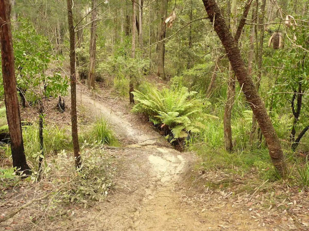
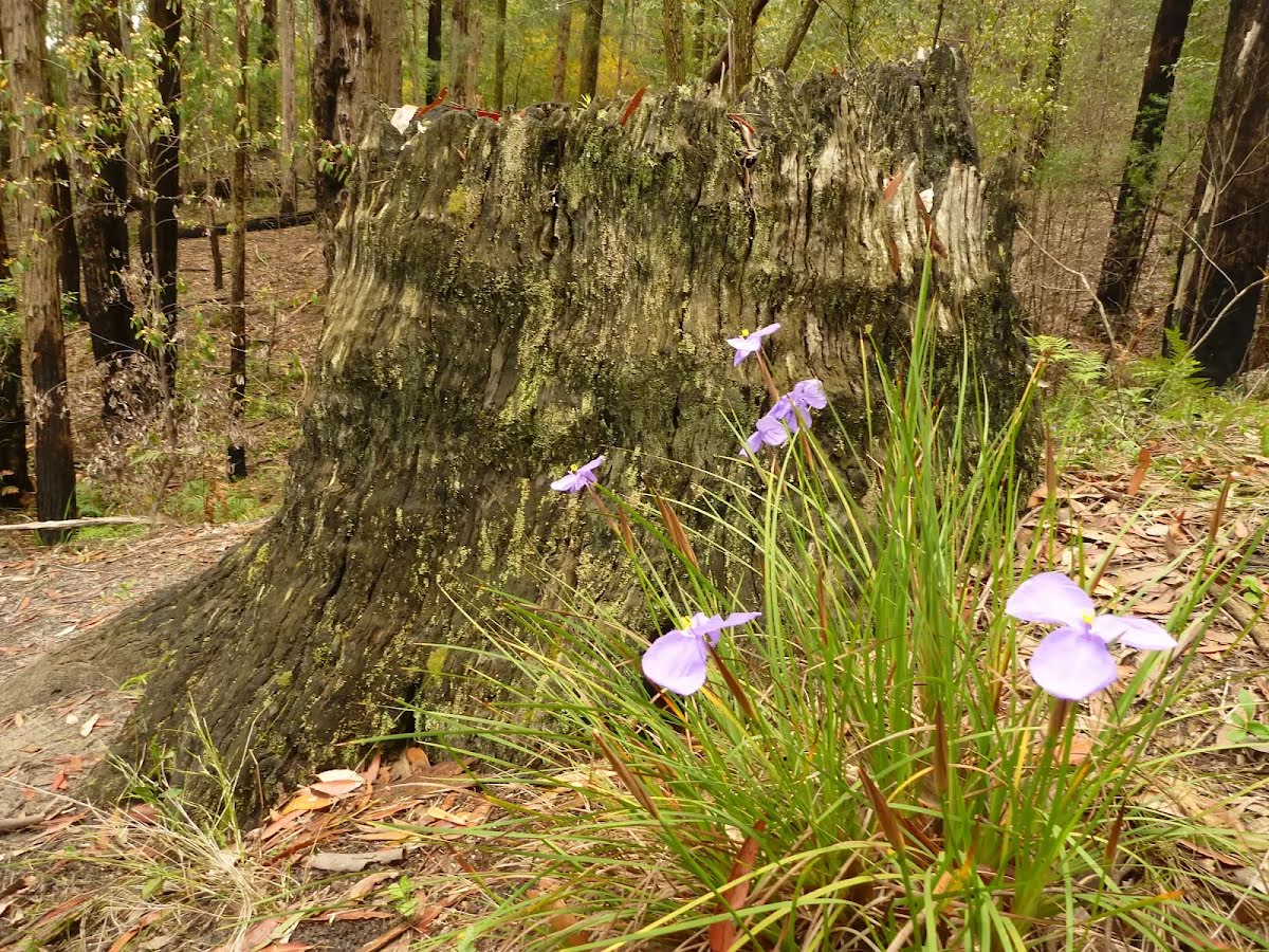
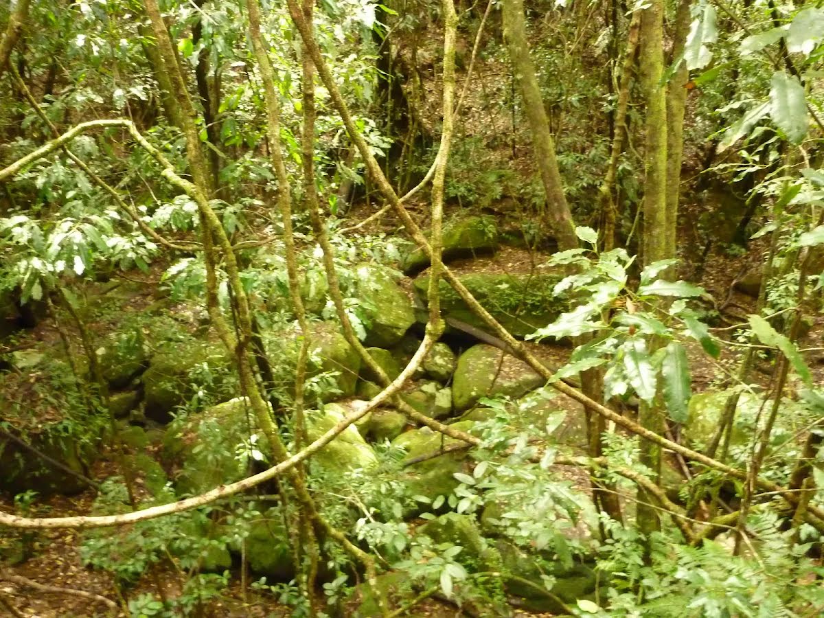
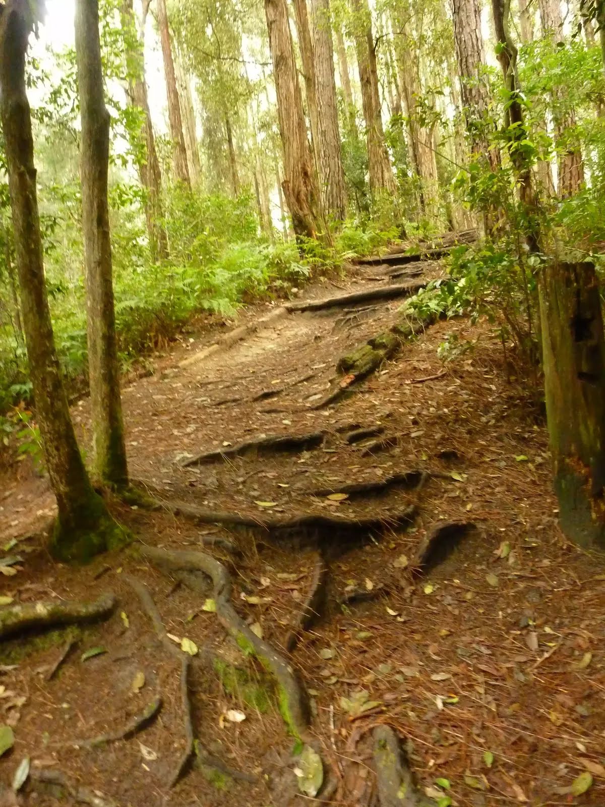
| Quality of track | Rough track, where fallen trees and other obstacles are likely (4/6) |
| Gradient | Very steep (4/6) |
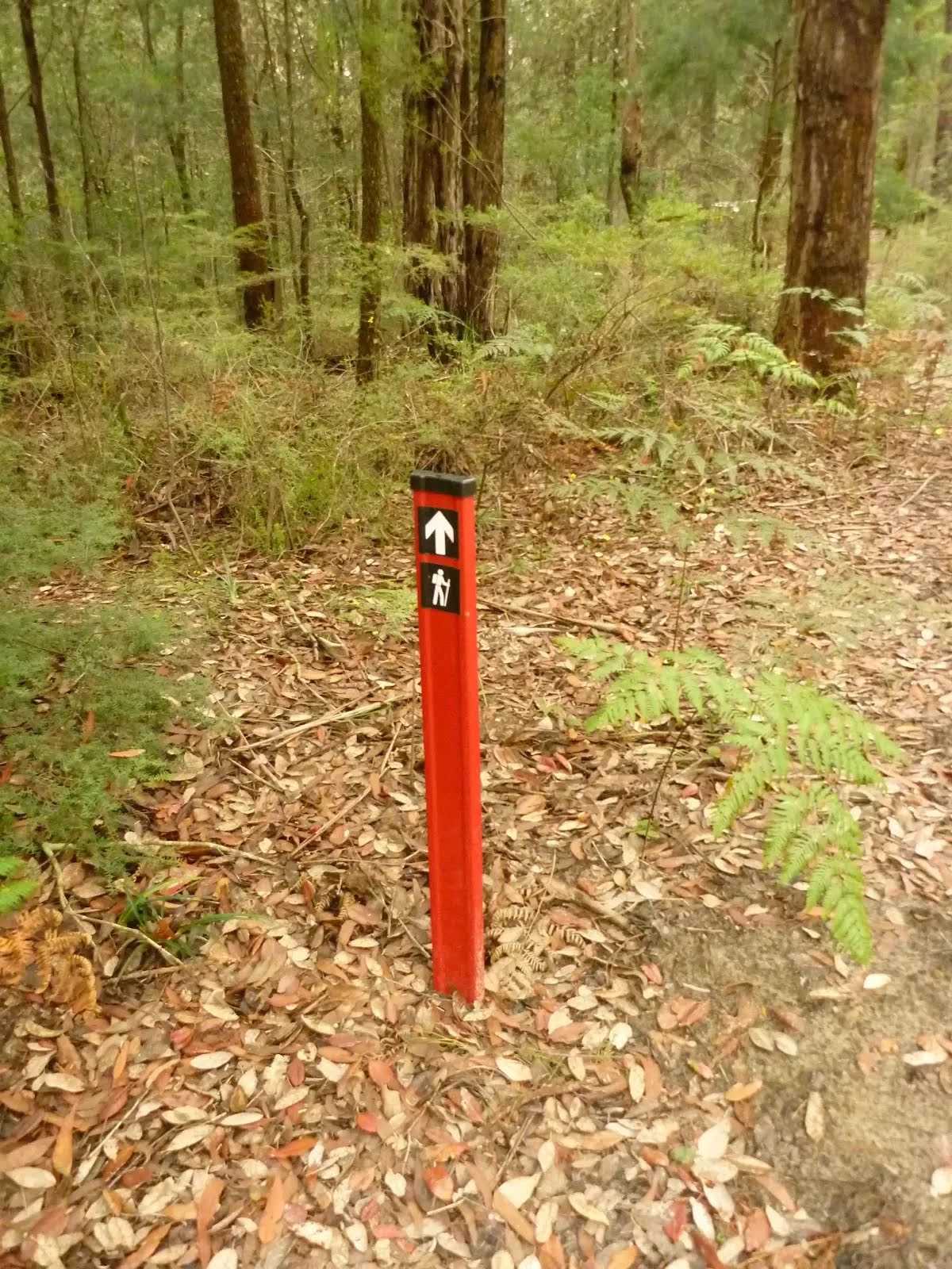
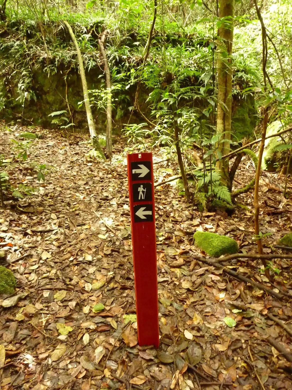
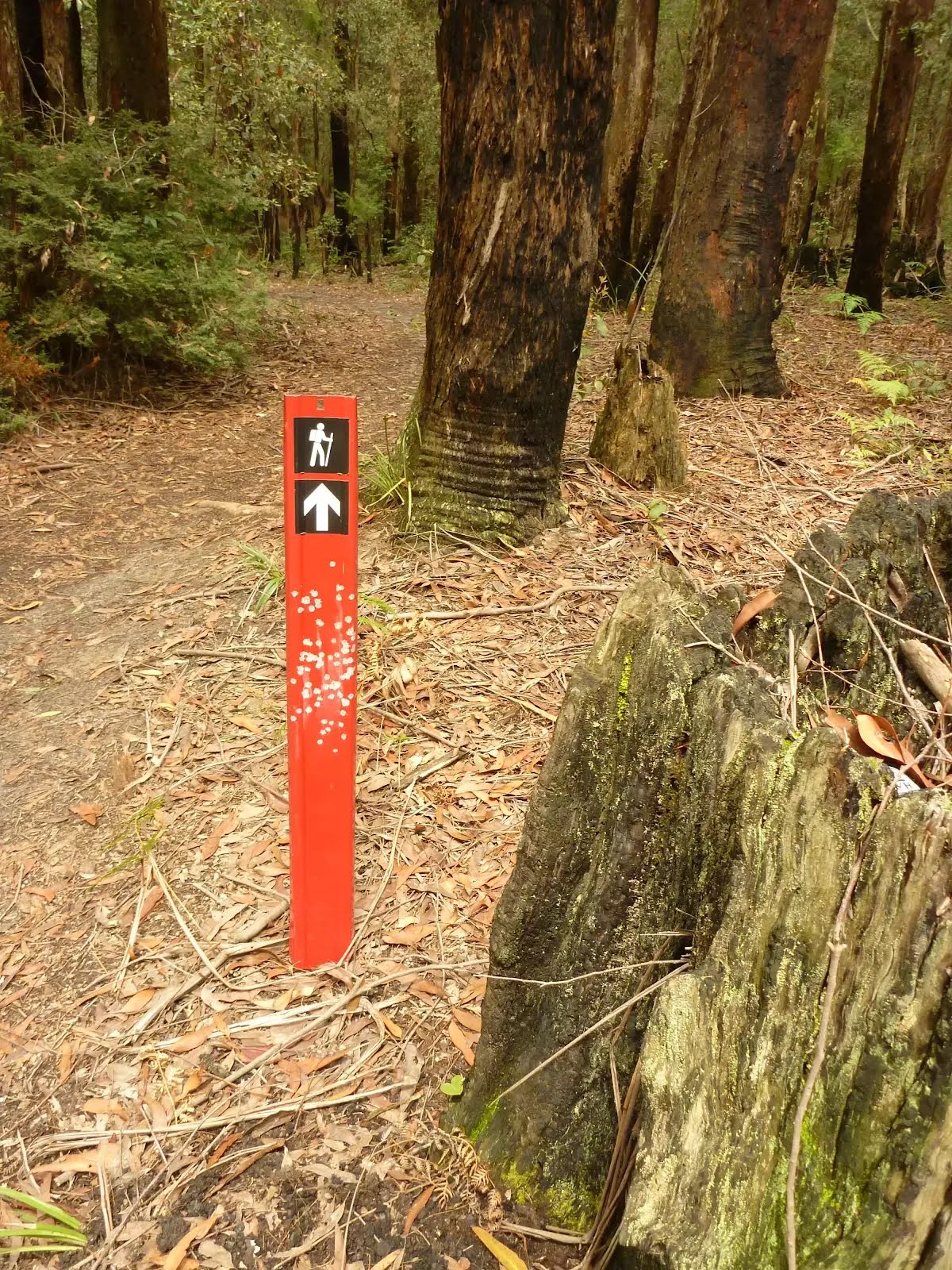
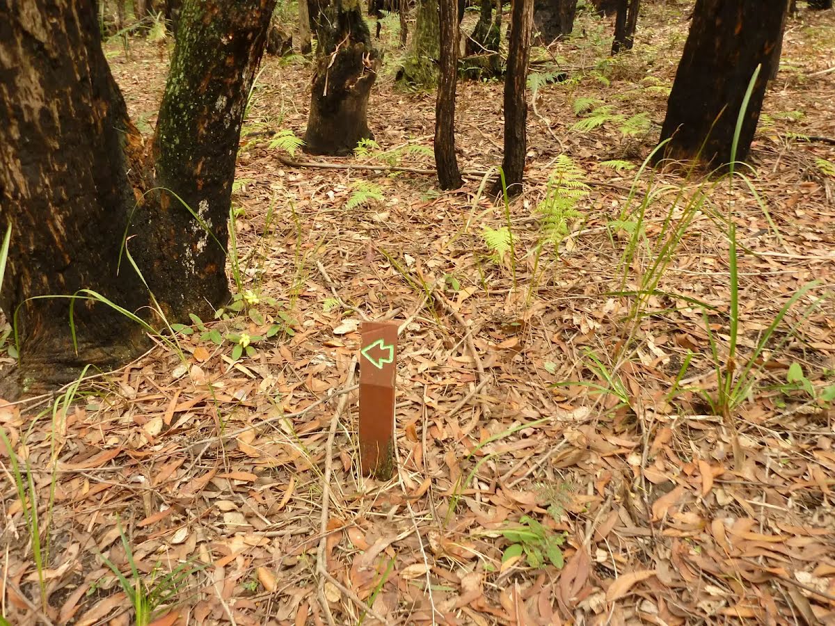
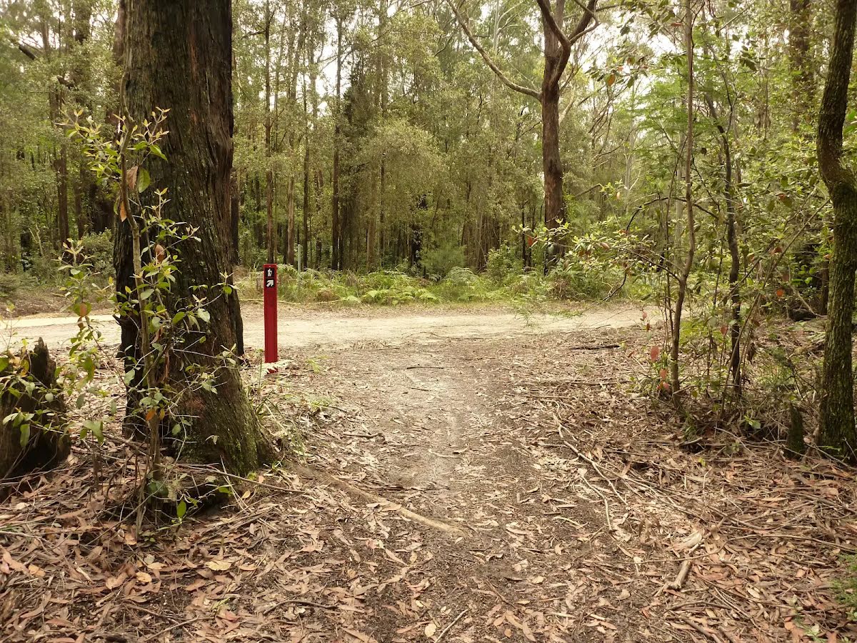
| Signage | Directional signs along the way (3/6) |
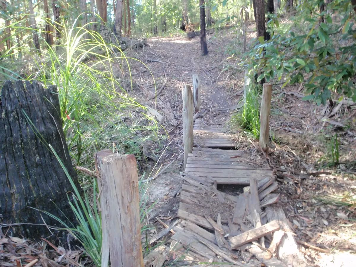
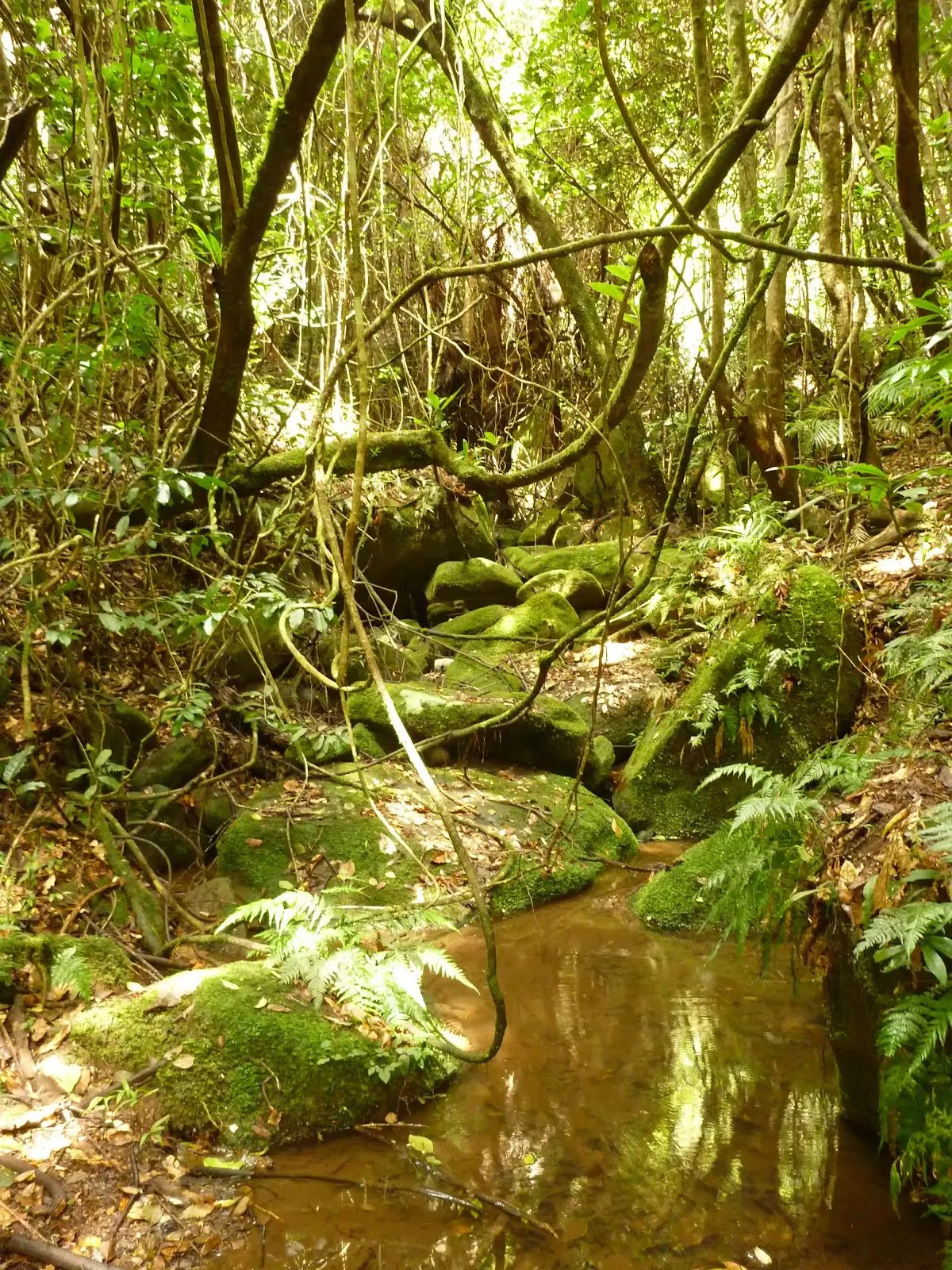
| Infrastructure | Limited facilities (such as cliffs not fenced, significant creeks not bridged) (4/6) |
| Experience Required | Moderate level of bushwalking experience recommended (4/6) |
| Weather | Weather generally has little impact on safety (1/6) |
| Item | From Start | Name & link to notes |
|---|---|---|
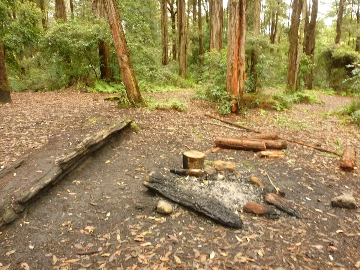
Camp site
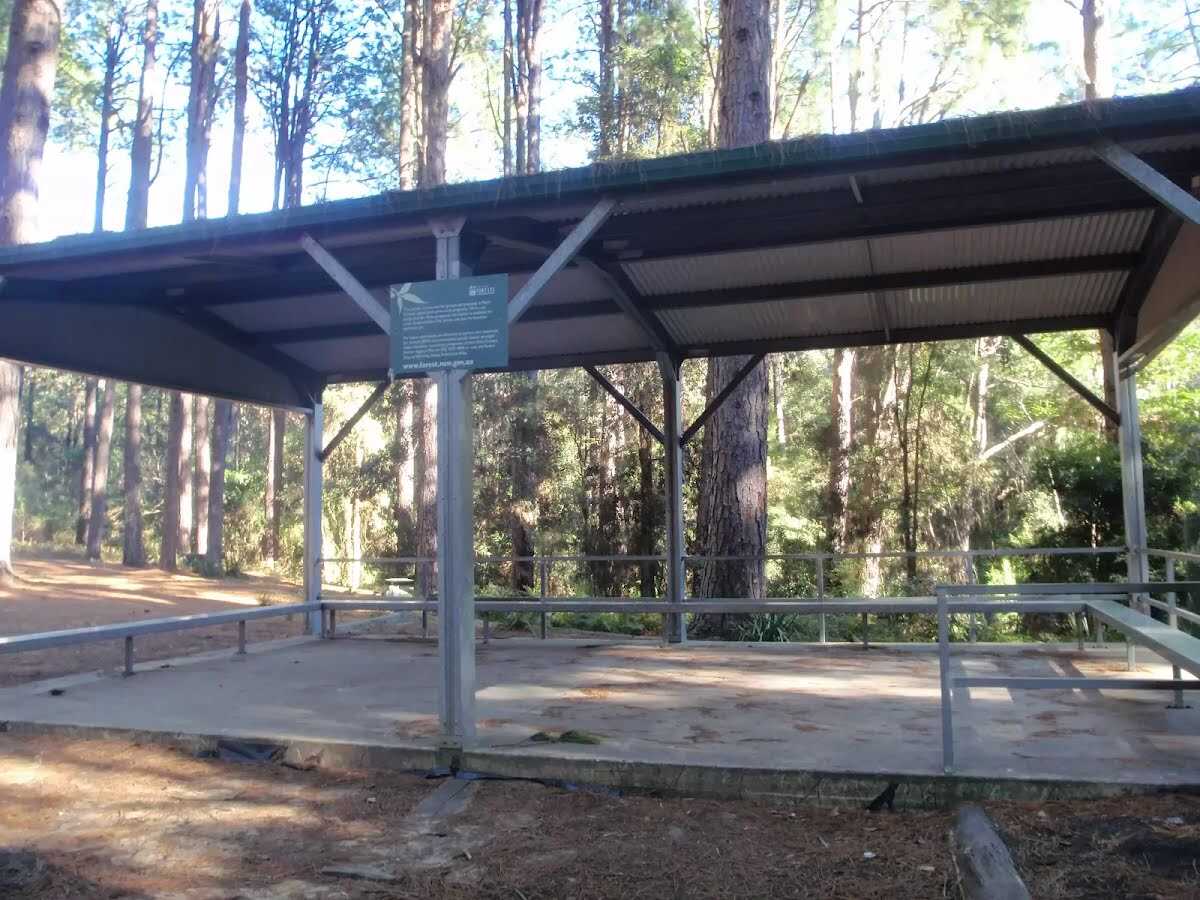
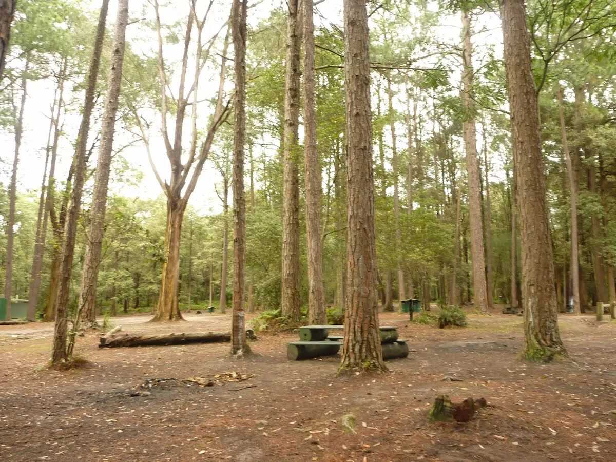
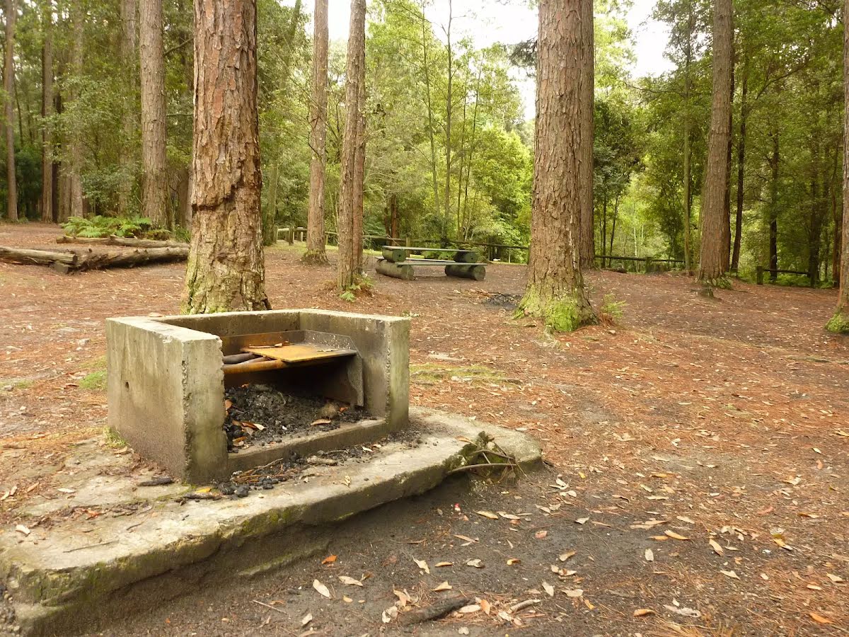
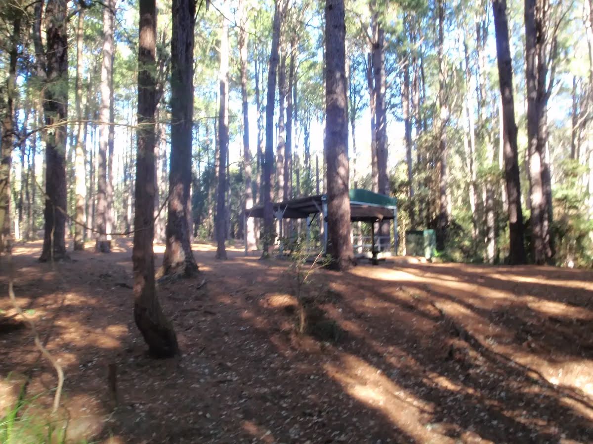
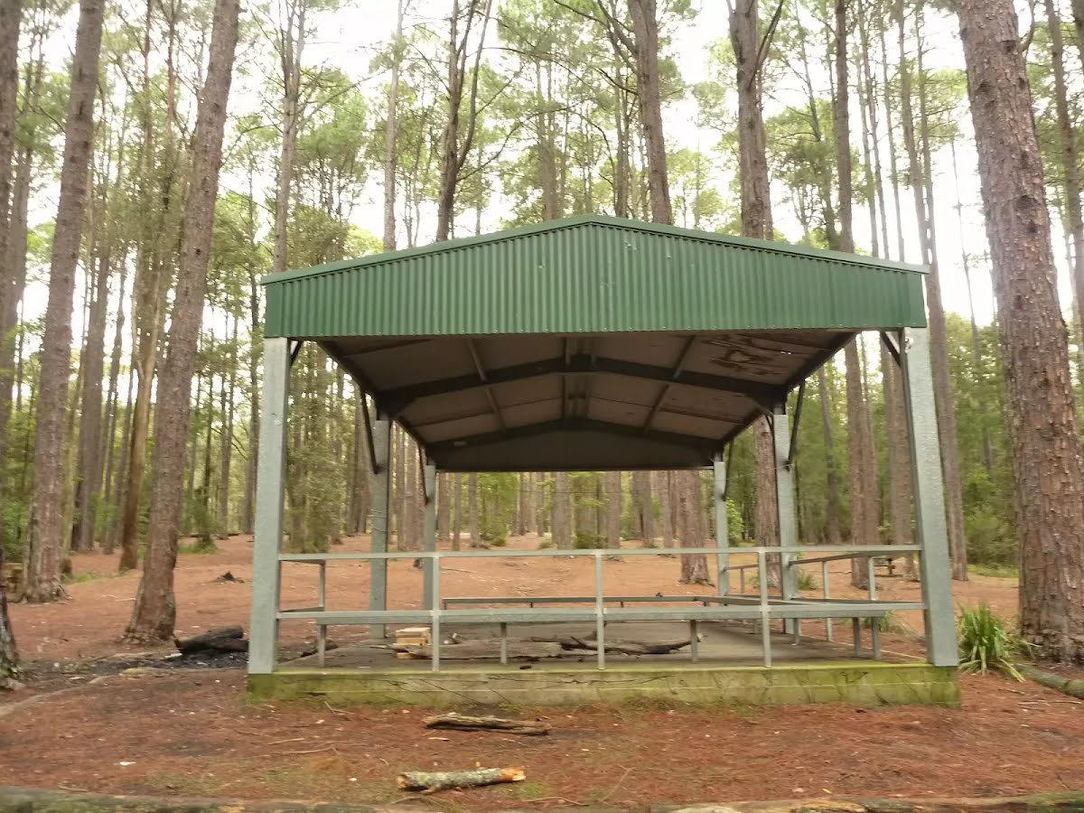
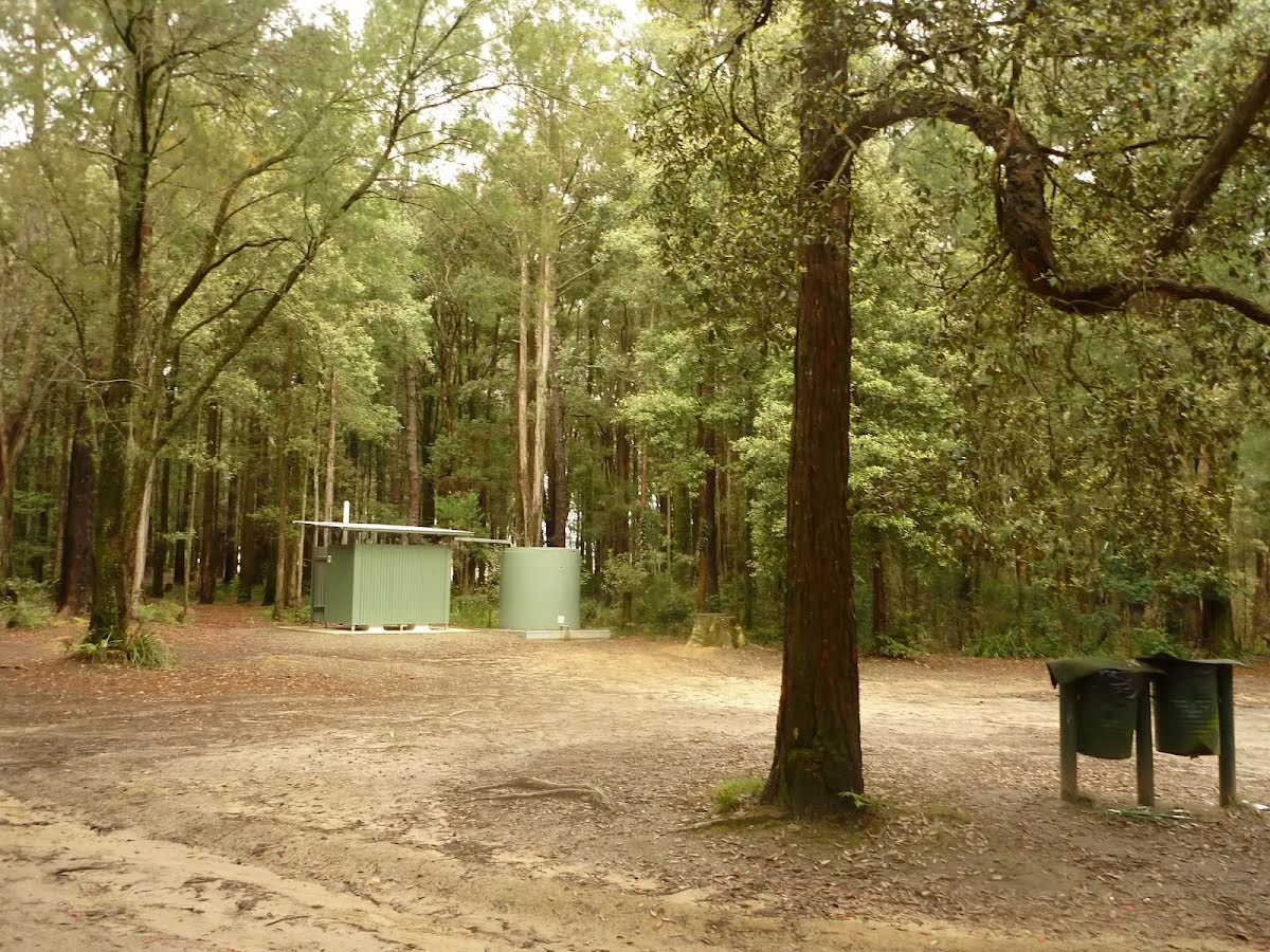
| 0 m | The Pines Camping Area |
Toilet
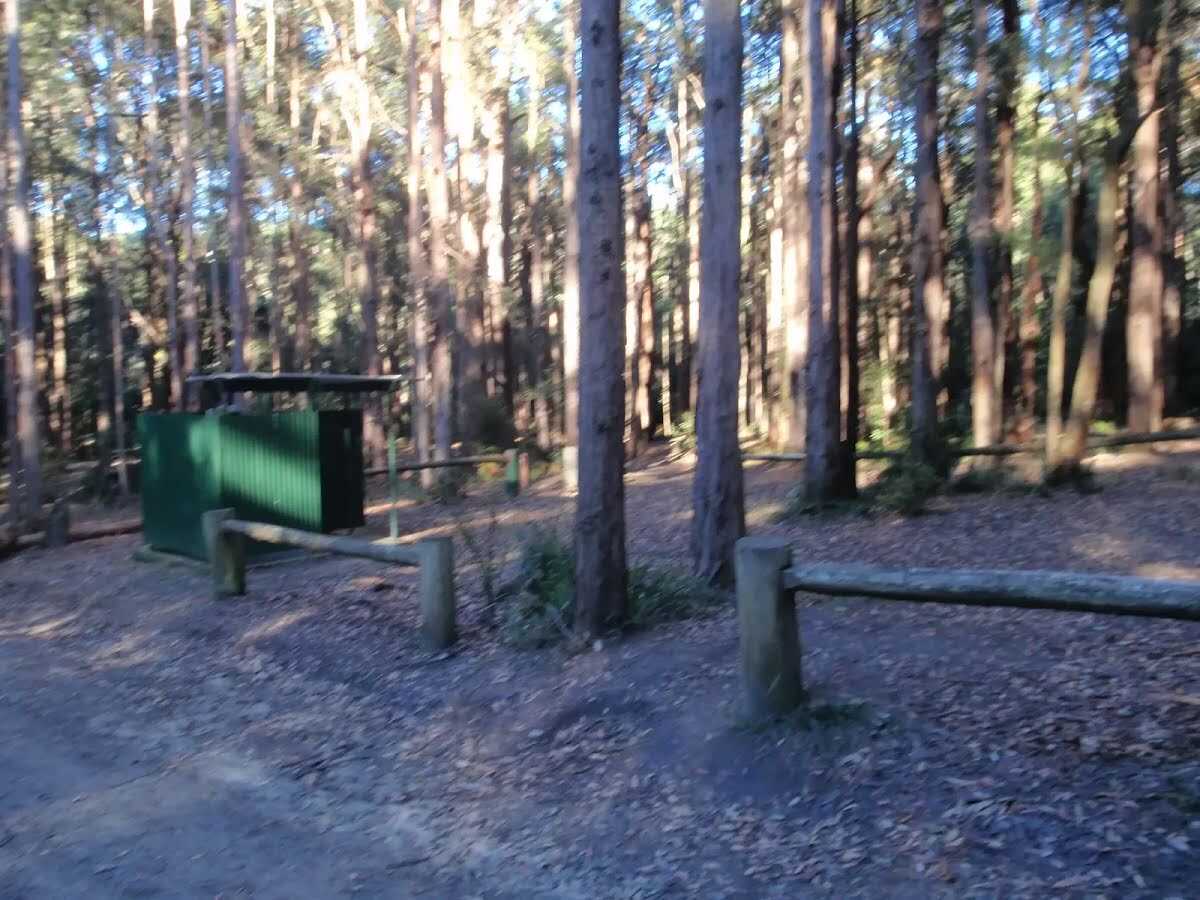
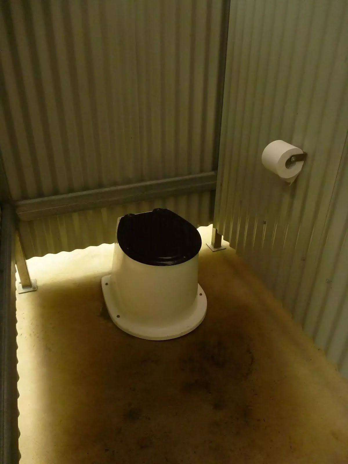
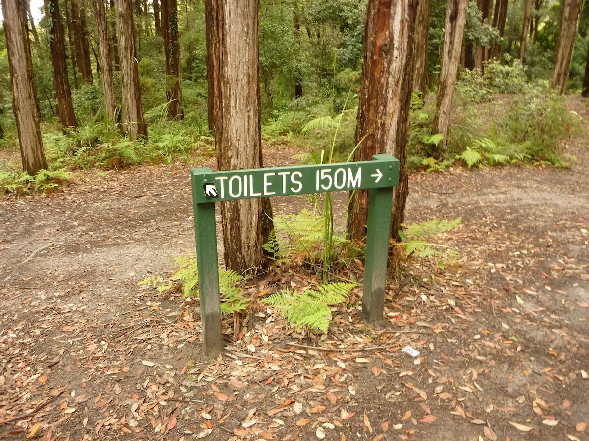
| 25 m | [toilet] |
Toilet
| 600 m | [toilet] |
Campsite
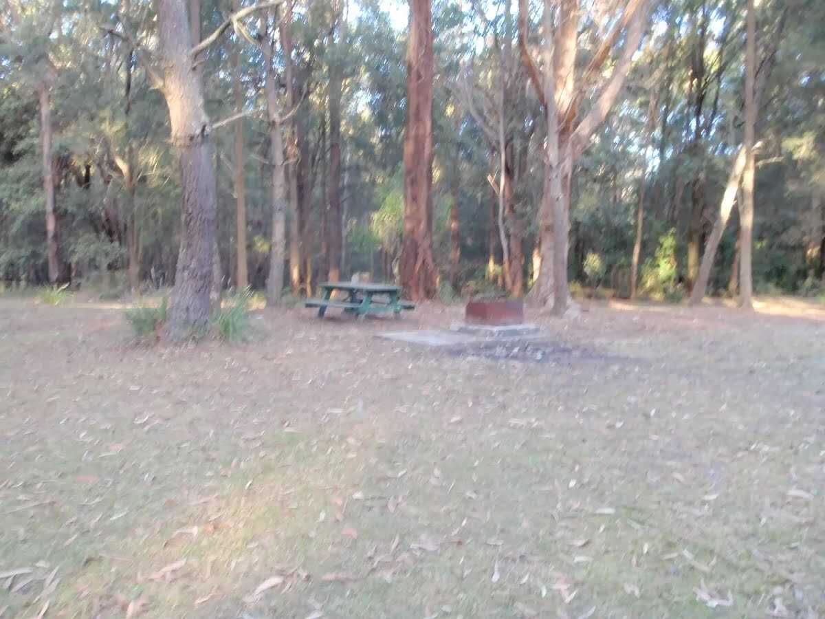
| 6.5 km | Casuarina Campsite |
Toilet
| 6.6 km | [toilet] |
Campsite
| 7.1 km | Turpentine Campsite |
Campsite
| 7.2 km | The Pines Camping Area |