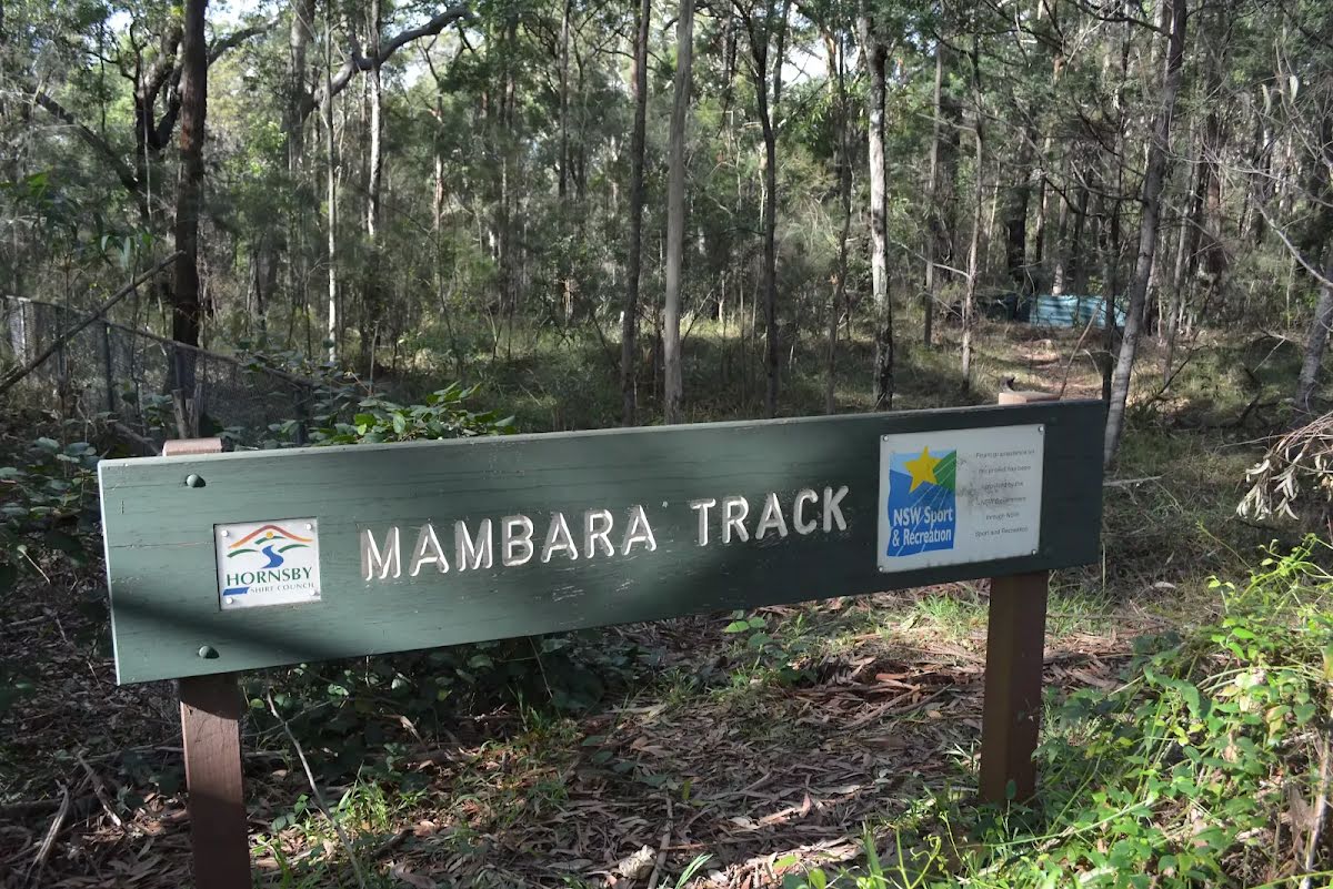
| Start | From the Mambara Track (-33.7435425,151.0782846) |
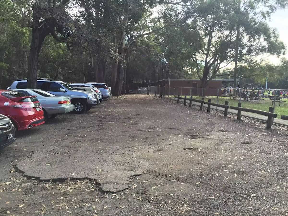
| Mode | Bus Car (There is free parking available.) |
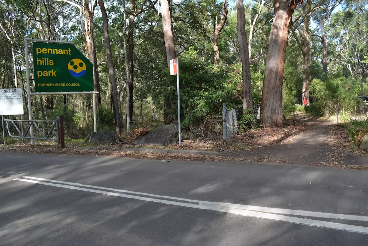
| Directions | From Pennant Hills Road, A28
|

|
|
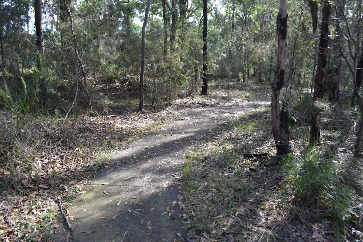
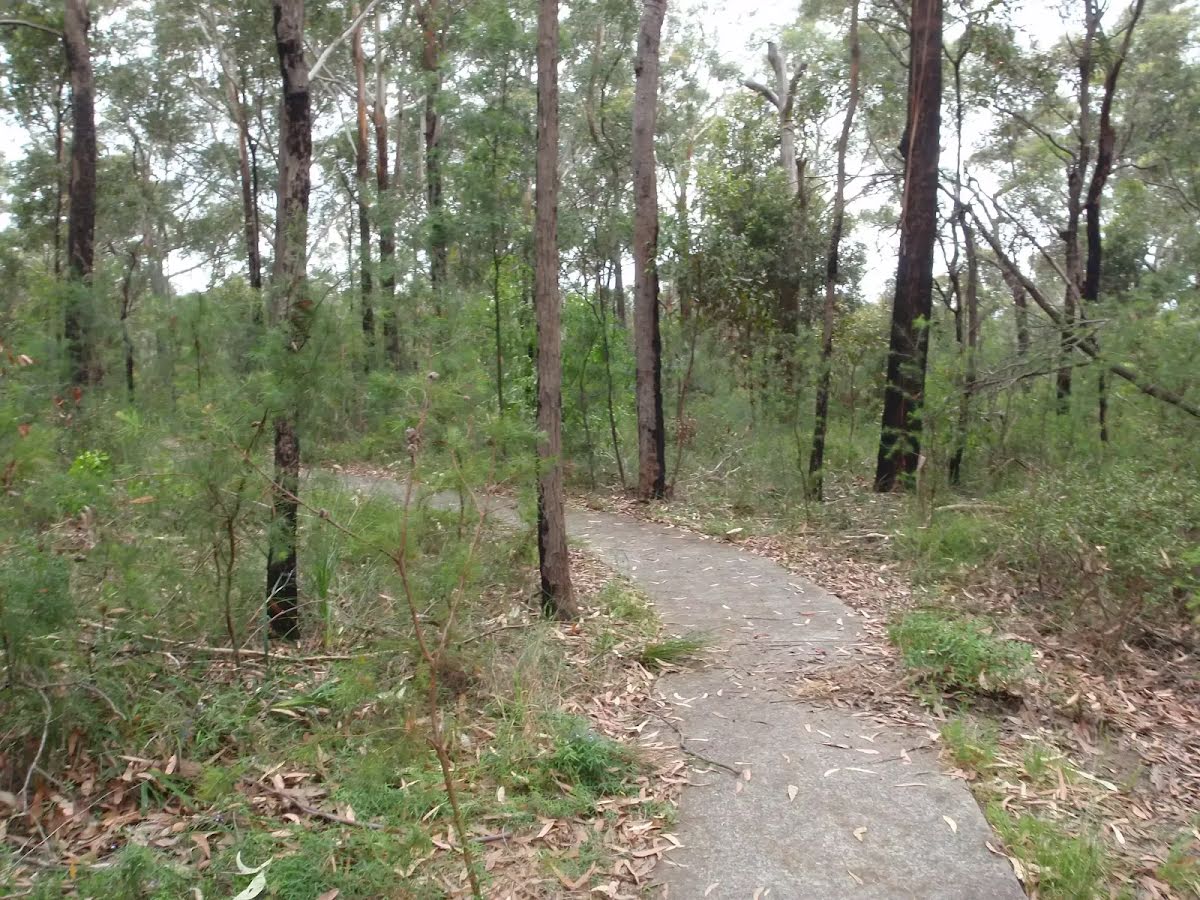
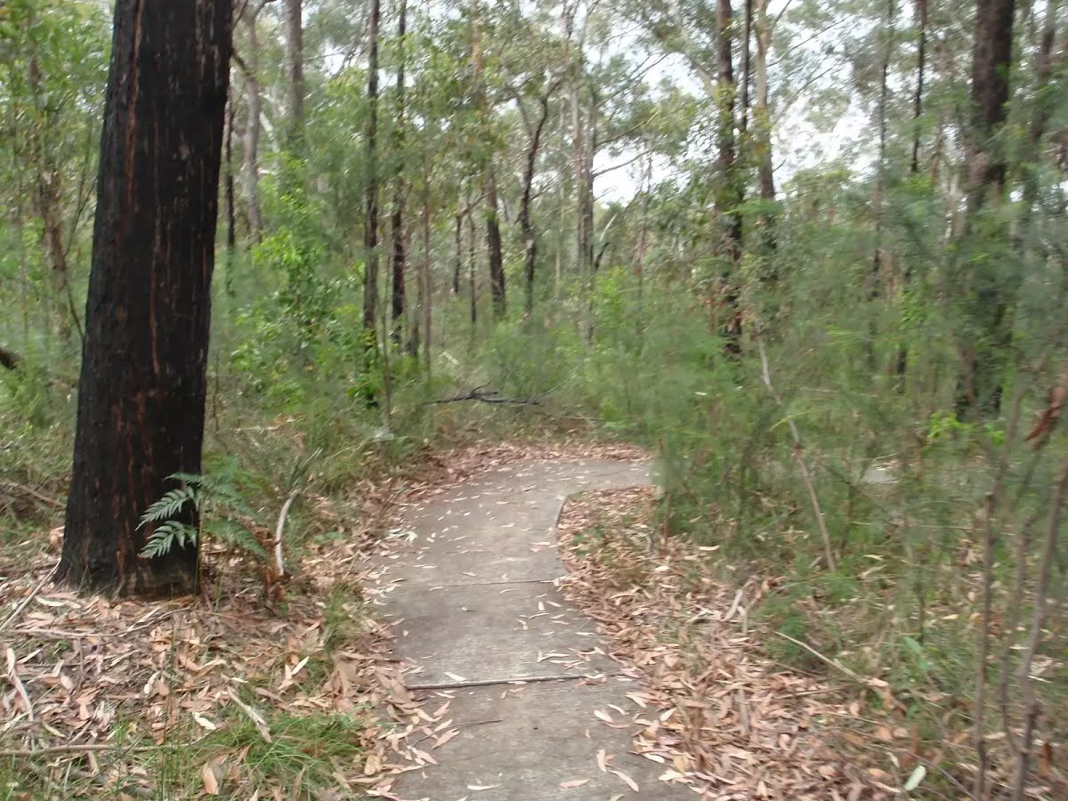
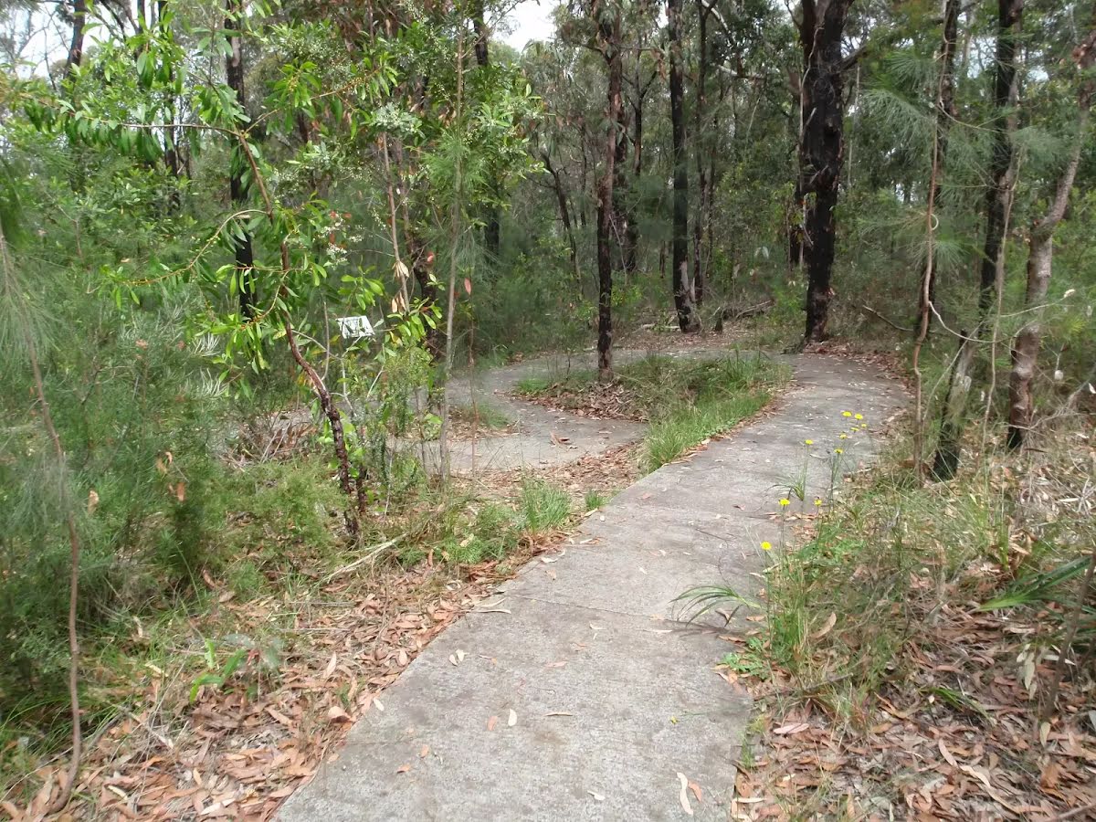
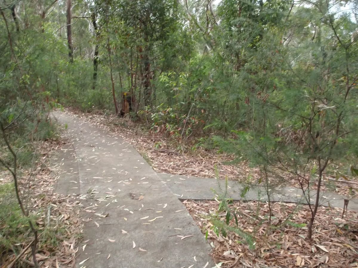
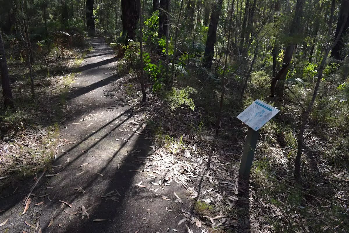
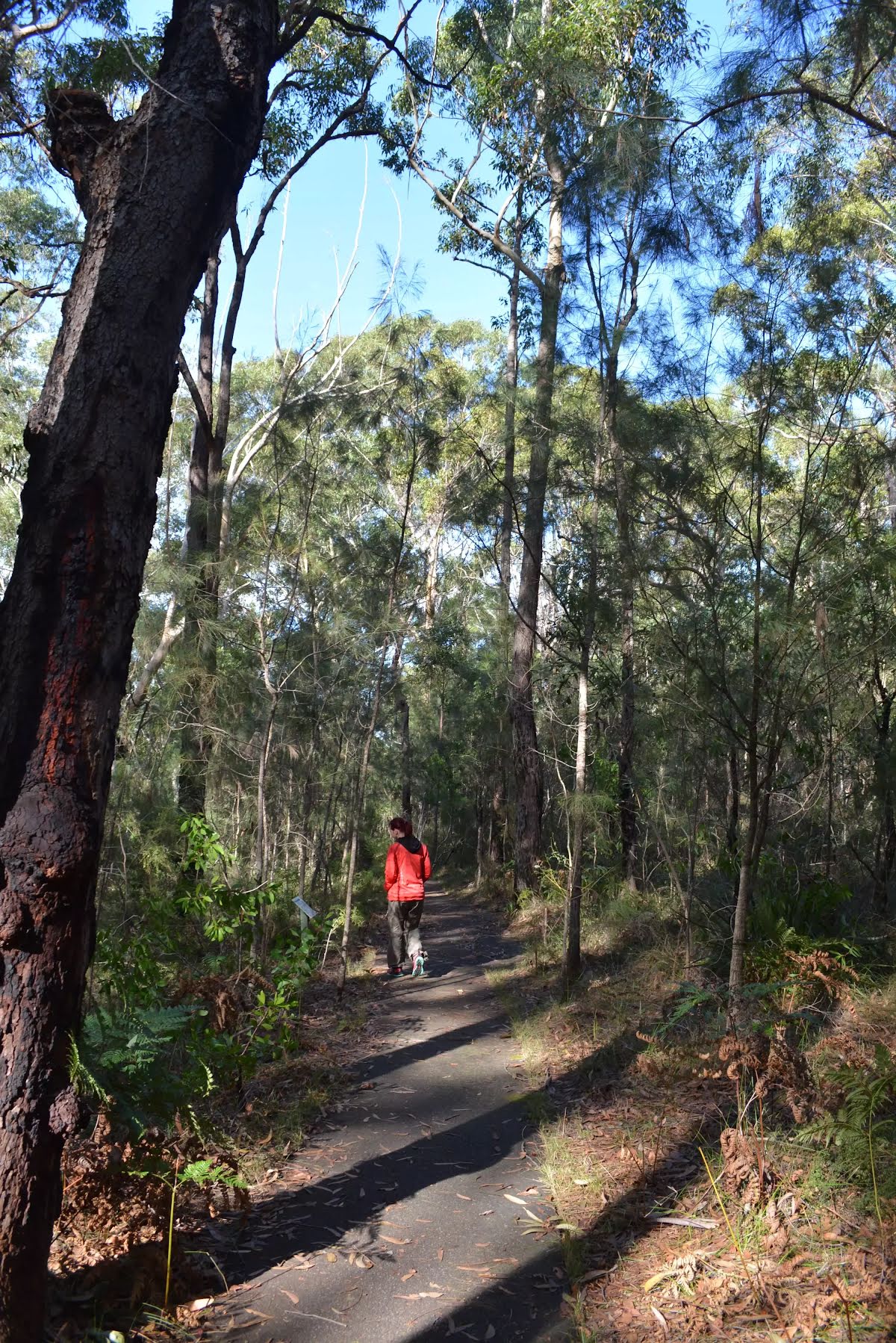
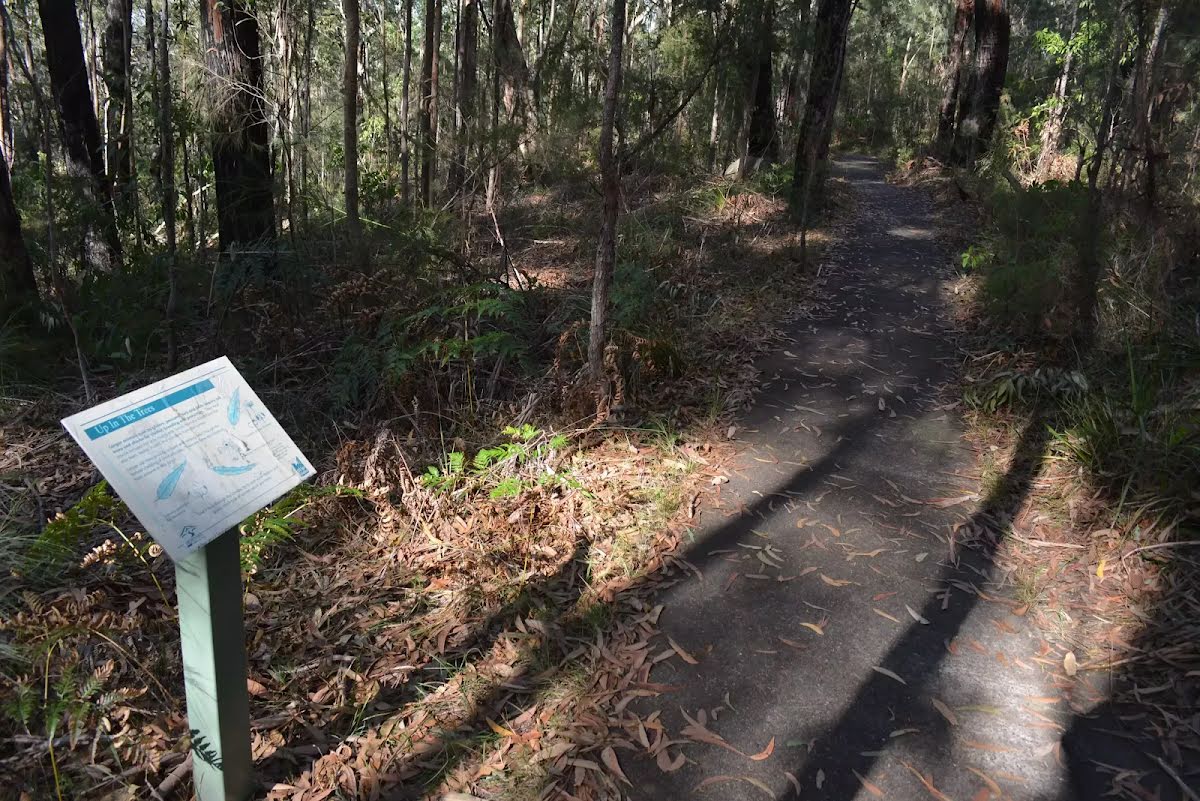
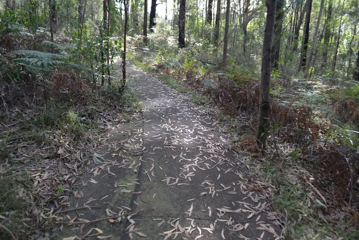
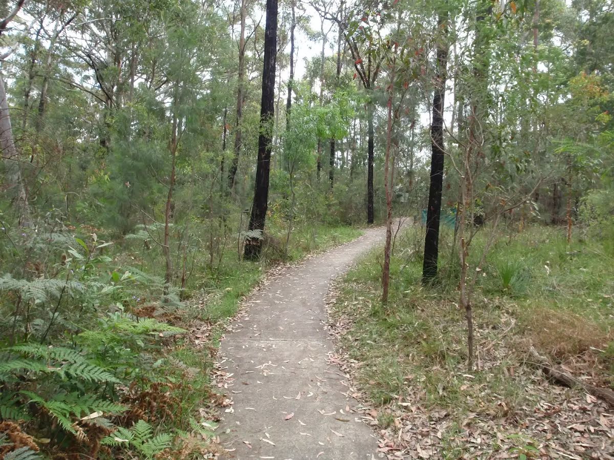
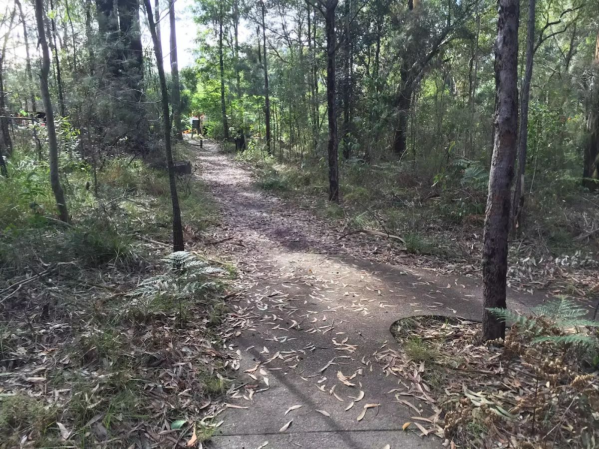
Class 1/6 Smooth & flat |
|---|---|
| Length | 670 m |
| Time | 15 min to 20 min |
| Quality of track | Smooth and hardened path (1/6) |
| Gradient | Flat, no steps (1/6) |
| Signage | Clearly signposted (1/6) |
| Infrastructure | Generally useful facilities (such as fenced cliffs and seats) (1/6) |
| Experience Required | No experience required (1/6) |
| Weather | Weather generally has little impact on safety (1/6) |
| Item | From Start | Name & link to notes |
|---|---|---|
Toilet
| -113 m | [toilet] |
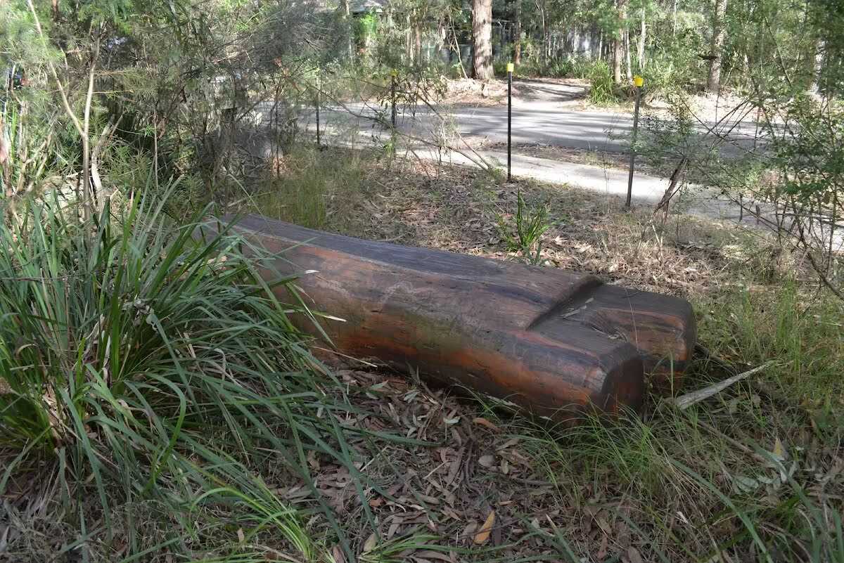
Seat
| 75 m | Seat |