Mt Ettalong Lookout
Darkinjung & Guringai Country

30 min to 1 h

1.3 km
return

↑ 24 m
↓ -24 m

Easy track
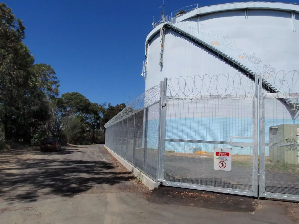
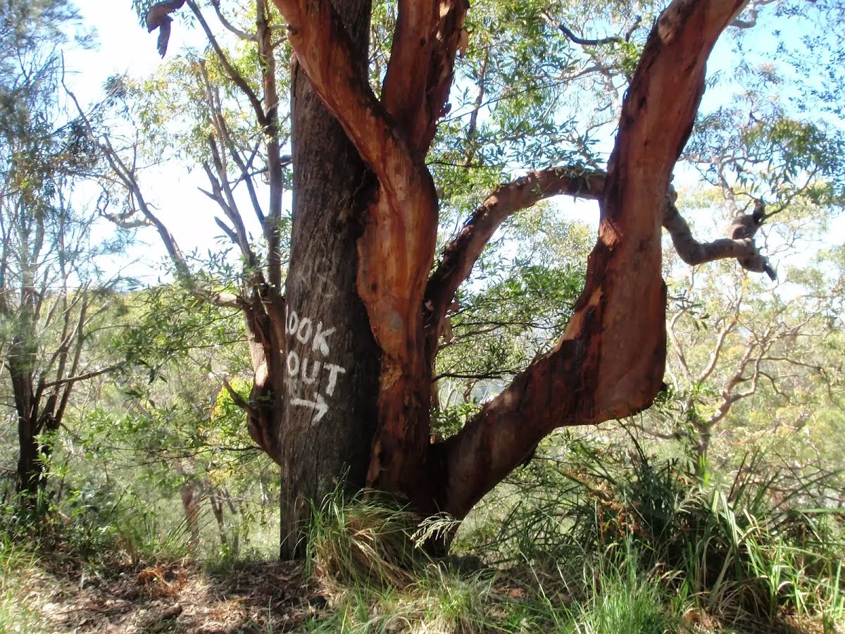
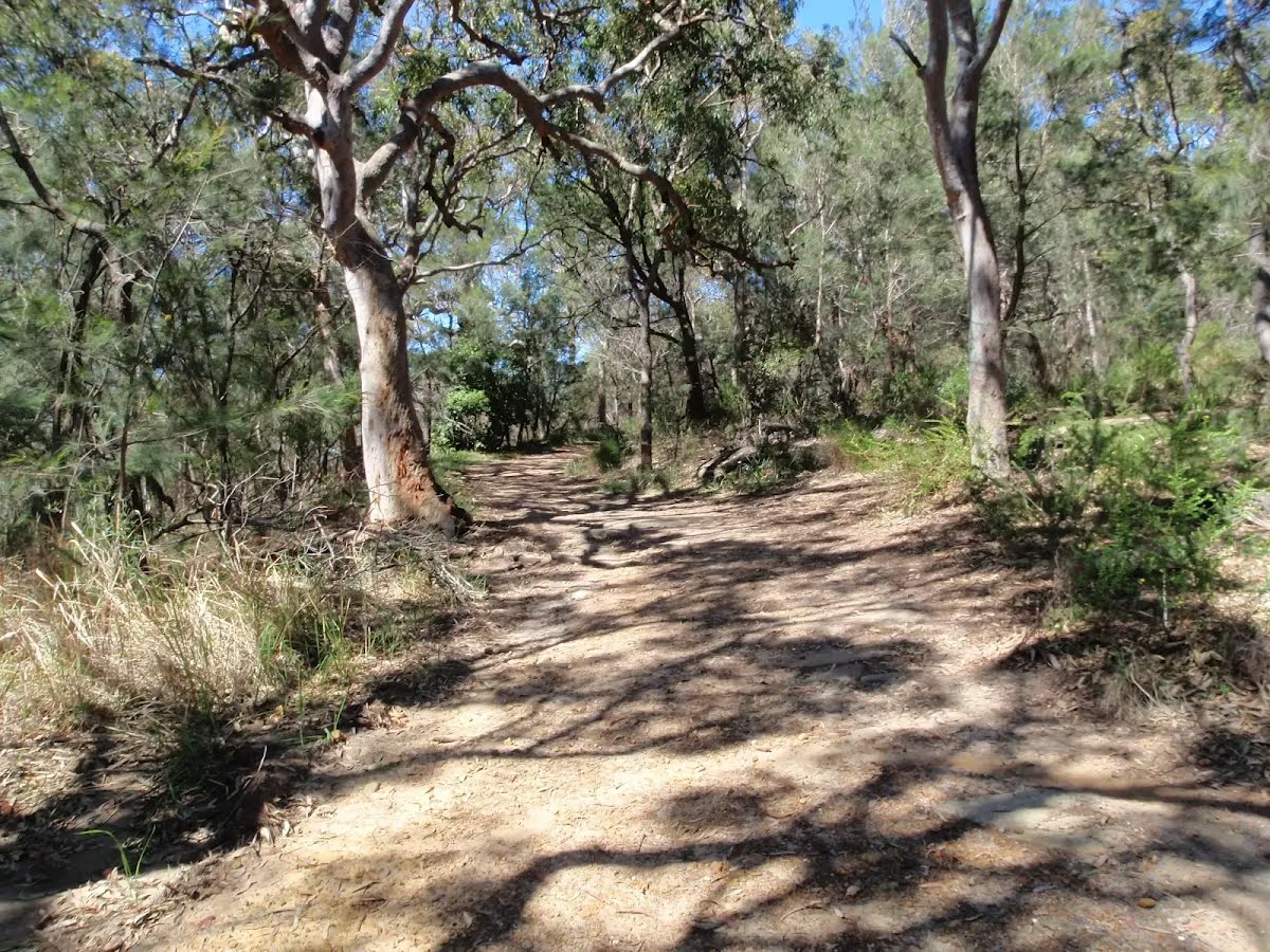
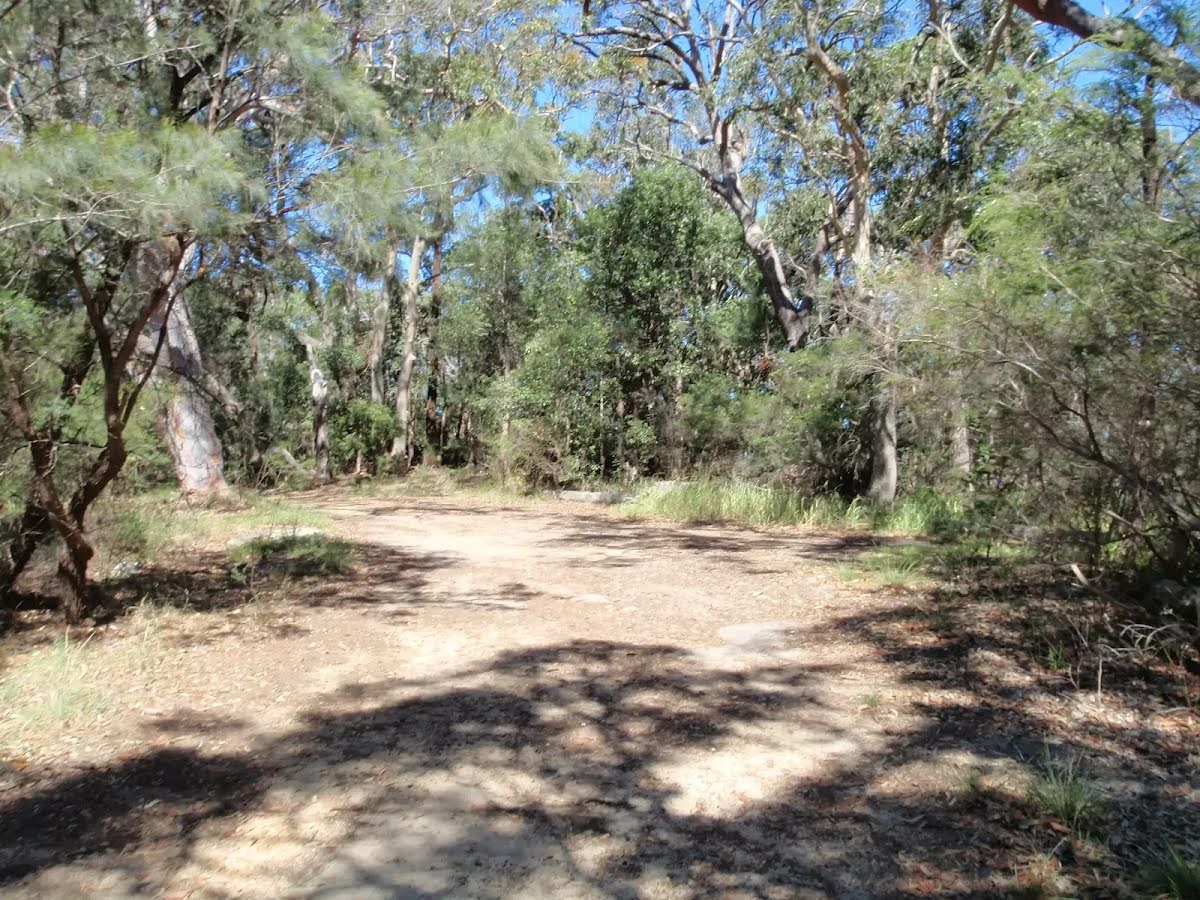
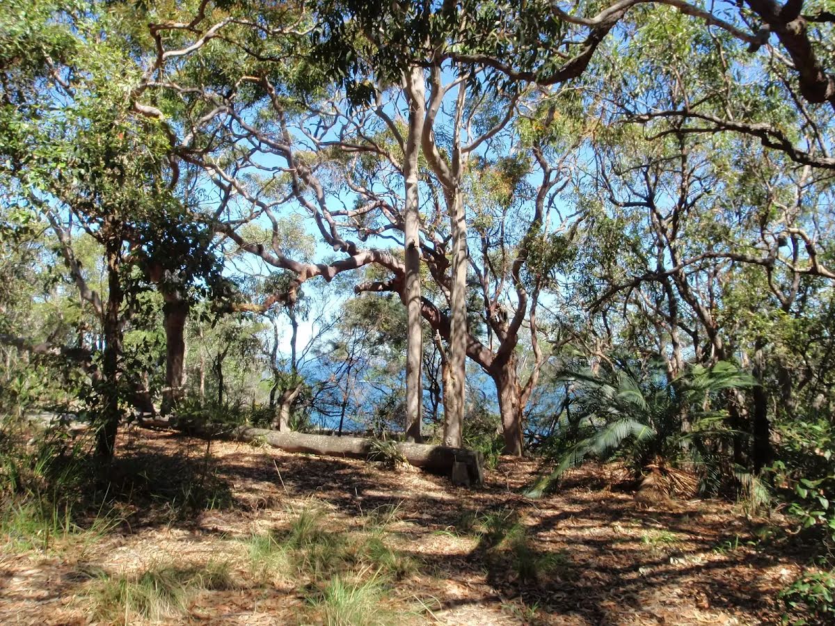
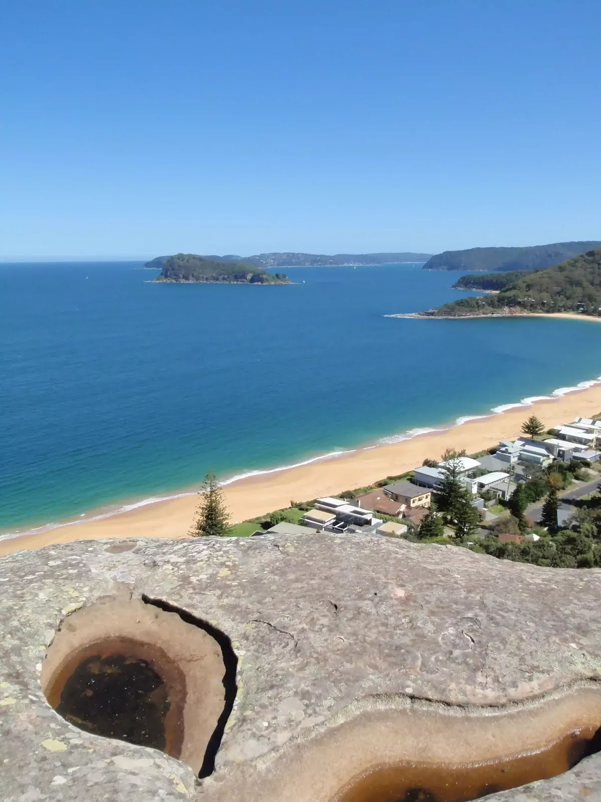
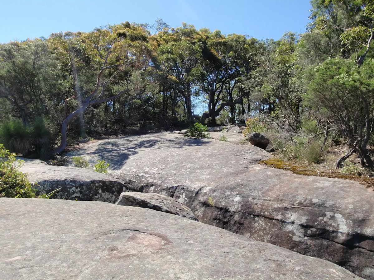
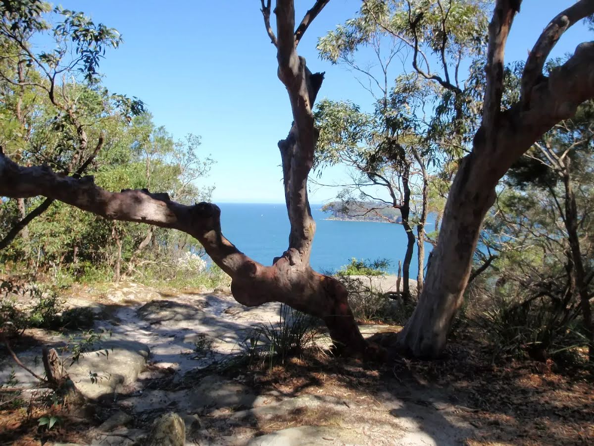
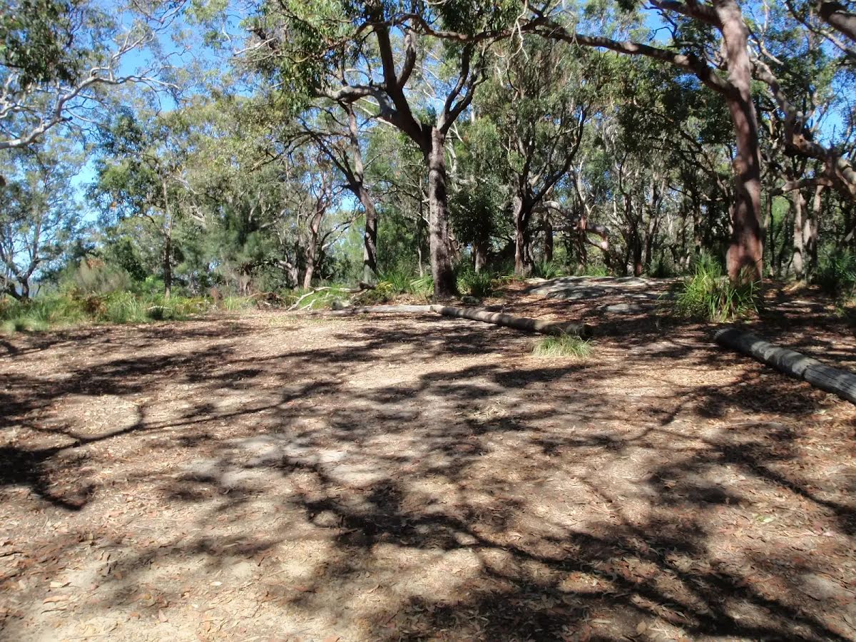
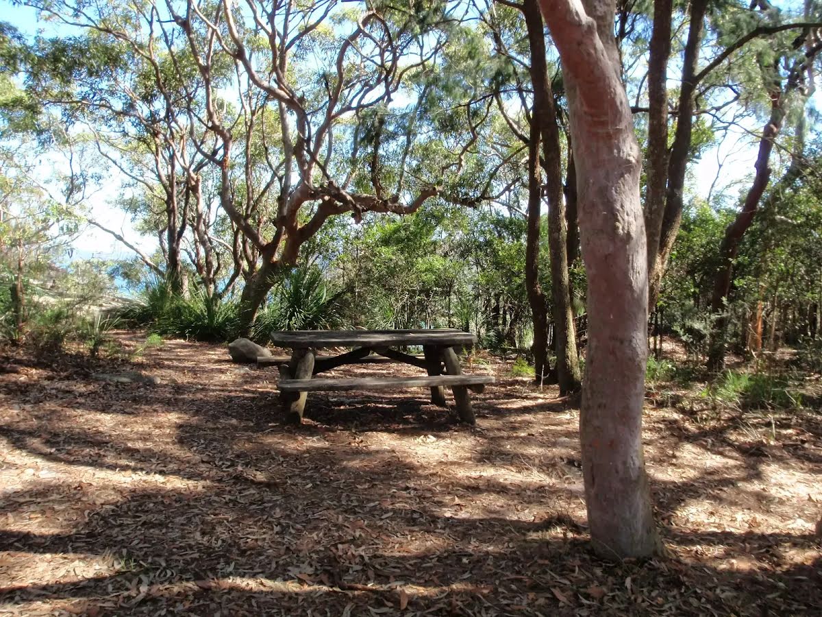
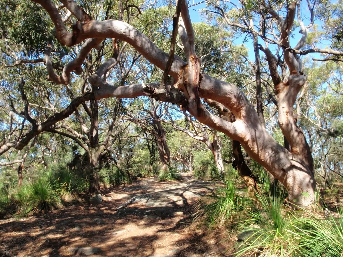
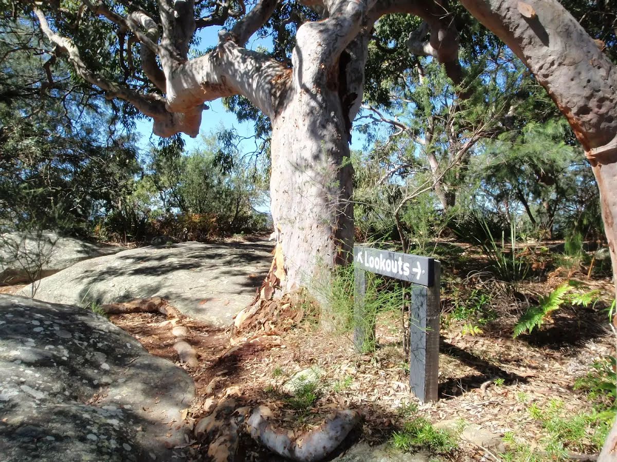
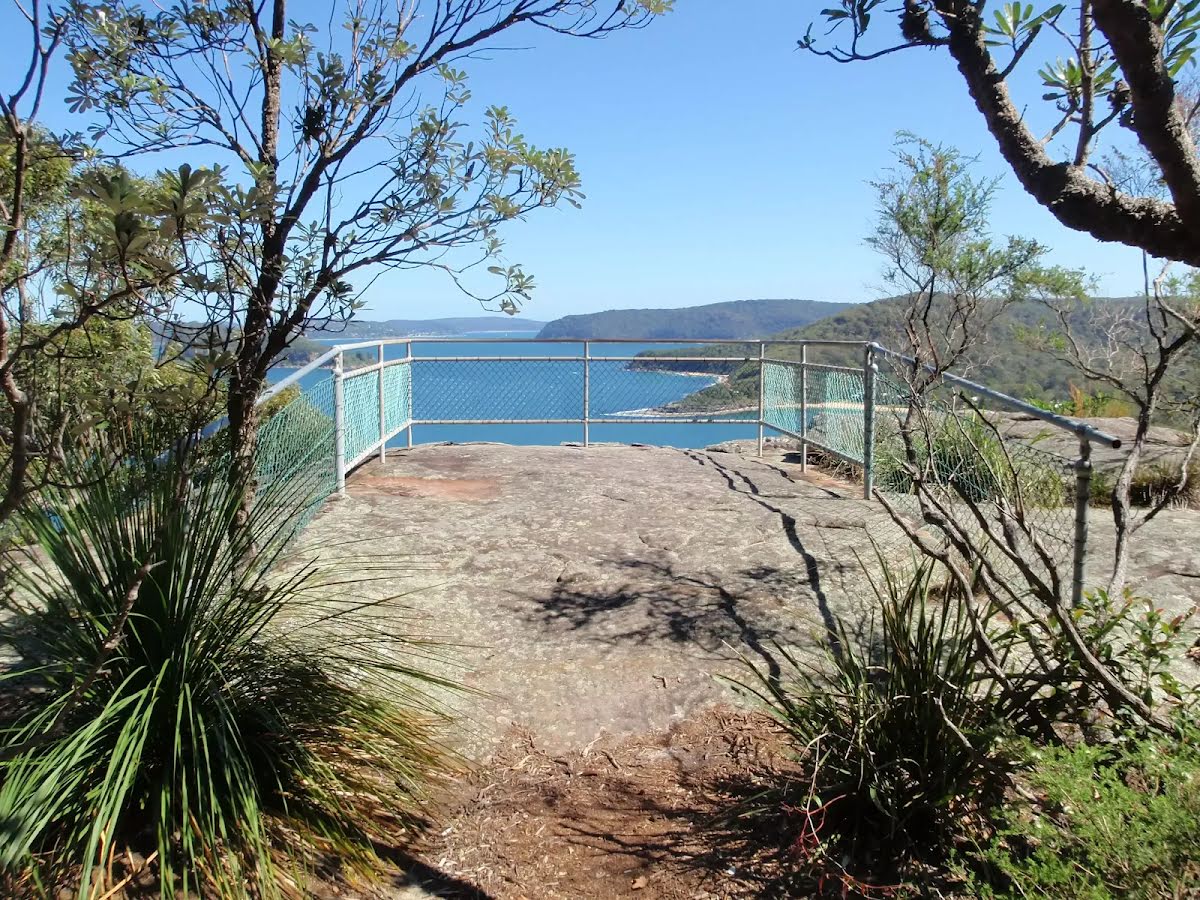
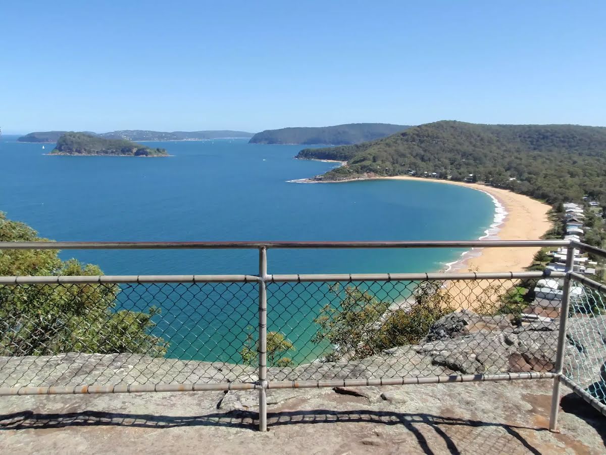
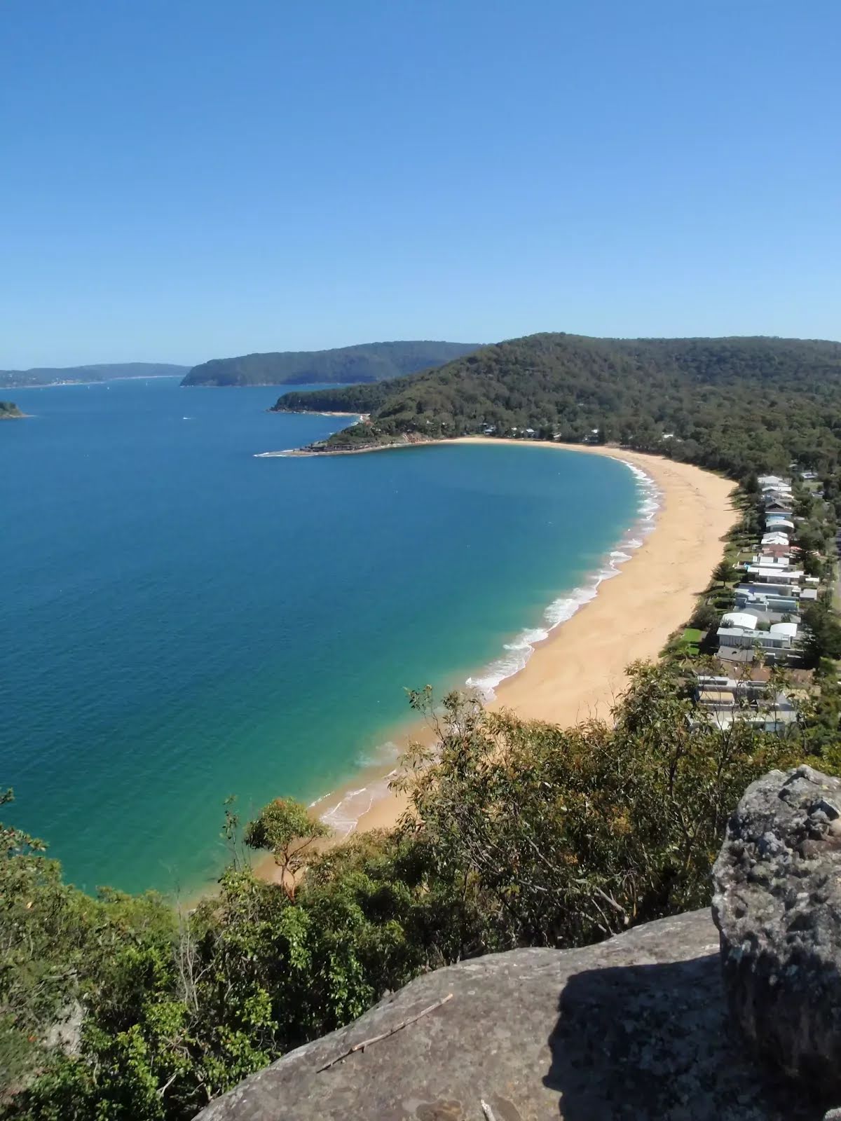
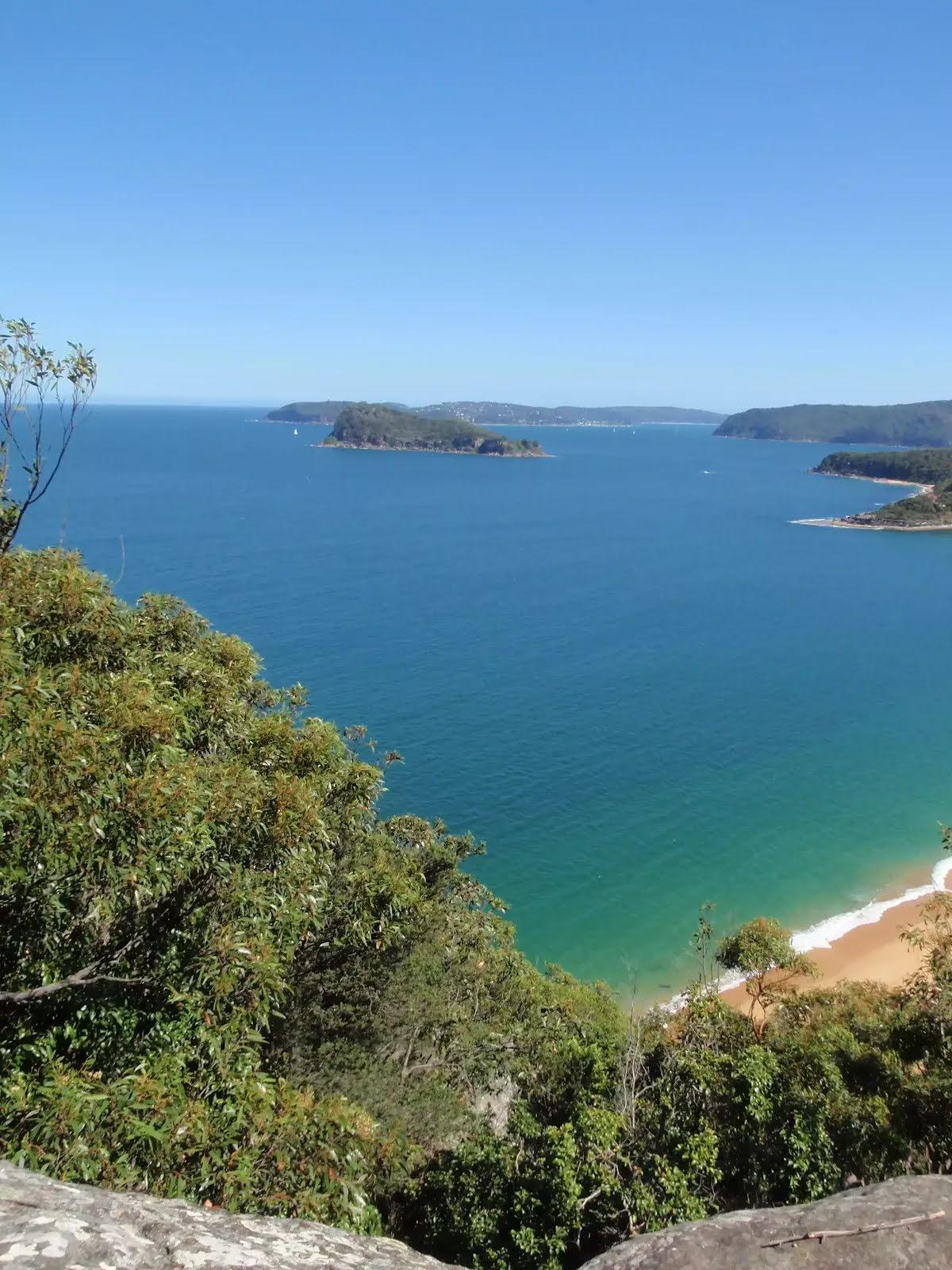
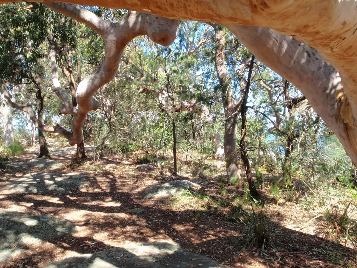
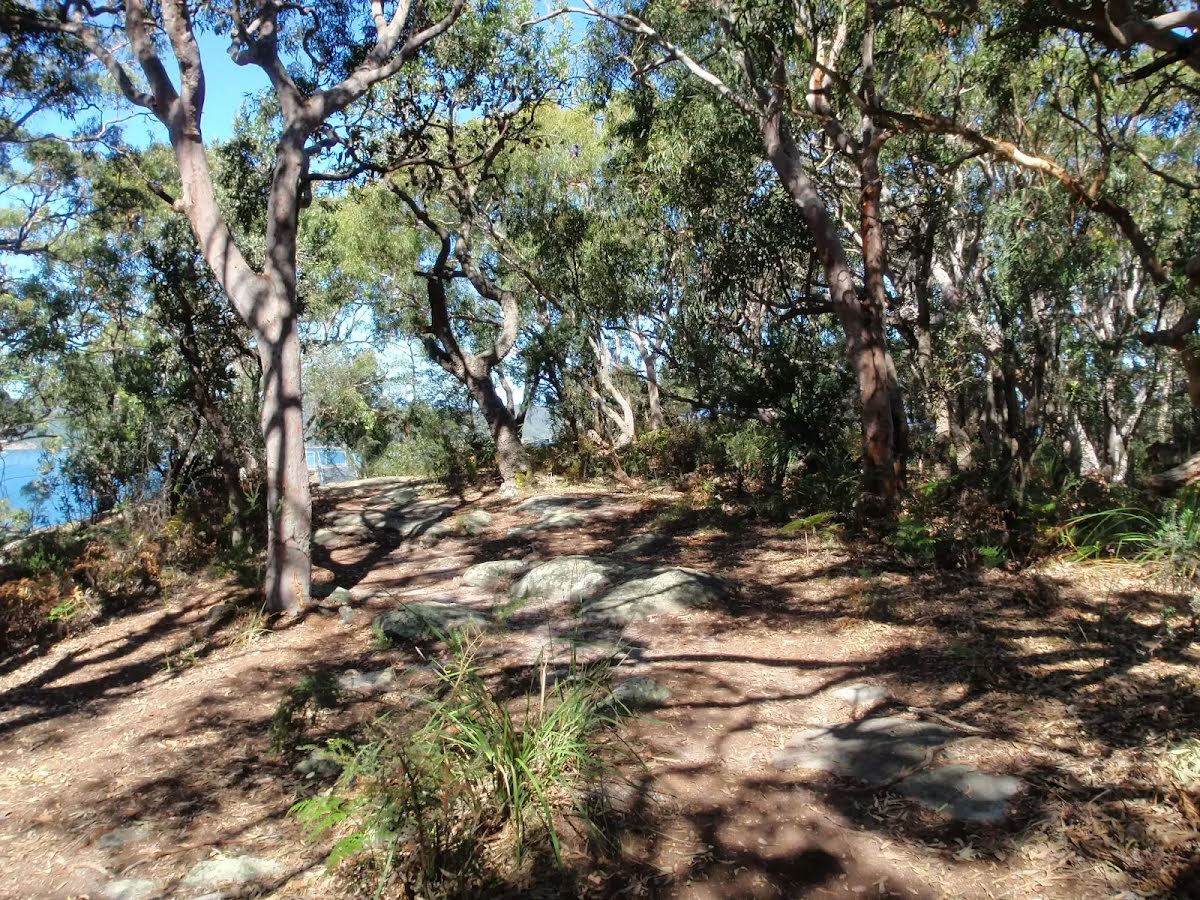
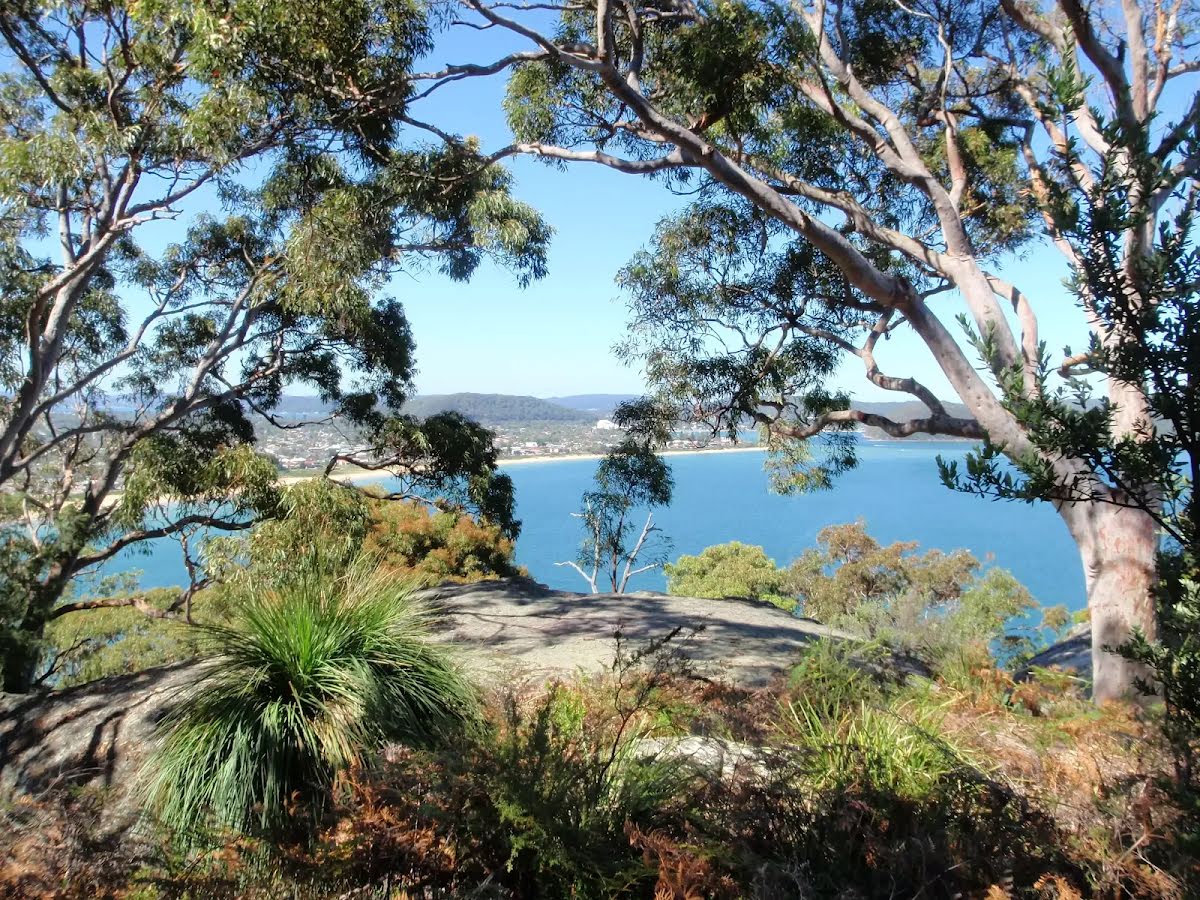
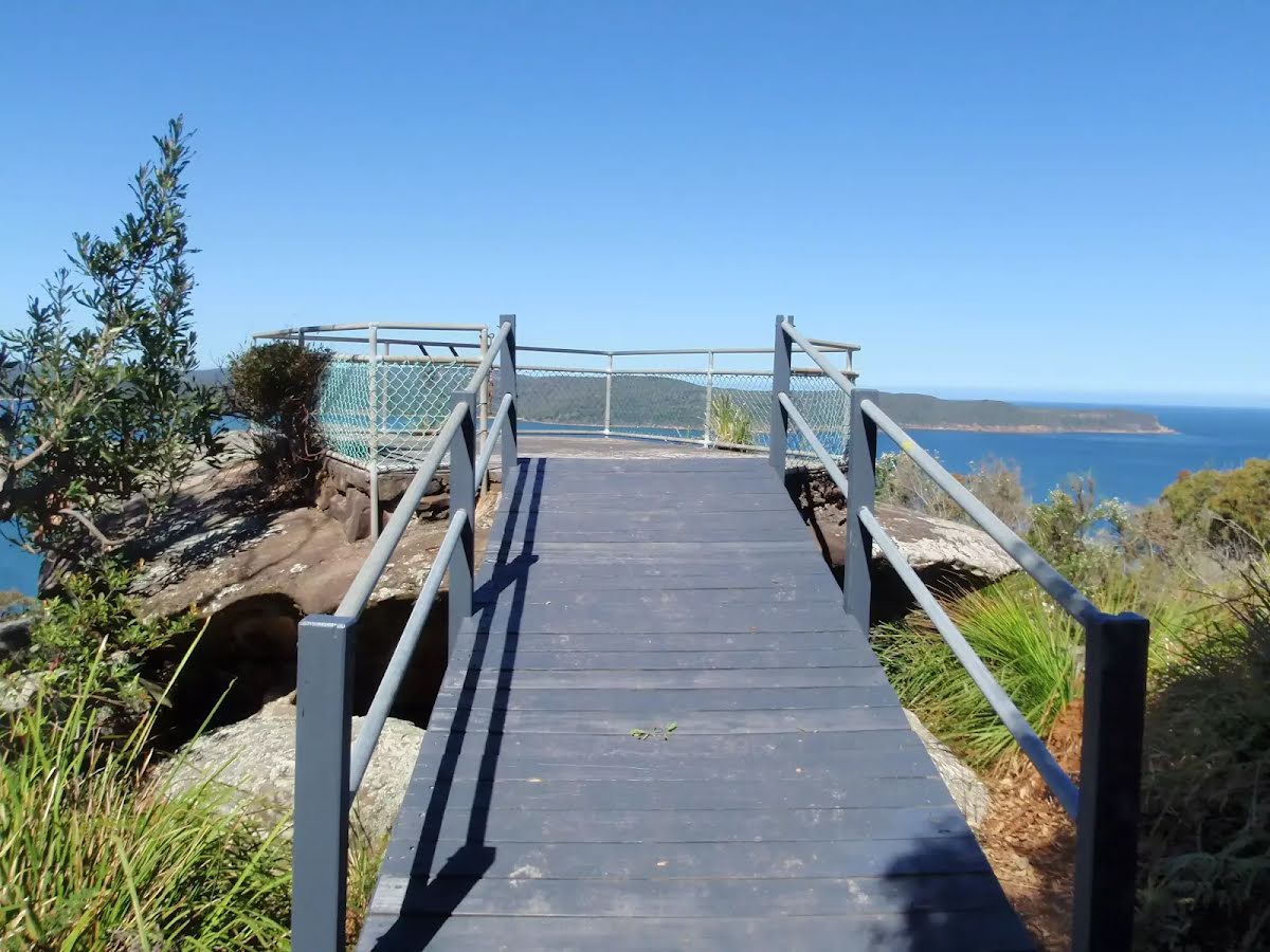
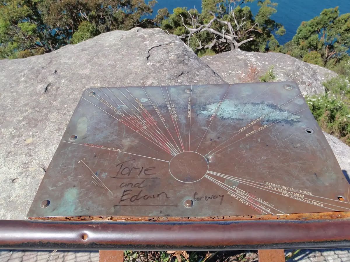
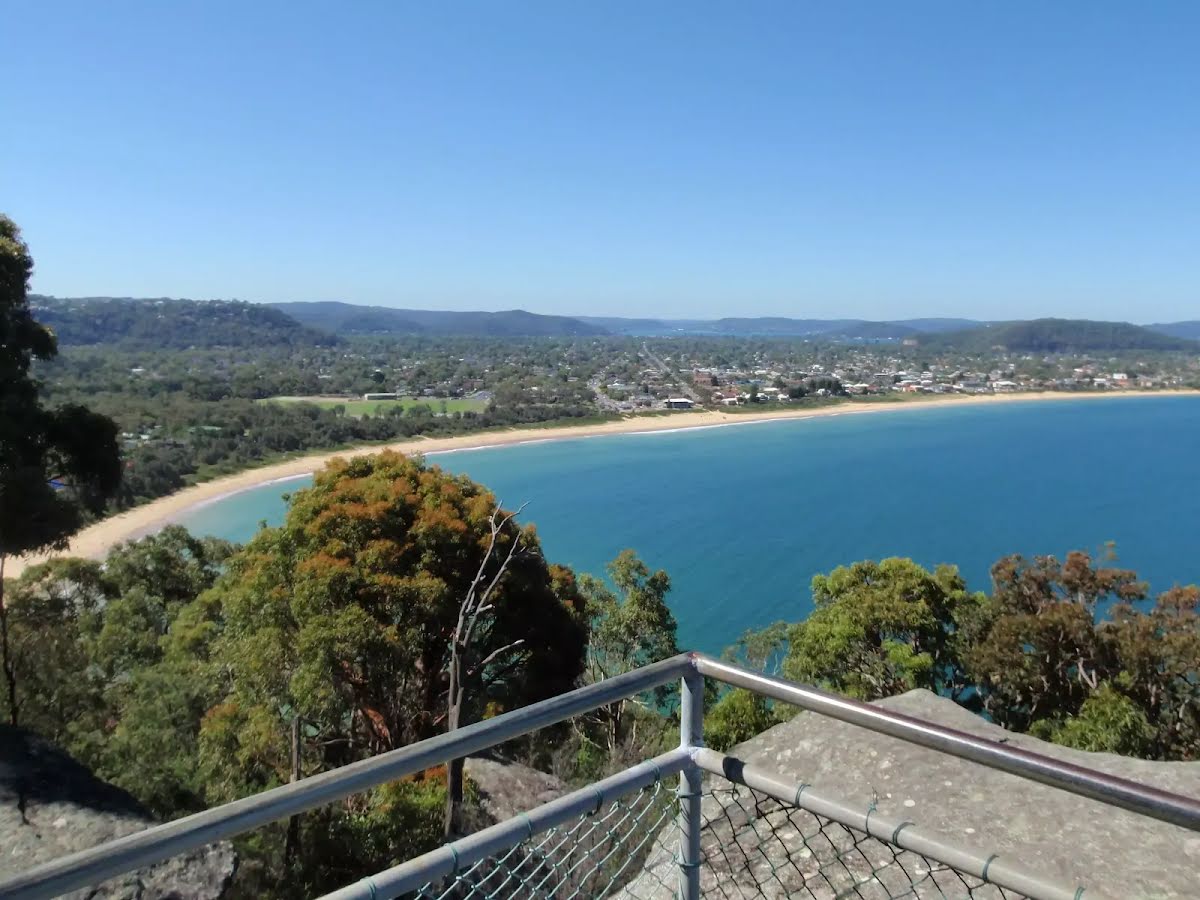
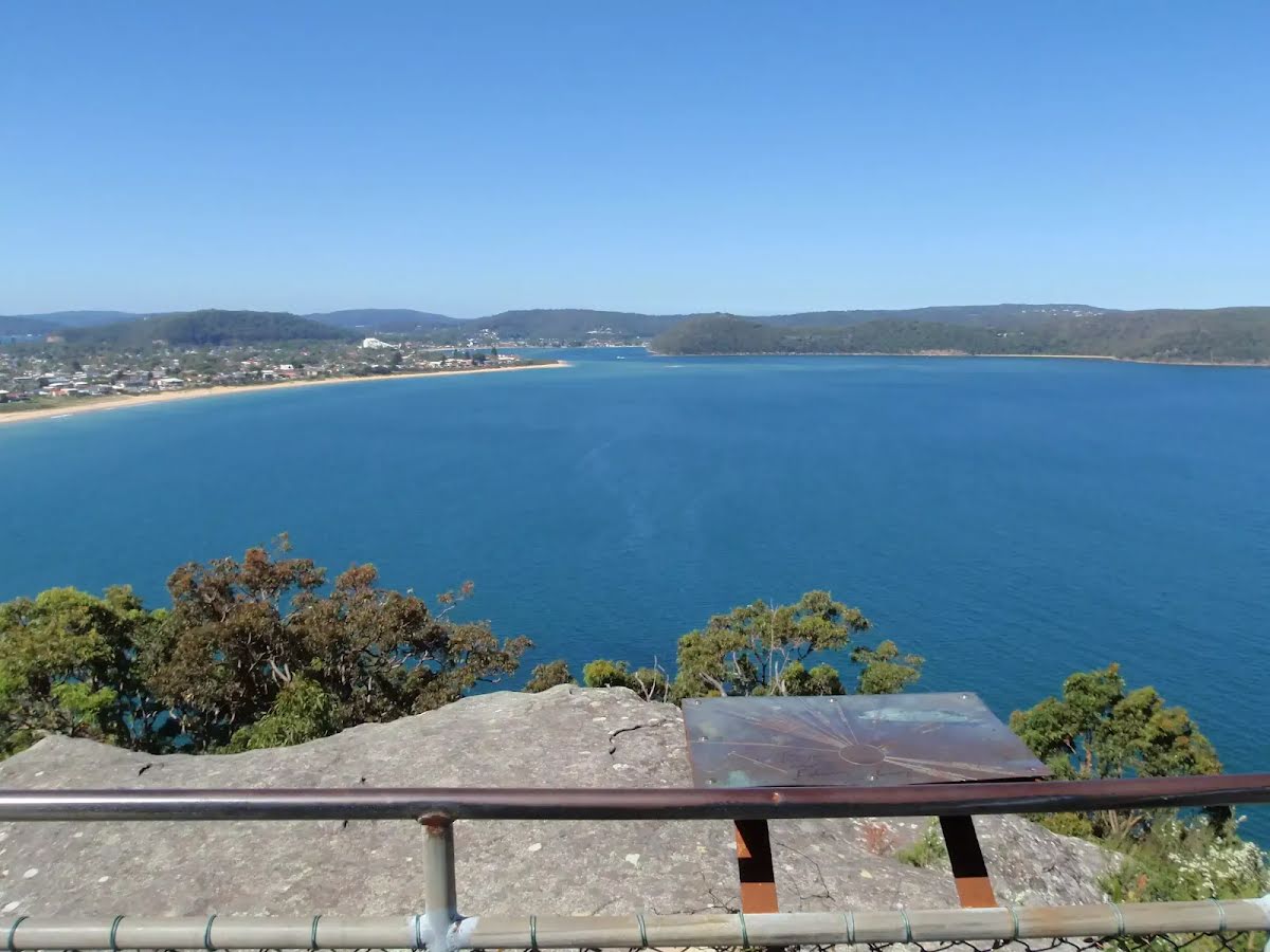
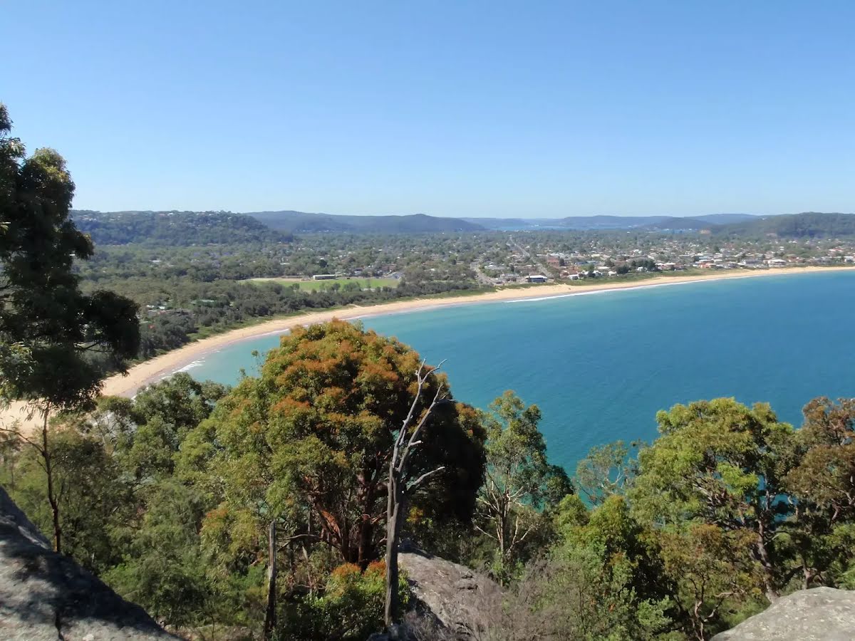
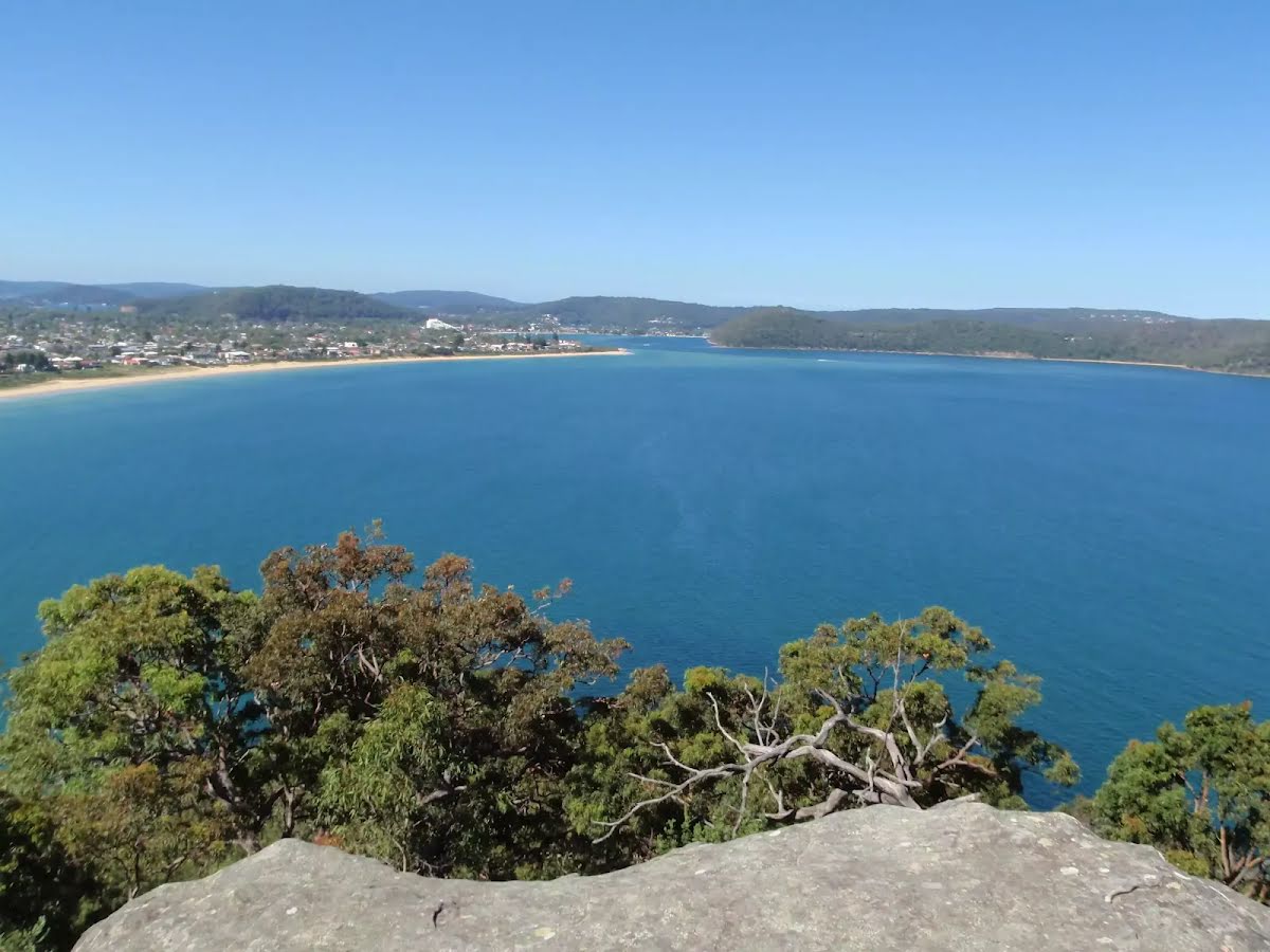
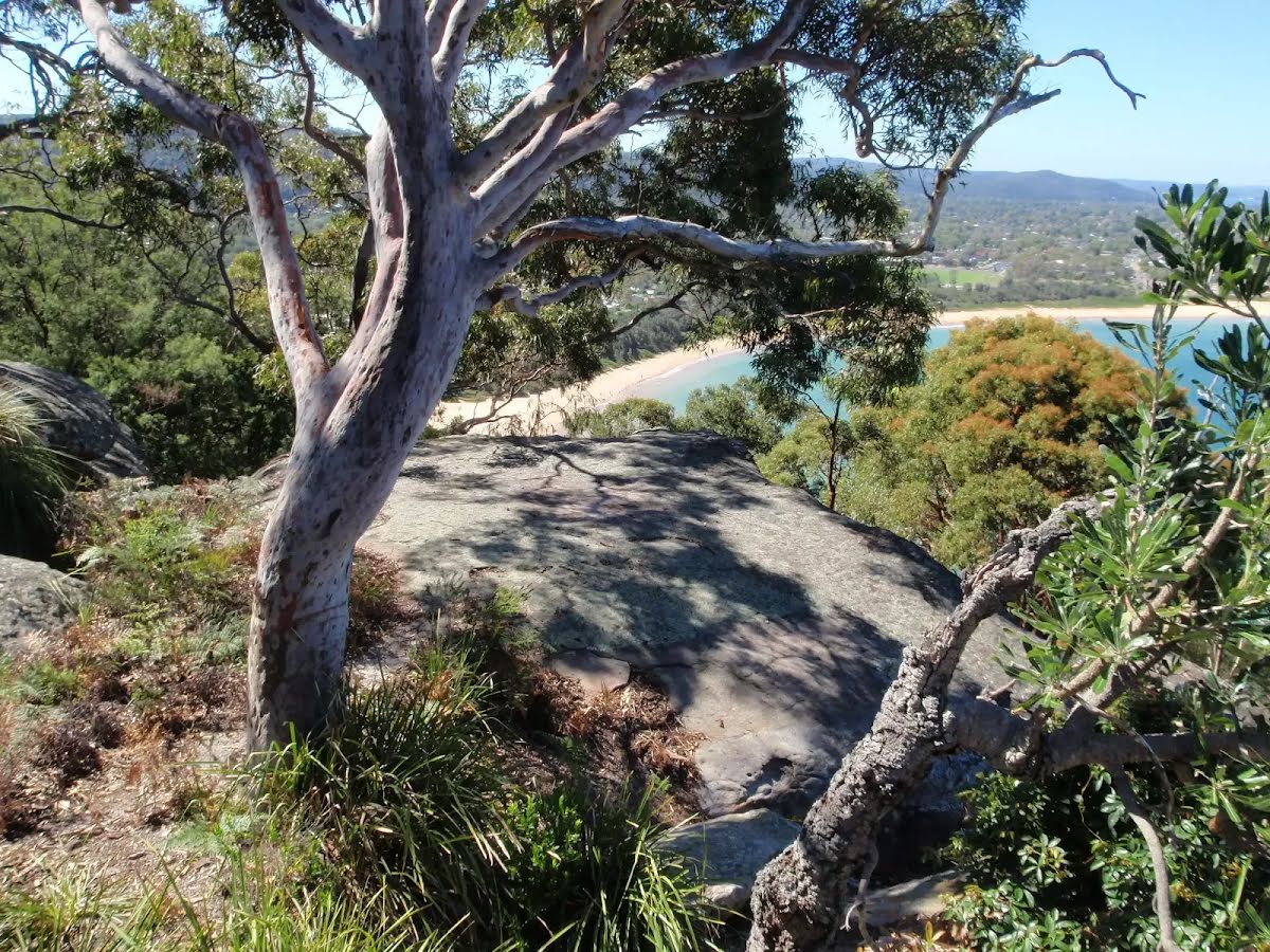
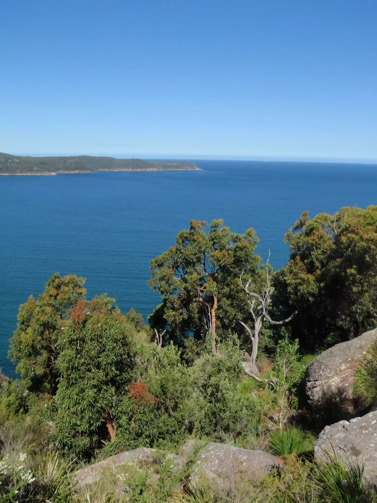
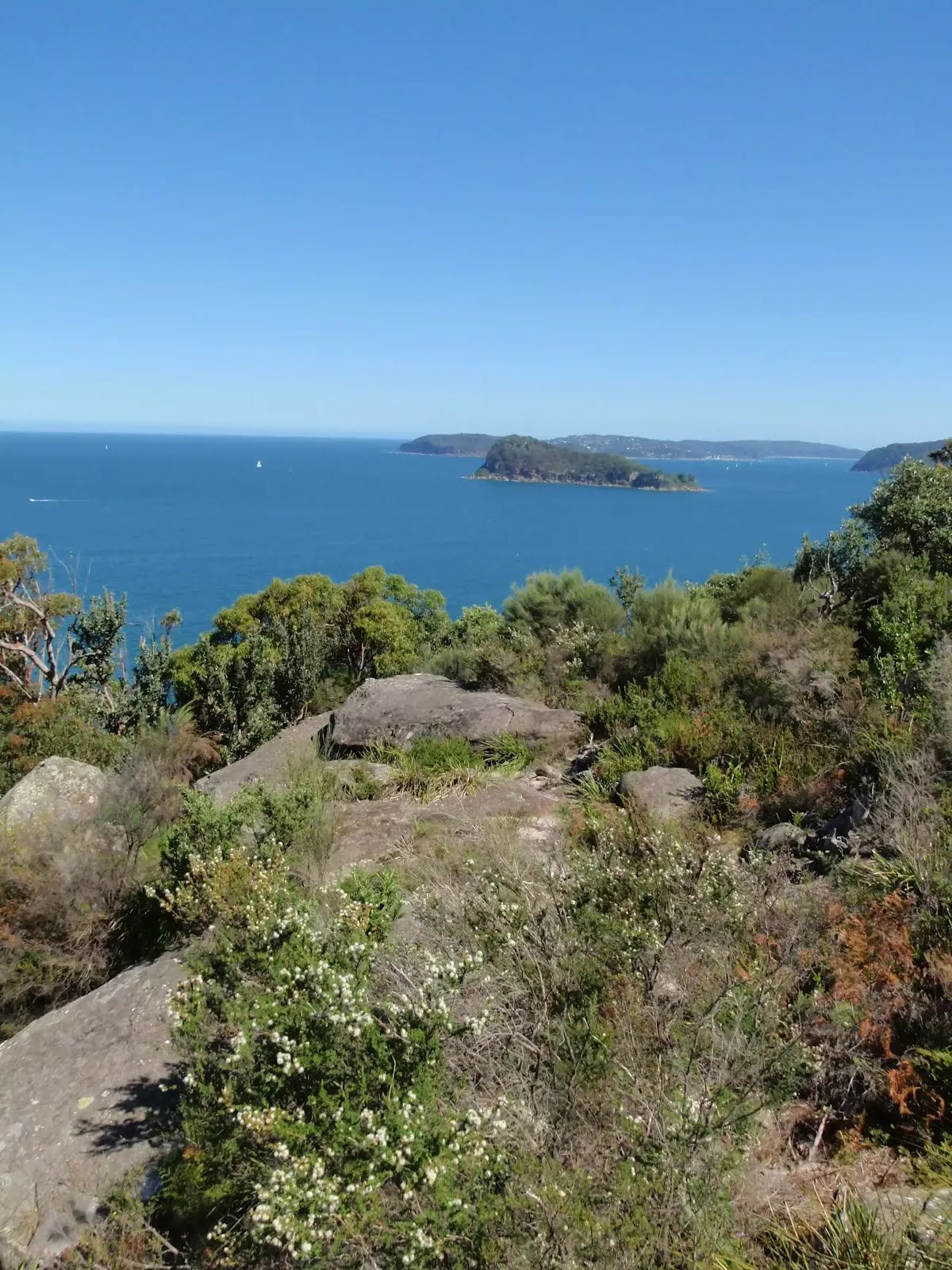
This lovely short walk takes you from the large water tank, along an old trail and track to two fantastic fenced lookout platforms. There are a few unfenced views along this shaded walk. A picnic table among the Sydney Red Gums, just before the two main lookouts, makes a wonderful spot for a snack. The lookouts provide great views over Umina Beach, Brisbane Water, Bouddi National Park, Pearl Beach and out to the ocean. A great spot on a sunny day or for a sunset. Let us begin by acknowledging the Darkinjung & Guringai people, Traditional Custodians of the land on which we travel today, and pay our respects to their Elders past and present. 
Show all
Patonga Drive from car park. | Photo by admin, 2009.
Water tank. | Photo by admin, 2009.
Locked gate at the car park. | Photo by admin, 2009.
One of several painted lookout signs. | Photo by admin, 2009.
Old management trail. | Photo by admin, 2009.
Walking along the trail. | Photo by admin, 2009.
Side track and filtered views. | Photo by admin, 2009.
An unfenced informal view over Pearl Beach. | Photo by admin, 2009.
An unfenced rock slab beside the trail. | Photo by admin, 2009.
View from beside the trail. | Photo by admin, 2009.
End of the management trail. | Photo by admin, 2009.
Picnic table. | Photo by admin, 2009.
Angophora lanceolata Sydney Red Gum. | Photo by admin, 2009.
Lookouts intersection. | Photo by admin, 2009.
Pearl Beach lookout. | Photo by admin, 2009.
View from Pearl Beach lookout. | Photo by admin, 2009.
Looking over Pearl Beach. | Photo by admin, 2009.
Out to Lion Island the ocean and the Pittwater. | Photo by admin, 2009.
Ducking under the Sydney Red Gum. | Photo by admin, 2009.
Following the track at the top of the ridge. | Photo by admin, 2009.
View just near Mt Ettalong Lookout. | Photo by admin, 2009.
ramp to Mt Ettalong Lookout. | Photo by admin, 2009.
Compass plaque at Mt Ettalong Lookout. | Photo by admin, 2009.
View along Umina Beach from Mt Ettalong Lookout. | Photo by admin, 2009.
Looking up the Brisbane water from Mt Ettalong. | Photo by admin, 2009.
Umina Beach. | Photo by admin, 2009.
Brisbane Water. | Photo by admin, 2009.
Rock outcrop next to lookout. | Photo by admin, 2009.
Lookout past Box Head to the ocean. | Photo by admin, 2009.
Lion Island and Barrenjoey. | Photo by admin, 2009.
Map Notes Terrain Reviews Conditions More
Downloads GPX PDF

Some of the information and maps on this page was generated using data from the awesome © OpenStreetMap contributors.
Please see how you can embed some widgets, access data and other stuff to that might be helpful.