Gibraltar Peak

2 h 30 min to 3 h 45 min

8 km
return

↑ 404 m
↓ -404 m

Hard track
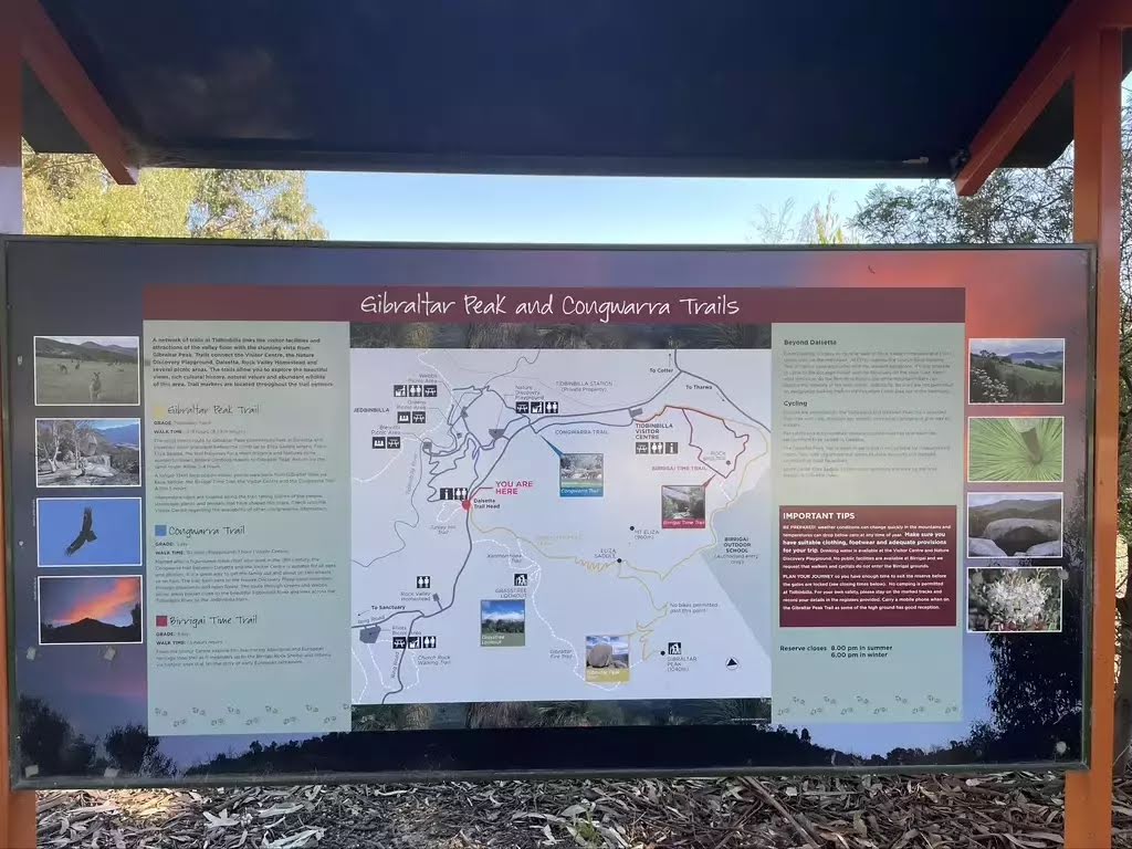
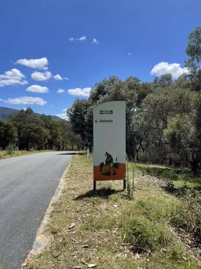
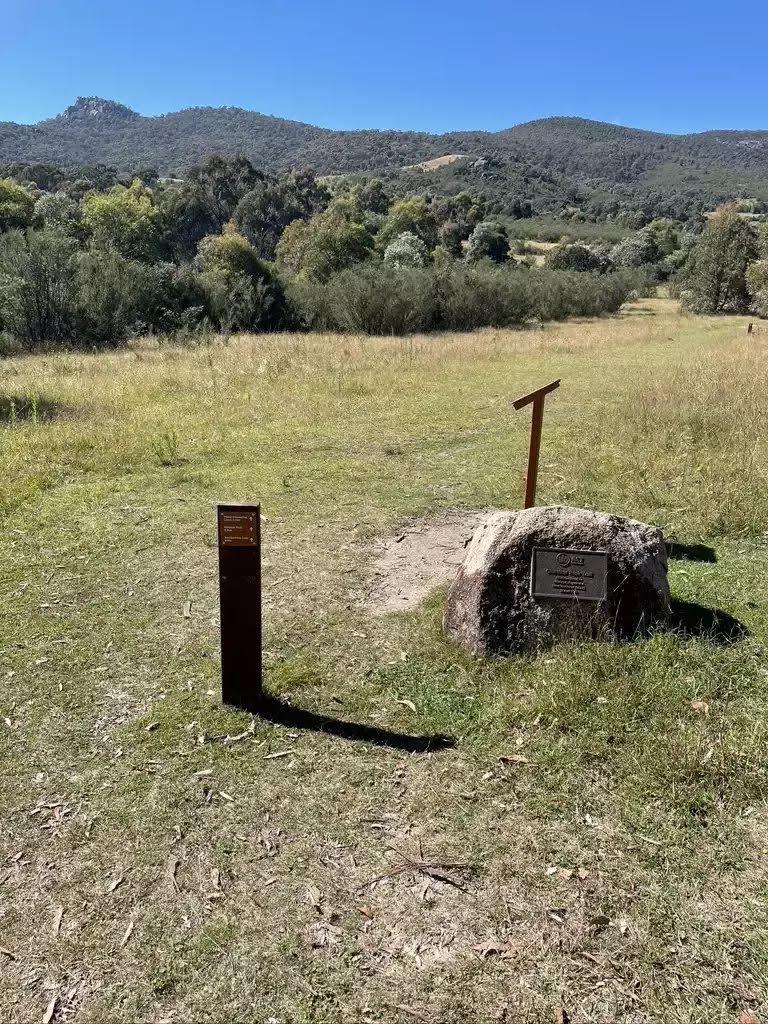
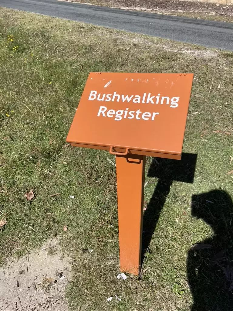
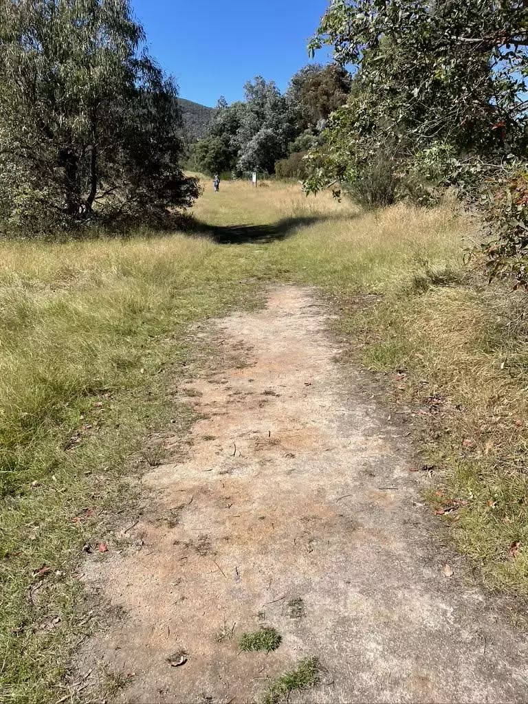
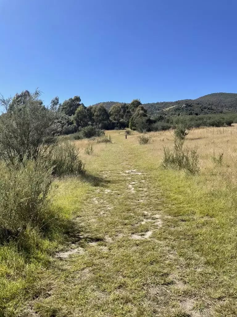
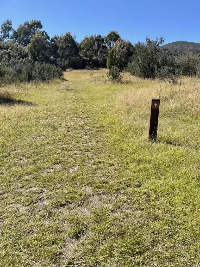
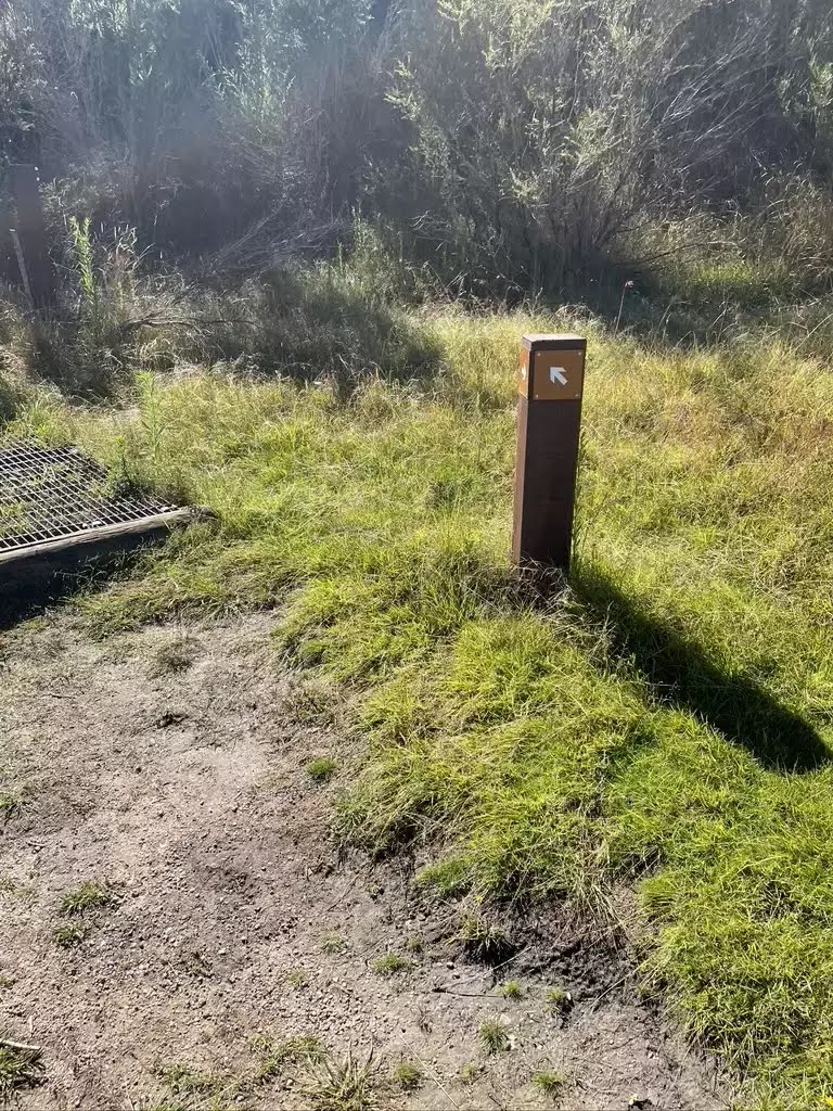
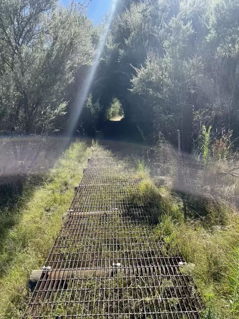
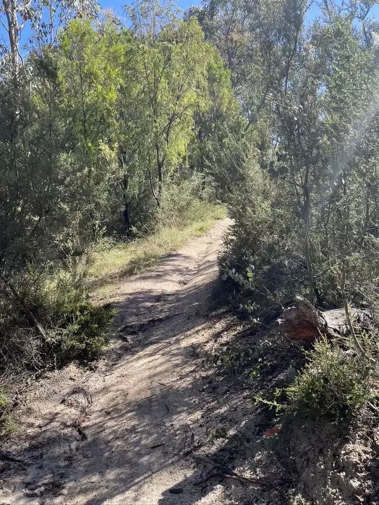
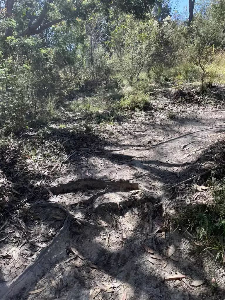
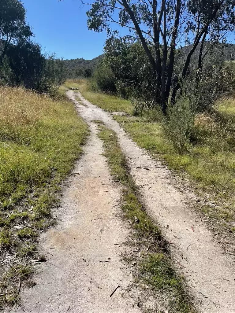
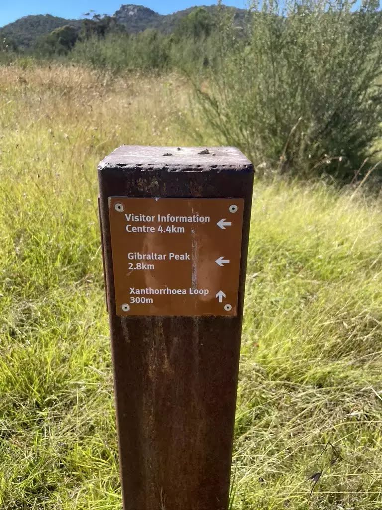
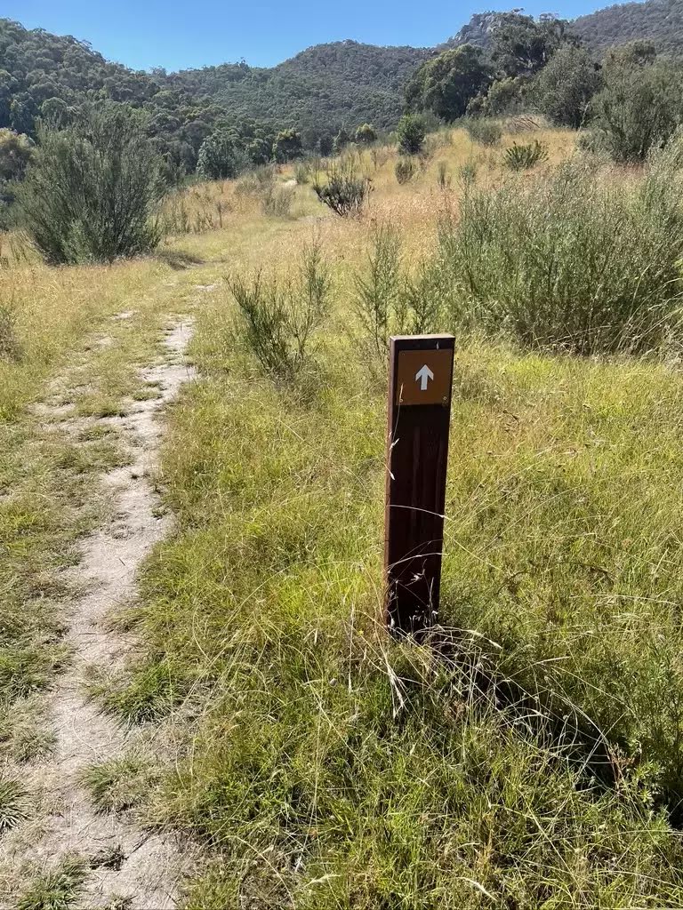
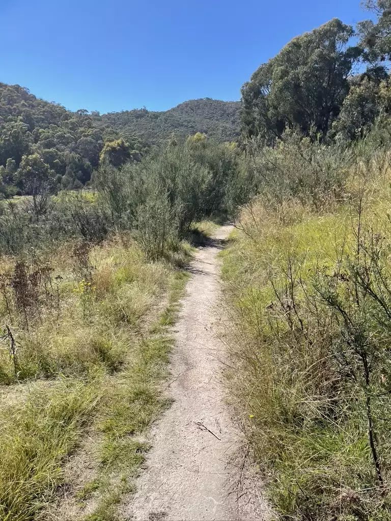
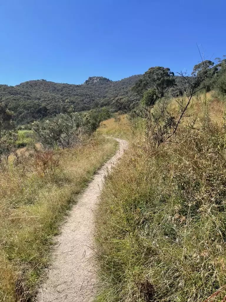
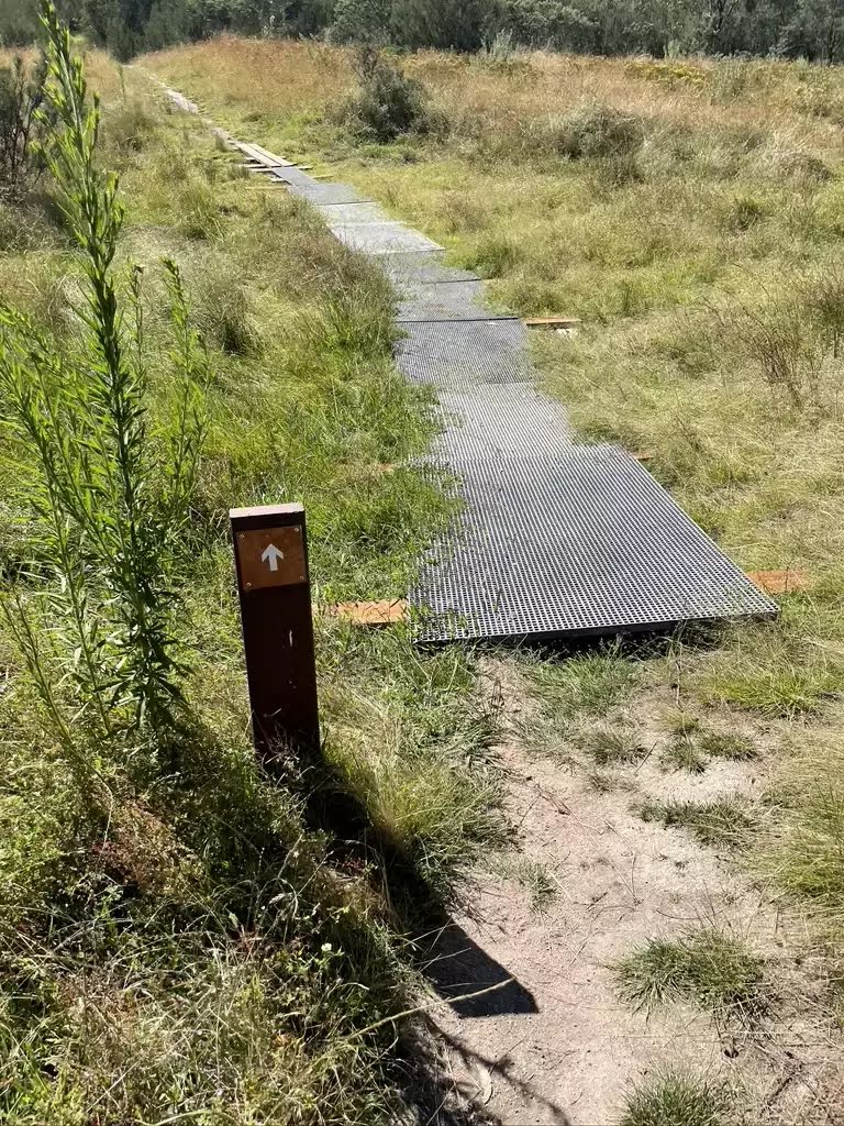
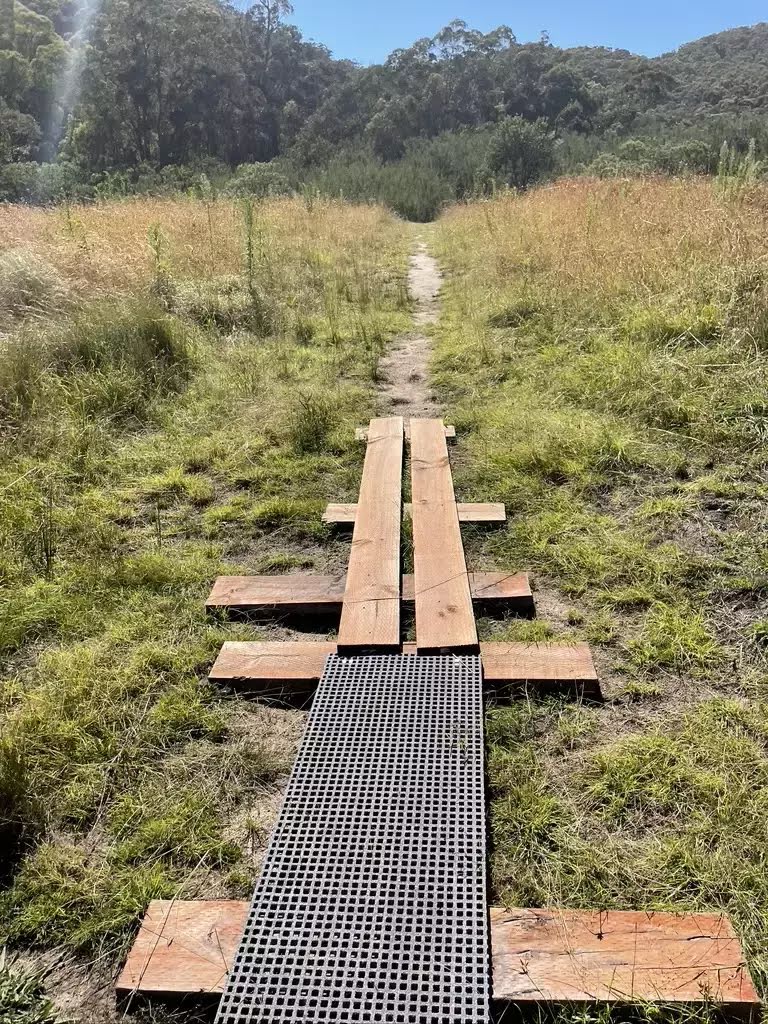
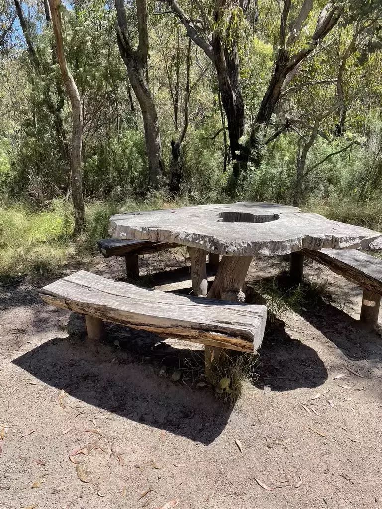
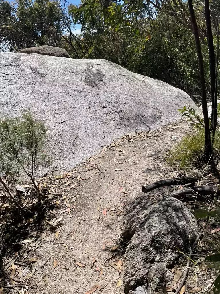
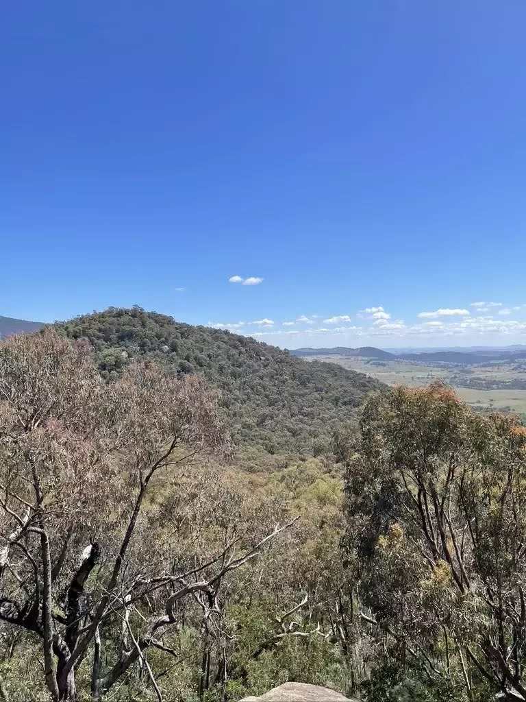
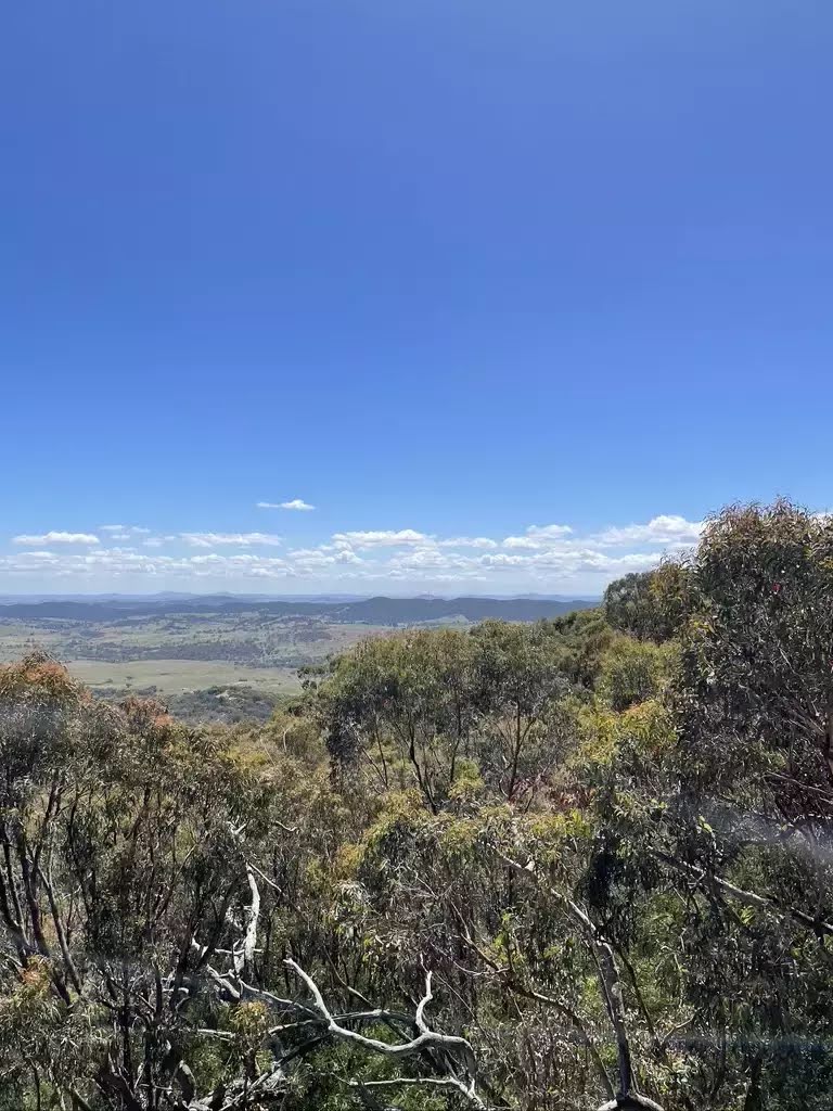
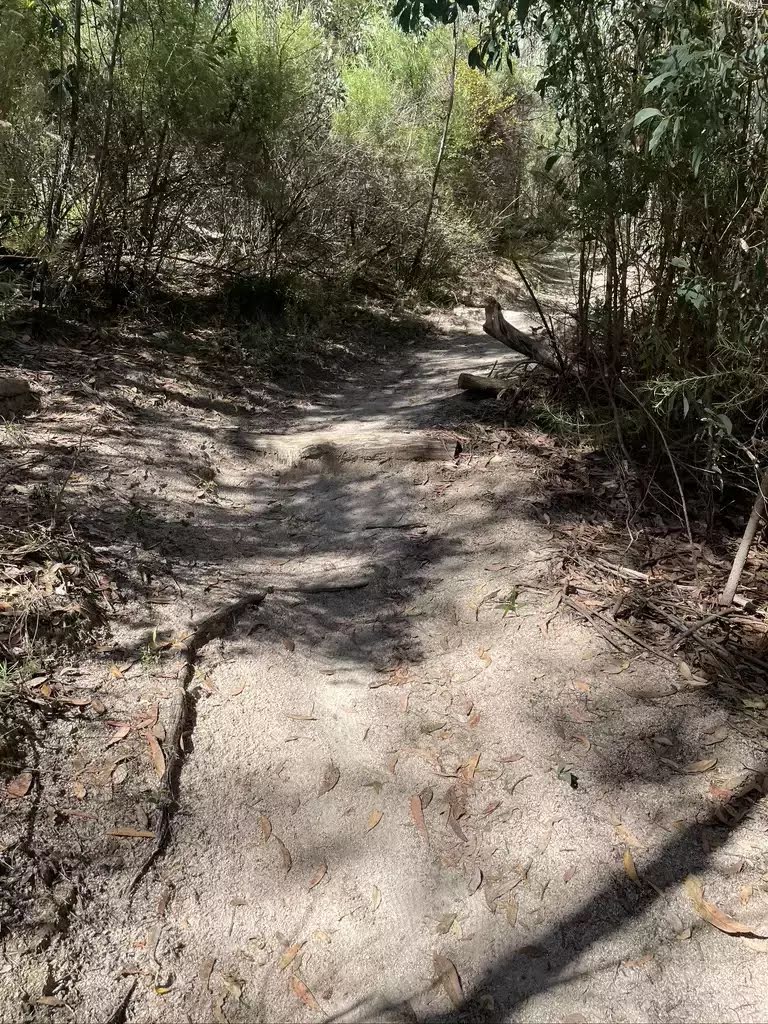
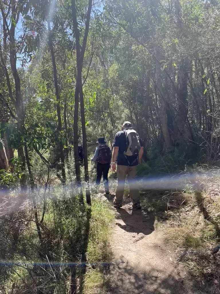
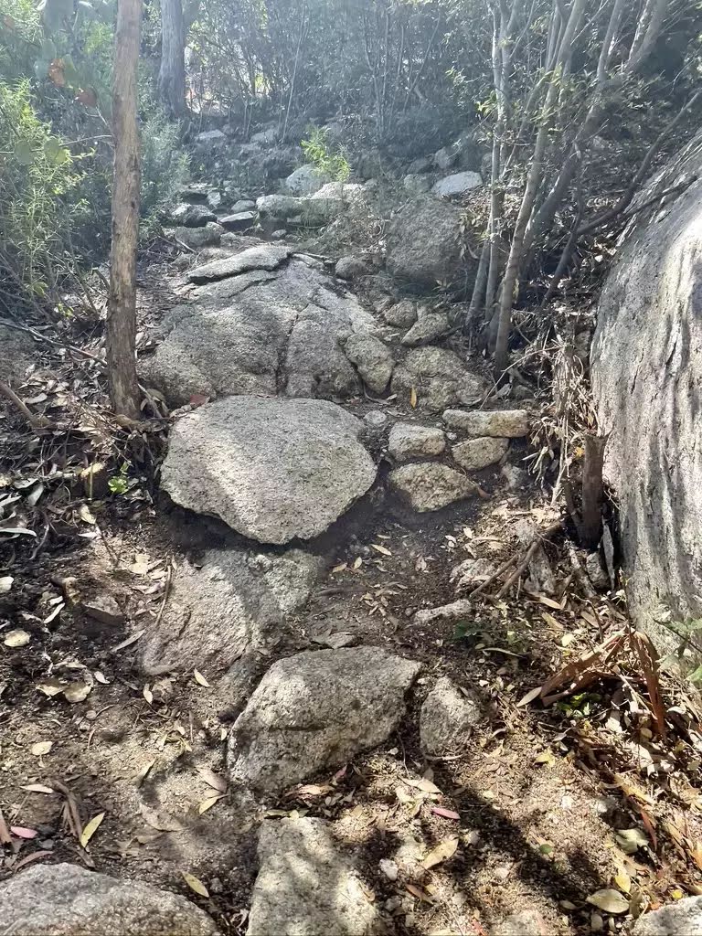
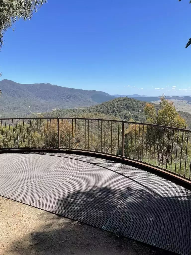
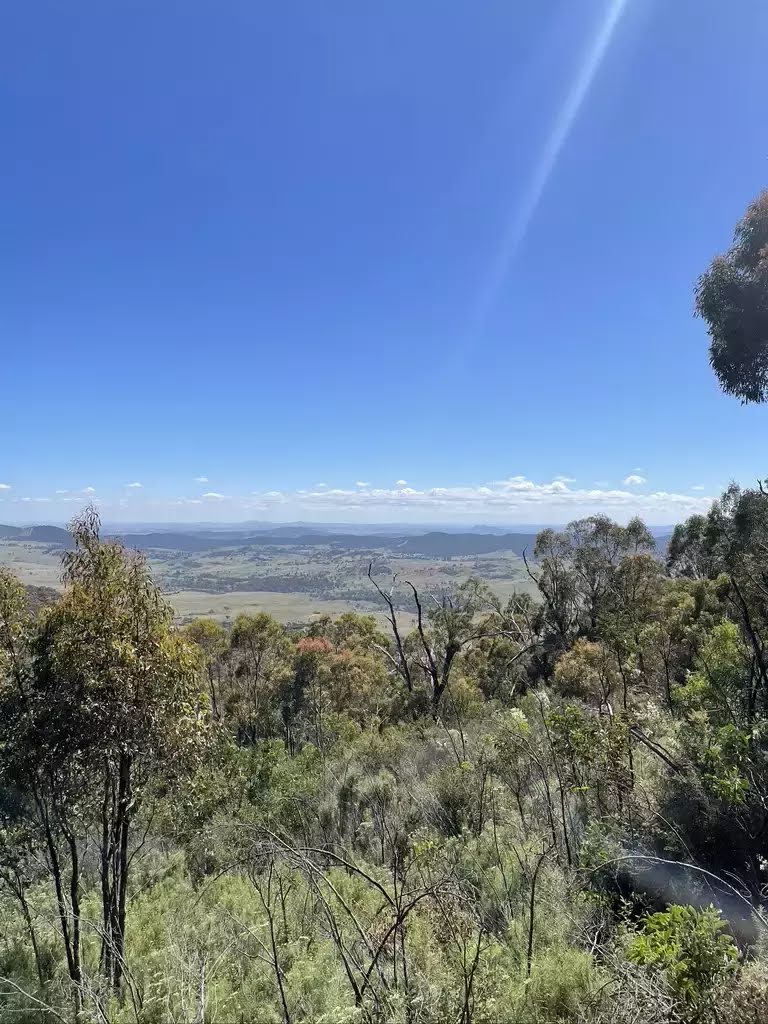
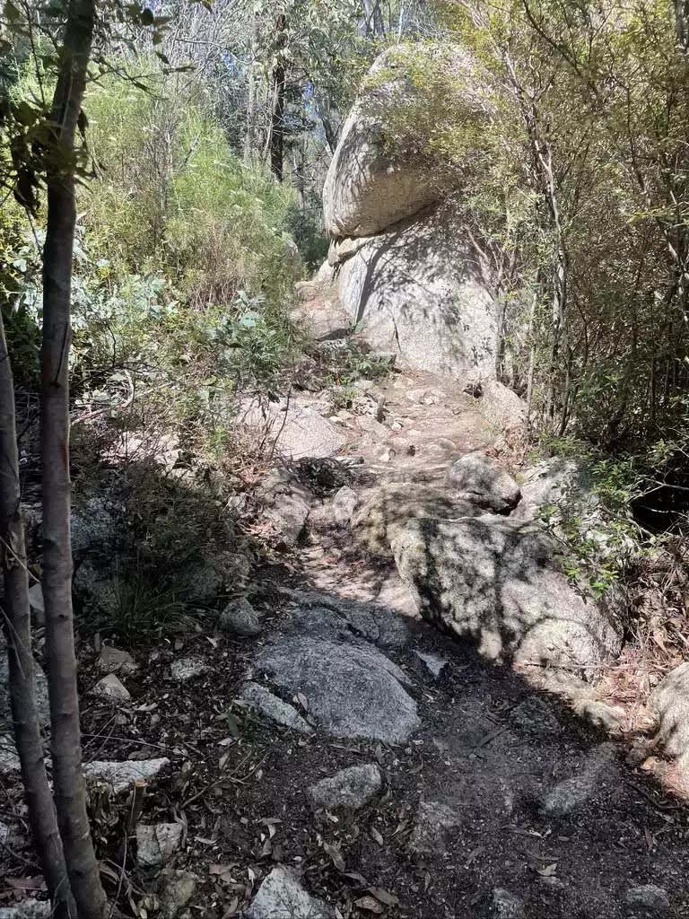
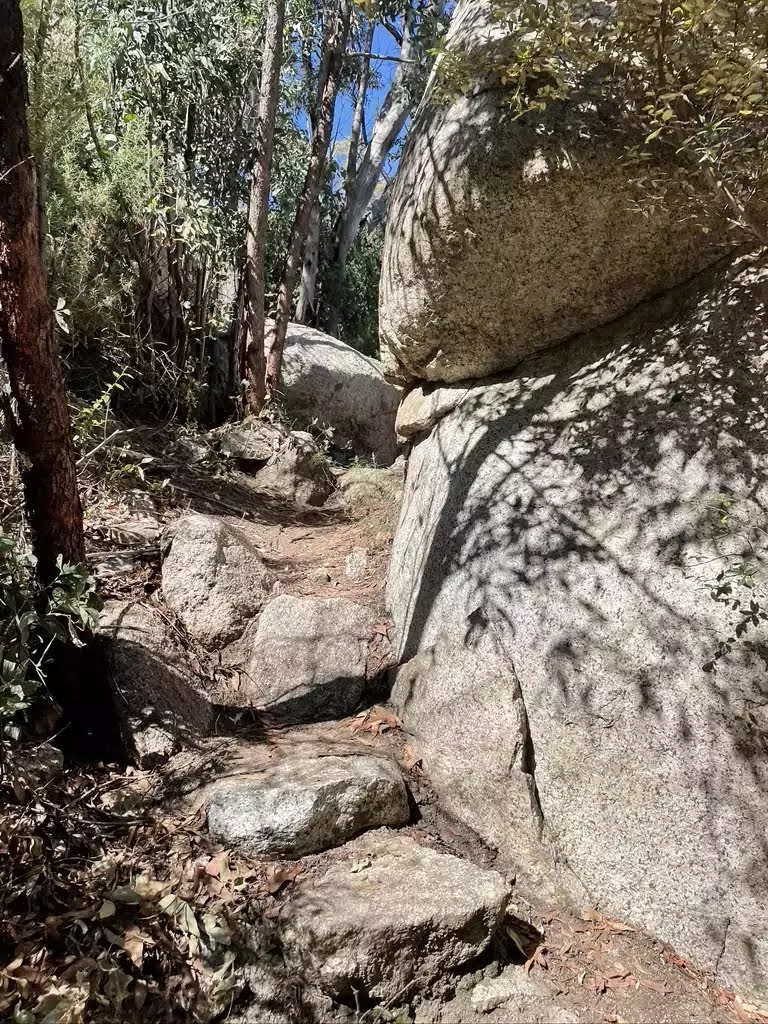
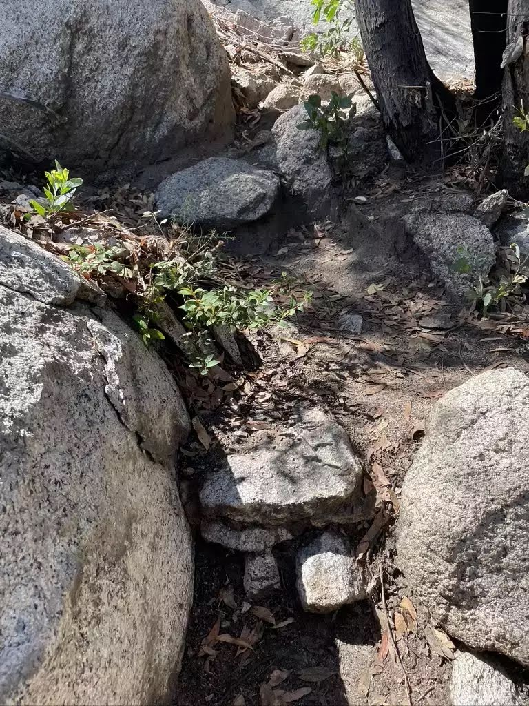
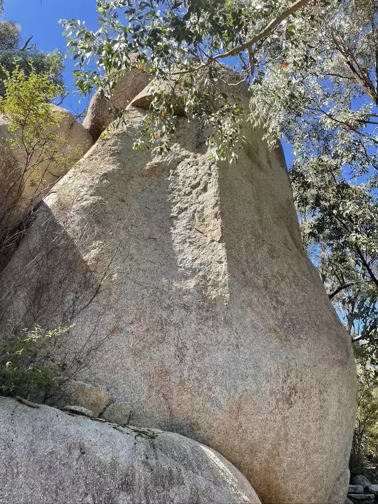
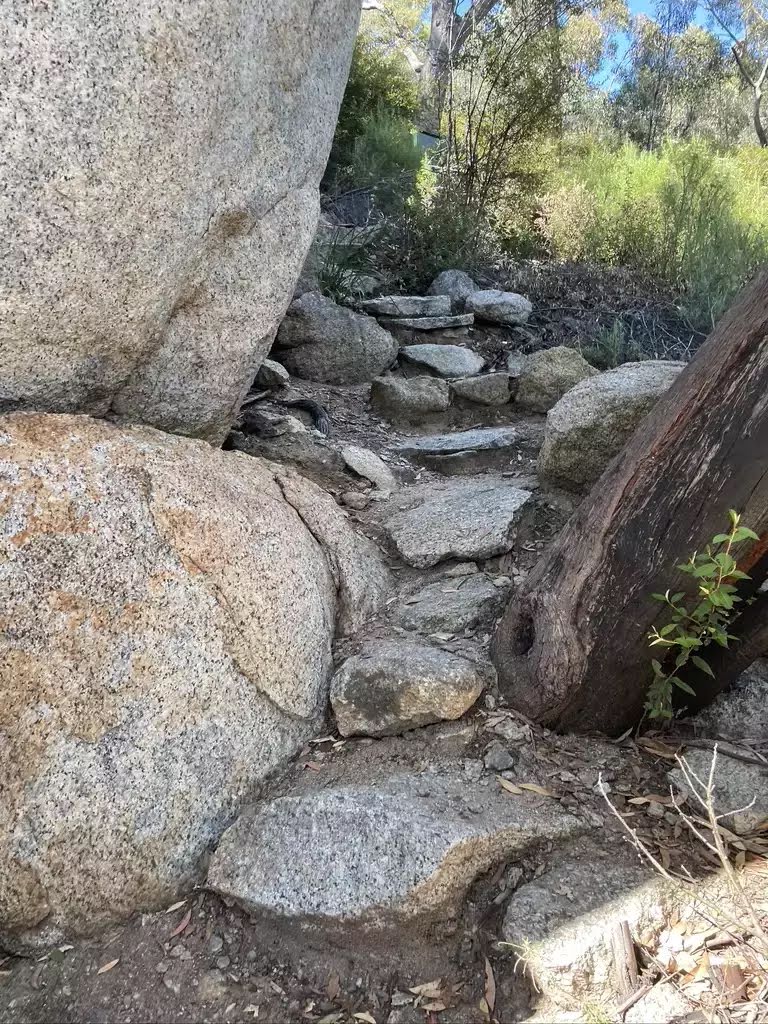
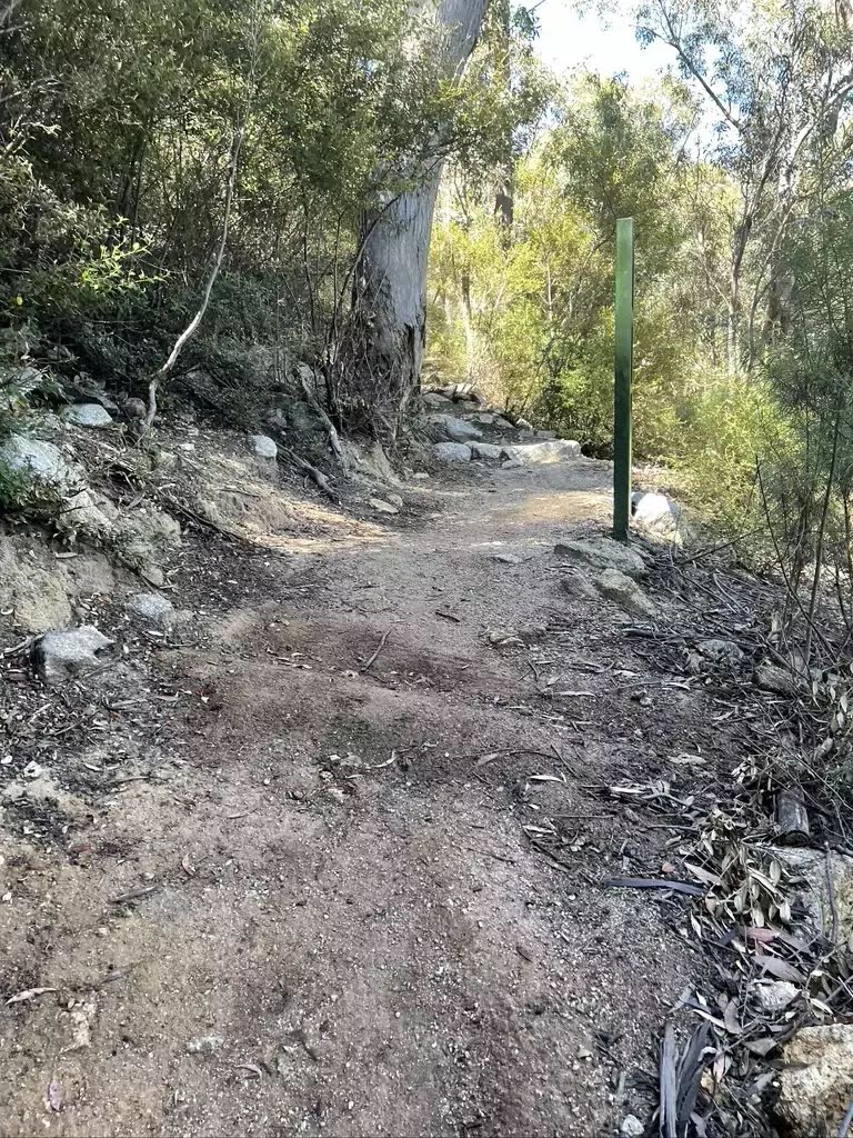
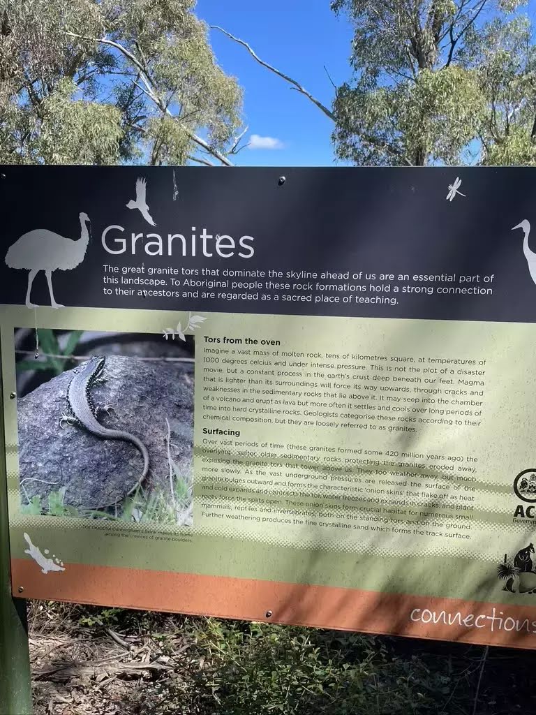
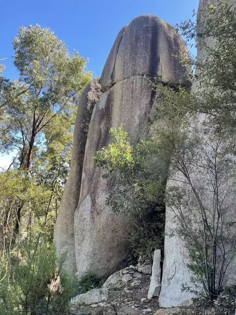
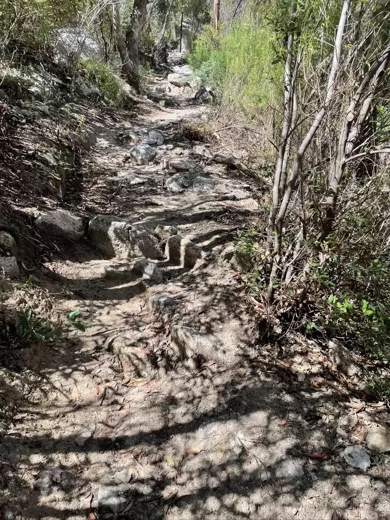
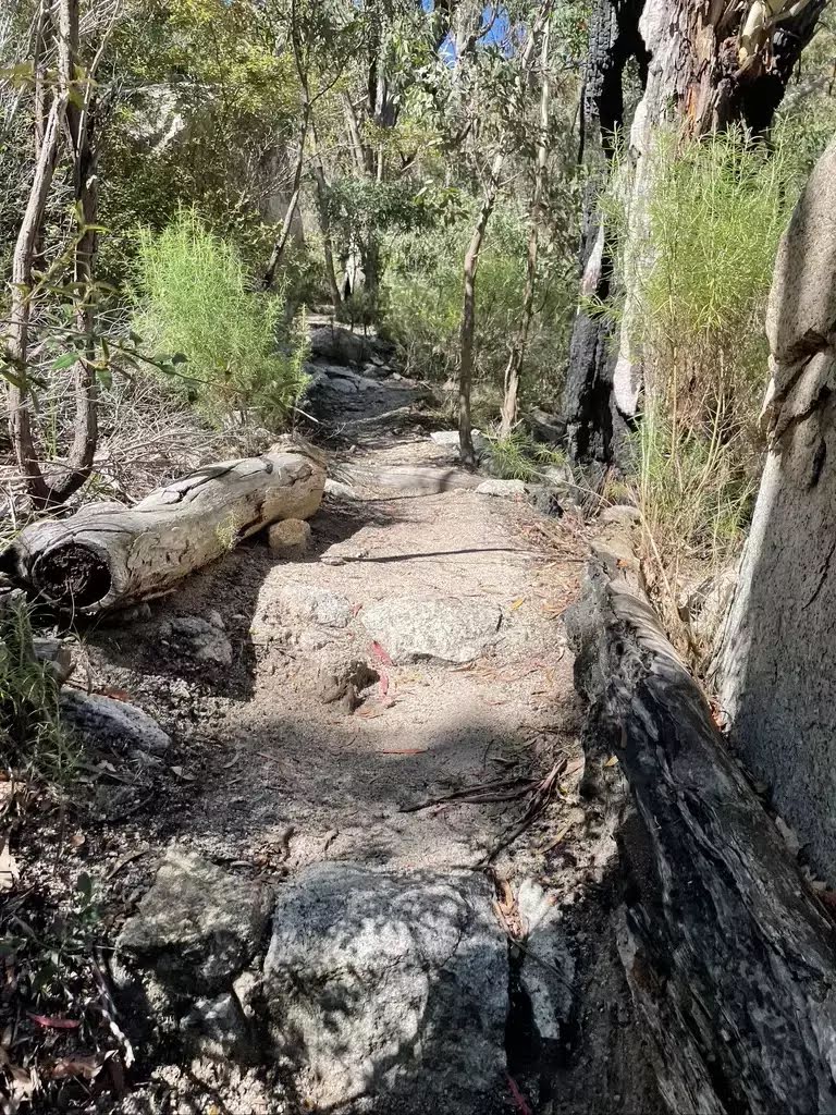
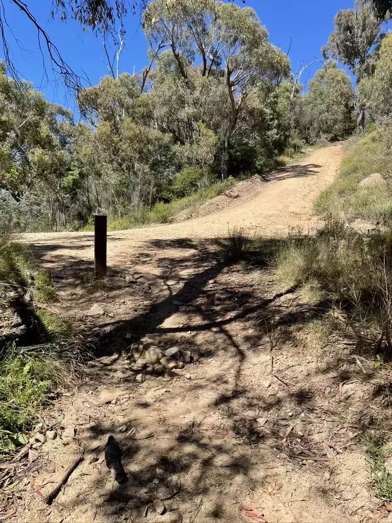
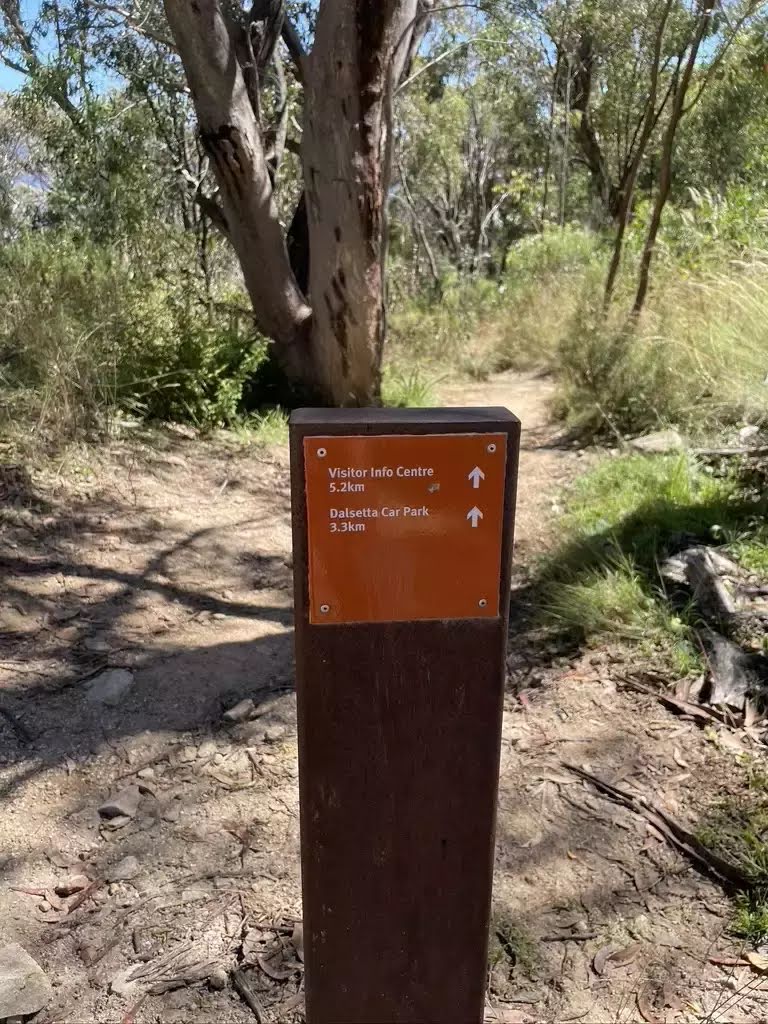
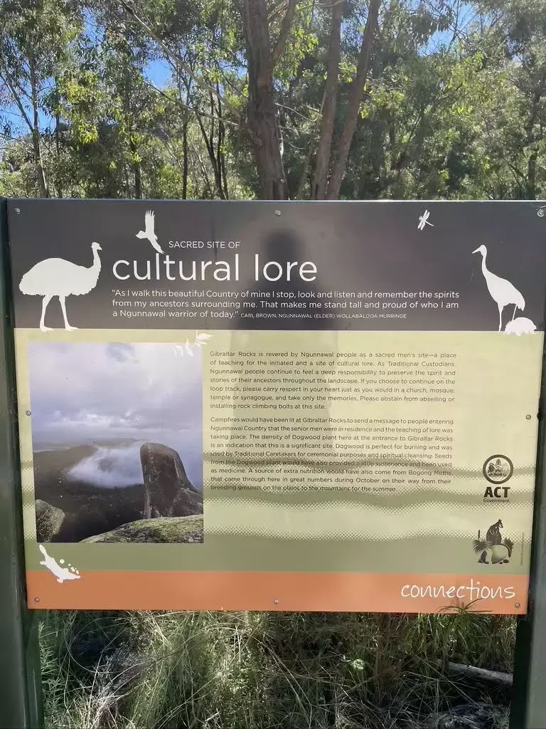
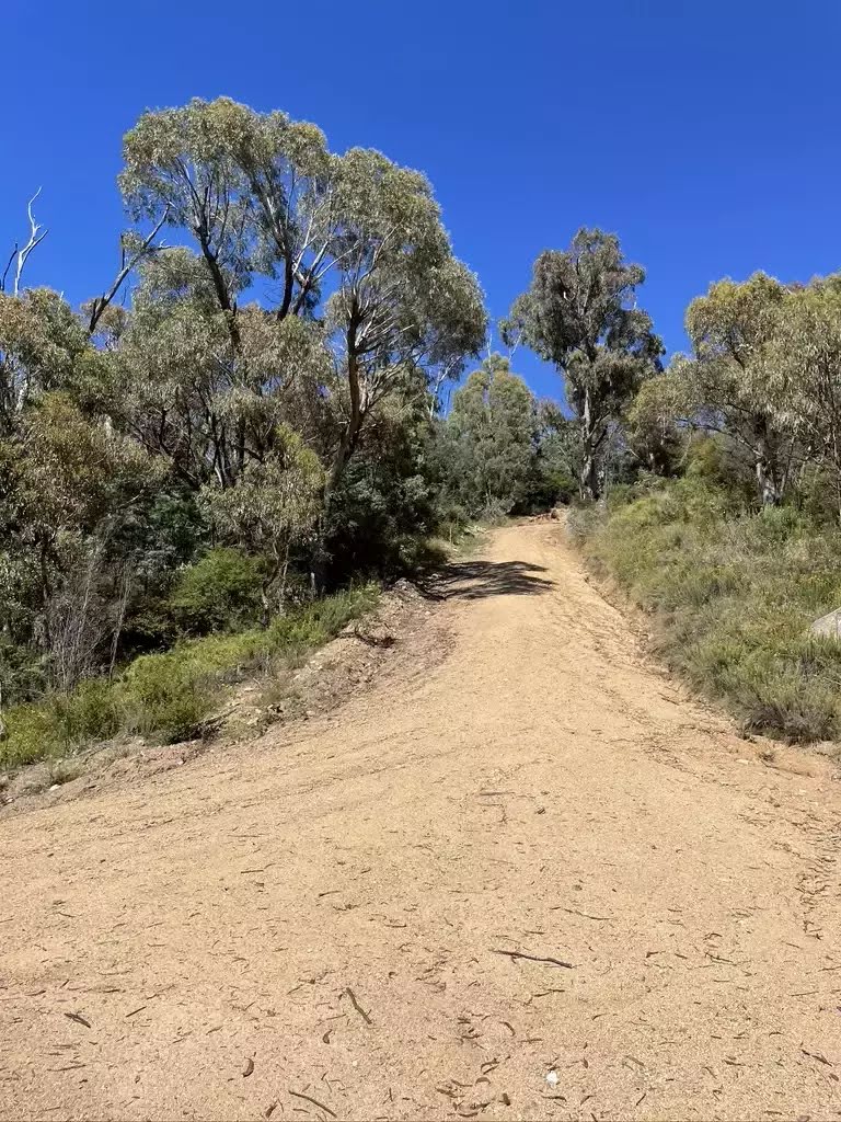
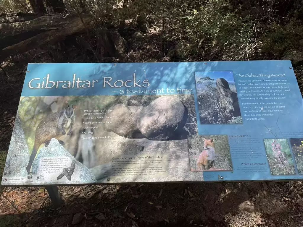
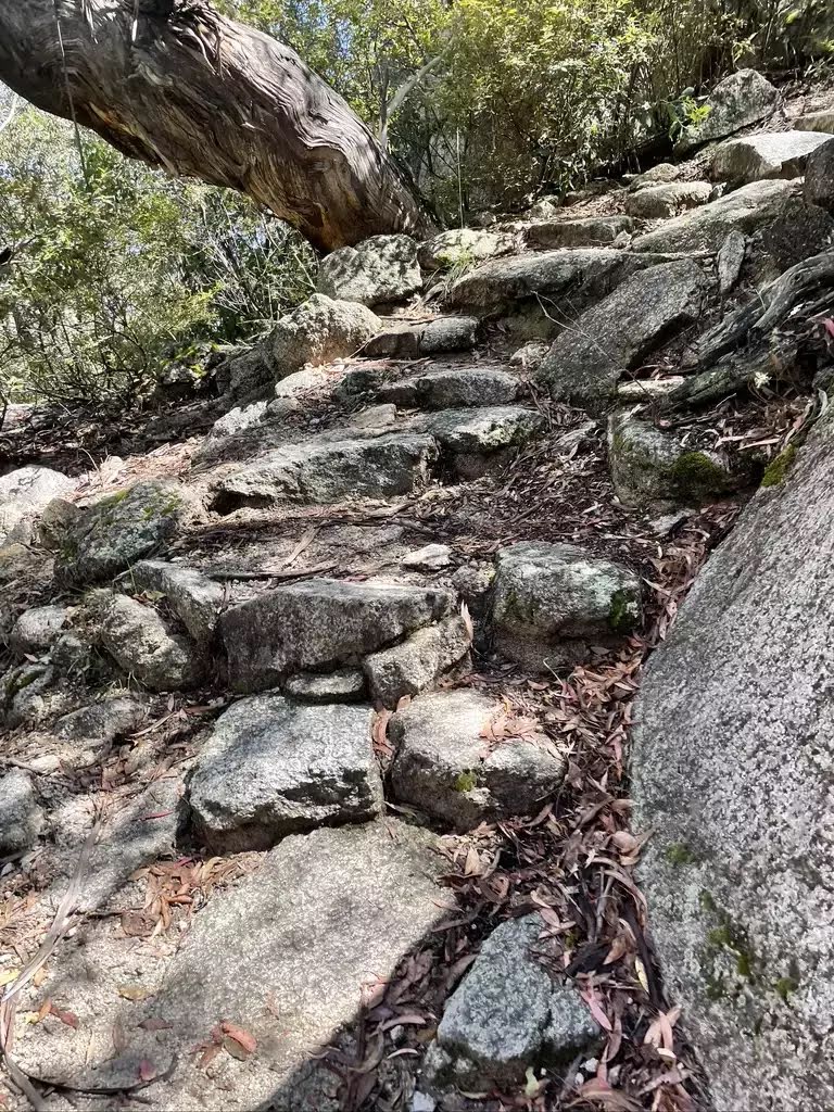
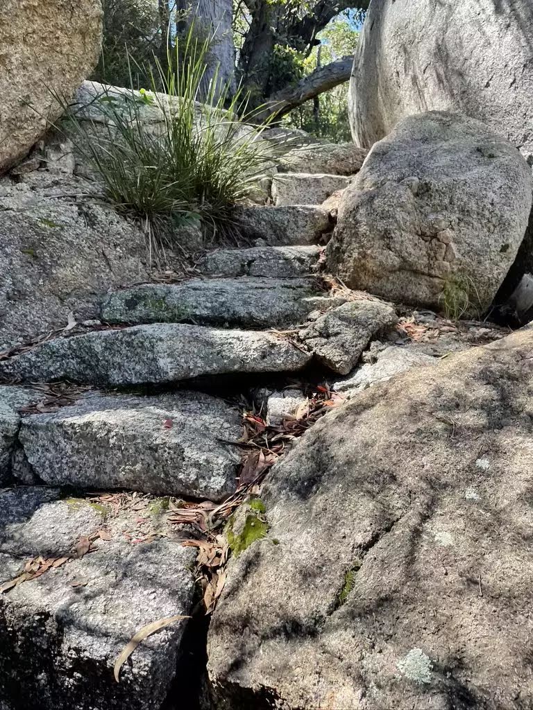
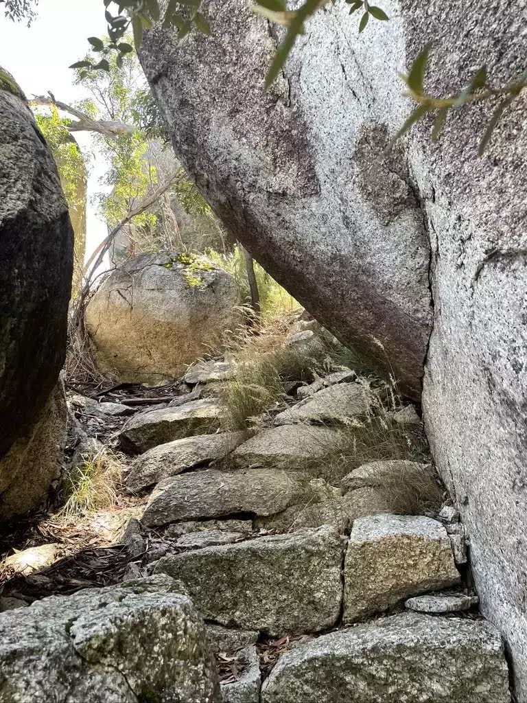
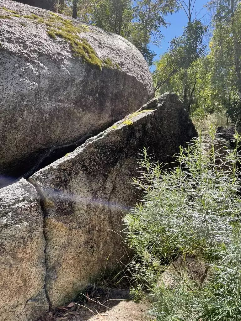
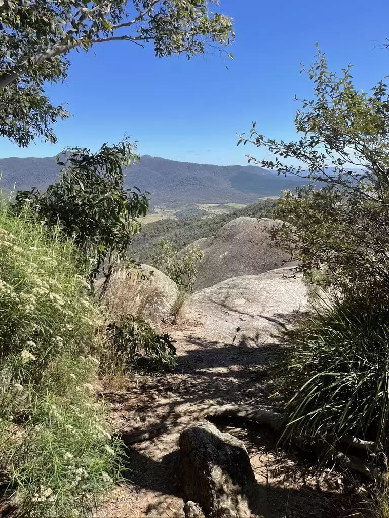
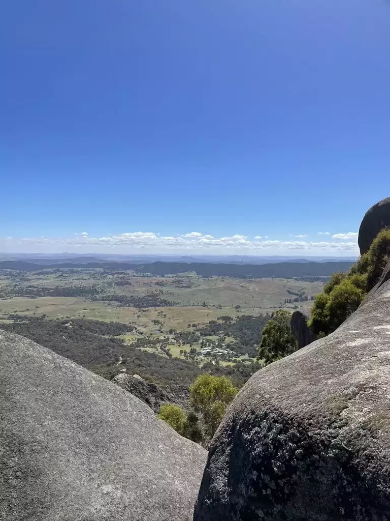
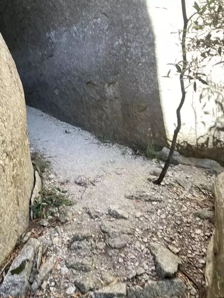
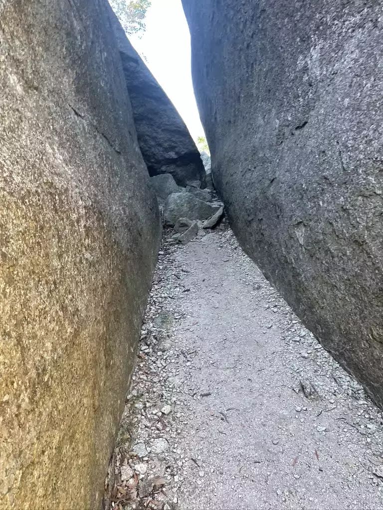
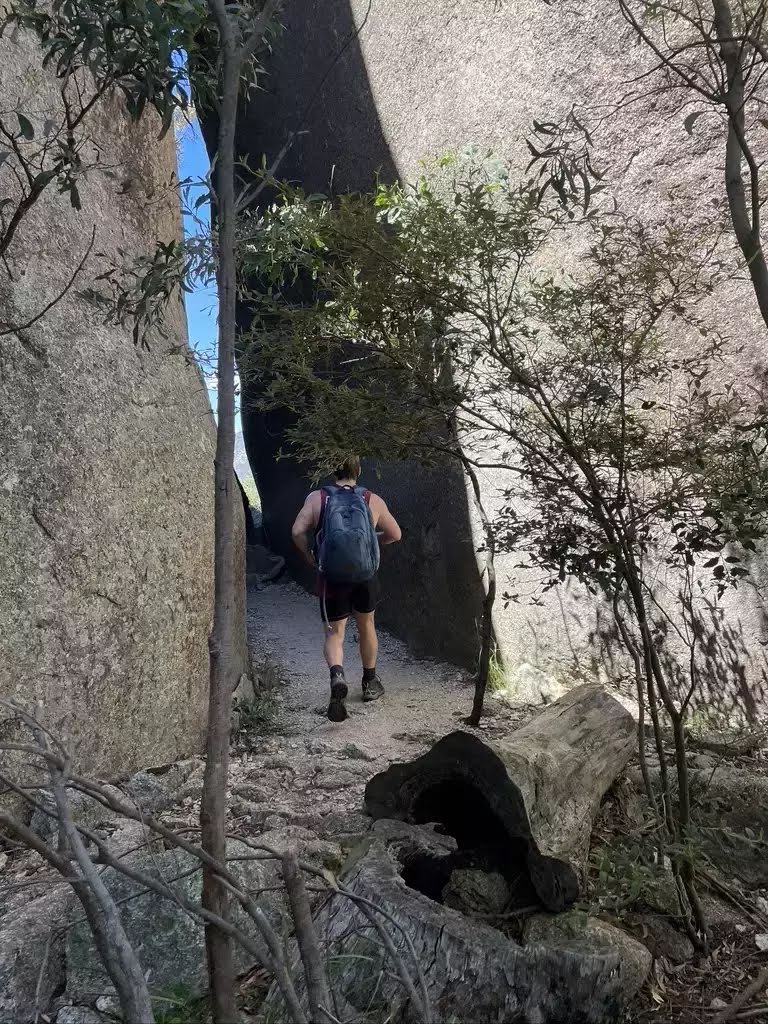
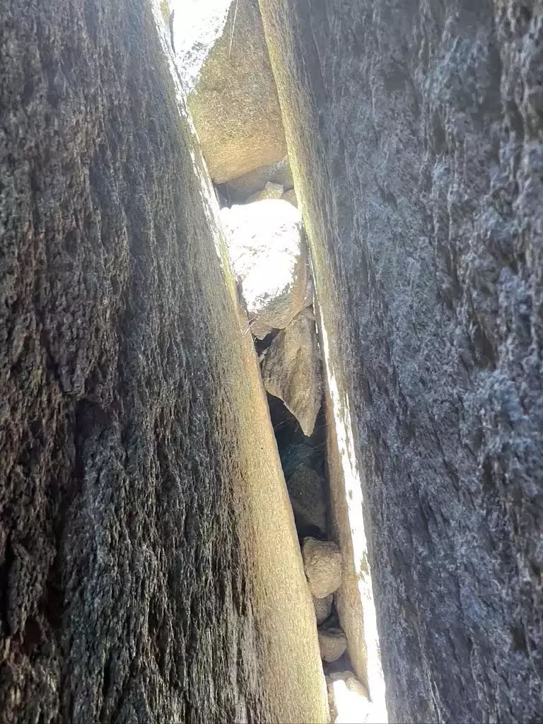
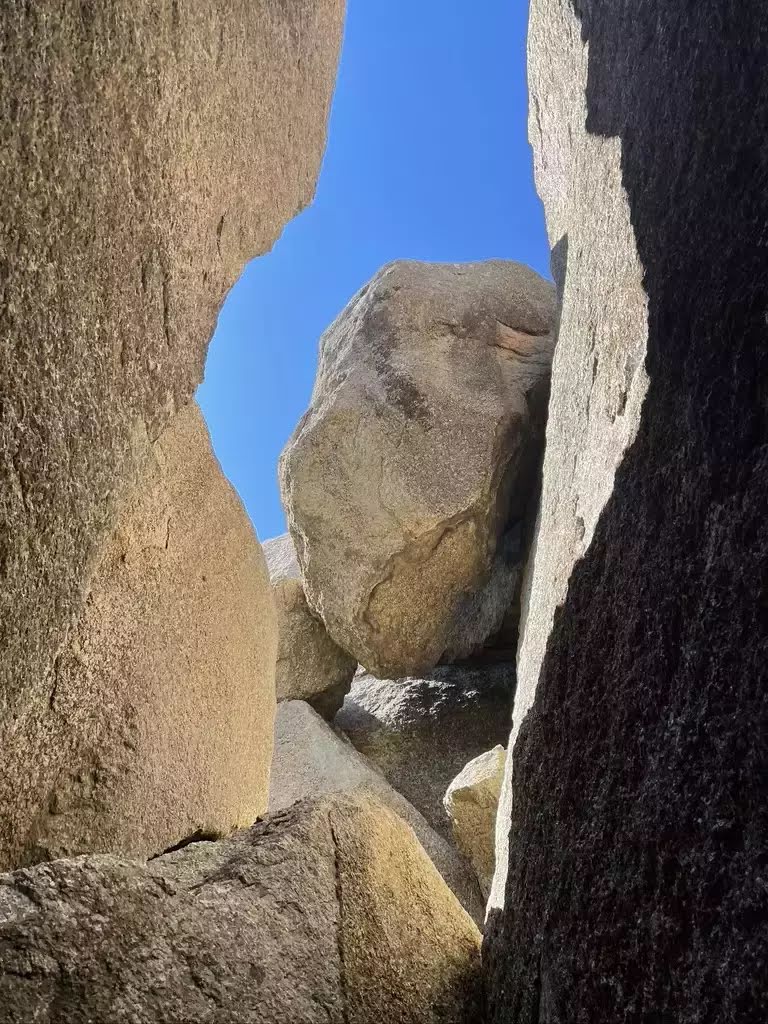
The Gibraltar Peak, Tidbinbilla Nature Reserve, starts from Dalsetta Car Park, Paddys River exploring the Xanthorrhoea Forest leading via the Gibraltar Peak Walking Track to the summit. As you climb to the summit of Gibraltar Peak (a bald granite outcrop) you will be struck by the distant panoramic views of the Paddys River region. The walk-up teases you with a series of lookouts giving a sense of what is to come. Upon arriving there, you’ll be met by the distinctive granite formations and the rewarding feeling of making it to one of the highest points in Paddys River. The intersections near the start may be puzzling, so make sure you follow the Gibraltar Peak Walking Trail signs. Also, keep in mind that the reserve closes at 8 PM in Daylight Savings Time, and 6 PM otherwise. Let us begin by acknowledging the Traditional Custodians of the land on which we travel today, and pay our respects to their Elders past and present.
Show all
Photo by Julia, 2022.
Map Notes Terrain Reviews Conditions More
Downloads GPX PDF

Some of the information and maps on this page was generated using data from the awesome © OpenStreetMap contributors.
Please see how you can embed some widgets, access data and other stuff to that might be helpful.