| Turn map |
Directions & comments |
|
|

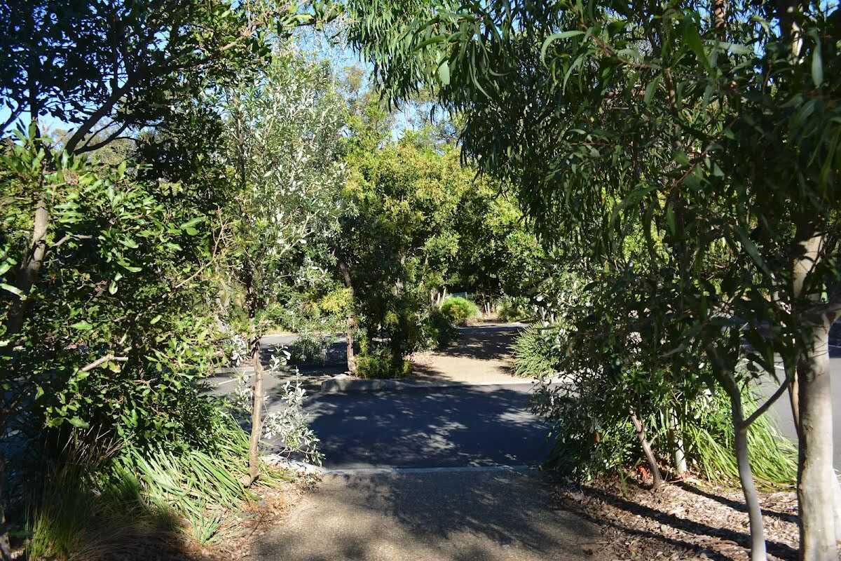
Start.

Find the park at the start.
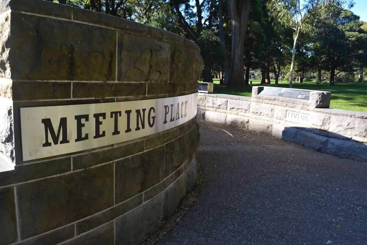
The Meeting Place (about 150 m back from the start).
This circular seating area provides an opportunity to reflect on the history of this land. A chance to consider the Aboriginal people, their connection to this land and that 'At this place in April 1770 Aboriginal people gathered as a converted British coal ship, the Endeavour, appeared on the horizon and continued into the bay. As the landing party approached, two Aboriginal men advanced to the beach to challenge the group of strangers as they prepared to come ashore.'

Toilet (about 40 m back from the start).
Male and female toilet block. Entrance is 110cm wide, hand basins 90cm high, cubical doors 56cm wide, toilet seat 44cm high. Male toilet has a urinal 40 and 60cm high. No handrails. Toilet entrance is around the eastern side of visitor centre building.

Seat (about 7 m back from the start).
A series of four timber slat bench seat, 44cm high, 32cm deep and 1.8m wide with no arm or backrest. The seats are outside the visitors center.

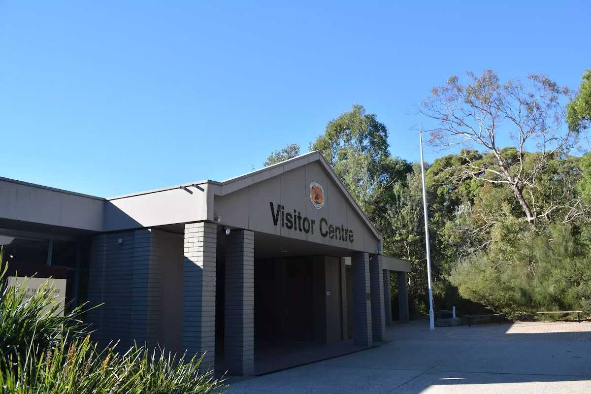
Visitor Centre.

Then pass the car park (on your right).

After another 40 m find the "Parking Accessible" (on your left).
There are about 60 car parking bays infrount of the visitors center. Two are marked mobiilty parking bays. The mobility parking area is ashphalt, 3.8m wide and 4.6m deep.

Then find the "Visitor Centre" (9 m on your right).
This visitors' centre can be found on Cape Solander Drive, inside Kamay Botany Bay National Park. It provides great information about the area's history and environment, plus there is a souvenir shop, where some simple food and drink is also available. A Trailrider is also available for free hire for people with limited mobility. There is a male & female toilet block on the eastern side of the Visitor Centre. And a large parking area in front.
|
|
|

Turn left.
|
|
|

After another 30 m continue straight, to head along Muru Fire Track.
|
|
|
After another 65 m (at the intersection of Muru Fire Track & Cape Solander Drive) continue straight, to head along Muru Fire Track.
|
|
|

After another 165 m turn right.
|
|
|
After another 100 m continue straight.

After another 40 m come to the "Kurnell Lookout" (9 m on your left).
|
|
|
After another 225 m turn left, to head along Yena Track.
|
|
|
After another 80 m turn right, to head along Yena Track.
|
|
|
After another 460 m (at the intersection of Polo Trail & Yena Track) turn left, to head along Polo Trail (a walking track).
|
|
|
After another 370 m (at the intersection of Yena Gap Trail & Polo Trail) turn left.
|
|
|
After another 280 m turn right.
|
|
|
After another 930 m turn right.
|
|
|

After another 45 m veer left.
|
|
|

After another 230 m veer right.
After another 390 m continue straight.
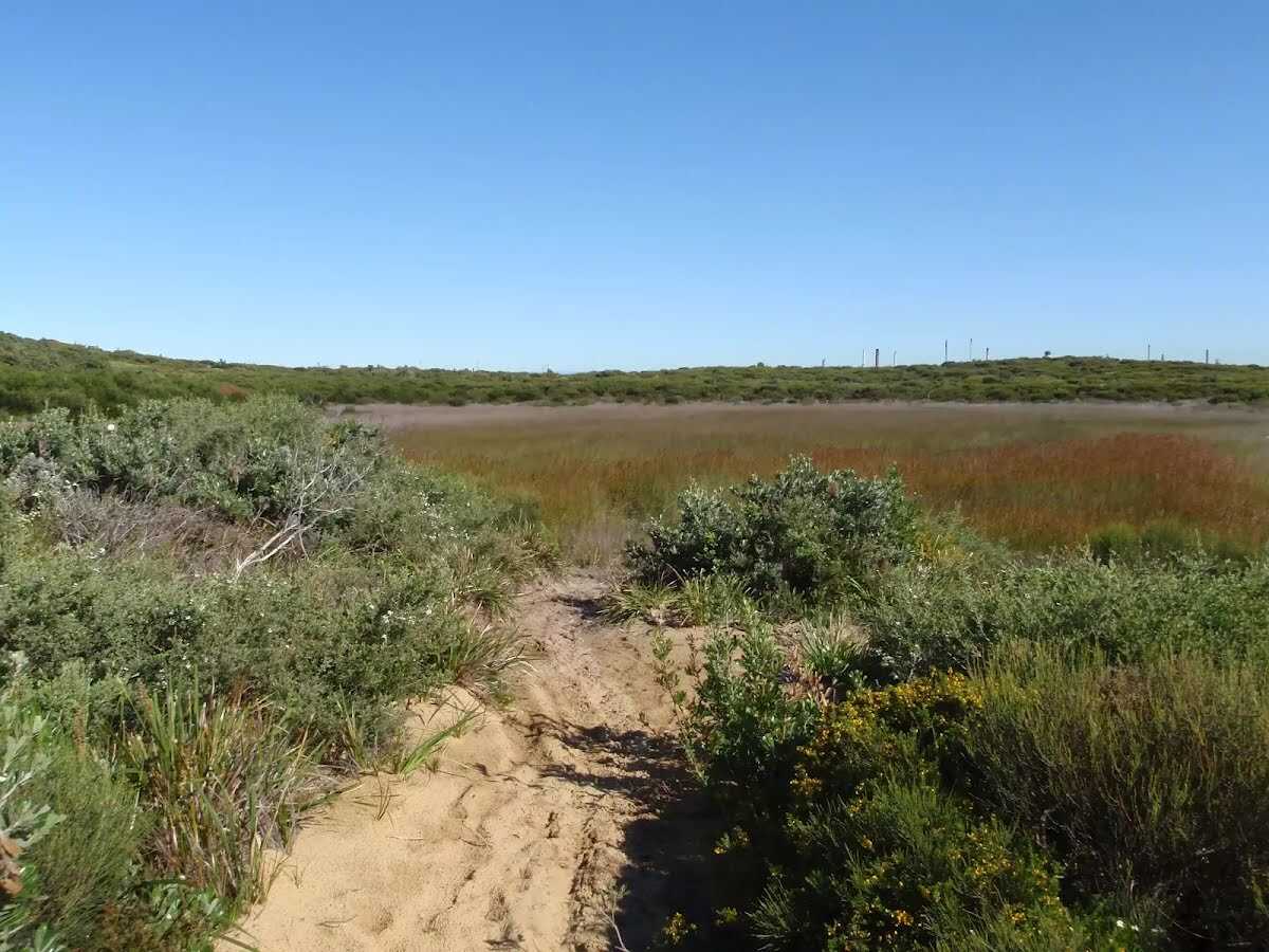
After another 235 m find the "Hanging Swamps" (40 m on your right).
There are a number of hanging swamps that can be found along the Cape Baily walk. They are home to a number of different plants and animals like reeds and frogs. Hanging swamps are formed on high ground when rainfall seeps out of surrounding hills and accumulates in a slight depression, over time forming a swamp. Interestingly, they are sometimes difficult to see from far away as the thick build up of reeds and other plant life often cover the water.
|
|
|

After another 850 m turn sharp right.
|
|
|

Continue another 95 m to find the end. Then turn around here and retrace the main route for 4.6 km to get back to the start.

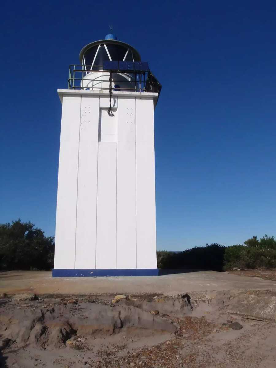
About 15 m past the end is "Cape Baily Lighthouse".
Established in 1950, the lighthouse was required so north-bound shipping could hug the coast and avoid the strong southerly currents further out to sea. This lighthouse can be found a stone's-throw from the Cape Baily coastal walk, about 1.5 kilometres north from the Joseph Banks Drive car park.

"Cape Baily Lighthouse".
|