| Start | At the intersection of Promenade Road & Greycliffe Avenue (-33.8508408,151.2685607) |
| Mode | Bus Car (There is free parking available.) |
| Directions | From Broadway, A22
|
| Turn map | Directions & comments |
|---|---|
 |
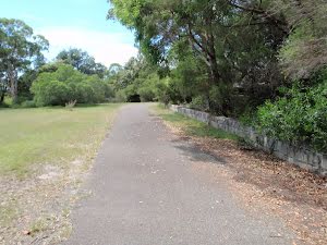
At the intersection of Promenade Road & Greycliffe Avenue Start heading along Promenade Road (a service road).
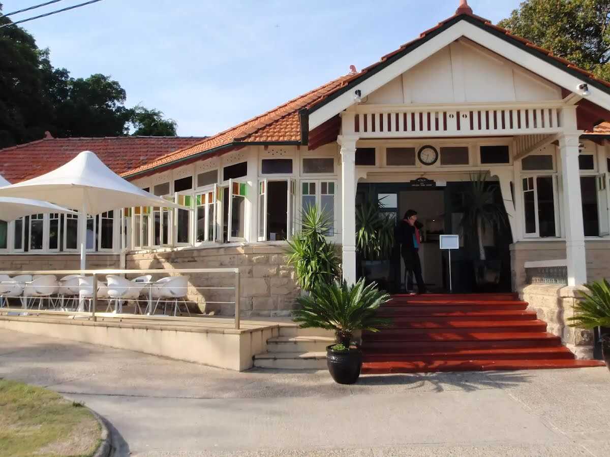 Open 8-5 daily, this historic cafe offers inside seating and a range of meals, including breakfast, sandwiches and hot food. This is one of a number of buildings in Nielsen Park which are available for functions. For further enquiries, contact 9337 1574.
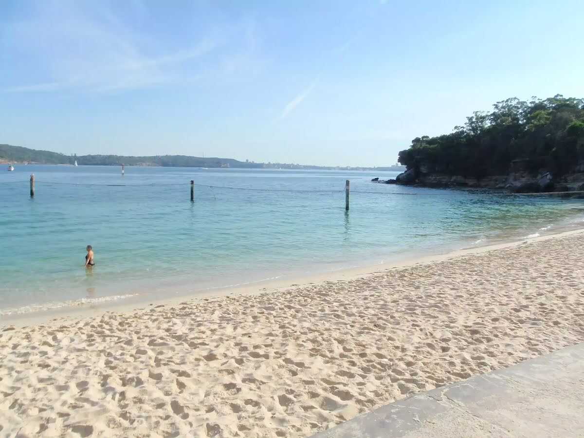 Located at the northern end of Nielsen Park, this beach faces north across Sydney Harbour. The sandy beach offers a swimming net enclosure, public toilets and change rooms, showers and is a popular place for people to simply relax. The beach is a focal point of Nielsen Park and also boasts a cafe. Protected by the harbour, there is no surf at this beach. The beach is not patrolled. This is a lovely spot, with natural shade not far from the beach.
|
 |
The starting point of an optional sidetrip. An optional side trip to Nielsen Park Cafe. To start this optional side trip continue straight here. On returning from this side trip turn sharp right when you get back to this intersection. Details below.
|
 |
|
 |
|
 |
|
 |
|
 |
The starting point of an optional sidetrip. An optional side trip to Nielsen Park Cafe. To start this optional side trip turn right here. On returning from this side trip turn sharp left when you get back to this intersection. Details below.
|
 |

|
|
Class 2/6 Easy track |
|---|---|
| Length | 650 m |
| Time | 15 min to 30 min |
| Quality of track | Smooth and hardened path (1/6) |
| Gradient | Gentle hills with occasional steps (2/6) |
| Signage | Clearly signposted (1/6) |
| Infrastructure | Generally useful facilities (such as fenced cliffs and seats) (1/6) |
| Experience Required | No experience required (1/6) |
| Weather | Weather generally has little impact on safety (1/6) |
| Item | From Start | Name & link to notes |
|---|---|---|
Toilet
| 95 m | [toilet] |
Toilet
| 105 m | [toilet] |
Toilet
| 105 m | [toilet] |