
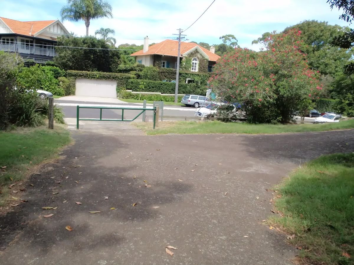
| Start | At the intersection of Promenade Road & Greycliffe Avenue (-33.8508408,151.2685607) |
| Mode | Bus Car (There is free parking available.) |
| Directions | From Broadway, A22
|
| Turn map | Directions & comments |
|---|---|
 |
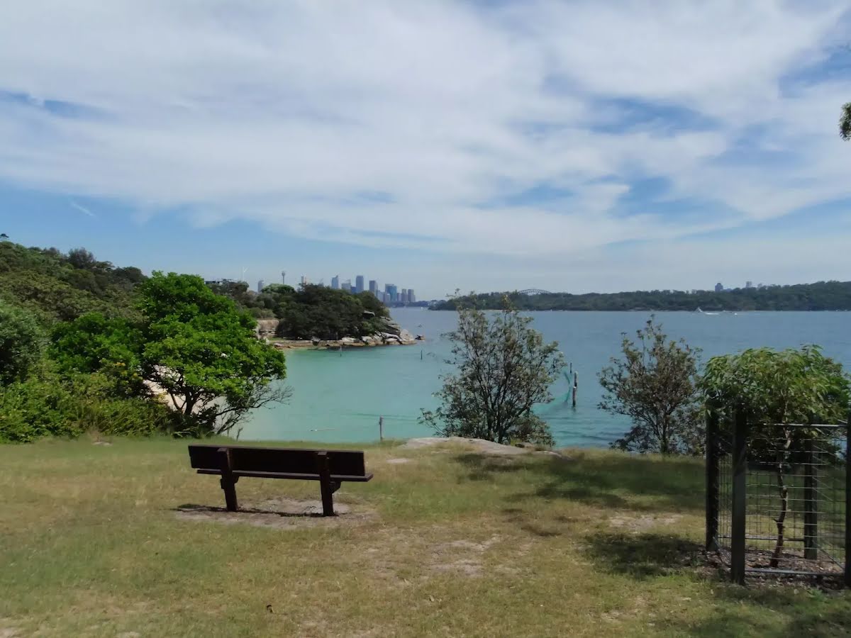
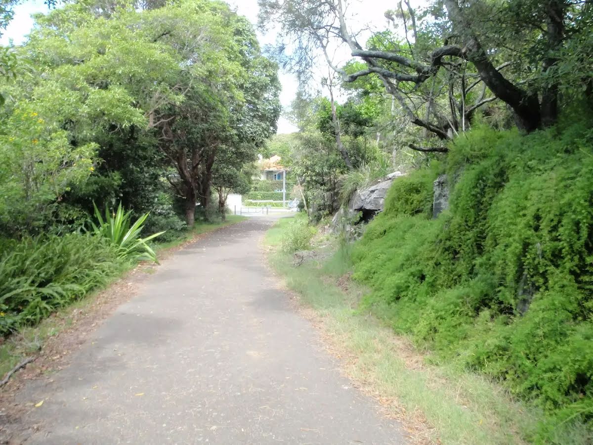
At the intersection of Promenade Road & Greycliffe Avenue Start heading along Promenade Road (a service road).
|
 |
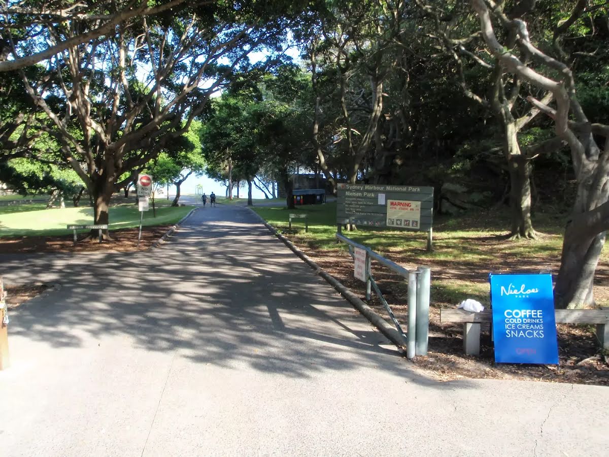
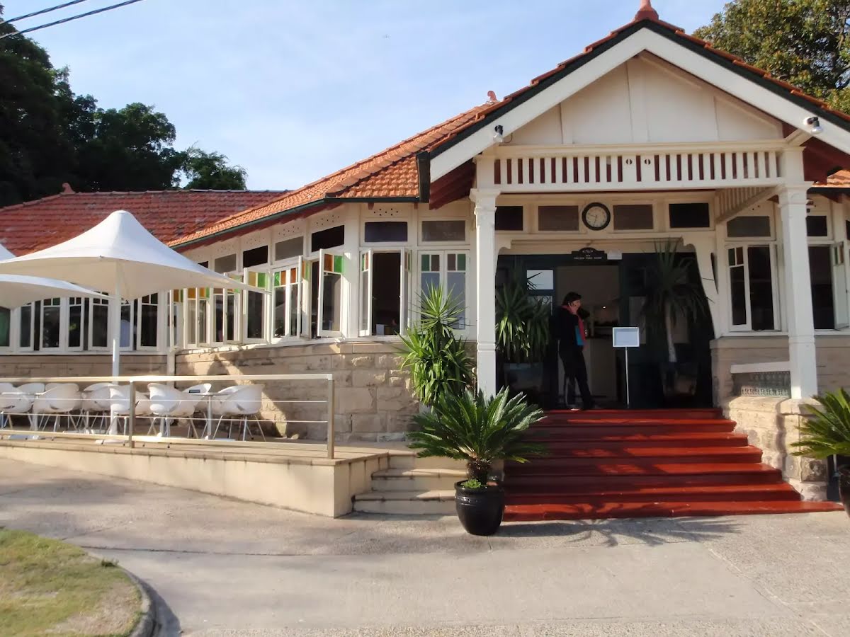
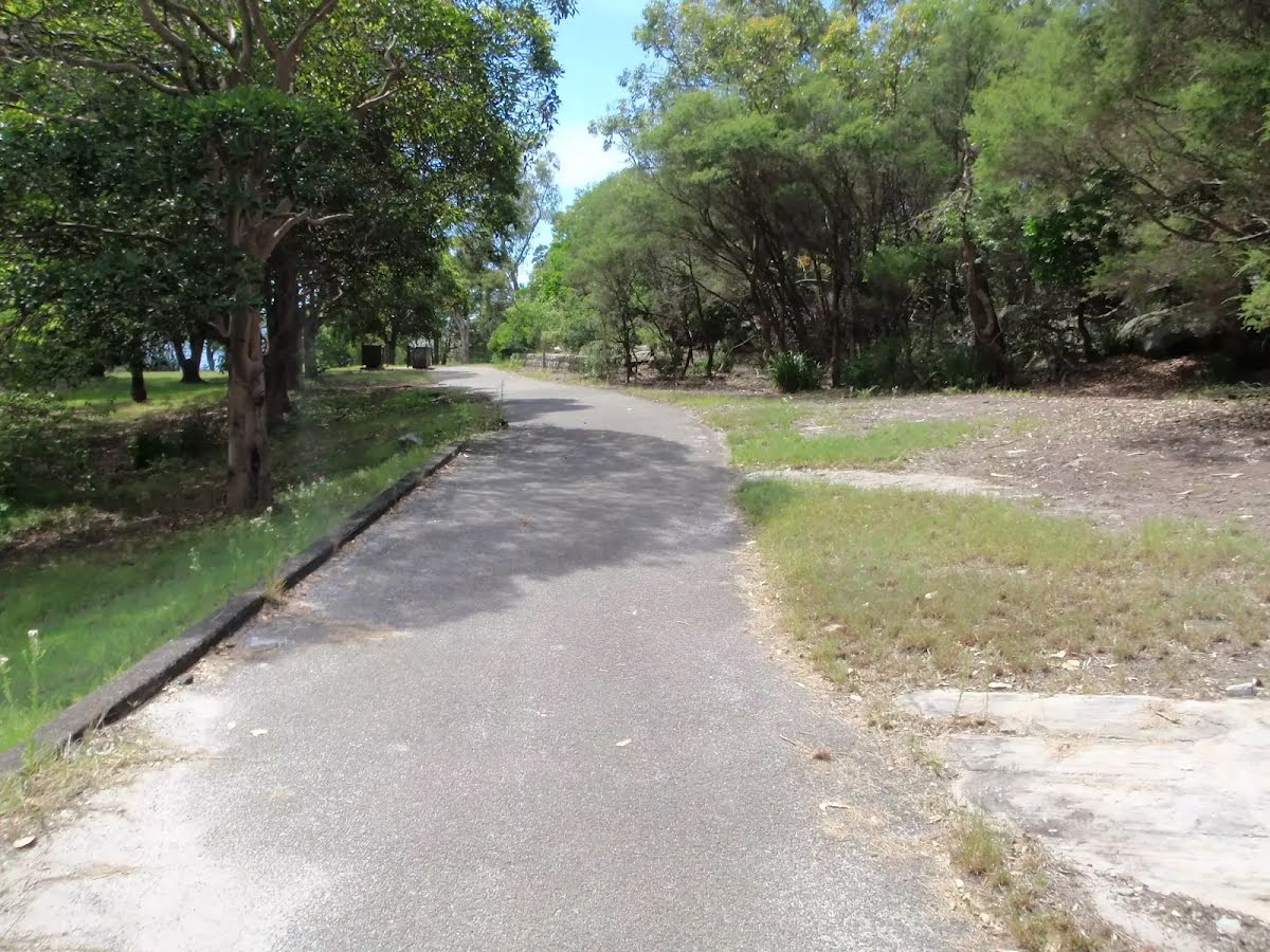
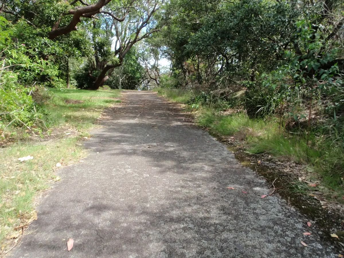
The starting point of an optional sidetrip. An optional side trip to Nielsen Park Cafe. To start this optional side trip continue straight here. On returning from this side trip turn sharp right when you get back to this intersection. Details below.
|
 |
|
 |
|
 |
|
 |
|
 |
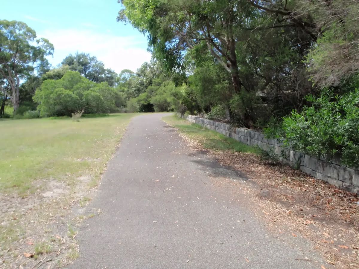
The starting point of an optional sidetrip. An optional side trip to Nielsen Park Cafe. To start this optional side trip turn right here. On returning from this side trip turn sharp left when you get back to this intersection. Details below.
|
 |

|
|
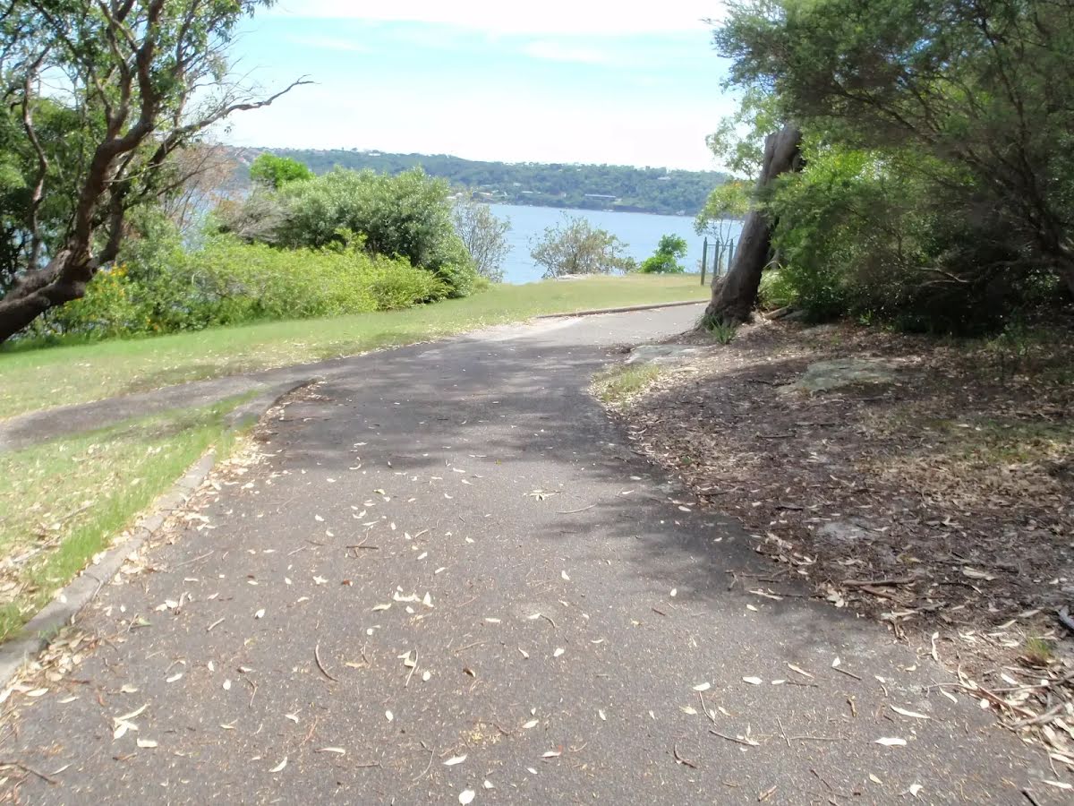
Class 2/6 Easy track |
|---|---|
| Length | 650 m |
| Time | 15 min to 30 min |
| Quality of track | Smooth and hardened path (1/6) |
| Gradient | Gentle hills with occasional steps (2/6) |
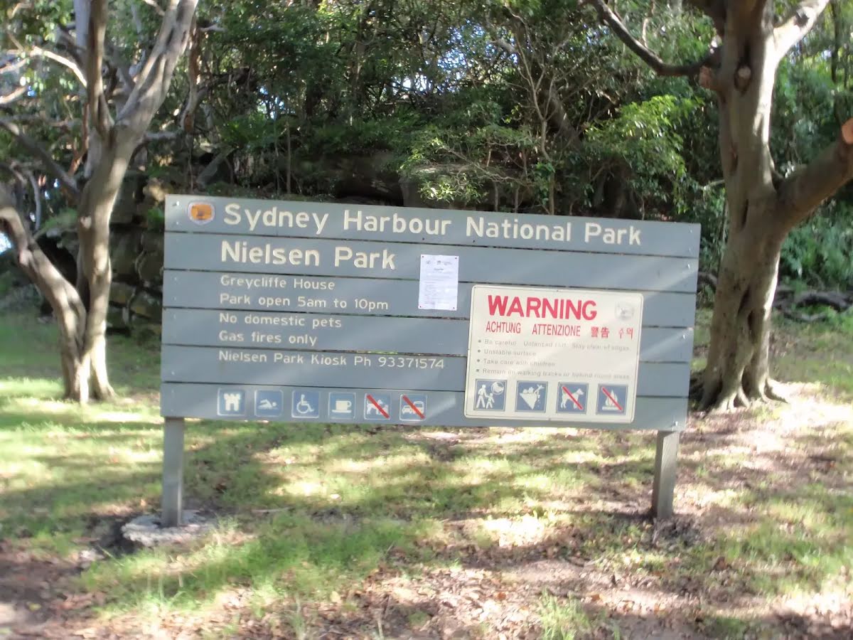
| Signage | Clearly signposted (1/6) |
| Infrastructure | Generally useful facilities (such as fenced cliffs and seats) (1/6) |
| Experience Required | No experience required (1/6) |
| Weather | Weather generally has little impact on safety (1/6) |
| Item | From Start | Name & link to notes |
|---|---|---|
Toilet
| 95 m | [toilet] |
Toilet
| 105 m | [toilet] |
Toilet
| 105 m | [toilet] |