| Turn map |
Directions & comments |
|
|

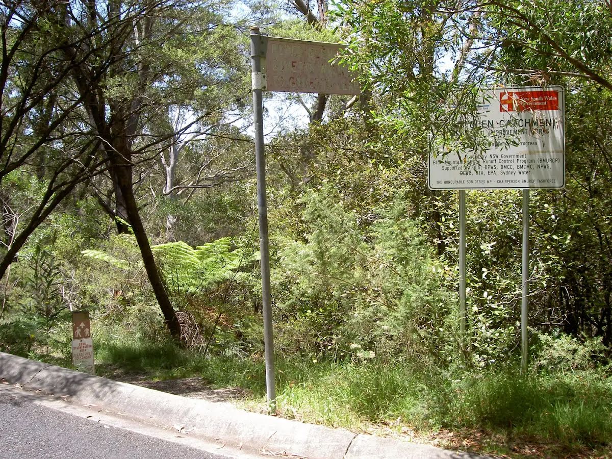
At the intersection of Dell Street & Popes Glen Track Start heading along Dell Street (a residential road).

After 460 m pass the "Rolnor Park" (290 m on your right).
|
|
|

At the intersection of Dell Street & Clarence Road turn right (a service road).
|
|
|

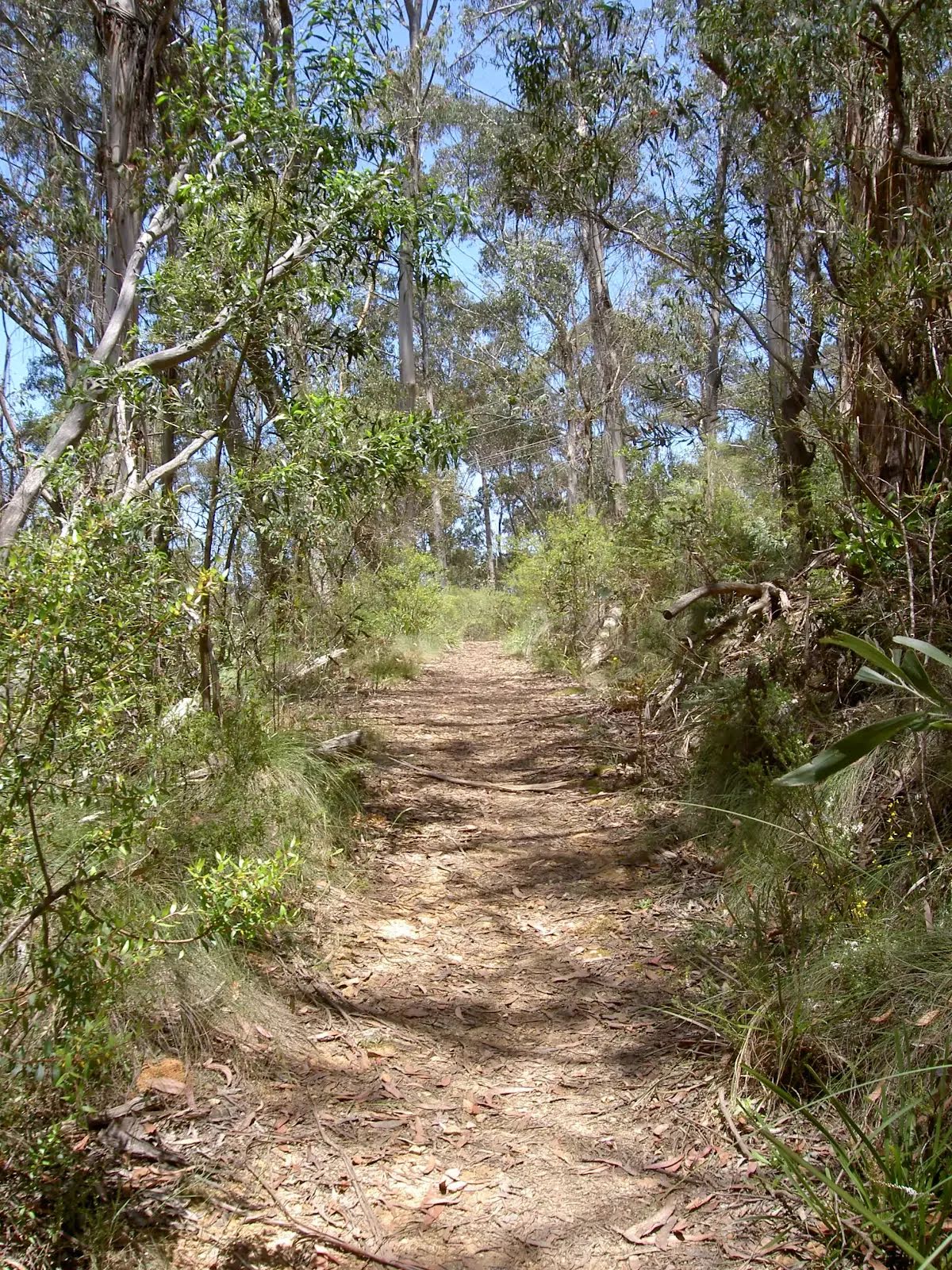
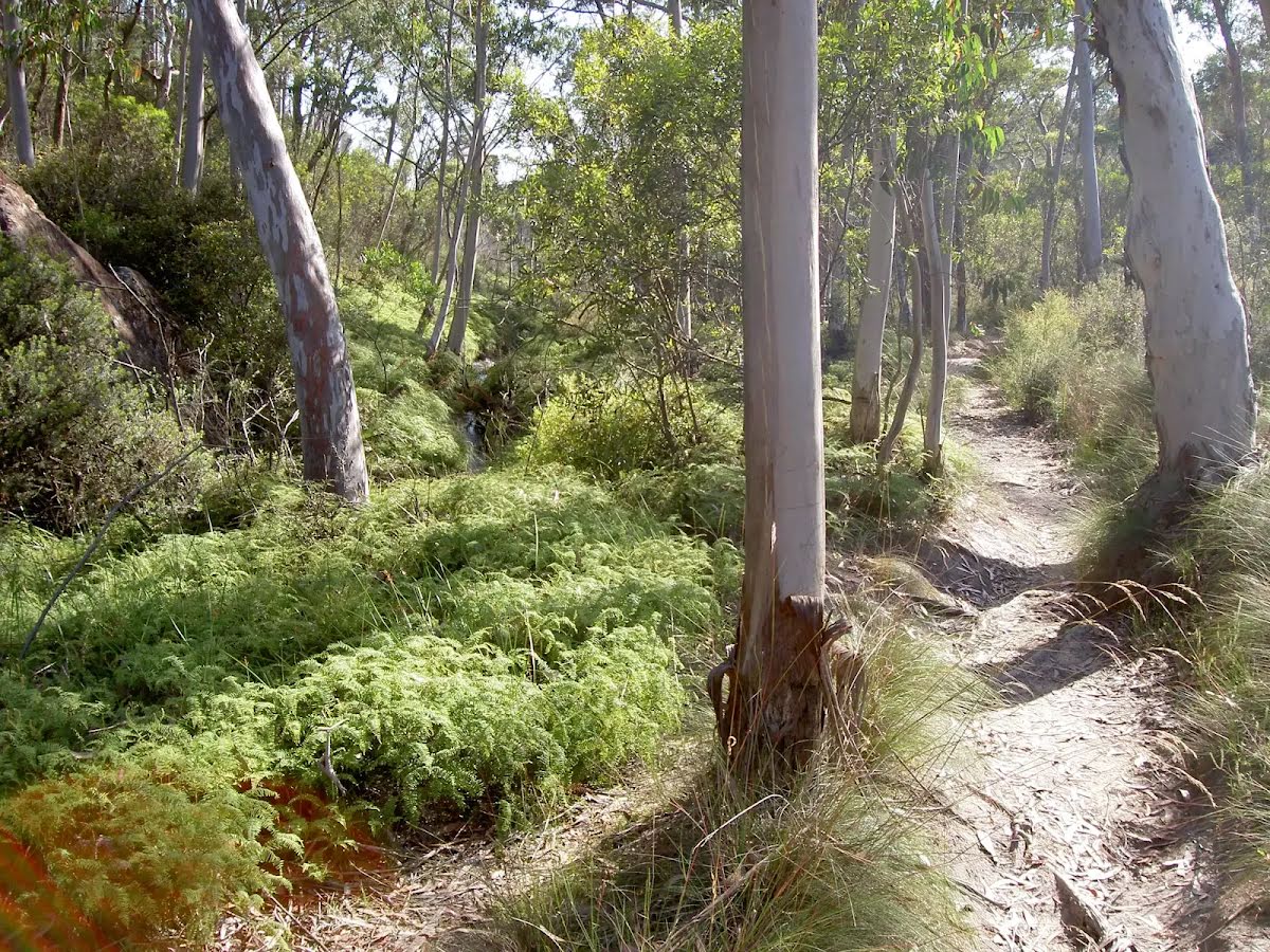
After another 125 m turn left, to head along Popes Glen Track.

After another 265 m cross the bridge (about 9 m long)

After another 170 m continue straight, to head along Popes Glen Track.
|
|
|
After another 75 m continue straight, to head along Popes Glen Track.
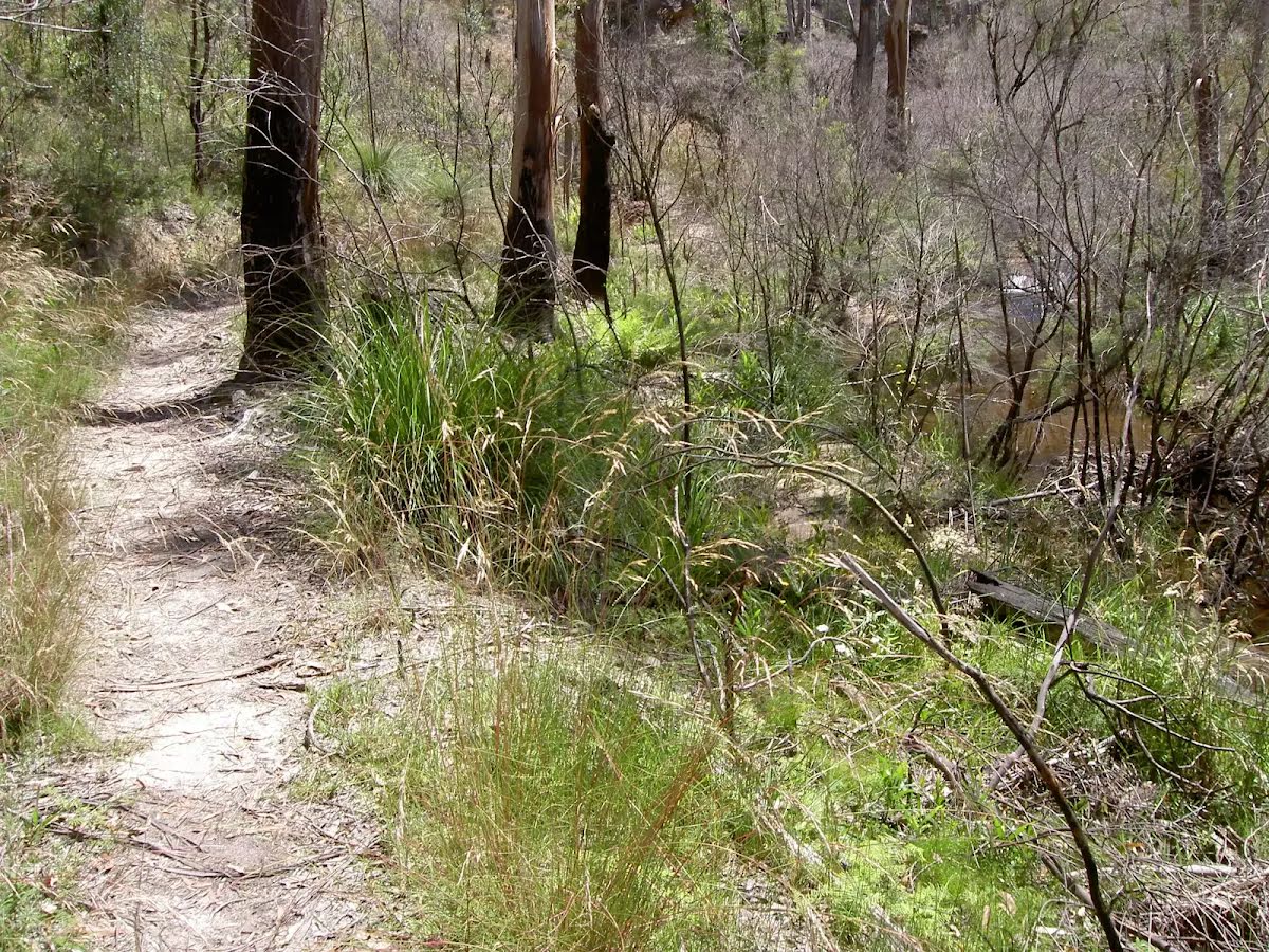
After another 660 m cross the bridge (about 8 m long)
After another 380 m cross the bridge (about 9 m long)
|
|
|
After another 170 m continue straight.
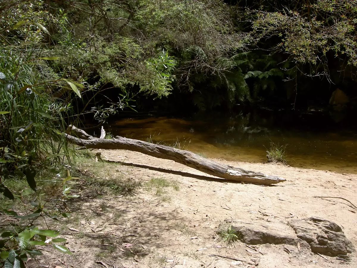
After another 55 m find the "Boyd Beach" (on your left).

After another 5 m cross the ford.
|
|
|
After another 55 m turn left, to head along Popes Glen Track.
|
|
|
After another 15 m continue straight, to head along Popes Glen Track.
|
|
|
After another 305 m (at the intersection of Popes Glen Track & Pulpit Rock Track) turn left, to head along Pulpit Rock Track.
After another 20 m cross the ford.

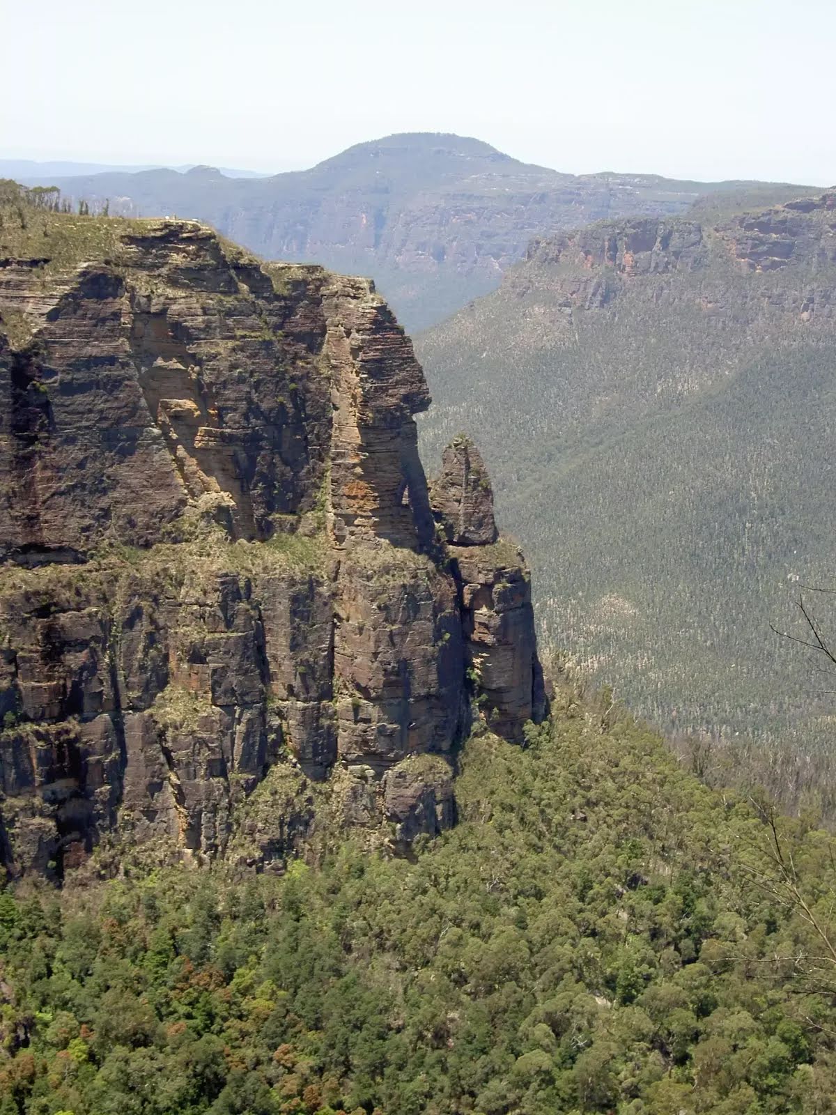
After another 30 m come to the "Bradleys Lookout".

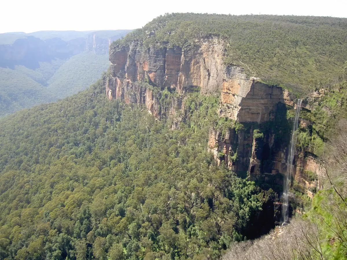
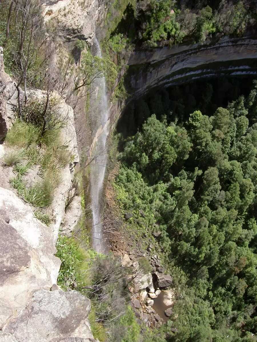
After another 6 m find the "Horseshoe Falls" (20 m on your right).
After another 310 m come to the "Cripps Lookout" (9 m on your right).
After another 1 km find the "Boyd Lookout" (15 m on your right).
|
|
|

After another 1.6 km turn around, to head along Pulpit Rock Track.
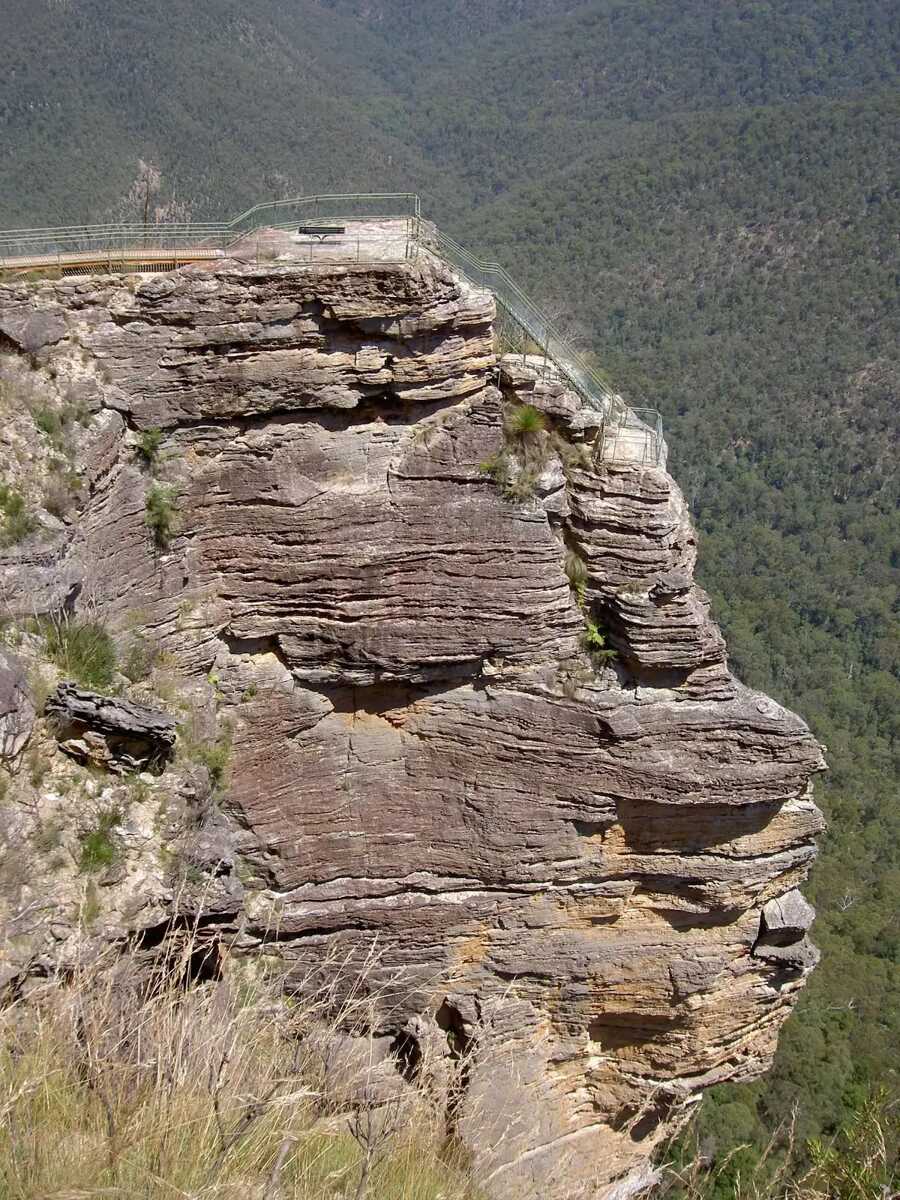
After another 65 m come to the "Pulpit Rock Upper Lookout" (95 m on your right).
Then find the "Pulpit Rock Lookout" (95 m on your right).

Then pass a seat (110 m on your right).
Then come to the viewpoint (110 m on your right).
Then come to the viewpoint (115 m on your right).
Then come to the "Pulpit Rock Lookout" (135 m on your right).
|
|
|

After another 3 km (at the intersection of Popes Glen Track & Pulpit Rock Track) turn sharp left, to head along Pulpit Rock Track.
After another 140 m come to the "Rodriguez Lookout".
After another 20 m find the "Horseshoe Falls Lookout" (25 m on your left).
|
|
|
Continue straight, to head along Pulpit Rock Track.
|
|
|
After another 155 m continue straight.
After another 30 m come to the "Two Falls Lookout".
|
|
|
After another 25 m turn sharp left, to head along Pulpit Rock Track.
|
|
|

After another 20 m (Laws Lookout) veer right, to head along Loop Track.
After another 25 m come to the "Laws Lookout".
|
|
|
After another 100 m (at the intersection of Govetts Leap Track (Williams Track) & Loop Track) veer right, to head along Govetts Leap Track (Williams Track).
After another 30 m come to the "Breakfast Rock Lookout" (30 m on your left).
|
|
|
After another 70 m (at the intersection of Pulpit Rock Track & Govetts Leap Track (Williams Track)) turn left, to head along Loop Track.
|
|
|
After another 8 m veer right, to head along Loop Track.
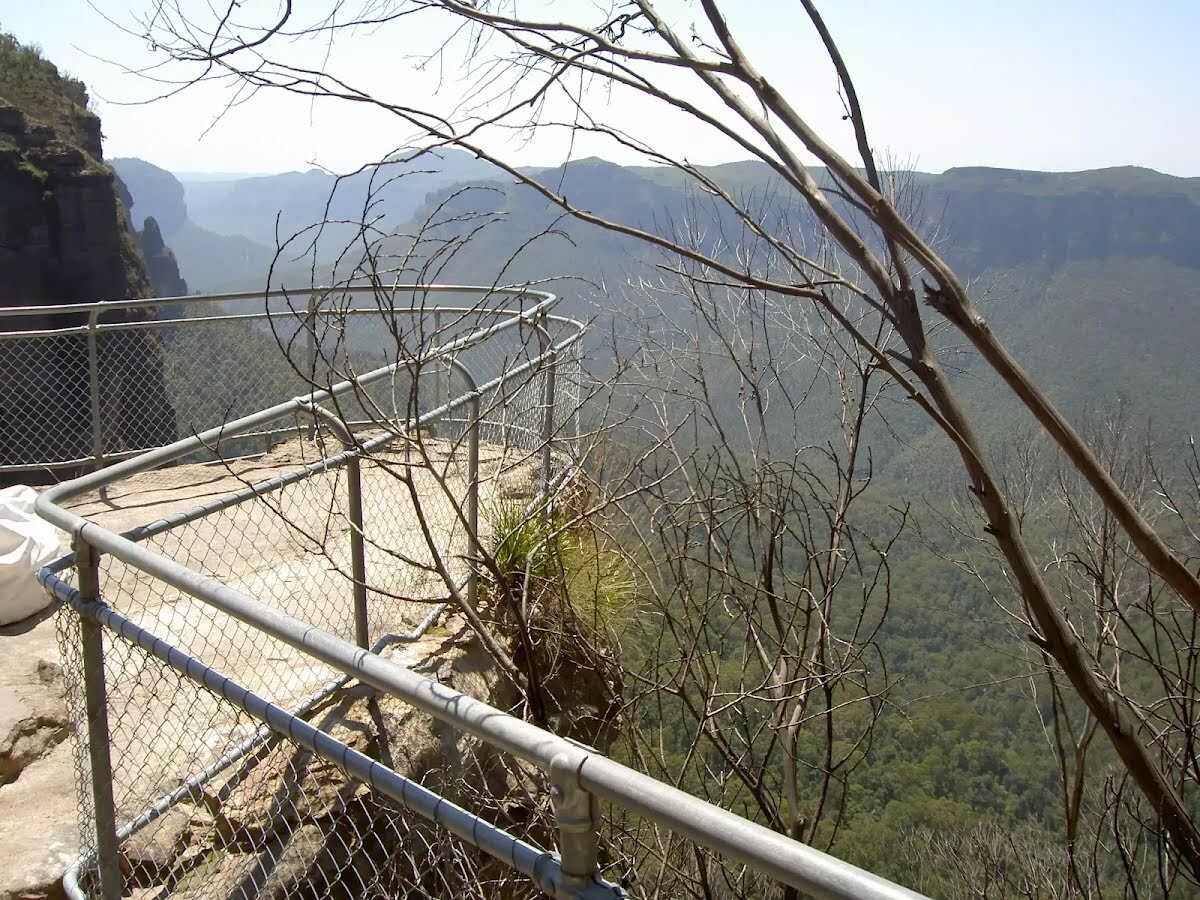
After another 20 m come to the viewpoint (6 m on your left).
|
|
|

Veer left.

After another 6 m pass the sign (on your right).

After another 20 m pass the toilet (40 m on your right).

Then pass the water tap (50 m on your right).

Then find the "Trip Hazard" (115 m on your right).
|
|
|
Continue straight.
After another 15 m pass the water tap (7 m on your right).
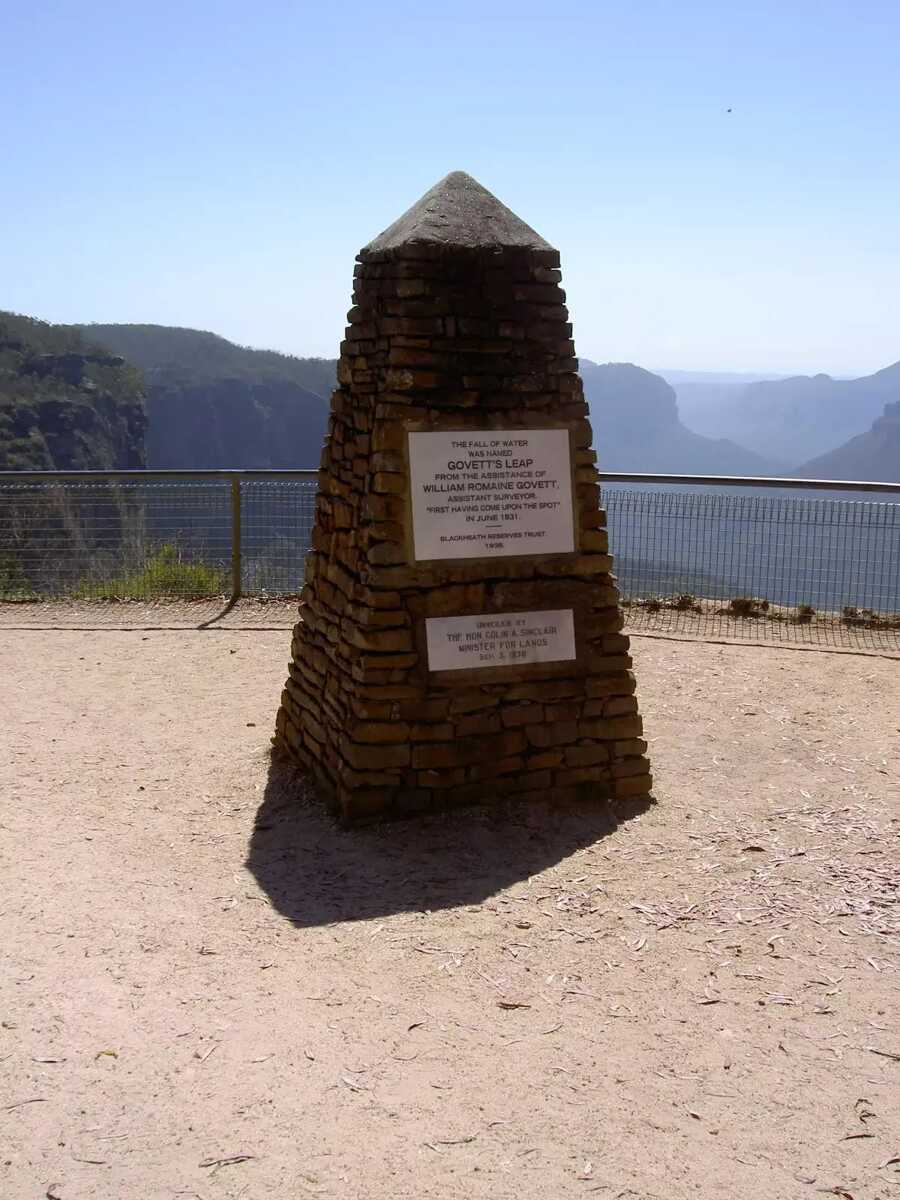
After another 10 m find the "Govetts Leap Lookout" (6 m on your right).
|
|
|
After another 1 m continue straight, to head along Cliff Top Track.

After another 50 m find the "Parking Accessible" (120 m on your right).
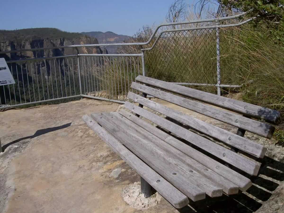
After another 195 m pass a seat (5 m on your right).

After another 15 m head down the earthen steps (about 370 m long)
Then pass a seat (5 m on your right)., has no backrest.
After another 180 m pass the "Bridal Veil Falls" (30 m on your left).

After another 7 m cross the stepping stones.
|
|
|
After another 7 m (at the intersection of Braeside Walk & Cliff Top Track) turn left, to head along Cliff Top Track (a steps).
Then head down the earthen steps (about 150 m long)
Then find the "Barrow Lookout" (5 m on your right).
Then pass a seat (5 m on your right)., has a backrest.
Then come to the "Barrow Lookout" (10 m on your right).
|
|
|
After another 55 m (at the intersection of Cliff Top Track & Braeside Walk) veer left, to head along Braeside Walk (a walking track).
|
|
|
After another 570 m continue straight, to head along Braeside Walk.
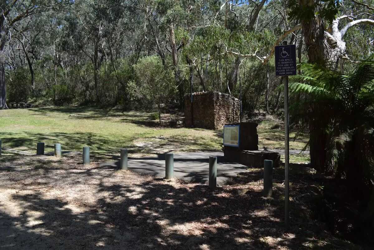
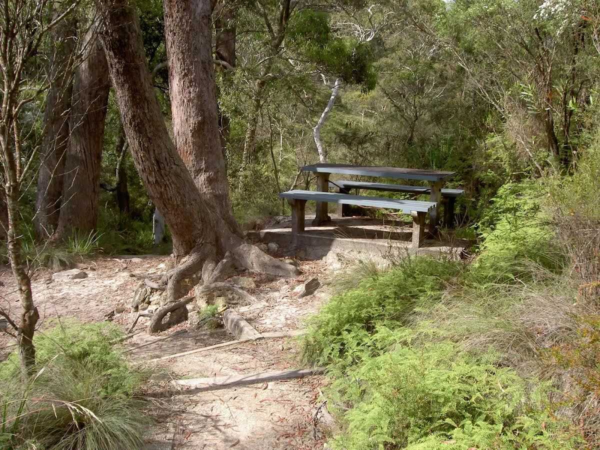
After another 690 m find the "Braeside Picnic Area" (10 m on your left).
|
|
|
At the intersection of Braeside Road & Braeside Walk continue straight, to head along Braeside Road (a vehicle track).
|
|
|
After another 460 m continue straight.
|
|
|
After another 20 m continue straight, to head along Braeside Road.
|
|
|
After another 600 m (at the intersection of Cross Street & Braeside Road) turn left, to head along Braeside Street (a residential road).
|
|
|
After another 70 m (at the intersection of Bell Street & Braeside Street) continue straight, to head along Braeside Street.
|
|
|
After another 100 m (at the intersection of Arcadia Road & Braeside Street) continue straight, to head along Braeside Street.
|
|
|
After another 170 m (at the intersection of Boreas Street & Prince George Street) continue straight, to head along Boreas Street.
|
|
|
After another 185 m (at the intersection of Brentwood Avenue & Boreas Street) continue straight, to head along Boreas Street.
|
|
|
After another 30 m (at the intersection of Boreas Street & Leichhardt Street) turn left, to head along Leichhardt Street.
|
|
|
After another 115 m (at the intersection of Leichhardt Street & Pope Lane) continue straight, to head along Leichhardt Street.
|
|
|
After another 190 m (at the intersection of Leichhardt Street & Prince Edward Street) turn right, to head along Prince Edward Street.
After another 20 m pass the "Jubilee Park" (20 m on your left).
|
|
|
After another 110 m (at the intersection of Prince Edward Street & Govetts Leap Road) continue straight, to head along Prince Edward Street.
|
|
|
After another 115 m (at the intersection of Prince Edward Street & Park Avenue) continue straight, to head along Prince Edward Street.
|
|
|
After another 80 m continue straight, to head along Prince Edward Street.
After another 15 m pass the "Memorial Park" (15 m on your left).
|
|
|
After another 110 m continue straight, to head along Prince Edward Street.
|
|
|
After another 45 m (at the intersection of Prince Edward Street & Aquatic Avenue) continue straight, to head along Prince Edward Street.
|
|
|
After another 70 m continue straight, to head along Wills Street.
|
|
|
After another 75 m (at the intersection of Wills Street & Gipps Lane) continue straight, to head along Wills Street.
|
|
|

After another 285 m come to the end.
|