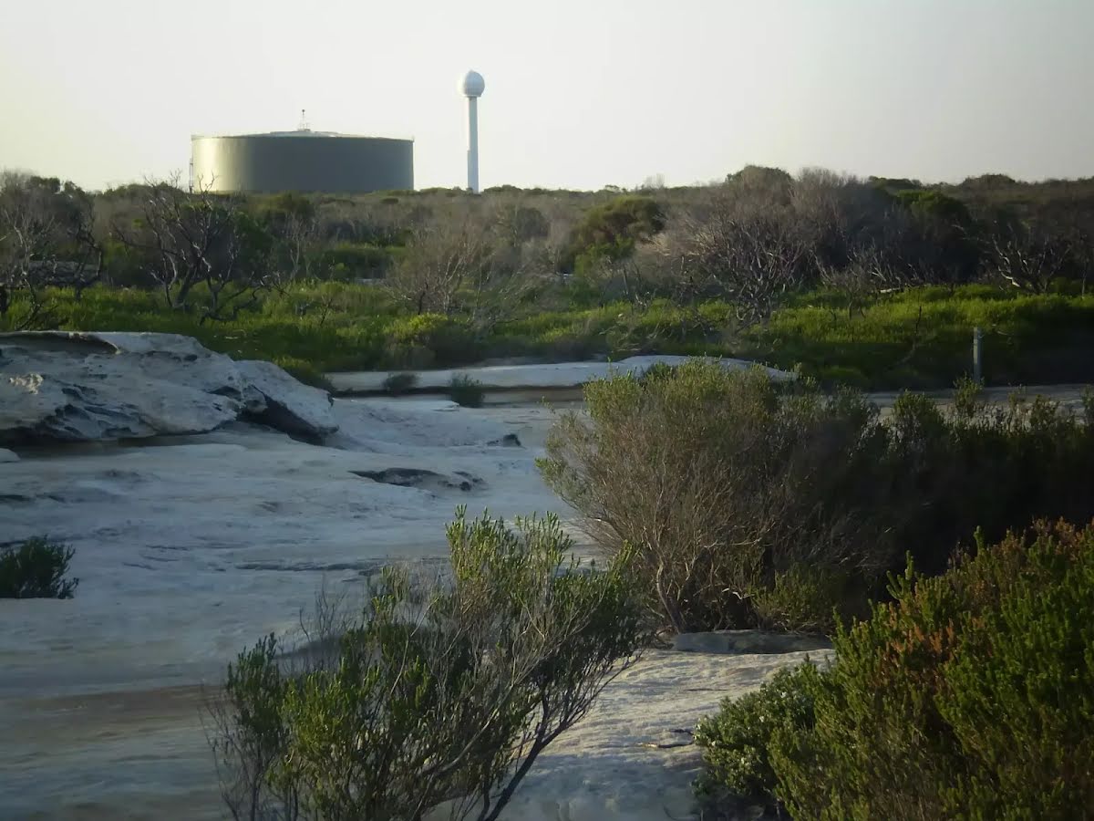
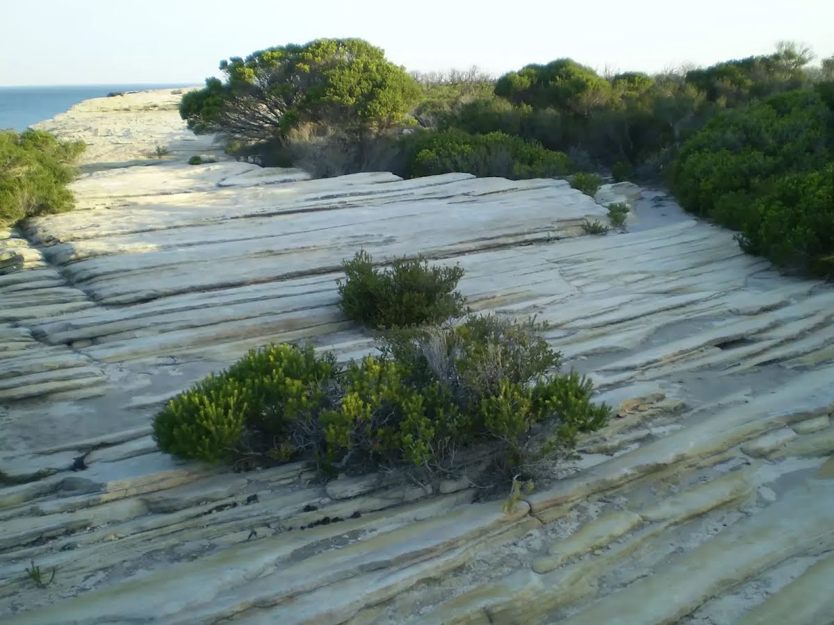
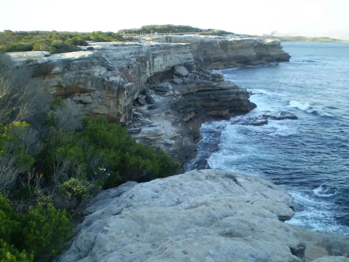
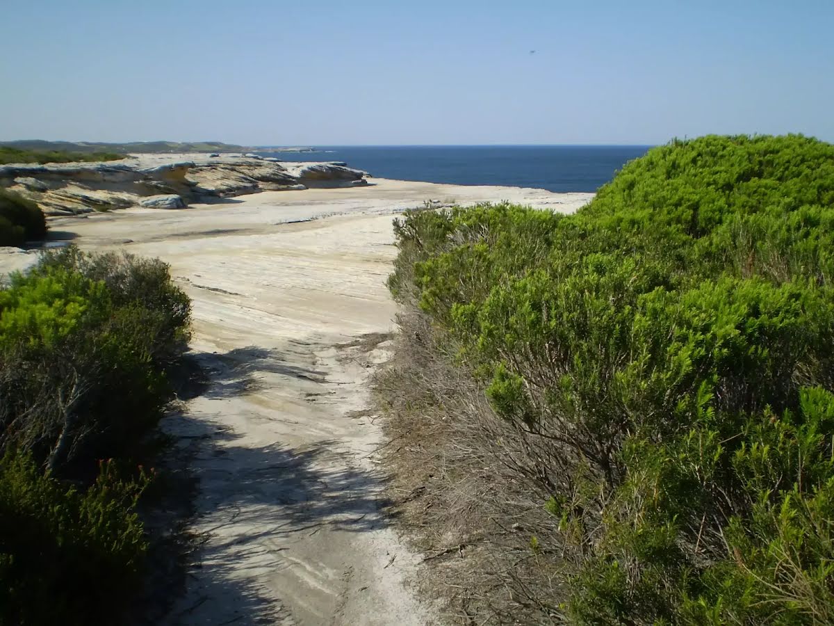
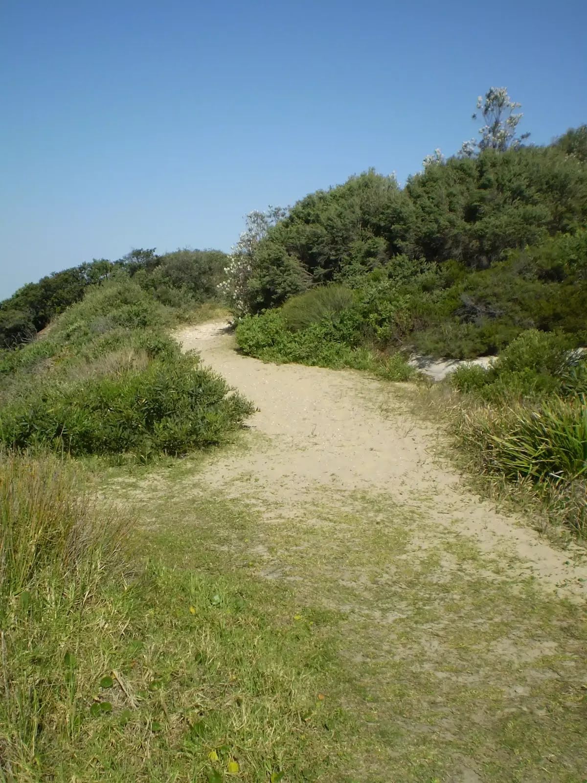
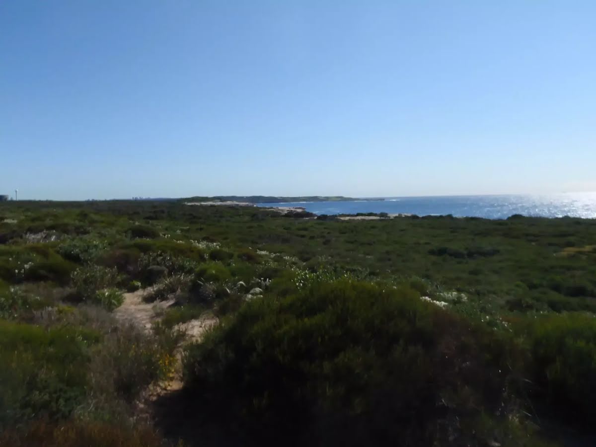
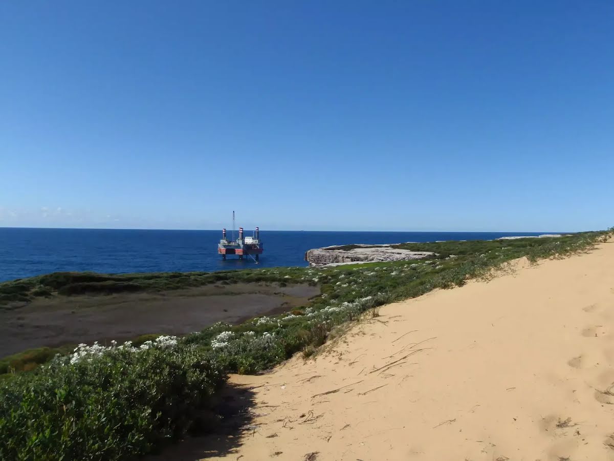
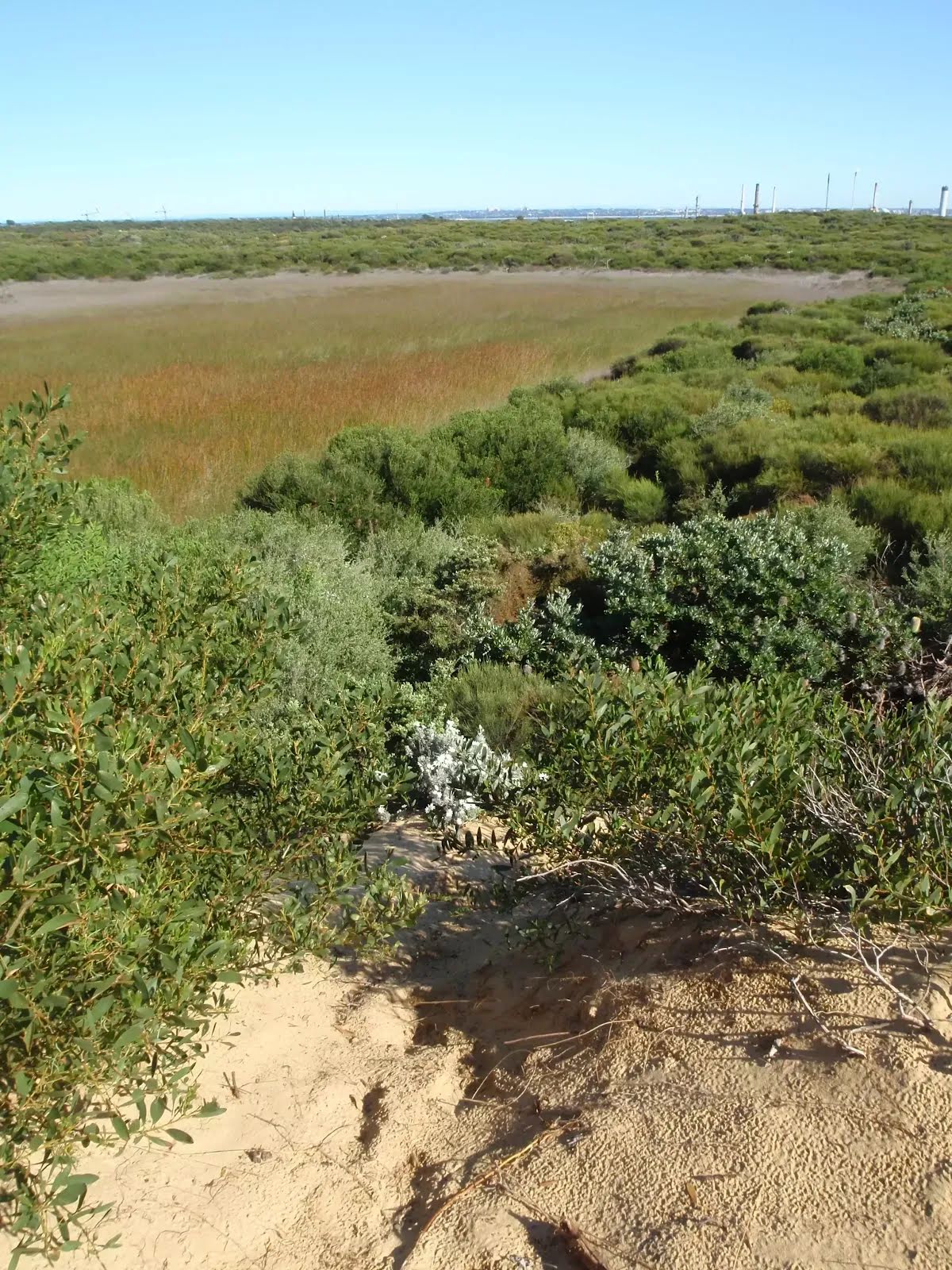
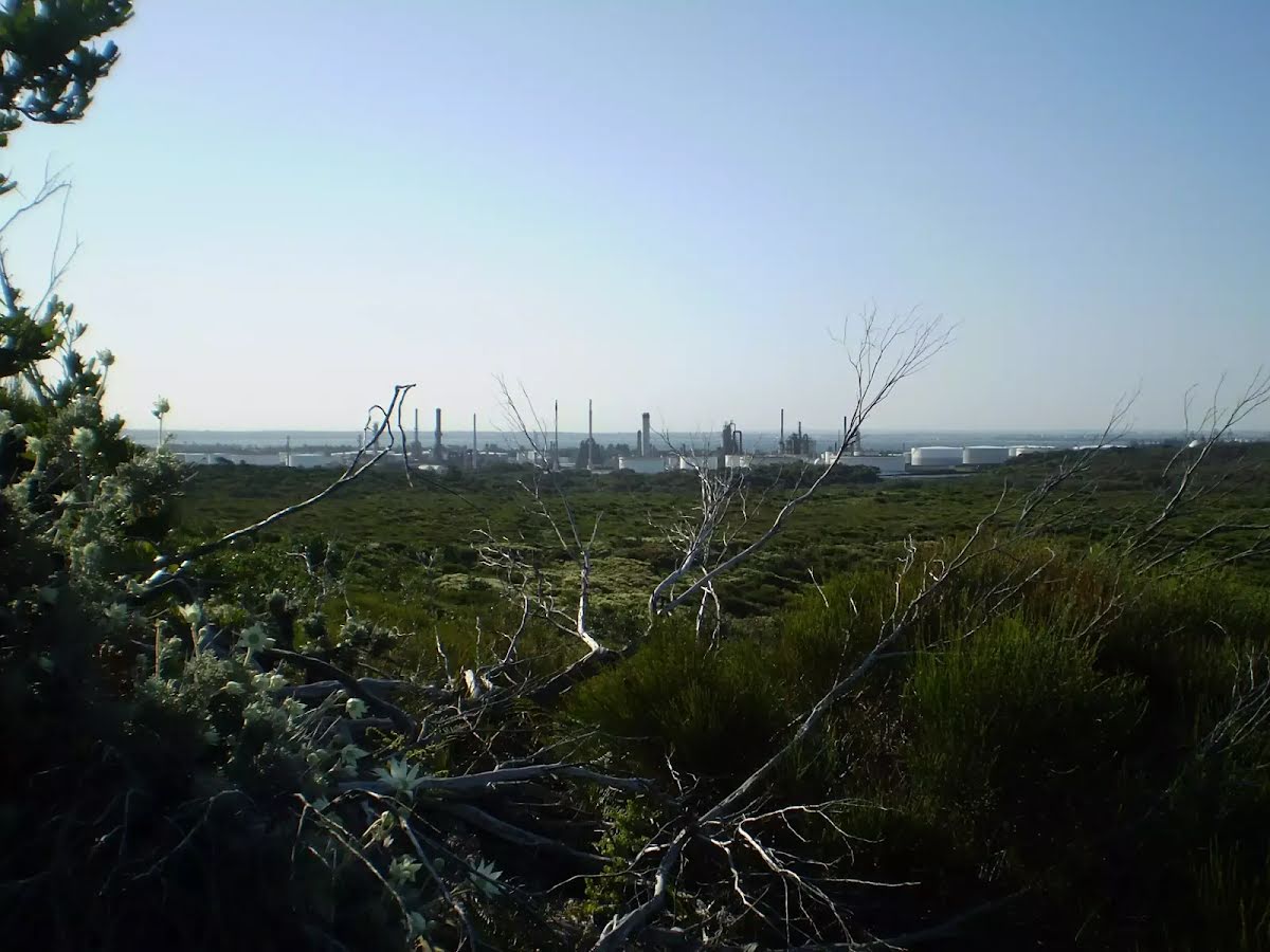
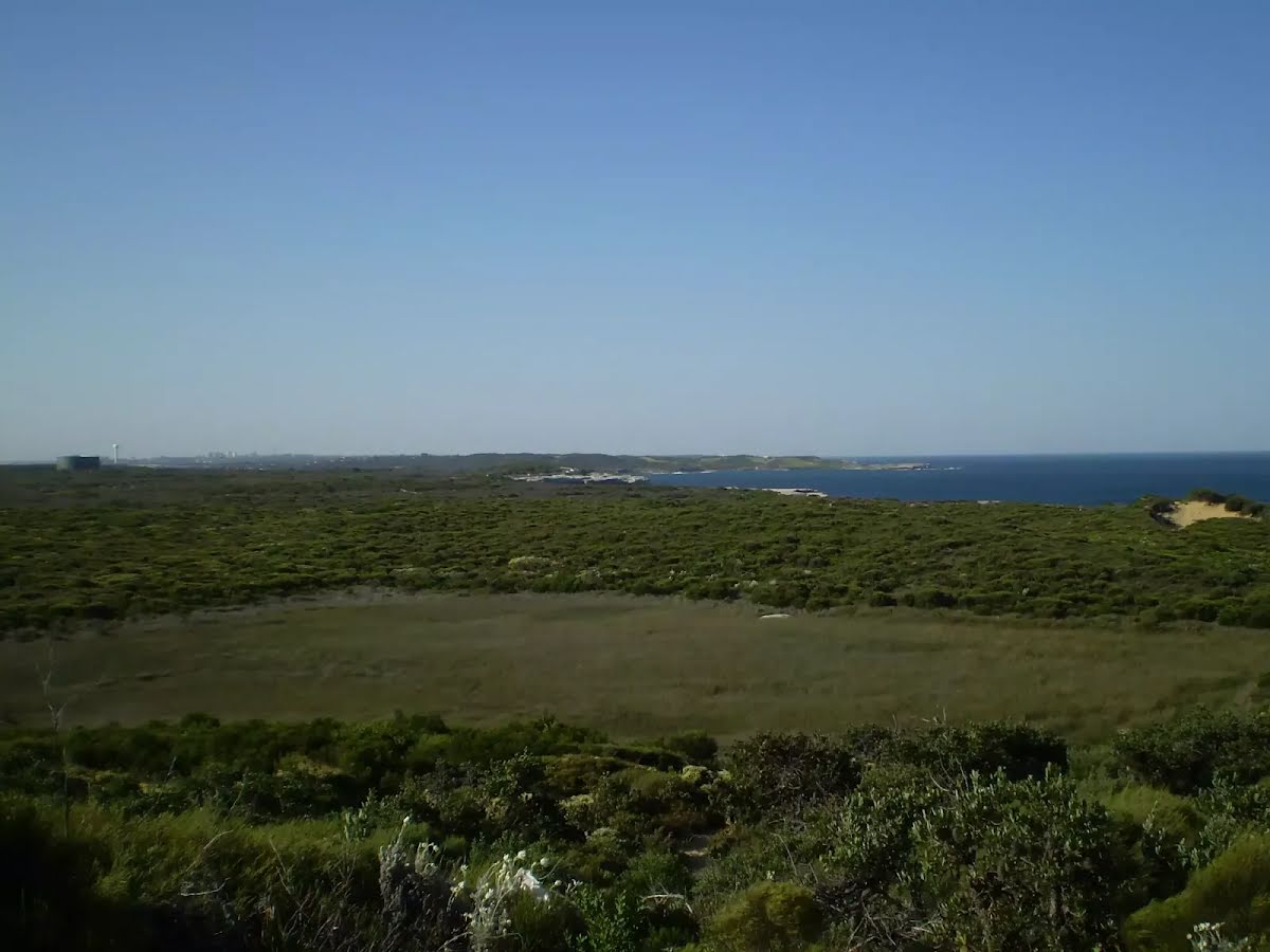
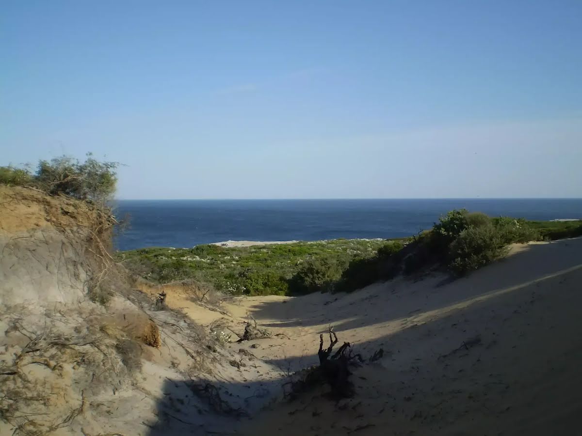
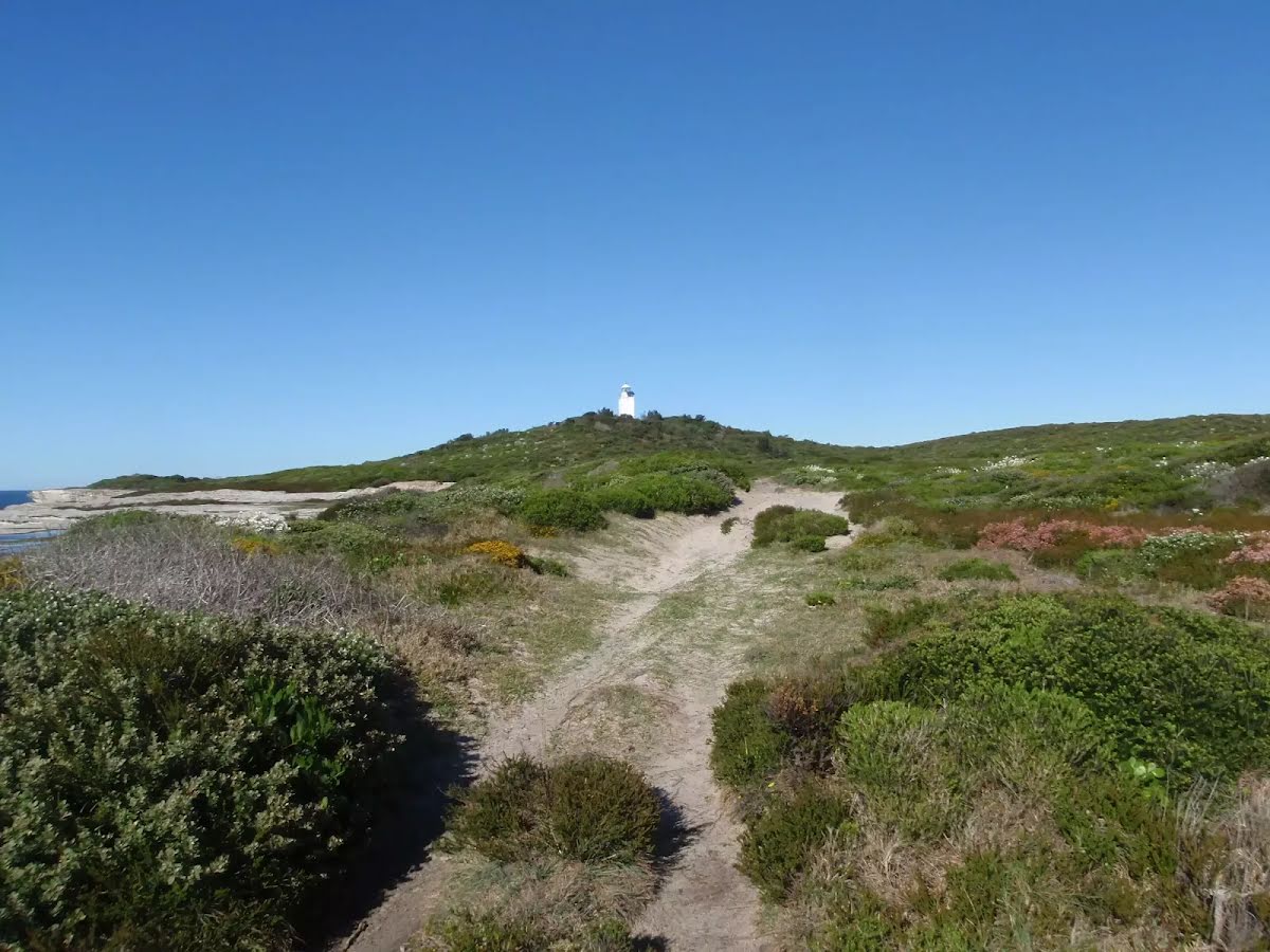
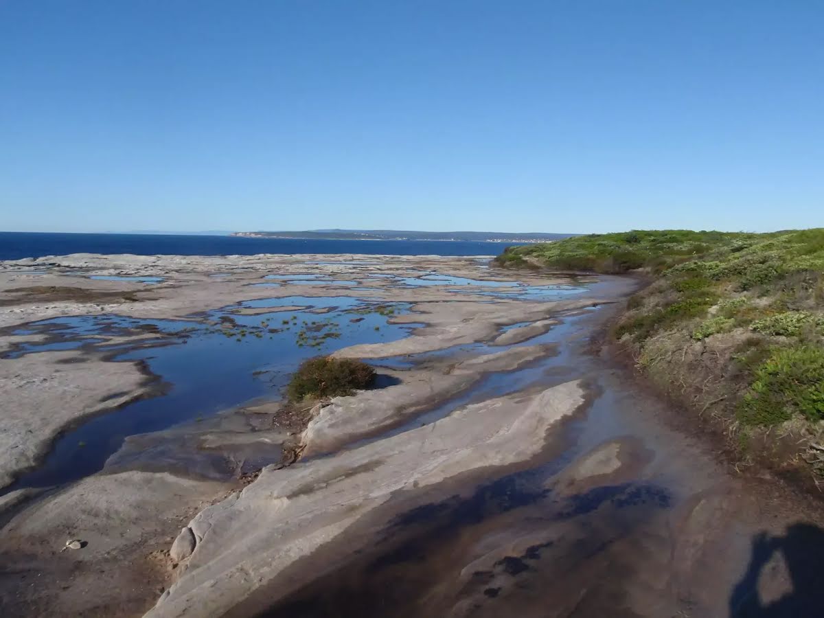
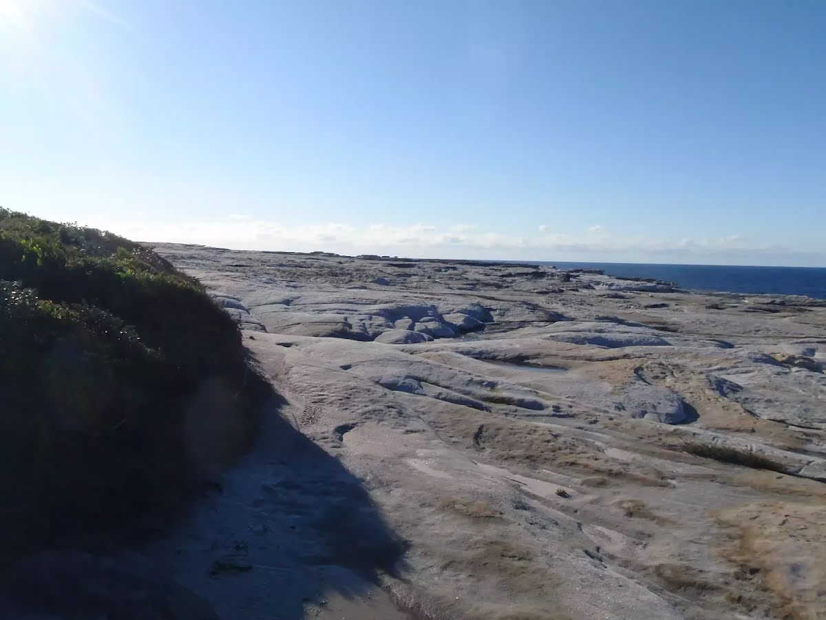
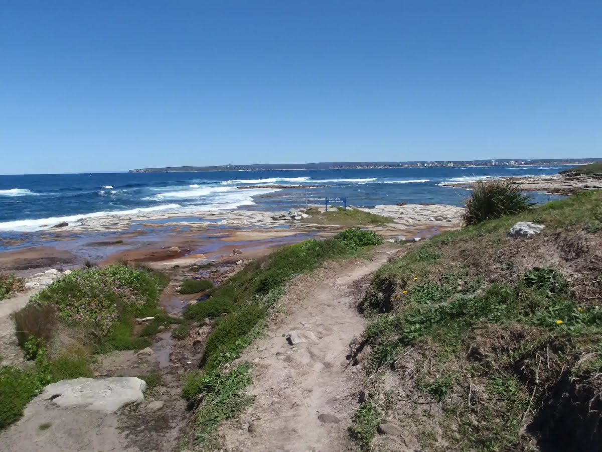
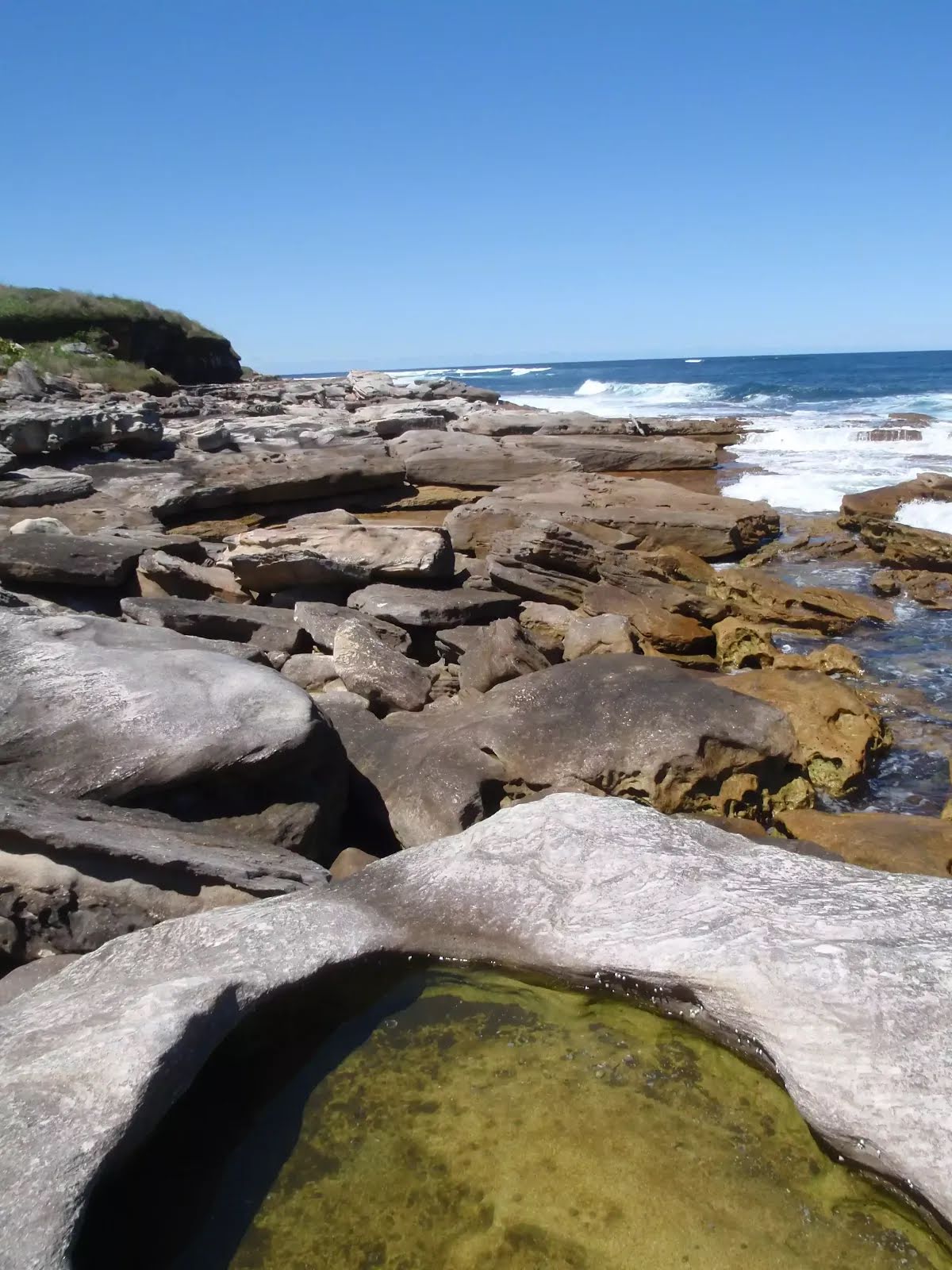
Closed areas: Kamay Botany Bay National Park - Access to Rock Shelves Closed due to Dangerous Weather and Surf Conditions.Kamay Botany Bay National Park - Access to all rock shelves across the park are closed due to dangerous weather and surf conditions.
Affected areas include (but not limited to):
- Bare Island
- Browns Rock
- Cape Banks
- Inscription Point
- The Leap
- Yena
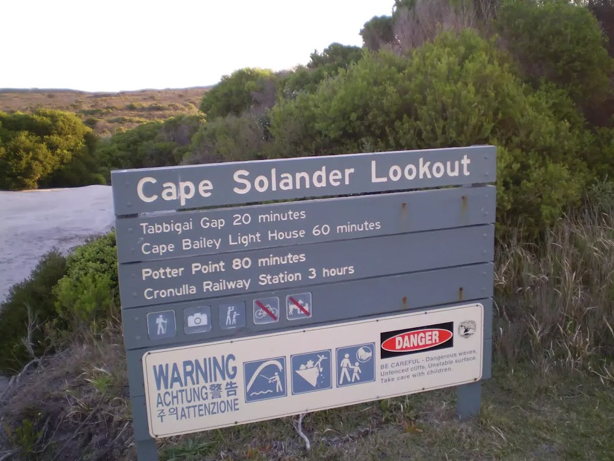
- Cape Solander (rock shelves)
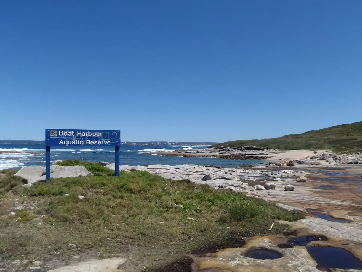
- Potter Point (rock shelves
Penalties apply for non-compliance. For more information, contact the local NPWS office.
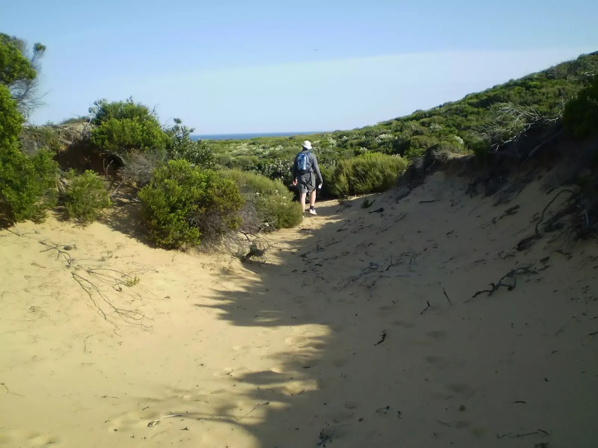
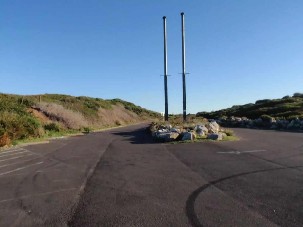
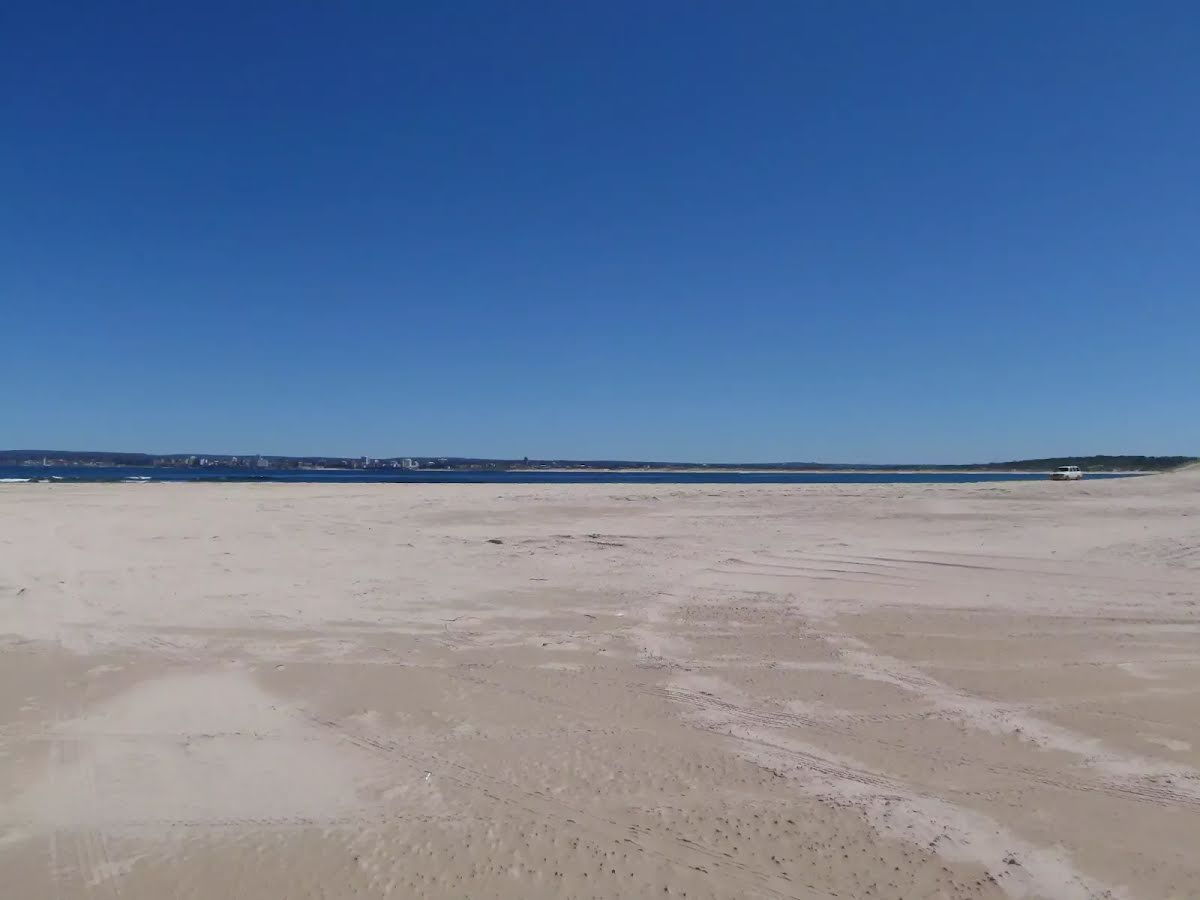
Other planned events: High visitation and limited parkingKamay Botany Bay National Park at Kurnell is experiencing very high visitation on weekends as it is a popular location to watch the northern whale migration. If planning to visit on the weekend, please expect large crowds, traffic delays and be aware that carparks can reach capacity by mid-morning and tend to stay full for the day. Please drive safely and watch for pedestrians. Park in marked bays only.
Penalties apply for non-compliance. For more information, contact the local park office.
Closed areas: Kurnell Visitor Centre closedKurnell Visitor Centre is currently closed and will remain closed until 2026. A new visitor centre is under construction. During construction works, the precinct, including parking, will be fenced off and work crews will be on site. Access to some walking tracks will be impacted. Please refer to onsite signage.
Parking and toilets will be available at Commemoration Flat.
To learn more about the improvements being made as part of the
Kamay 2020 Master Plan Project,
email or call the local area office on 02 9668 2010.
Closed areas: Works at Commemoration FlatServices and pathways at Commemoration Flat are being upgraded from October 2024 to 2026. The picnic area remains open with limited closures, as work areas are fenced off and work crews are on site.
The toilets and carpark will remain open, with a reduced number of parking spaces available. Access to some walking tracks will be impacted. Please refer to on-site signage.
To learn more about the improvements being made as part of the
Kamay 2020 Master Plan Project, send an
email or call the local area office on 02 9668 2010.
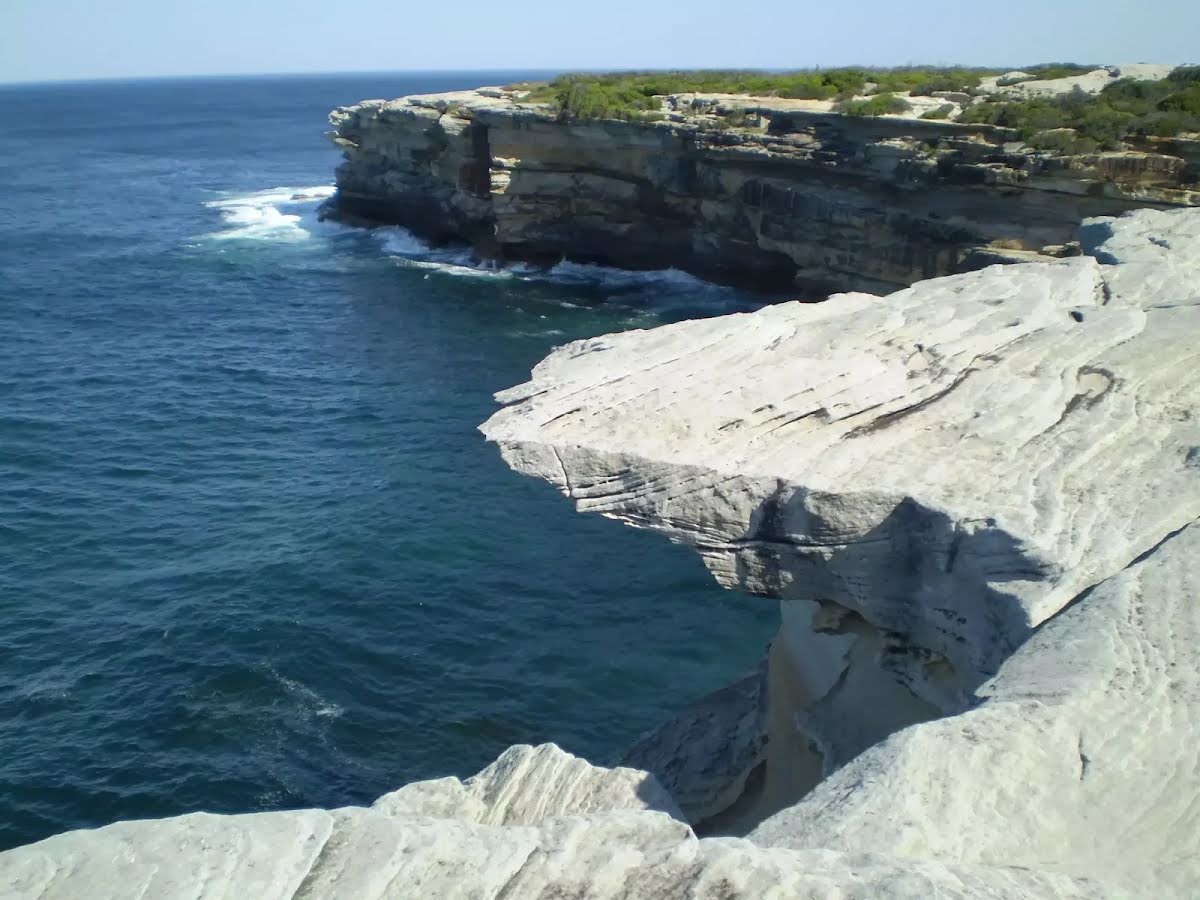
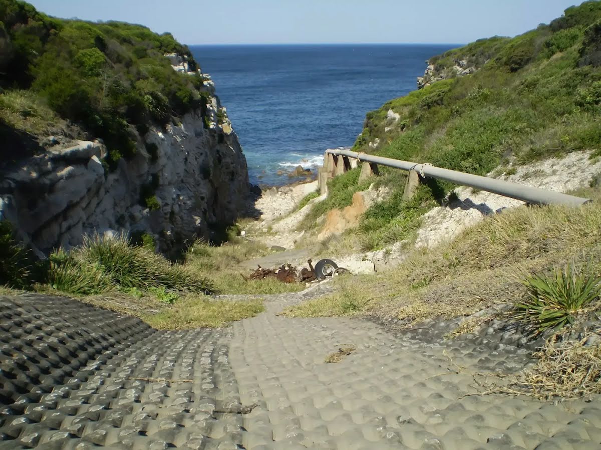
Closed areas: Skylight Cave permanently closedSkylight cave is permanently closed to visitors due to serious safety risks. The cave is midway down an unstable cliff, and the risk of falling off the cliff edge while trying to reach it makes it very dangerous.
There is no approved public access walking track to Skylight cave. Please do not risk your safety trying to reach this location.
Penalties apply for non-compliance. For more information, contact the local NPWS office.
Alert kindly provided by © NSW Nataional Parks and Wildlife Service