| Turn map |
Directions & comments |
|
|

Start.

After 75 m pass the toilet (10 m on your right).

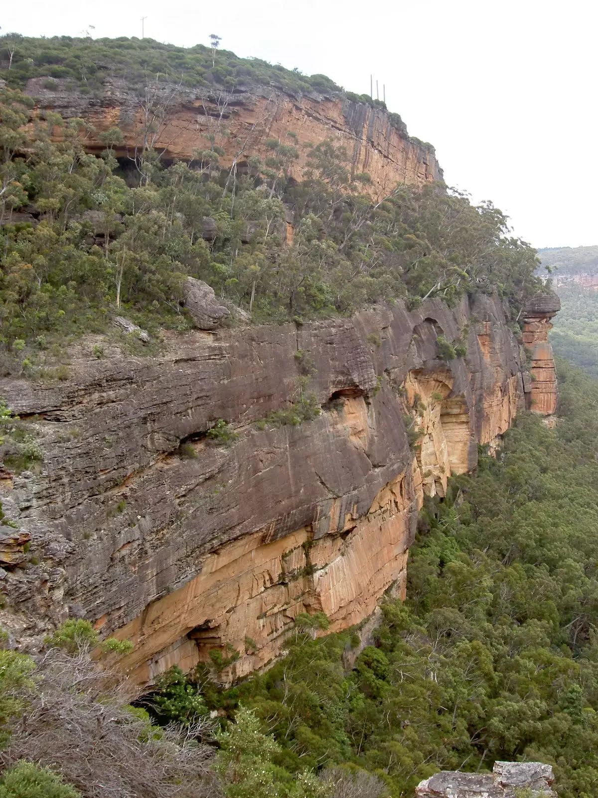
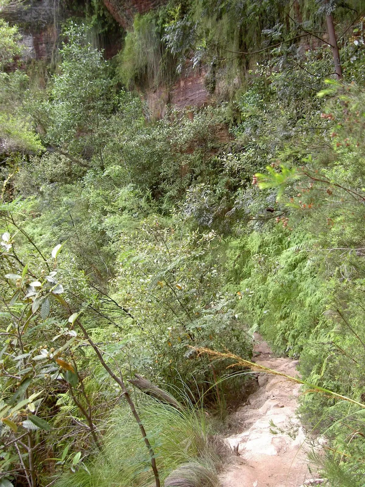
After another 1.1 km pass the waterfall (6 m on your right).
|
|
|

After another 8 m continue straight.
|
|
|

After another 40 m veer left.
|
|
|

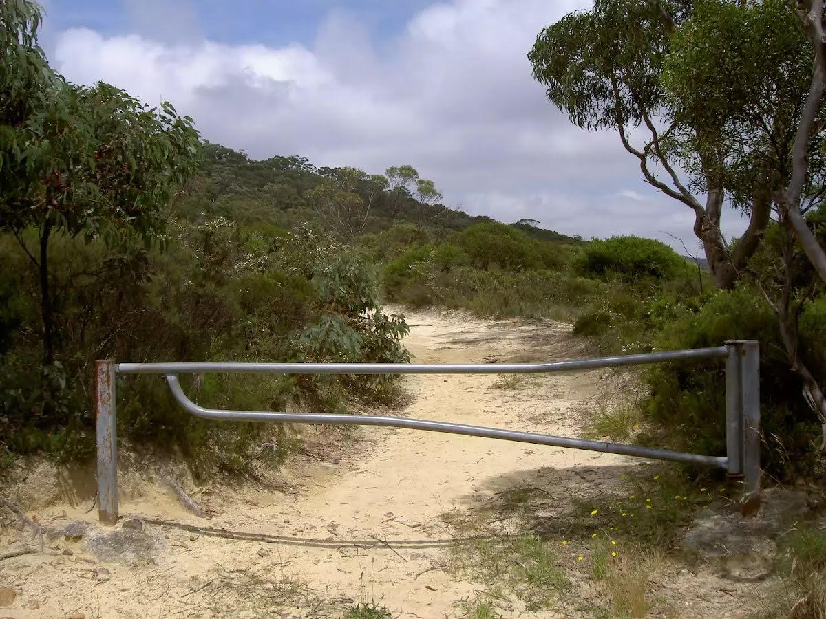
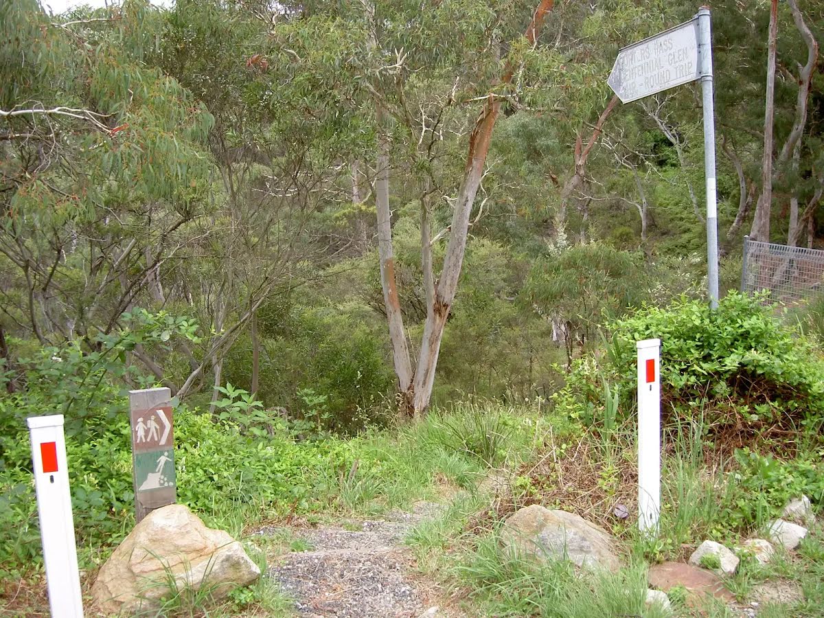
After another 100 m turn left.
|
|
|
The starting point of an optional sidetrip. An optional side trip to Centennial Glen Waterfall. To start this optional side trip turn sharp right here. On returning from this side trip continue straight when you get back to this intersection. Details below.
After another 15 m continue straight.
|
|
|
After another 150 m (at the intersection of Colliers Causeway & Centennial Pass) continue straight, to head along Colliers Causeway.

After another 65 m cross the ford.
|
|
|
After another 1.3 km (at the intersection of Colliers Causeway & Centennial Pass) continue straight, to head along Colliers Causeway.
|
|
|
After another 260 m continue straight, to head along Porters Pass.
|
|
|
After another 360 m continue straight, to head along Porters Pass.
After another 80 m continue straight, to head along Porters Pass.
|
|
|
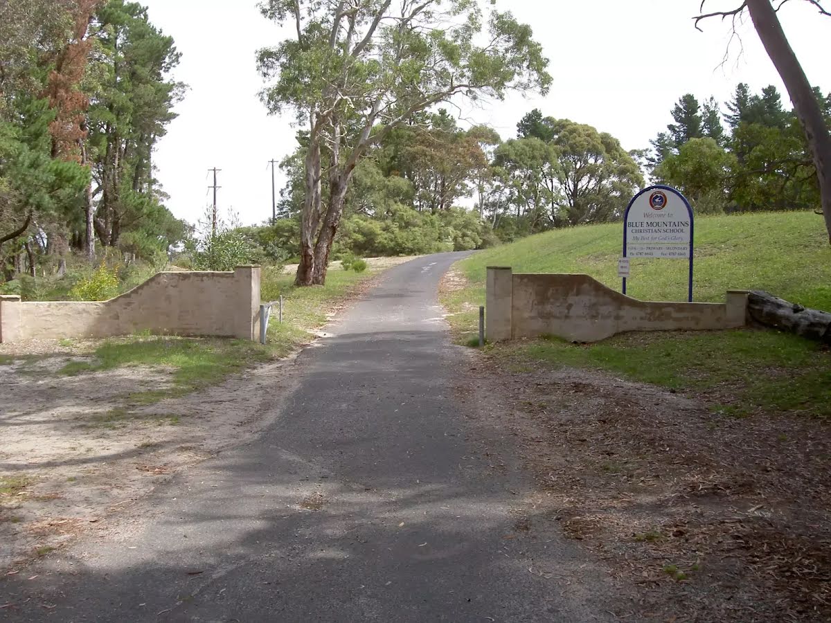
After another 115 m (at the intersection of Porters Pass & Burton Road) continue straight, to head along Burton Road (a residential road).
|
|
|

After another 175 m (at the intersection of Kanimbla Road & Burton Road) turn right, to head along Kanimbla Road.
After another 35 m (at the intersection of Kanimbla Road & Wombat Street) continue straight, to head along Kanimbla Road.
After another 60 m (at the intersection of Cecil Road & Kanimbla Road) continue straight, to head along Kanimbla Road.
After another 100 m (at the intersection of Kanimbla Road & Thirroul Avenue) continue straight, to head along Kanimbla Road.
After another 40 m (at the intersection of Kanimbla Road & Thirroul Avenue) continue straight, to head along Kanimbla Road.
After another 460 m continue straight.
After another 40 m continue straight.
|
|
|
After another 260 m continue straight.

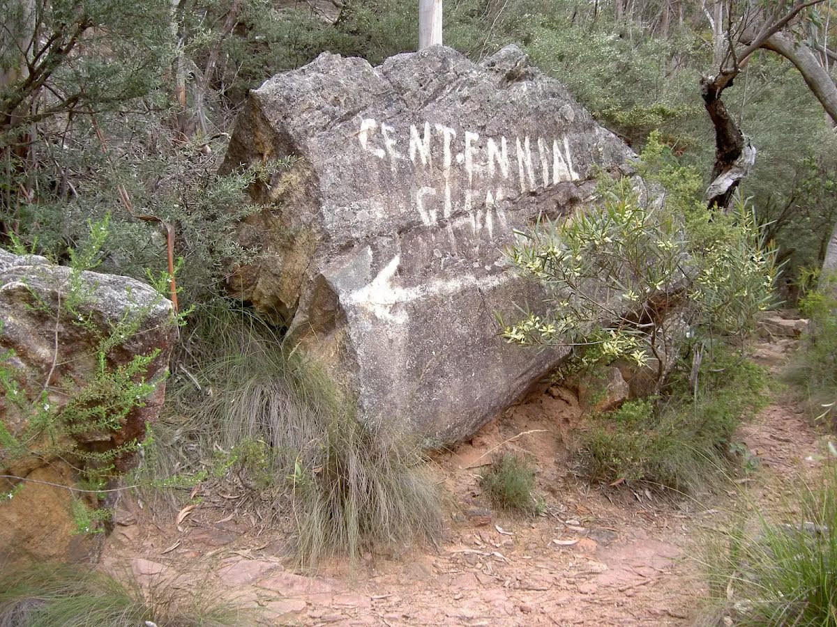
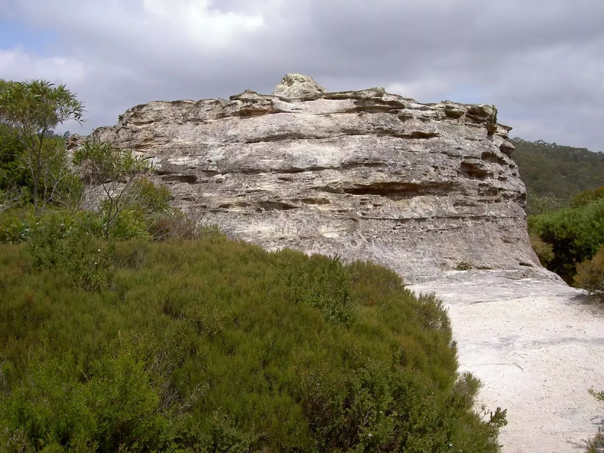
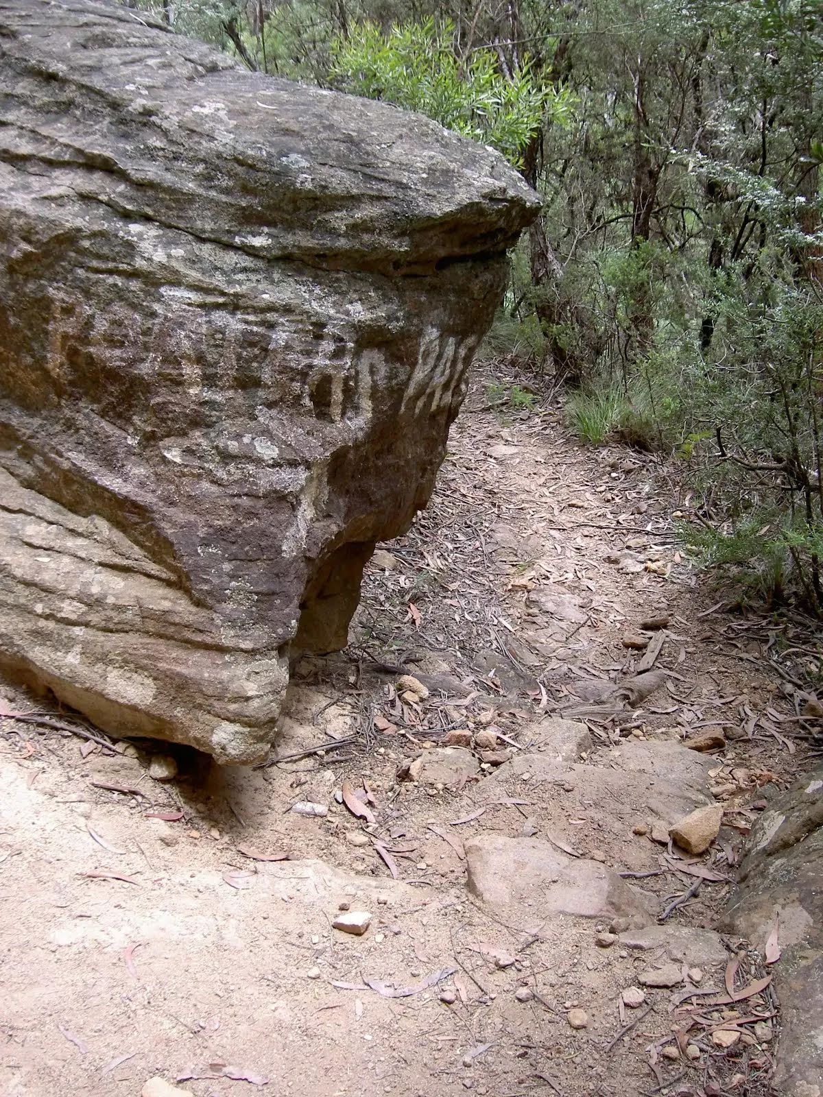
After another 25 m find the "Fort Rock" (9 m on your left).
|
|
|

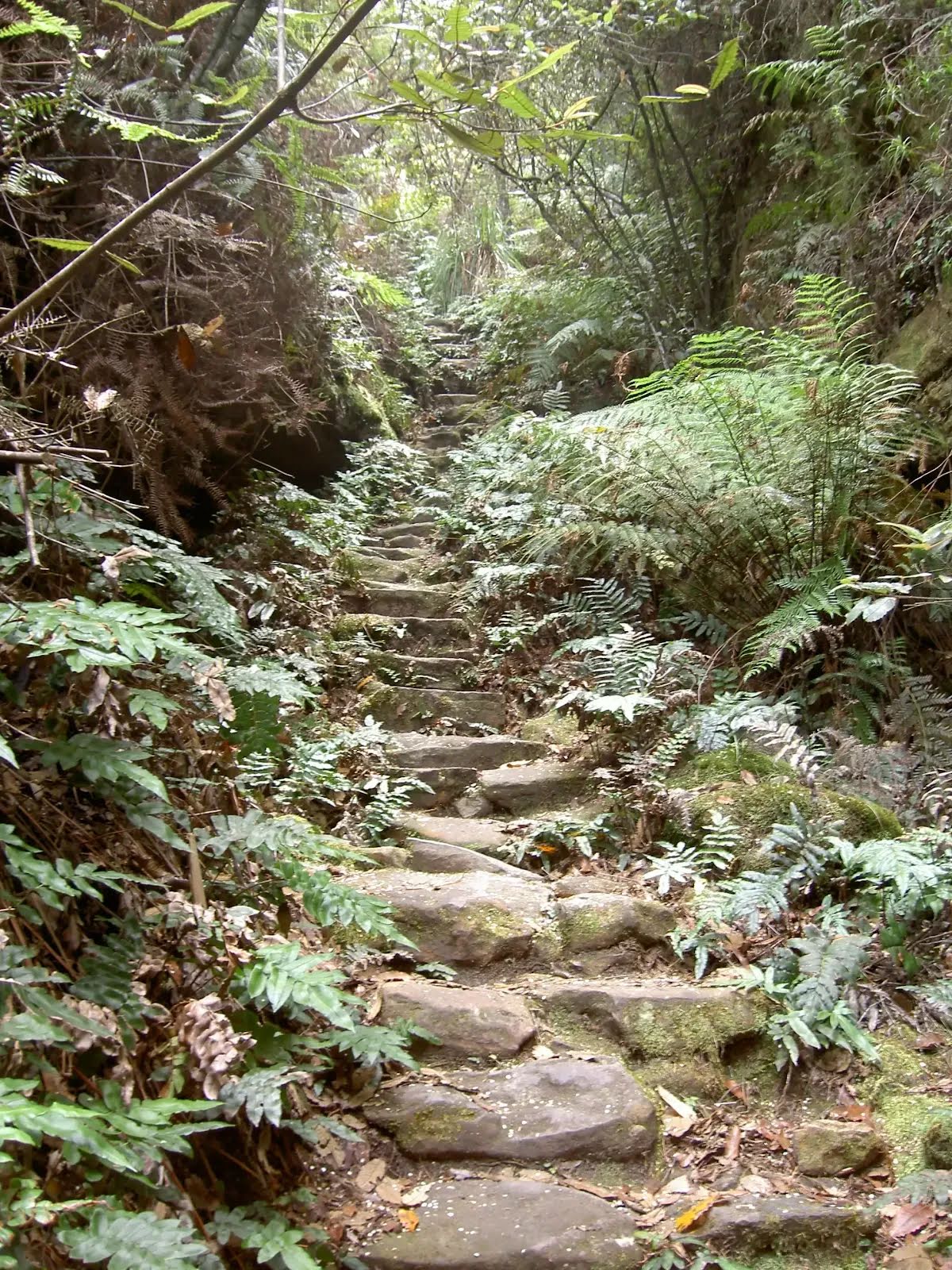
After another 100 m turn sharp right, to head along Centennial Glen Track.
After another 210 m head into the park.
|
|
|
After another 360 m continue straight, to head along Walls Ledge Loop Track.
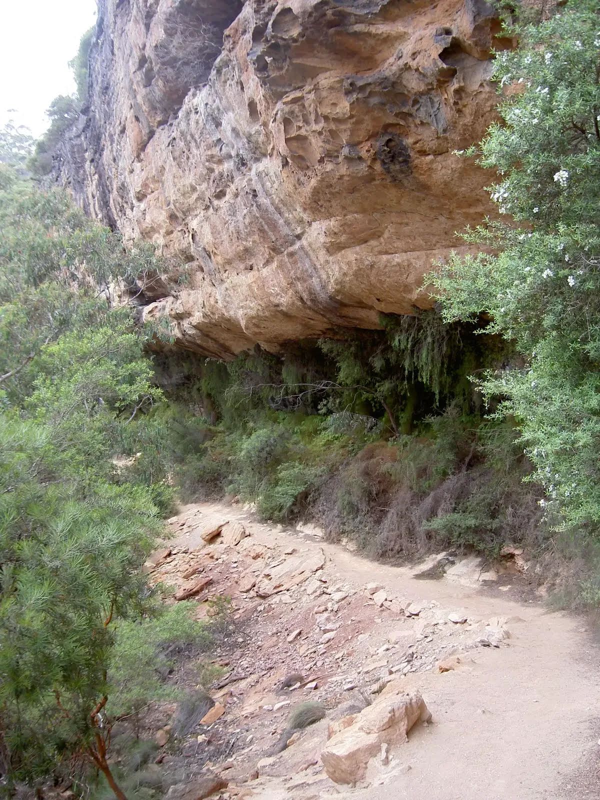
After another 10 m pass the waterfall (40 m on your right).
After another 80 m continue straight, to head along Walls Ledge Loop Track.
|
|
|
After another 40 m turn left.
|
|
|
After another 255 m turn left.
|
|
|

After another 10 m come to the end.

About 15 m past the end is a car park.
|
An optional side trip to Centennial Glen Waterfall.