Closed areas: Somersby Falls walking track closed for upgradeSomersby Falls walking track, including access to the middle and bottom waterfalls will be closed from 30 June to 10 October 2025 while the track is upgraded.
The picnic area and carpark will remain open during the works.
Consider visiting the nearby
Girrakool picnic area less than 5 minutes away which also has waterfalls, walking tracks and a well established picnic area.
Penalties apply for non-compliance. For more information, contact the local NPWS Central Coast Area Office on 02 4320 4200.
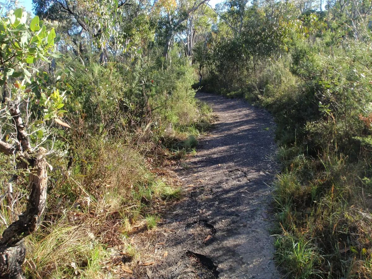
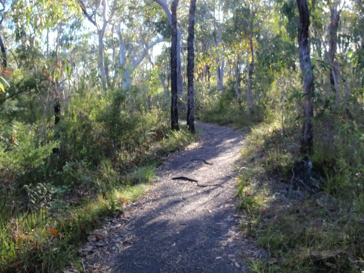
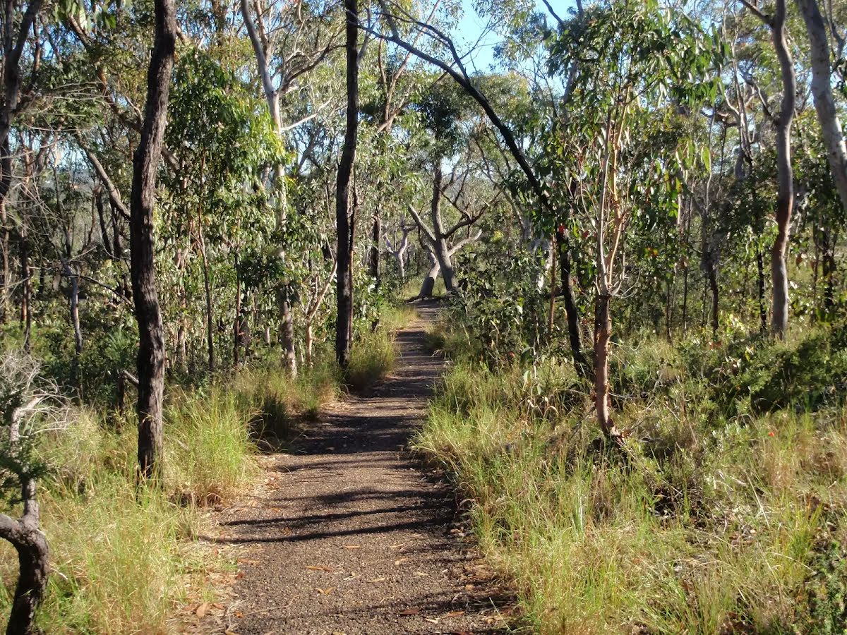
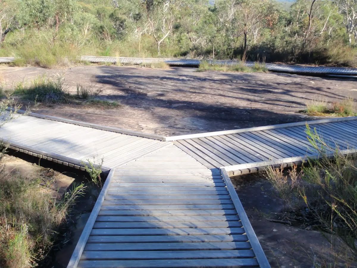
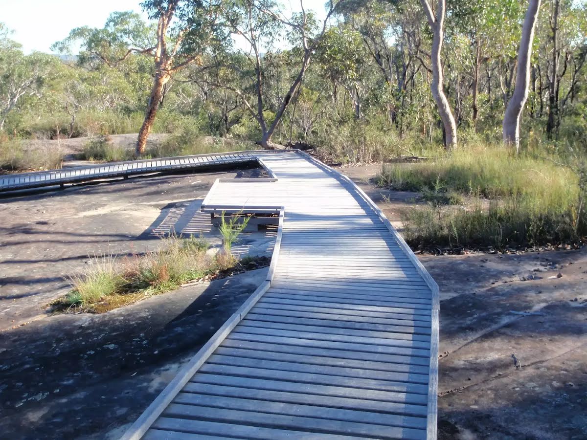
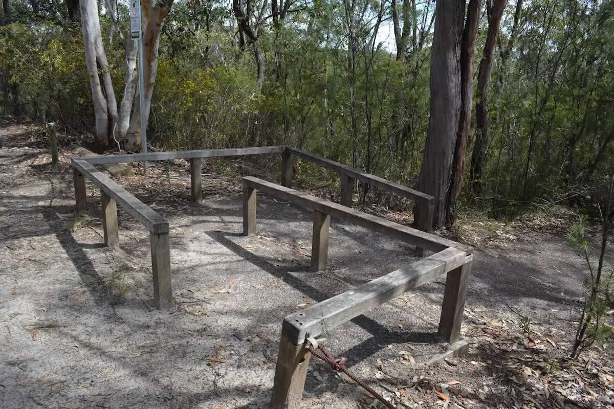
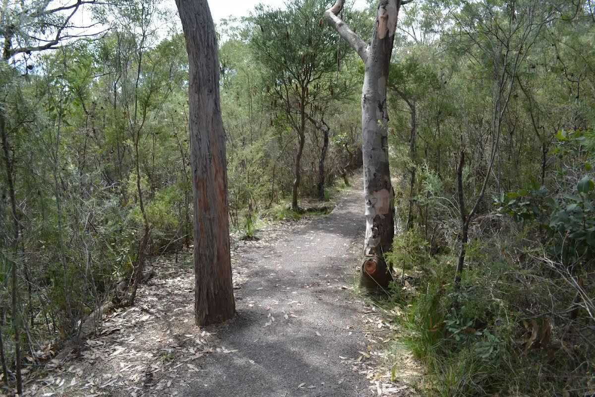
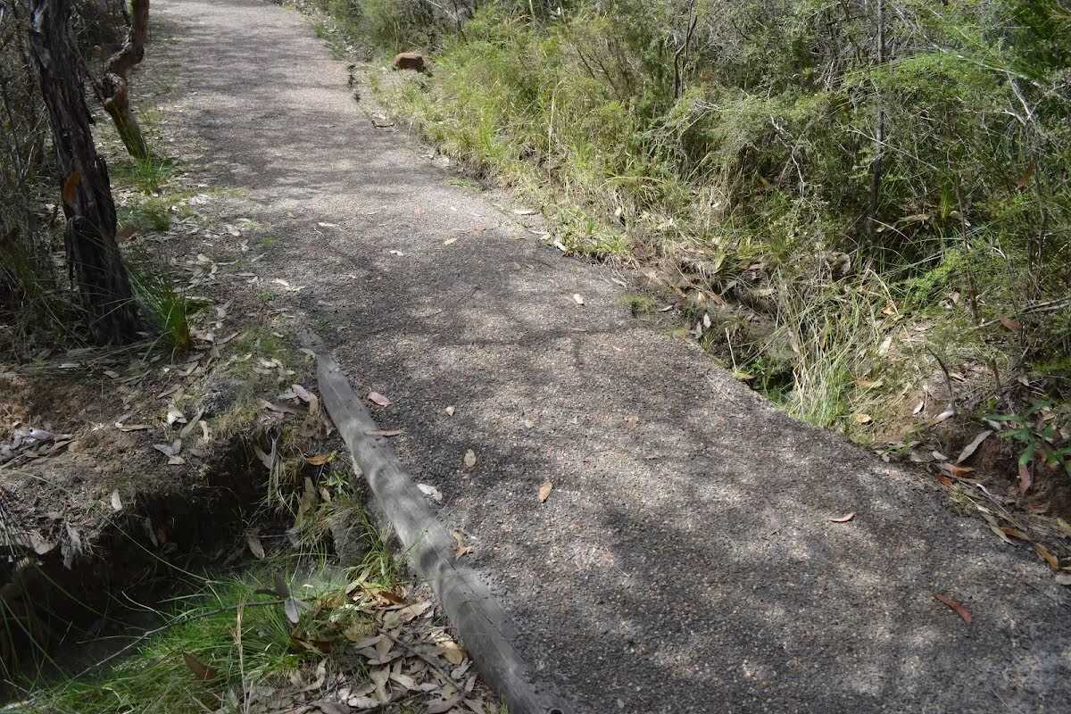
Closed areas: Partial closure Piles Creek Loop Walking TrackPart of Piles Creek Loop Walking Track is closed while rockfall investigations and mitigation works are undertaken.
The closed area is between the suspension bridge and Bundilla Lookout on the western side of Piles Creek.
Areas that will remain open are:
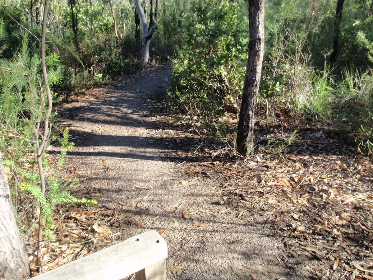
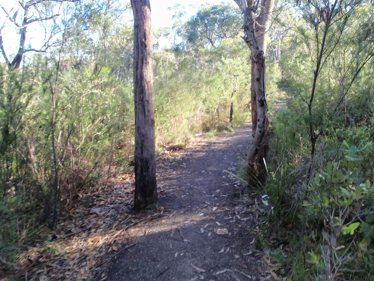
- Piles Creek Loop Walking Track on the eastern side of Piles Creek
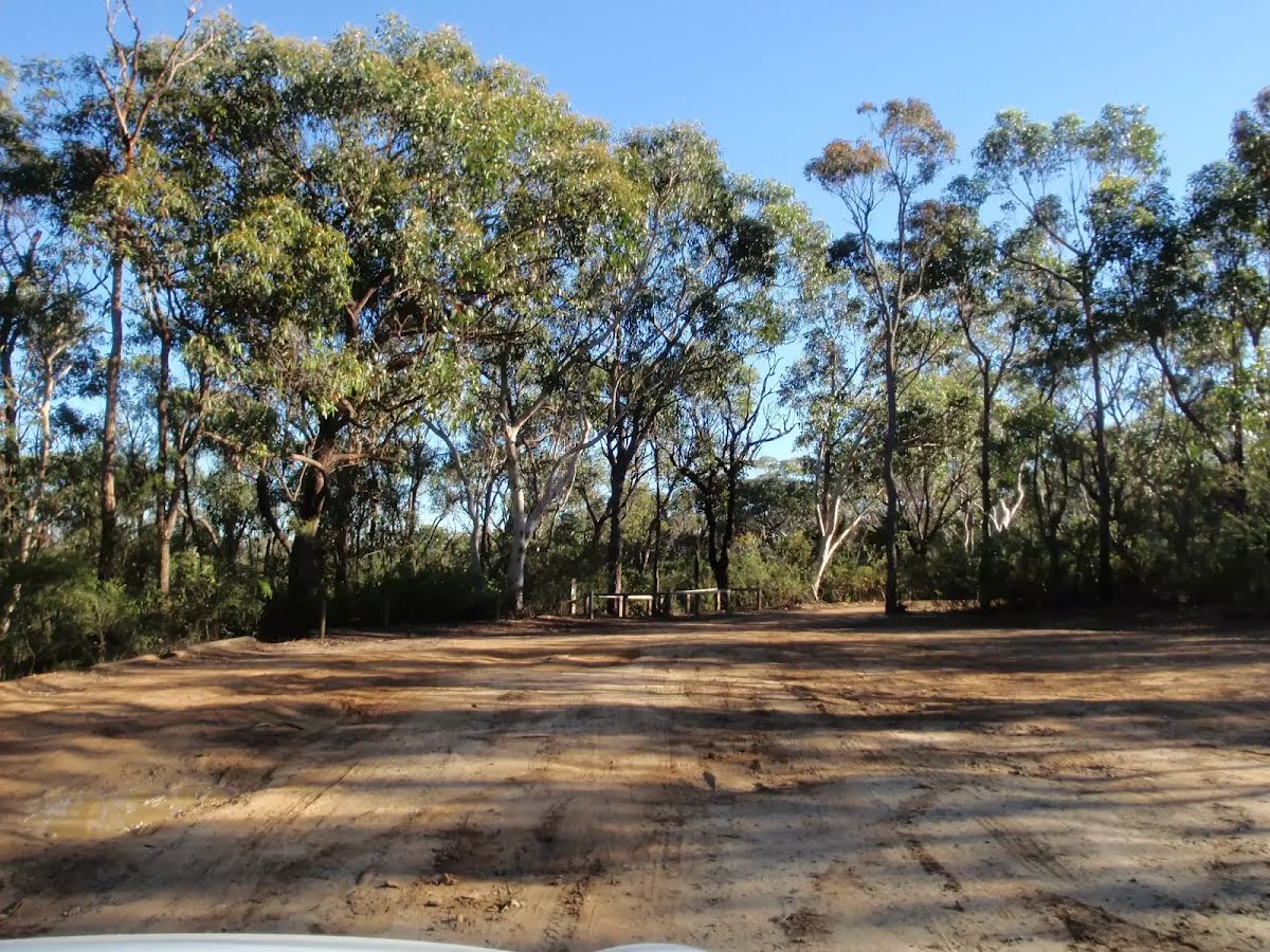
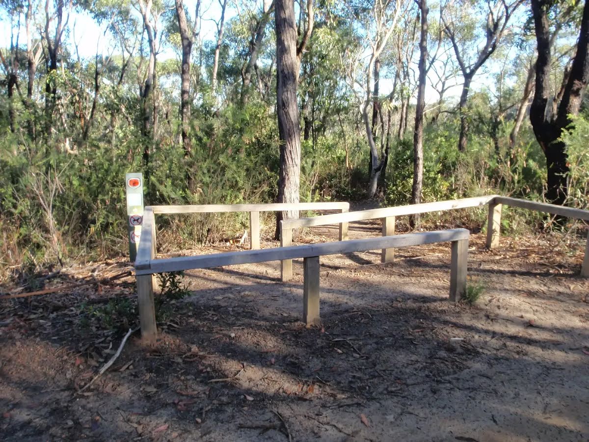
- Access to the Great North Walk from Girrakool Picnic Area
- Bundilla Lookout
Barriers and signage are in place around the closed area.
Penalties apply for non-compliance. For more information, contact the local NPWS office on 02 4320 4200.
Closed areas: Brieses fire trail partial closureThe section of Brieses fire trail between Mooney Mooney Creek and Old Mooney Dam trail is closed until further notice due to a landslip, making it unsafe for vehicles.
Signs are in place around closed areas. This area will re-open as soon as it is safe and repair works have been completed.
Penalties apply for non-compliance. For more information, contact the local NPWS office on 02 4320 4200.
Closed areas: Warrah Trig Road closed to vehiclesWarrah Trig Road is closed to vehicles due to an increase in illegal activities throughout the area.
The road will remain closed until investigations are completed and further recommendations are made.
The road is open to pedestrians and cyclists.
Penalties apply for non-compliance. For more information, contact the local NPWS office.
Alert kindly provided by © NSW Nataional Parks and Wildlife Service