


| Start | At the intersection of Ironbark Road & Pipeline Trail (-33.3715915,151.1953003) |
| Mode | Car (There is free parking available.) |
| Directions | From Pacific Motorway, M1
|
| Turn map | Directions & comments |
|---|---|
 |
|
 |
|
 |
|
 |
|
 |
|
 |
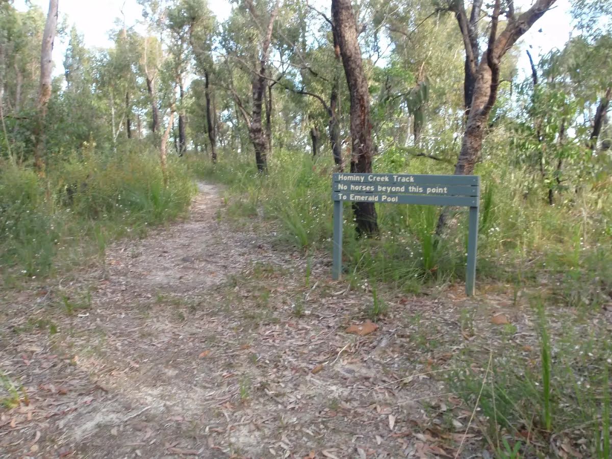
The starting point of an optional sidetrip. An optional side trip to End of 248 Trail. To start this optional side trip veer right here. On returning from this side trip error >360 when you get back to this intersection. Details below.
|
 |
|
 |
|
 |
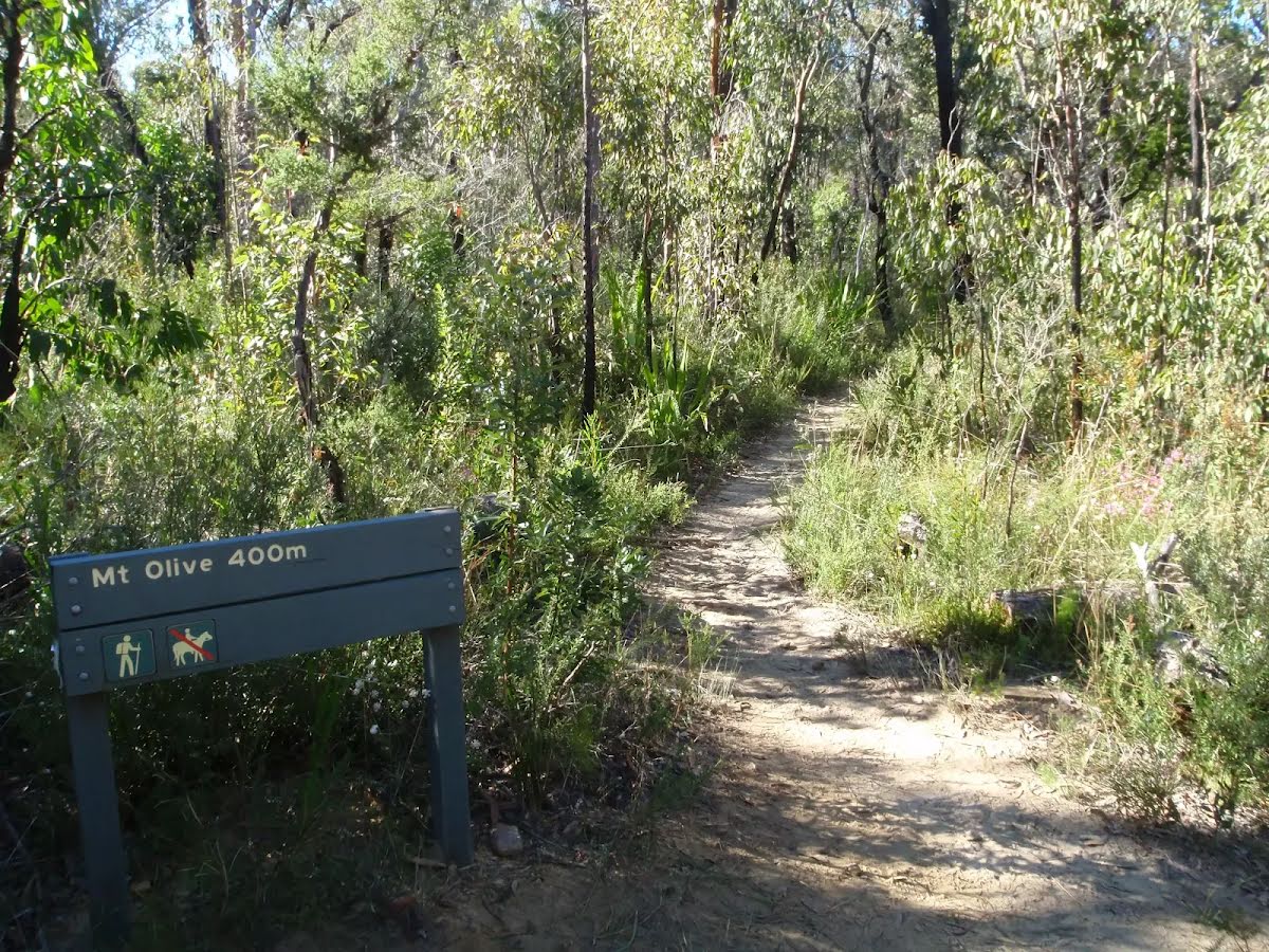
The starting point of an optional sidetrip. An optional side trip to Top of Mt Olive. To start this optional side trip turn right here. On returning from this side trip veer right when you get back to this intersection. Details below.
|
 |
|
 |
|
 |
| Turn map | Directions & comments |
|---|---|
 |
|
 |
|
 |
|
 |

|
|
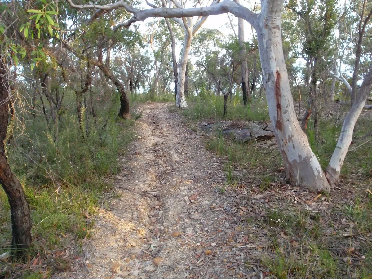
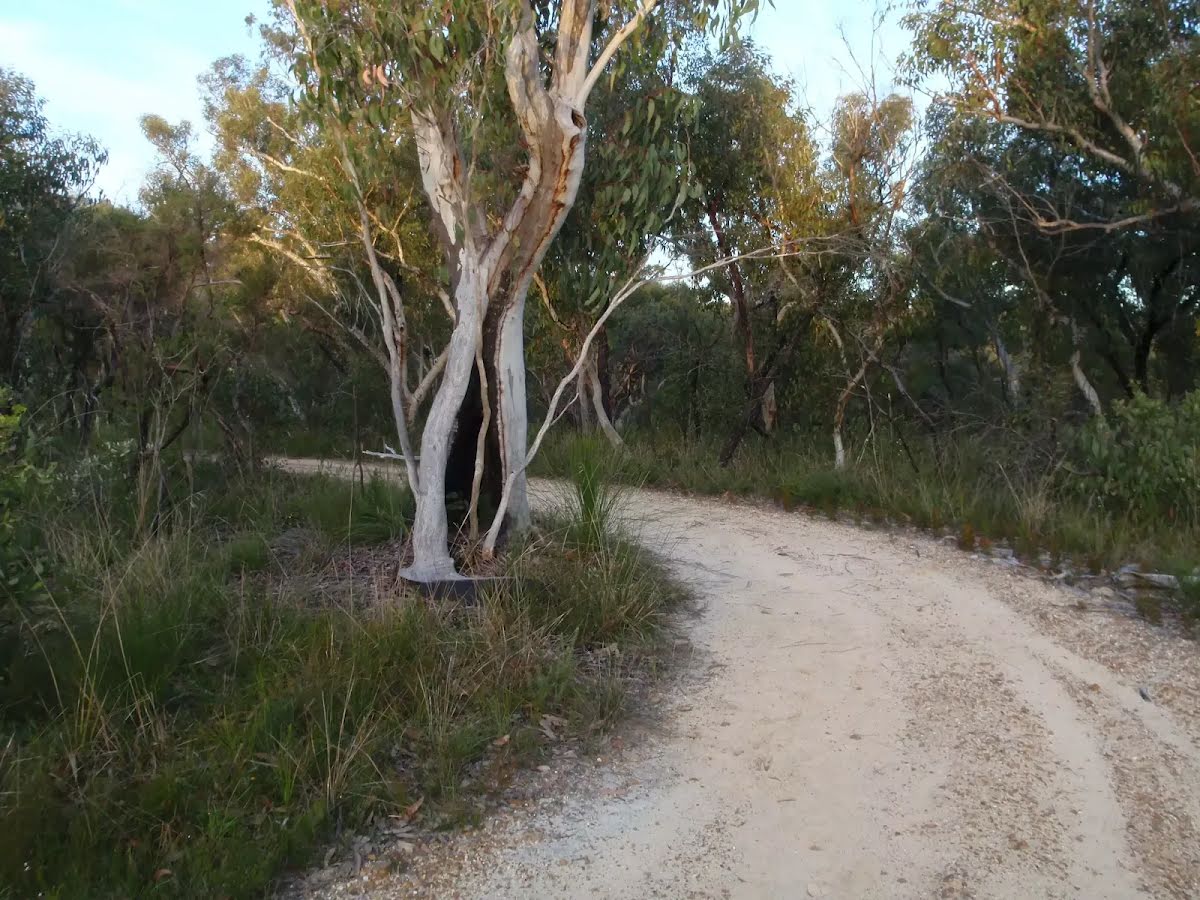
Class 4/6 Hard track |
|---|---|
| Length | 10.6 km |
| Time | 3 h 45 min to 4 h 15 min |
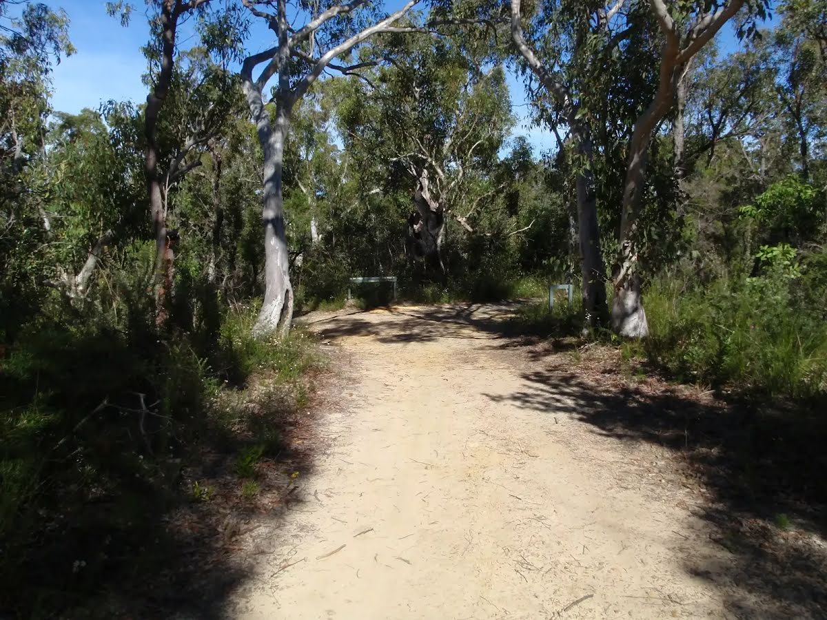
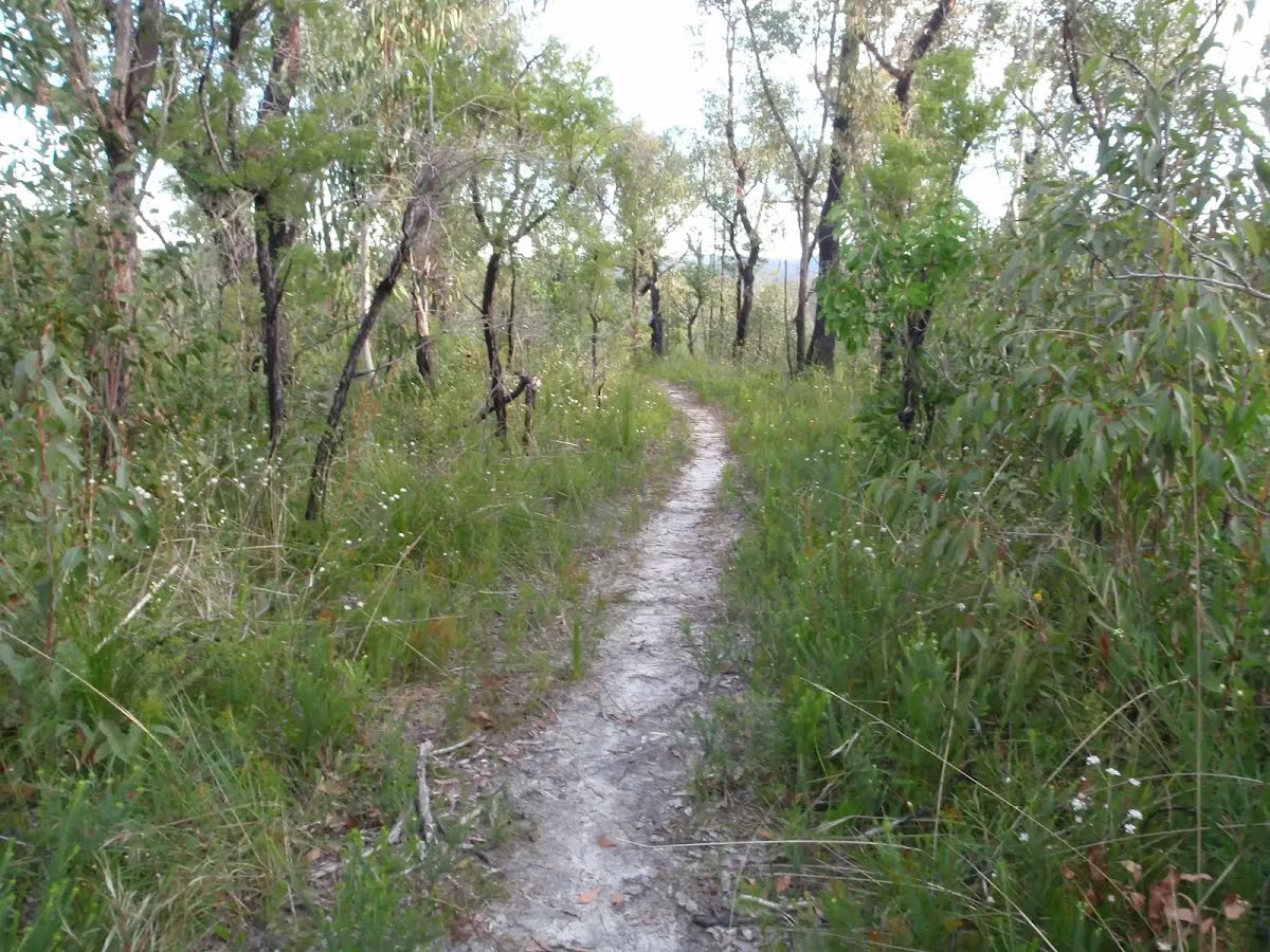
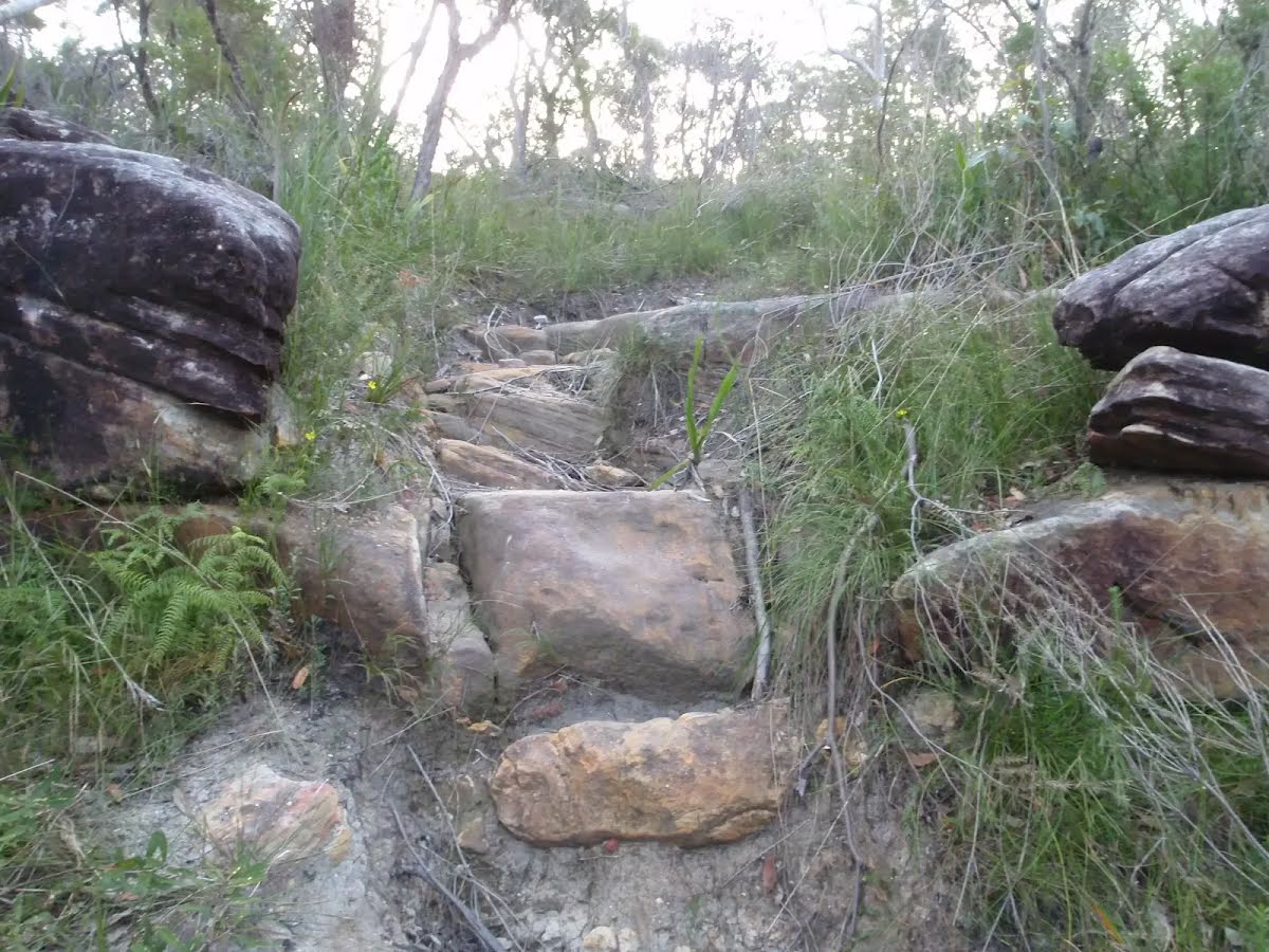
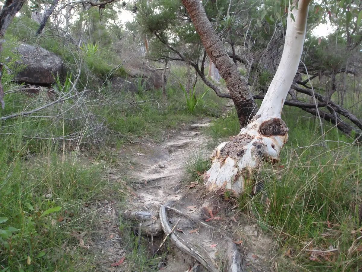
| Quality of track | Rough track, where fallen trees and other obstacles are likely (4/6) |
| Gradient | Very steep (4/6) |
| Signage | Directional signs along the way (3/6) |
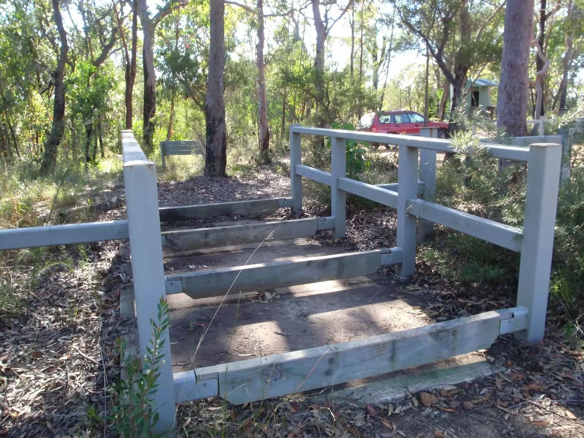
| Infrastructure | Limited facilities, not all cliffs are fenced (3/6) |
| Experience Required | Some bushwalking experience recommended (3/6) |
| Weather | Storms may impact on navigation and safety (3/6) |
| Item | From Start | Name & link to notes |
|---|---|---|
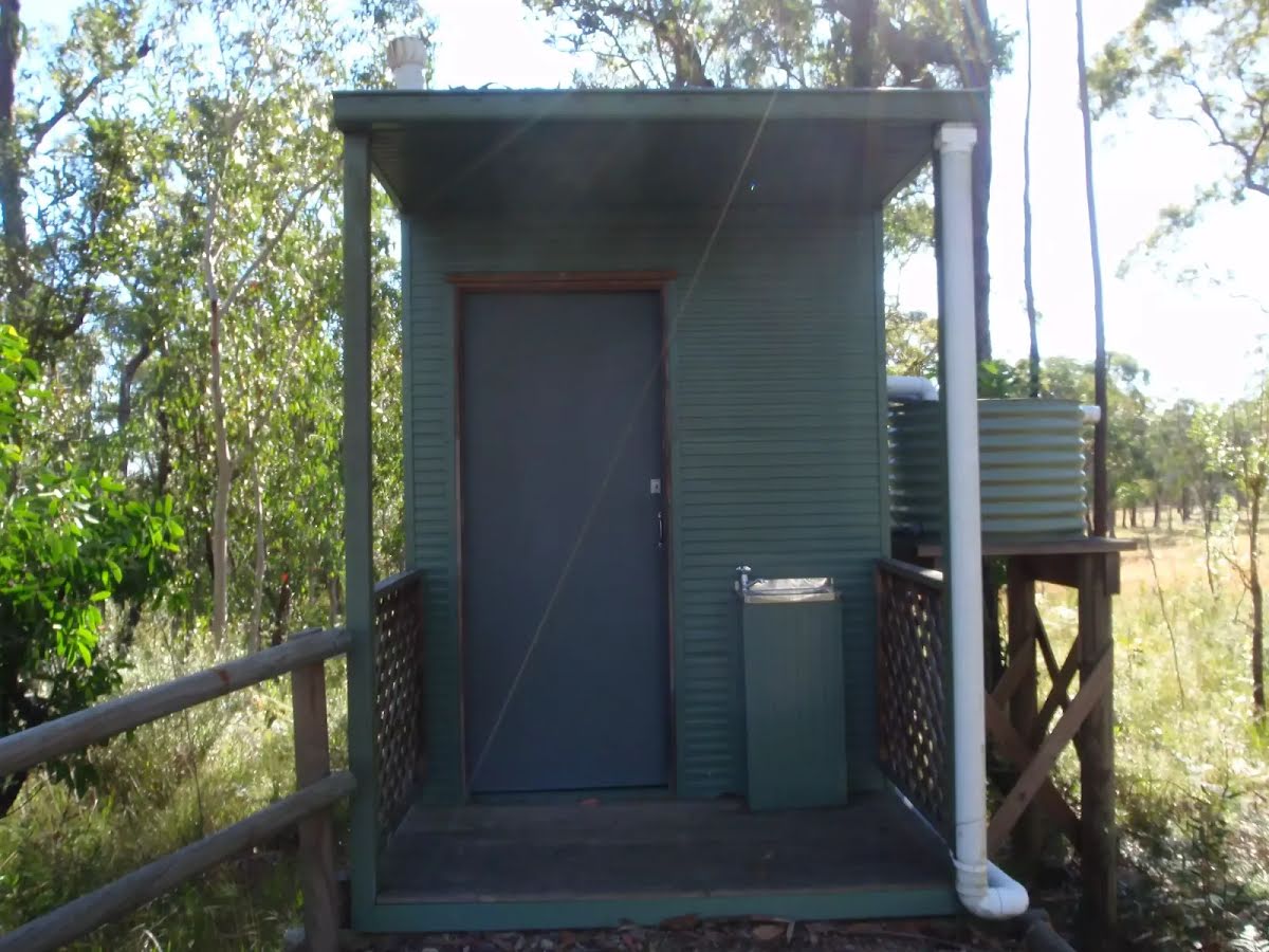
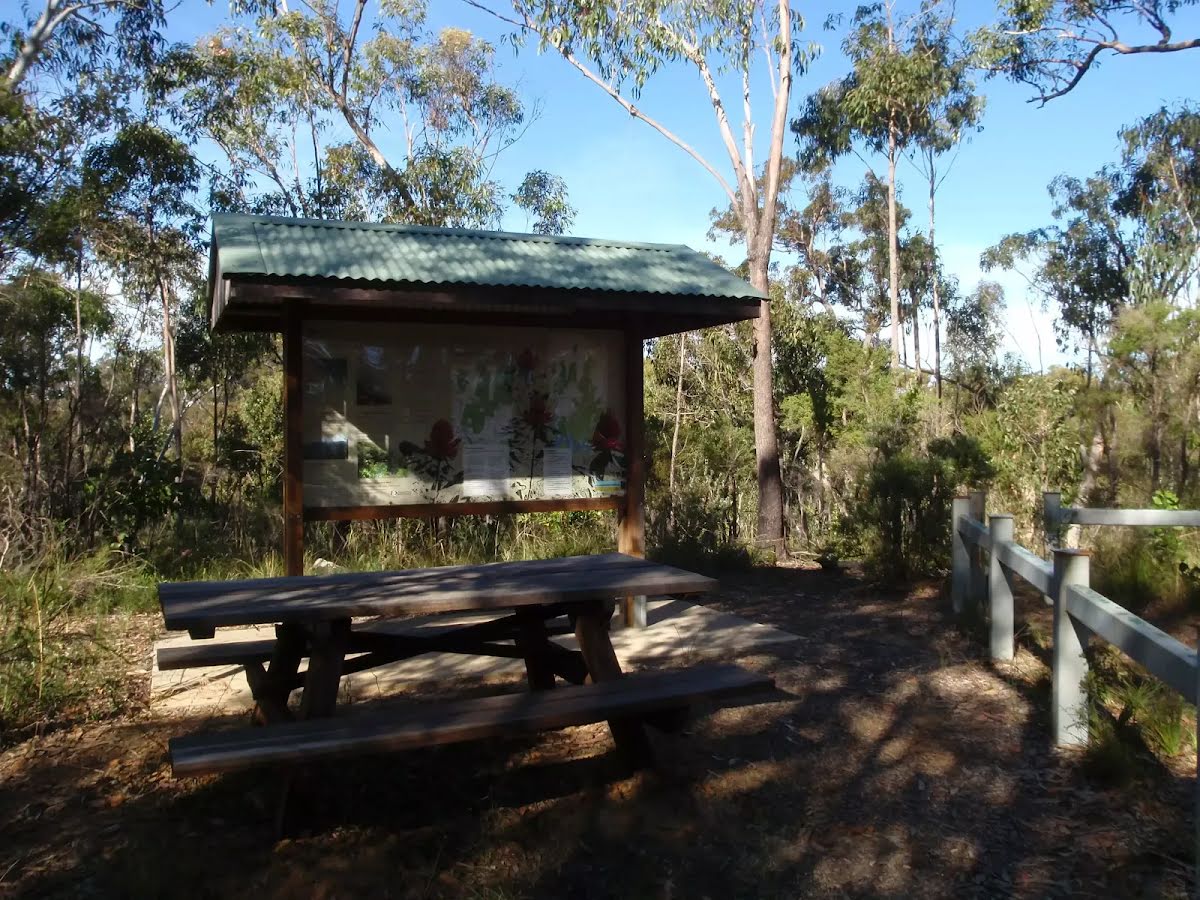
Toilet
| 1.7 km | [toilet] |
Seat
| 1.7 km | [seat] |