| Start | (-33.7341619,150.3795676) |
| Mode | Car (There is free parking available.) |
| Directions | From Great Western Highway, A32
|
| Finish | (-33.7378788,150.3728536) |
| Mode (end) | Car Shuttle Car (There is free parking available.) |
| Turn map | Directions & comments |
|---|---|
 |
|
 |
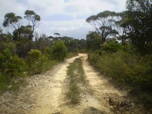
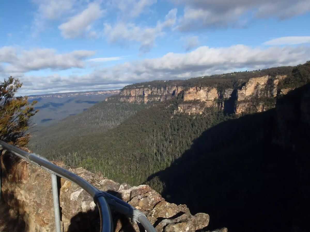
The starting point of an optional sidetrip. An optional side trip to Rocket Point Lookout. To start this optional side trip turn right here. On returning from this side trip continue straight when you get back to this intersection. Details below.  The first point of Aboriginal and European contact in the Blue Mountains, King's Tableland is a significant Aboriginal meeting spot. Historical and cultural sites on the tableland include open campsites, occupation shelters, axe grinding grooves, stone arrangements and art sites, including cave paintings and rock engravings.
|
 |
|
 |
|
 |

|
|
Class 2/6 Easy track |
|---|---|
| Length | 1.6 km |
| Time | 30 min to 45 min |
| Quality of track | Clear and well formed track or trail (2/6) |
| Gradient | Gentle hills with occasional steps (2/6) |
| Signage | Clearly signposted (1/6) |
| Infrastructure | Generally useful facilities (such as fenced cliffs and seats) (1/6) |
| Experience Required | No experience required (1/6) |
| Weather | Weather generally has little impact on safety (1/6) |