| Start | At the intersection of Mount Kosciuszko Summit Walk & Kosciuszko Road (-36.4318081,148.3283279) |
| Mode | Car (A park entry fee is required for driving into the park.) |
| Turn map | Directions & comments |
|---|---|
 |
At the intersection of Mount Kosciuszko Summit Walk & Kosciuszko Road Start heading along Mount Kosciuszko Summit Walk (a vehicle track).
 Snow gums (Eucalyptus pauciflora) are the dominant tree found in Kosciuszko National Park. These slow-growing, distinctive plants have a light grey trunk with smooth red-brown bark, which peels unevenly with a mottled effect. They can be found south along the tablelands into Victoria, and also in Tasmania. Trees are covered with beautiful white flowers from October through to January, which attract lots of bird life.
The alpine tree line is the highest altitude at which trees can survive, due to the cold temperatures. However, you will notice that, in some areas, there are no trees in the valleys, while they thrive on the surrounding hills. This is because cool air settles in the alpine valleys, making them colder and less hospitable than slightly higher altitudes.
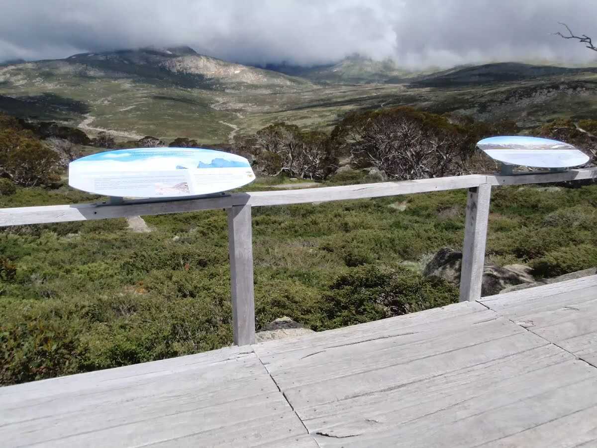 The Charlotte Pass lookout is a partially fenced lookout, north of the turning circle at the end of Kosciuszko Rd. The view is great, looking up the headwaters of the Snowy River up to the Main Range. To the left is Charlotte Pass (the actual pass only - there is no view of the village from here). There are also a few information signs explaining the local flora and geology.
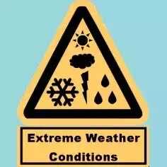 This walk leads through an extreme alpine environment and all walkers must be well prepared. During summer, be prepared for both very hot and cold weather, high winds, rain, snow, extreme UV levels and some sections of snow or ice on the ground. Before starting this walk, check advice with Snowy Region Visitor Information Centre (02) 6450 5600, the weather forecast and the snow conditions then change your plans as needed. These notes, grades and walking times have been written for use in the summer months only. Between May and the end of October, this walk is likely to be covered in snow/ice, visitors should carry and be prepared to use snowshoes or cross country skis. When there is a chance of significant snow on the ground, visitors will need particularly strong navigation and snowcraft skills - tracks and signage may not be visible. For most visitors, it is best to consider this walk closed during the colder months.
Between the long weekend in June and October, the road between Perisher Village and Charlotte Pass is closed by the RTA. It is possible to organise oversnow transport.
|

|
|
Class 4/6 Hard track |
|---|---|
| Length | 9 km |
| Time | 3 h to 6 h |
| Quality of track | Clear and well formed track or trail (2/6) |
| Gradient | Flat, no steps (1/6) |
| Signage | Clearly signposted (1/6) |
| Infrastructure | Generally useful facilities (such as fenced cliffs and seats) (1/6) |
| Experience Required | No experience required (1/6) |
| Weather | Foretasted & unexpected storms and severe weather may impact on navigation and safety (4/6) |
| Item | From Start | Name & link to notes |
|---|---|---|
Toilet
| 100 m | [toilet] |


