| Start | (-33.0241073,151.6404241) |
| Mode | Bus Car (There is free parking available.) |
| Directions | From Pacific Highway, A43
|
| Turn map | Directions & comments |
|---|---|
 |
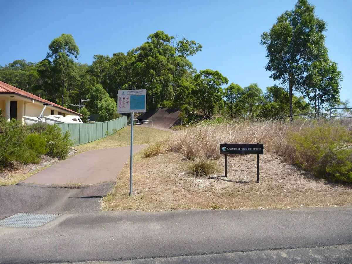 At the end of Green Point Drive (in Belmont) is an entrance to Green Point Foreshore Reserve. Both walking tracks and cycling paths start from this entrance, giving the advantage of traveling downhill to the foreshore and enjoying views as you go. No facilities are here at this stage, other than a turning circle for vehicles, but this entrance will be developed at a later time.
|
 |
The starting point of an optional sidetrip. An optional side trip to Upper Lookout (Sea Eagle Park). To start this optional side trip continue straight here. On returning from this side trip turn left when you get back to this intersection. Details below.
|
 |
|
 |
|
 |
|
 |
|
 |
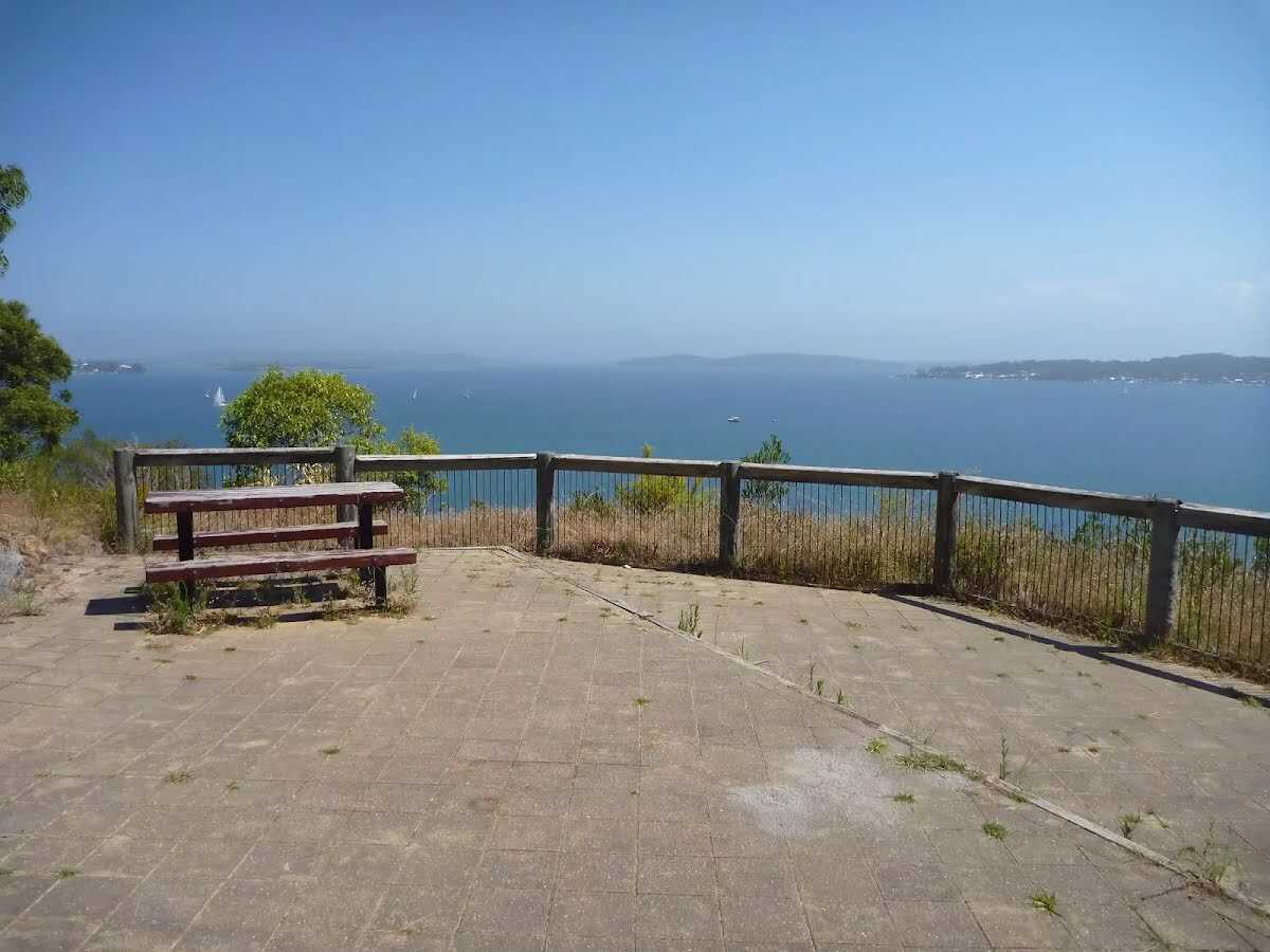
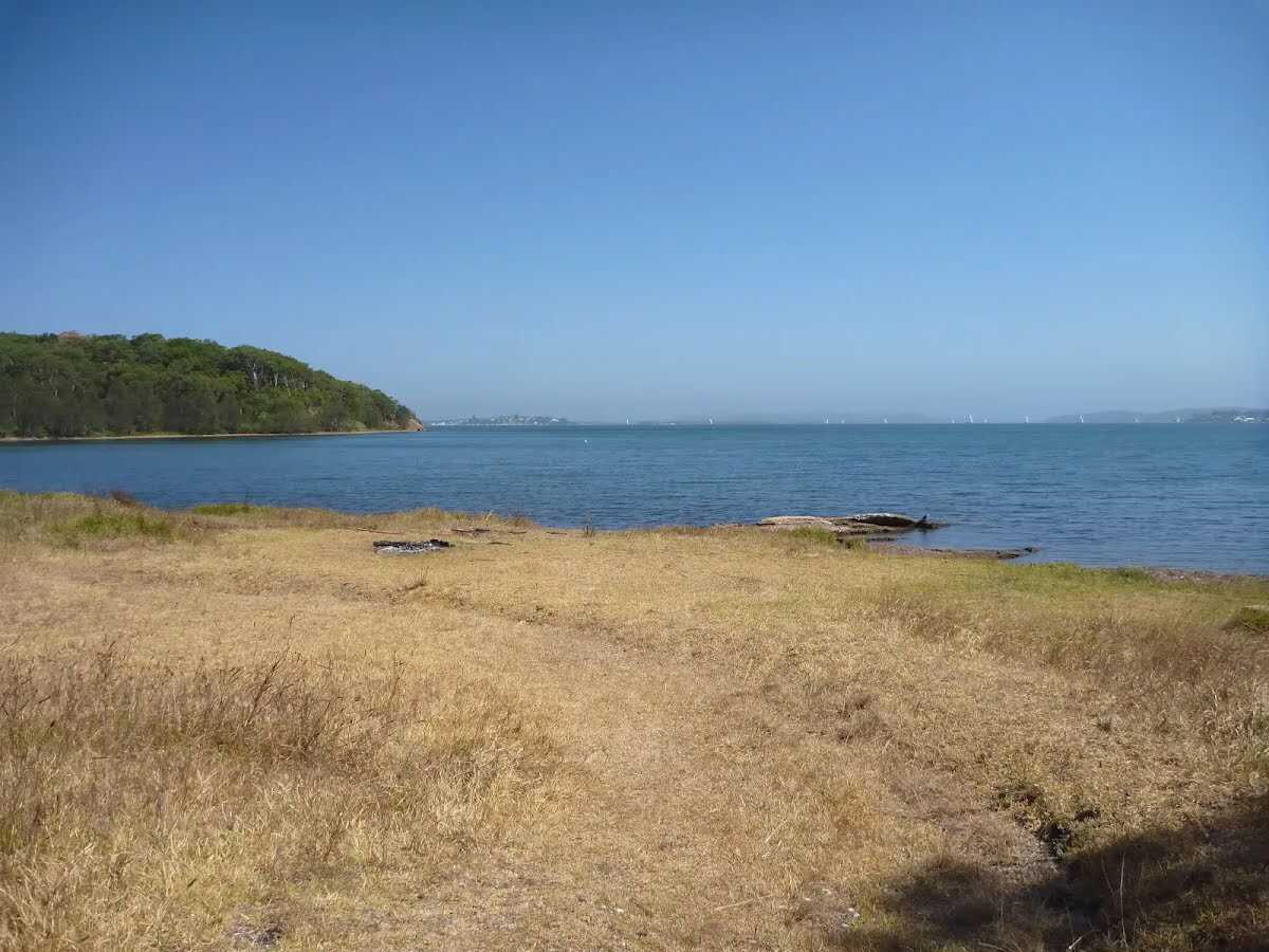 Green Point in the Green Point Foreshore Reserve on Lake Macquarie is a large grassed area which looks out over Lake Macquarie. From the vantage point of Green Point, a walker can see up and down Lake Macquarie. There are often boats passing by this low headland. This is a fabulous place to have a picnic and there is even a clump of She Oak trees by the water for shade. There are no facilities here, other than the open grassed area.
|

|
|
Class 3/6 Moderate track |
|---|---|
| Length | 3 km |
| Time | 1 h to 1 h 15 min |
| Quality of track | Clear and well formed track or trail (2/6) |
| Gradient | Flat, no steps (1/6) |
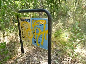
| Signage | Directional signs along the way (3/6) |
| Infrastructure | Generally useful facilities (such as fenced cliffs and seats) (1/6) |
| Experience Required | No experience required (1/6) |
| Weather | Weather generally has little impact on safety (1/6) |
| Item | From Start | Name & link to notes |
|---|---|---|
Toilet
| 400 m + 290 m | [toilet] |