Epping to Pennant Hills Station (via Lane Cove River)
Darug Country

2 h 45 min to 3 h 15 min

8.2 km
oneway

↑ 210 m
↓ -133 m

Hard track
This walk, from Epping to Pennant Hills Station, is a great way to see the upper Lane Cove River Valley. The walk does pass near major roads, but there are times along the track, near Browns Water Hole and along the Lane Cove River, where you forget how close you are to the city. Allow time to enjoy some of the lovely spots along the way. Let us begin by acknowledging the Darug people, Traditional Custodians of the land on which we travel today, and pay our respects to their Elders past and present. 
Show all
Track head at Pembroke St. | Photo by admin, 2008.
Sign pointing down track. | Photo by admin, 2008.
Water crossing at the end of Pembroke St. | Photo by admin, 2008.
Steps near Pembroke St. | Photo by admin, 2008.
Track below Pembroke St. | Photo by admin, 2008.
Sign next to track. | Photo by admin, 2008.
Track under the Epping Rd. | Photo by admin, 2008.
Bench seats near Epping Rd. | Photo by admin, 2008.
Graffiti under bridge. | Photo by admin, 2008.
Steps near Epping Rd. | Photo by admin, 2008.
Water crossing near Epping Rd. | Photo by admin, 2008.
Terry's Creek. | Photo by admin, 2007.
Track away from Terry's Creek. | Photo by admin, 2008.
Graffiti under Epping Rd Bridge. | Photo by admin, 2007.
Track through dense weeds. | Photo by admin, 2007.
Track through the bush. | Photo by admin, 2008.
Track up to road. | Photo by admin, 2008.
Track above creek. | Photo by admin, 2008.
Footbridge over creek. | Photo by admin, 2008.
Track around wonderful tree. | Photo by admin, 2008.
Track through dense bush. | Photo by admin, 2008.
Track past pipe access. | Photo by admin, 2008.
Track viewing motorway. | Photo by admin, 2008.
Track under tree branch. | Photo by admin, 2007.
Track through heath. | Photo by admin, 2008.
Track under the motorway. | Photo by admin, 2008.
Lane Cove National Park sign beside the track. | Photo by admin, 2007.
Track down through the heath. | Photo by admin, 2008.
Railing along track. | Photo by admin, 2008.
Paved section of service trail . | Photo by admin, 2007.
Terry's Creek walking track sign. | Photo by admin, 2007.
Browns Water Hole. | Photo by admin, 2007.
Great North Walk service trail. | Photo by admin, 2008.
Road Down to the GNW Track. | Photo by admin, 2007.
Great North walk near the STEP track. | Photo by admin, 2008.
Passing the Pennant Hills turn off. | Photo by admin, 2008.
Track up to Pennant Hills Park. | Photo by admin, 2008.
Track sign. | Photo by admin, 2008.
Sign at Pennant Hills Park. | Photo by admin, 2008.
Road through Pennant Hills Park. | Photo by admin, 2007.
Downloads GPX PDF

+
-
Safer Bushwalks
Tips on staying safe on track
Before you start any bushwalk ensure you;
• Tell someone you trust where you are going and what to do if you are overdue
• Have adequate equipment, supplies, skills & knowledge for the whole journey
• Consider the impact of weather forecasts, park/track closures & fire dangers
• Can respond to emergencies & call for help at any point
• Are healthy and fit enough for this journey
If not, change plans and stay safe. It is okay to delay and ask people for help.
+
-
Getting There
Transport options and directions
Start At the intersection of Langston Place & Cambridge Street (-33.7724644,151.0824454)
Mode Bus Car (There is free parking available.) Train
DirectionsFrom Silverwater Road, A6
  • Turn on to Marsden Road, A6 then drive for 305 m
  • Keep right onto Lawson Street and drive for another 280 m
  • Turn right onto Brush Road and drive for another 295 m
  • Turn left onto Rutledge Street and drive for another 1.7 km
  • Turn slight left onto Blaxland Road and drive for another 2 km
  • Continue onto Langston Place and drive for another 165 m
Finish (-33.7379604,151.0729293)
Mode (end) Car Shuttle   Bus   Car   (There is free parking available.) Train  
+
-
Track Notes
Turn by turn instructions & maps
Getting started
From the eastern side of Epping Station the walk crosses over the street at the pedestrian crossing and heads up Pembroke St. The walk heads up the slight hill passing a Dentist's and church on the left. The walk continues to follow the road passing through a round-a-bout with Essex St and then comes down to Epping Rd. Epping Rd is crossed using the pedestrian crossings. A sign to Macquarie Park and Marsfield is followed up Epping Rd and then right onto Pembroke St again. The walk heads up Pembroke St following the white signs and white bicycles painted on the ground. The walk continues down Pembroke St passing some side roads to come to an intersection with the bike bath (on your left) just before the end of the road.....
Turn map Directions & comments
At the intersection of Langston Place & Cambridge Street Start heading along Pembroke Street (a highway|tertiary).
After another 10 m continue straight, to head along Pembroke Street.
There is a cafe (about 30 m back from the start).
After another 145 m (at the intersection of Pembroke Street & Chambers Court) continue straight, to head along Pembroke Street.
After another 115 m pass the water tap (15 m on your right).
At the intersection of Smith Street & Pembroke Street continue straight, to head along Pembroke Street.
After another 125 m turn right.
After another 110 m (at the intersection of Pembroke Street & Norfolk Road) continue straight, to head along Pembroke Street.
After another 70 m turn right.
After another 50 m continue straight.
After another 105 m continue straight, to head along Pembroke Street.
After another 50 m (at the intersection of Pembroke Street & Stanley Road) continue straight, to head along Pembroke Street.
After another 215 m (at the intersection of Raymond Place & Pembroke Street) continue straight, to head along Pembroke Street.
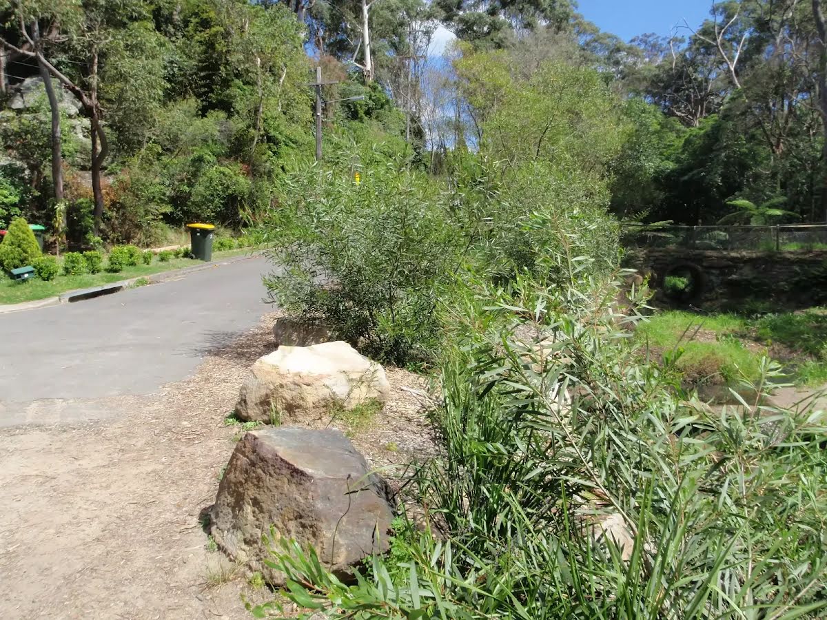
After another 90 m veer left.
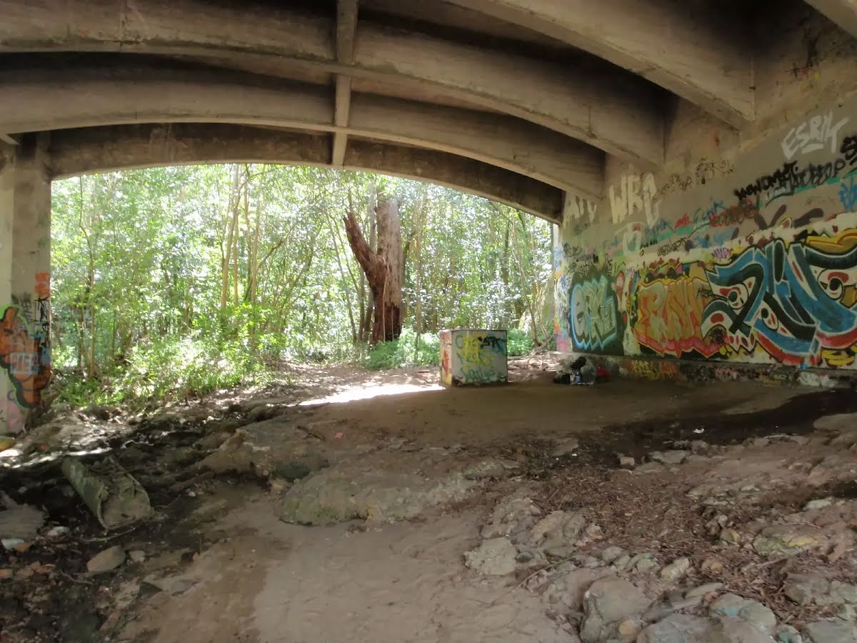
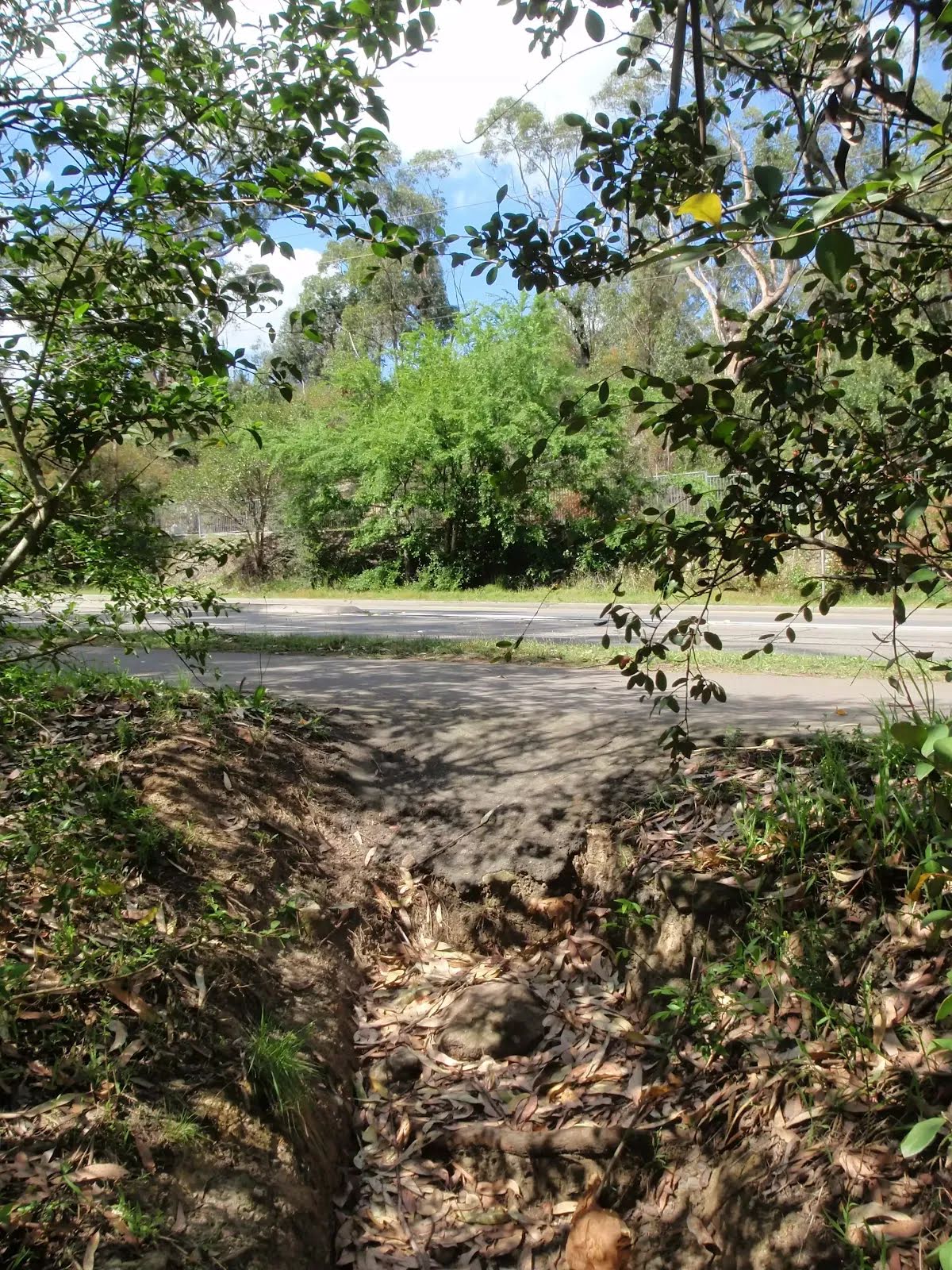
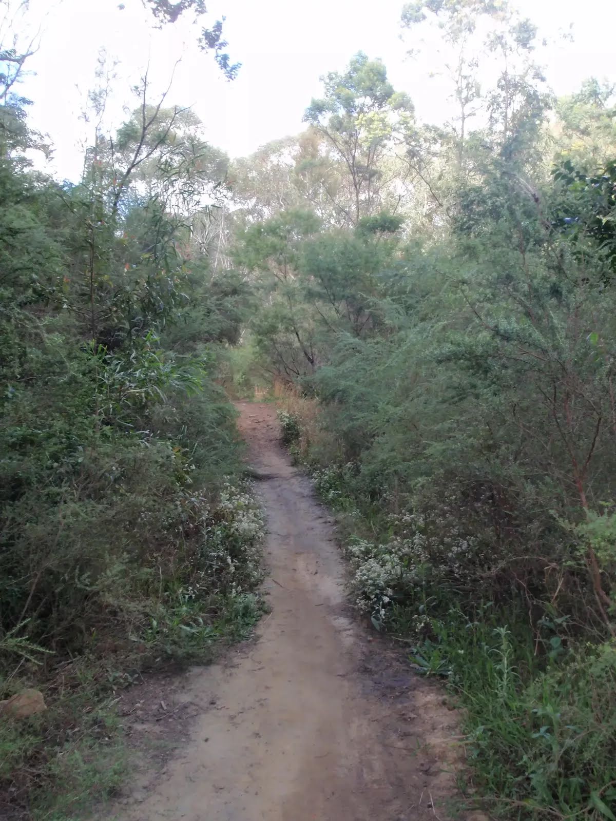
After another 65 m cross the bridge (about 40 m long)
After another 20 m turn right.
After another 35 m turn sharp right.
After another 30 m continue straight.
After another 75 m continue straight.
After another 490 m pass the "Summerset Park" (8 m on your right).
After another 125 m continue straight.
After another 35 m continue straight.
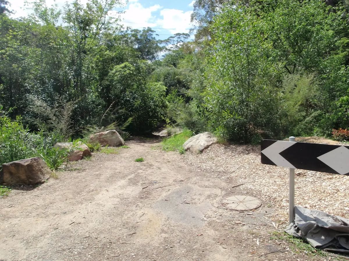
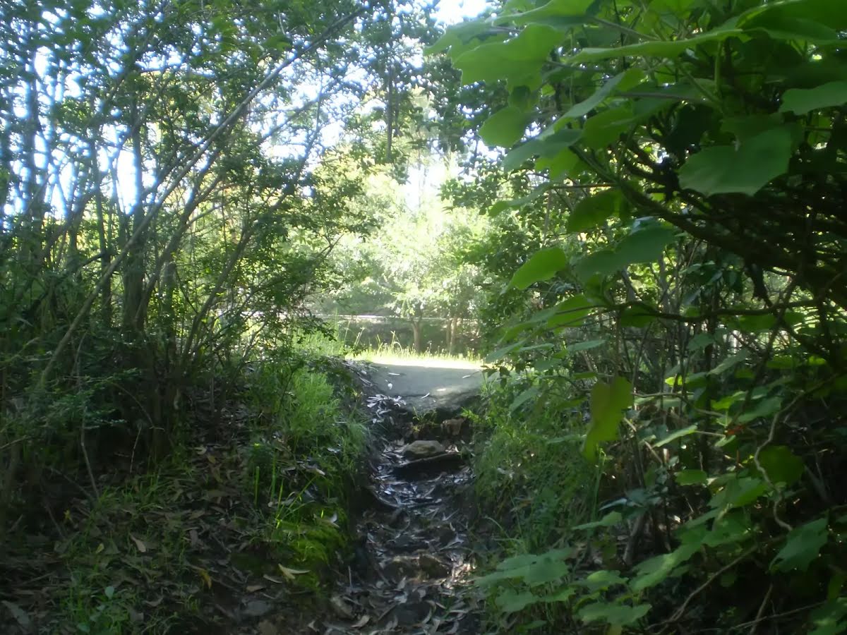
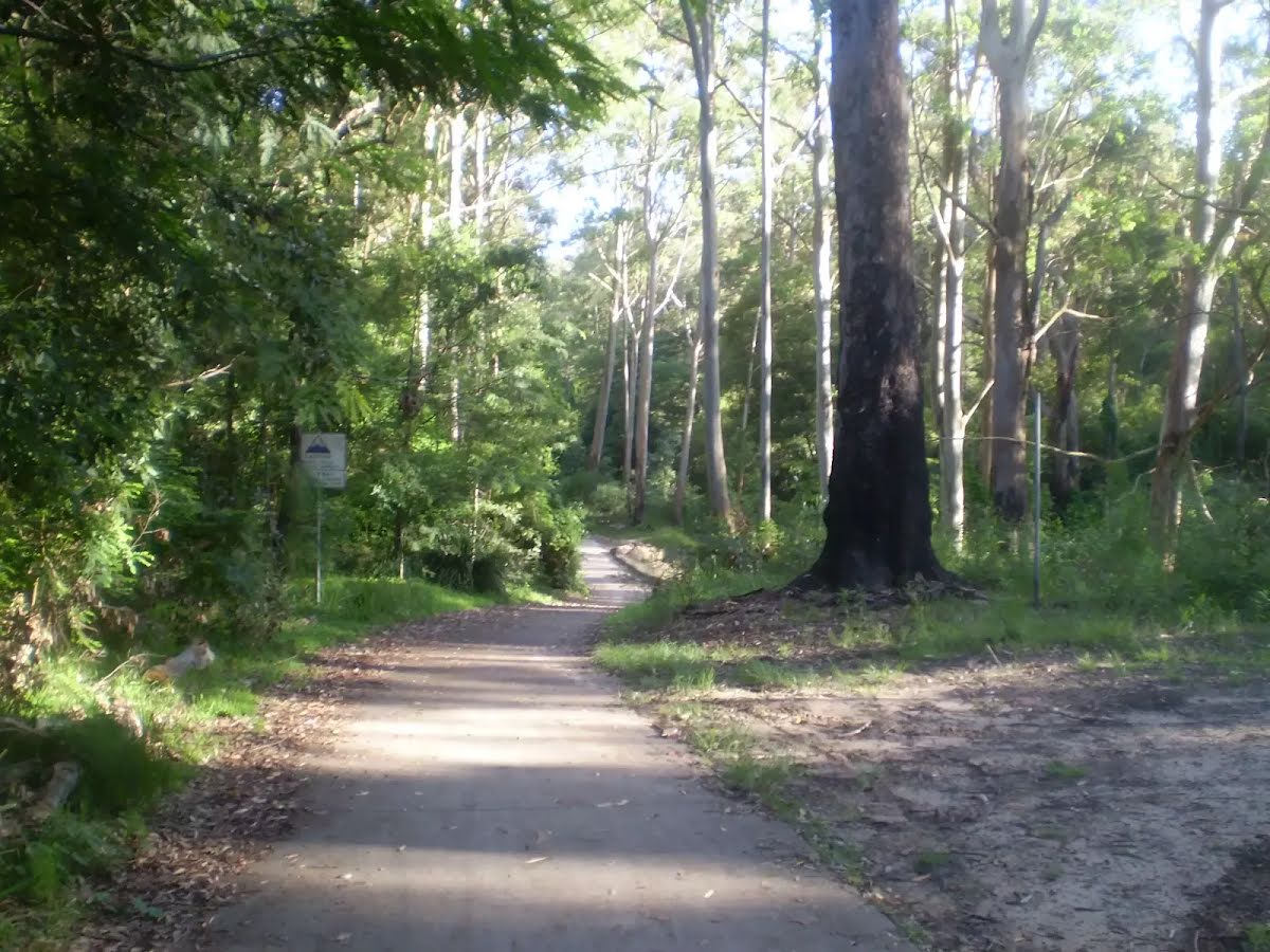
After another 205 m turn left, to head along Terrys Creek Trail.
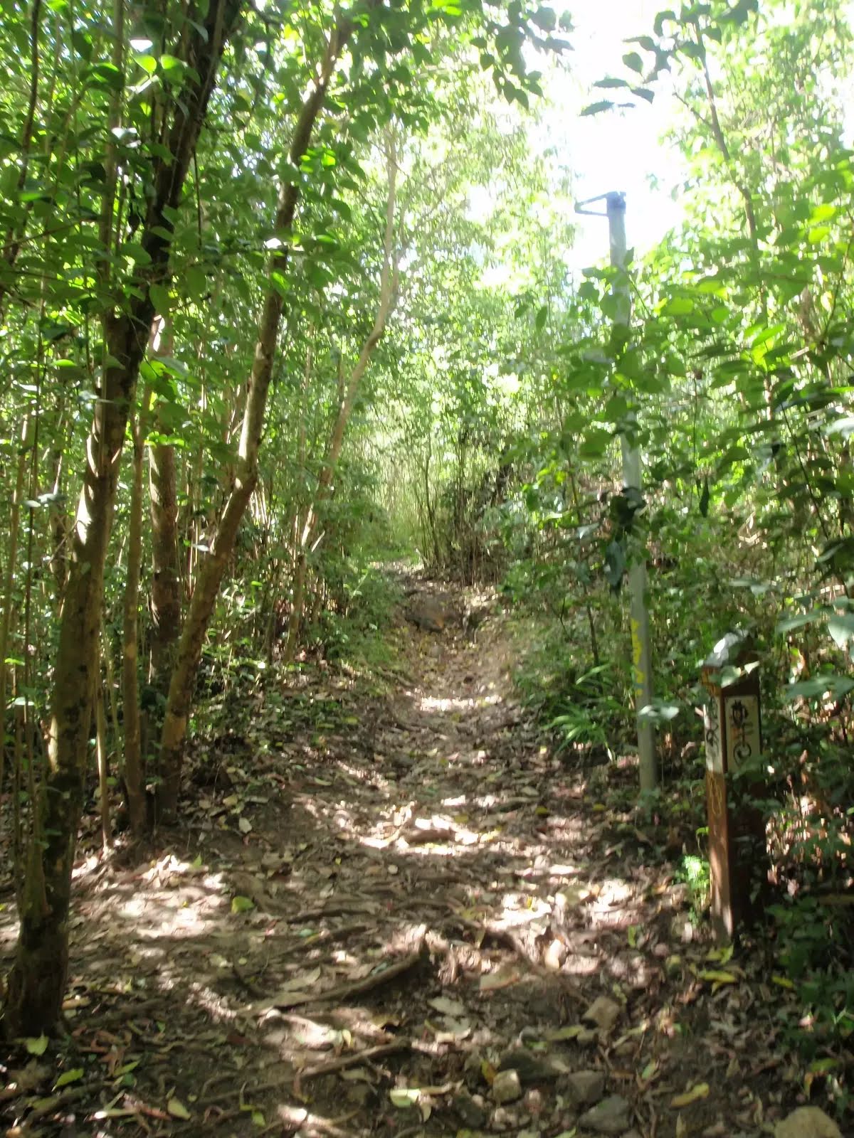
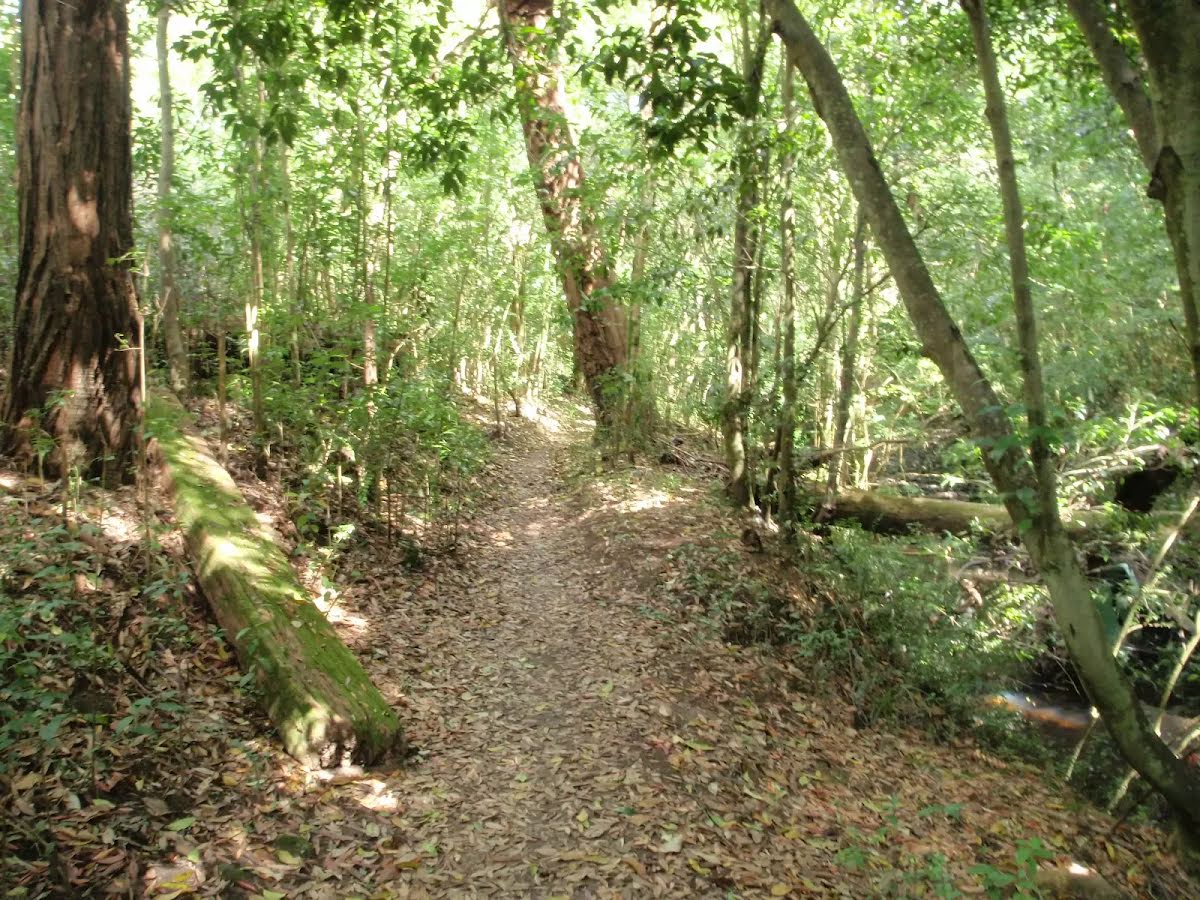
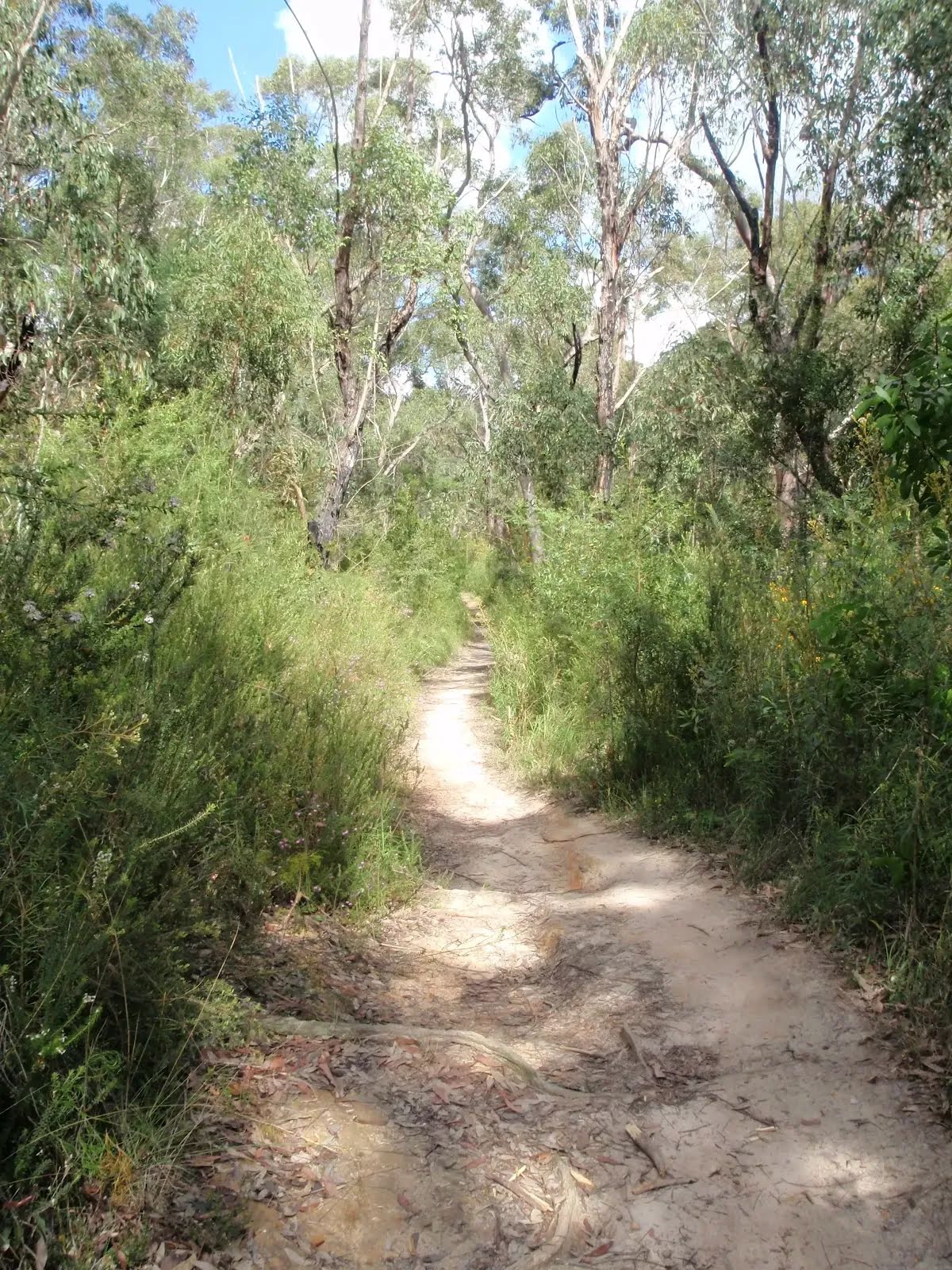
After another 250 m continue straight, to head along Terrys Creek Trail.
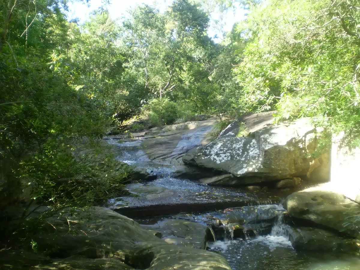
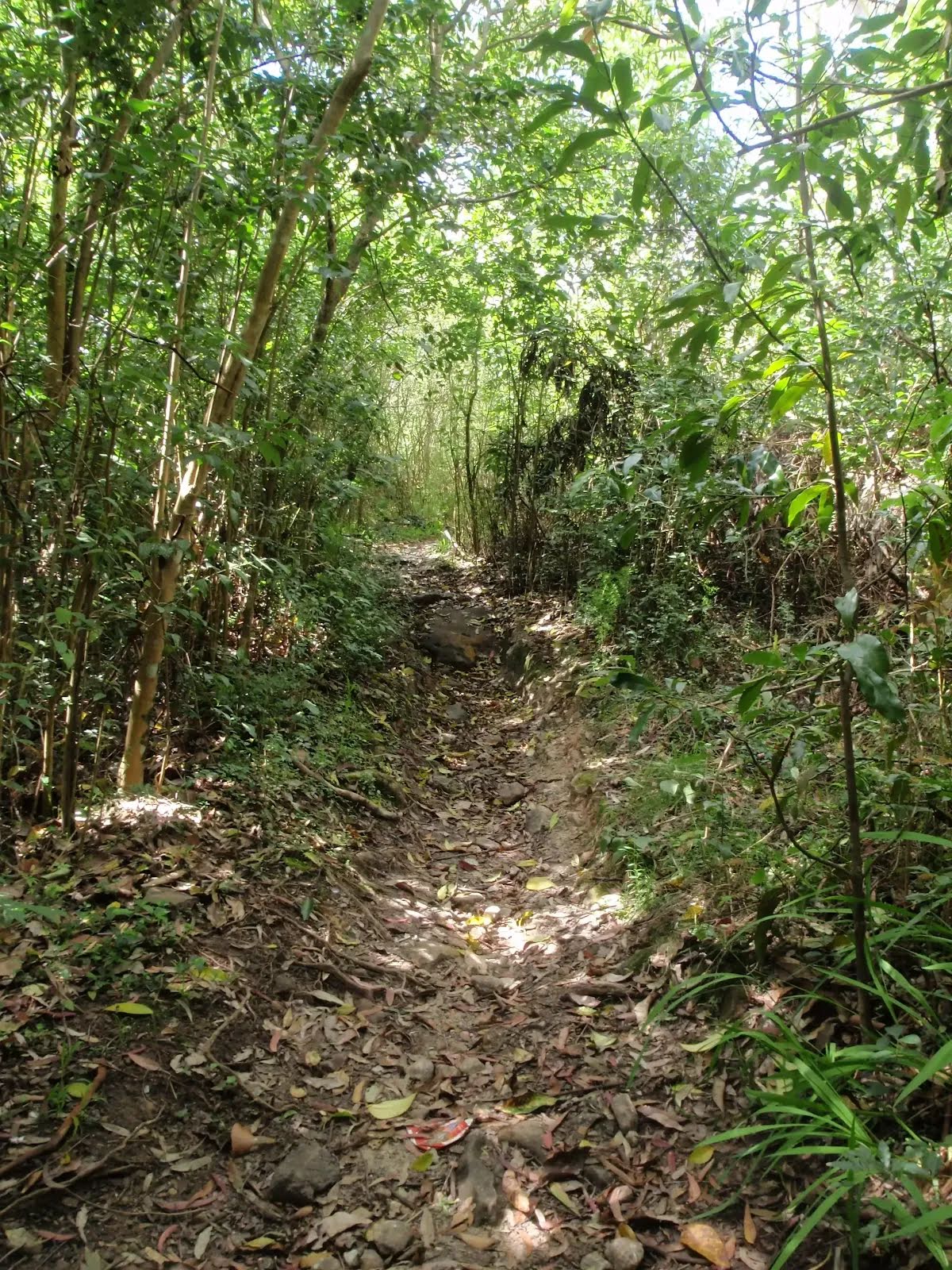
After another 700 m continue straight.
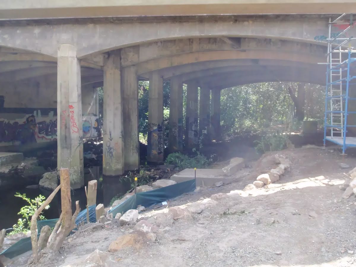
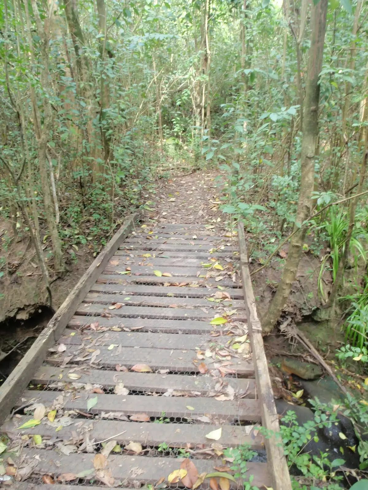
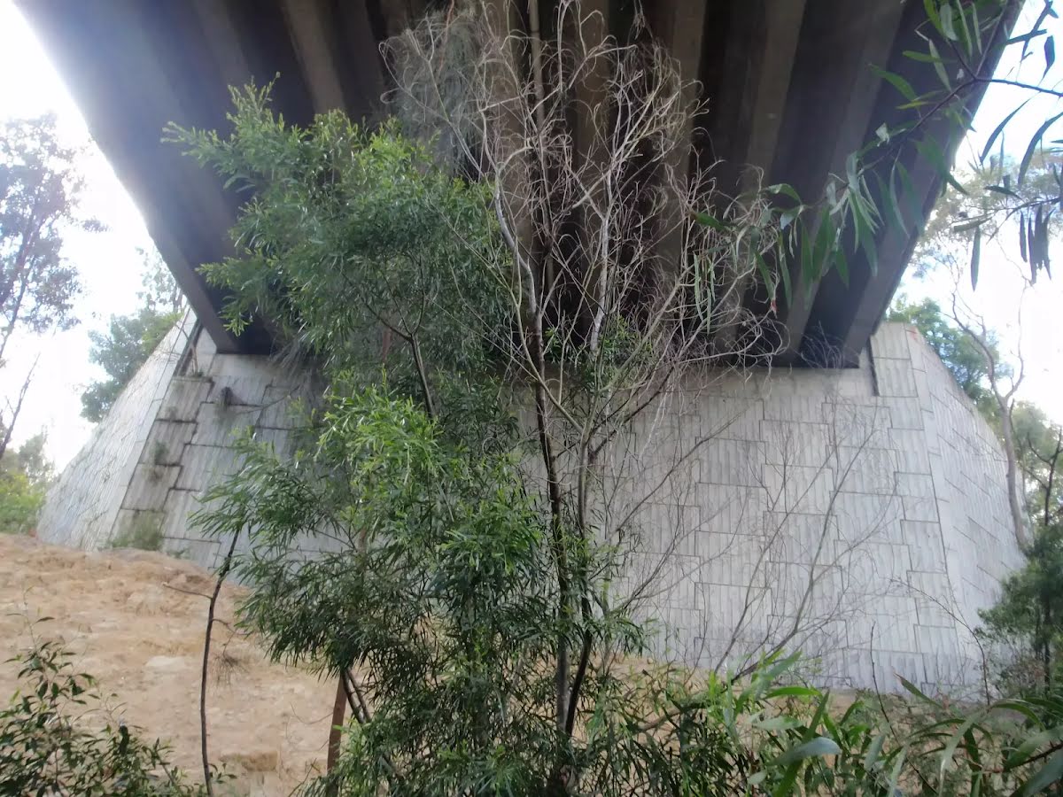
After another 40 m cross the bridge (about 15 m long)
Then pass the picnic table (9 m on your right).
After another 10 m continue straight.
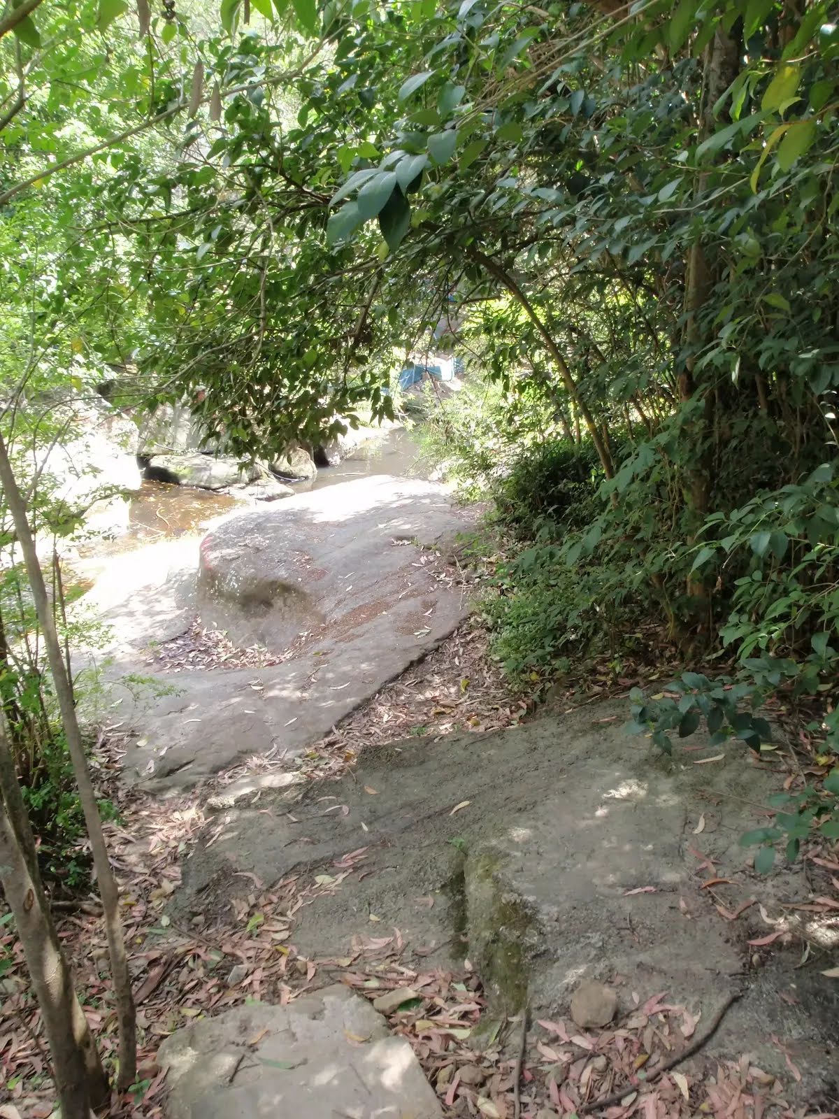
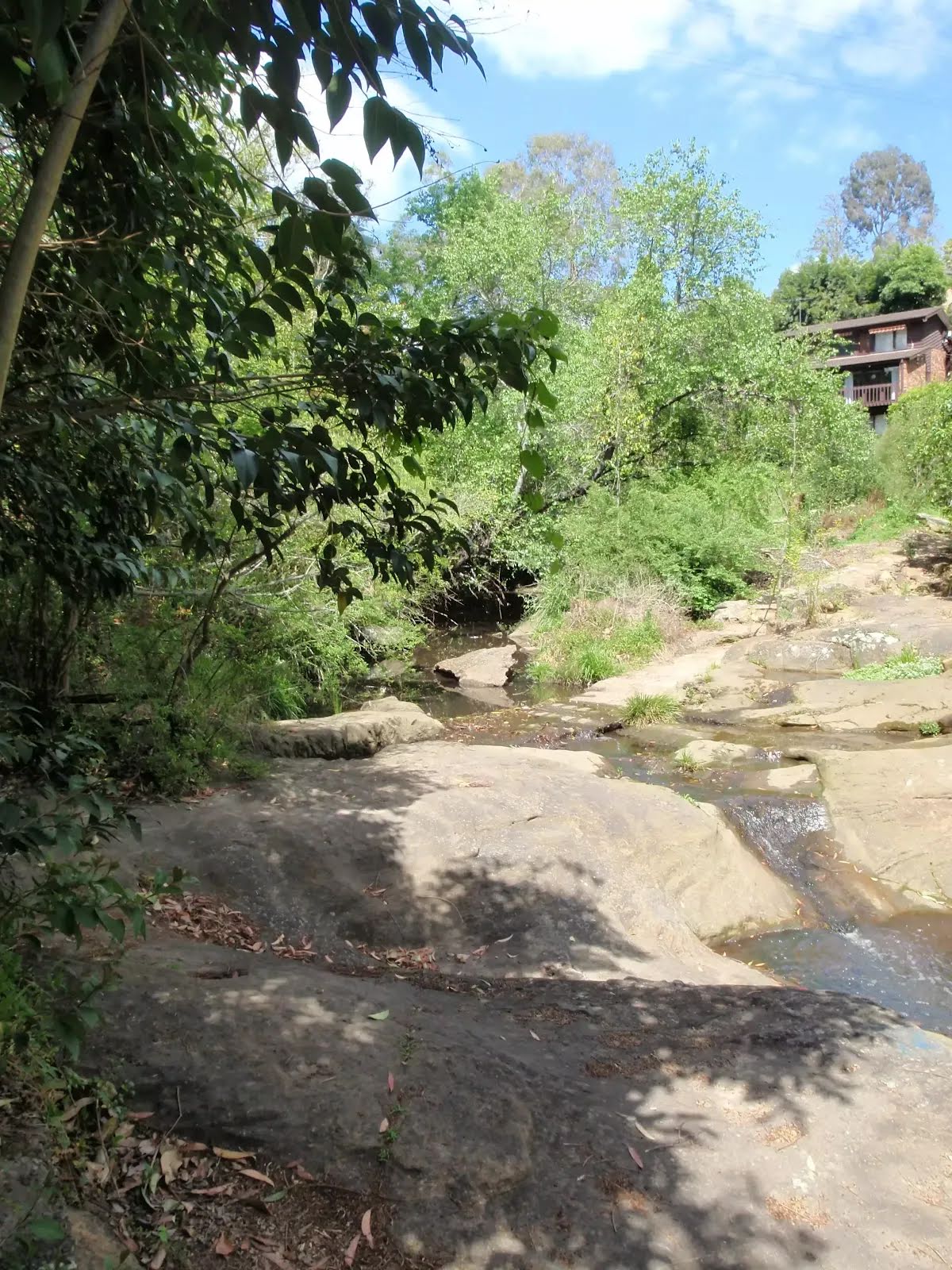
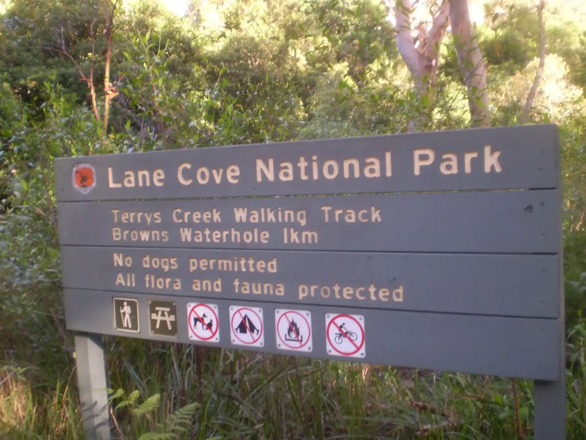
After another 50 m find the "Browns Waterhole" (15 m on your right).
Browns Waterhole
Browns Waterhole

Browns Waterhole is a wide, shallow section of the Lane Cove River, downstream of a concrete weir. There is a concrete shared cycle/footpath crossing over the top of the weir, linking Kissing Point Road, South Turramurra to Vimiera Rd, Macquarie Park. On the western side of the waterhole, there is a picnic table and small clearing with a view over this section of the river.
+
-
Browns Waterhole is a wide, shallow section of the Lane Cove River, downstream of a concrete weir. There is a concrete shared cycle/footpath crossing over the top of the weir, linking Kissing Point Road, South Turramurra to Vimiera Rd, Macquarie Park. On the western side of the waterhole, there is a picnic table and small clearing with a view over this section of the river.

After another 25 m turn left, to head along The Great North Walk.
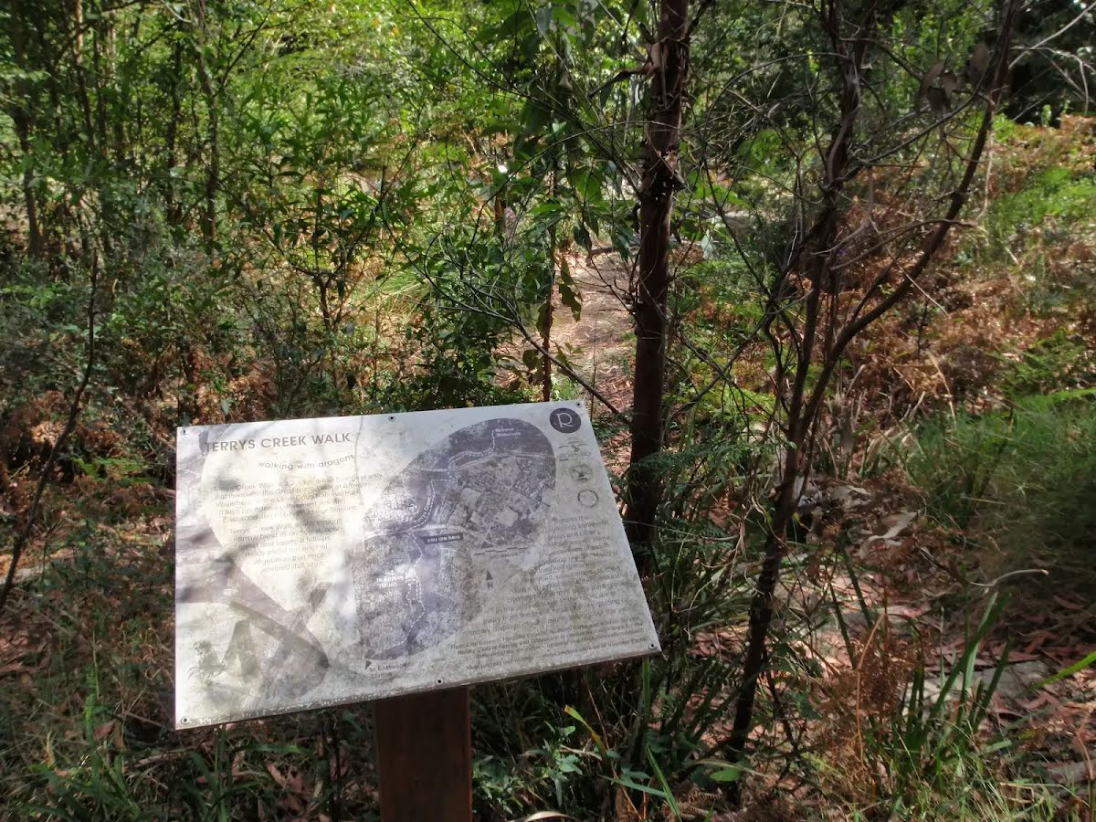
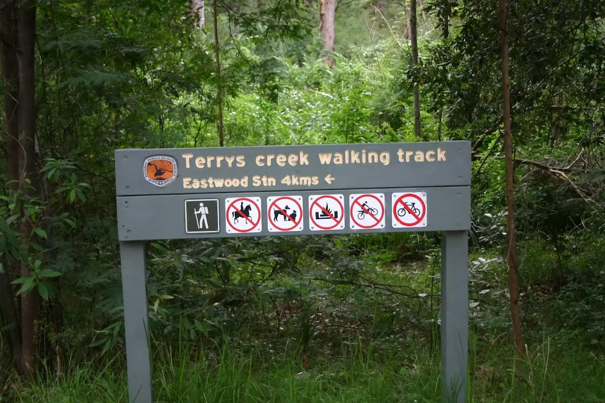
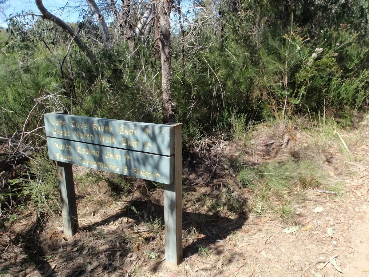
After another 20 m pass the "Walking and Service Trails in the Lane Cove Valley" (8 m on your right).
After another 60 m pass the "The Great North Walk" (5 m on your right).
After another 175 m pass the "Great North Walk".
After another 260 m turn left, to head along The Great North Walk.
After another 35 m (at the intersection of The Great North Walk & The Step - Main loop) continue straight, to head along The Great North Walk.
After another 10 m pass the sign (on your right).
After another 75 m pass the sign (on your right).
After another 520 m (at the intersection of Lane Cove Valley Walk & The Great North Walk) continue straight, to head along The Great North Walk.
After another 30 m pass the sign (on your right).
After another 95 m pass the "Walking and Service Trails in the Lane Cove Valley" (10 m on your right).
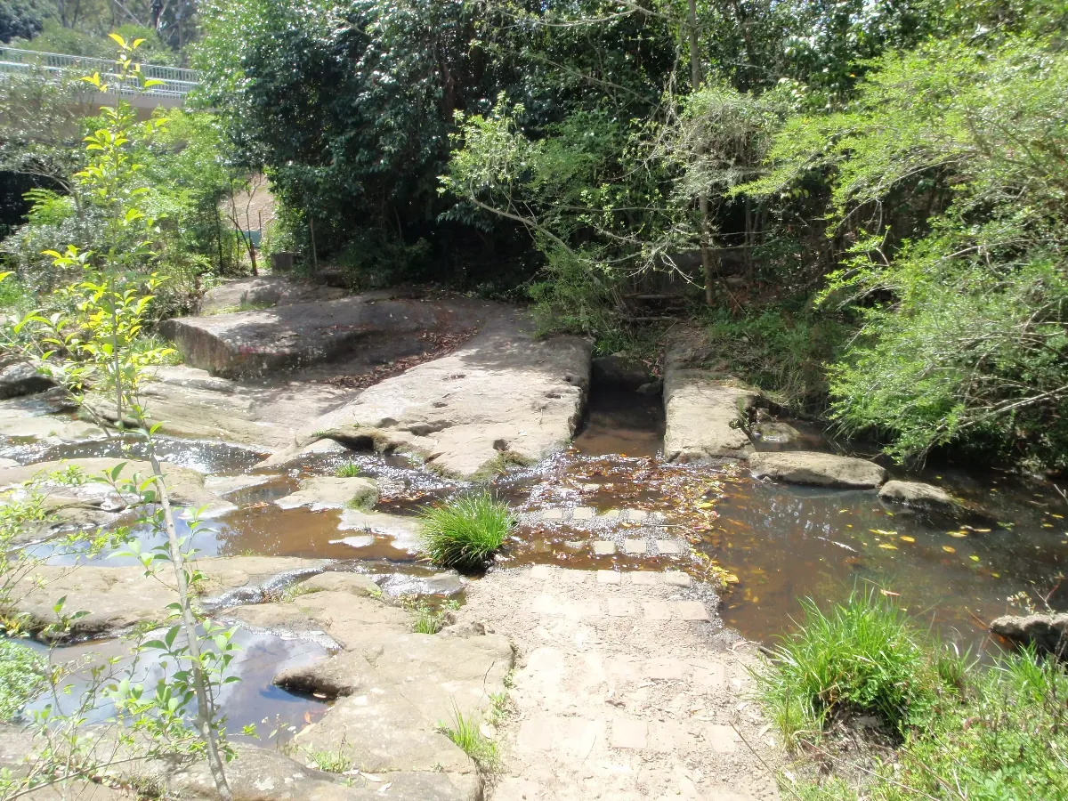
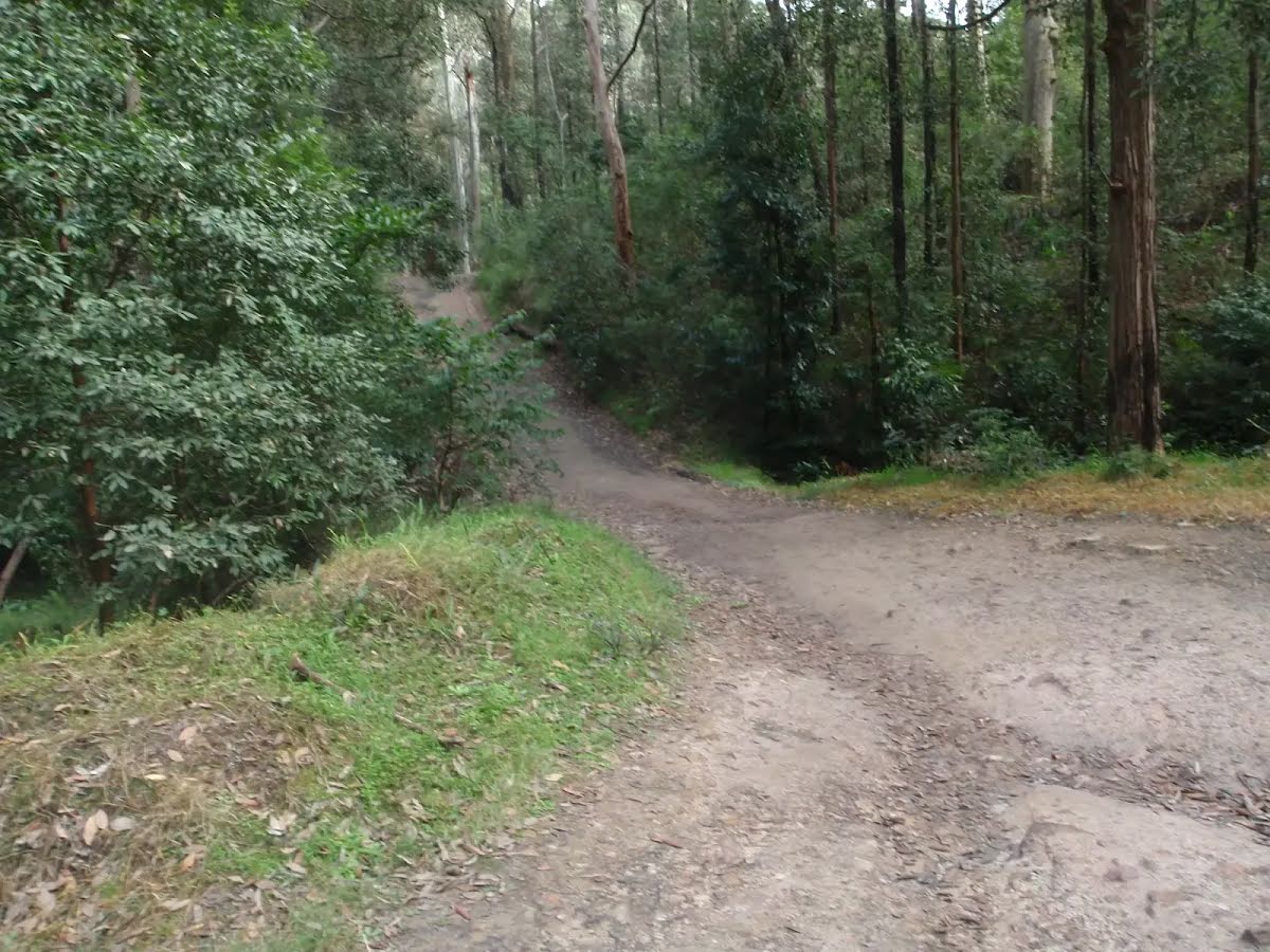
At the intersection of The Great North Walk & Devlins Creek Trail continue straight, to head along Devlins Creek Trail.
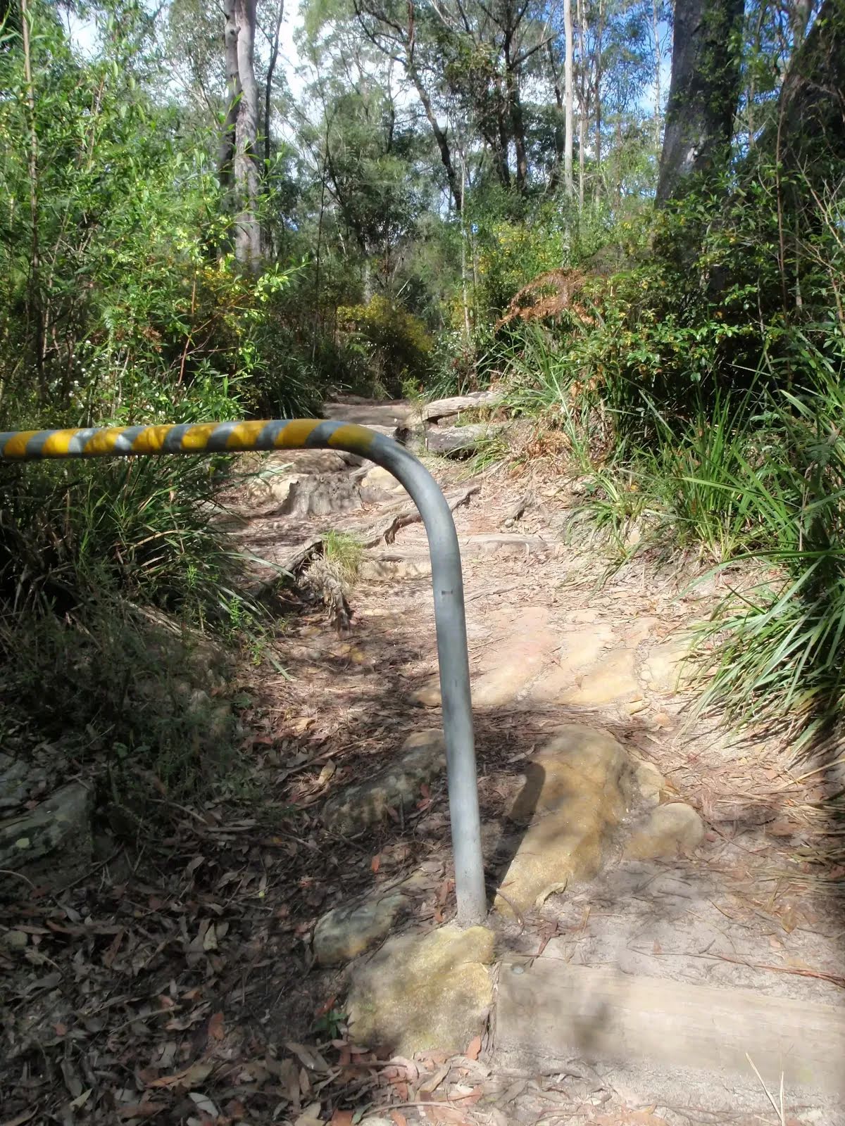
After another 9 m cross the ford (about 25 m long)
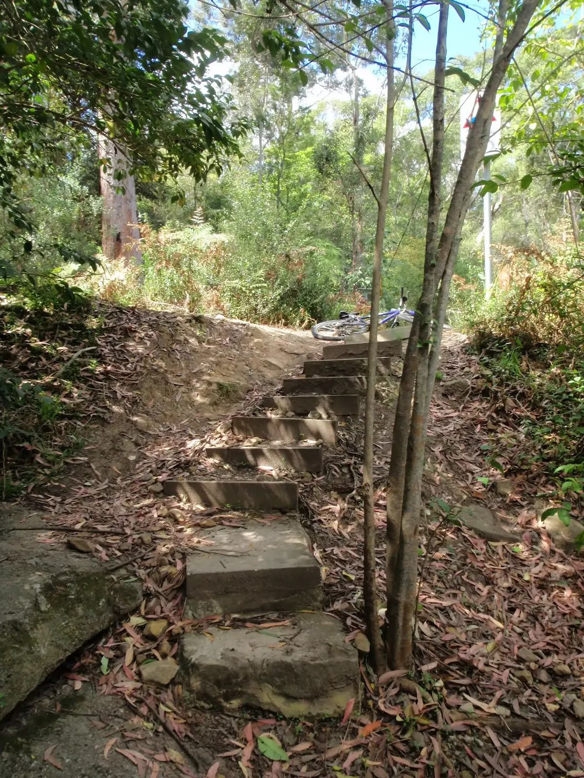
After another 15 m (at the intersection of Devlins Creek Trail & Pennant Hills Trail) turn right, to head along Pennant Hills Trail.
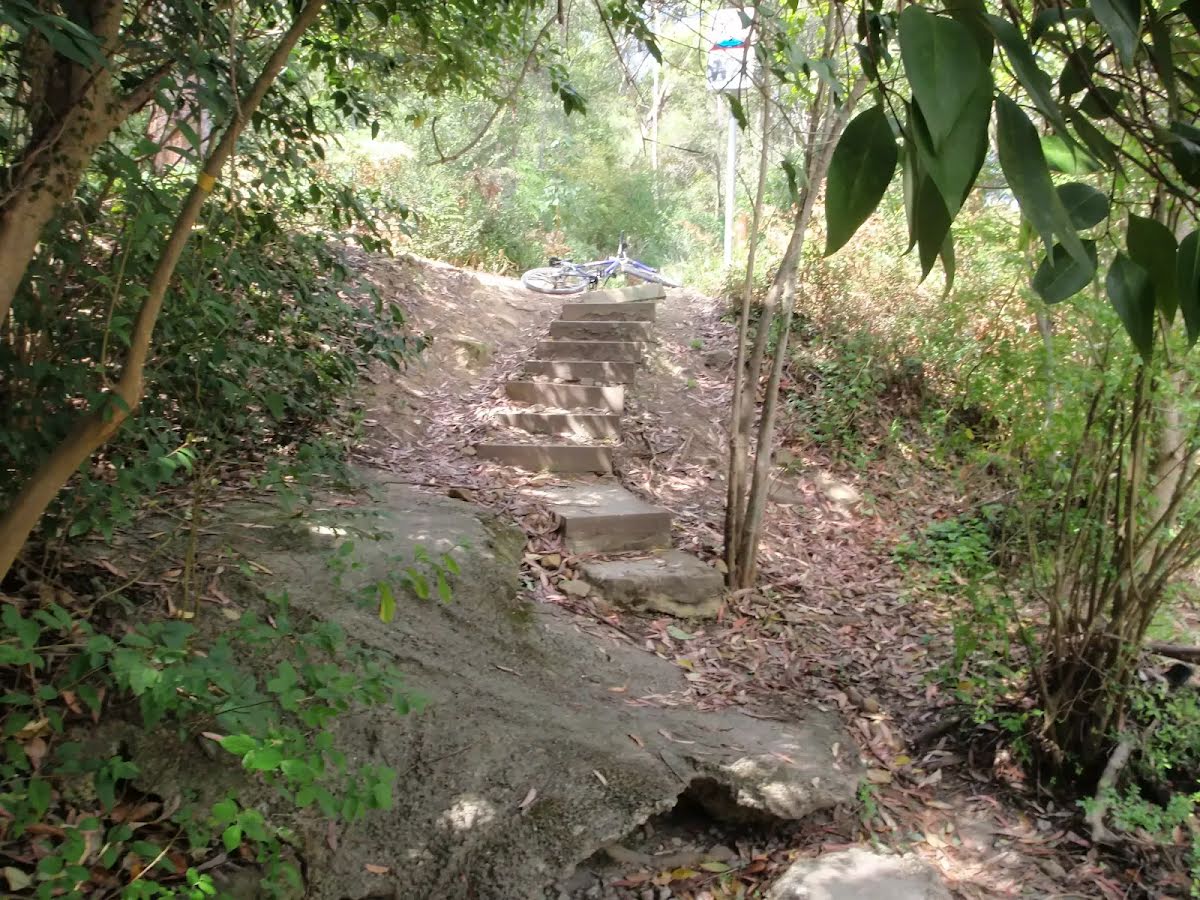
Then head up the very steep (10% ~ 5.7°) concrete incline (about 75 m long)
Then pass the sign (6 m on your right).
After another 200 m head up the very steep (20% ~ 11.3°) concrete incline (about 170 m long)
After another 330 m continue straight, to head along Pennant Hills Trail.
After another 570 m continue straight, to head along Pennant Hills Trail.
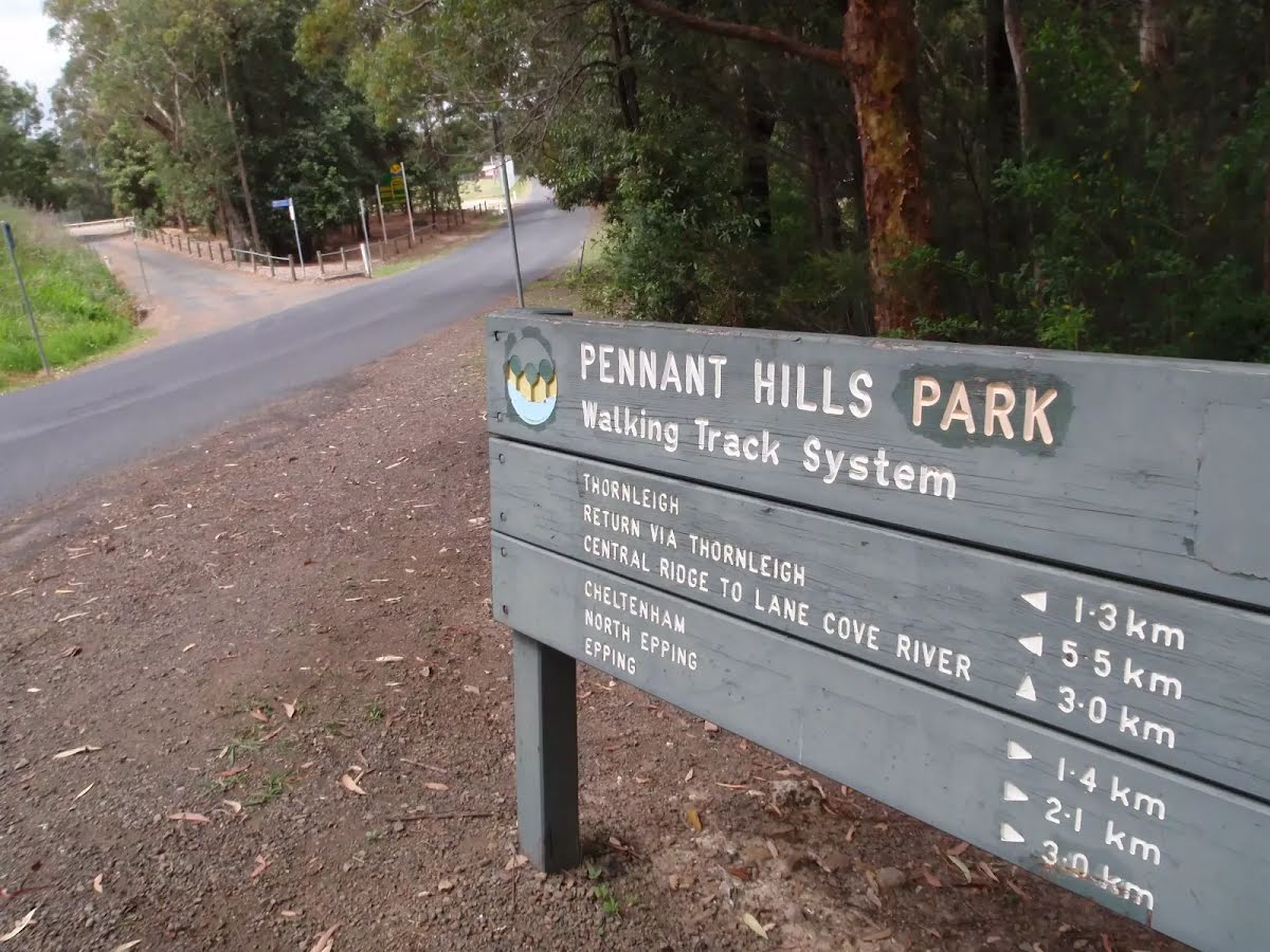
After another 75 m turn right, to head along Pennant Hills Trail.
After another 215 m (at the intersection of Model Aircraft Trail & Pennant Hills Trail) turn left, to head along Model Aircraft Trail.
After another 270 m turn right.
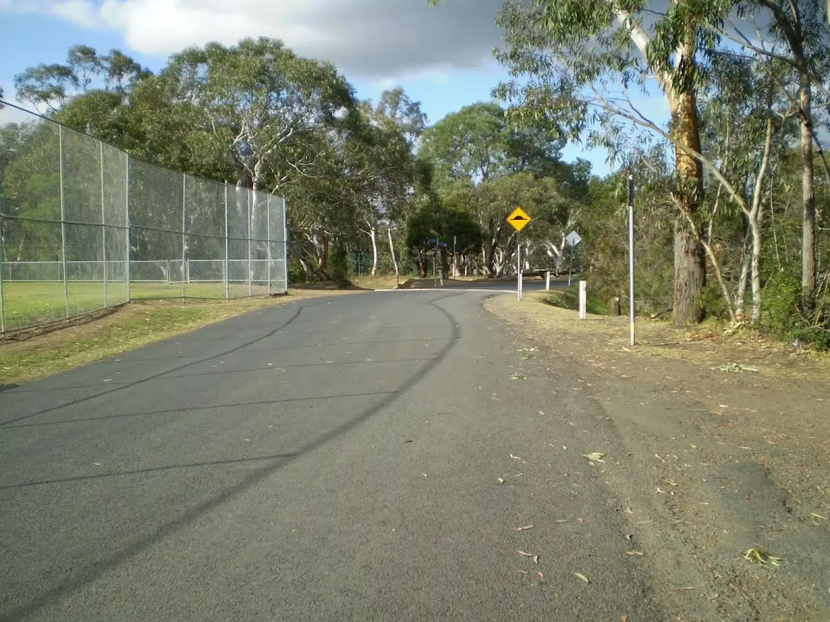
After another 255 m continue straight.
After another 160 m pass the playground (30 m on your left).
After another 60 m continue straight.
After another 30 m pass the "Netball" (on your right).
After another 170 m pass the car park (5 m on your right).
Continue straight.
After another 80 m continue straight.
After another 10 m veer right.
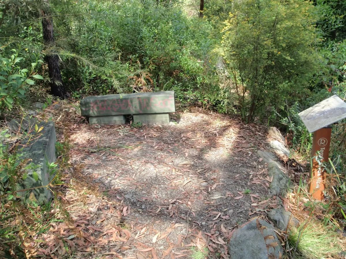
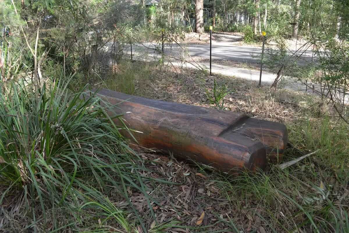
After another 125 m find the "Seat" (20 m on your left).
Seat
Seat

A timber log seat, 43cm high, 30cm deep and 1.5m wide. Seat is located 2m from the concrete path, partially obscured by plants.
+
-
A timber log seat, 43cm high, 30cm deep and 1.5m wide. Seat is located 2m from the concrete path, partially obscured by plants.

Turn right.
After another 35 m continue straight, to head along Britannia Street.
After another 65 m pass the water tap (15 m on your right).
After another 20 m continue straight, to head along Britannia Street.
After another 40 m pass the toilet (20 m on your right).
After another 100 m (at the intersection of Cecil Avenue & Britannia Street) continue straight, to head along Britannia Street.
After another 70 m (at the intersection of Britannia Street & Cladden Close) continue straight, to head along Britannia Street.
After another 145 m (at the intersection of Charlotte Road & Britannia Street) continue straight, to head along Britannia Street.
After another 75 m (at the intersection of The Crescent & Britannia Street) veer right, to head along The Crescent.
After another 235 m (at the intersection of Pennant Hills Road & The Crescent) continue straight.
After another 10 m (at the intersection of Railway Street & Pennant Hills Road) continue straight, to head along Railway Street (a vehicle track).
After another 100 m continue straight, to head along Railway Street.
About 95 m past the end is a car park.
The end.
About 115 m past the end is a playground .
+
-
Terrain
Know the Hills, grading & facilities

Epping to Pennant Hills Station (via Lane Cove River)


Grading
Class 4/6
Hard track
Length 8.2 km
Time 2 h 45 min to 3 h 15 min
Quality of track Formed track, with some branches and other obstacles (3/6)
Gradient Very steep (4/6)
Signage Directional signs along the way (3/6)
Infrastructure Limited facilities, not all cliffs are fenced (3/6)
Experience Required Some bushwalking experience recommended (3/6)
Weather Storms may impact on navigation and safety (3/6)

Some facilities on route
Toilet: There is one 7.4 km from the start.

Seat: There is one 7.3 km from the start.


Order of key facilities on route
ItemFrom StartName & link to notes
Seat
7.3 kmSeat
Toilet
7.4 km[toilet]
+
-
Articles
Discover more details to thrive on track
+
-
Reviews & Feedback
Share your experience
+
-
Weather & Alerts
Check forecasts & closures
Show Full Weather
Alerts and Closures
Show all alerts
Show all alerts
Show all alerts
+
-
Other Journeys
Discover nearby and similar journeys
Some of the information and maps on this page was generated using data from the awesome © OpenStreetMap contributors.
Please see how you can embed some widgets, access data and other stuff to that might be helpful.