Great North Walk: Yarramalong to Cedar Brush
Awabakal Country

3 h 30 min to 5 h 15 min

10.9 km
oneway

↑ 158 m
↓ -119 m

Easy track
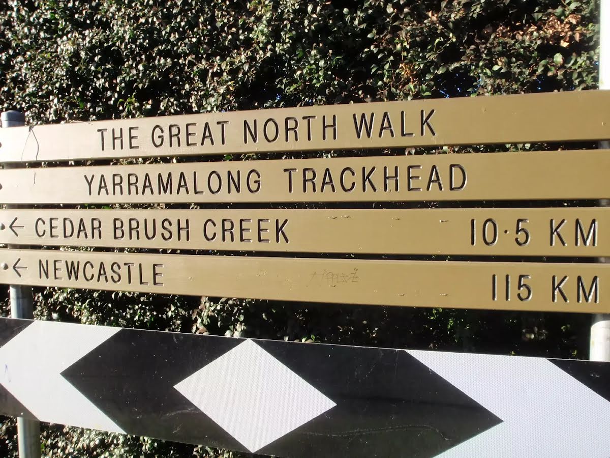
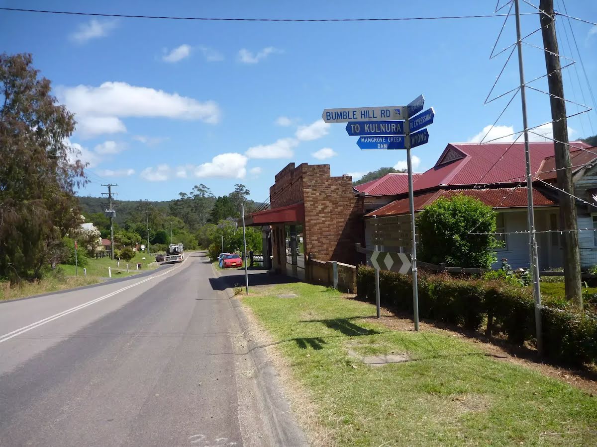
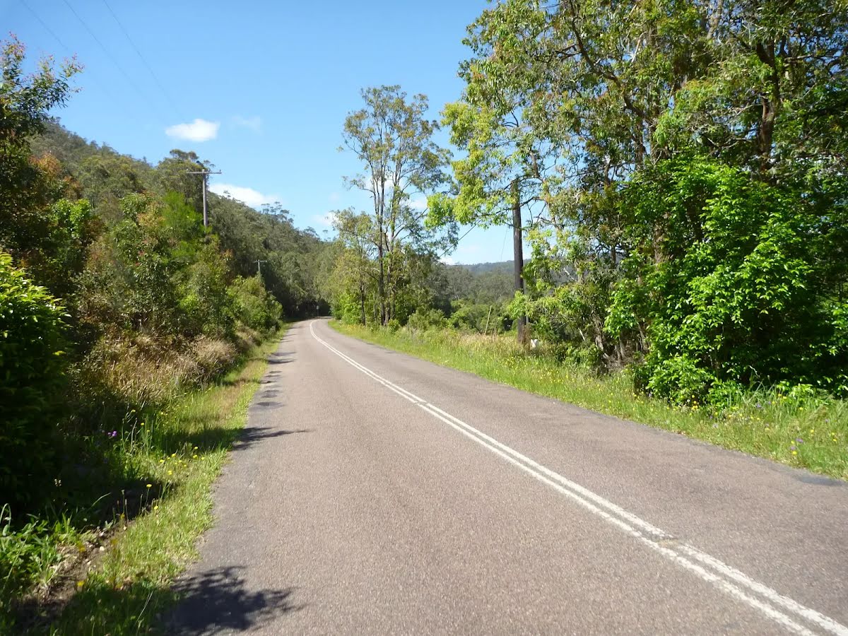
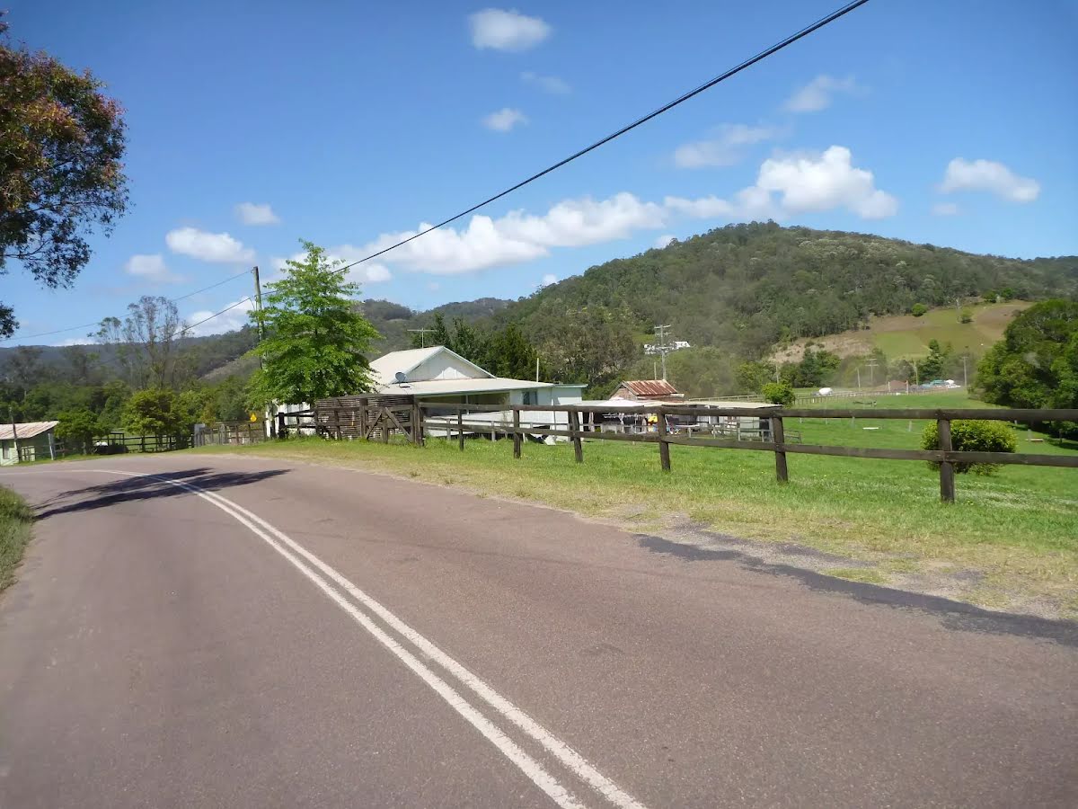
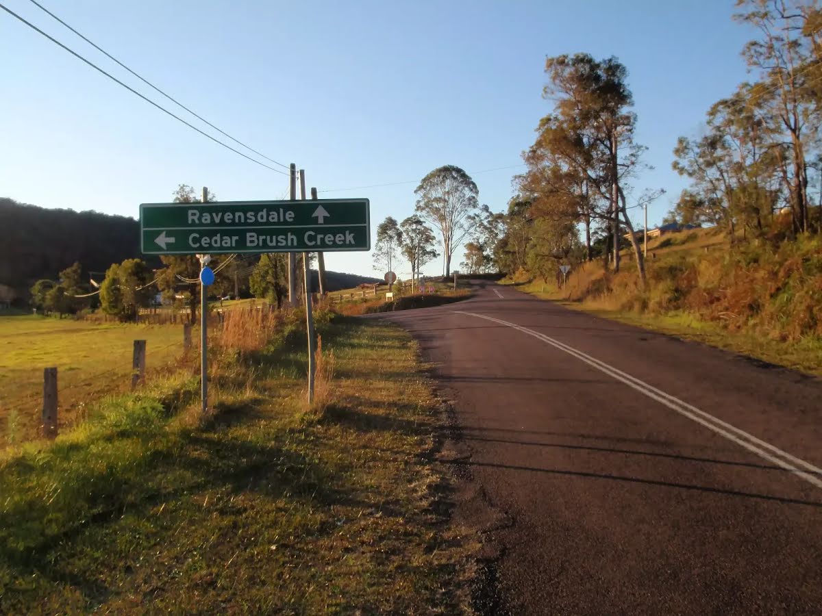
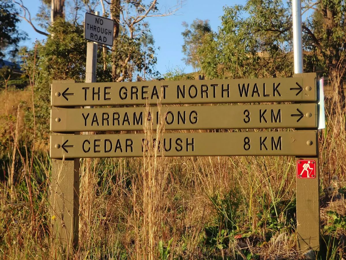
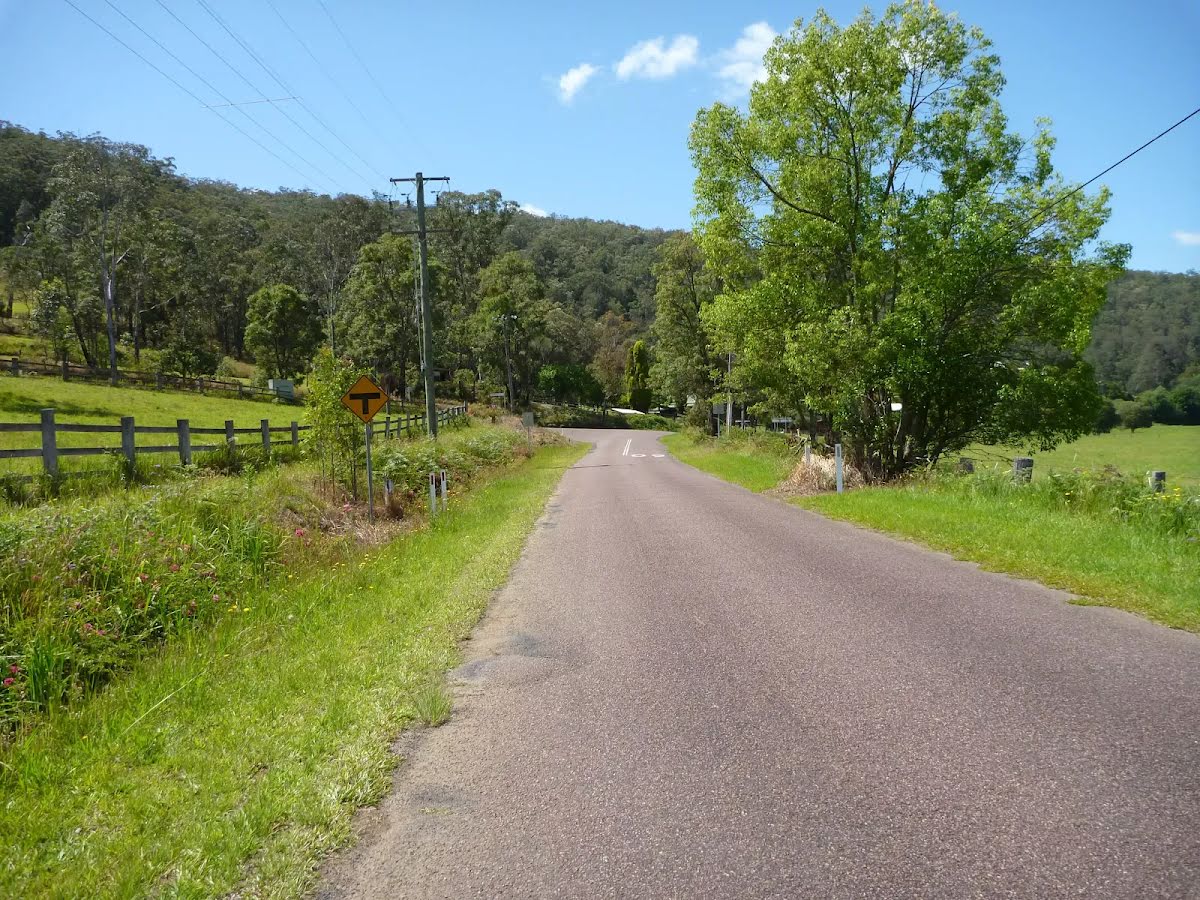
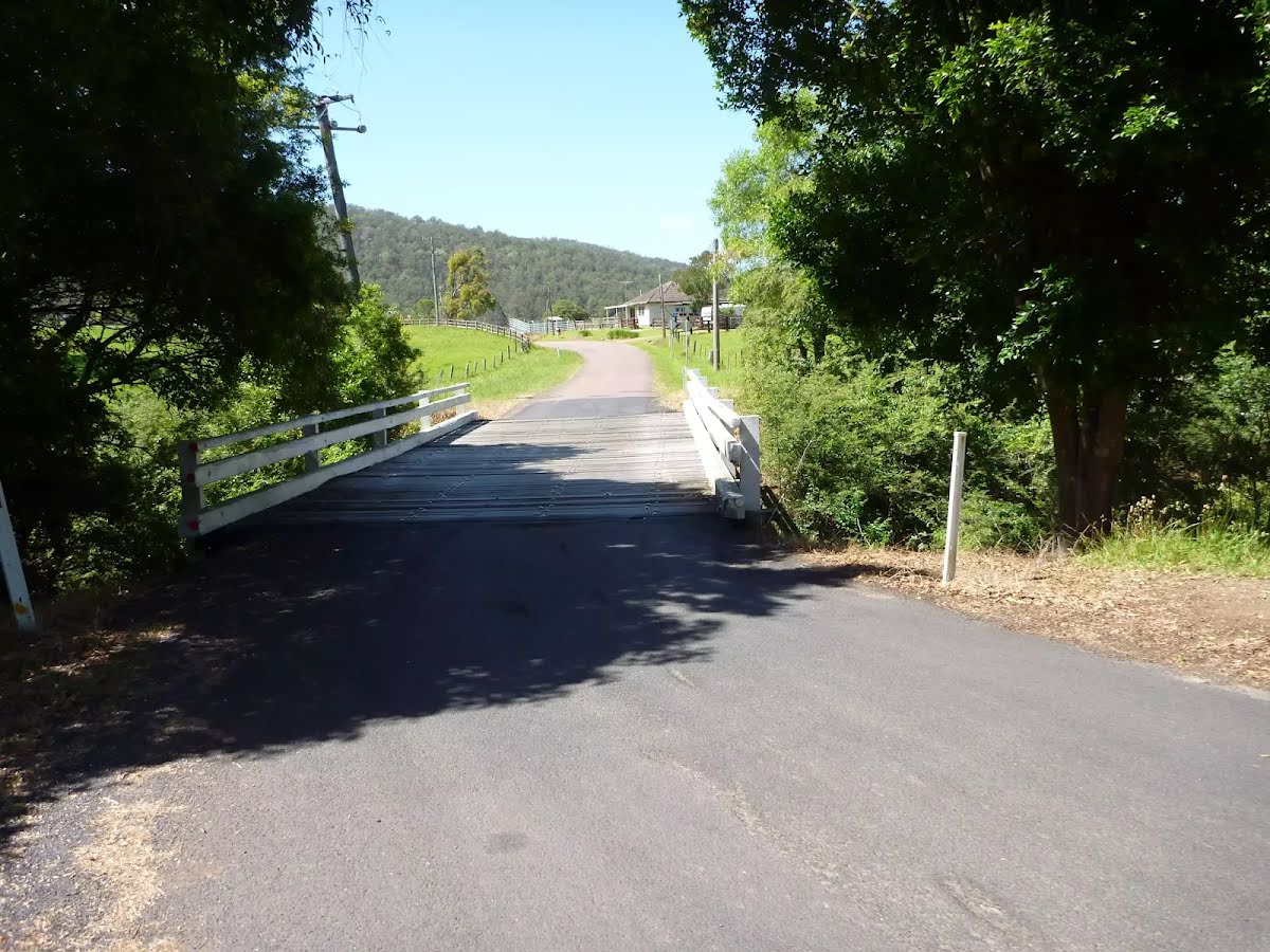
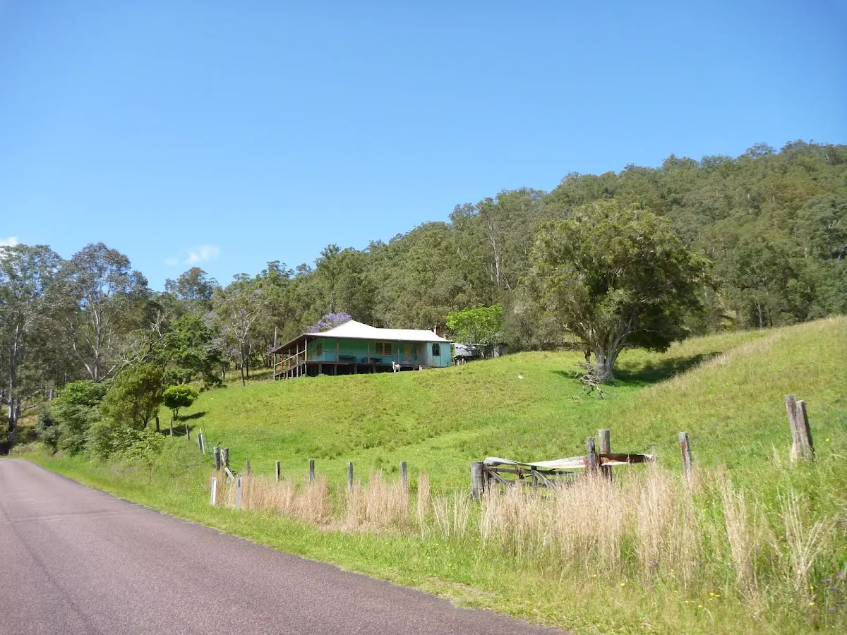
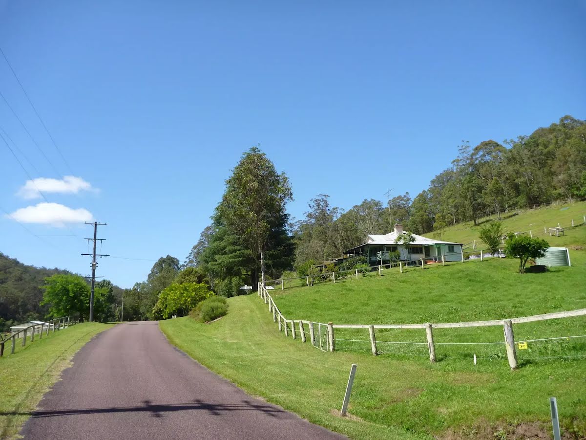
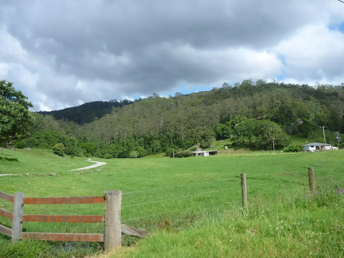
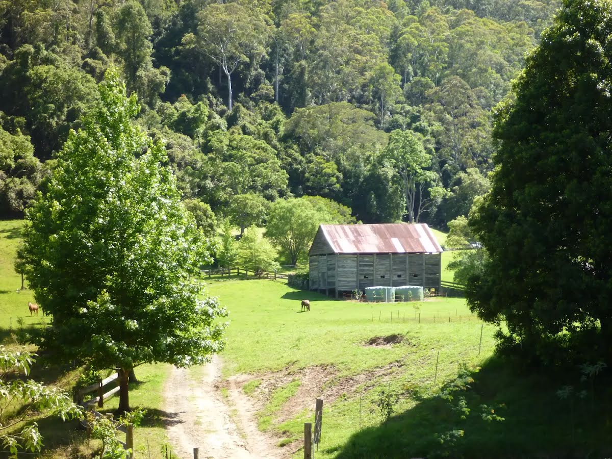
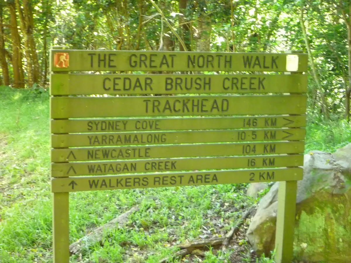
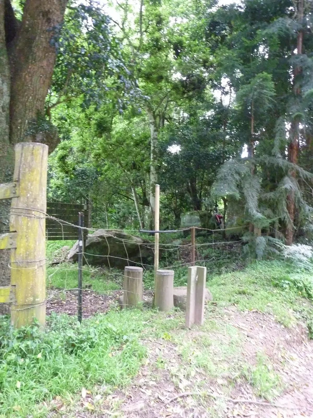
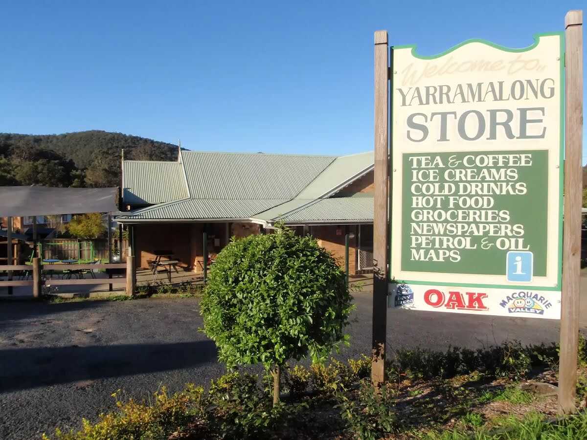
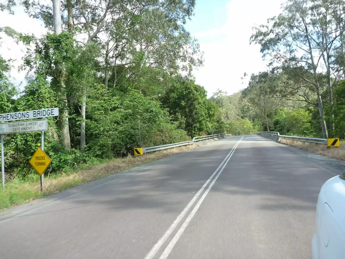
Starting at the quaint Yarramalong township, this walk follows a couple of rural roads to the Cedar Brush Trackhead. This is the longest road stretch on the Great North Walk. Some people see this is a road slog and either grab a lift or power walk it, others see it as an opportunity to stroll through the country side. However you choose to undertake this section of the walk I encourage you to enjoy the valley views and soak up the vibe on the semi secluded rural valley community. Let us begin by acknowledging the Awabakal people, Traditional Custodians of the land on which we travel today, and pay our respects to their Elders past and present. 
Show all
Yarramalong Trackhead. | Photo by admin, 2008.
Yarramalong Trackhead. | Photo by admin, 2010.
Crossing Stephensons Bridge over the Wyong River. | Photo by admin, 2010.
Walking Yarramalong Rd. | Photo by admin, 2010.
Farmland beside Yarramalong Rd. | Photo by admin, 2010.
Intersection of Brush Creek Rd and Ravensdale Rd. | Photo by admin, 2008.
GNW sign at the intersection of Brush Creek Rd and Ravensdale Rd. | Photo by admin, 2008.
Walking along Brush Creek Rd. | Photo by admin, 2010.
Bridge on Brush Creek Rd crossing Wyong River. | Photo by admin, 2010.
Pleasent farm houses on Brush Creek Rd. | Photo by admin, 2010.
Brush Creek Rd. | Photo by admin, 2010.
Gravel section of Brush Creek Rd. | Photo by admin, 2010.
Farmland on Brush Creek Rd. | Photo by admin, 2010.
Pleasent farmscapes from Brush Creek Rd. | Photo by admin, 2010.
Walking past Cedar Tree Farm on Brush Creek Rd. | Photo by admin, 2010.
Bridge over Yorky Waters Gully. | Photo by admin, 2010.
Open farmland near intersection with Kingtree Lane and Misty Valley Lane. | Photo by admin, 2010.
Walking along the dense forest on Brush Creek Rd South of Cedar Brush Trackhead. | Photo by admin, 2010.
Gate beside Cedar Brush Trackhead. | Photo by admin, 2010.
Cedar Brush Creek Trackhead sign. | Photo by admin, 2010.
Stile at Cedar Brush track head . | Photo by admin, 2010.
Map Notes Terrain Reviews Conditions More
Downloads GPX PDF
Some of the information and maps on this page was generated using data from the awesome © OpenStreetMap contributors.
Please see how you can embed some widgets, access data and other stuff to that might be helpful.