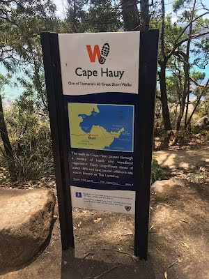
| Start | (-43.1430802,147.9637867) |
| Mode | Car |
| Directions | From Arthur Highway, A9
|

|
|
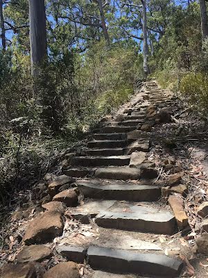
Class 4/6 Hard track |
|---|---|
| Length | 10.1 km |
| Time | 4 h to 5 h 30 min |
| Quality of track | Formed track, with some branches and other obstacles (3/6) |
| Gradient | Very steep (4/6) |
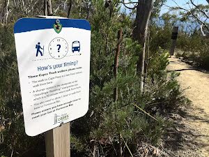
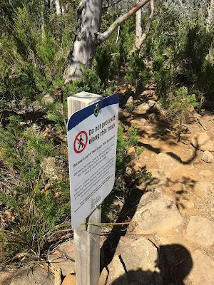
| Signage | Directional signs along the way (3/6) |
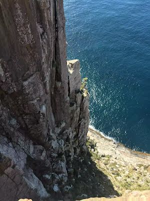
| Infrastructure | Limited facilities, not all cliffs are fenced (3/6) |
| Experience Required | Some bushwalking experience recommended (3/6) |
| Weather | Storms may impact on navigation and safety (3/6) |
| Item | From Start | Name & link to notes |
|---|---|---|
Shelter
| 45 m | BBQ Shelter |
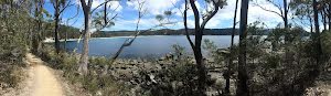
Camp site
| 350 m | Fortescue Bay Campground |
Seat
| 1.6 km | [seat] |