| Start | Mount Bouddi Carpark (-33.5162393,151.403381) |
| Mode | Car (There is free parking available.) |
| Directions | From The Scenic Road
|

|
|
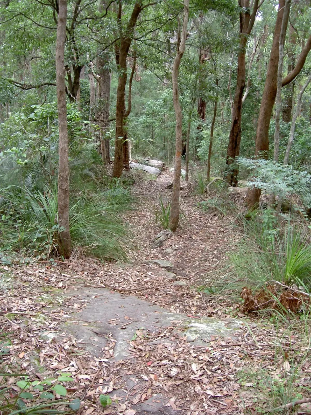
Class 4/6 Hard track |
|---|---|
| Length | 3.8 km |
| Time | 1 h 45 min to 3 h 30 min |
| Quality of track | Rough track, where fallen trees and other obstacles are likely (4/6) |
| Gradient | Very steep (4/6) |
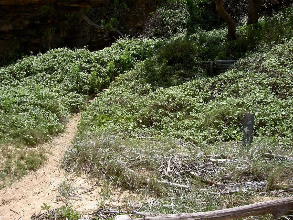
| Signage | Minimal directional signs (4/6) |
| Infrastructure | Limited facilities (such as cliffs not fenced, significant creeks not bridged) (4/6) |
| Experience Required | No experience required (1/6) |
| Weather | Storms may impact on navigation and safety (3/6) |
| Item | From Start | Name & link to notes |
|---|---|---|
Toilet
| 55 m | [toilet] |
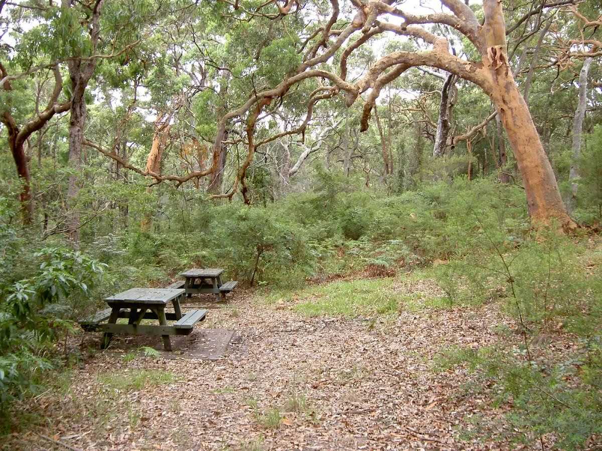
Shelter
| 65 m | Mount Bouddi Picnic Area |