


| Start | (-33.6987484,150.5641909) |
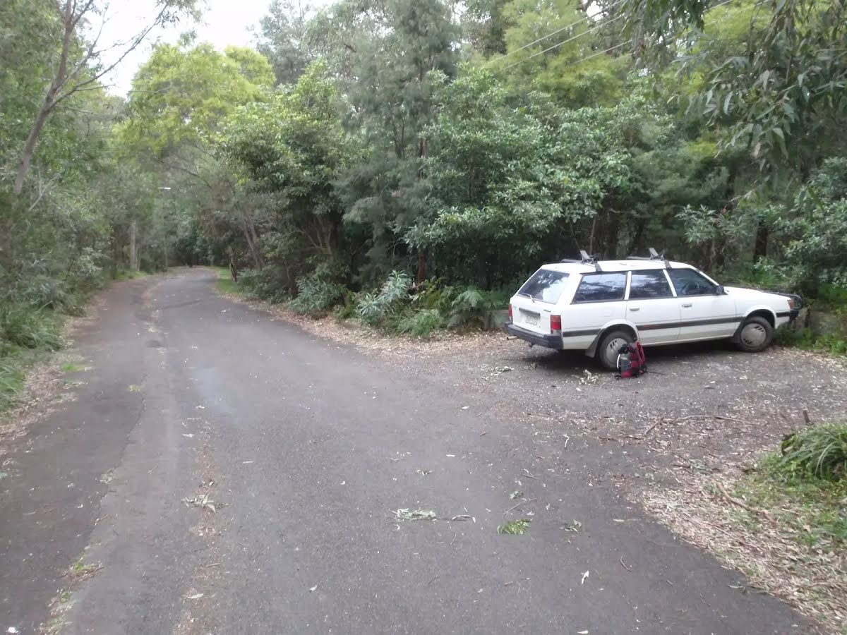
| Mode | Bus Car (There is free parking available.) Train |
| Directions | From Great Western Highway, A32
|
| Turn map | Directions & comments |
|---|---|
 |
|
 |
|
 |
After another 8 m (at the intersection of Macquarie Road & Greenway Lane) turn right, to head along Macquarie Road (a road).
|
 |
|
 |
|
 |
|
 |
|
 |
|
 |
|
 |
|
 |
|
 |
|
 |
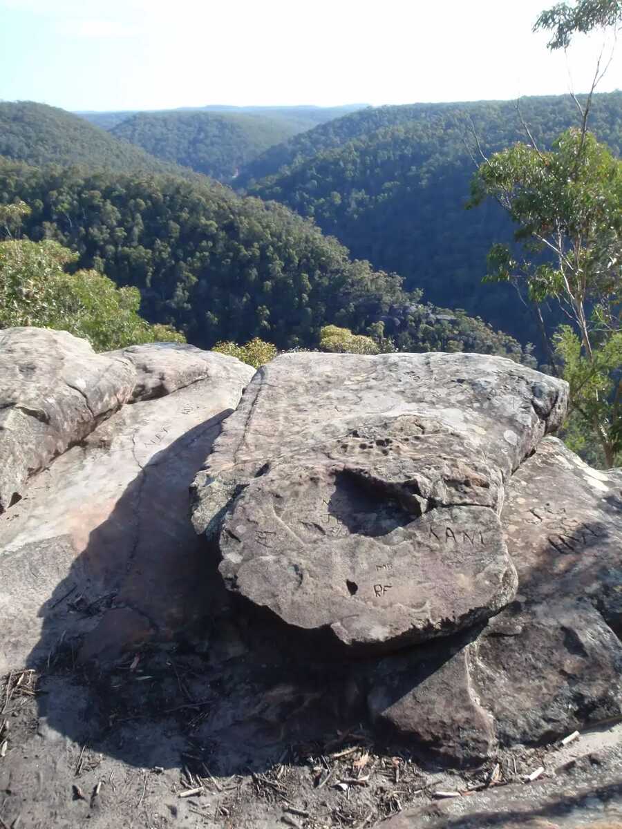
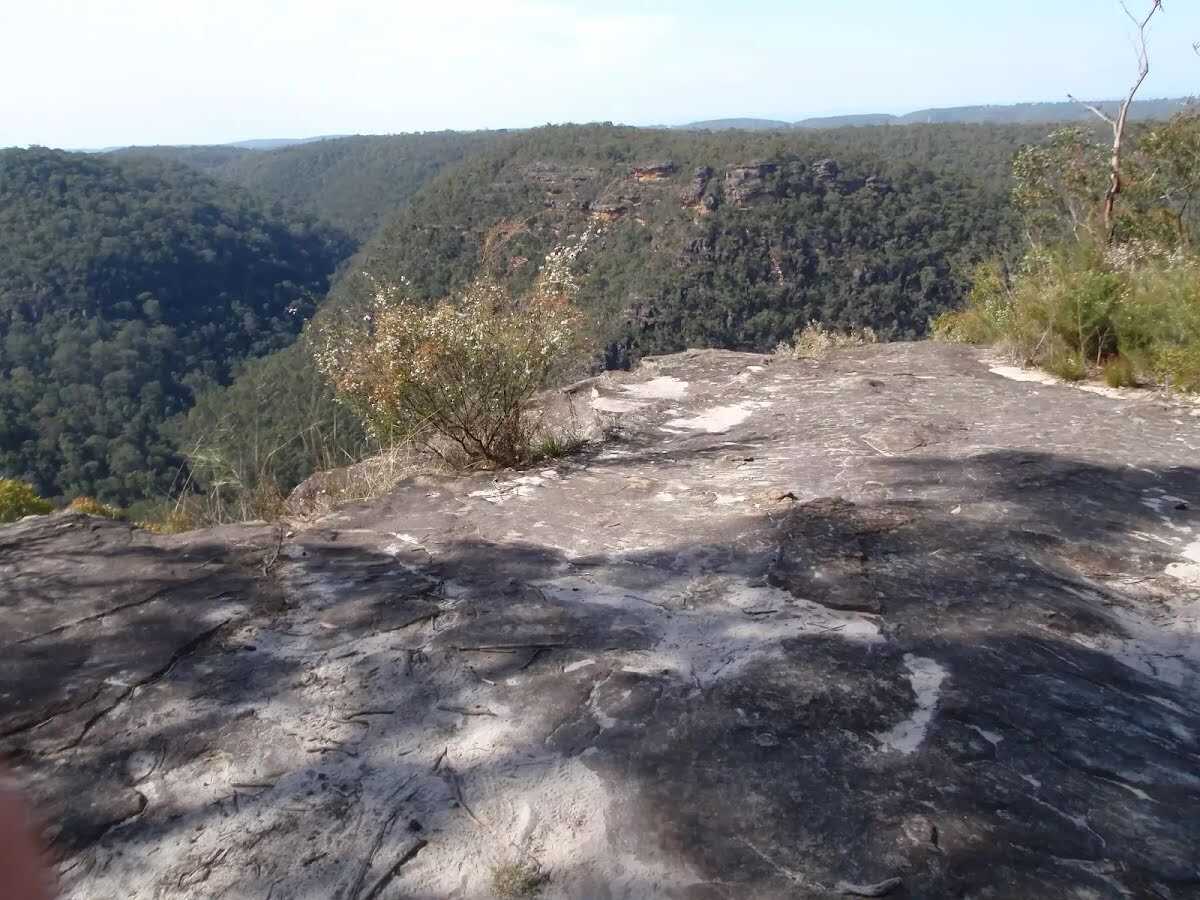
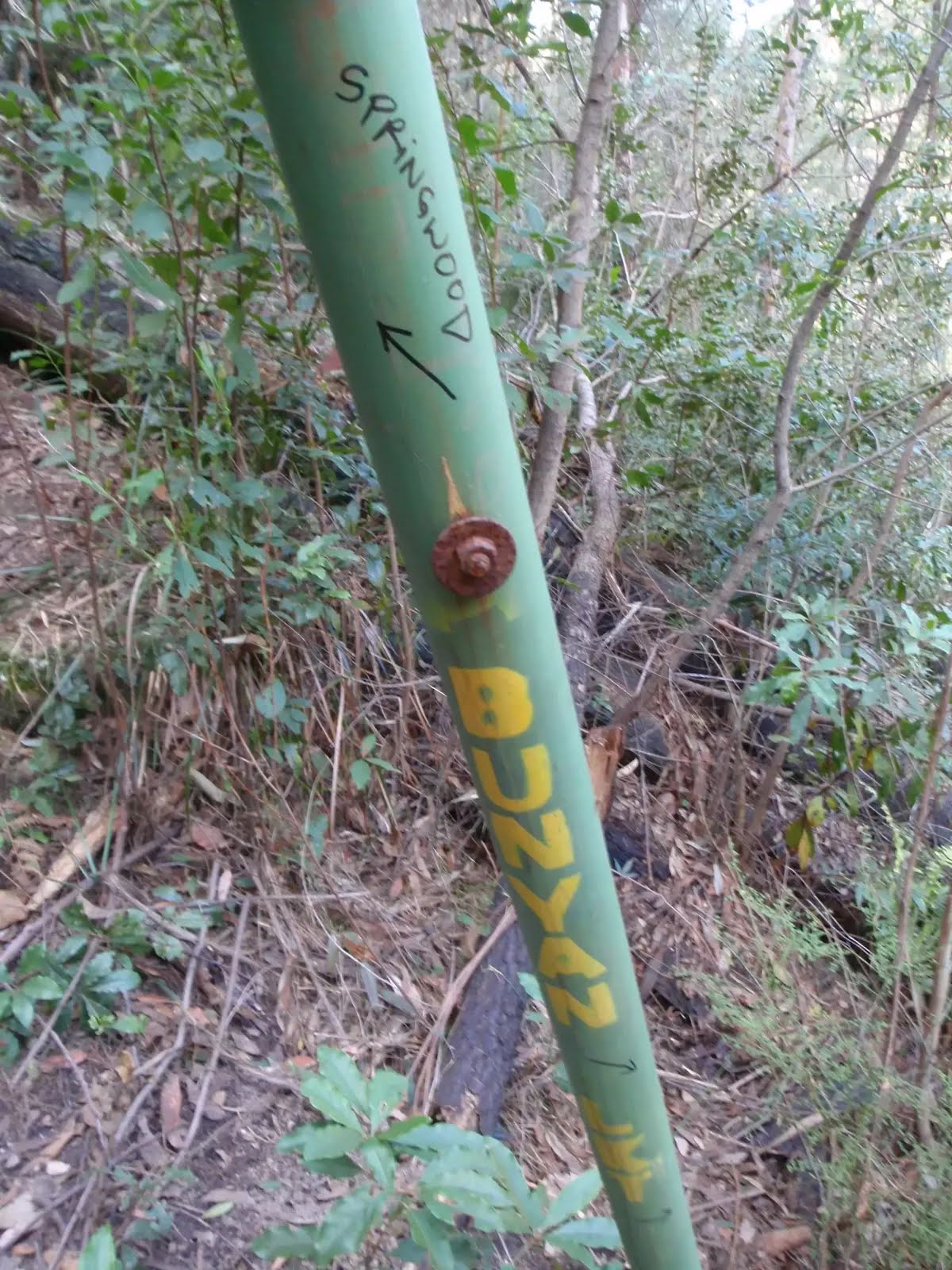
The starting point of an optional sidetrip. An optional side trip to Bunyan Lookout. To start this optional side trip turn right here. On returning from this side trip continue straight when you get back to this intersection. Details below.
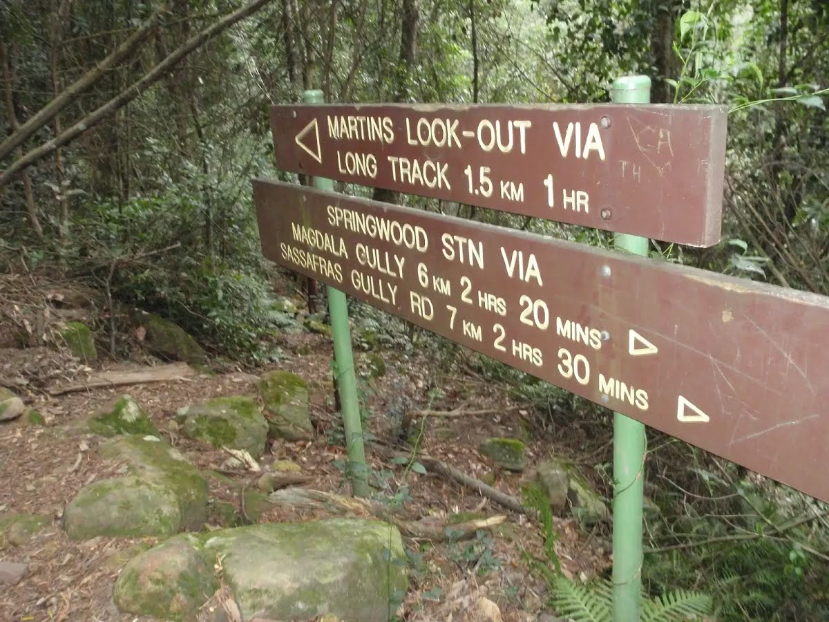
After another 40 m (at the intersection of Kings Link Track & Martins Lookout Track) turn left, to head along Martins Lookout Track.
|
 |
|
 |
|
 |
After another 620 m (at the intersection of Magdala Gully Track & Victory Track) turn right, to head along Magdala Gully Track.
|
 |
|
 |
|
 |
|
 |
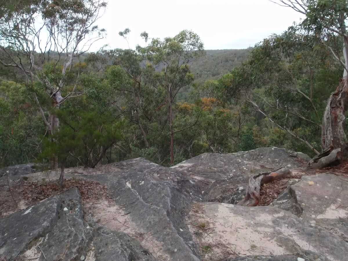
The starting point of an optional sidetrip. An optional side trip to Lawsons Lookout . To start this optional side trip turn sharp right here. On returning from this side trip veer right when you get back to this intersection. Details below.
|
 |
The starting point of an optional sidetrip. An optional side trip to Picnic Point. To start this optional side trip turn left here. On returning from this side trip turn right when you get back to this intersection. Details below.
After another 130 m (from the Magdala Gully Track) continue straight, to head along Magdala Gully Track.
|
 |
After another 90 m (at the intersection of Christine's Place & Magdala Gully Track) turn right, to head along Christine's Place (a footpath).
|
 |
|
 |
|
 |
|
 |
|
 |
| Turn map | Directions & comments |
|---|---|
 |
|
 |
|
 |
|
 |
| Turn map | Directions & comments |
|---|---|
 |
|
 |

|
|
Class 4/6 Hard track |
|---|---|
| Length | 13.8 km |
| Time | 5 h 30 min to 6 h 30 min |
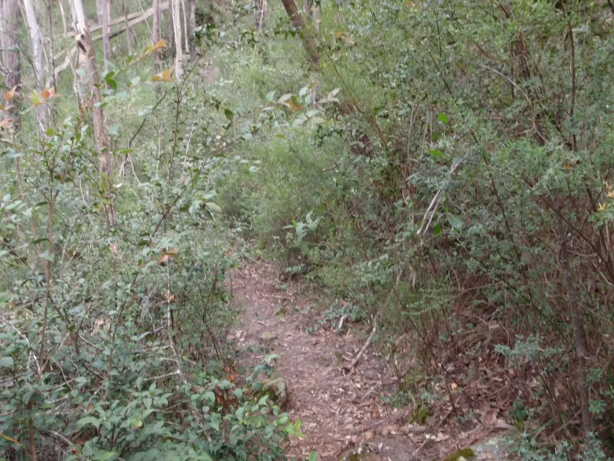
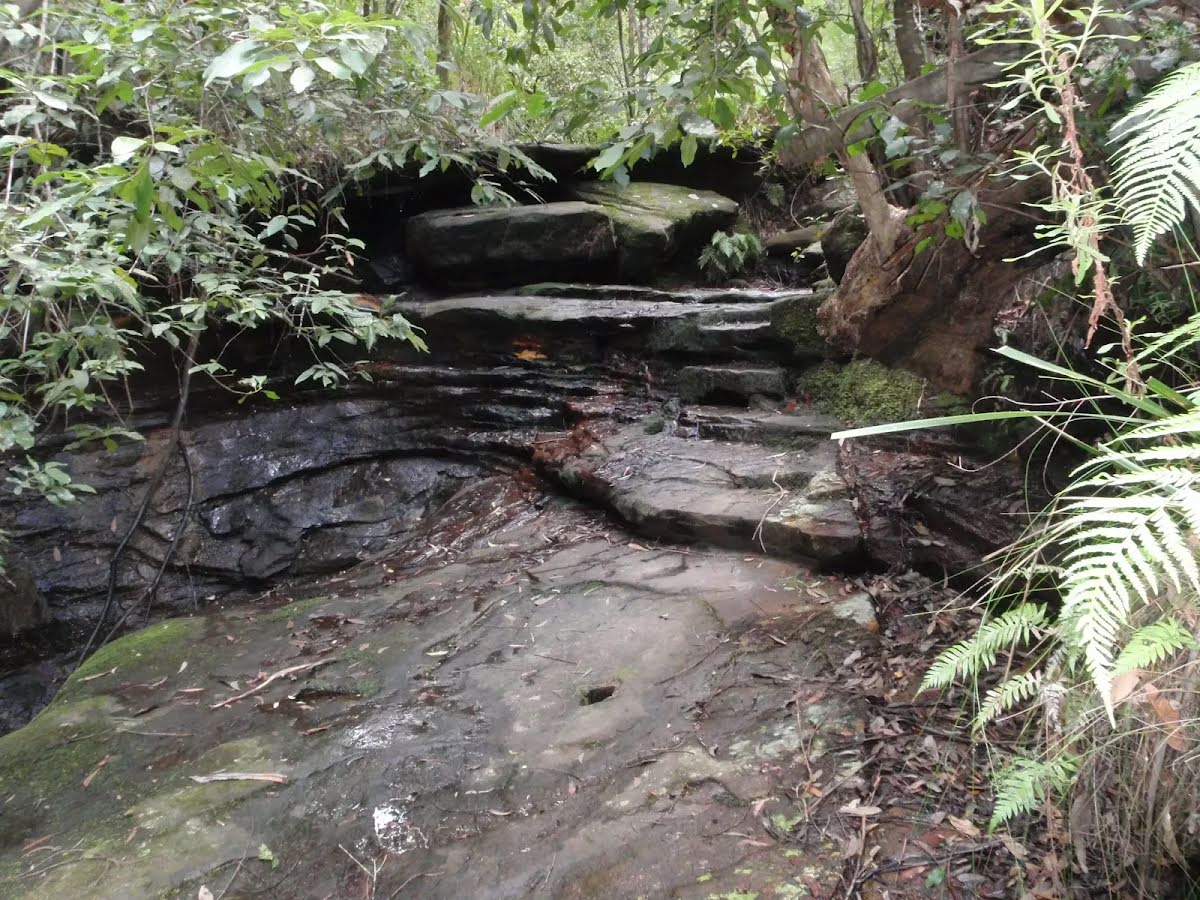
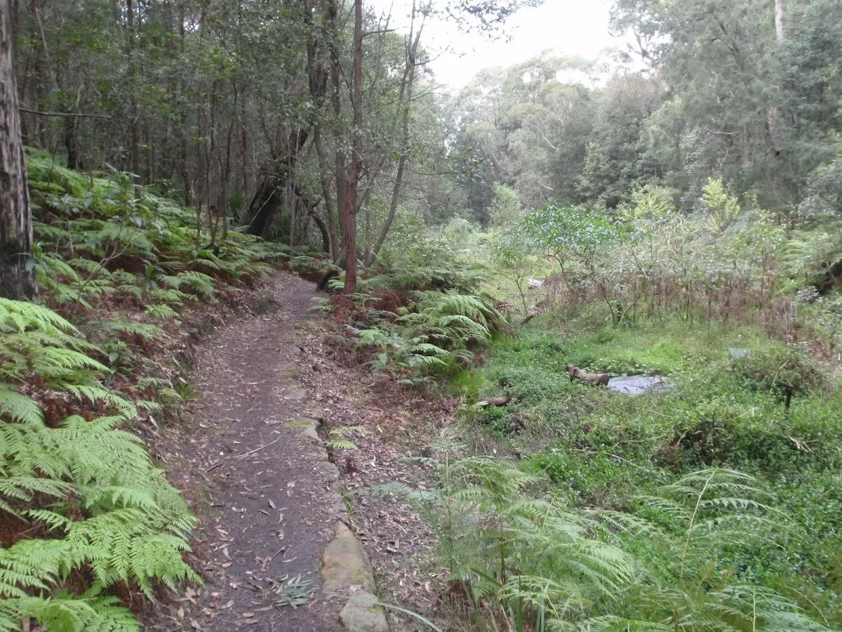
| Quality of track | Rough track, where fallen trees and other obstacles are likely (4/6) |
| Gradient | Very steep (4/6) |
| Signage | Minimal directional signs (4/6) |
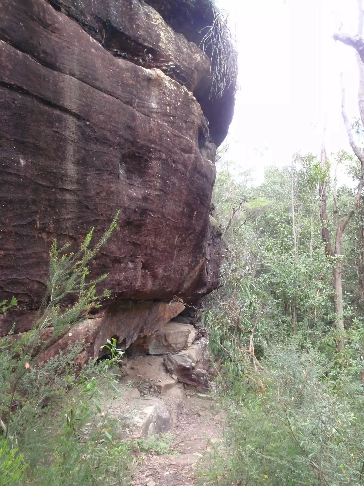
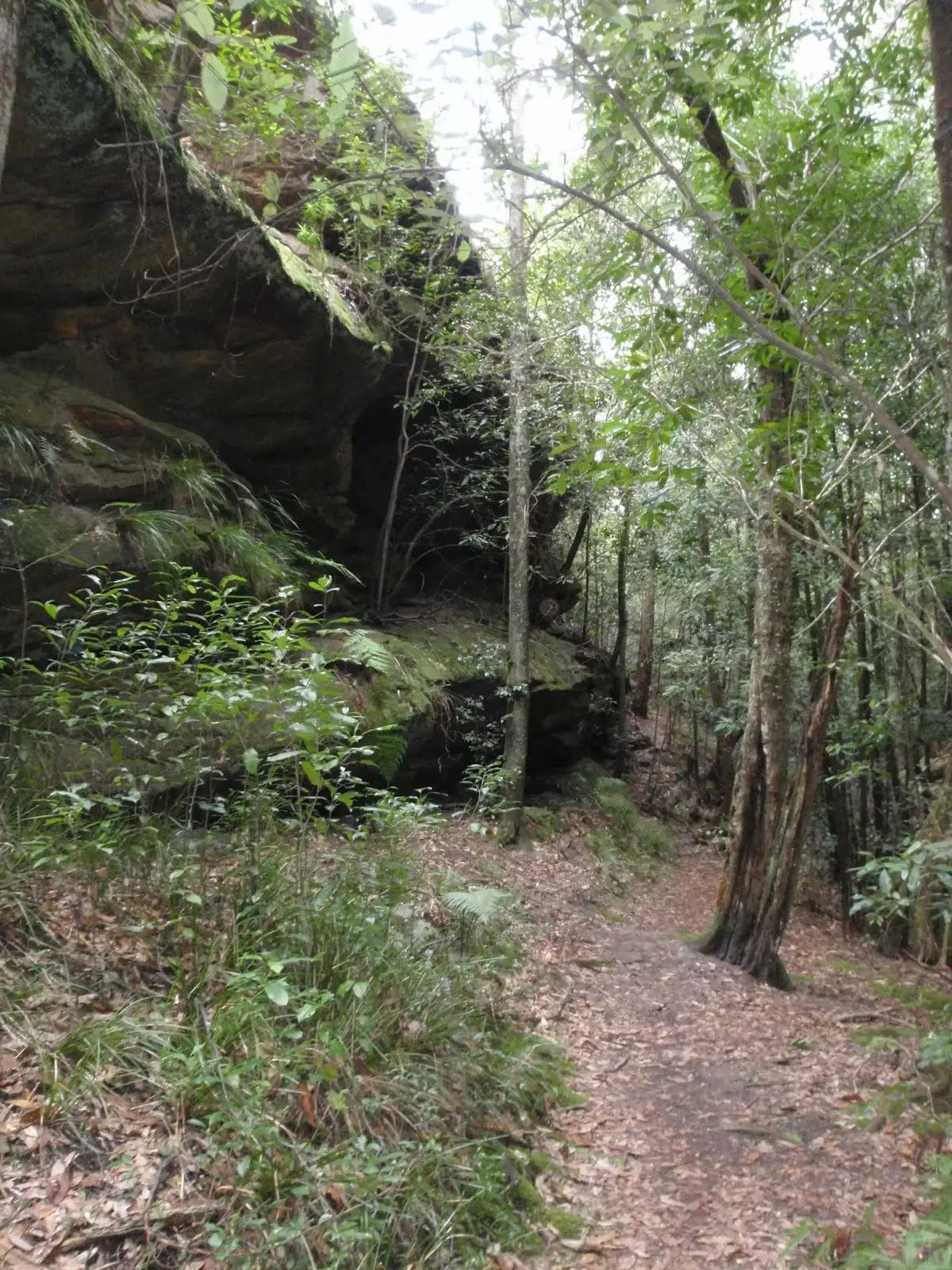
| Infrastructure | Limited facilities (such as cliffs not fenced, significant creeks not bridged) (4/6) |
| Experience Required | No experience required (1/6) |
| Weather | Weather generally has little impact on safety (1/6) |
| Item | From Start | Name & link to notes |
|---|---|---|
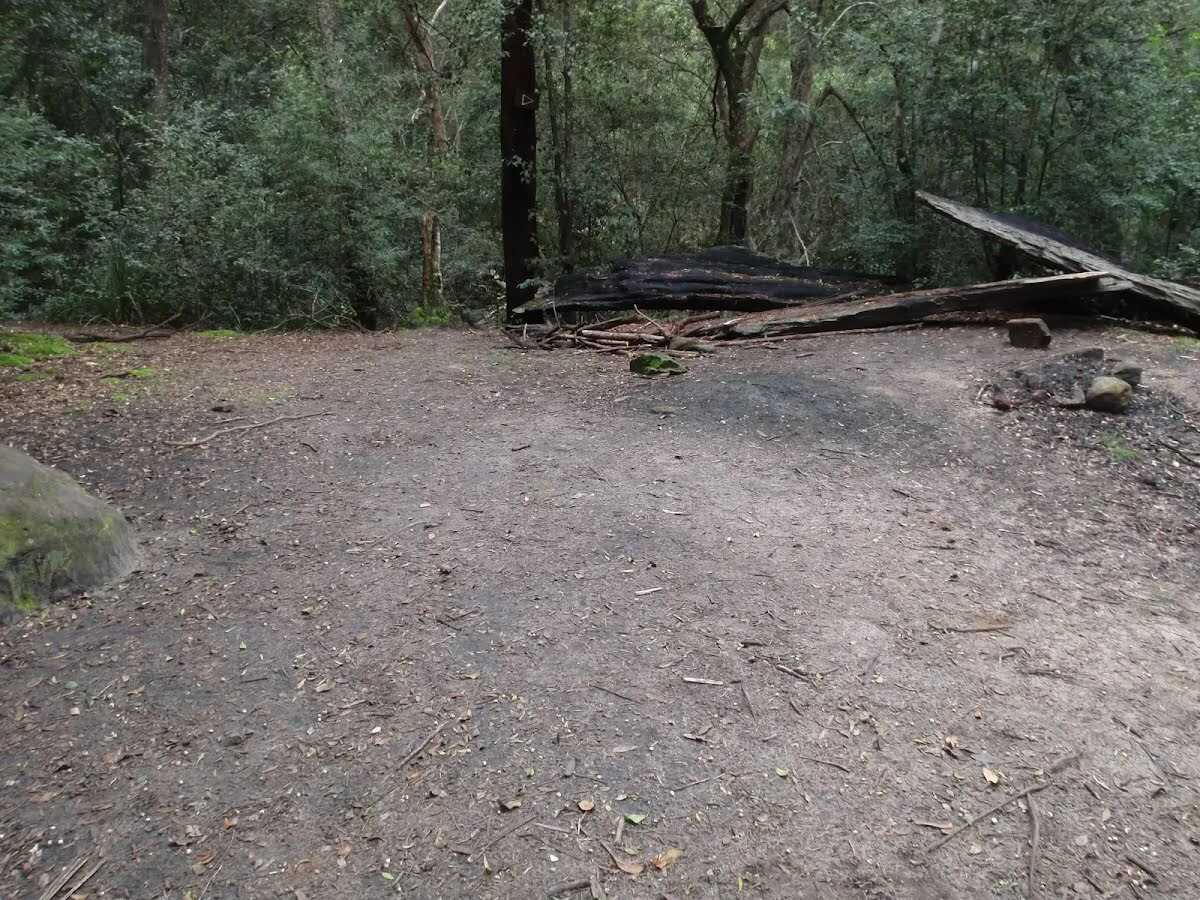
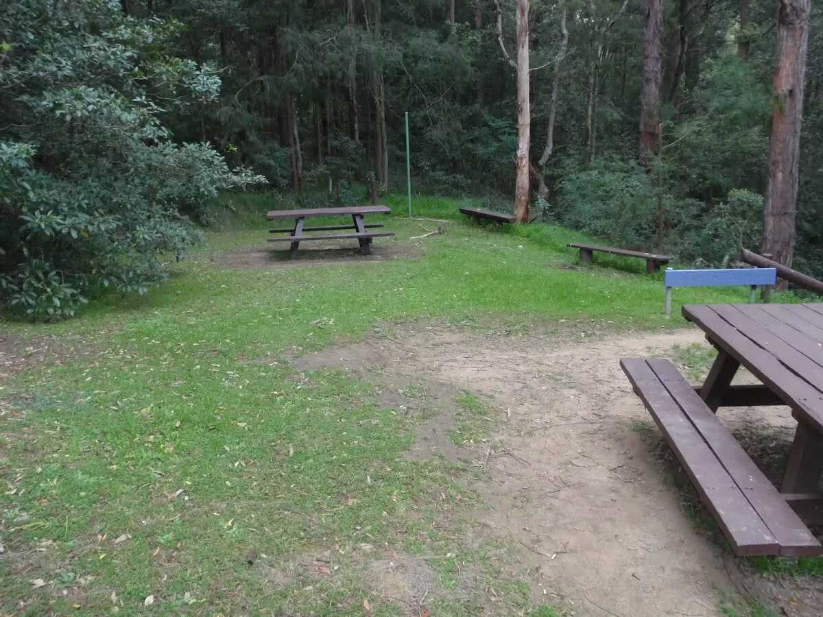
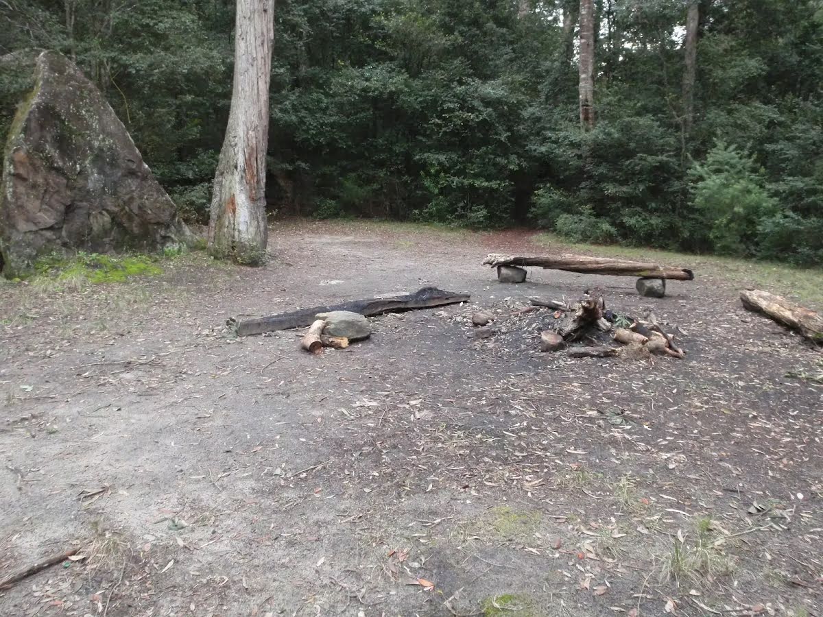
Camp site
| 4.3 km | [camp site] |
Seat
| 4.4 km | [seat] |
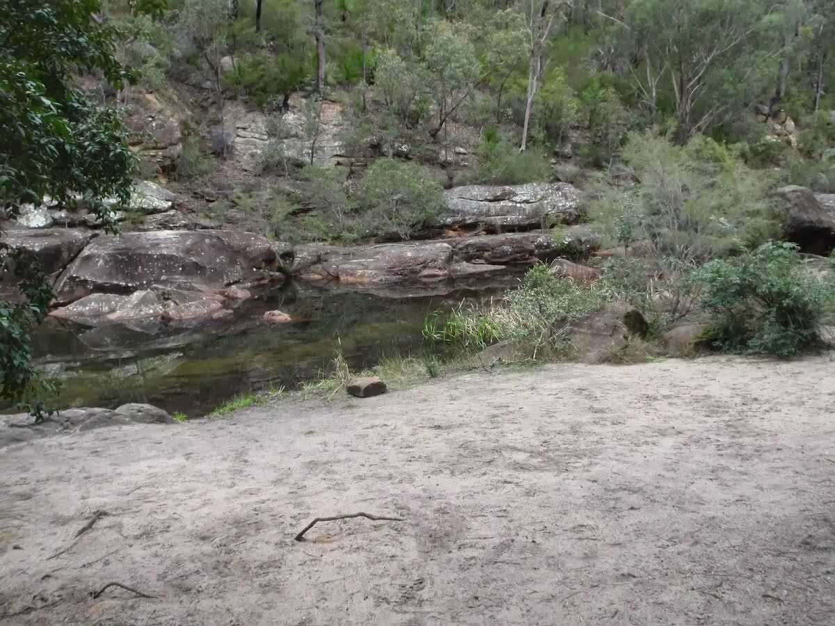
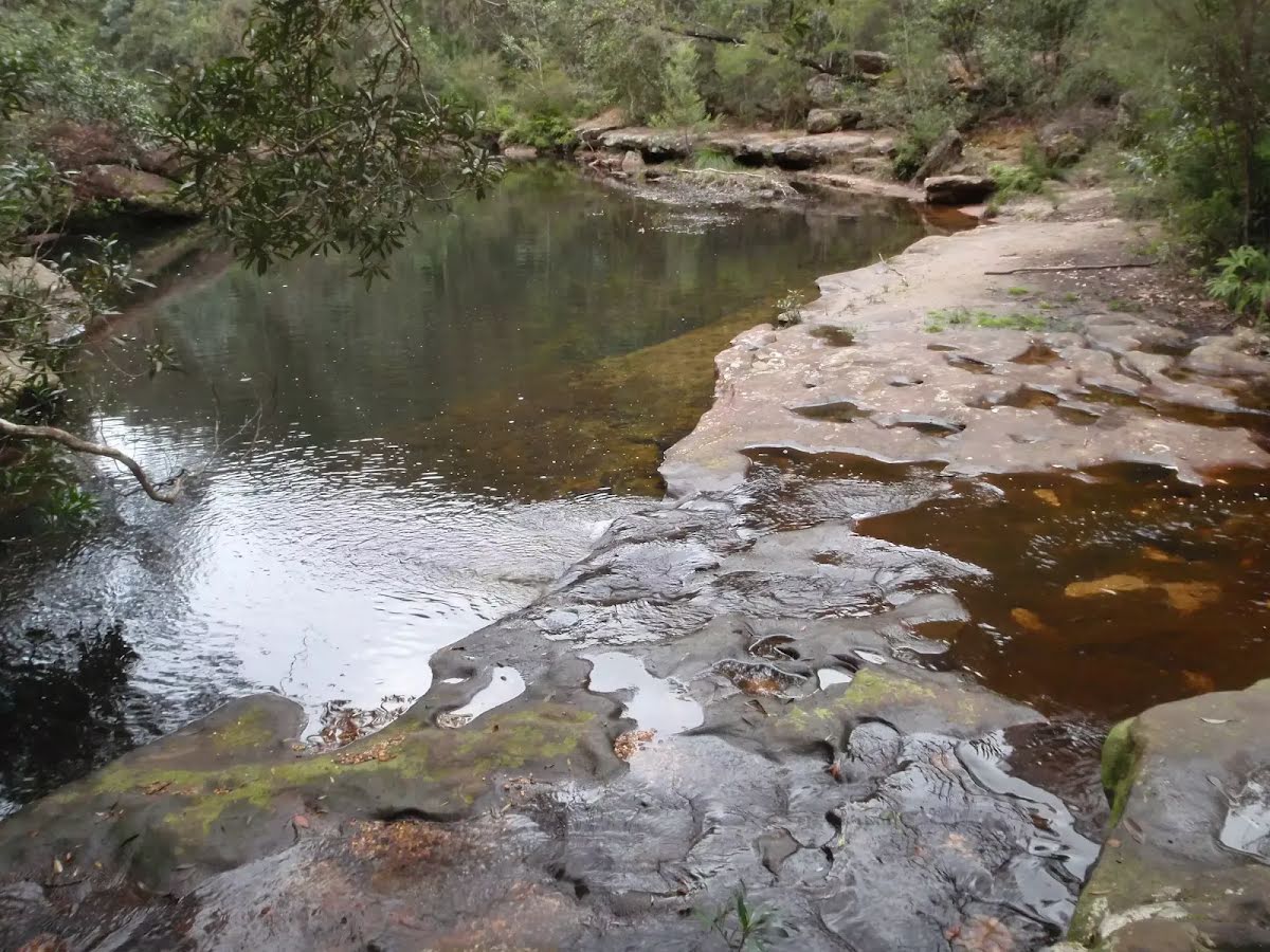
Campsite
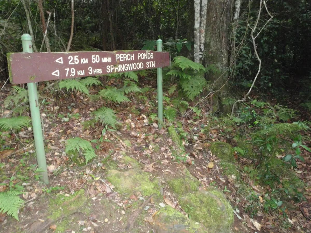
| 5.9 km | Perch Ponds Campsite |
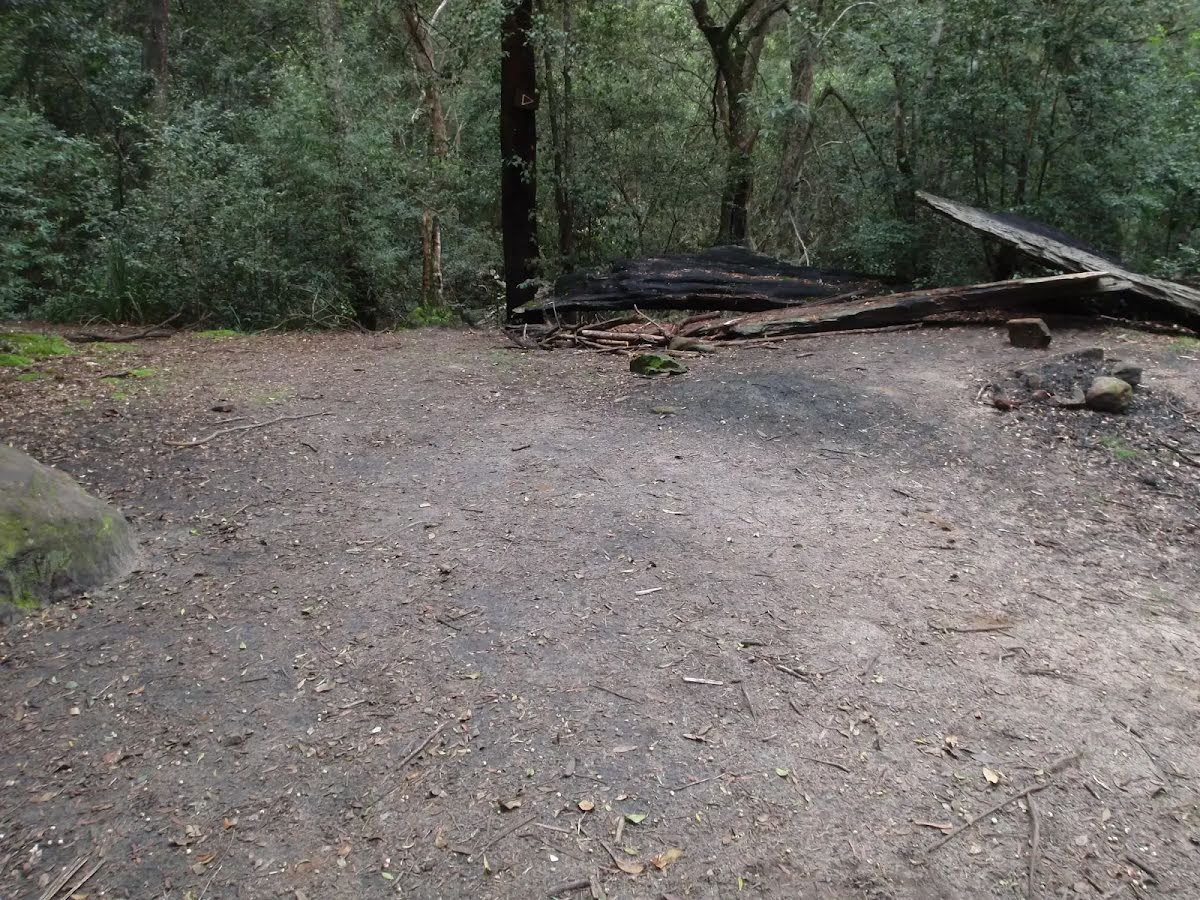
Campsite
| 7.1 km | Martins campsite |
Camp site
| 7.2 km | [camp site] |
Camp site
| 9.2 km | Perch Ponds |
Seat
| 13.7 km | [seat] |