| Start | (-33.6538131,151.1367936) |
| Mode | Bus Car (There is free parking available.) Train |

|
|
Class 4/6 Hard track |
|---|---|
| Length | 9.4 km |
| Time | 3 h 15 min to 4 h |
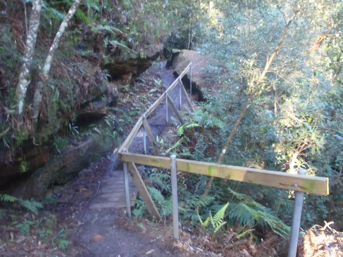
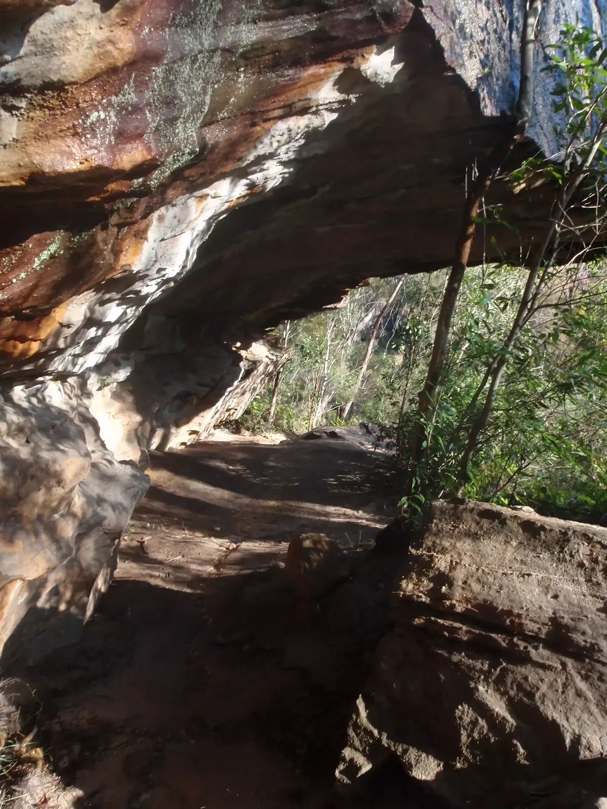
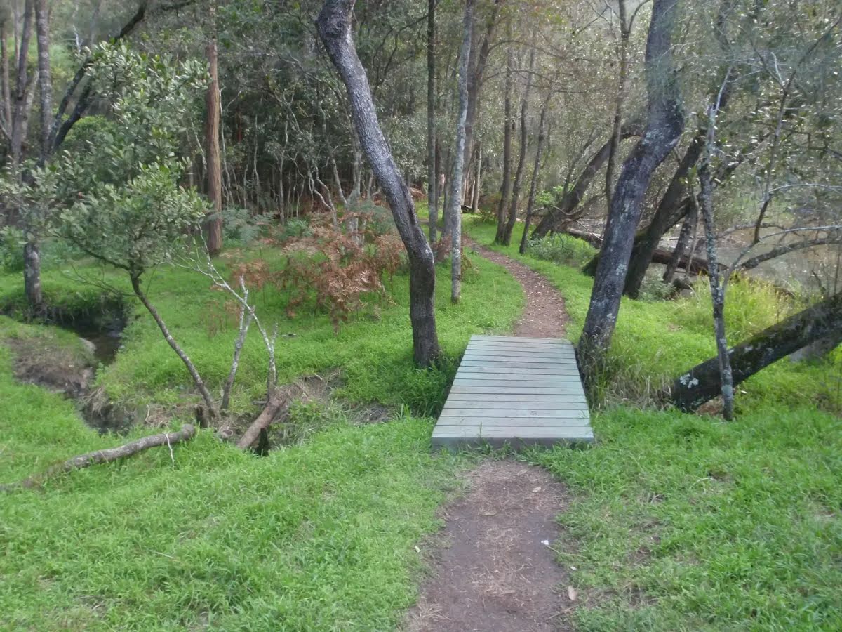
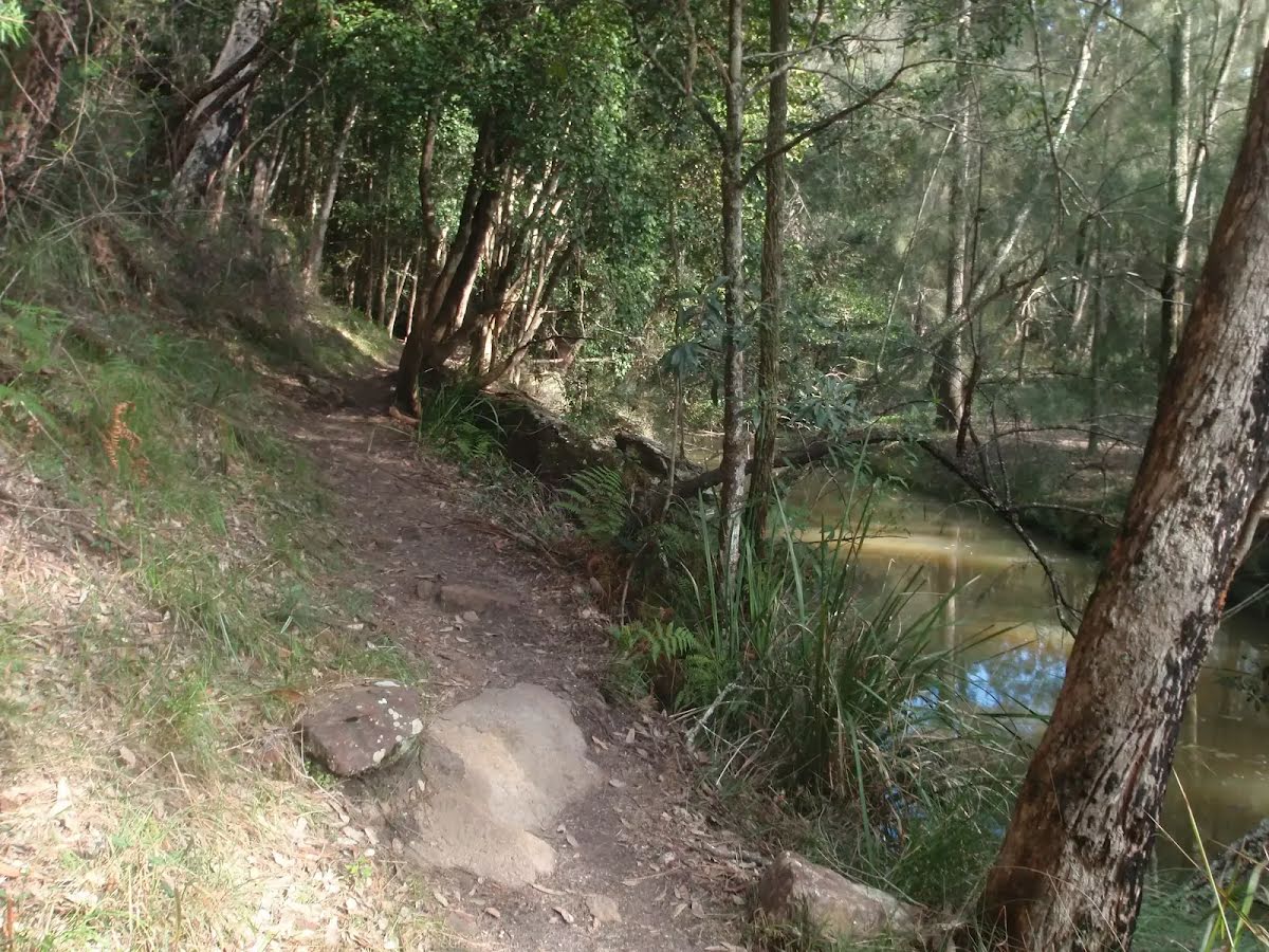
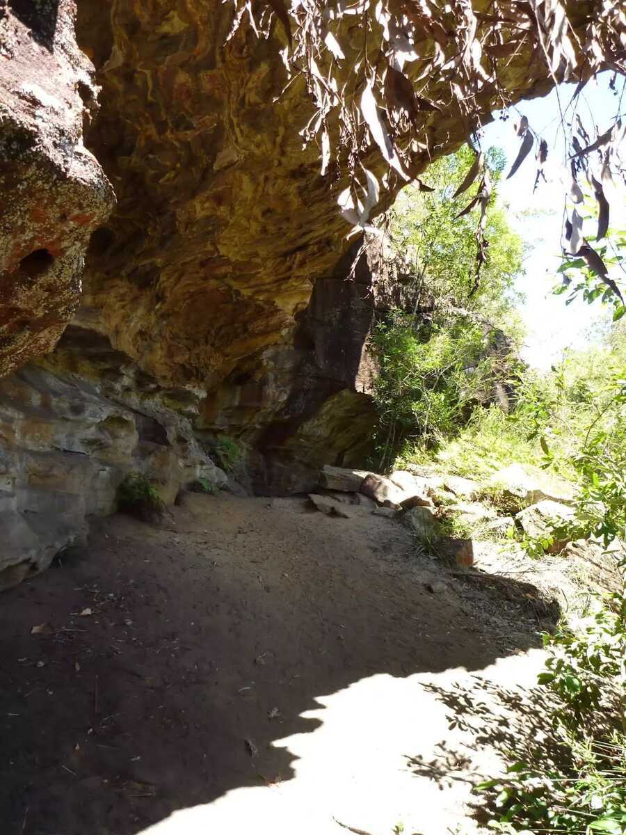
| Quality of track | Rough track, where fallen trees and other obstacles are likely (4/6) |
| Gradient | Short steep hills (3/6) |
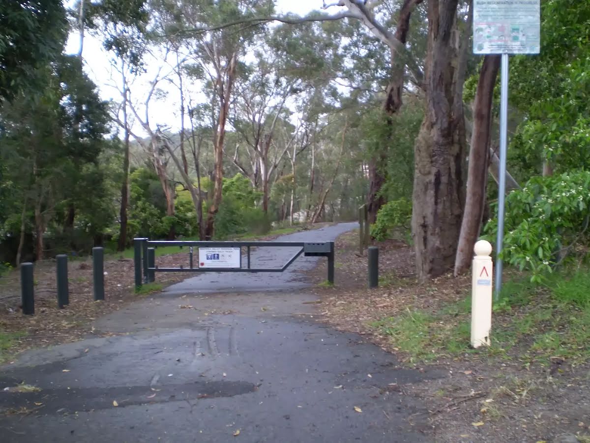
| Signage | Directional signs along the way (3/6) |
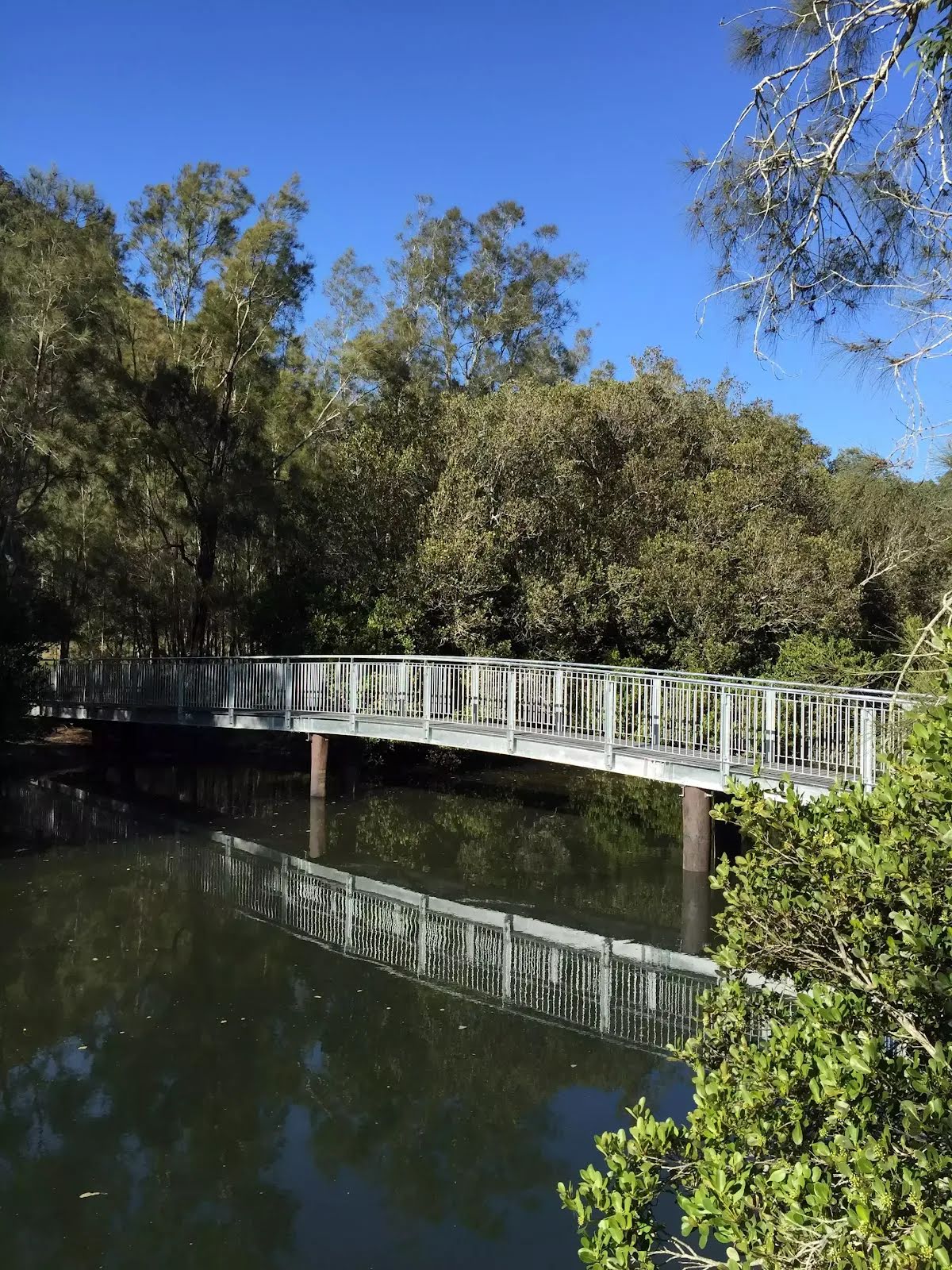
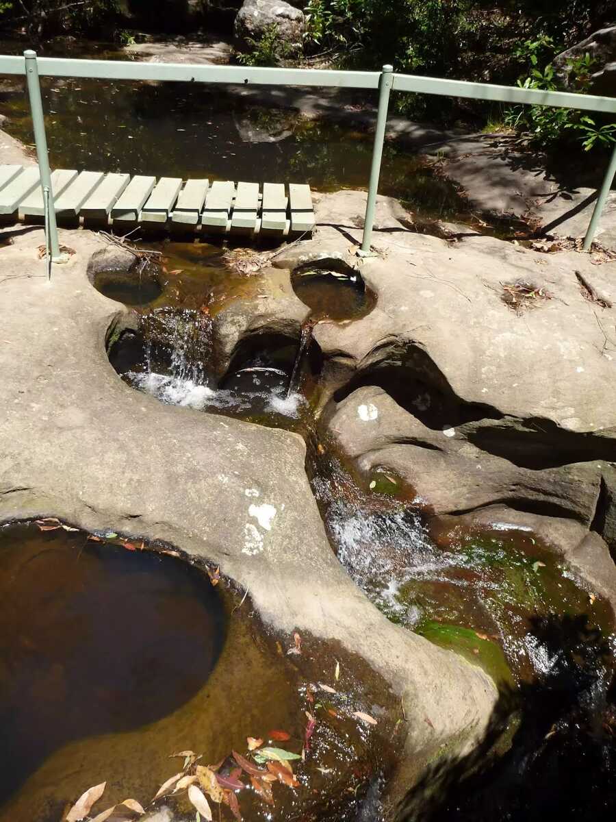
| Infrastructure | Limited facilities, not all cliffs are fenced (3/6) |
| Experience Required | Some bushwalking experience recommended (3/6) |
| Weather | Storms may impact on navigation and safety (3/6) |
| Item | From Start | Name & link to notes |
|---|---|---|
Seat
| 430 m | [seat] |
Seat
| 530 m | [seat] |
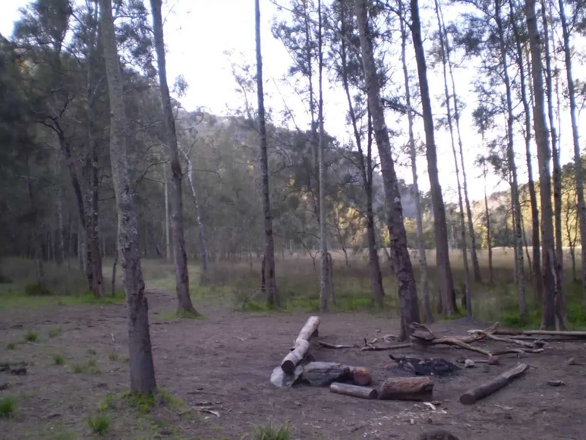
Campsite
| 4.2 km | Calna Creek Campsite (south) |
Campsite
| 4.7 km | Calna Creek Campsite (north) |
Seat
| 4.8 km | [seat] |