


| Start | From the Victoria Falls Road (-33.5736804,150.2921125) |
| Mode | Car (There is free parking available.) |
| Directions | From Great Western Highway, A32
|
| Finish | (-33.633943,150.2844665) |
| Mode (end) | Car Shuttle Bus Car (There is free parking available.) Train |
| Turn map | Directions & comments |
|---|---|
 |
|
 |
|
 |
|
 |
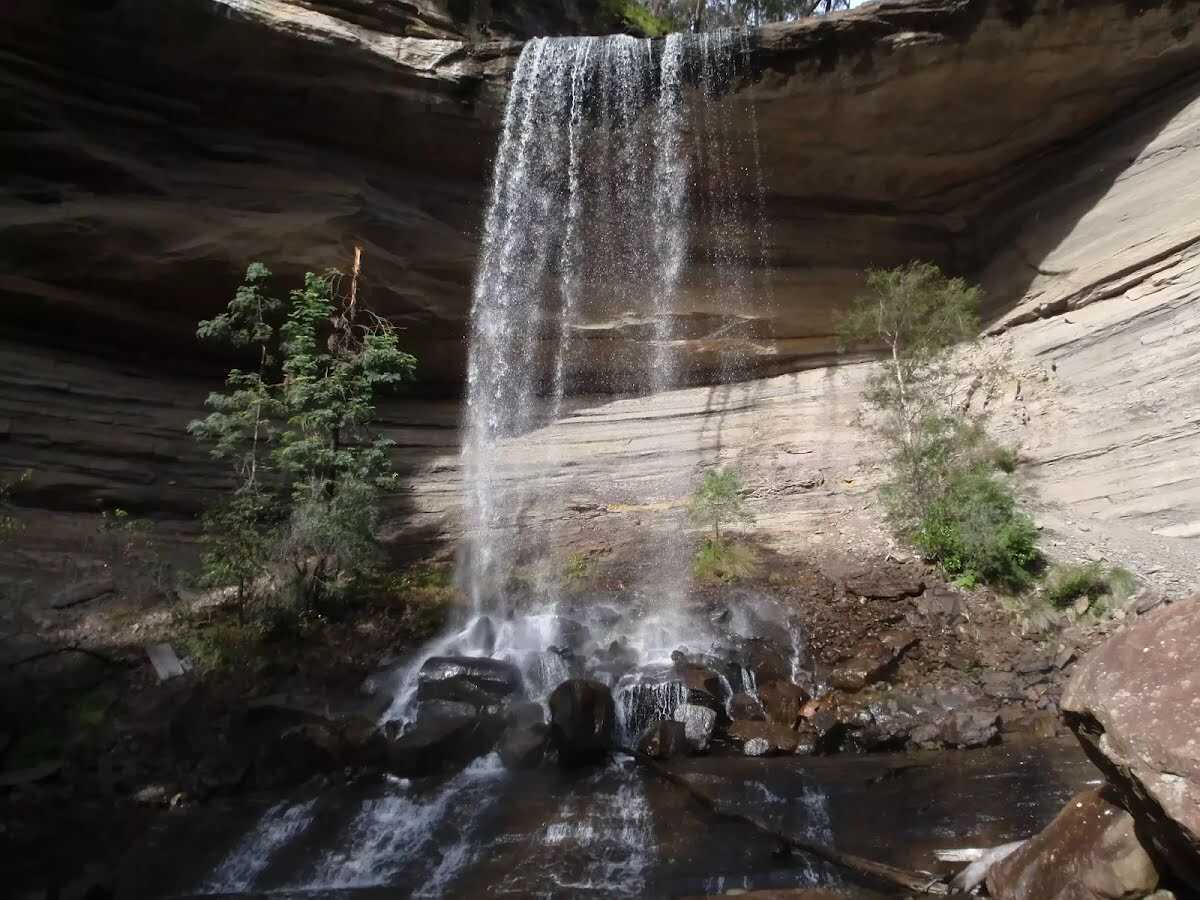
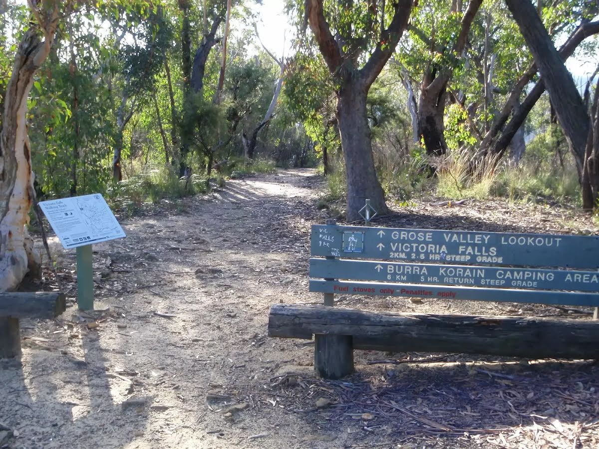
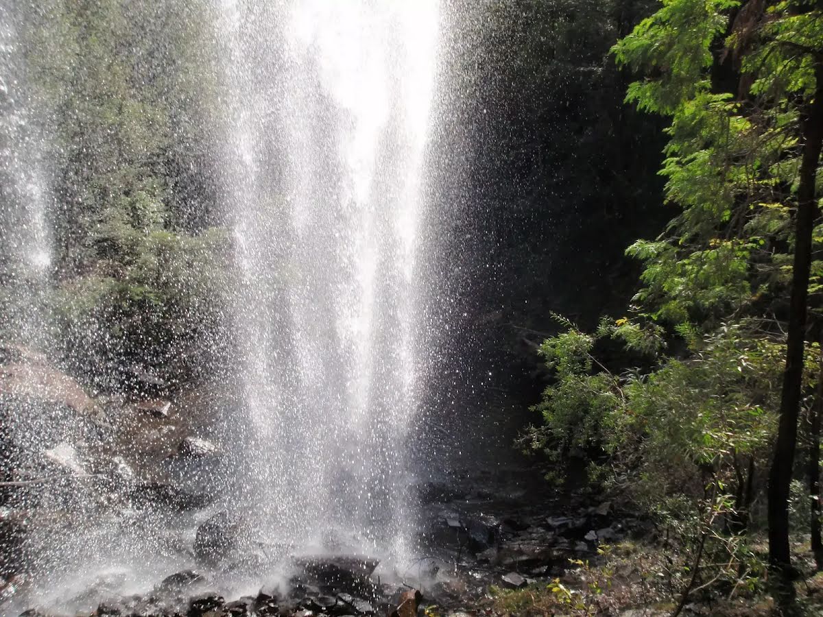
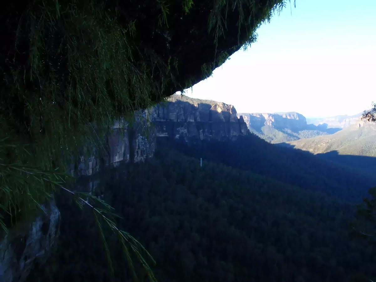
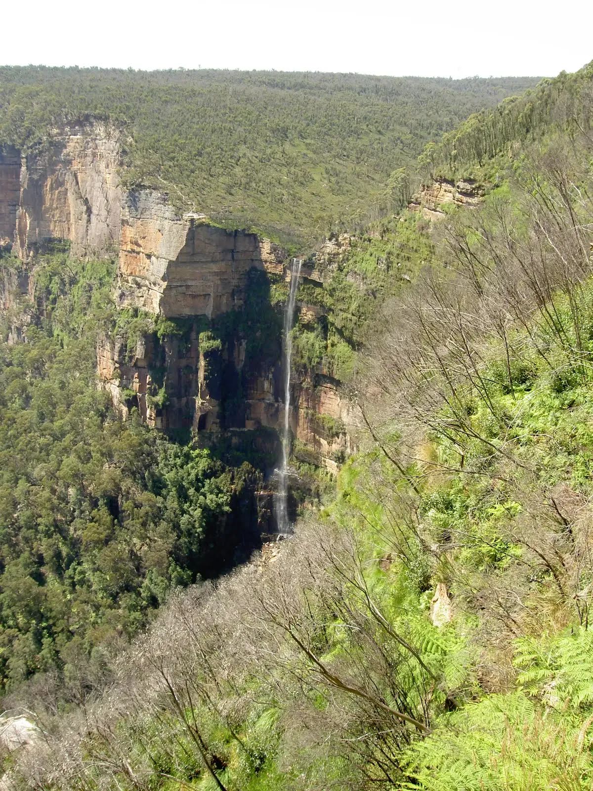
The starting point of an optional sidetrip. An optional side trip to Victoria Falls. To start this optional side trip turn around here. On returning from this side trip continue straight when you get back to this intersection. Details below.
|
 |
|
 |
|
 |
|
 |
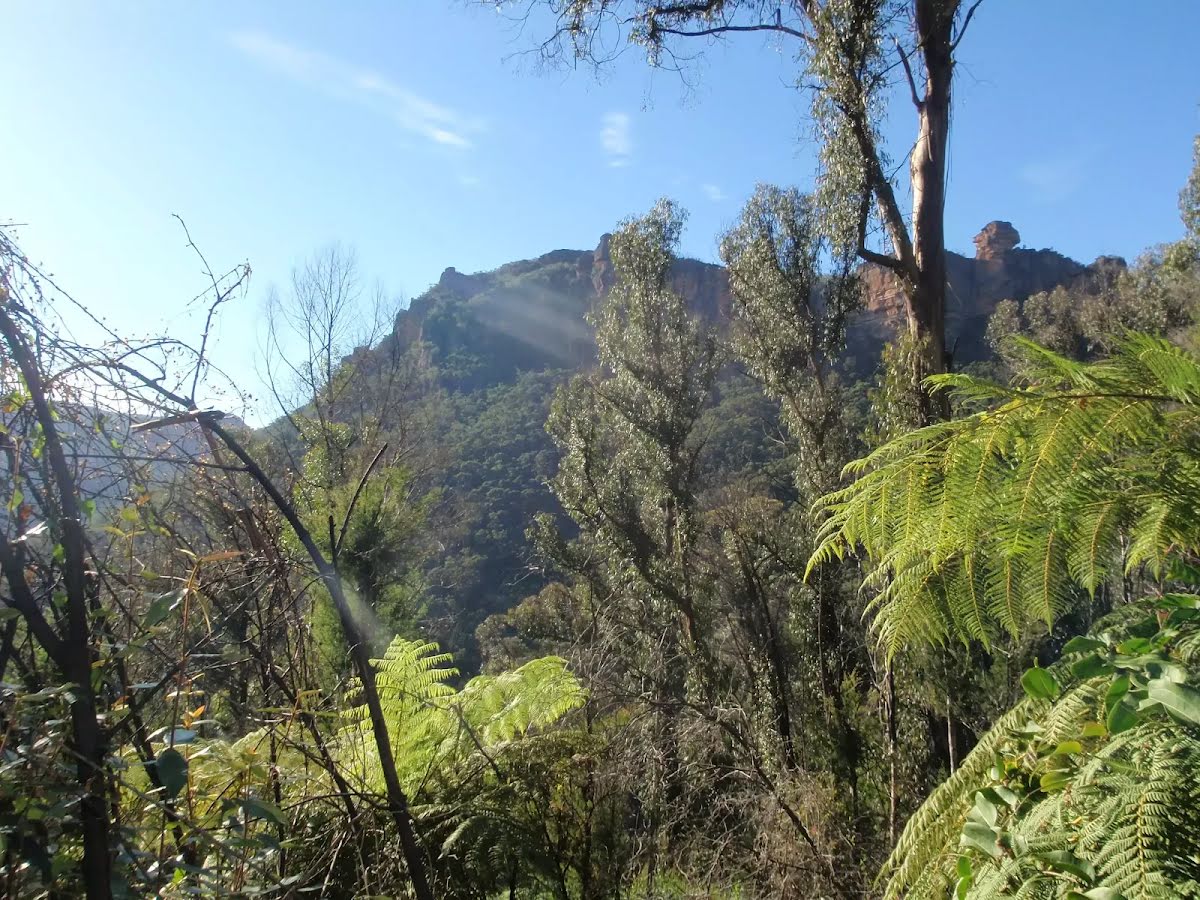
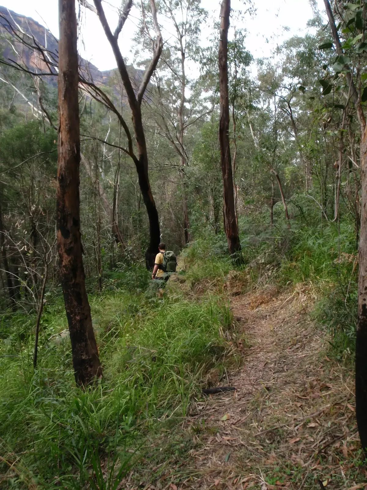
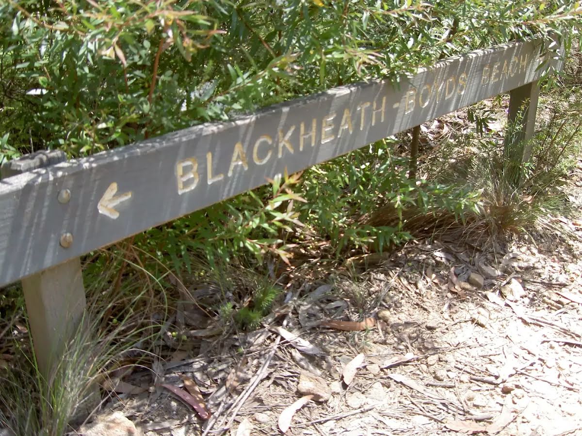
After another 110 m (at the intersection of Perrys Track & Shortridge Pass) continue straight, to head along Blue Gum Forest Track.
|
 |
|
 |
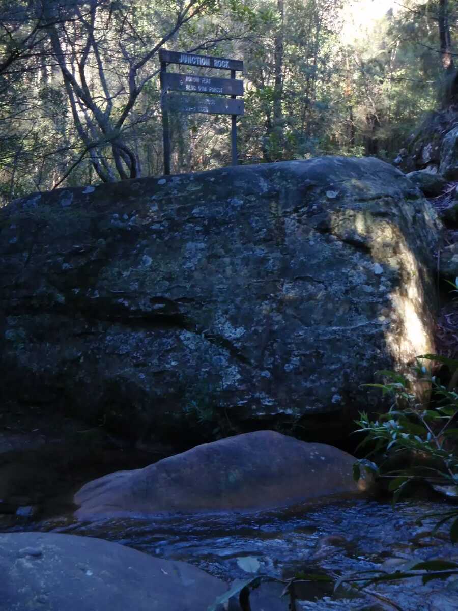
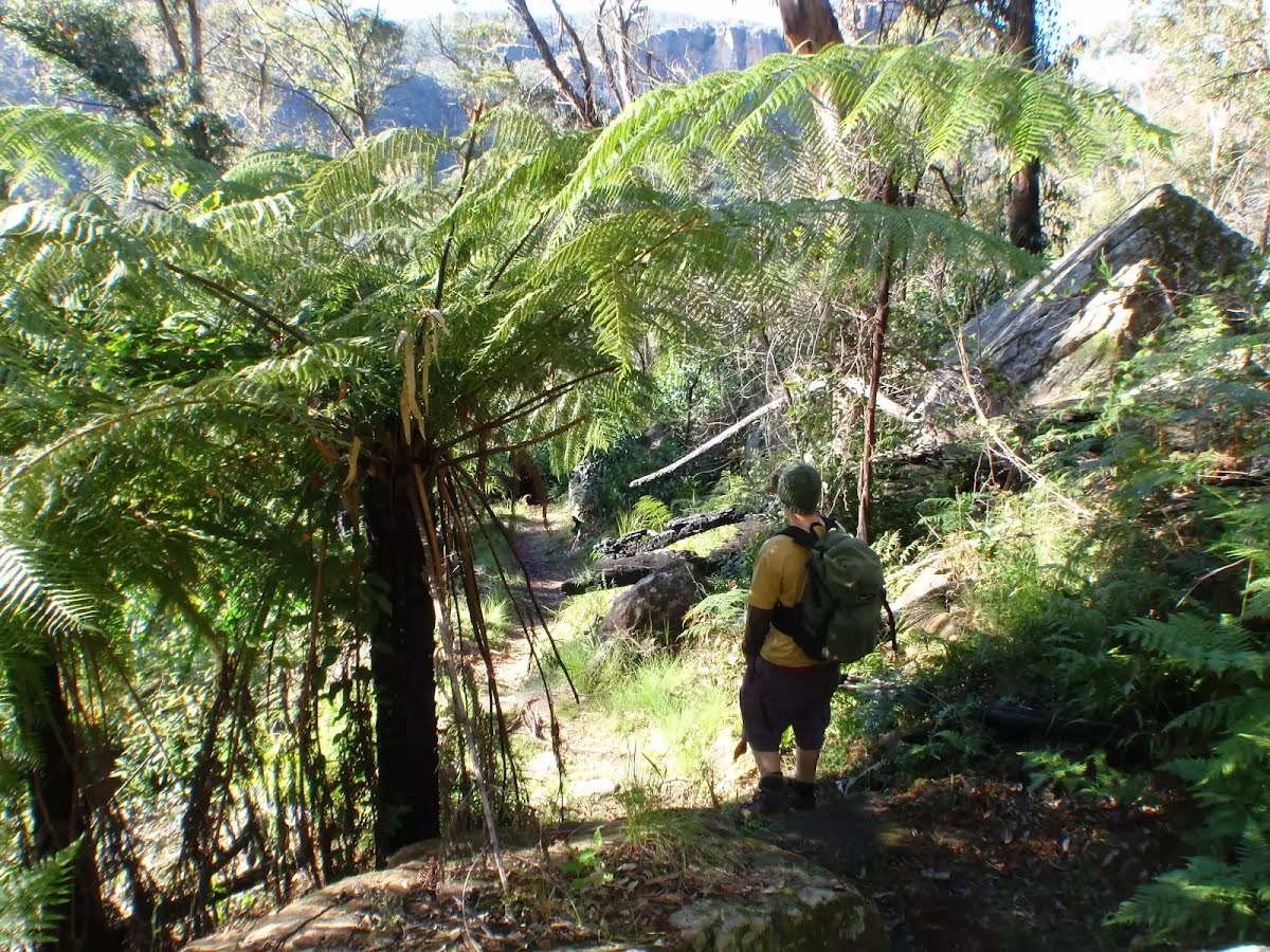
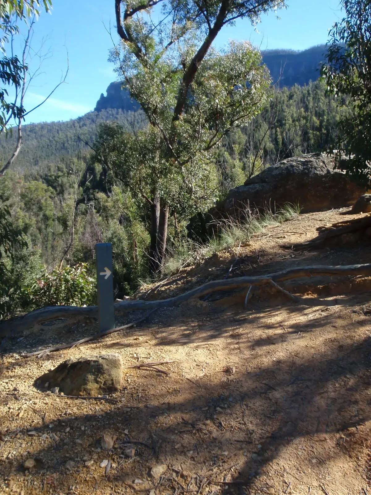
At the intersection of Blue Gum Forest Track & Rodriguez Pass Walking Track continue straight, to head along Rodriguez Pass Walking Track.
|
 |
|
 |
|
 |
|
 |
|
 |
|
 |
|
 |
|
 |
|
 |
|
 |
|
 |
|
 |
|
 |
|
 |
|
 |
|
 |
|
 |
|
 |
|
 |
|
 |
|
 |
|
 |
|
 |
|
 |
|
 |
|
 |
|
 |
|
 |
|
 |
|
 |
|
 |
|
 |
|
 |
|
 |
|
 |

|
|
Class 5/6 Very challenging |
|---|---|
| Length | 23.4 km |
| Time | 9 h, 2 days to 3 days |
| Quality of track | Rough unclear track (5/6) |
| Gradient | Very steep (4/6) |
| Signage | Minimal directional signs (4/6) |
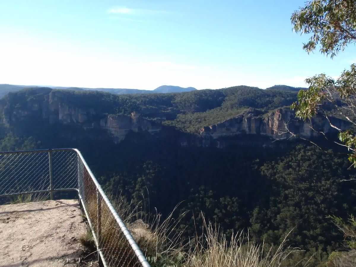
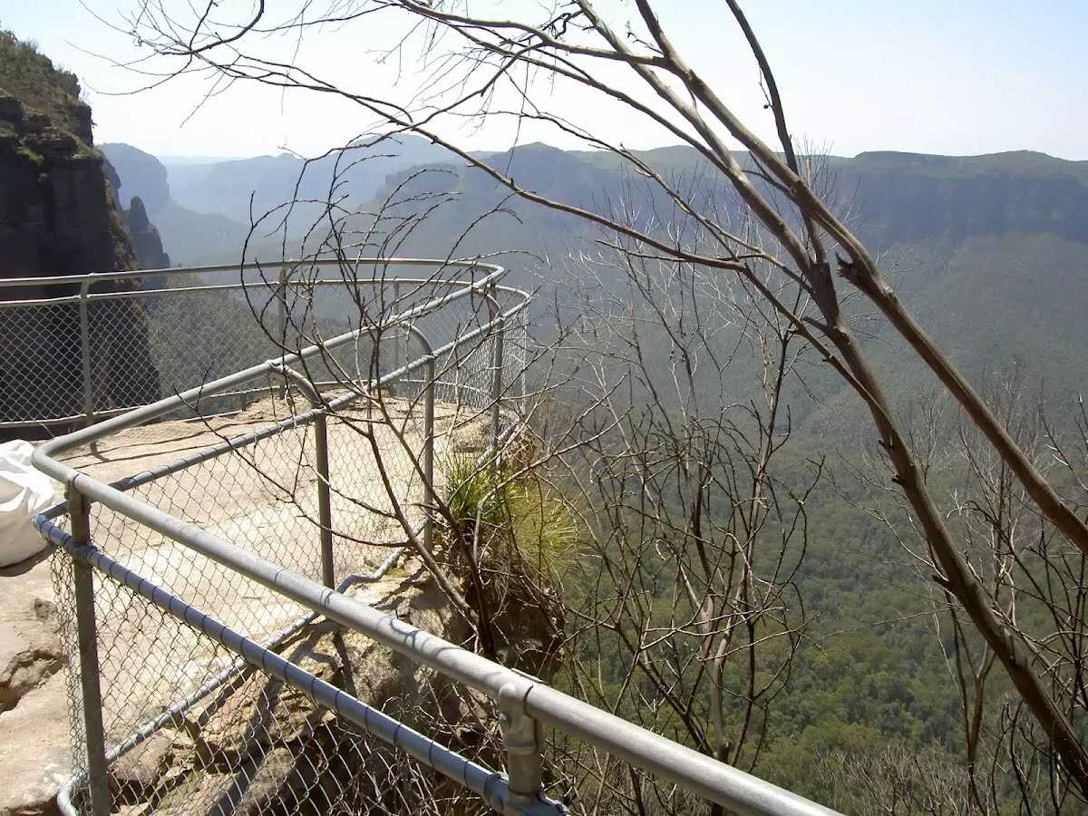
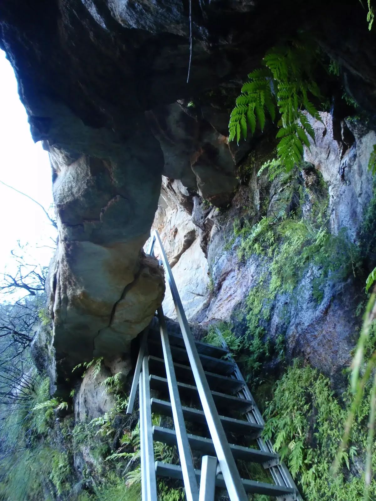
| Infrastructure | Limited facilities (such as cliffs not fenced, significant creeks not bridged) (4/6) |
| Experience Required | Some bushwalking experience recommended (3/6) |
| Weather | Weather generally has little impact on safety (1/6) |
| Item | From Start | Name & link to notes |
|---|---|---|
Toilet
| -7 m | [toilet] |
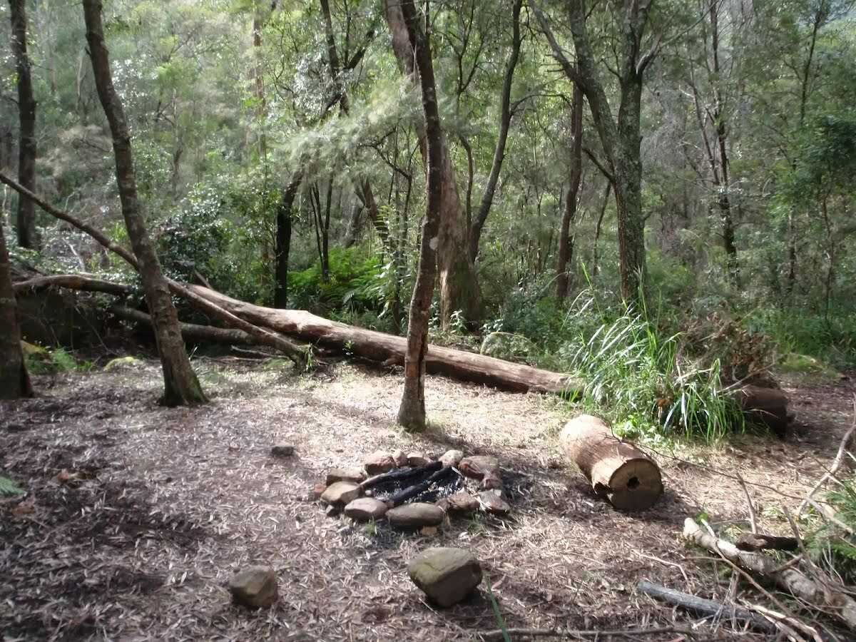
Campsite
| 3.4 km | Burra Korain Flat Camping Area |
Camp site
| 3.5 km | Burra Korain Camping Area |
Camp site
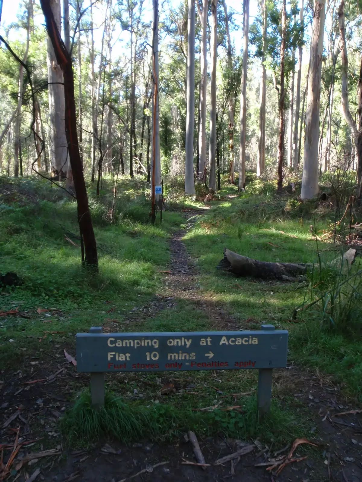
| 13.1 km | Acacia Flat Campground |
Toilet
| 13.3 km | [toilet] |
Camp site
| 16.9 km | [camp site] |
Toilet
| 20.1 km | [toilet] |