
| Start | (-34.0557419,151.1516519) |
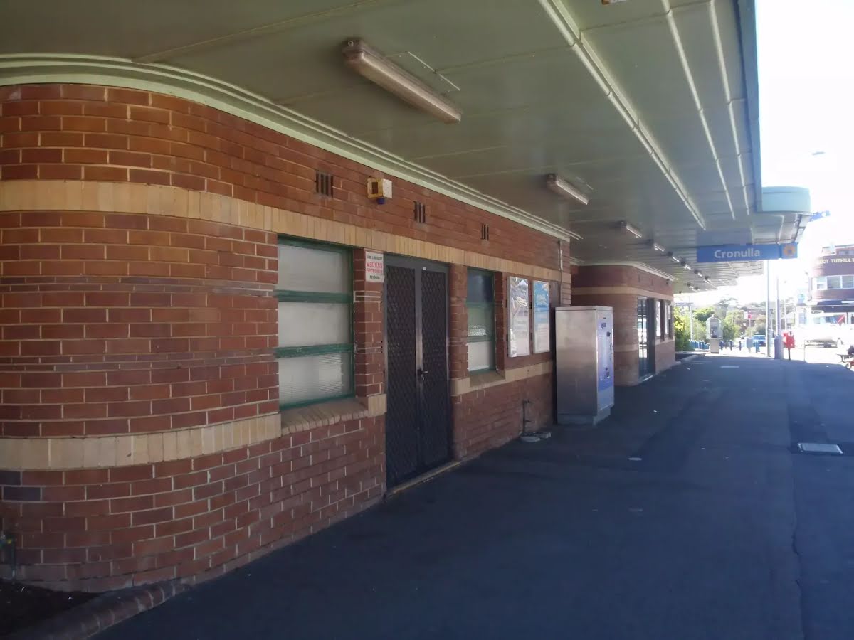
| Mode | Bus Car (There is free parking available.) Train |
| Directions | From Princes Highway, A1
|
| Finish | (-34.0053242,151.2217323) |
| Mode (end) | Car Shuttle Bus Car (A park entry fee is required for driving into the park.) |
| Turn map | Directions & comments |
|---|---|
 |
|
 |
|
 |
|
 |
|
 |
|
 |
|
 |
|
 |
|
 |
|
 |
|
 |
|
 |
|
 |
|
 |
|
 |
|
 |
|
 |
|
 |
|
 |
|
 |
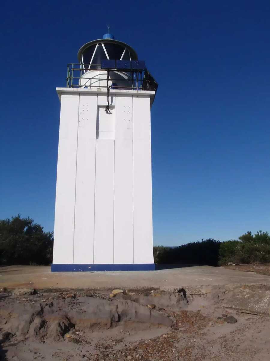
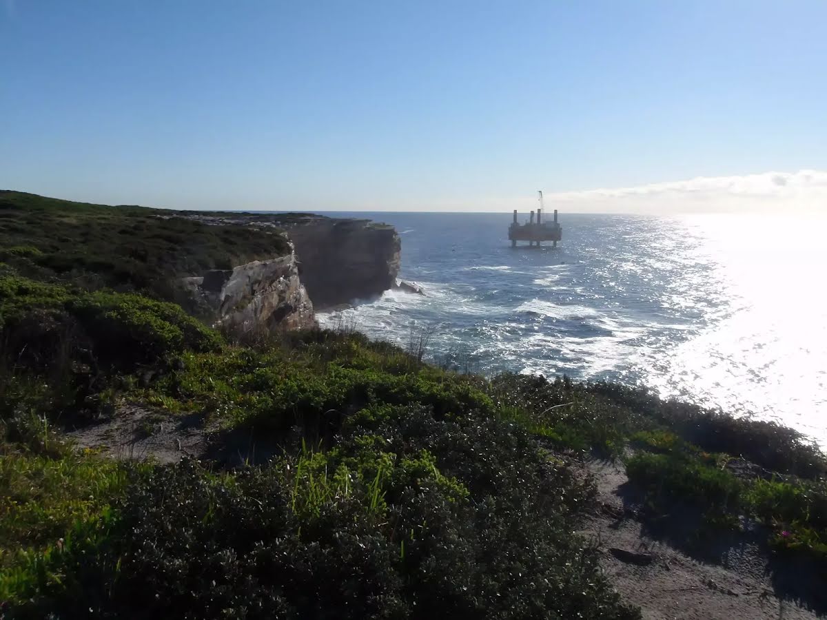
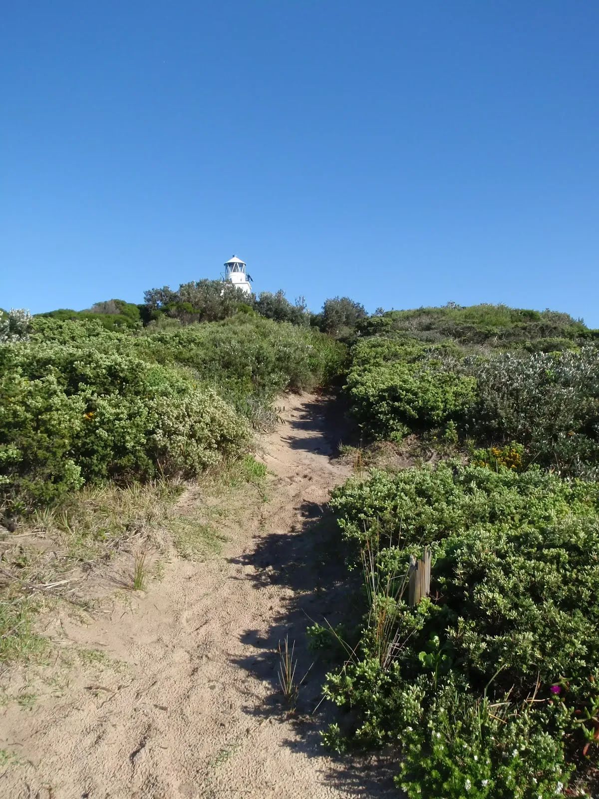
The starting point of an optional sidetrip. An optional side trip to Cape Bailey Lighthouse. To start this optional side trip turn left here. On returning from this side trip error >360 when you get back to this intersection. Details below.
|
 |
|
 |
|
 |
|
 |
|
 |
|
 |
|
 |
|
 |
|
 |
|
 |
|
 |
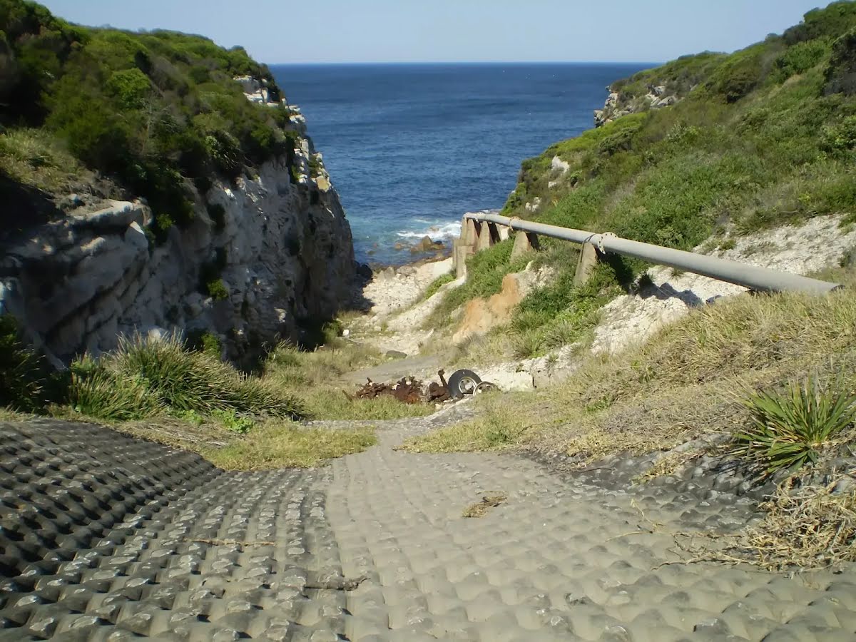
After another 20 m (at the intersection of Cape Solander Drive & Yena Track) continue straight (a footpath).
|
 |

|
|
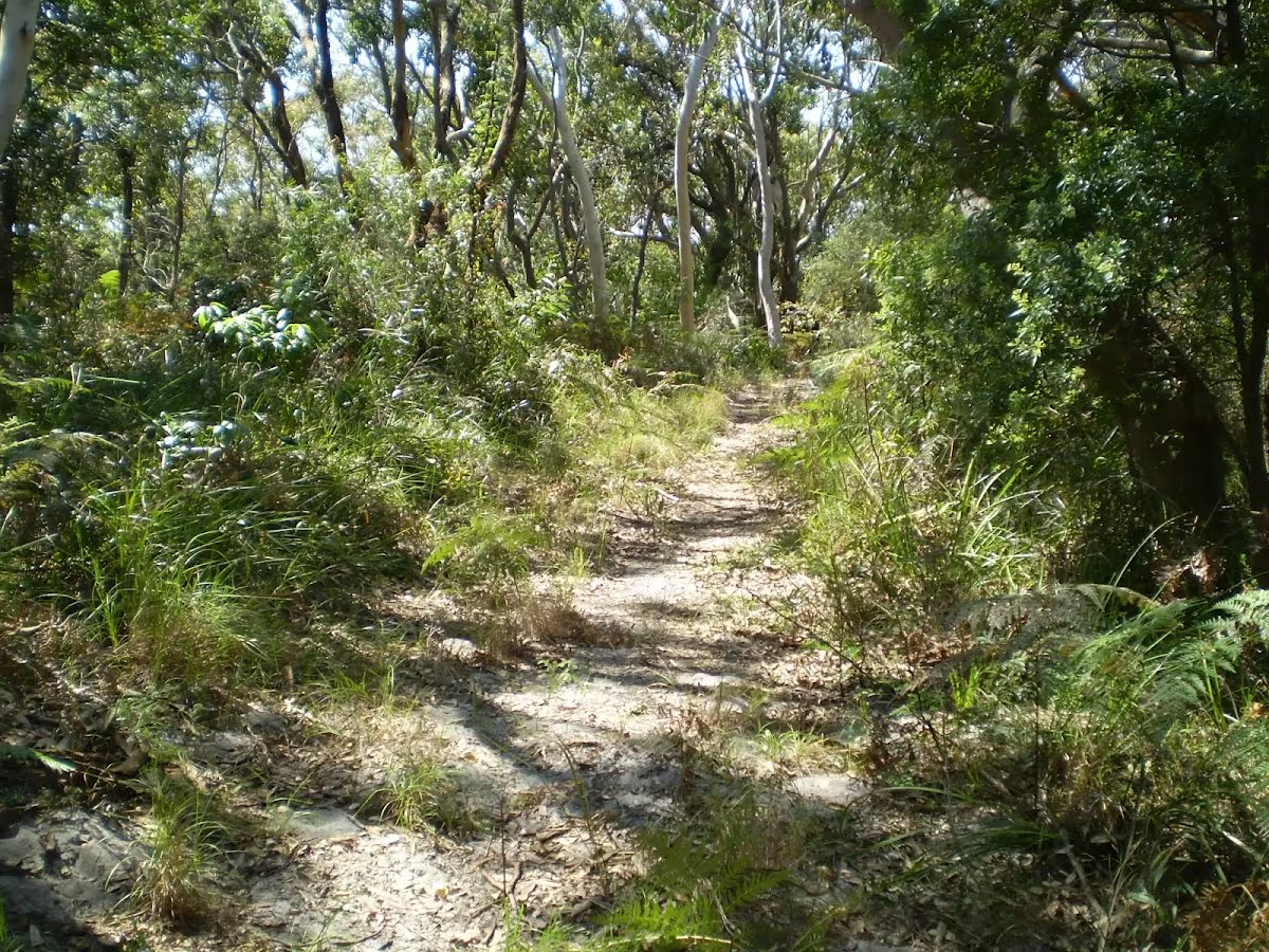
Class 4/6 Hard track |
|---|---|
| Length | 13.4 km |
| Time | 4 h to 4 h 30 min |
| Quality of track | Rough track, where fallen trees and other obstacles are likely (4/6) |
| Gradient | Short steep hills (3/6) |
| Signage | Directional signs along the way (3/6) |
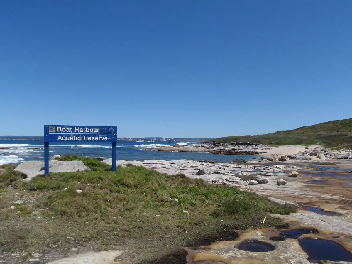
| Infrastructure | Limited facilities, not all cliffs are fenced (3/6) |
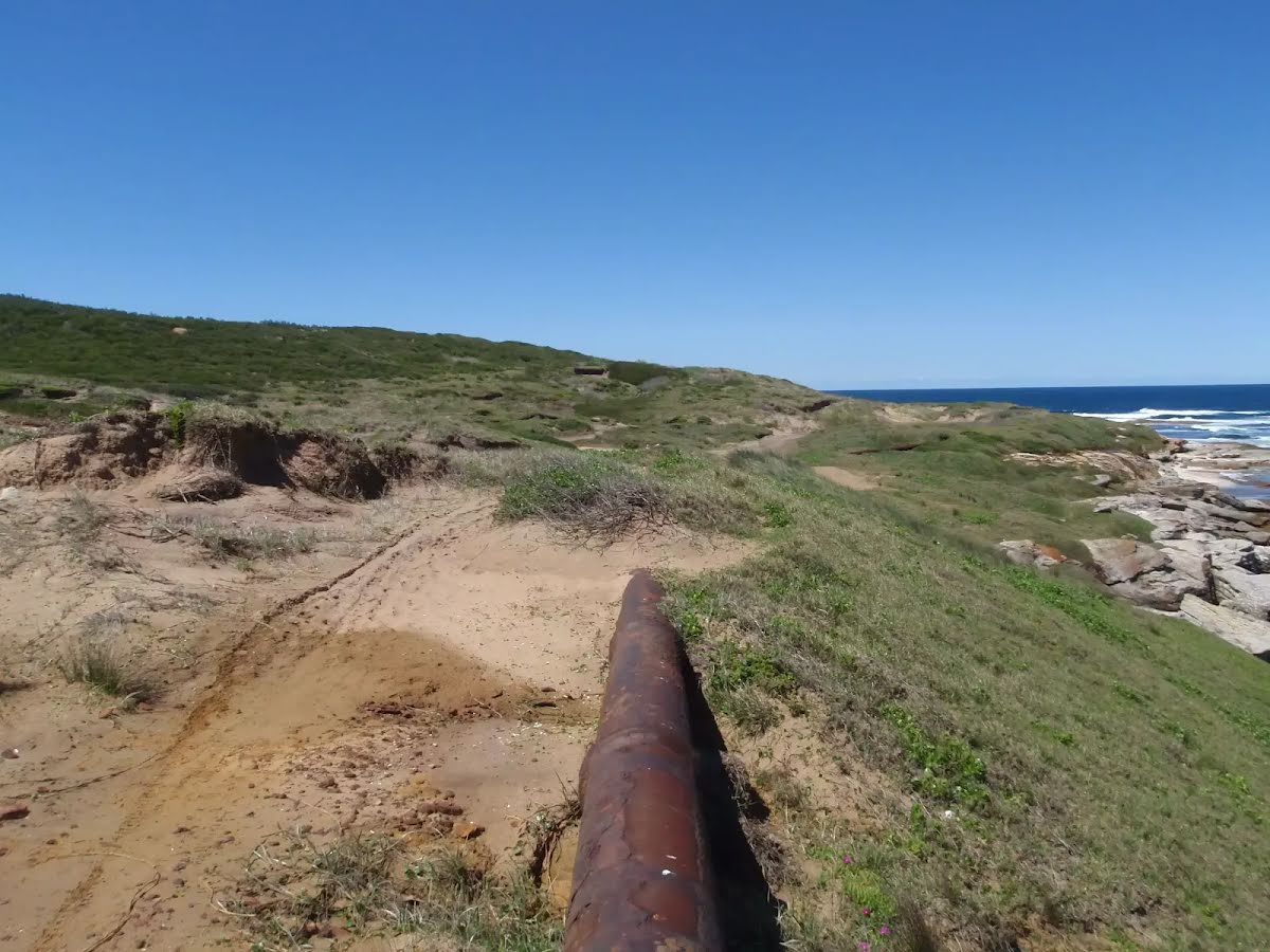
| Experience Required | Moderate level of bushwalking experience recommended (4/6) |
| Weather | Weather generally has little impact on safety (1/6) |
| Item | From Start | Name & link to notes |
|---|---|---|
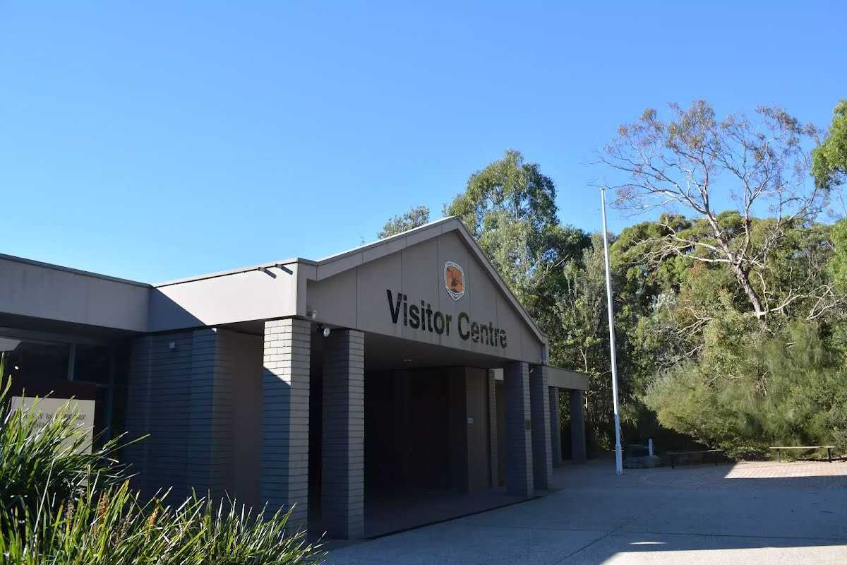
Toilet
| -27 m | [toilet] |
Shelter
| 510 m | [shelter] |
Toilet
| 560 m | [toilet] |
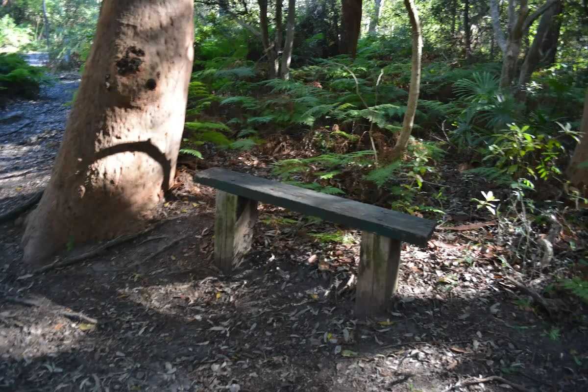
Seat
| 860 m | [seat] |
Seat
| 1.5 km | [seat] |
Seat
| 1.5 km | [seat] |
Seat
| 1.6 km | [seat] |
Seat
| 1.7 km | [seat] |
Seat
| 1.7 km | [seat] |
Seat
| 13.3 km | Seat |