
| Start | (-33.6338594,150.2843986) |
| Mode | Bus Car (There is free parking available.) Train |
| Directions | From Great Western Highway, A32
|
| Turn map | Directions & comments |
|---|---|
 |
|
 |
|
 |
|
 |
|
 |
|
 |
|
 |
|
 |
After another 140 m (at the intersection of Wentworth Street & Hydora Lane) turn right, to head along Wentworth Street (a residential road).
|
 |
|
 |
|
 |
After another 55 m (at the intersection of Clanwilliam Street & Leichhardt Street) turn left, to head along Leichhardt Street.
|
 |
After another 115 m (at the intersection of Boreas Street & Leichhardt Street) turn right, to head along Boreas Street.
|
 |
|
 |
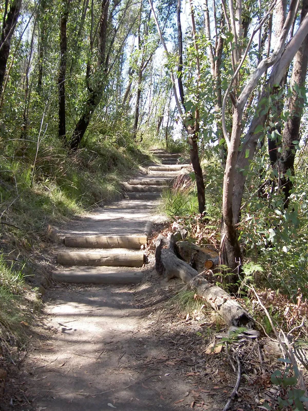
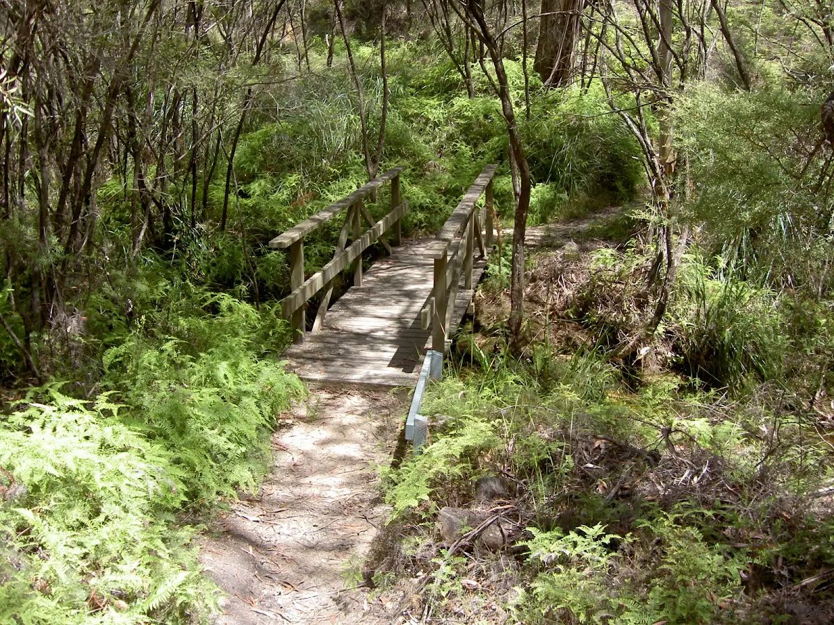
After another 460 m (at the intersection of Braeside Road & Braeside Walk) continue straight, to head along Braeside Walk (a walking track).
|
 |
|
 |
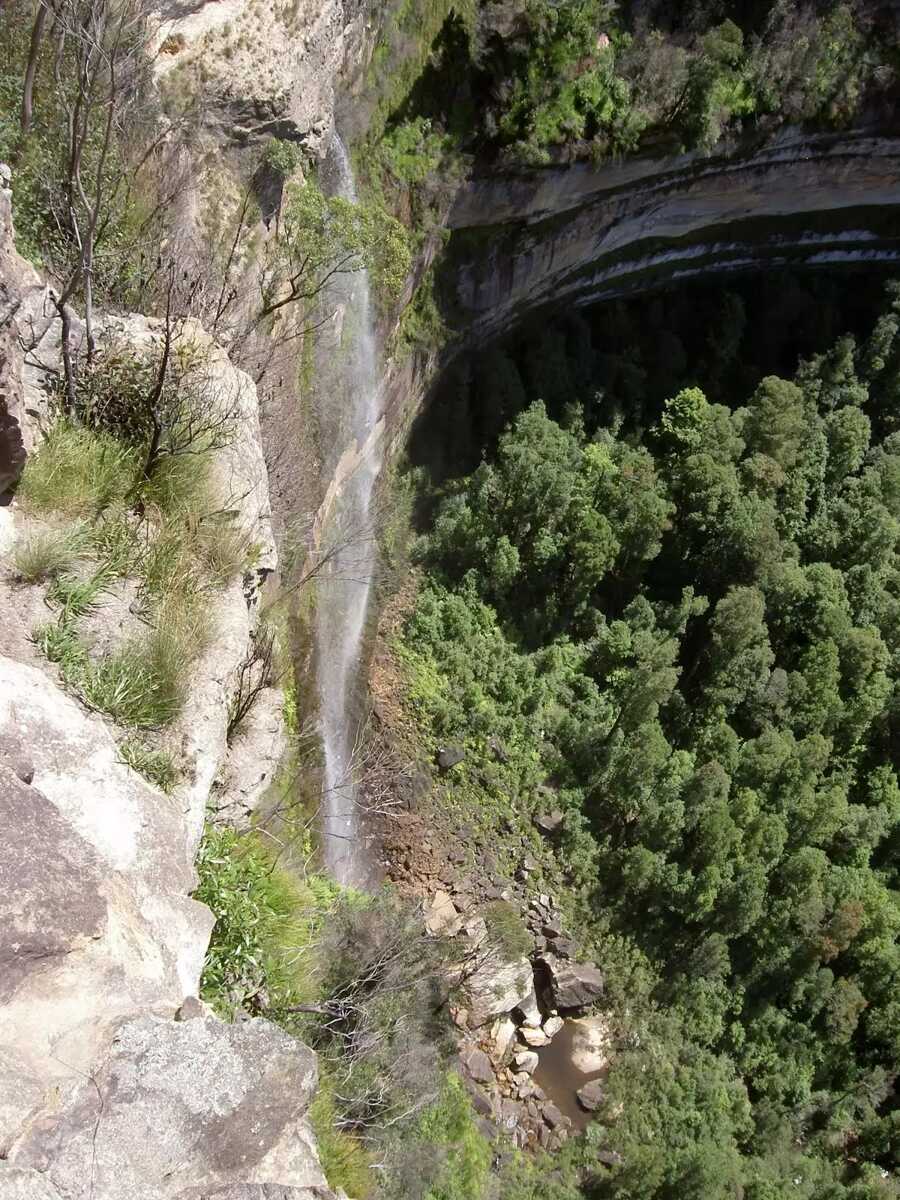
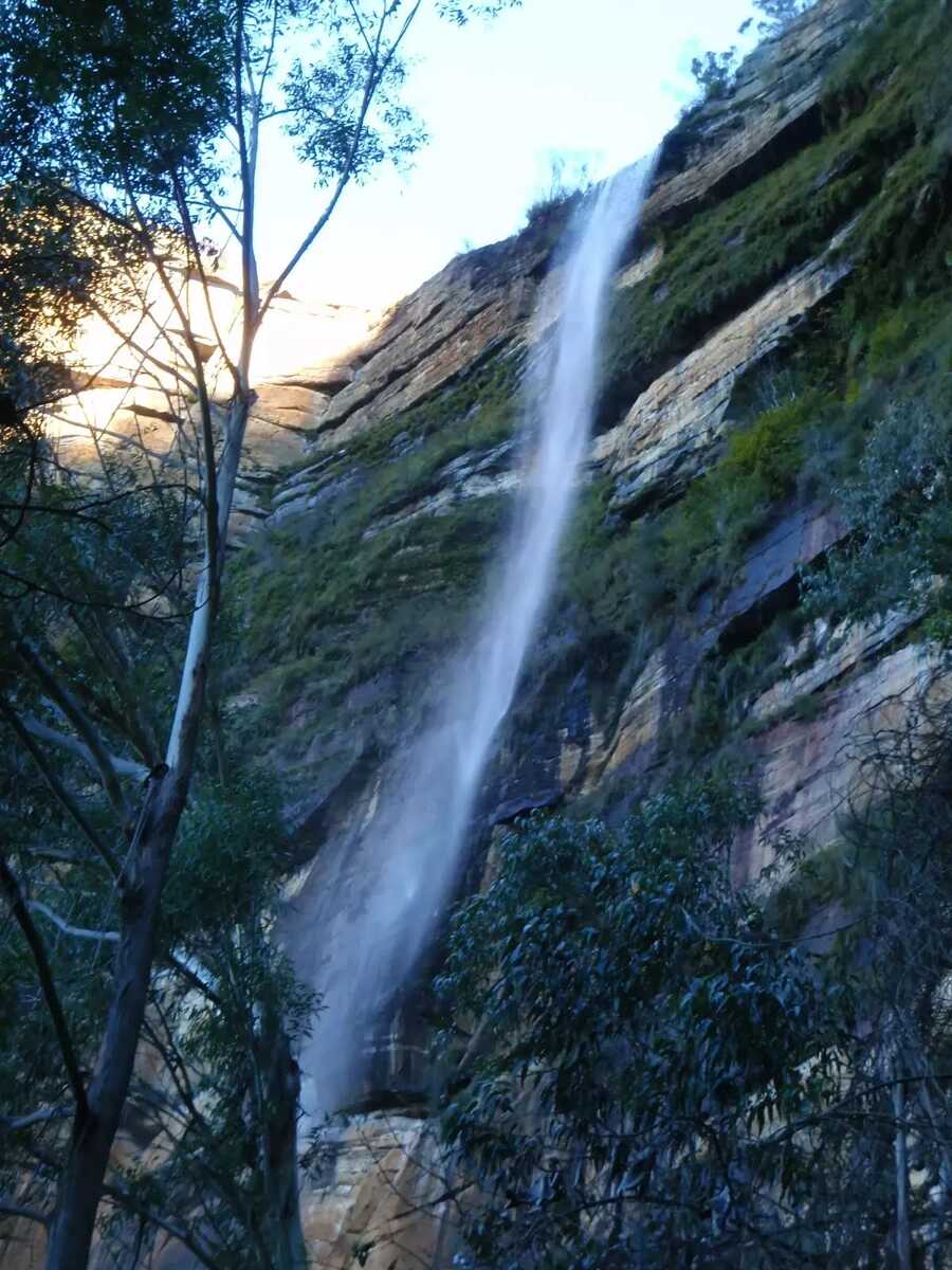
The starting point of an optional sidetrip. An optional side trip to Barrow Lookout. To start this optional side trip veer right here. On returning from this side trip turn right when you get back to this intersection. Details below.
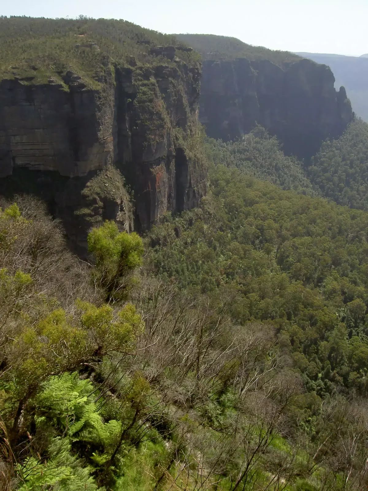
After another 570 m (at the intersection of Cliff Top Track & Braeside Walk) turn left, to head along Cliff Top Track.
|
 |
|
 |
|
 |
|
 |
|
 |
|
 |
|
 |
|
 |
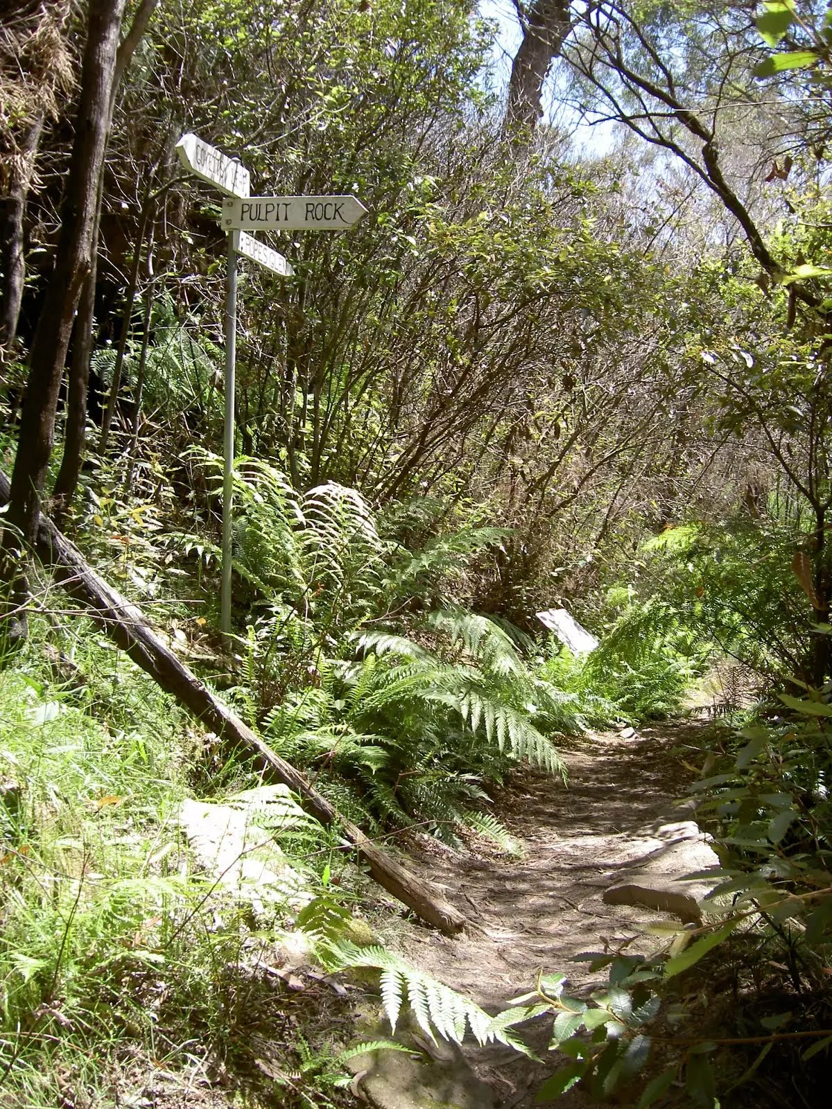
After another 155 m (from the Pulpit Rock Track) continue straight, to head along Pulpit Rock Track.
|
 |
|
 |
|
 |
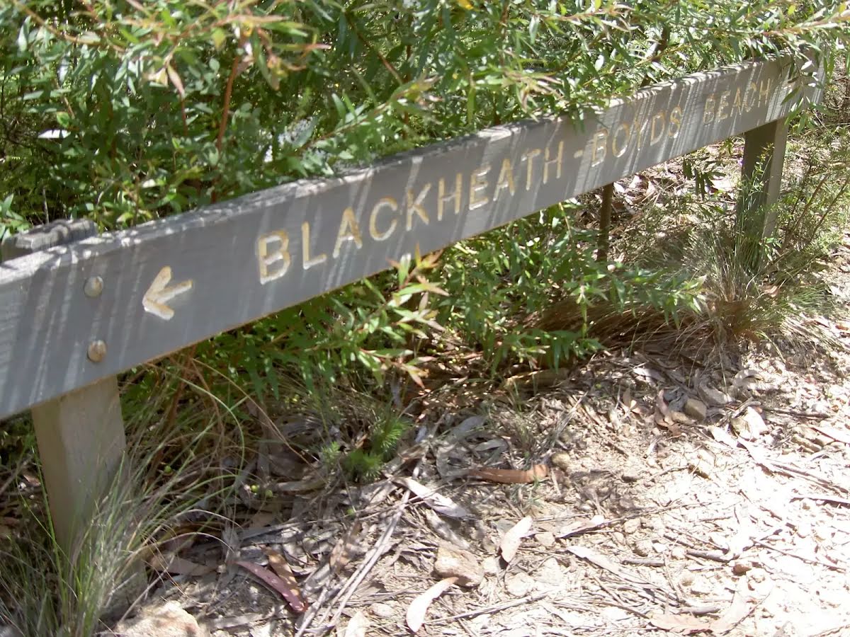
The starting point of an optional sidetrip. An optional side trip to Boyd Beach. To start this optional side trip turn right here. On returning from this side trip continue straight when you get back to this intersection. Details below.
|
 |
|
 |
|
 |
|
 |
|
 |
After another 70 m (at the intersection of Gardiner Crescent & Wills Street) turn right, to head along Gardiner Crescent.
|
 |
|
 |
|
 |
| Turn map | Directions & comments |
|---|---|
 |
|
 |

|
|
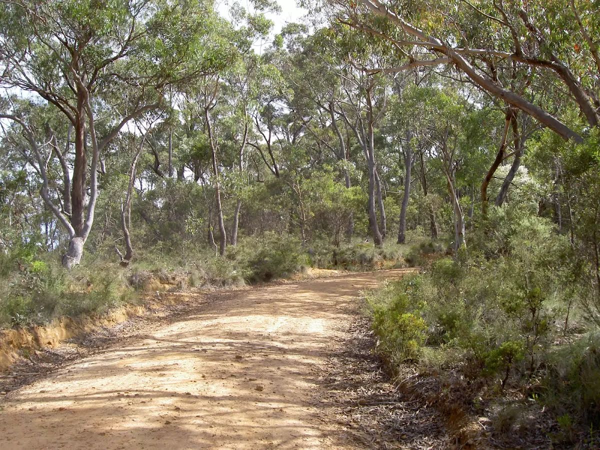
Class 4/6 Hard track |
|---|---|
| Length | 8.9 km |
| Time | 3 h 15 min to 3 h 30 min |
| Quality of track | Rough track, where fallen trees and other obstacles are likely (4/6) |
| Gradient | Very steep (4/6) |
| Signage | Directional signs along the way (3/6) |
| Infrastructure | Limited facilities, not all cliffs are fenced (3/6) |
| Experience Required | No experience required (1/6) |
| Weather | Weather generally has little impact on safety (1/6) |
| Item | From Start | Name & link to notes |
|---|---|---|
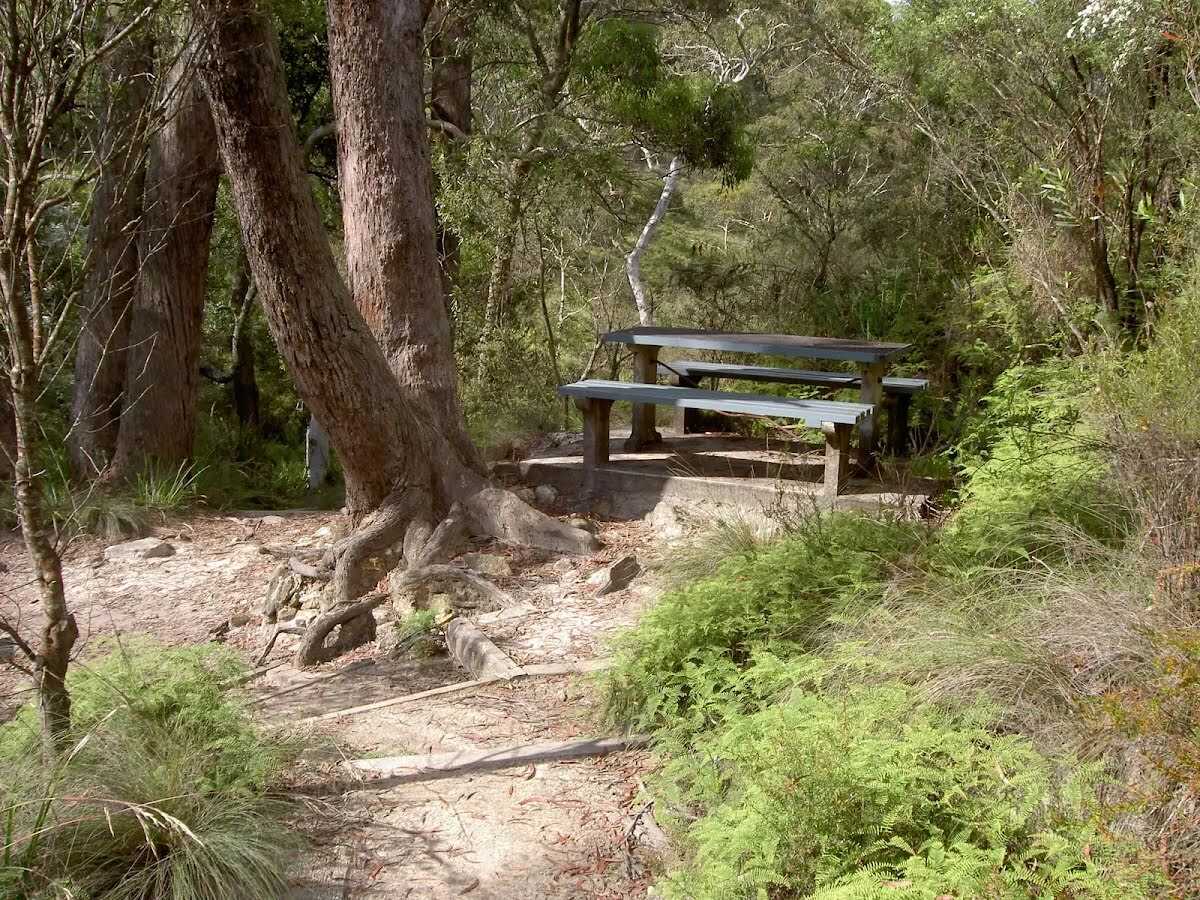
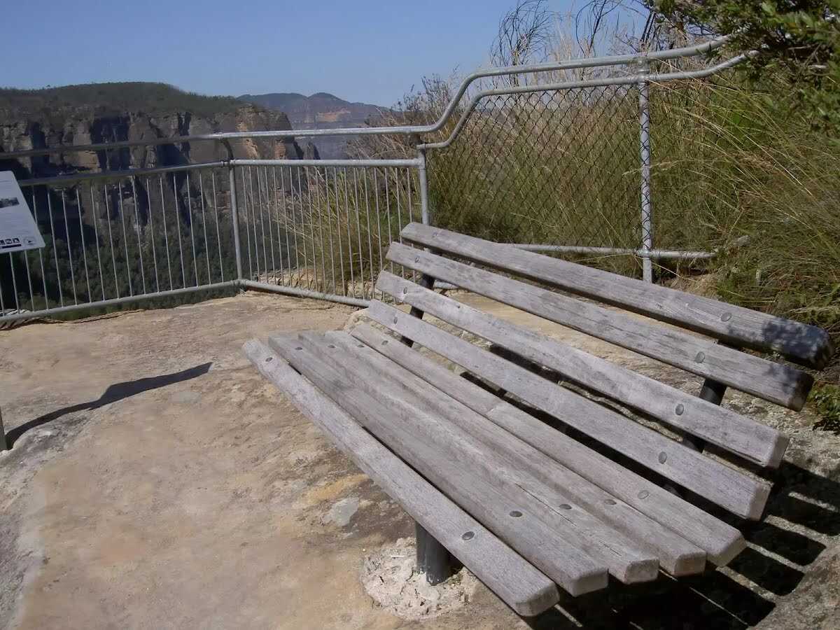
Seat
| 460 m | [seat] |
Seat
| 4.1 km + 95 m | [seat] |
Seat
| 4.4 km | [seat] |
Toilet
| 4.9 km | [toilet] |
Toilet
| 8.8 km | [toilet] |
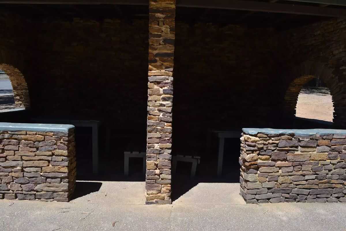
Shelter
| 8.9 km | [shelter] |