


| Start | (-33.9885865,151.2336658) |
| Mode | Bus Car (There is free parking available.) |
| Directions | From Oxford Street
|
| Turn map | Directions & comments |
|---|---|
 |
|
 |
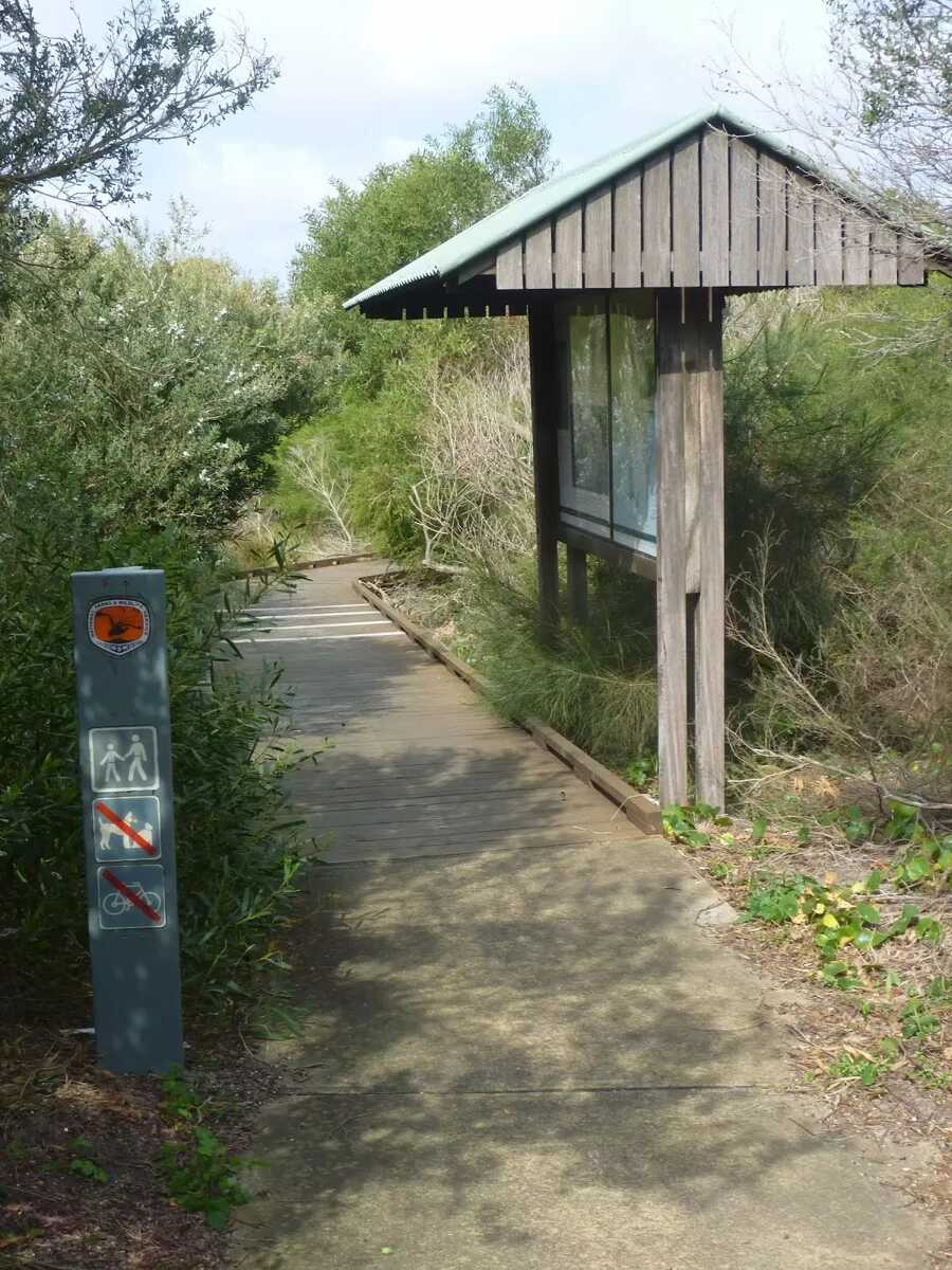
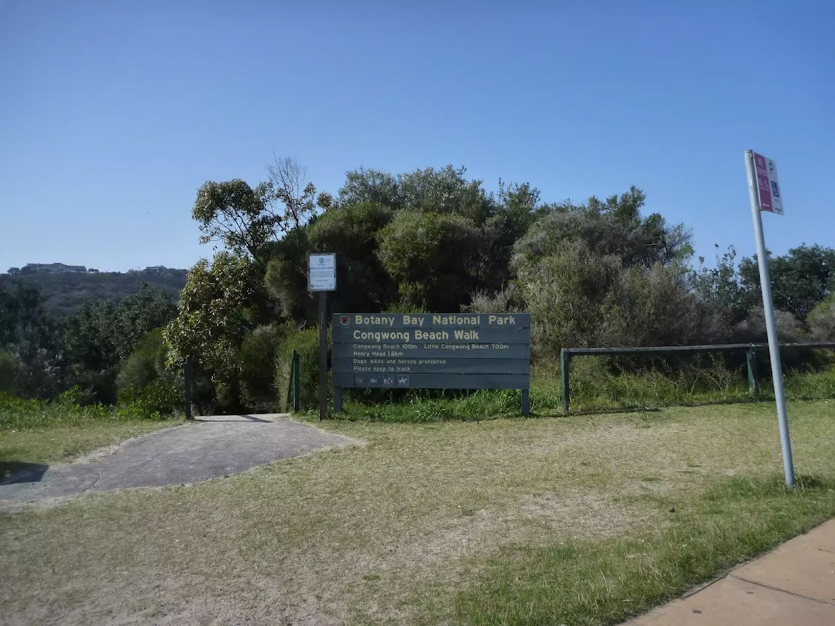
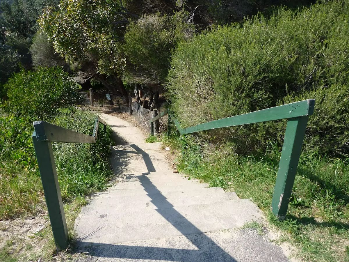
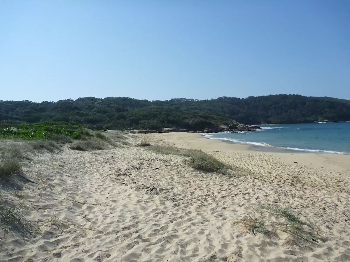
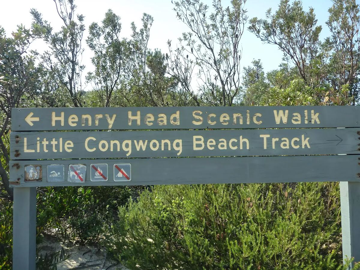
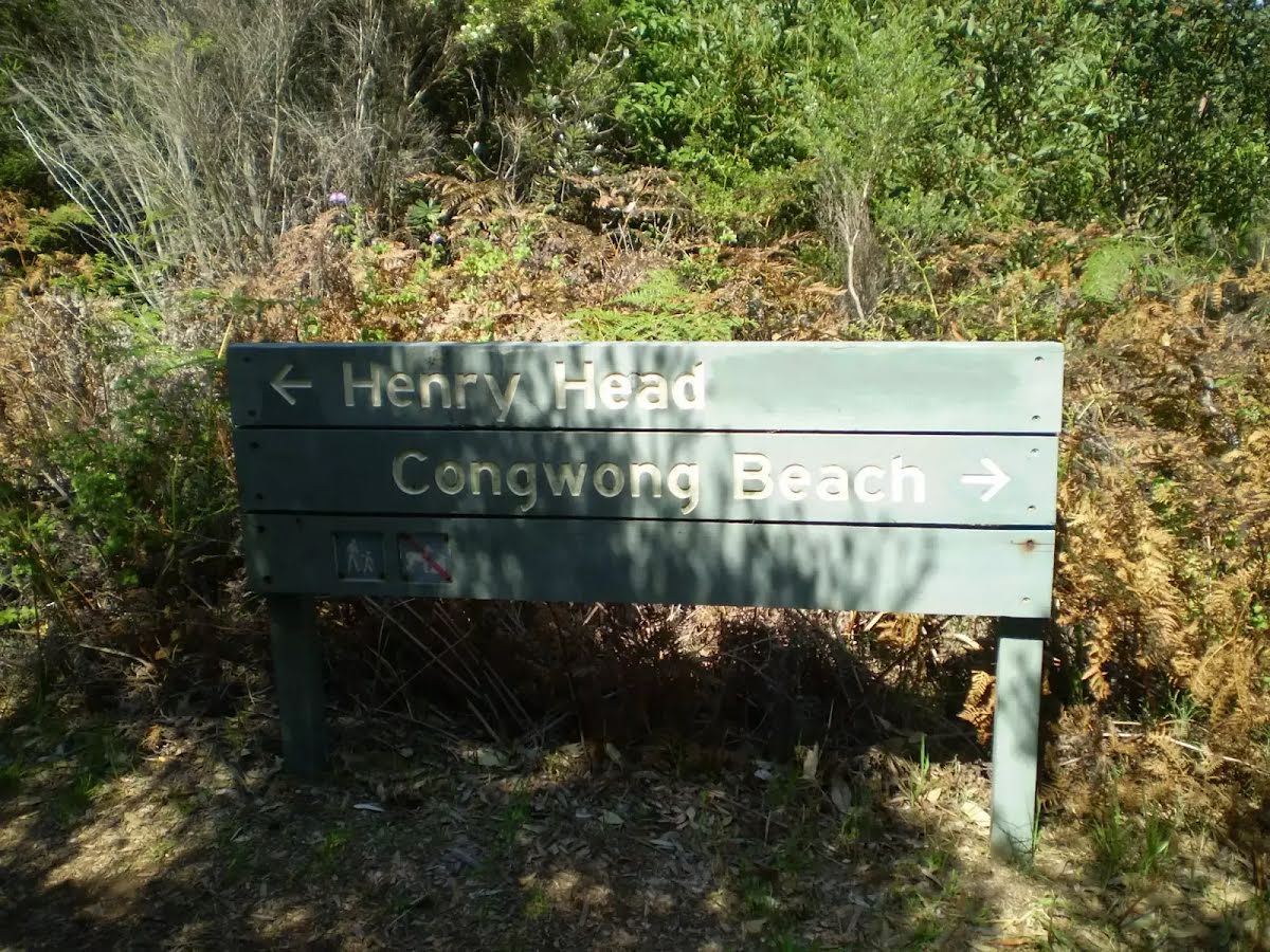
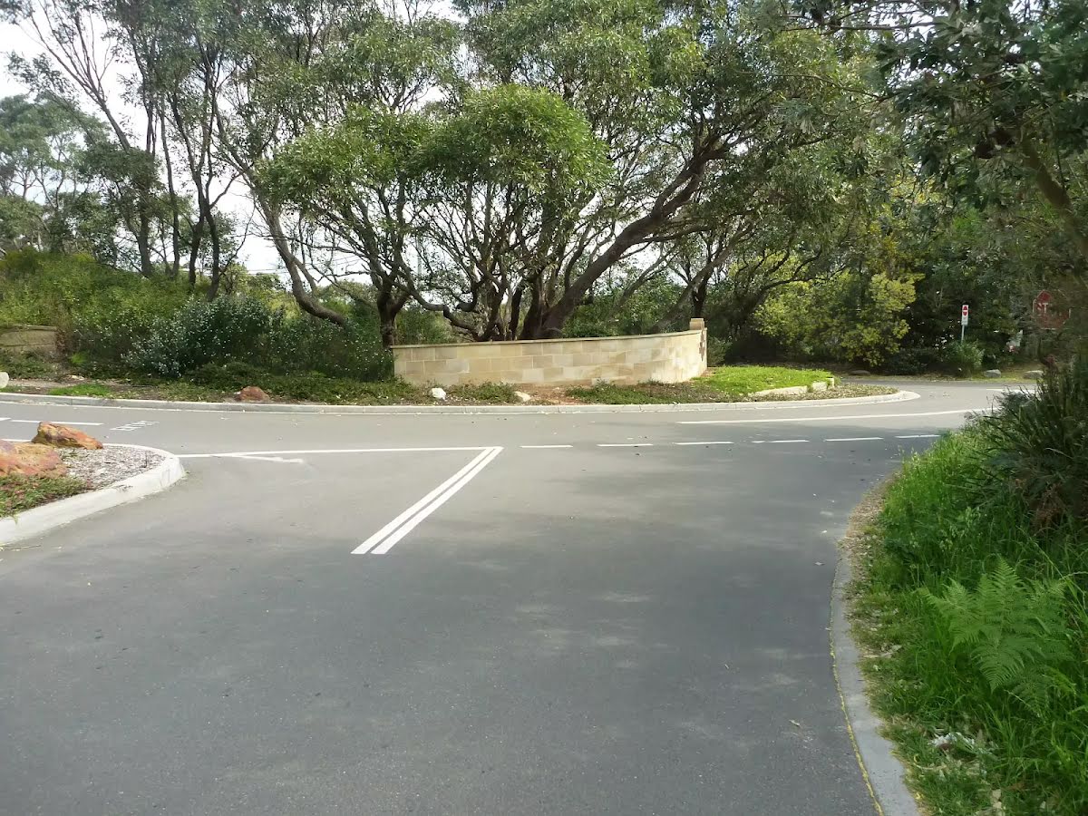
The starting point of an optional sidetrip. An optional side trip to Little Congwong Beach. To start this optional side trip turn right here. On returning from this side trip turn right when you get back to this intersection. Details below.
|
 |
|
 |
|
 |
|
 |
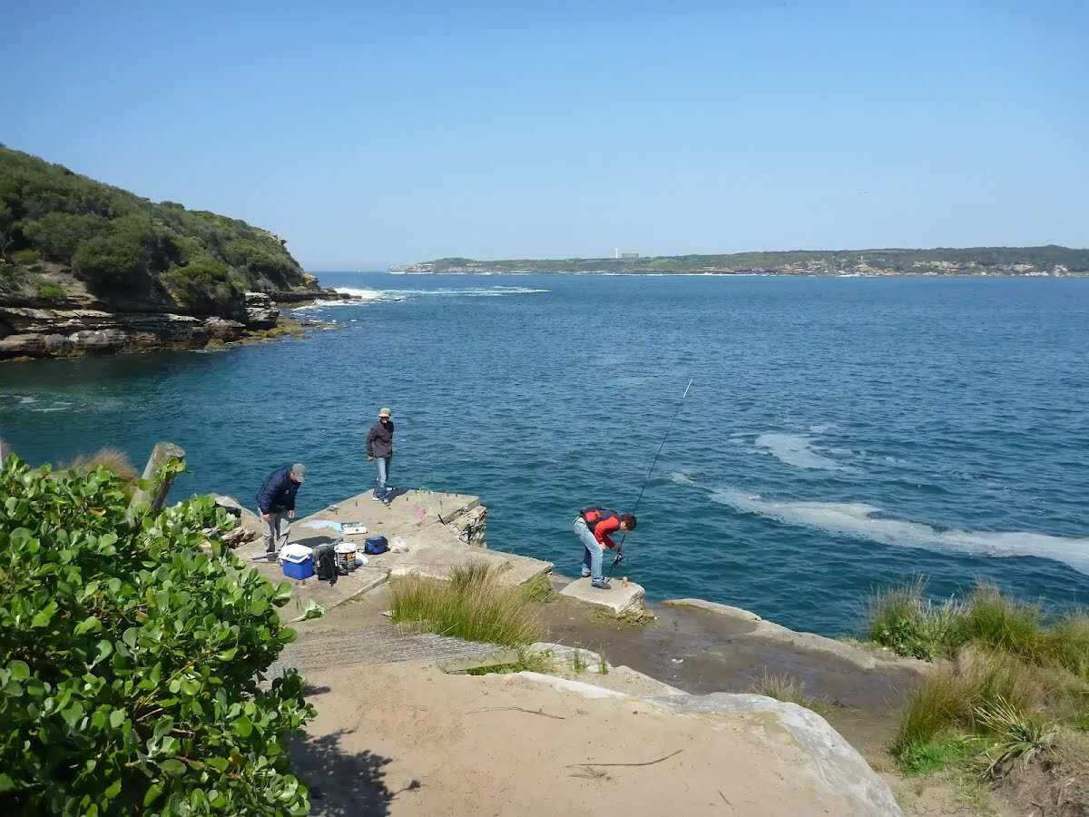
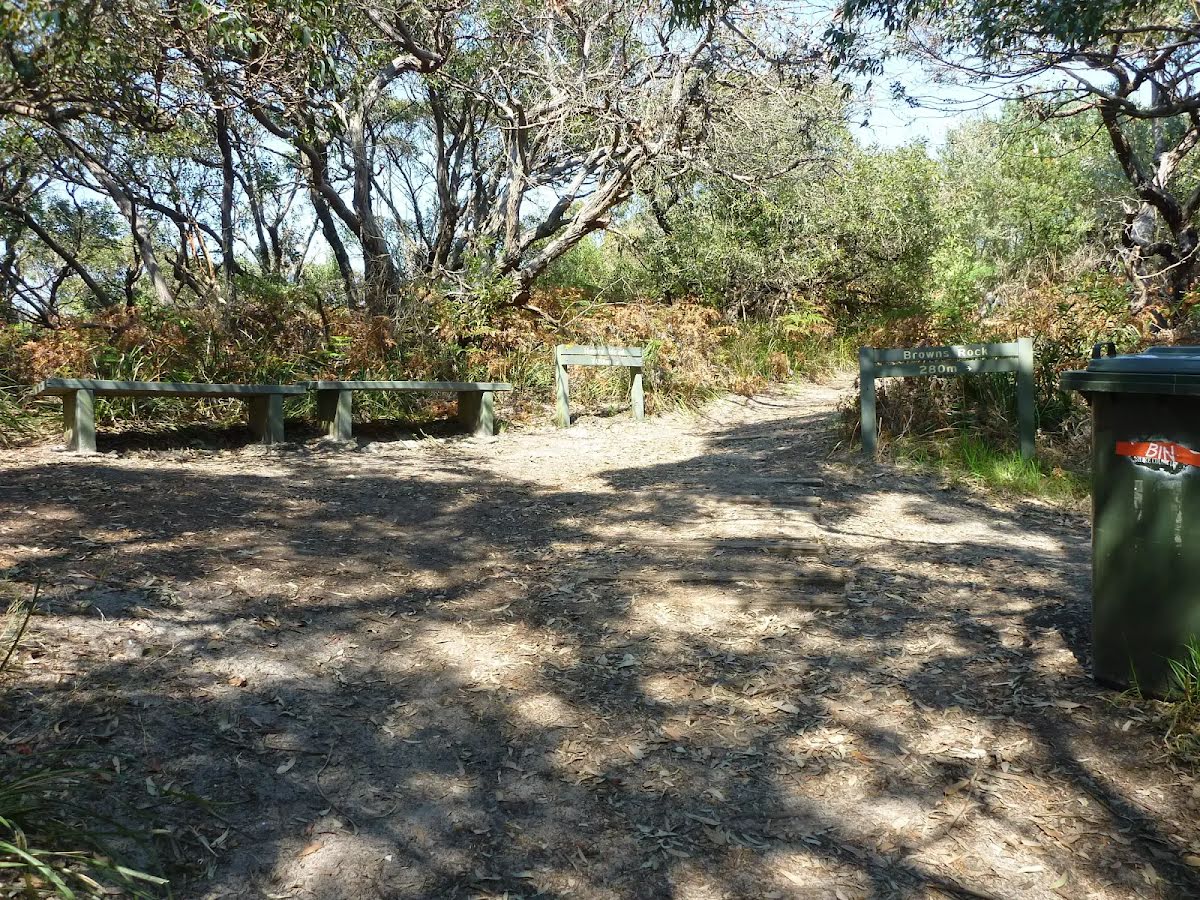
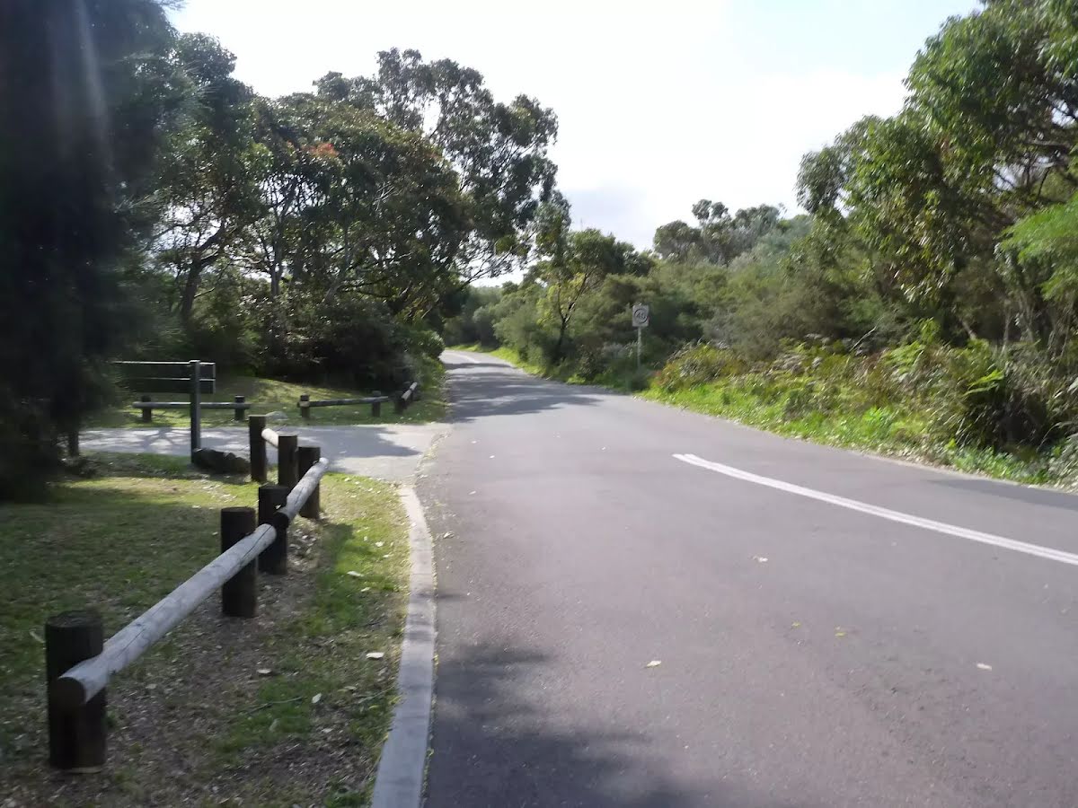
The starting point of an optional sidetrip. An optional side trip to Browns Rock. To start this optional side trip turn right here. On returning from this side trip turn left when you get back to this intersection. Details below.
|
 |
|
 |
|
 |
|
 |
|
 |
|
 |
|
 |
|
 |
|
 |
|
 |
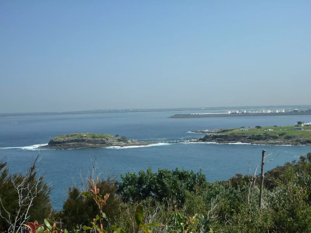
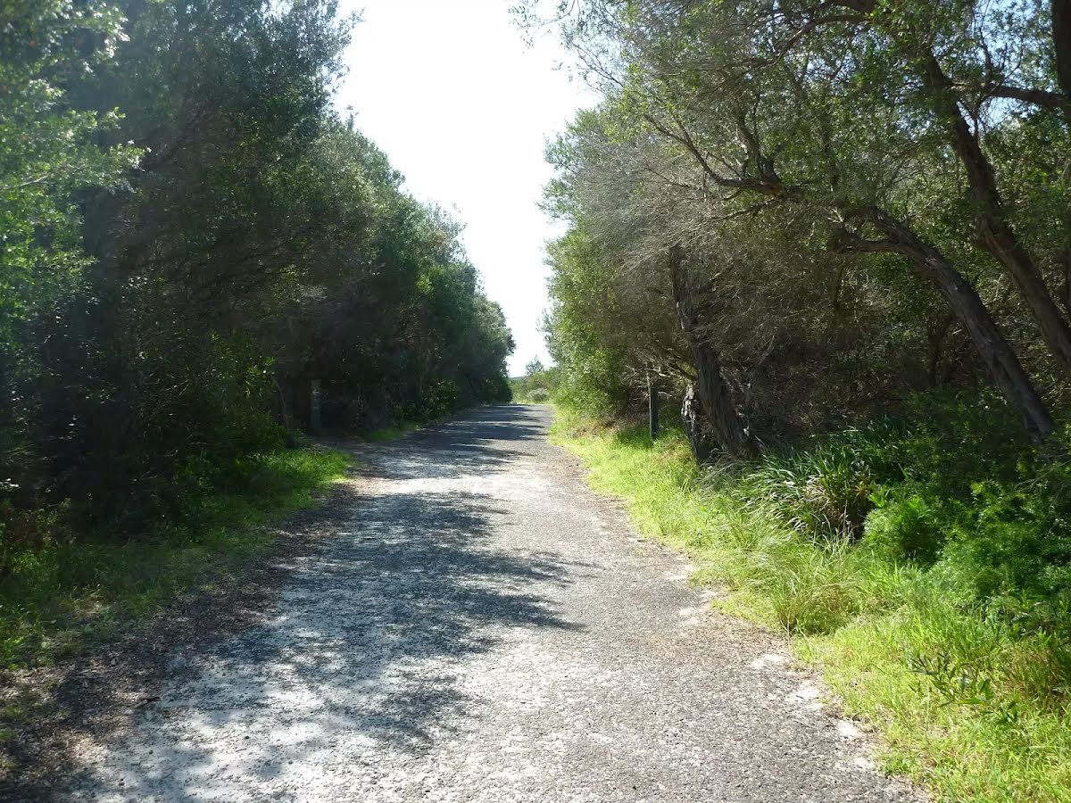
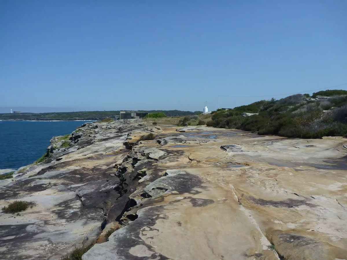
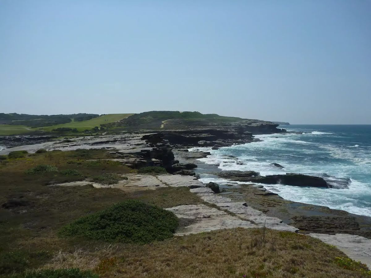
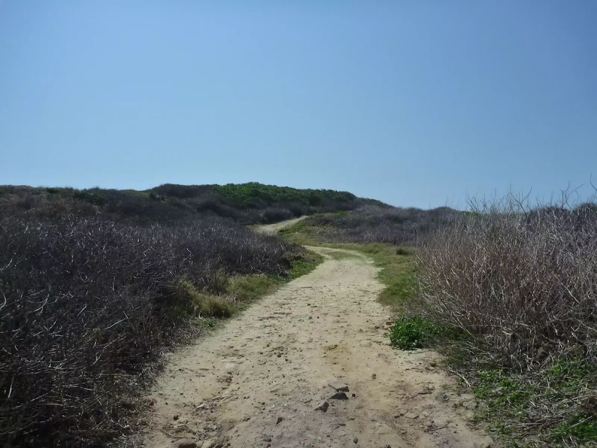
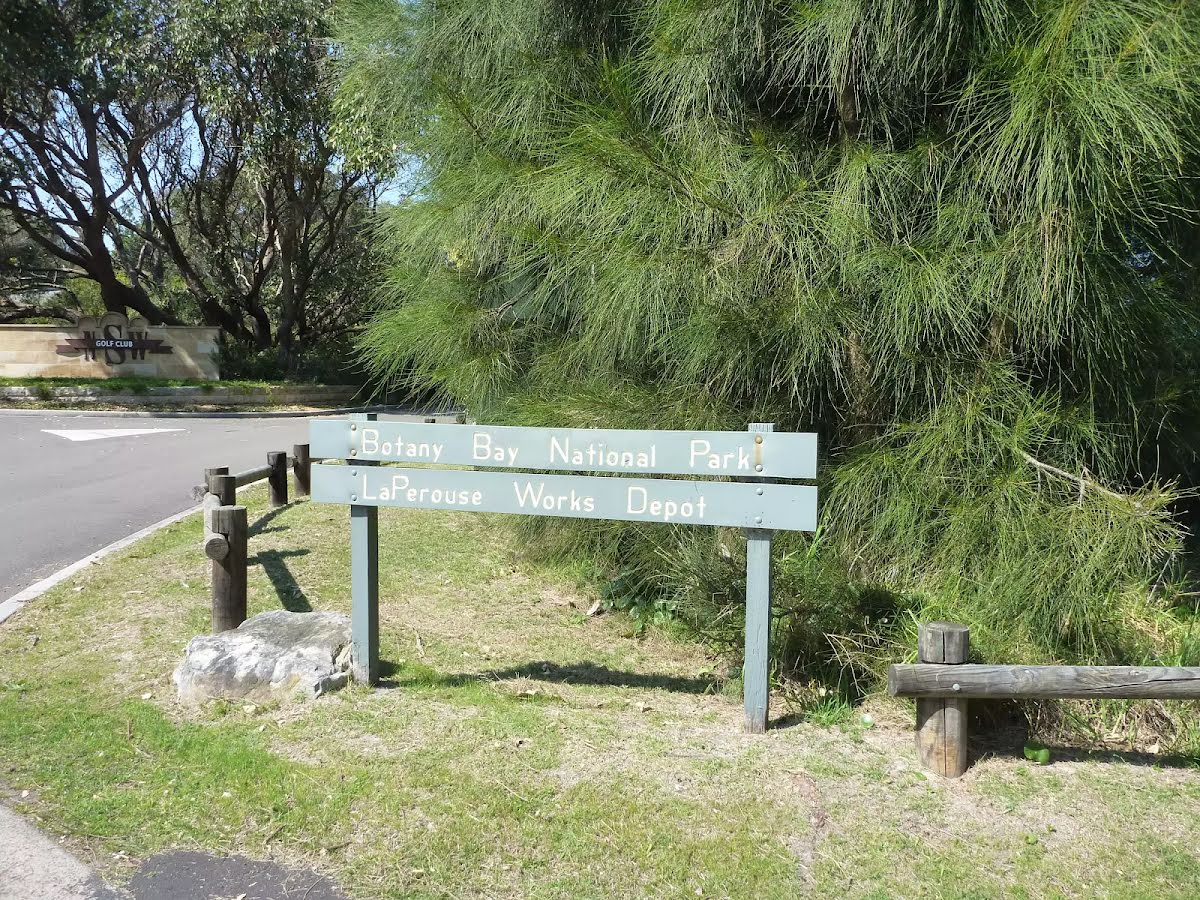
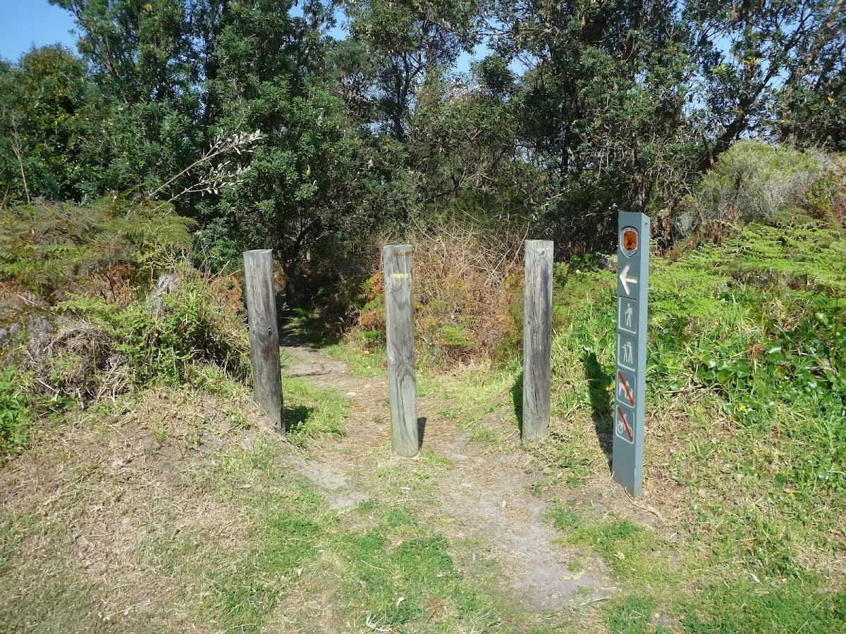
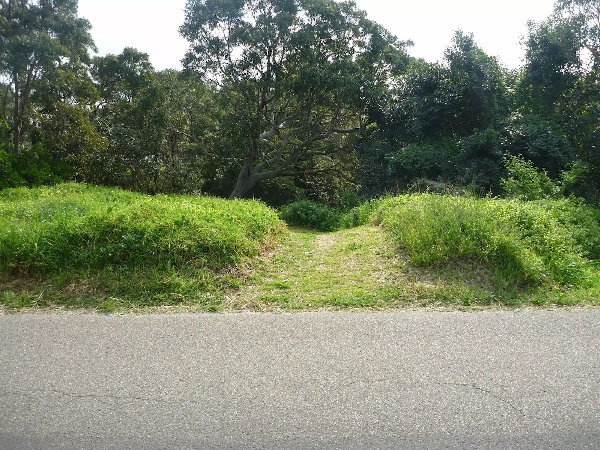
From the Cape Banks Management Trail veer right, to head along Cape Banks Management Trail (a vehicle track).
|
 |
|
 |
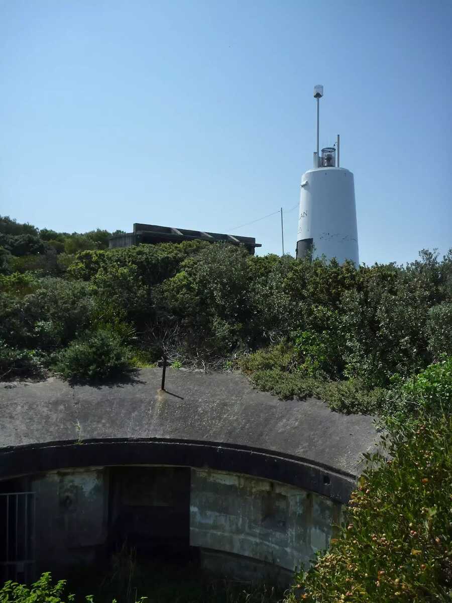
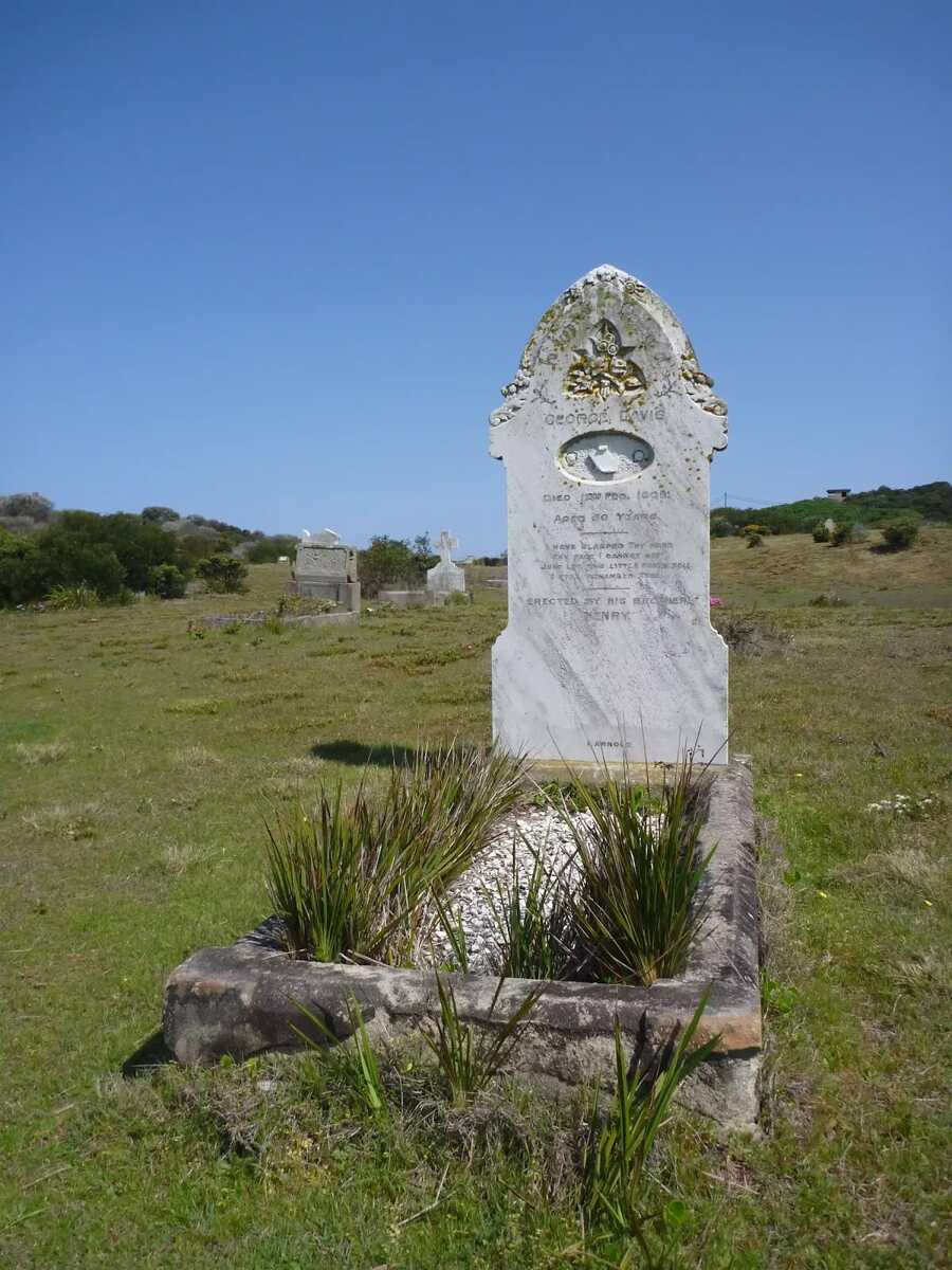
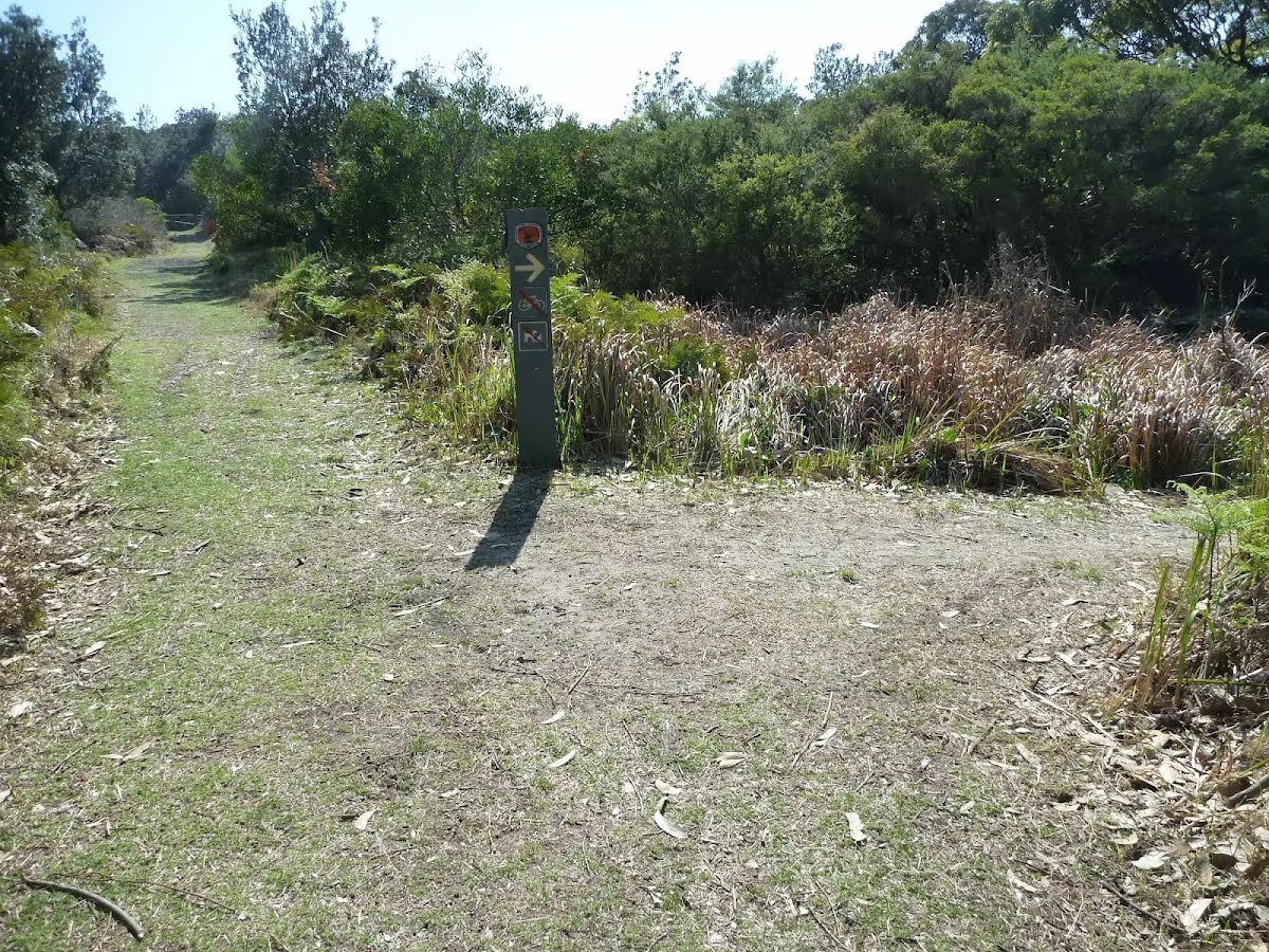
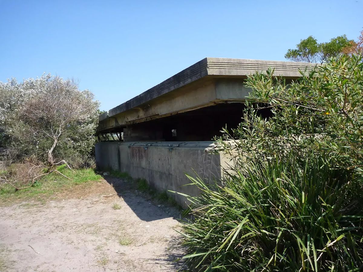
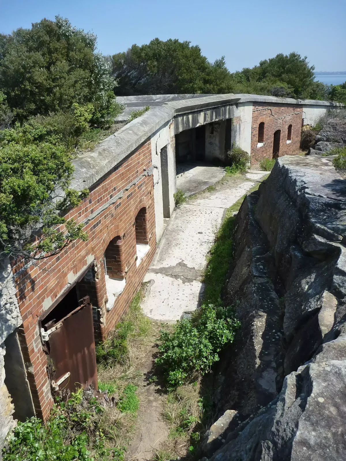
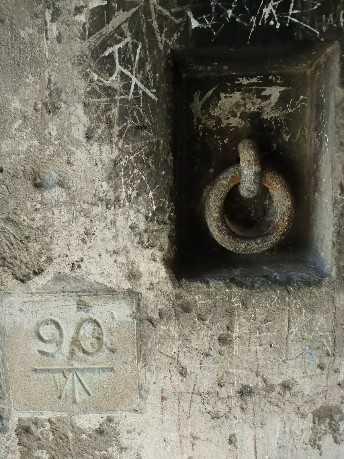
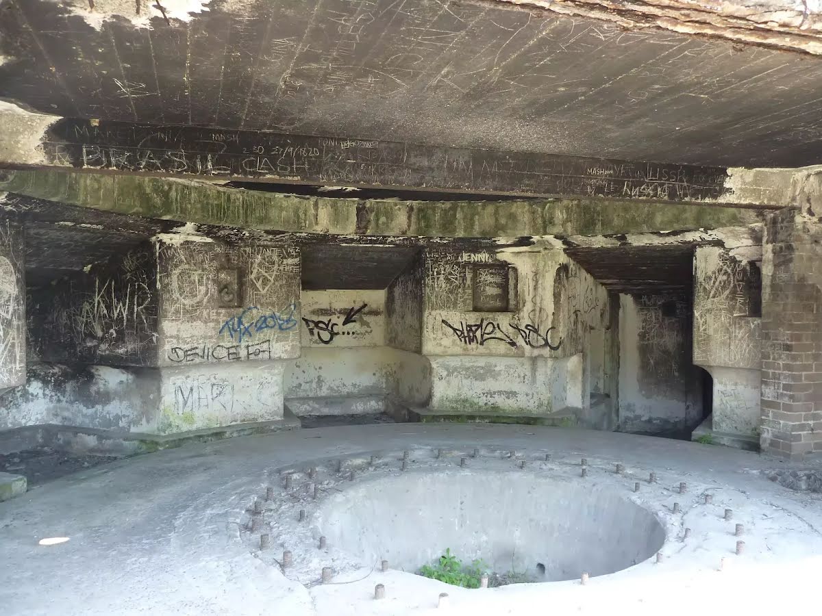
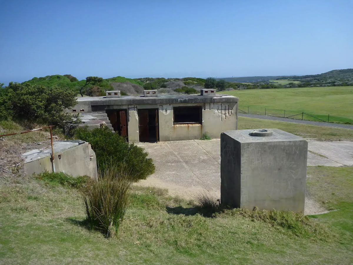
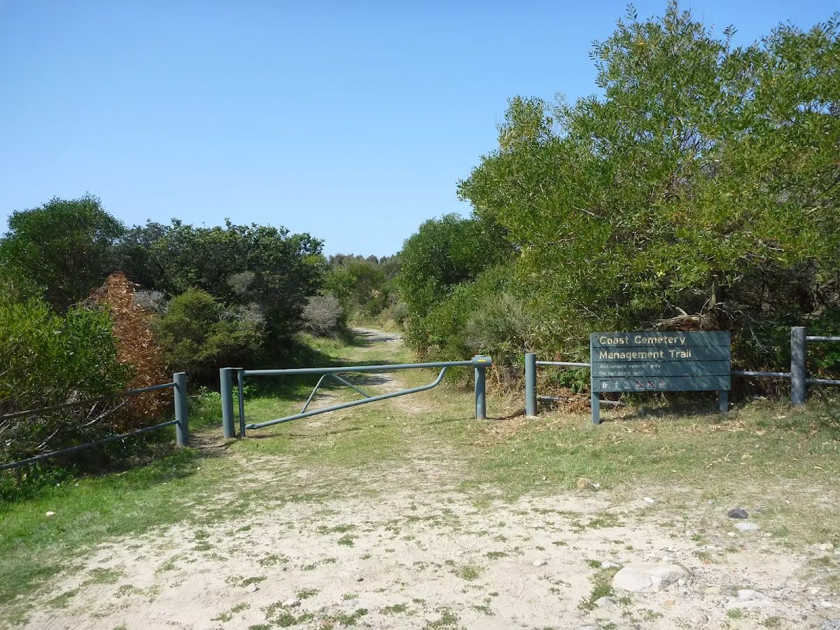
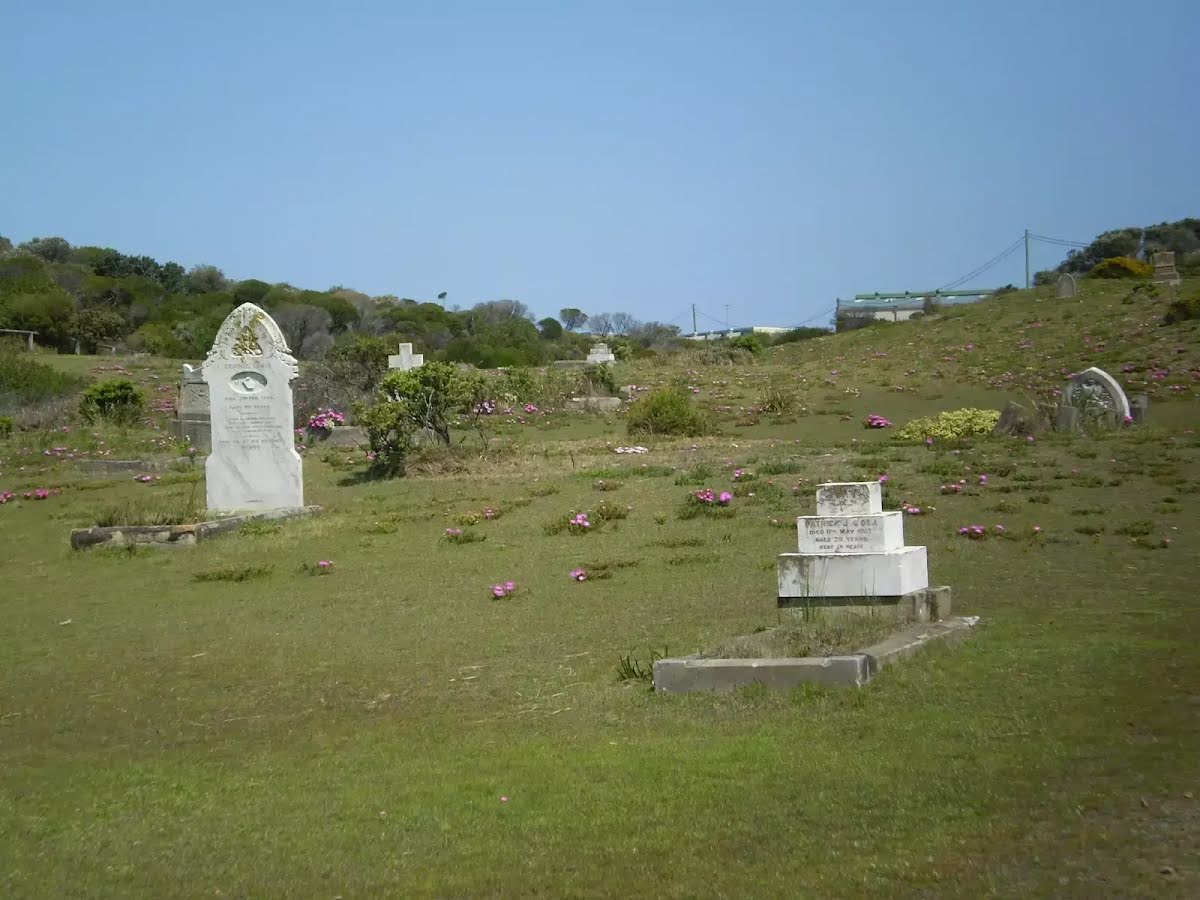
The starting point of an optional sidetrip. An optional side trip to Coast Hospital Cemetery int.. To start this optional side trip turn right here. On returning from this side trip veer right when you get back to this intersection. Details below.
|
 |
|
 |
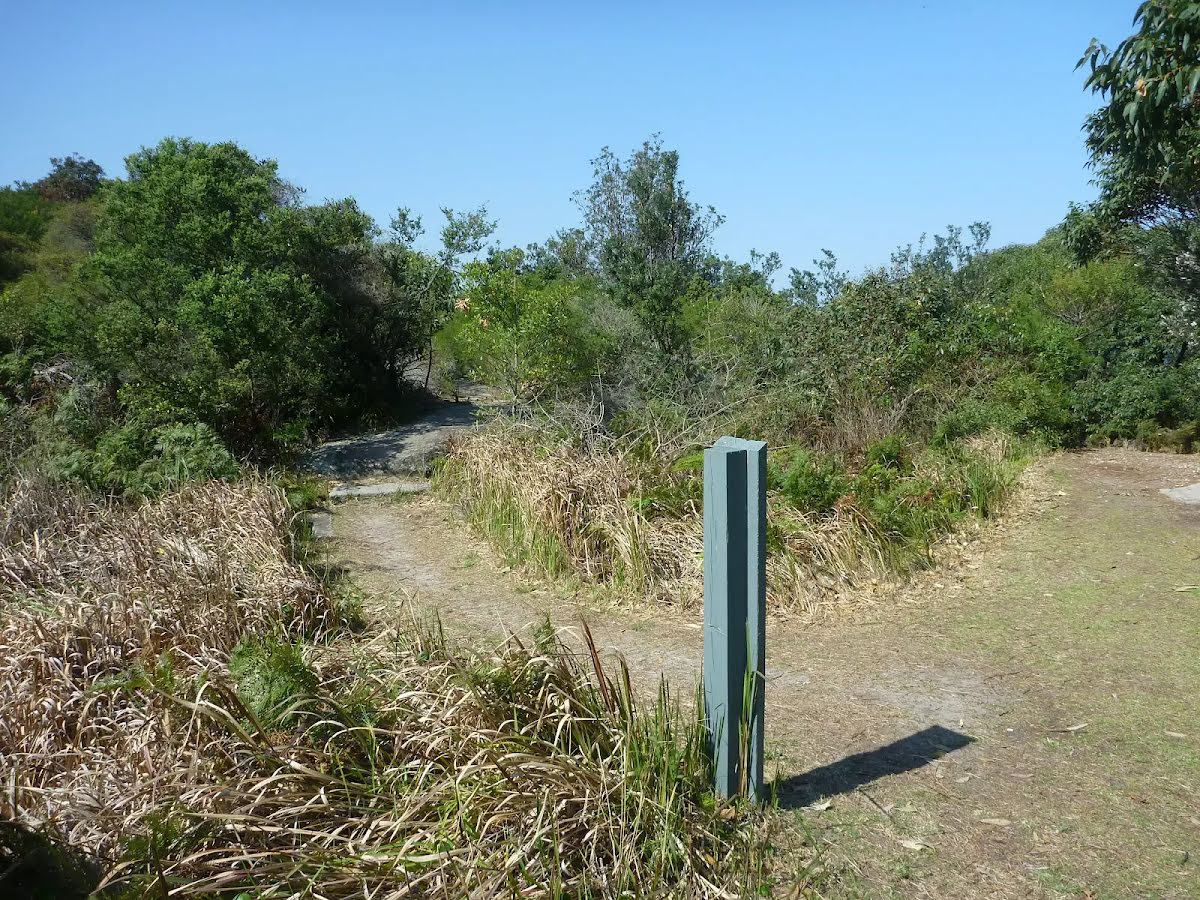
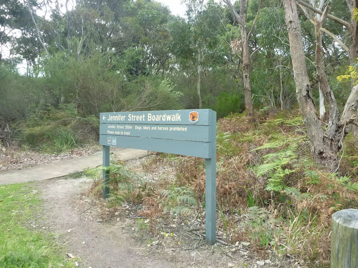
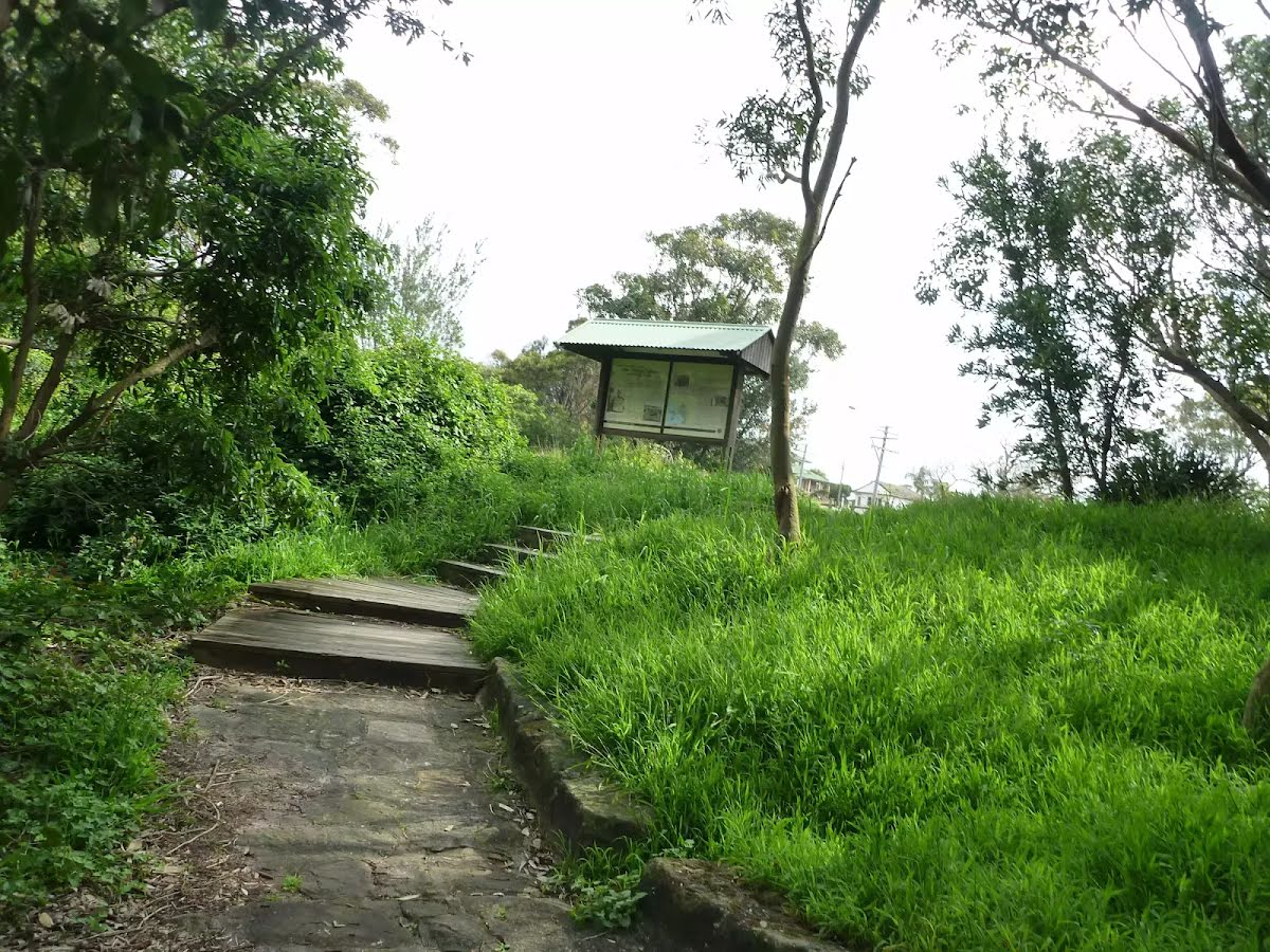
The starting point of an optional sidetrip. An optional side trip to Int of Jennifer Street Boardwalk & Jennifer Street. To start this optional side trip turn sharp right here. On returning from this side trip continue straight when you get back to this intersection. Details below.
After another 35 m (at the intersection of Jennifer Street Boardwalk & Cape Banks Road) continue straight, to head along Cape Banks Road.
|
 |
After another 180 m (at the intersection of Cape Banks Road & Henry Head Avenue) turn right, to head along Cape Banks Road (a vehicle track).
|
 |
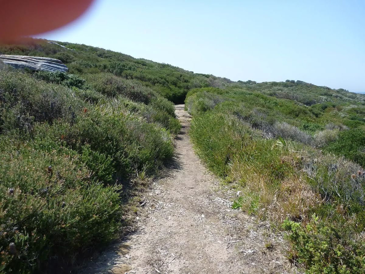
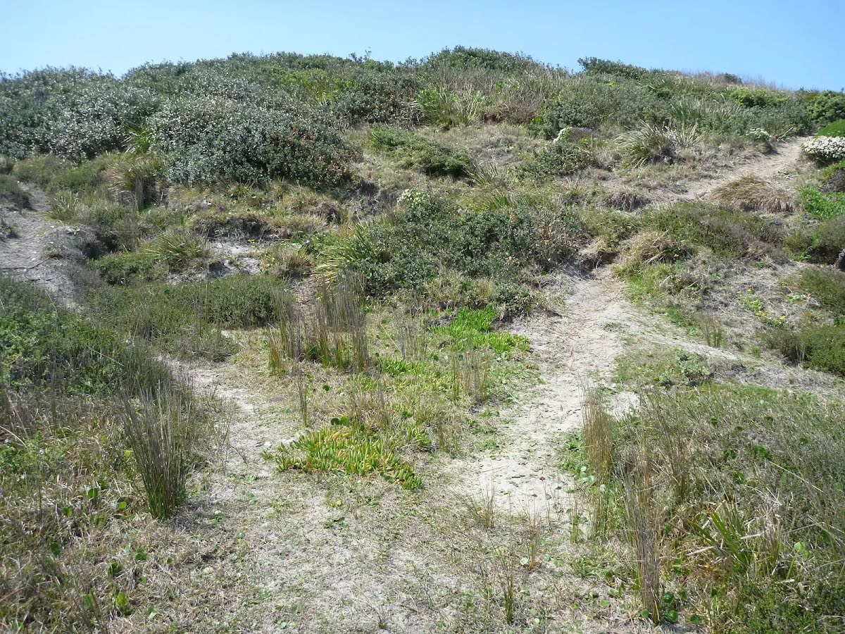
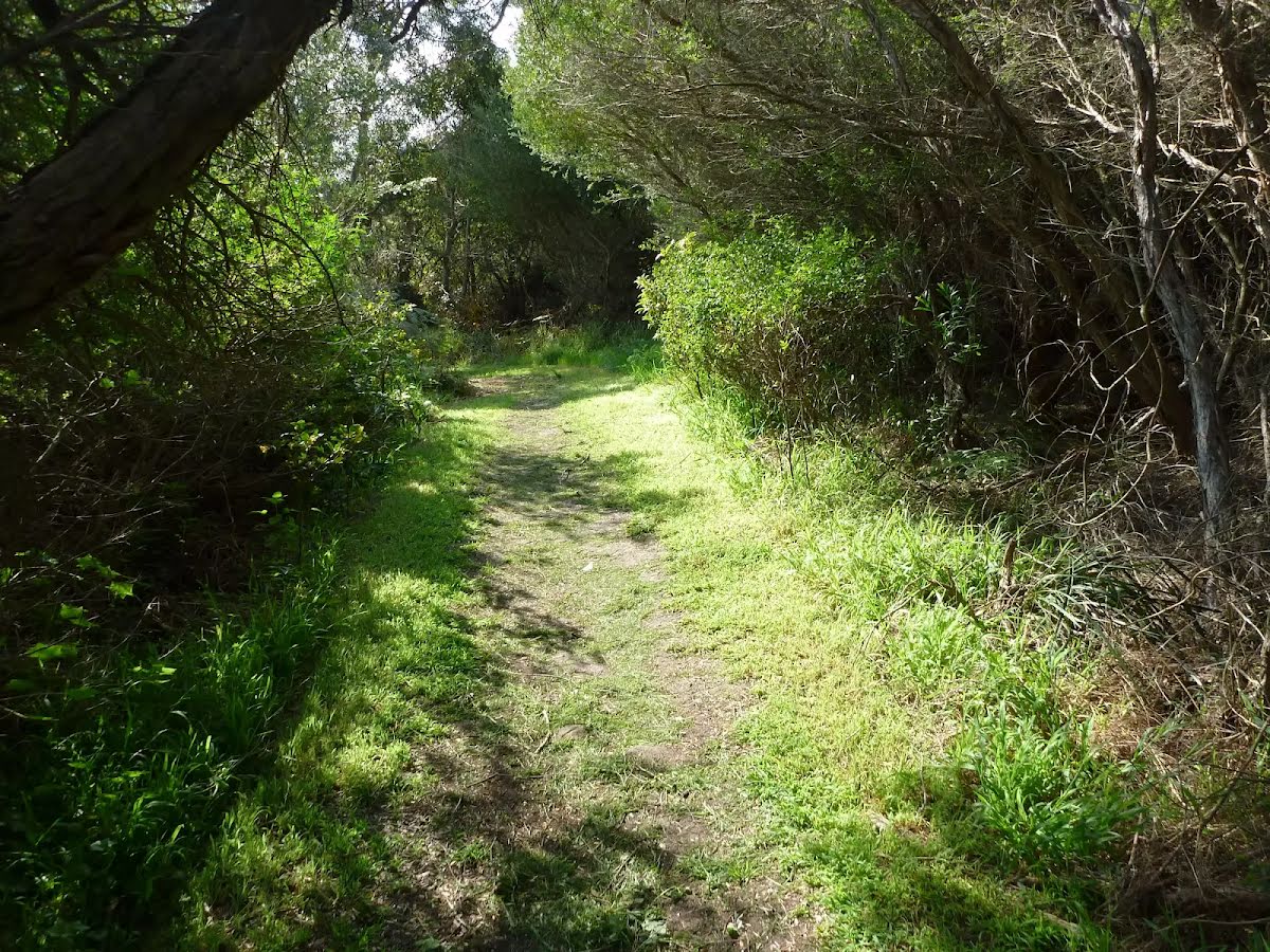
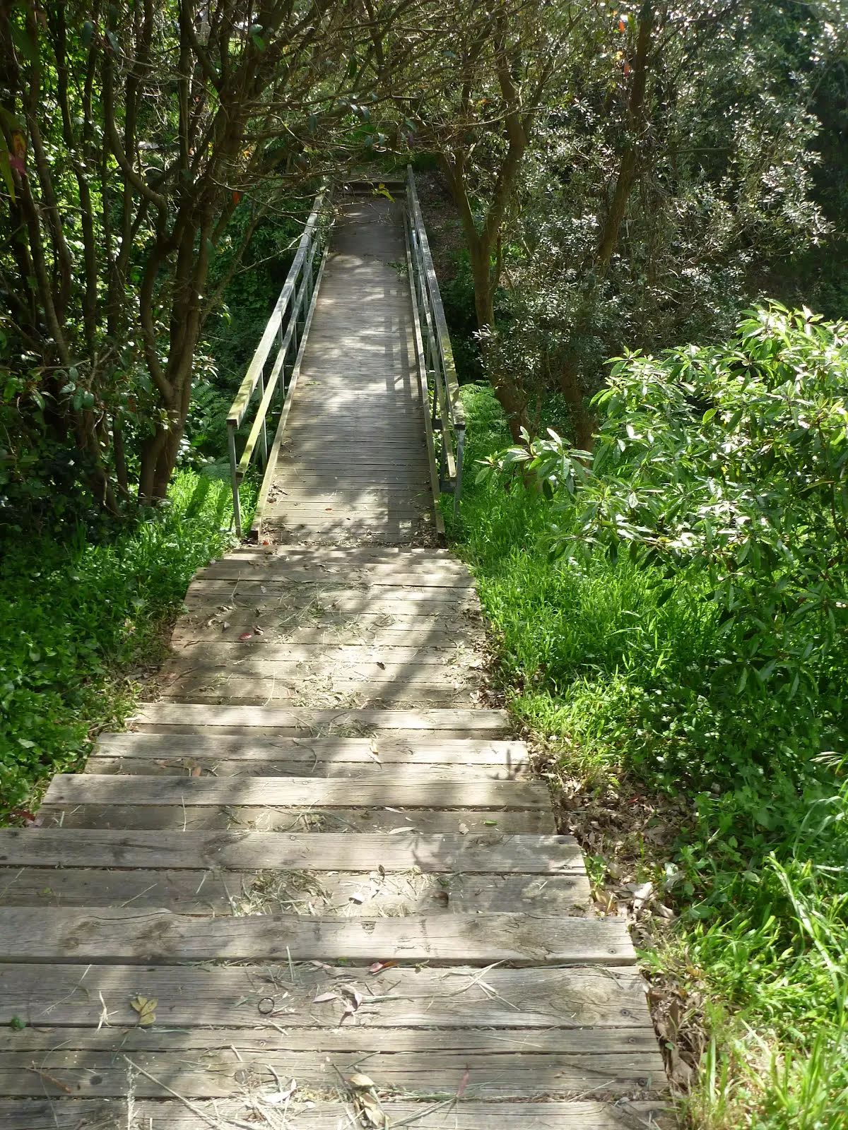
After another 150 m (at the intersection of Henry Head Walking Track & Cape Banks Road) turn right, to head along Henry Head Walking Track (a walking track).
|
 |
|
 |
|
 |
|
 |
|
 |
|
 |

|
|
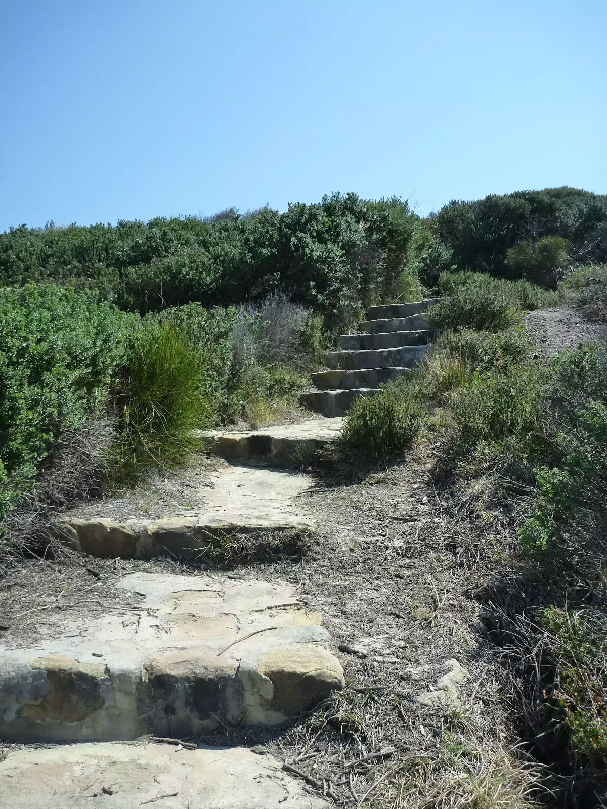
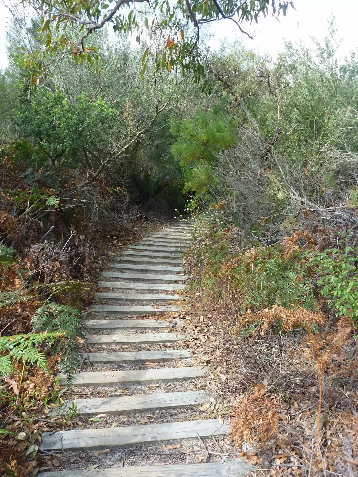
Class 4/6 Hard track |
|---|---|
| Length | 6.5 km |
| Time | 2 h 15 min to 3 h |
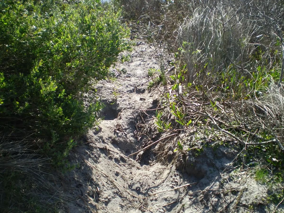
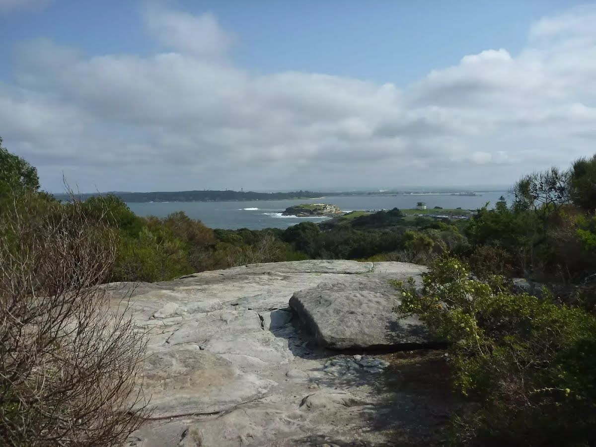
| Quality of track | Rough track, where fallen trees and other obstacles are likely (4/6) |
| Gradient | Very steep (4/6) |
| Signage | Minimal directional signs (4/6) |
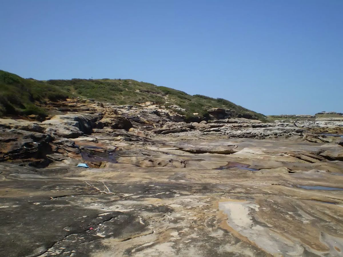
| Infrastructure | Limited facilities (such as cliffs not fenced, significant creeks not bridged) (4/6) |
| Experience Required | Moderate level of bushwalking experience recommended (4/6) |
| Weather | Storms may impact on navigation and safety (3/6) |
| Item | From Start | Name & link to notes |
|---|---|---|
Toilet
| 40 m | [toilet] |
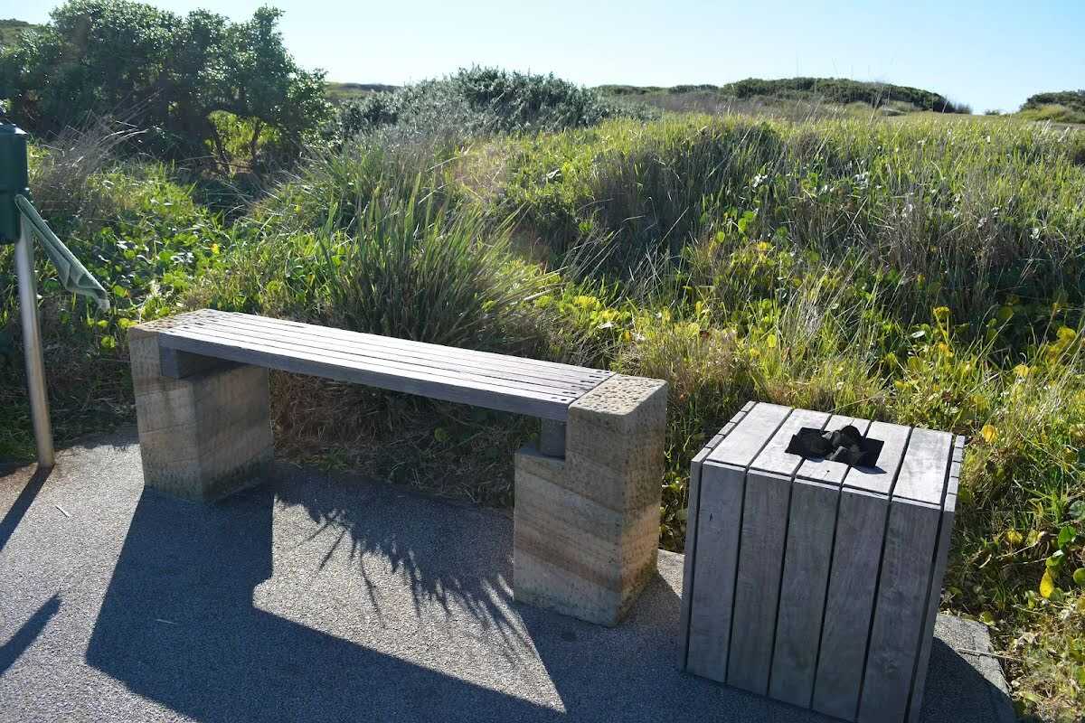
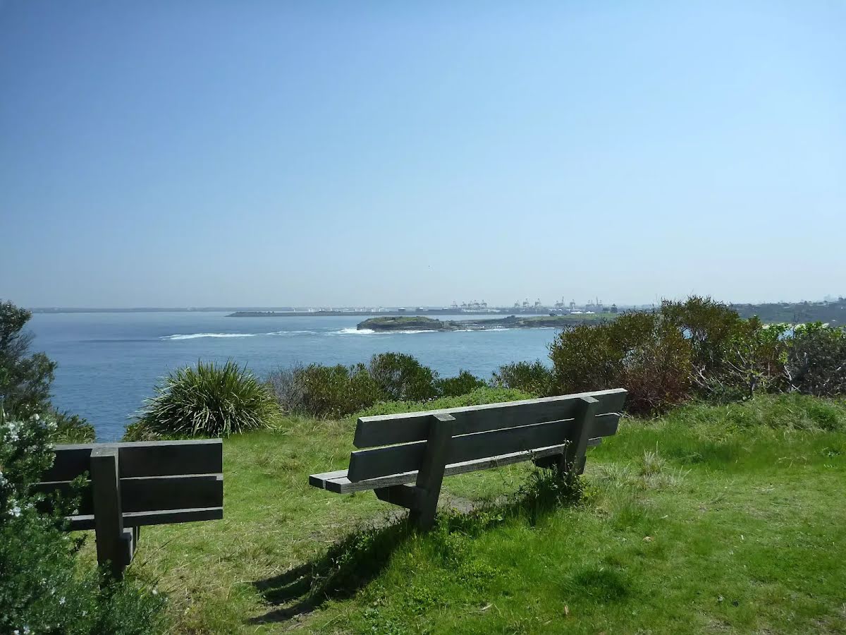
Seat
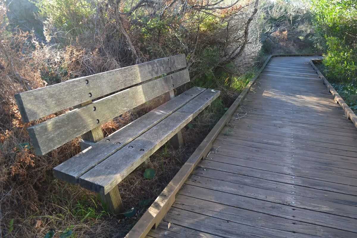
| 1.3 km | [seat] |
Seat
| 2.5 km | [seat] |
Seat
| 3.3 km | Seat |
Seat
| 5 km + 100 m | Seat |
Seat
| 5 km + 340 m | Seat |