The Pipeline Way
Guringai Country

2 h to 2 h 15 min

4.7 km
oneway

↑ 181 m
↓ -199 m

Hard track
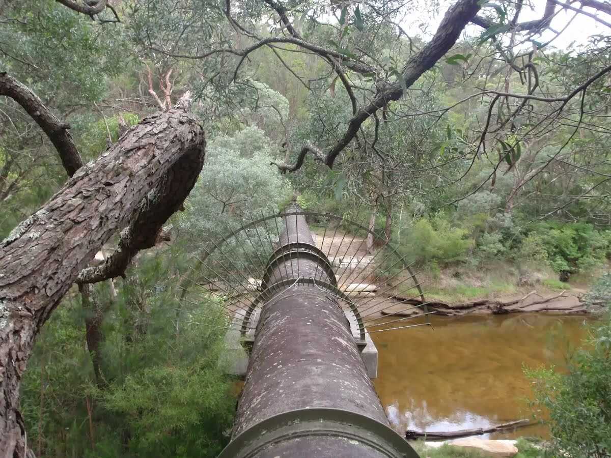
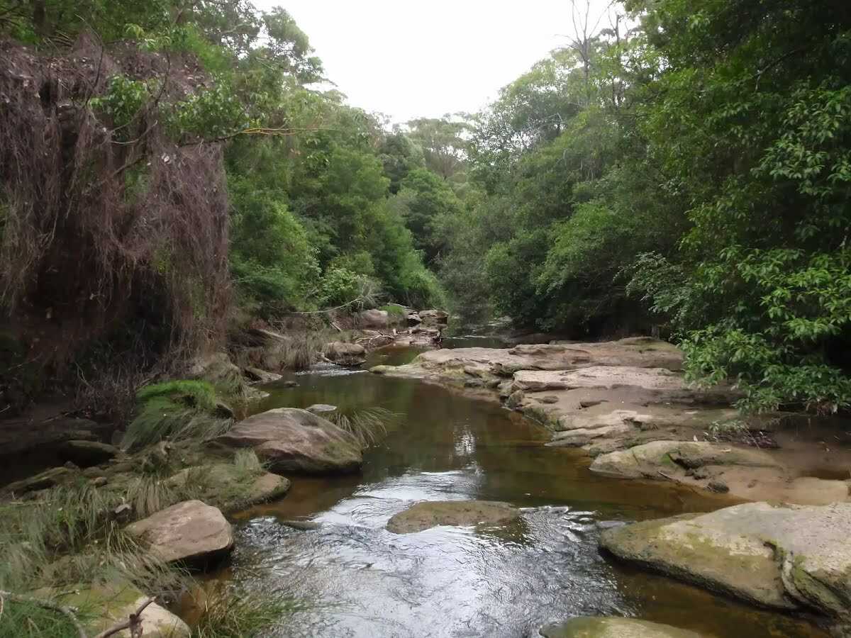
This pleasant walk follows the pipeline, from Hunter Avenue in St Ives, to John Oxley Drive, Davidson. The walk follows the pipeline down into the valley and crosses Middle Harbour Creek (via a quick upstream detour to the Bungaroo Track crossing) before climbing out of the valley to John Oxley Drive. Let us begin by acknowledging the Guringai people, Traditional Custodians of the land on which we travel today, and pay our respects to their Elders past and present. 
Show all
top of the pipeline. | Photo by admin, 2009.
following the pipeline near scout hall. | Photo by admin, 2009.
Walking behind some houses. | Photo by admin, 2009.
Pipeline at top of Founders way track. | Photo by admin, 2009.
Intersection near the lower entrance from Hunter St. | Photo by admin, 2009.
Welcome to Garigal National Park. | Photo by admin, 2009.
Service trail along pipeline track. | Photo by admin, 2009.
Continuing through the bush. | Photo by admin, 2009.
Following the Pipeline Track. | Photo by admin, 2009.
Heading through the bush. | Photo by admin, 2009.
The pipeline crossing Middle Harbour Crk. | Photo by admin, 2007.
Following the bushtrack. | Photo by admin, 2009.
Through the bush beside the creek. | Photo by admin, 2009.
Crossing over a fallen tree. | Photo by admin, 2009.
Following the creek. | Photo by admin, 2009.
Steps at the bottom of the Bungaroo track. | Photo by admin, 2009.
continuing through the bush. | Photo by admin, 2009.
Int of Gov. Phillip and Bungaroo tracks. | Photo by admin, 2009.
Stepping stones across Middle Harbour Creek. | Photo by admin, 2009.
Int of Gov. Phillip and Bungaroo tracks. | Photo by admin, 2009.
Cave on Governor Phillip track. | Photo by admin, 2009.
Following the creek to the pipebridge. | Photo by admin, 2009.
Bottom of Davidson track. | Photo by admin, 2009.
Climbing up the management trail. | Photo by admin, 2009.
Davidson service trail. | Photo by admin, 2009.
Continuing through the bush. | Photo by admin, 2007.
Garigal national park boundary. | Photo by admin, 2009.
Steep section on Davidson service trail. | Photo by admin, 2009.
Coming up to John Oxley Drive. | Photo by admin, 2009.
Davidson Track trackhead at John Oxley Drive. | Photo by admin, 2009.
Map Notes Terrain Reviews Conditions More
Downloads GPX PDF

Some of the information and maps on this page was generated using data from the awesome © OpenStreetMap contributors.
Please see how you can embed some widgets, access data and other stuff to that might be helpful.