| Start | (-33.6966275,150.5349004) |
| Mode | Bus Car (There is free parking available.) Train |
| Directions | From
|
| Finish | (-33.6991398,150.5635589) |
| Mode (end) | Car Shuttle Bus Car (There is free parking available.) |
| Turn map | Directions & comments |
|---|---|
 |
|
 |
|
 |
Faulconbridge, in the Blue Mountains, New South Wales, was named after the maiden name of Sir Henry Parkes' mother. Faulconbridge sits on the Great Western Highway and is surrounded by valleys of lush bushland. This picturesque town was a home, and final resting place, for Sir Henry Parkes', heralded as the 'Father of Federation'. Faulconbridge was originally explored by non-indigenous Australians in 1813, by Blaxland, Wentworth and Lawson who were searching for a route over the Blue Mountains .
|
 |
|
 |
|
 |
|
 |
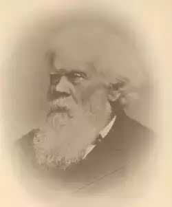 The Victory Track is more formally know as the 'Sir Henry Parkes Victory Track' and is called the 'Victoria Track' in many guide books. The track starts near Sir Henry Parkes' grave in Faulconbridge and leads to Sassafrass Gully Creek. Sir Henry Parks (1815-1896) was a politician and journalist, born in England. He is considered to be the 'Father of Federation' for Australia, although he died of natural causes 5 years before Australia's federation. Parkes was the premier of New South Wales five times. The town Parkes was named in his honour. Parkes would sometime write under the pseudonym 'Faulconbridge' (his mothers maiden name) for the Sydney Morning Herald and other papers and Faulconbridge (the township) was named after his mother when Parkes purchased 600 acres in 1877.
|
 |
|
 |
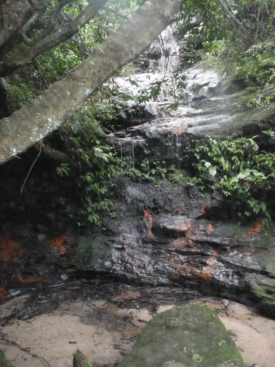 Clarinda Falls is a charming waterfall on Sassafras Creek. The water cascades over a near-vertical wall, into a sandy pool below. The falls are signposted from the main track and provide a nice cool detour, especially on warmer days. The falls are named for the first wife of Sir Henry Parkes, 'Father of Australian Federation'.
|
 |
The starting point of an optional sidetrip. An optional side trip to Clarinda Falls. To start this optional side trip continue straight here. On returning from this side trip turn left when you get back to this intersection. Details below.
|
 |
|
 |
 Victory Track camping area is a fairly large, informal camping place at the junction of Sassafras and Numantia Creeks. The clearing is in a moist section of forest with plenty of shade. Water from the creek should be treated before use.
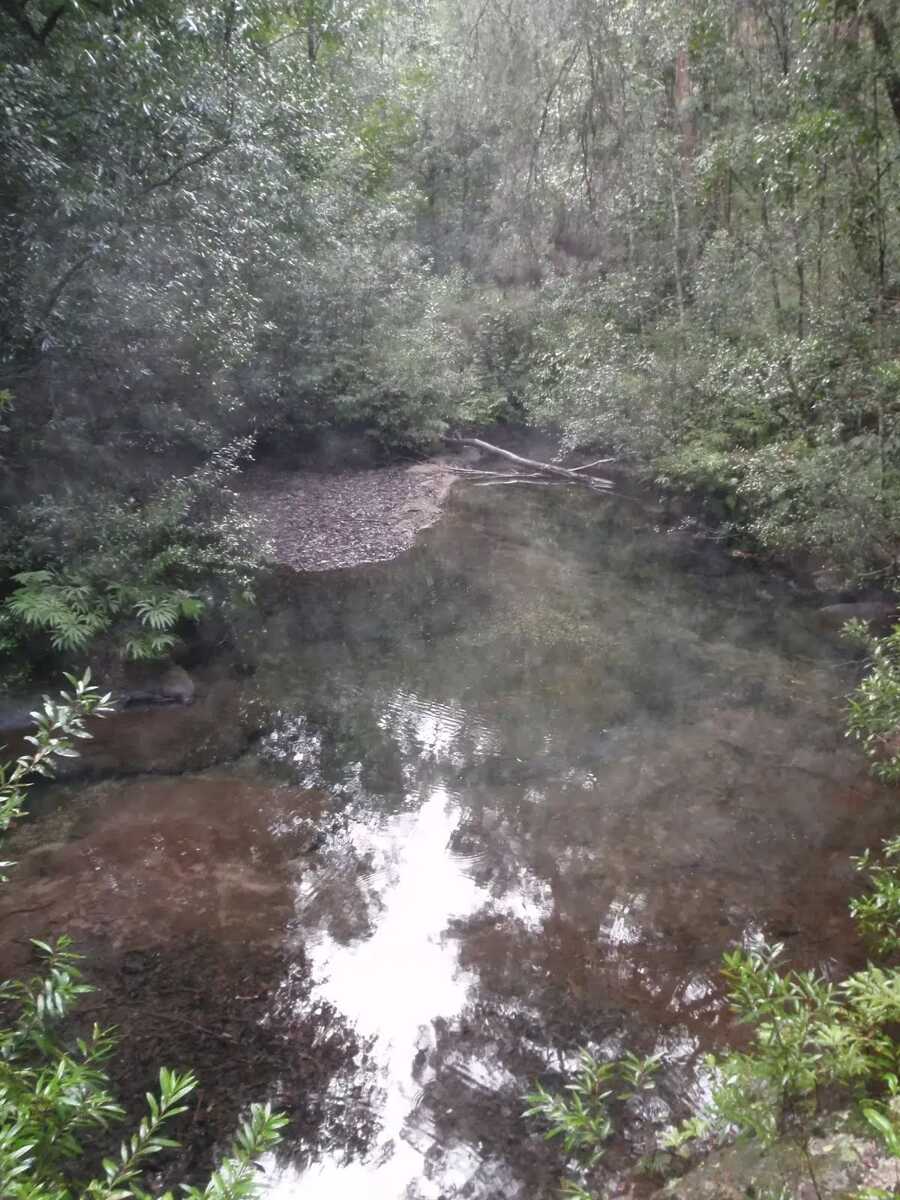 The Victory Track pool is an unofficially-named pond in Sassafras Creek. The pond is deep in parts but not adequate for a swim. It does, however, offer a chance to rest and gaze over the water. There is a small sandy beach, some moss-covered rocks and a lovely grove of Sassafras trees around the pool. This is a nice spot to stop, catch your breath and soak up your surroundings.
|
 |
|
 |
|
 |
 Picnic Point, in Springwood, Blue Mountains, is a quiet, grassy clearing tucked behind the houses above Magdala Creek. The area has a gazebo, picnic table and water tank (water needs to be treated). The clearing has a track leading down to many popular walks, with Lawson's Lookout and Fairy Dell Reserves nearby.
|
 |
|
 |
|
 |
|
 |
|
 |
|
 |
Springwood, along the Great Western Highway, is the second largest town in the Blue Mountains. Springwood also takes the title for the oldest railway station in the Blue Mountains. There are a variety of shops in Springwood, with quite a few cafes, bakeries and two historic hotels. Springwood was named by Governor Macquarie, when his wife and he stopped for water from a deep glen spring, in 1815. It seems aptly named, with many springs and creeks leading away from the ridge at Springwood, including Sassafras Gully, Magdala Creek and Glenbrook Creek.
|
 |

|
|
Class 4/6 Hard track |
|---|---|
| Length | 6.3 km |
| Time | 2 h 30 min to 3 h |
| Quality of track | Rough track, where fallen trees and other obstacles are likely (4/6) |
| Gradient | Very steep (4/6) |
| Signage | Directional signs along the way (3/6) |
| Infrastructure | Limited facilities (such as cliffs not fenced, significant creeks not bridged) (4/6) |
| Experience Required | No experience required (1/6) |
| Weather | Weather generally has little impact on safety (1/6) |
| Item | From Start | Name & link to notes |
|---|---|---|
Campsite
| 2.4 km | Victory Track camping area |
Seat
| 6.2 km | [seat] |
Seat
| 6.2 km | [seat] |


