

| Start | From the Island View Drive (-33.4636267,151.3793369) |
| Mode | Bus Car (There is free parking available.) |
| Directions | From The Entrance Road, A49
|
| Finish | (-33.4446587,151.4067869) |
| Mode (end) | Car Shuttle Bus Car (There is free parking available.) |
| Turn map | Directions & comments |
|---|---|
 |
|
 |
|
 |
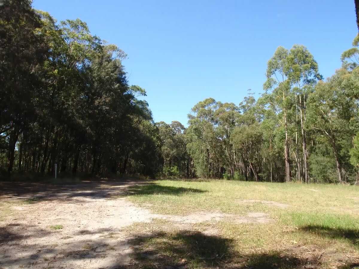
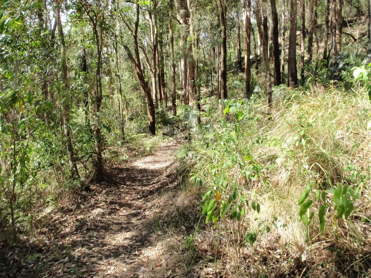
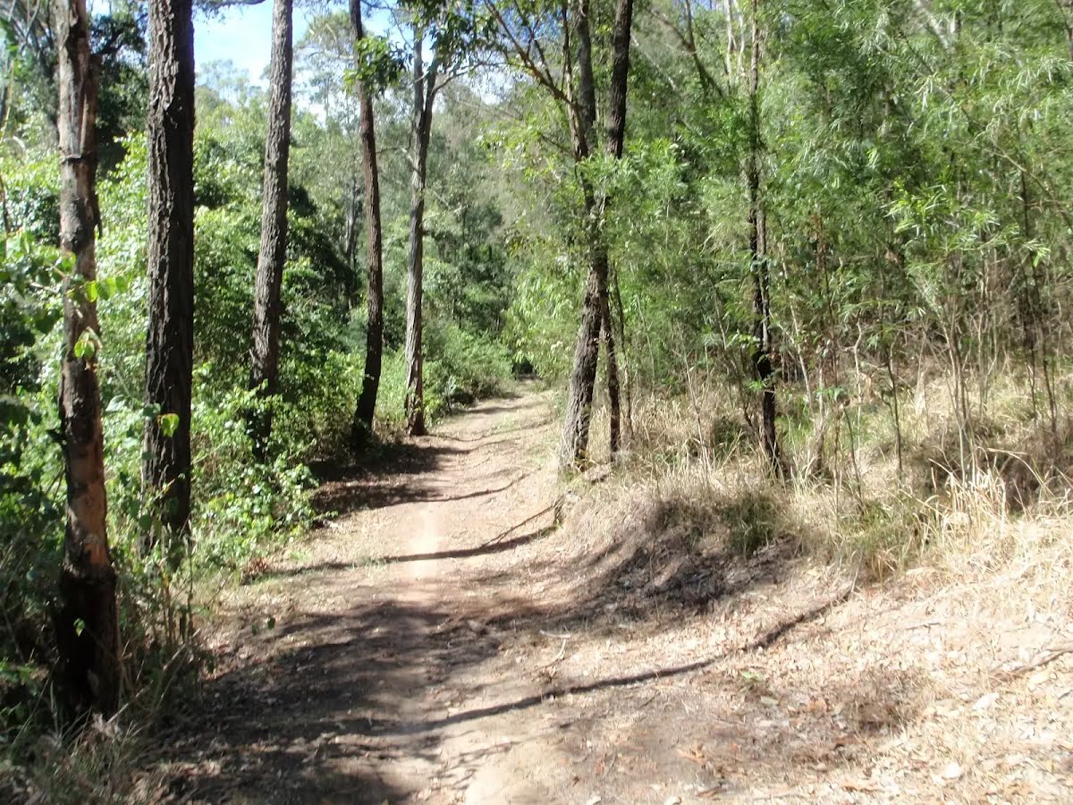
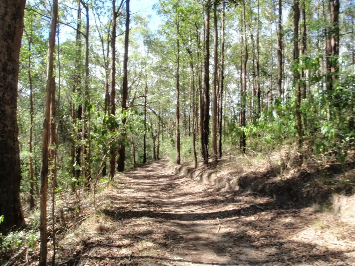
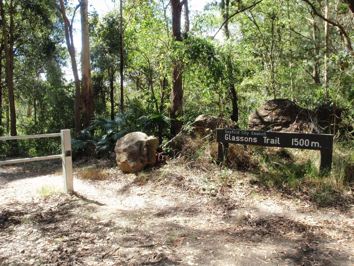
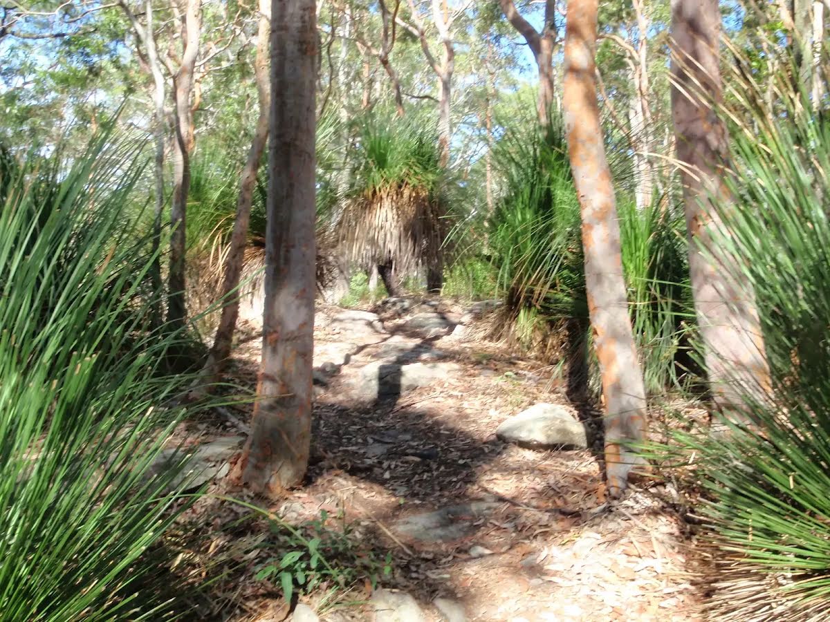
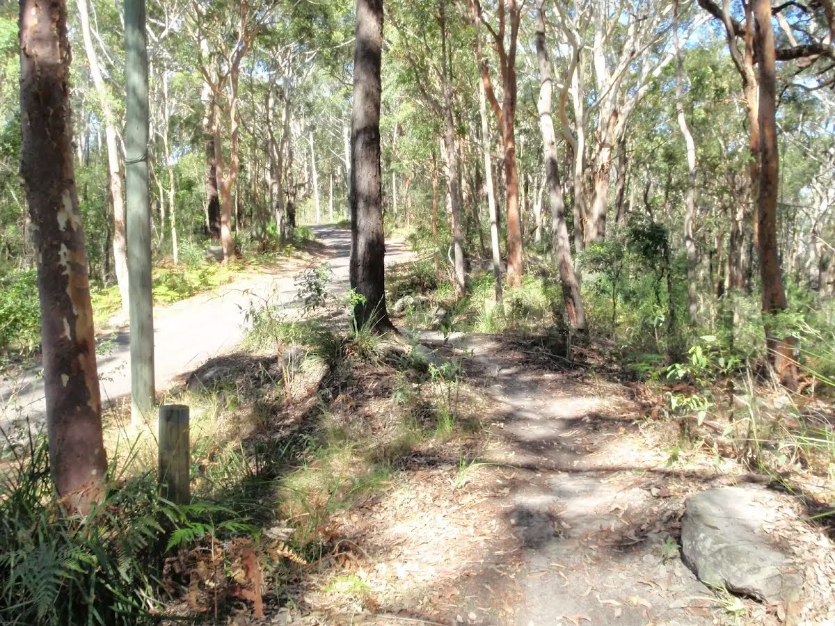
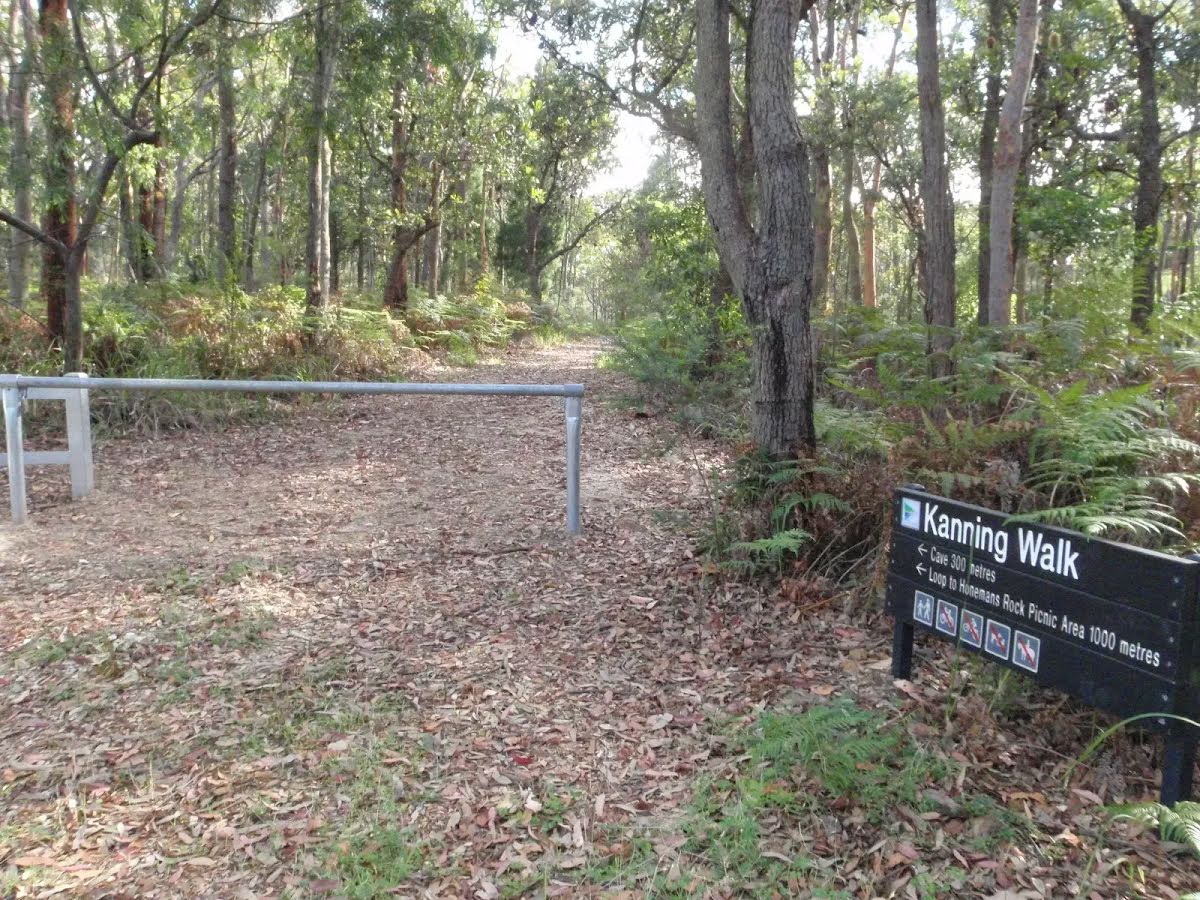
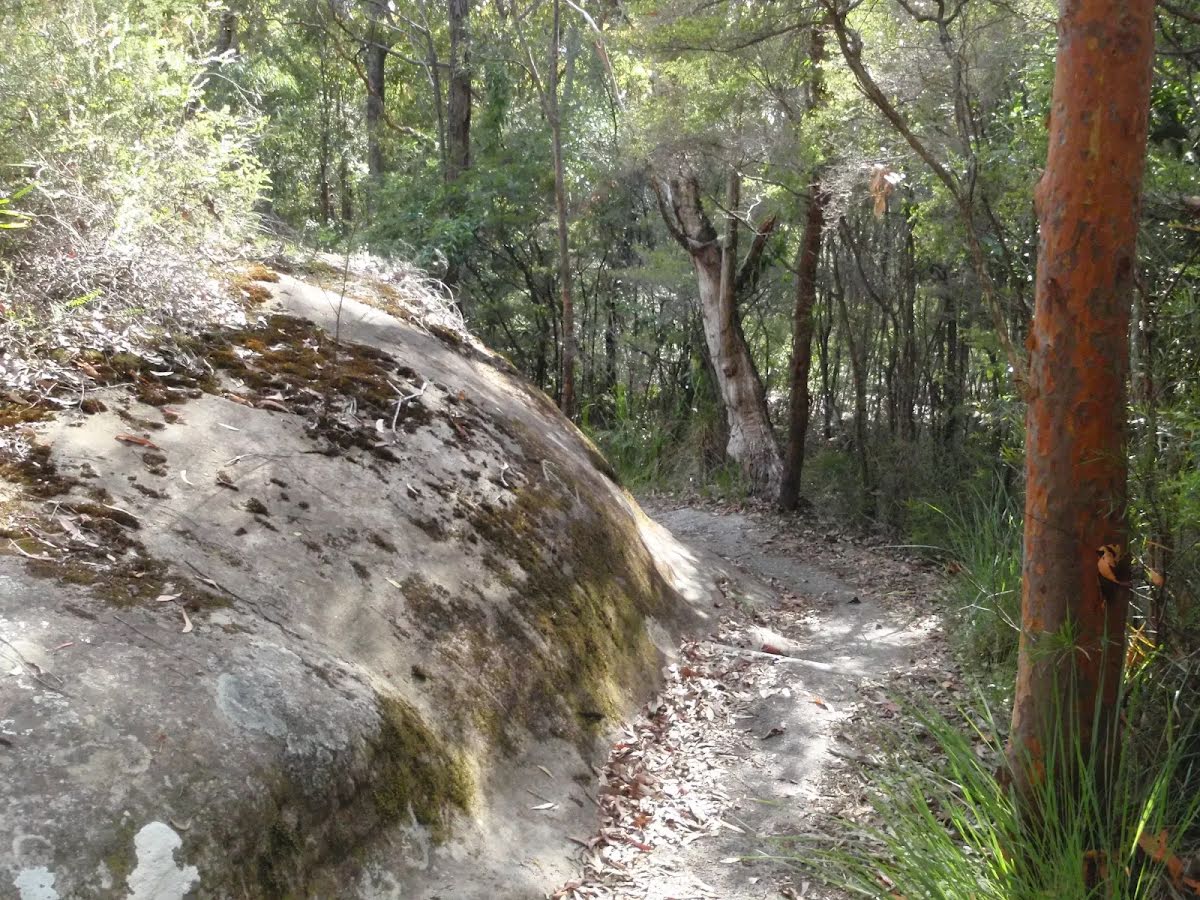
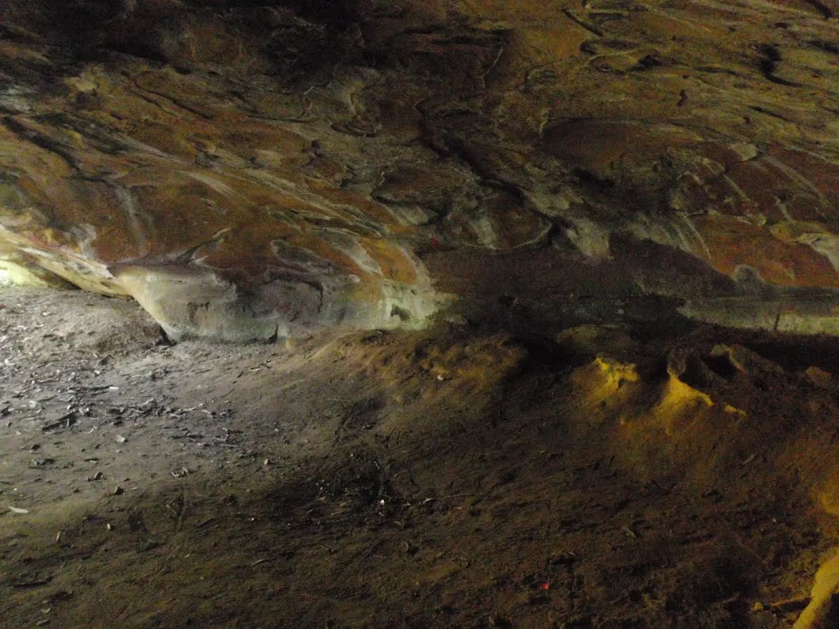
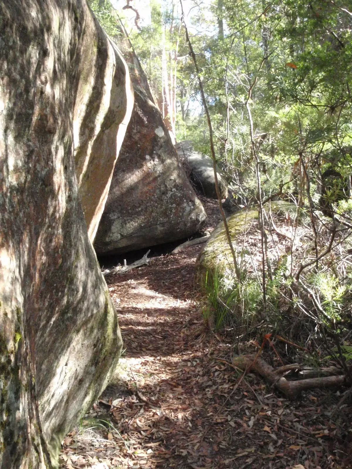
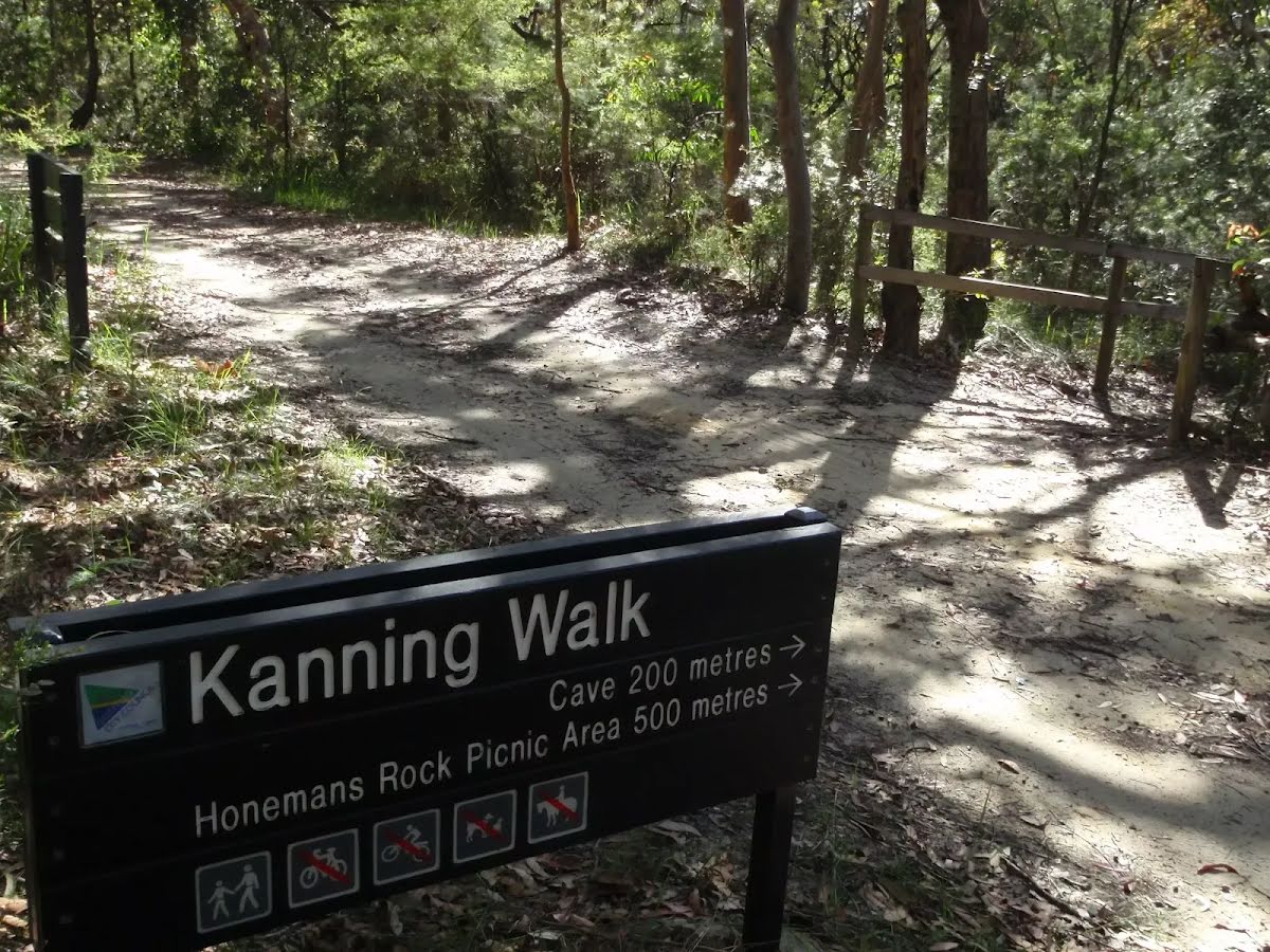
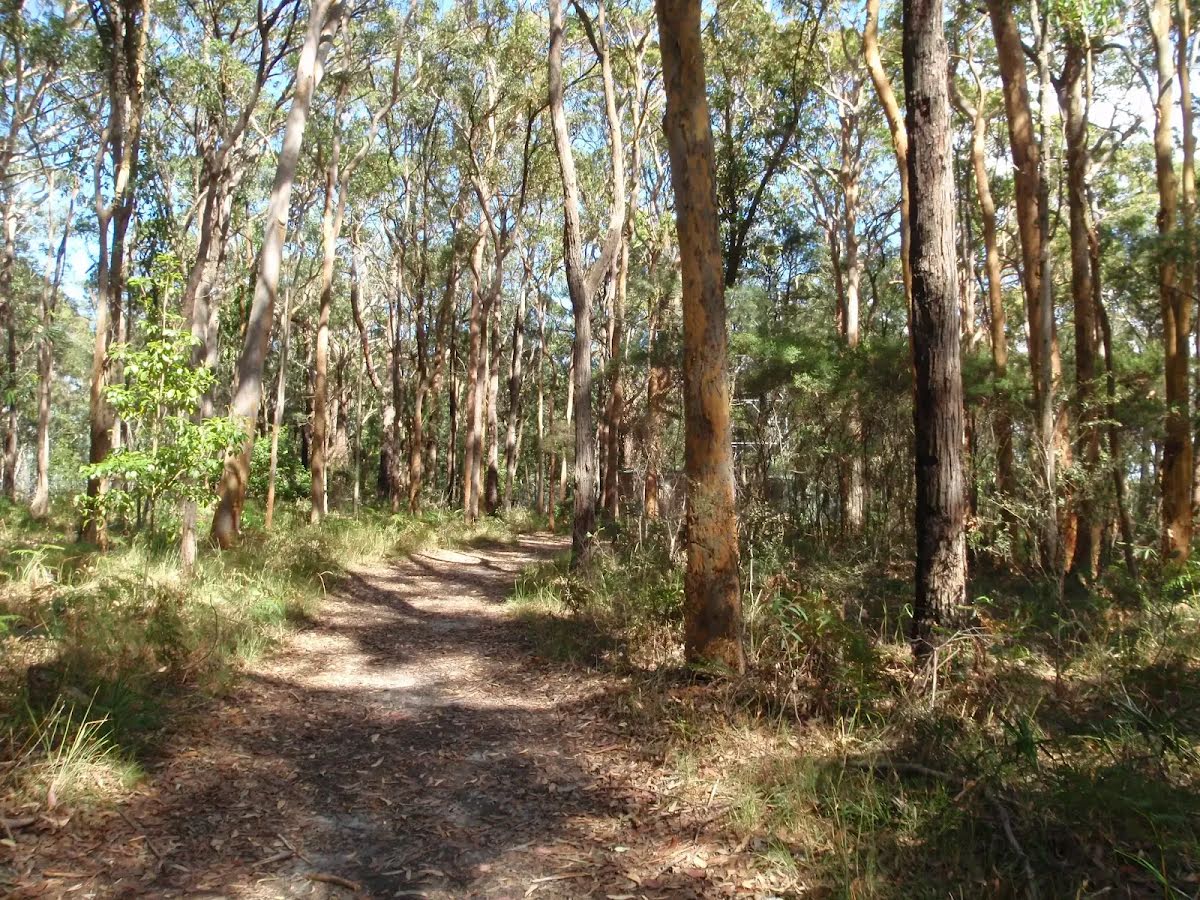
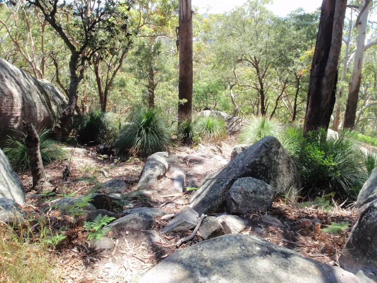
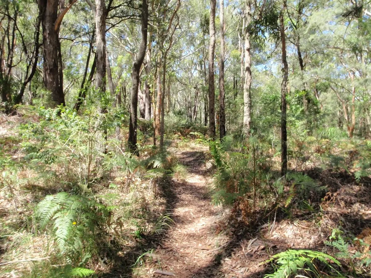
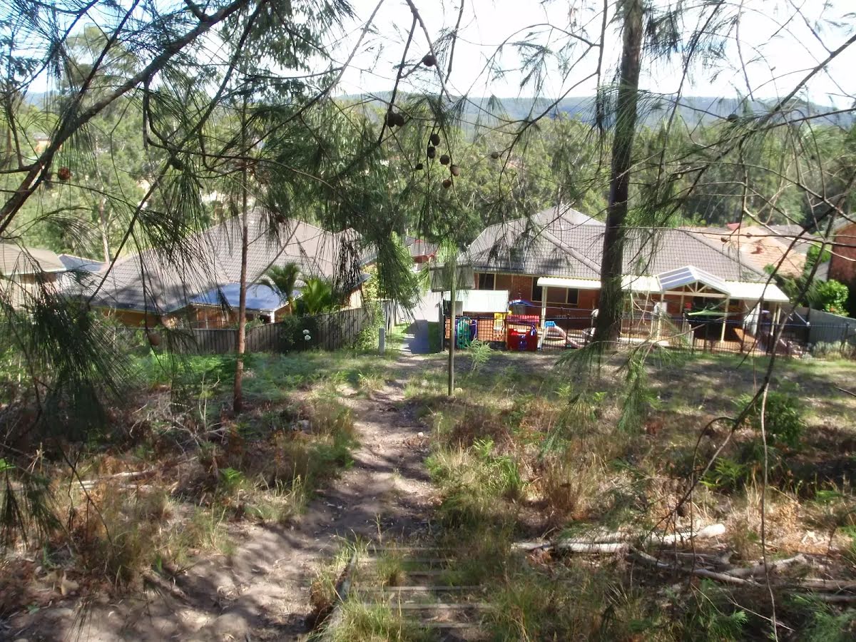
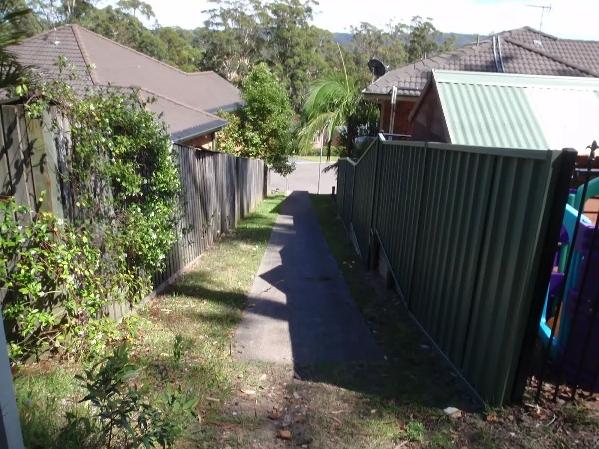
After another 15 m (at the intersection of Island View Drive & Kanning Walk) turn left, to head along Kanning Walk (a walking track).
|
 |
|
 |
|
 |
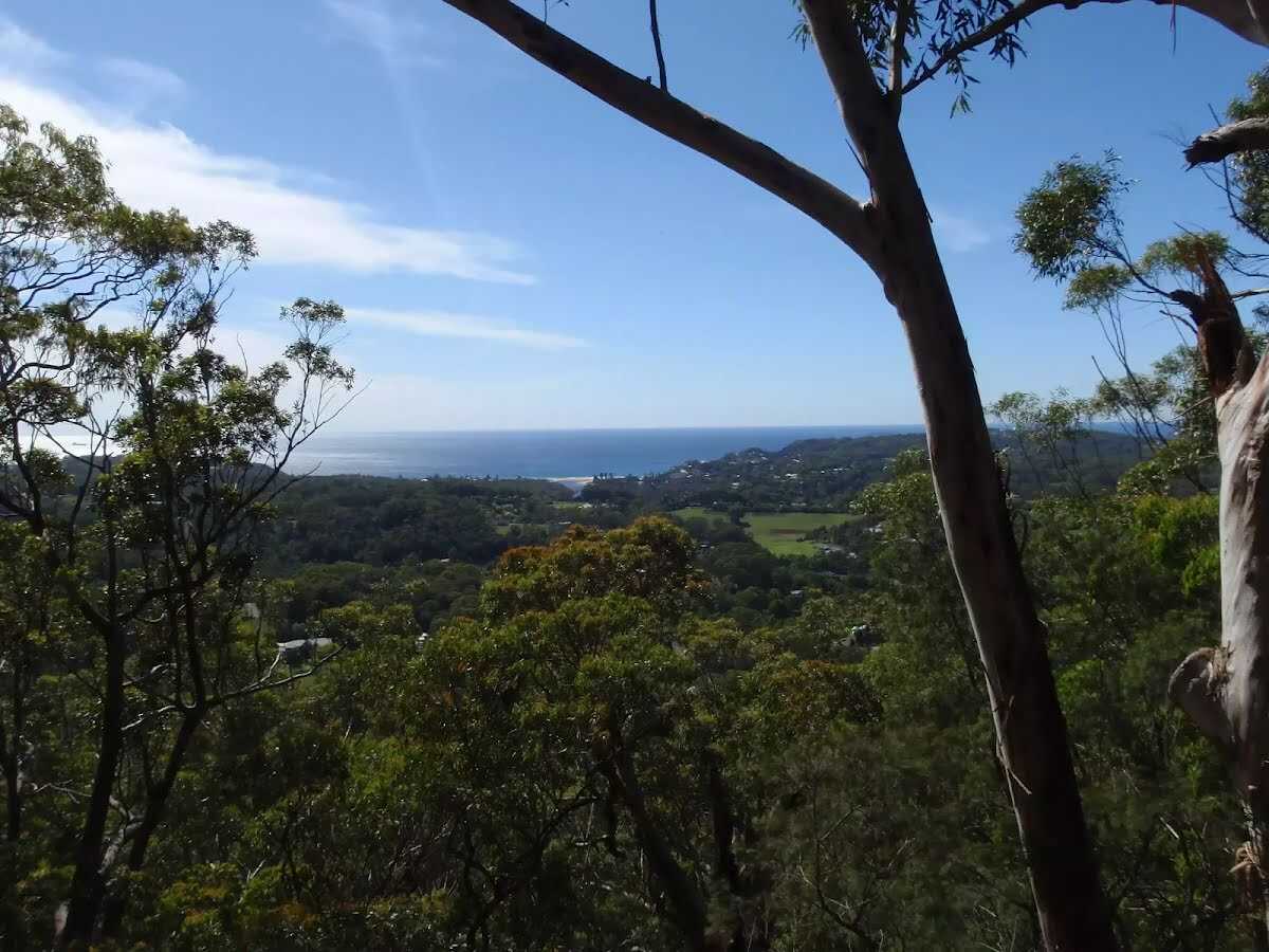
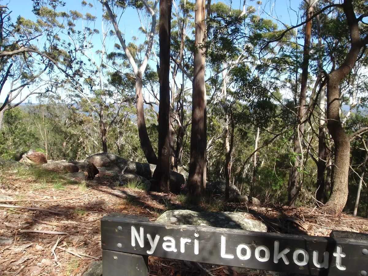
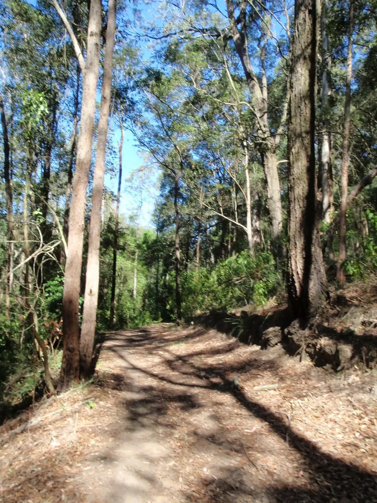
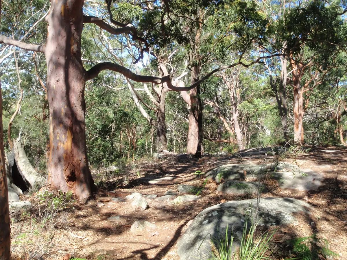
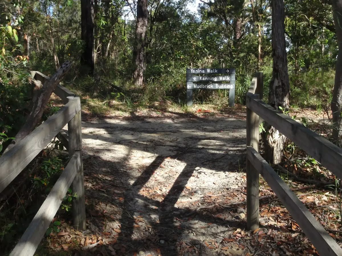
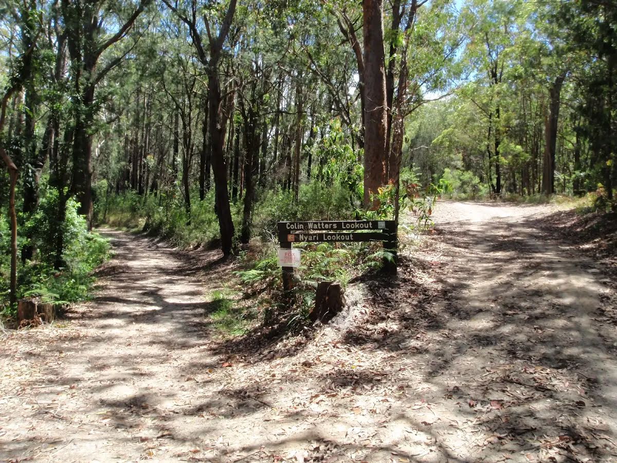
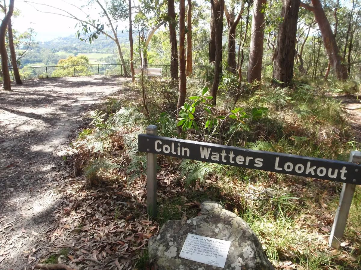
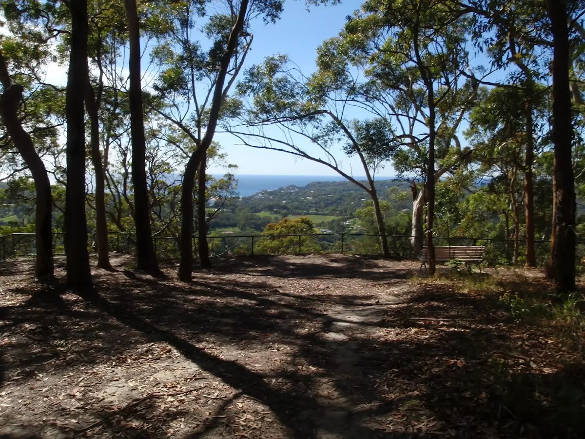
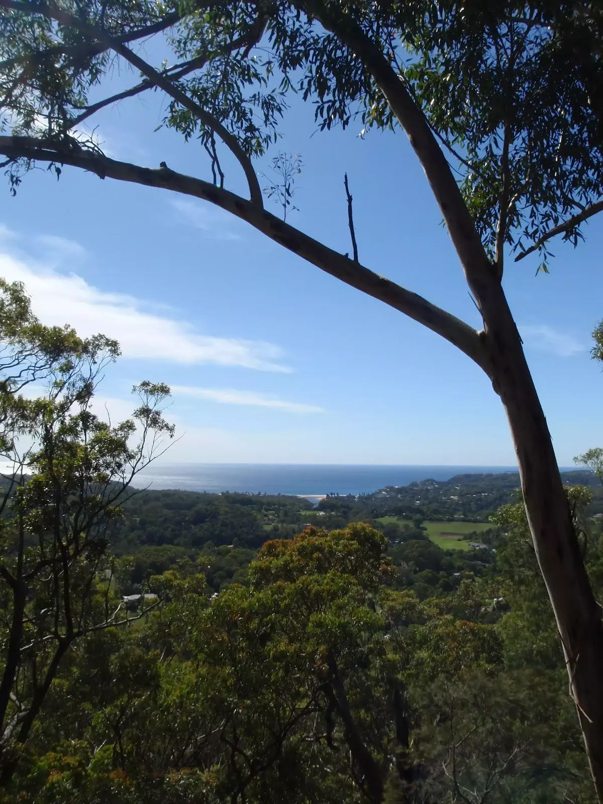
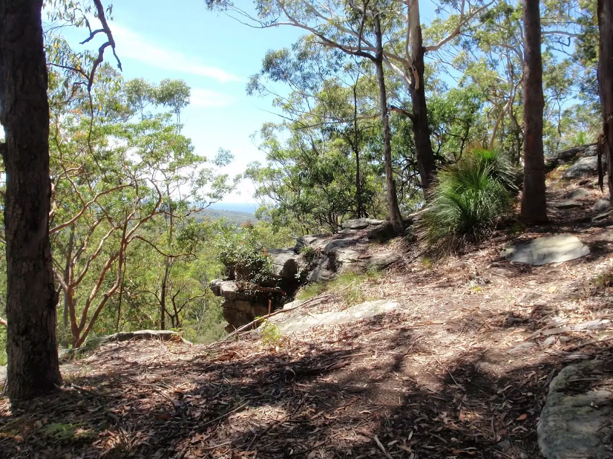
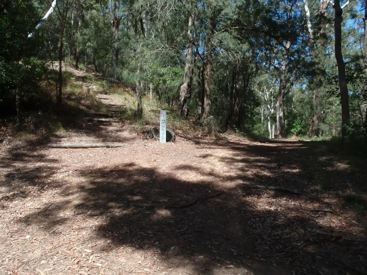
The starting point of an optional sidetrip. A little optional side trip taking you to Nyari Lookout for westerly views. To start this optional side trip turn left here. On returning from this side trip turn sharp left when you get back to this intersection. Details below.
|
 |
|
 |
|
 |
|
 |
|
 |
|
 |
|
 |
|
 |

|
|
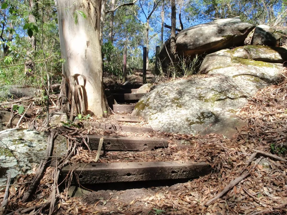
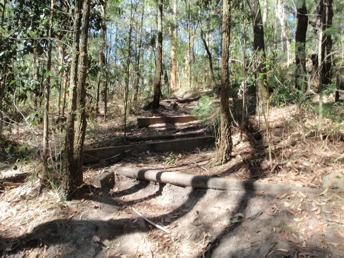
Class 4/6 Hard track |
|---|---|
| Length | 4.3 km |
| Time | 2 h to 4 h |
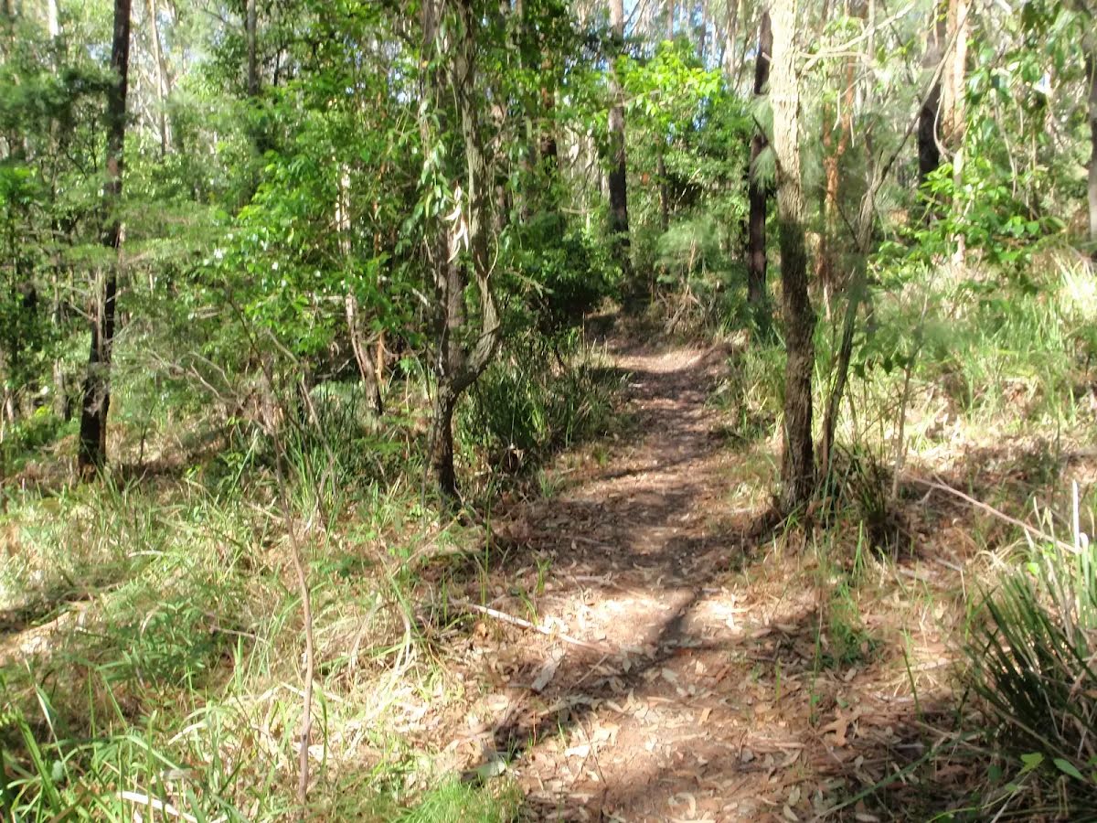
| Quality of track | Formed track, with some branches and other obstacles (3/6) |
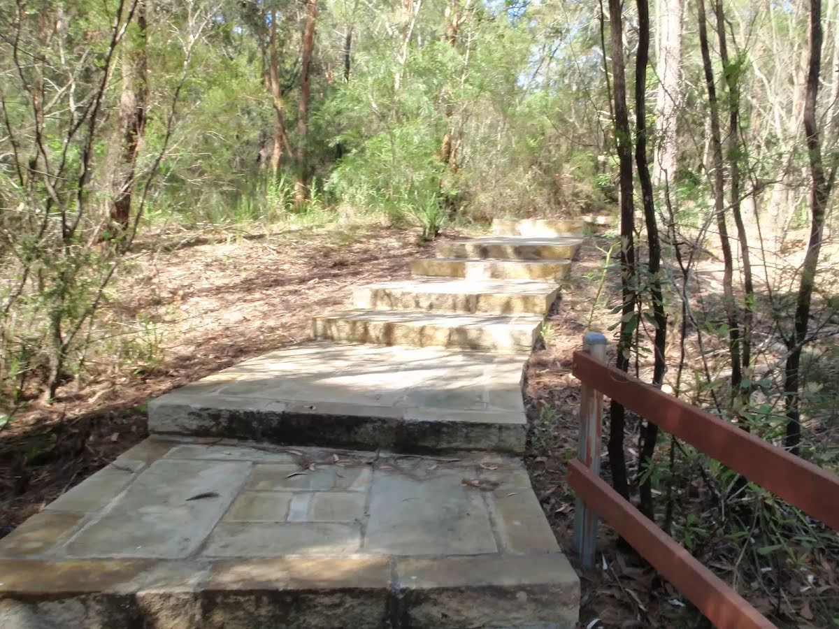
| Gradient | Very steep (4/6) |
| Signage | Minimal directional signs (4/6) |
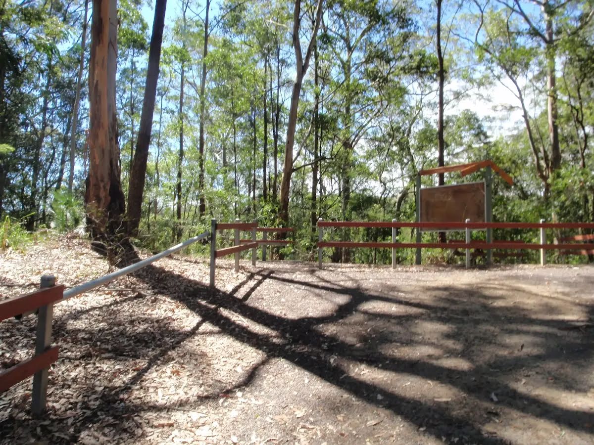
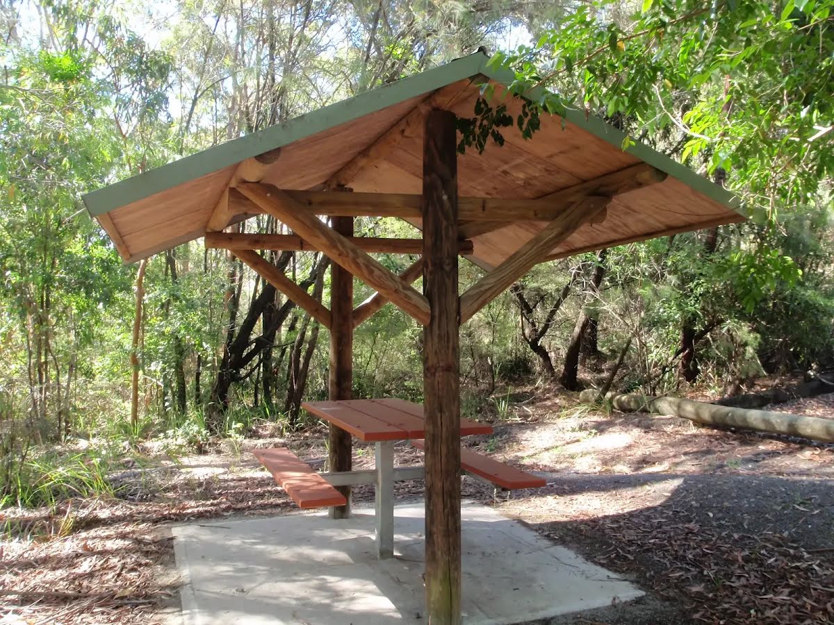
| Infrastructure | Generally useful facilities (such as fenced cliffs and seats) (1/6) |
| Experience Required | Moderate level of bushwalking experience recommended (4/6) |
| Weather | Weather generally has little impact on safety (1/6) |
| Item | From Start | Name & link to notes |
|---|---|---|
Seat
| 3.1 km + 160 m | [seat] |
Seat
| 3.3 km | [seat] |