Finchs Line Viewpoint
Dharug Country

2 h to 2 h 15 min

4.4 km
return

↑ 254 m
↓ -254 m

Moderate track
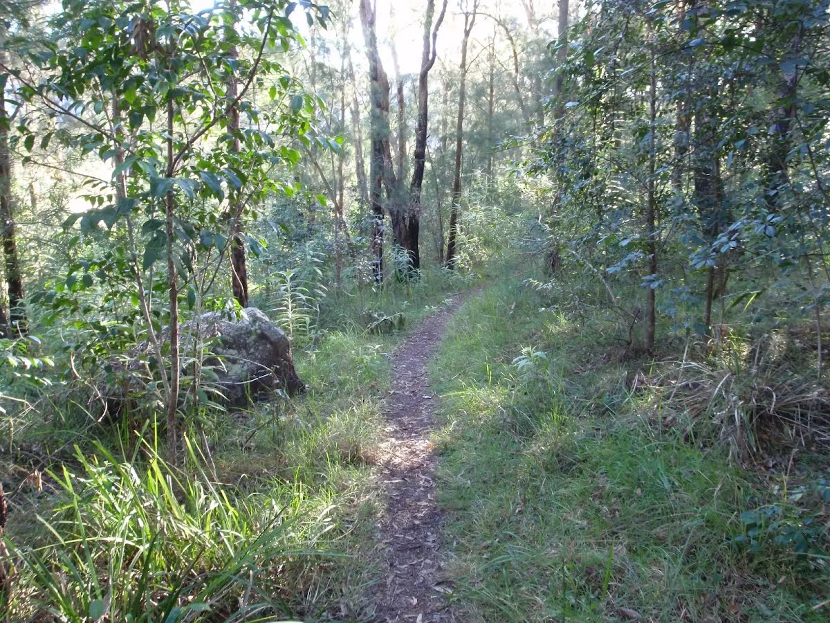
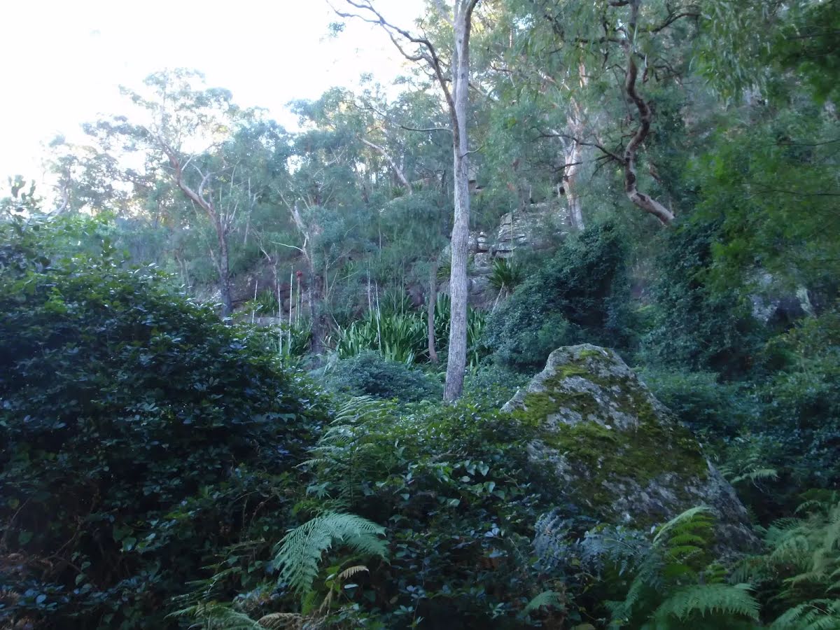
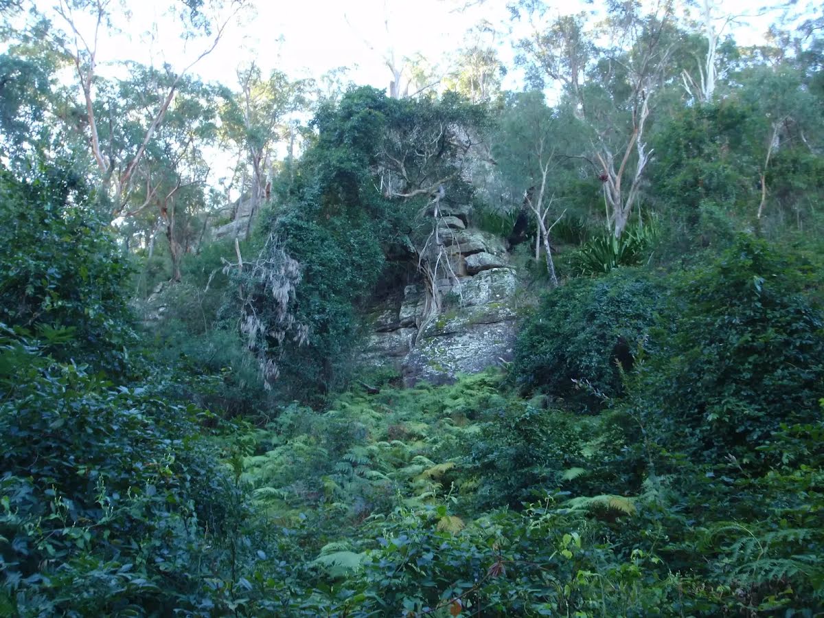
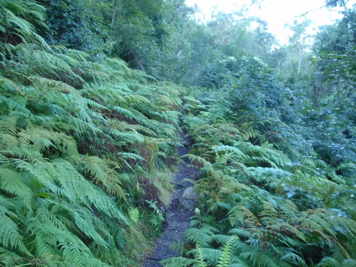
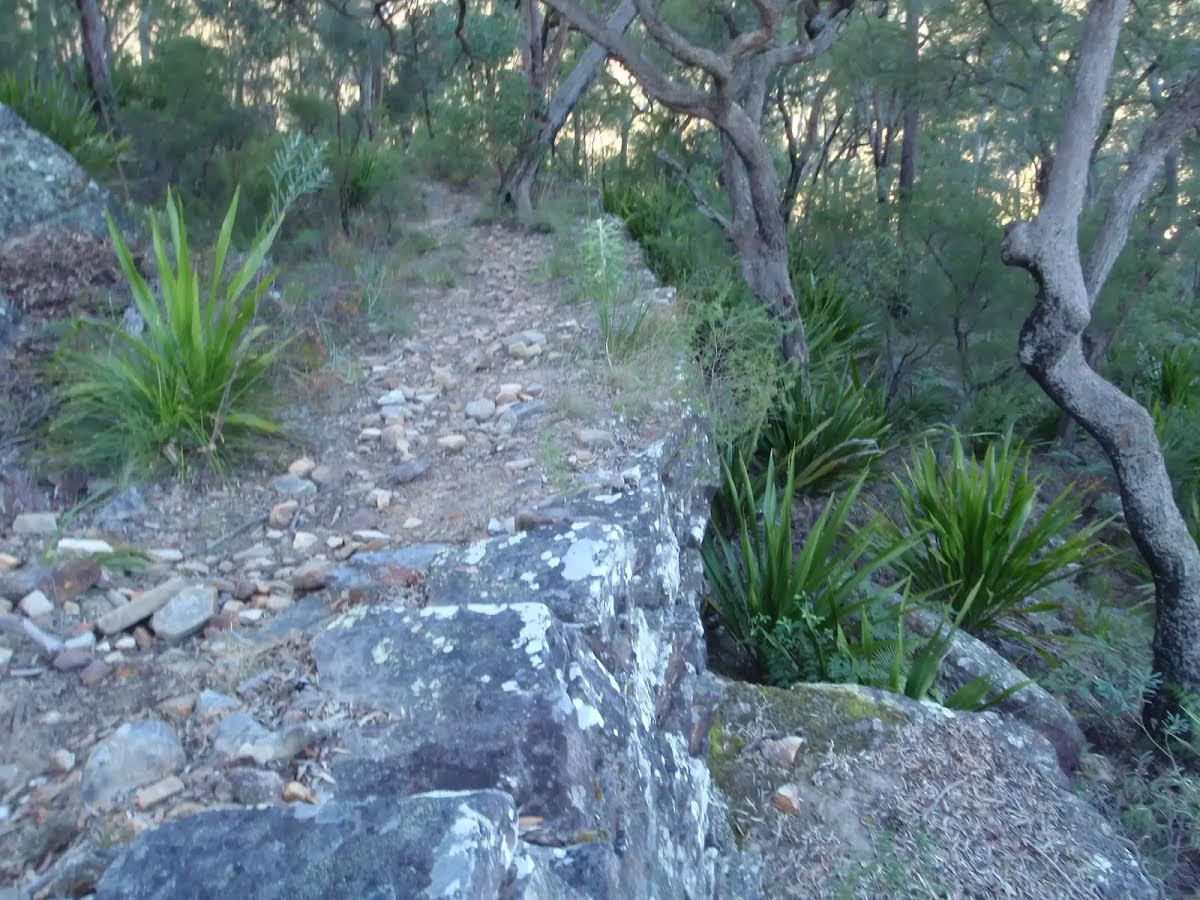
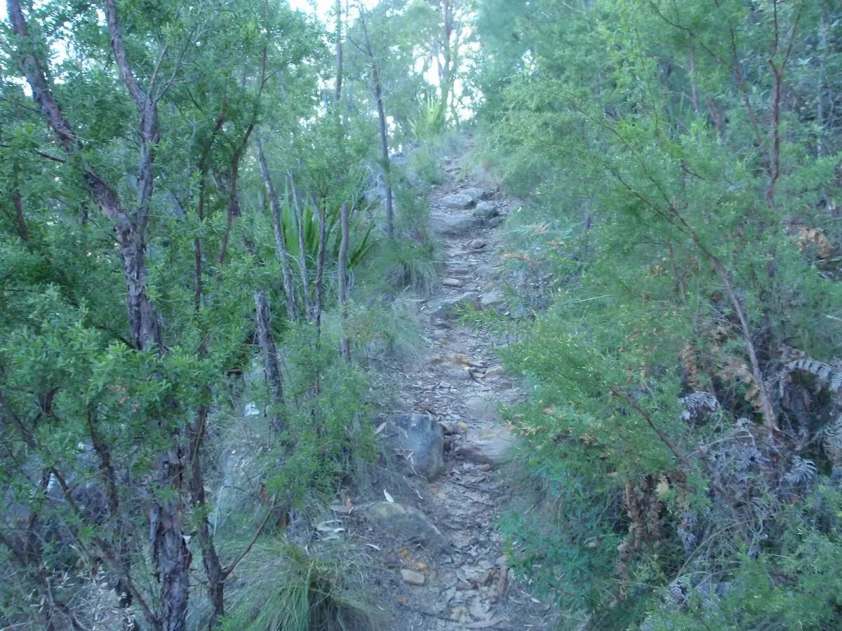
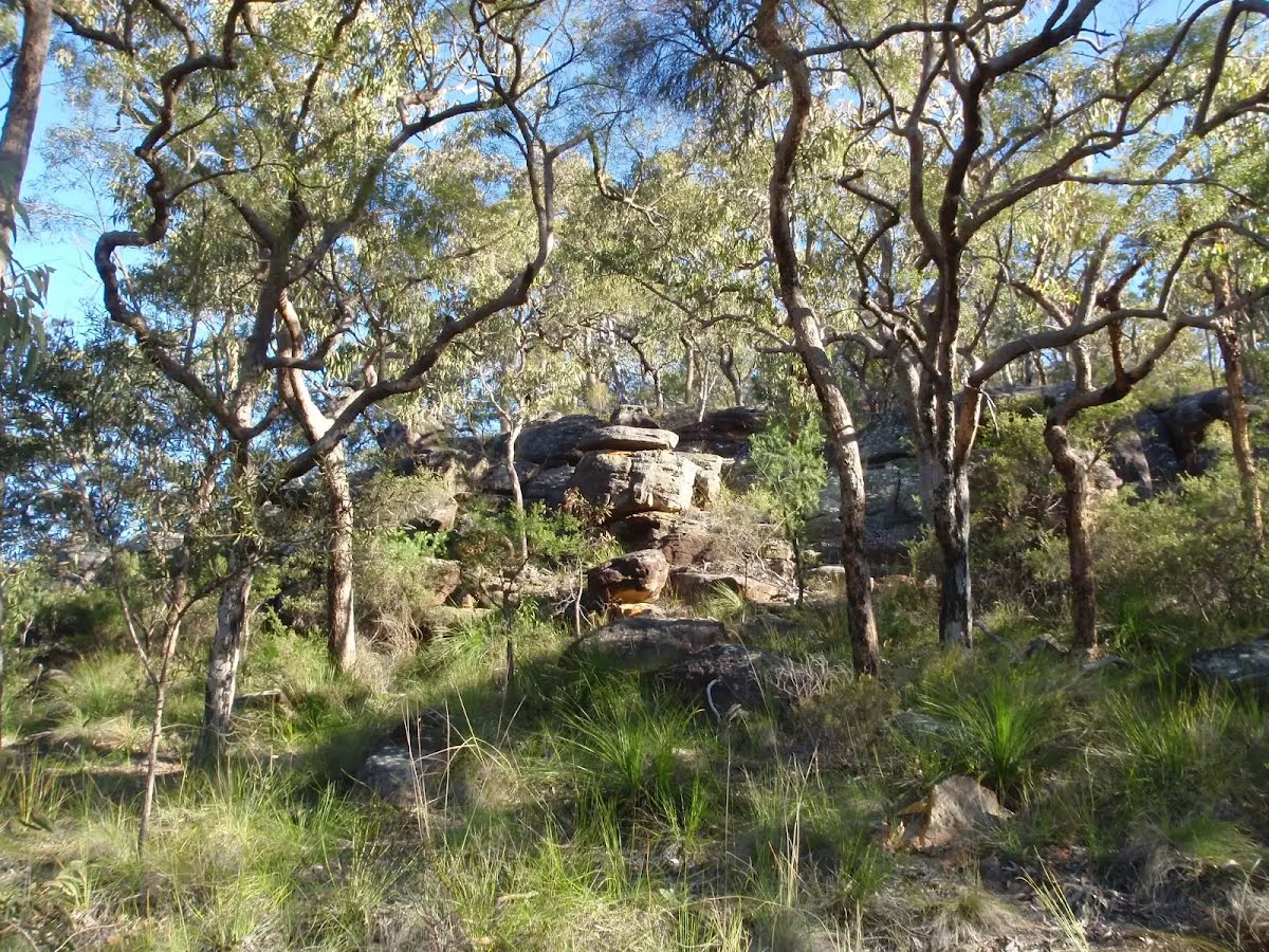
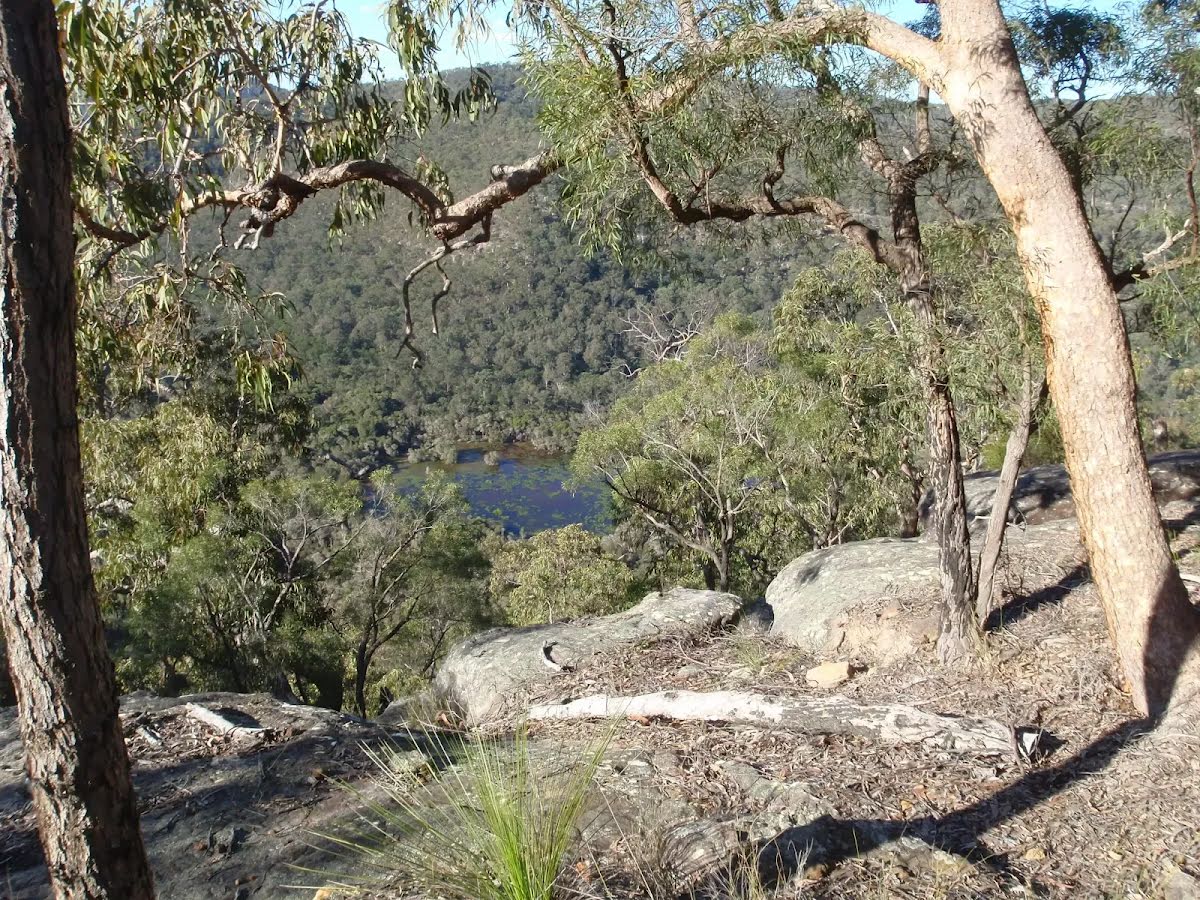
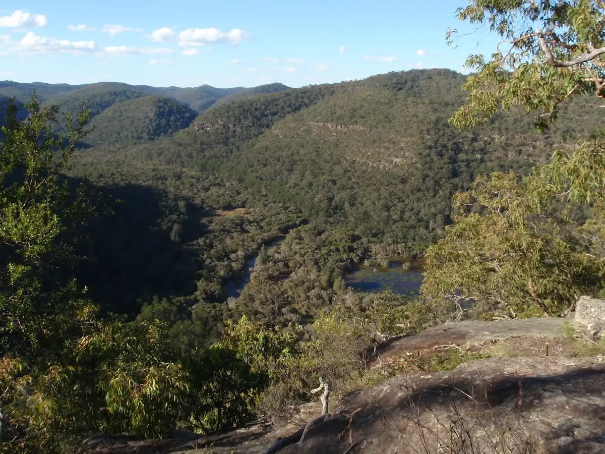
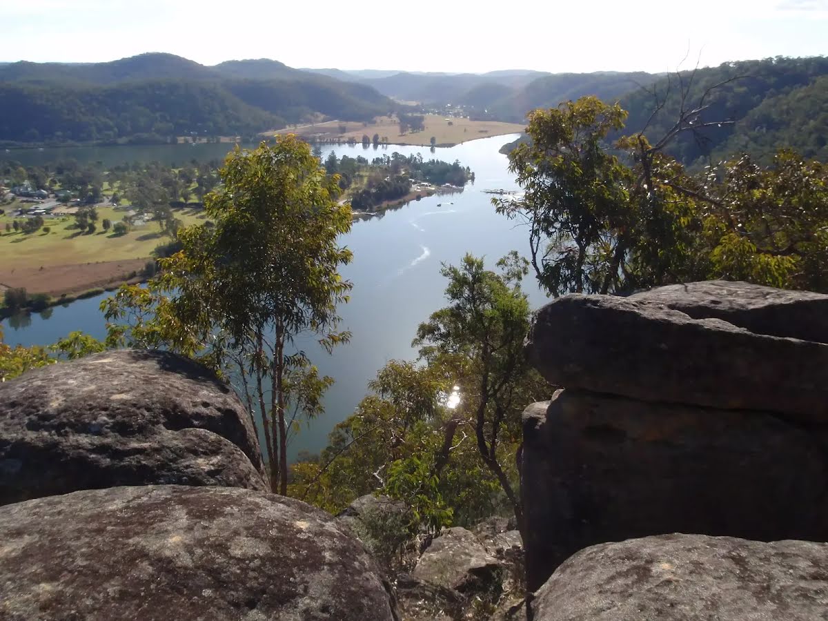
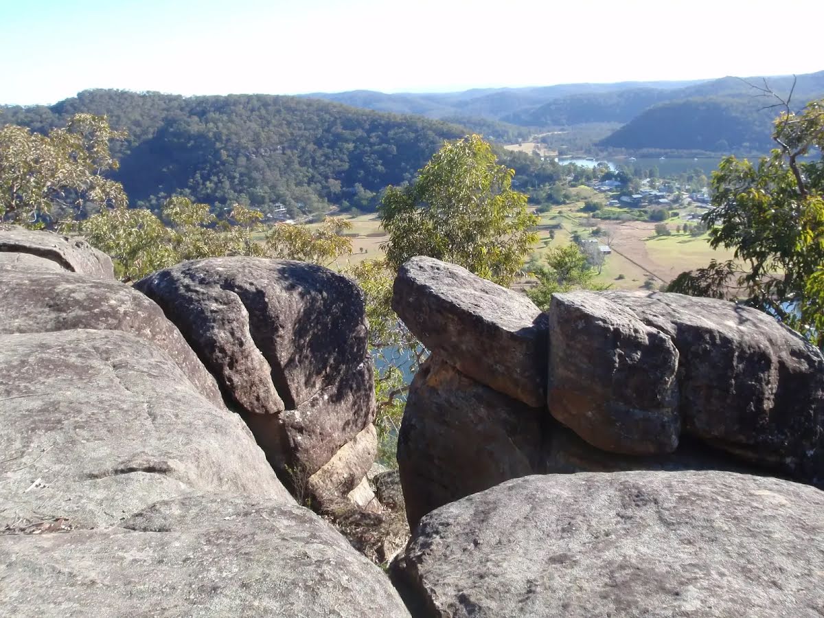
This pleasant walk follows part of the historic Finchs Line road, the original route for the Great North Road up the hills just north of Wisemans Ferry. The walk starts in moist, fern covered scenery and climbs to drier forest and some stunning views over the Hawkesbury river and Wisemans Ferry area from the unfenced Finchs Line viewpoint. There are other great views along the way too. Let us begin by acknowledging the Dharug people, Traditional Custodians of the land on which we travel today, and pay our respects to their Elders past and present. 
Show all
The track along Finchs Line. | Photo by admin, 2009.
Beautiful scenery along Finchs Line. | Photo by admin, 2009.
Rockface above the Finchs Line track. | Photo by admin, 2009.
Ferns surrounding Finchs Line road. | Photo by admin, 2009.
Old retaining wall on Finchs Line. | Photo by admin, 2009.
Climbing the Finchs Line track. | Photo by admin, 2009.
Nice boulder scenery. | Photo by admin, 2009.
Valley views from Finchs Line. | Photo by admin, 2009.
Views from Finchs Line. | Photo by admin, 2009.
Scenery along Finchs Line. | Photo by admin, 2009.
Views from Finchs Line over Wisemans Ferry. | Photo by admin, 2009.
Viewpoint on a rock outcrop along Finchs Line. | Photo by admin, 2009.
Downloads GPX PDF

+
-
Safer Bushwalks
Tips on staying safe on track
Before you start any bushwalk ensure you;
• Tell someone you trust where you are going and what to do if you are overdue
• Have adequate equipment, supplies, skills & knowledge for the whole journey
• Consider the impact of weather forecasts, park/track closures & fire dangers
• Can respond to emergencies & call for help at any point
• Are healthy and fit enough for this journey
If not, change plans and stay safe. It is okay to delay and ask people for help.
+
-
Getting There
Transport options and directions
Start (-33.3924095,150.9973863)
Mode Bus Car (There is free parking available.) Special (Wisemans Ferry Dialacar provides a taxi style mini-bus service based in Wisemans Ferry. The cost is typically about $1 per km (ex Wisemans Ferry). They will pick-up and drop-off from Sydney or the Central Coast and will happily drop walkers off or pick them up from tracks in the area. The cost for a pick-up from Gosford and drop off near Wisemans Ferry would be approximately $150 (please call for up-to-date pricing) and the minivan can carry up to 13 passengers. Phone: 0448 122 374)
DirectionsFrom Pacific Motorway, M1
  • Turn on to Peats Ridge Road Offramp then drive for 3.8 km
  • Keep left onto Cooks Road and drive for another 2.8 km
  • Keep left and drive for another 1.4 km
  • Keep right and drive for another 410 m
  • Turn sharp left onto Popran Road and drive for another 6.4 km
  • Turn left onto Wisemans Ferry Road and drive for another 31.6 km
+
-
Track Notes
Turn by turn instructions & maps
Getting started
From the signposted track head, marked as 'Finchs Line Walking Track', beside Wisemans Ferry Rd (about 1.8 km east of the car ferry), the walk follows the bush track, going up the hill. There is an information sign after a short distance and the track starts to climb, increasingly steeply, as it zigzags up a steep hill, along the path of Finchs Line Road. There are some beautiful views away from the track and a lot of ferns, grasstrees and vines surrounding the track. After winding up the hill for quite a while the walk arrives at an intersection with a management trail, marked with a sign indicating bikes must be walked (when going back down the hill).....
Turn map Directions & comments
Start heading along Wisemans Ferry Road.
After another 30 m (at the intersection of Wisemans Ferry Road & Finchs Line) continue straight, to head along Finchs Line (a walking track).
After another 10 m pass the car park (10 m on your left).
After another 1.5 km come to the viewpoint.
Continue another 640 m to find the end. Then turn around here and retrace the main route for 2.2 km to get back to the start.
About 20 m past the end is "Finchs Line viewpoint".
Finchs Line viewpoint

This informal, unfenced (and unnamed) lookout is on the trail along the historic Finchs Line Rd near Wisemans Ferry, NSW. The viewpoint sits on a beautiful outcrop of boulders and provides stunning views down across the Hawkesbury river and Wisemans Ferry township.
+
-
This informal, unfenced (and unnamed) lookout is on the trail along the historic Finchs Line Rd near Wisemans Ferry, NSW. The viewpoint sits on a beautiful outcrop of boulders and provides stunning views down across the Hawkesbury river and Wisemans Ferry township.

+
-
Terrain
Know the Hills, grading & facilities

Finchs Line Viewpoint


Grading
Class 3/6
Moderate track
Length 4.4 km
Time 2 h to 2 h 15 min
Quality of track Formed track, with some branches and other obstacles (3/6)
Gradient Short steep hills (3/6)
Signage Directional signs along the way (3/6)
Infrastructure Limited facilities, not all cliffs are fenced (3/6)
Experience Required Some bushwalking experience recommended (3/6)
Weather Weather generally has little impact on safety (1/6)
+
-
Articles
Discover more details to thrive on track
Get more information
Wildwalks
+
-
Reviews & Feedback
Share your experience
+
-
Weather & Alerts
Check forecasts & closures
Show Full Weather
Alerts and Closures
Show all alerts
Show all alerts
Show all alerts
+
-
Other Journeys
Discover nearby and similar journeys
Some of the information and maps on this page was generated using data from the awesome © OpenStreetMap contributors.
Please see how you can embed some widgets, access data and other stuff to that might be helpful.