


| Start | (-33.5504173,151.2745435) |
| Mode | Bus Car (There is free parking available.) Ferry Special (There is no regular ferry service between Patonga and Brooklyn any more. You can easily grab a water taxi (about $80+). If you are part of a large group they can also organise a larger boat carrying 35 passengers (about $16 pp). Phone 0410 554 777 to book. Enjoy the boat ride.) |
| Directions | From Pacific Motorway, M1
|
| Finish | (-33.4921022,151.2569892) |
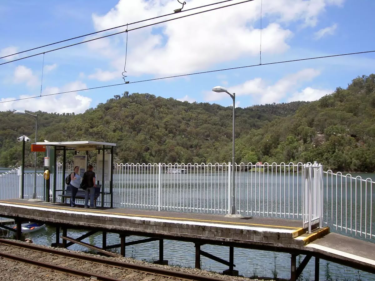
| Mode (end) | Train |
| Turn map | Directions & comments |
|---|---|
 |
|
 |
|
 |
|
 |
|
 |
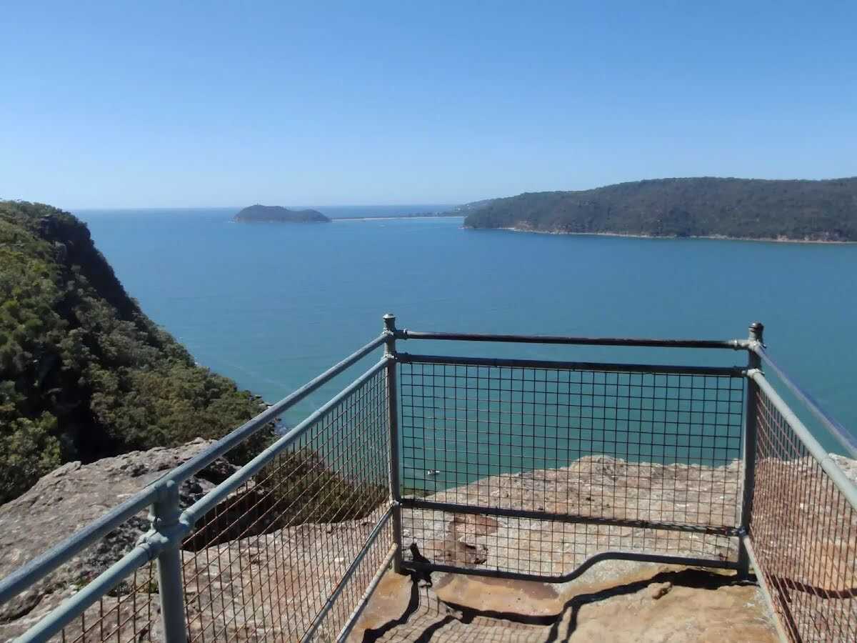
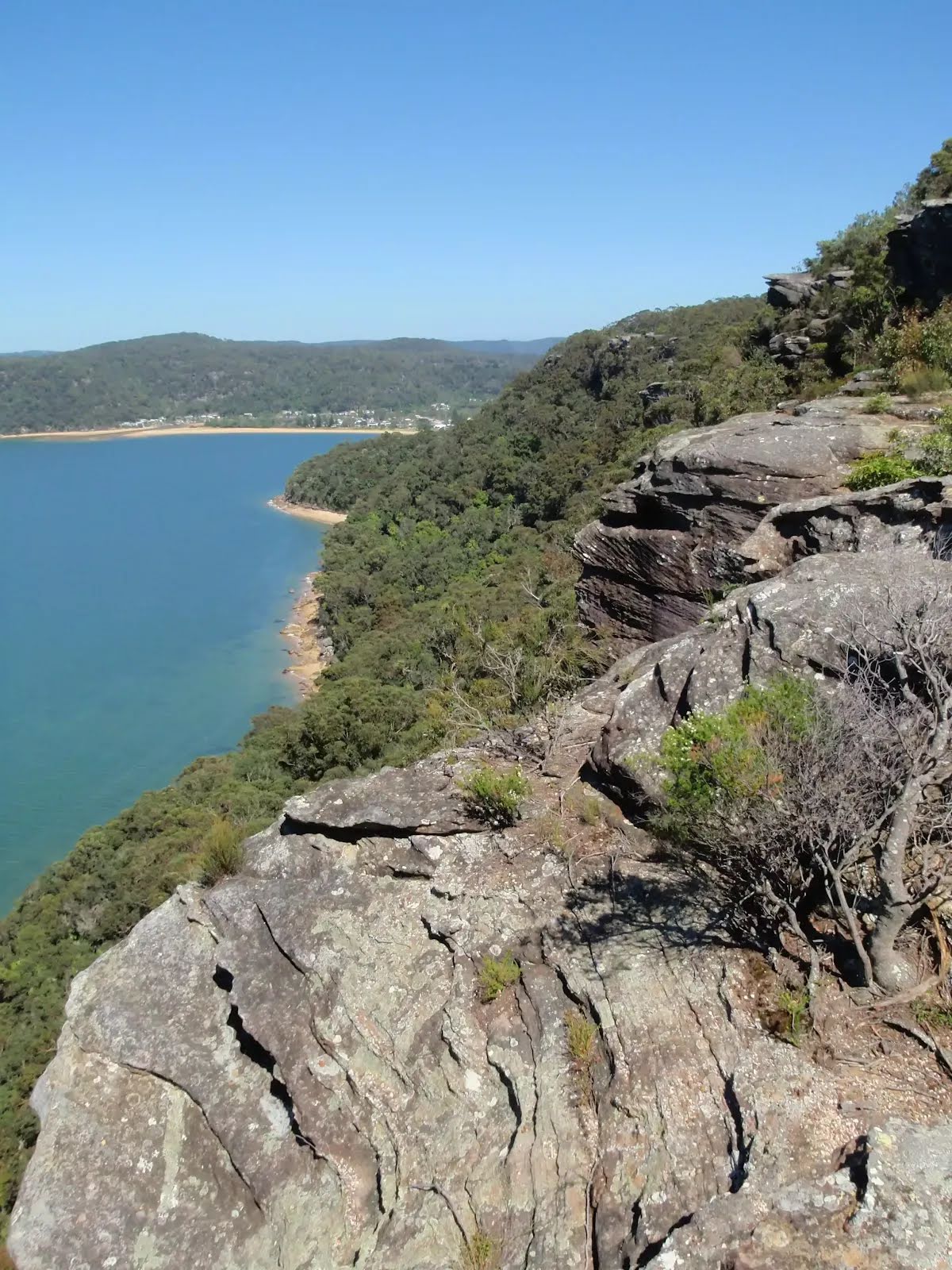
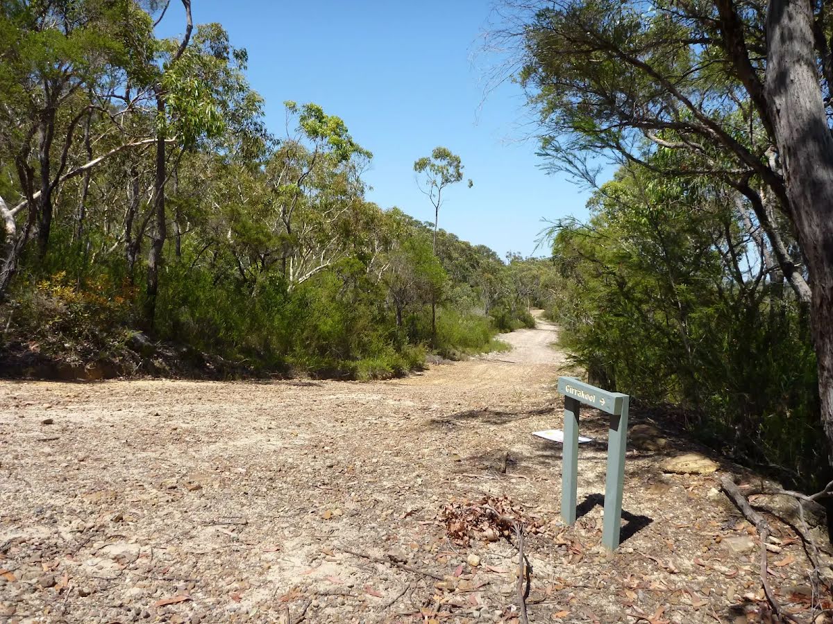
The starting point of an optional sidetrip. An optional side trip to Warrah Lookout. To start this optional side trip turn right here. On returning from this side trip veer right when you get back to this intersection. Details below.
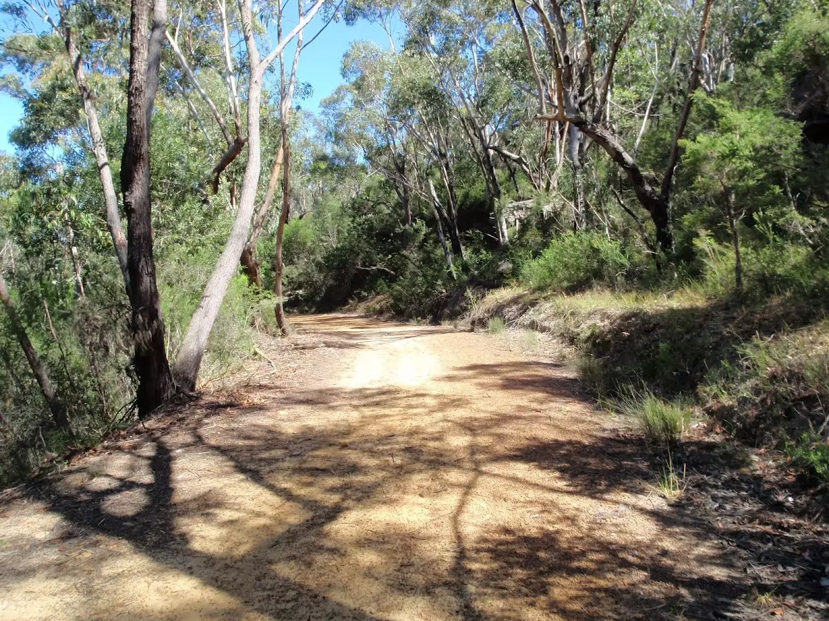
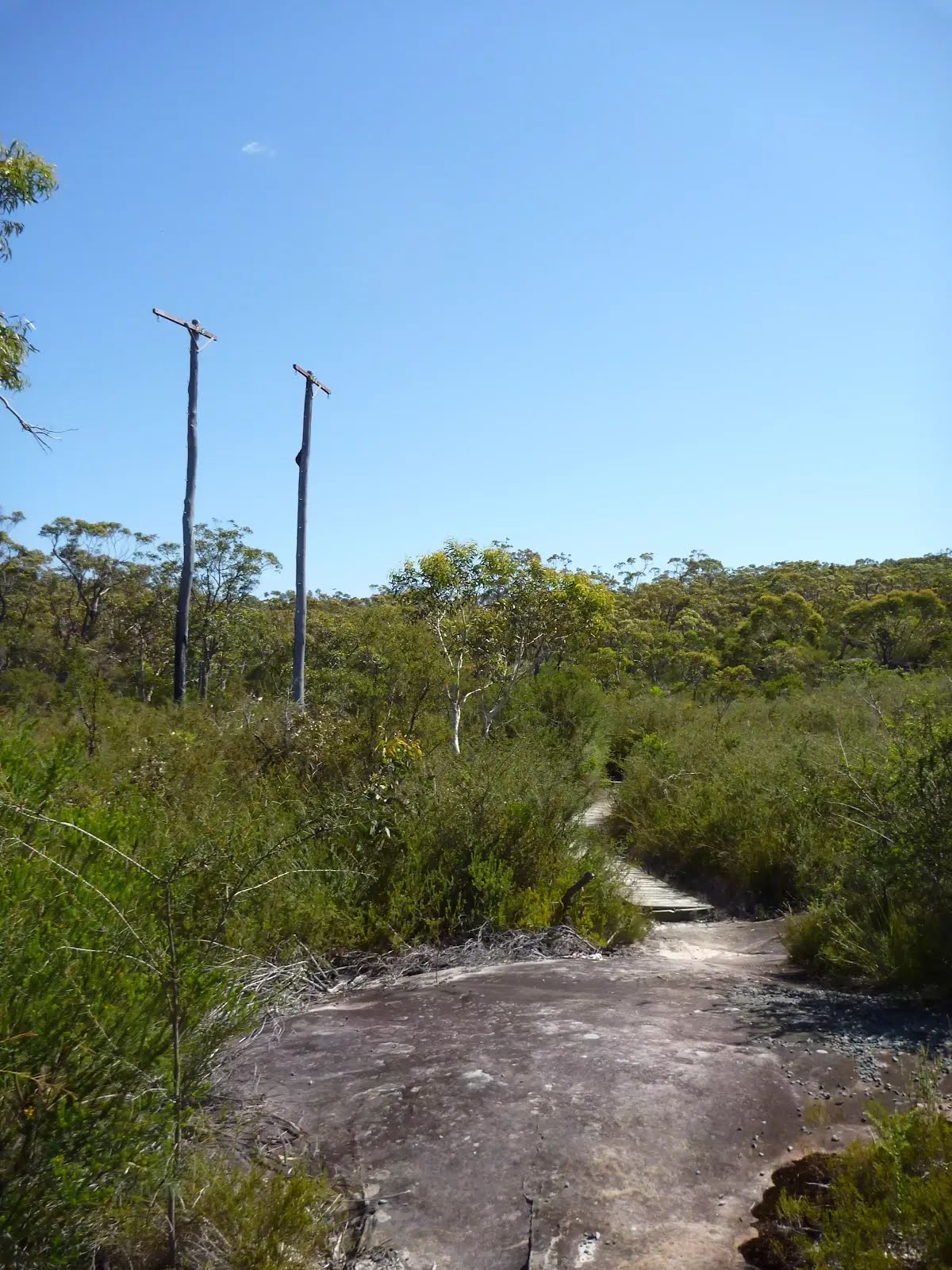
After another 350 m (at the intersection of Pearl Beach Patonga Firetrail & Tony Doyle Track) turn left, to head along Tony Doyle Track (a footpath).
|
 |
|
 |
|
 |
|
 |
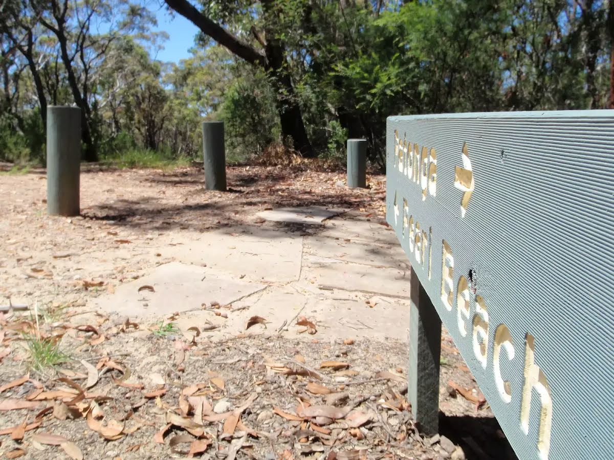
The starting point of an optional sidetrip. An optional side trip to Rest Area. To start this optional side trip turn left here. On returning from this side trip turn sharp right when you get back to this intersection. Details below.
|
 |
|
 |
|
 |
|
 |
|
 |
The starting point of an optional sidetrip. An optional side trip to Van Dahls rest area. To start this optional side trip turn left here. On returning from this side trip error >360 when you get back to this intersection. Details below.
|
 |
|
 |
|
 |
|
 |
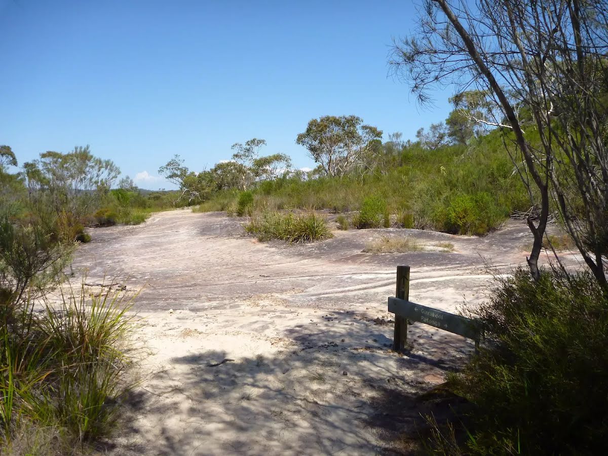
After another 470 m (at the intersection of Tunnel Trail & Mount Wondabyne Trig Firetrail) turn left, to head along Mount Wondabyne Trig Firetrail.
|
 |
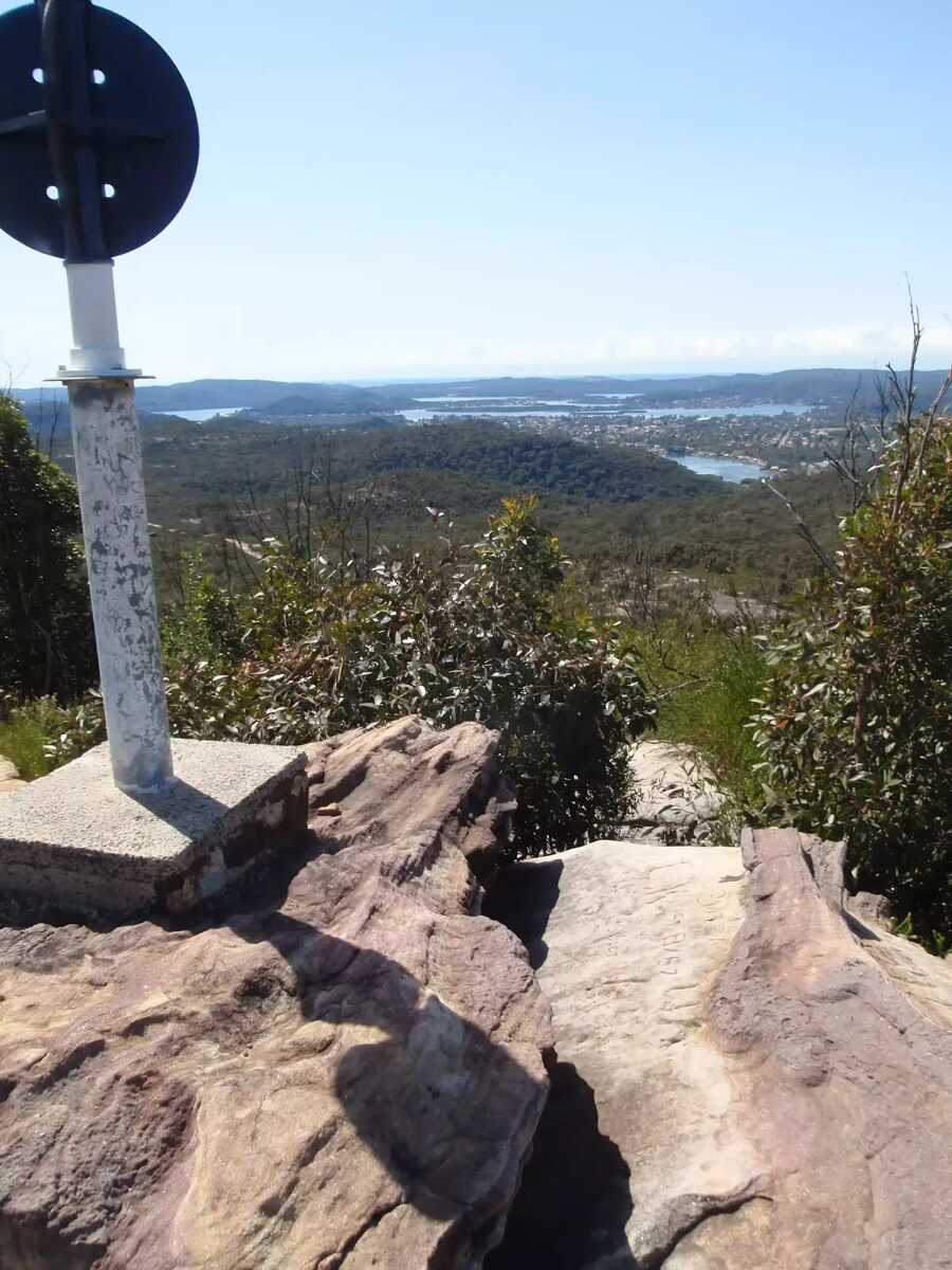
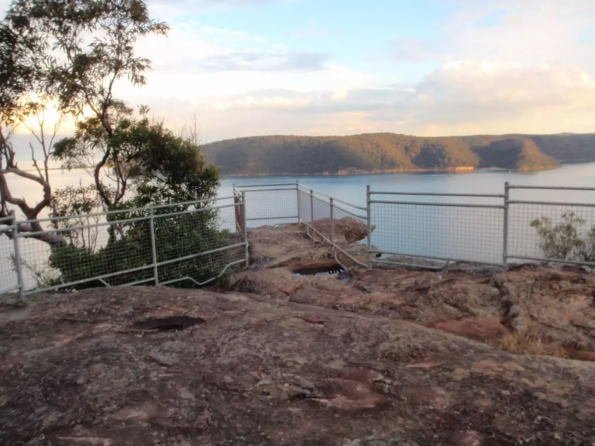
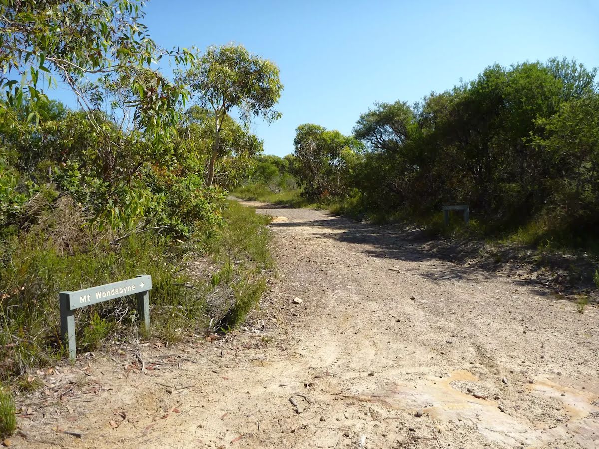
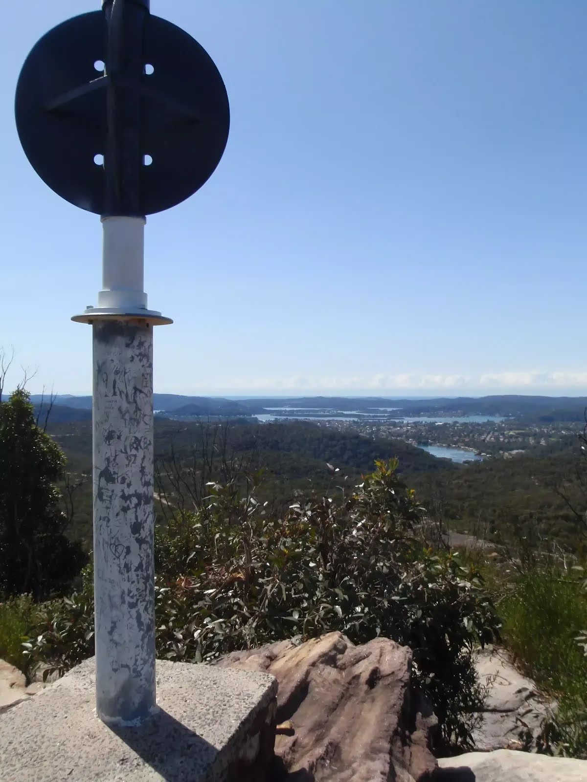
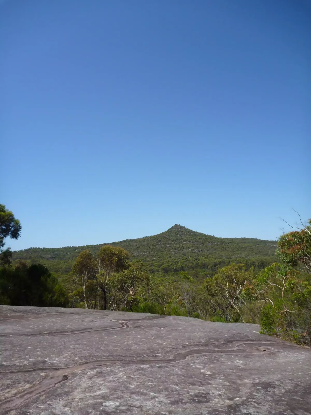
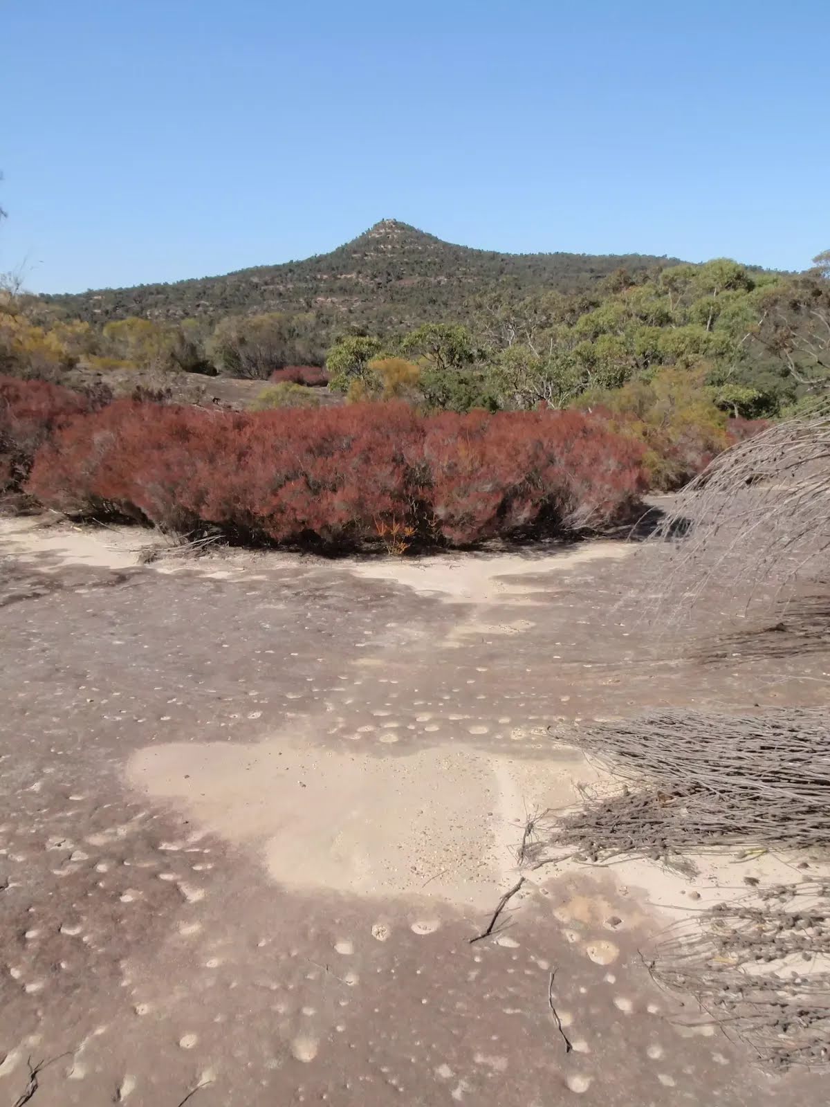
The starting point of an optional sidetrip. An optional side trip to Mt Wondabyne Peak. To start this optional side trip turn right here. On returning from this side trip turn right when you get back to this intersection. Details below.
|
 |
|
 |
|
 |
|
 |
|
 |
|
 |
|
 |
|
| Turn map | Directions & comments |
|---|---|
 |
|
 |

|
|
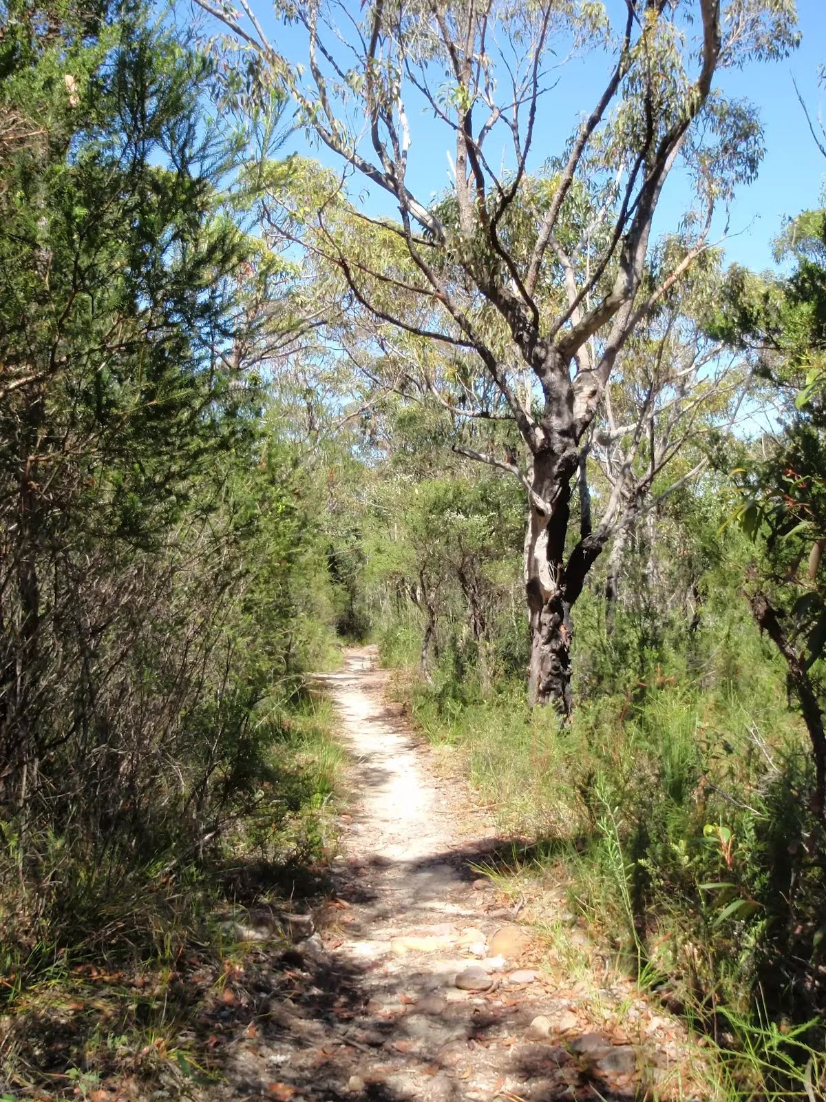
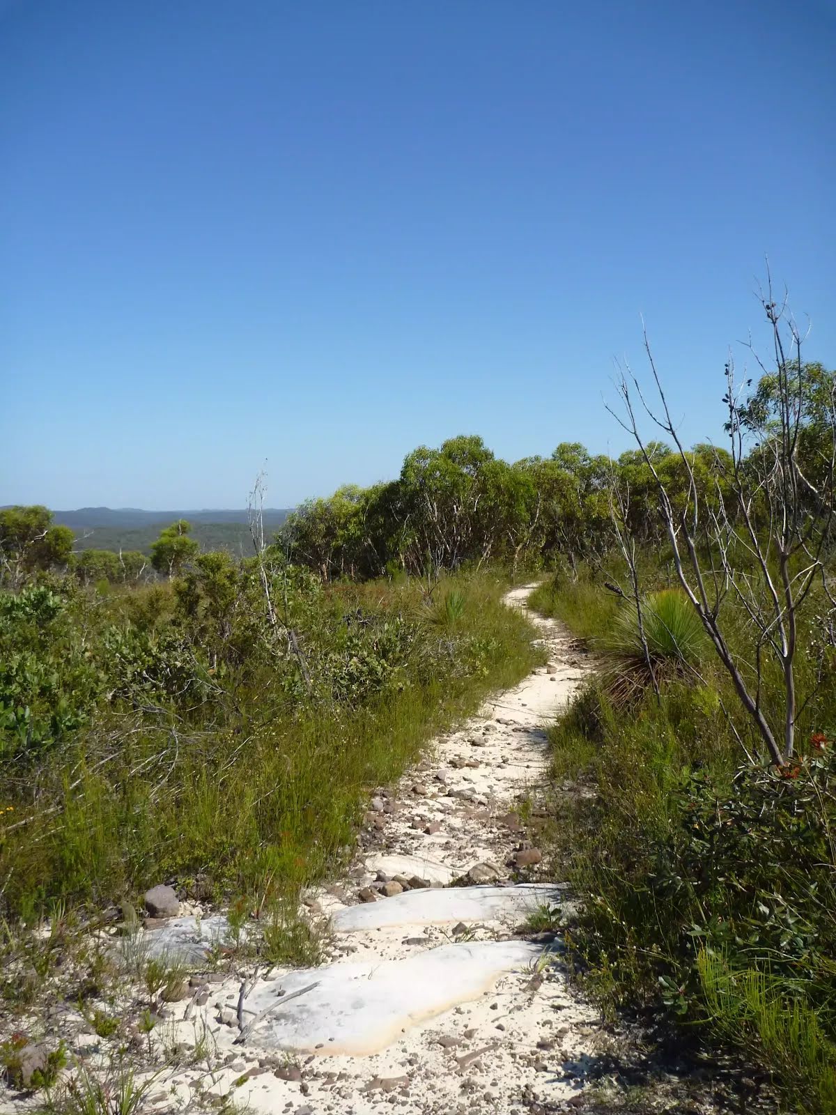
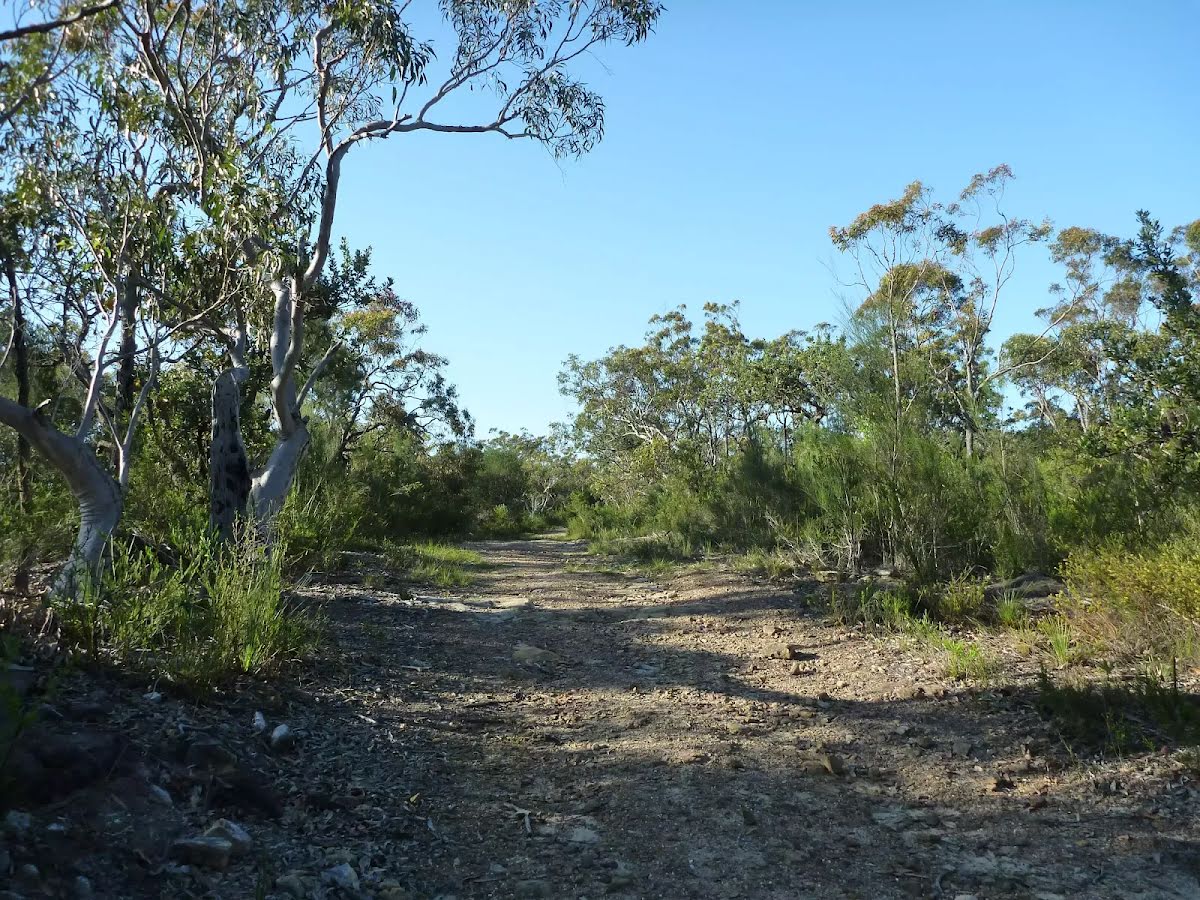
Class 4/6 Hard track |
|---|---|
| Length | 19.2 km |
| Time | 7 h to 7 h 30 min |
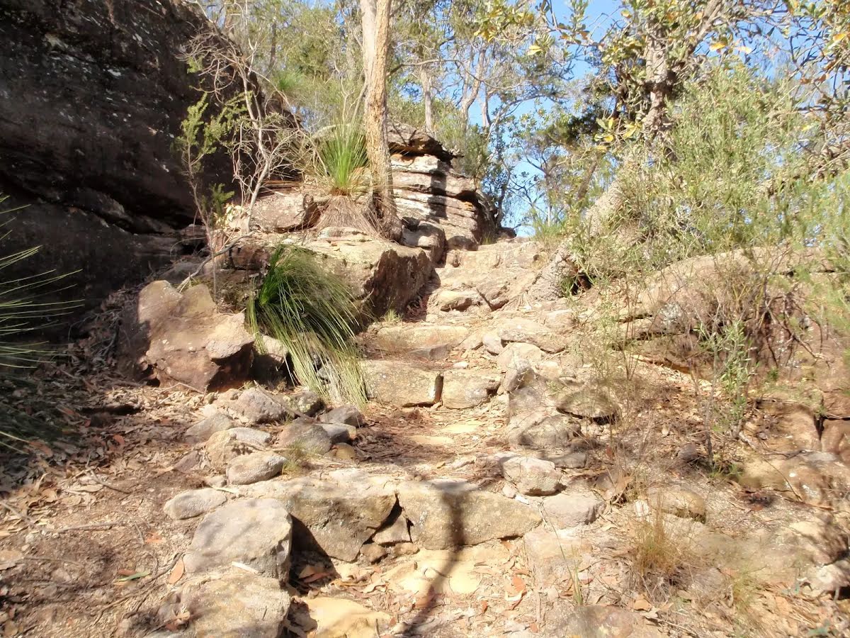
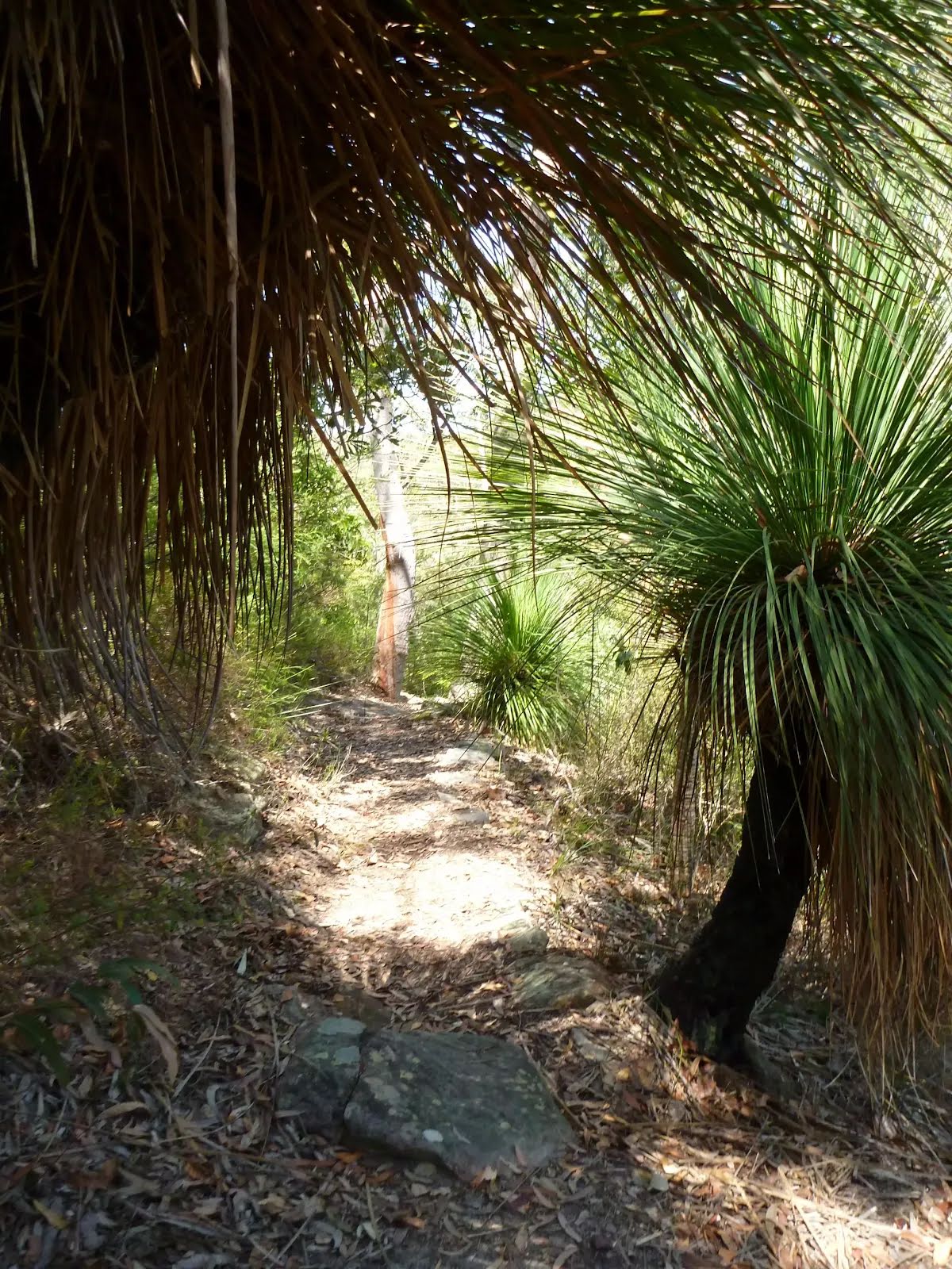
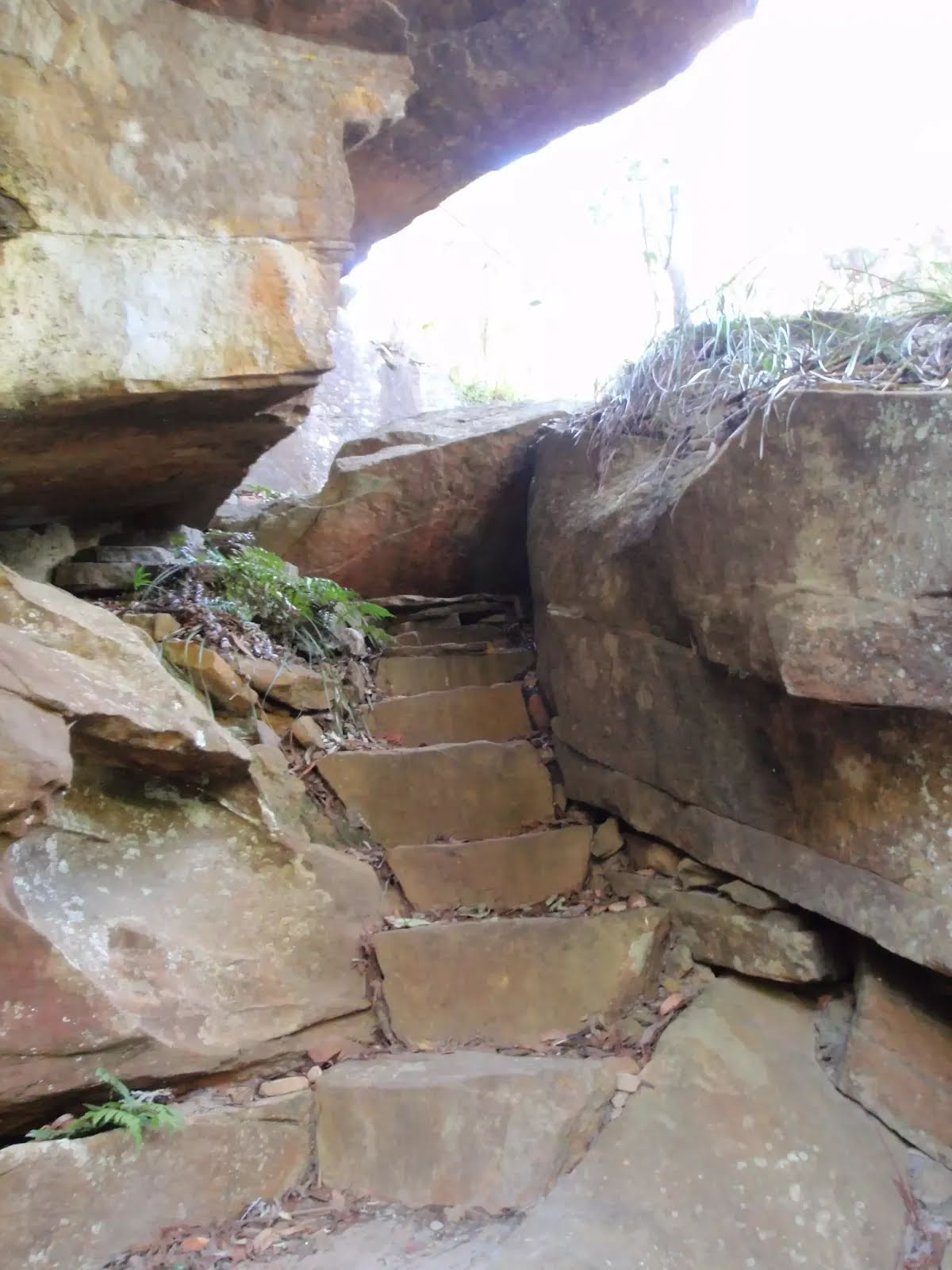
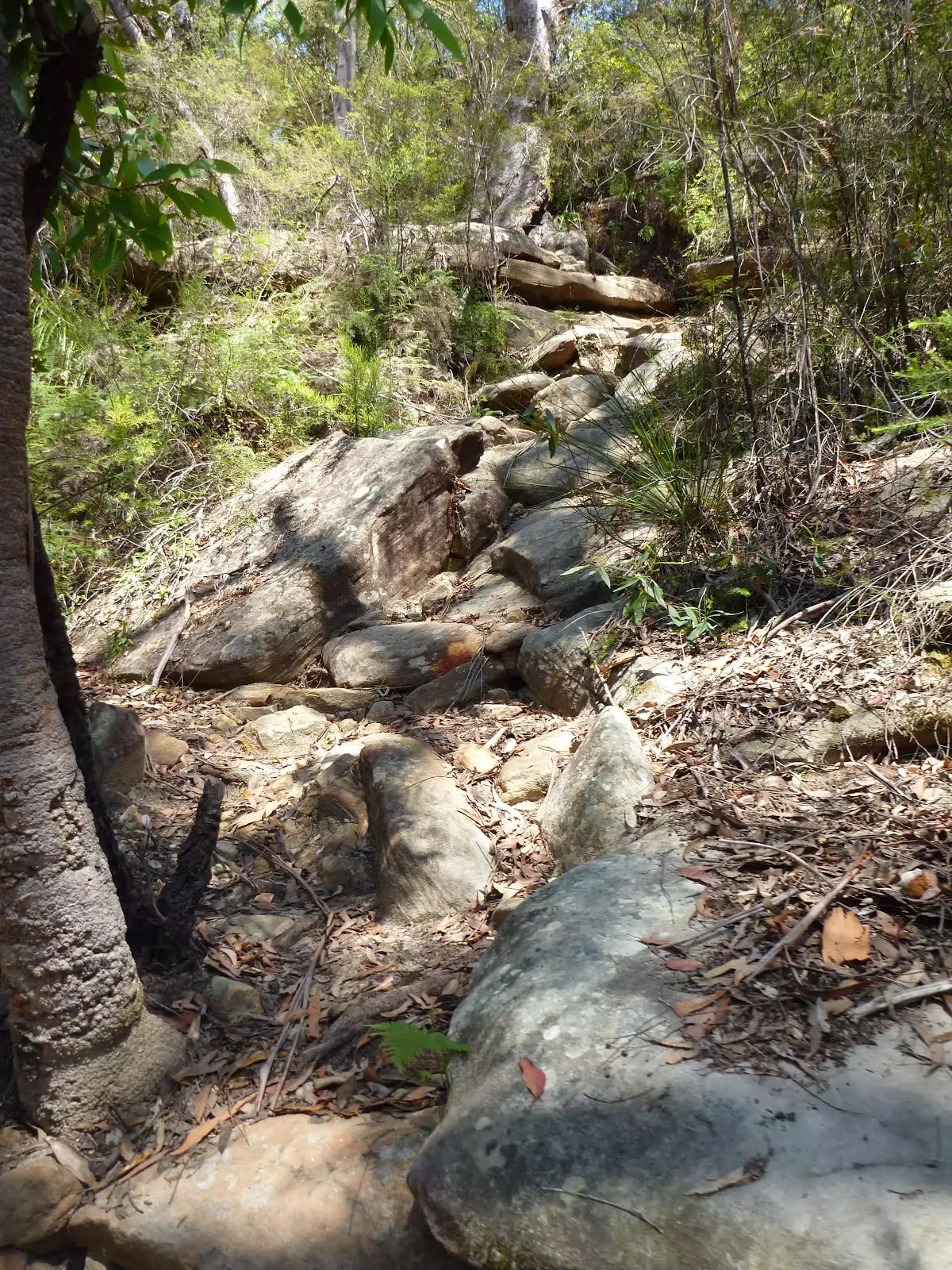
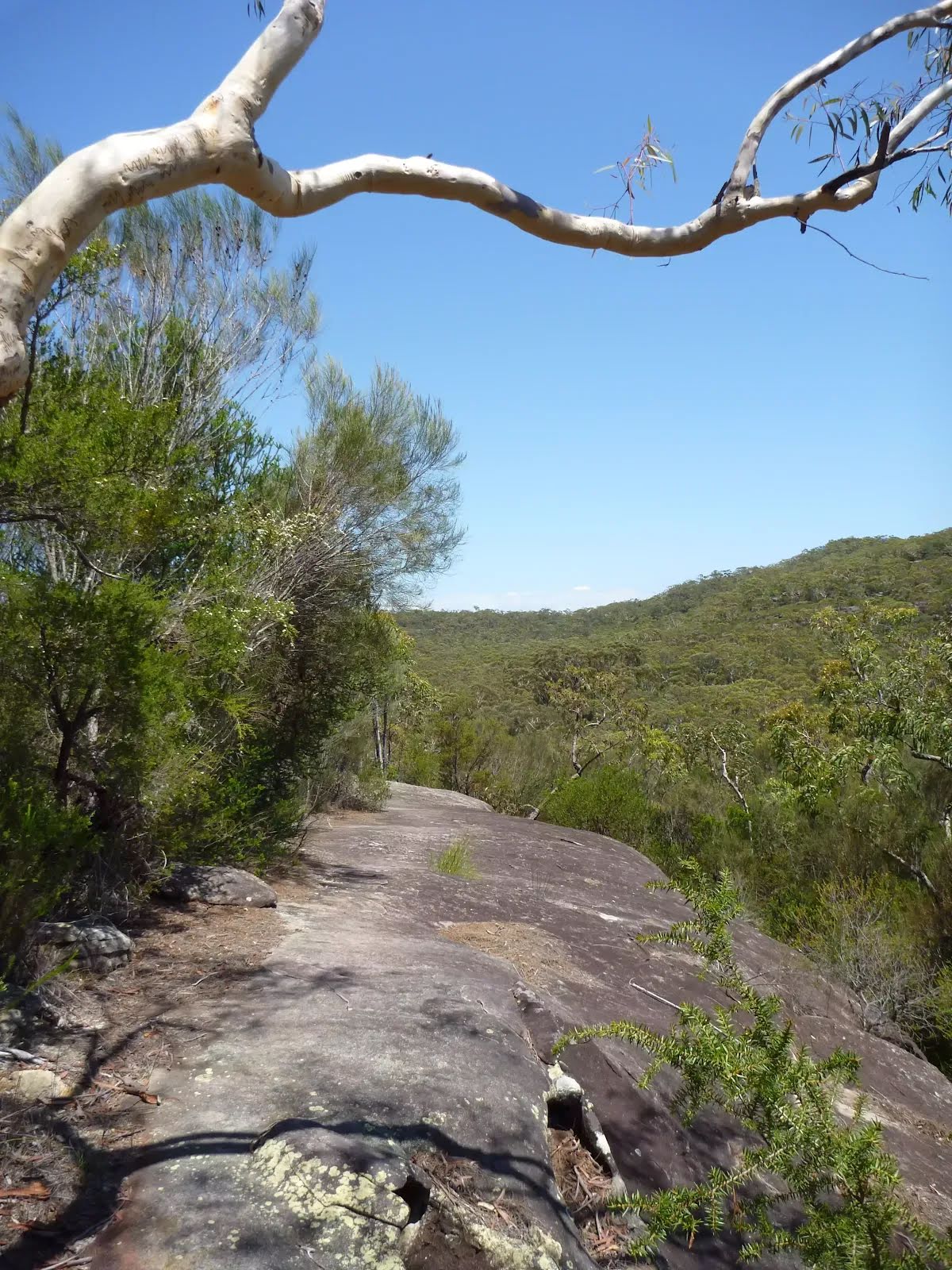
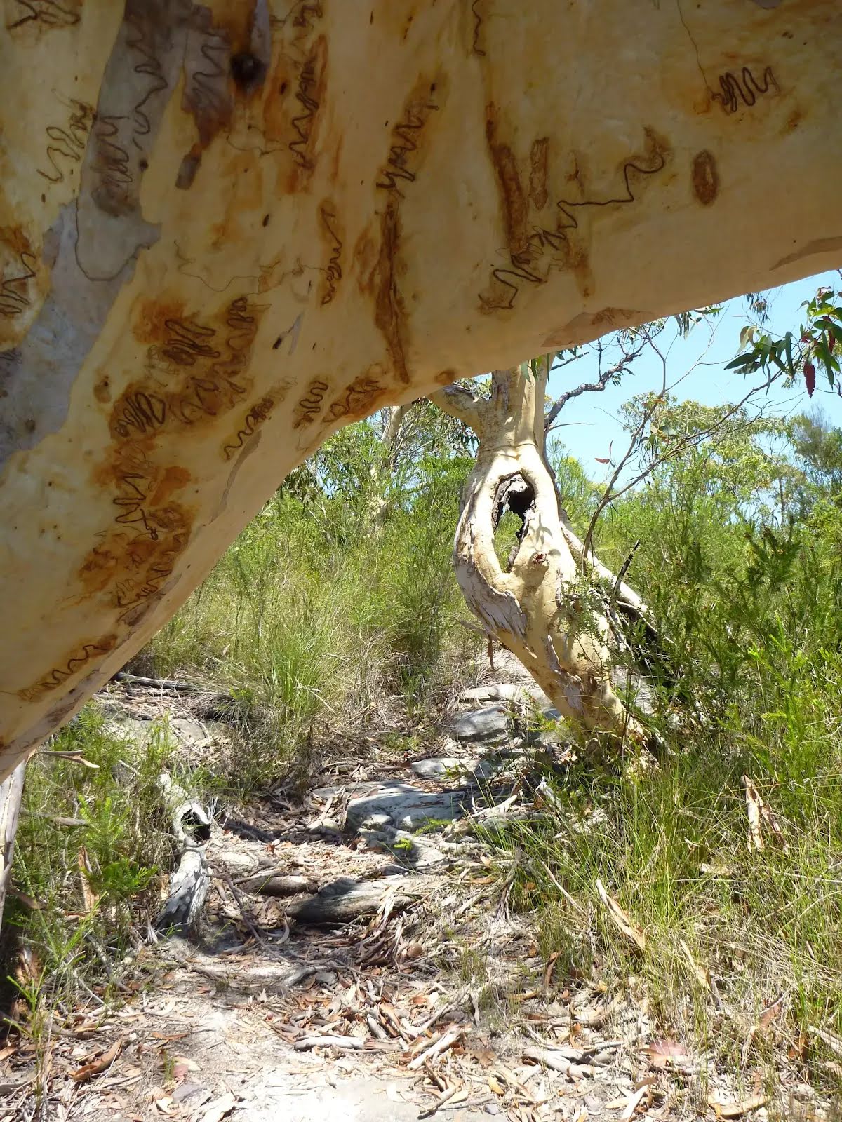
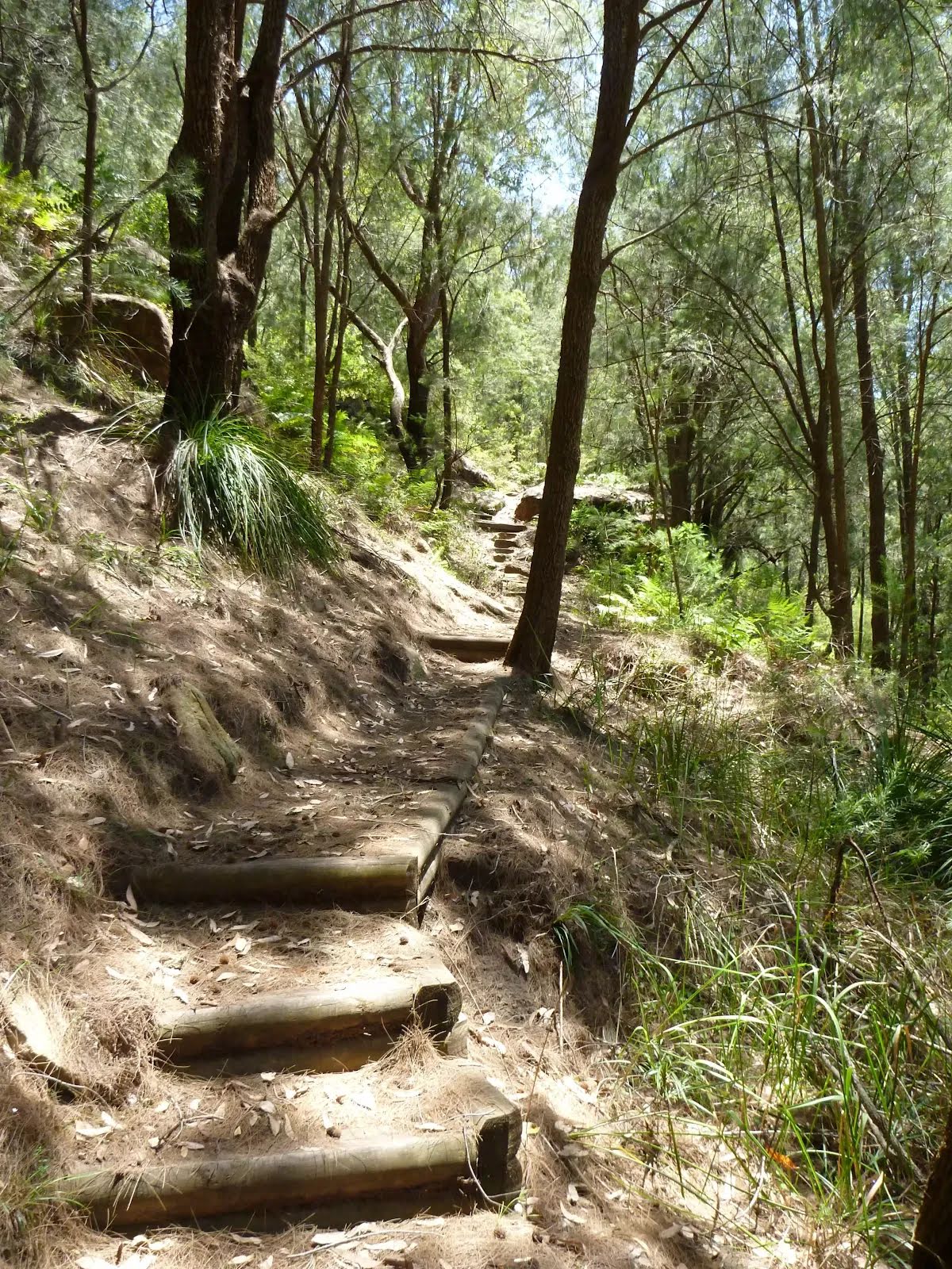
| Quality of track | Rough track, where fallen trees and other obstacles are likely (4/6) |
| Gradient | Very steep (4/6) |
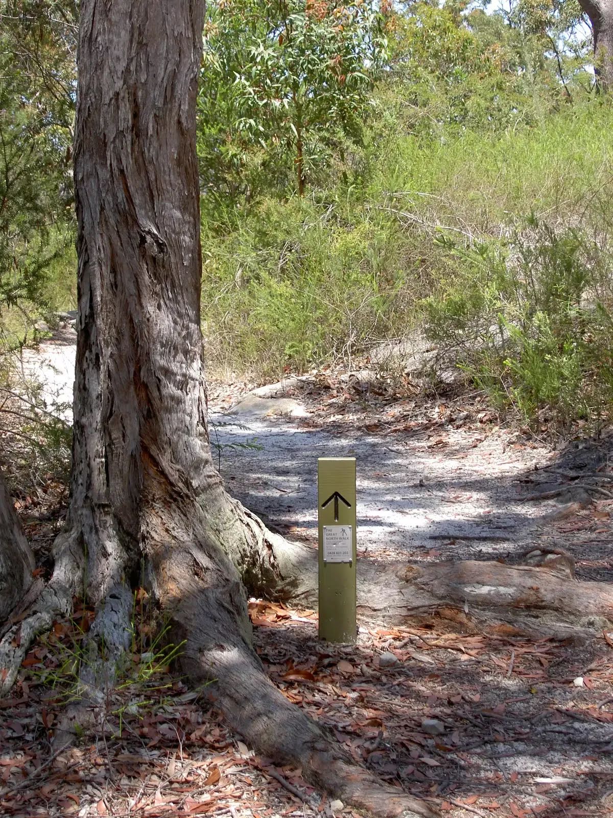
| Signage | Minimal directional signs (4/6) |
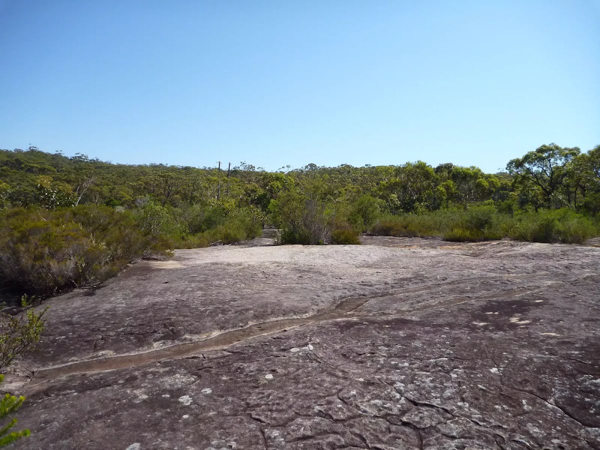
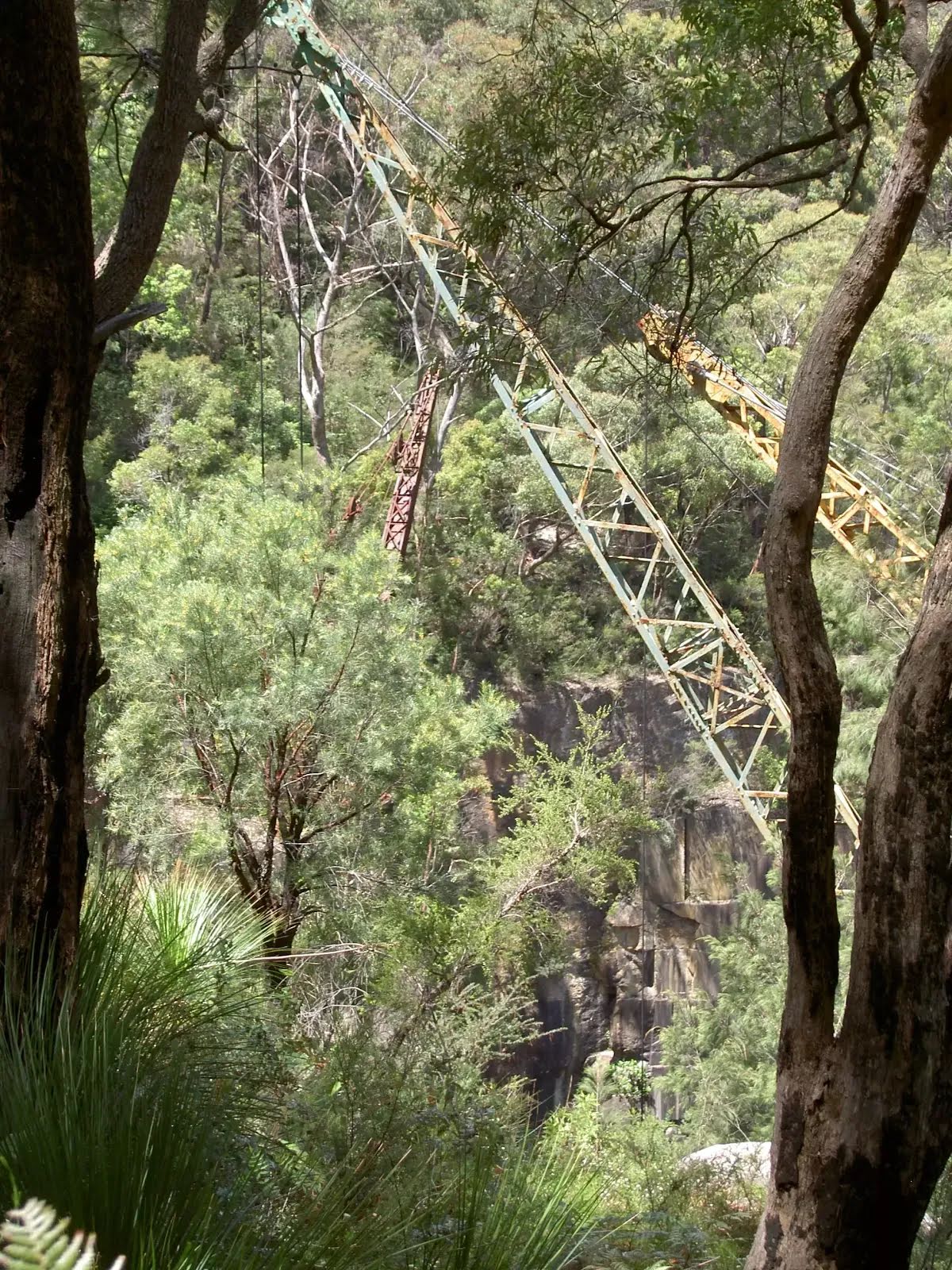
| Infrastructure | Limited facilities (such as cliffs not fenced, significant creeks not bridged) (4/6) |
| Experience Required | Some bushwalking experience recommended (3/6) |
| Weather | Storms may impact on navigation and safety (3/6) |
| Item | From Start | Name & link to notes |
|---|---|---|
Shelter
| 95 m | [shelter] |
Toilet
| 125 m | [toilet] |
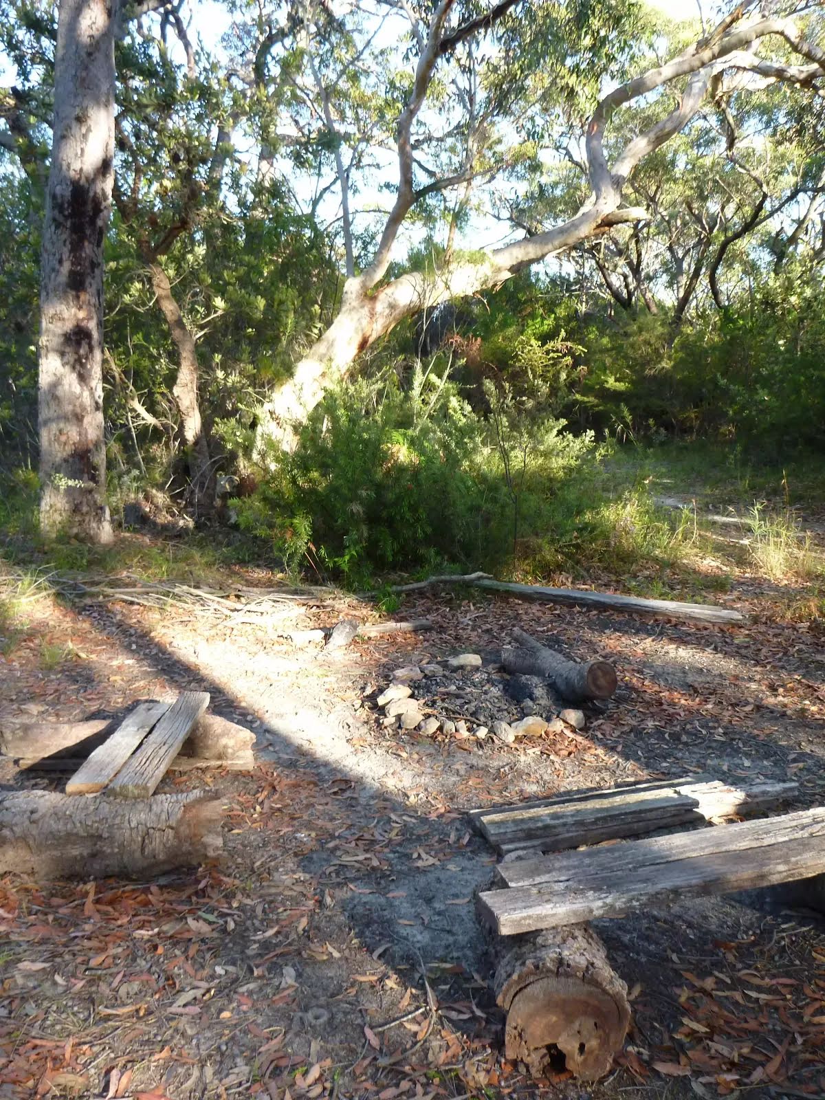
Campsite
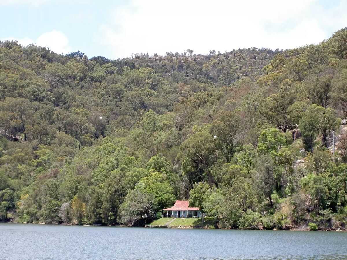
| 3.7 km + 380 m | Patonga rest area |
Campsite
| 6.3 km + 170 m | Van Dahls rest area |
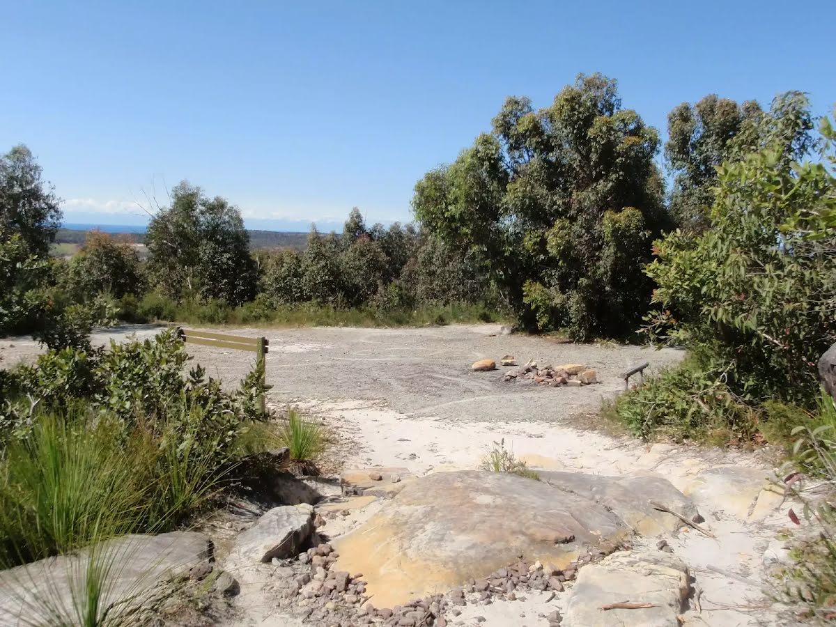
Campsite
| 11 km | Mt Wondabyne Campsite |
Camp site
| 11.1 km | Mt Wondabyne Campsite |