| Turn map |
Directions & comments |
|
|

Start.

After another 7 m continue straight.
|
|
|
After another 60 m continue straight.

After another 20 m pass the "Pure Brew" (on your right).
After another 40 m pass the "Pottery Green Bakers" (25 m on your left).
|
|
|
Continue straight.
After another 110 m pass the "Mehfil Indian Restaurant" (25 m on your left).
|
|
|

Turn left.
|
|
|
After another 8 m continue straight.
|
|
|
After another 20 m (at the intersection of Pacific Highway & Moree Street) turn left, to head along Moree Street (a residential road).
|
|
|
After another 40 m continue straight, to head along Moree Street.
|
|
|
After another 25 m continue straight, to head along Moree Street.
After another 15 m pass the "Little Gem" (on your right).
After another 230 m (at the intersection of Moree Street & Hanson Way) continue straight, to head along Moree Street.
|
|
|
After another 190 m (at the intersection of Moree Street & St Johns Walk) continue straight, to head along Moree Street.
|
|
|

After another 155 m (at the intersection of Vale Street & Moree Street) turn right, to head along Vale Street.
|
|
|
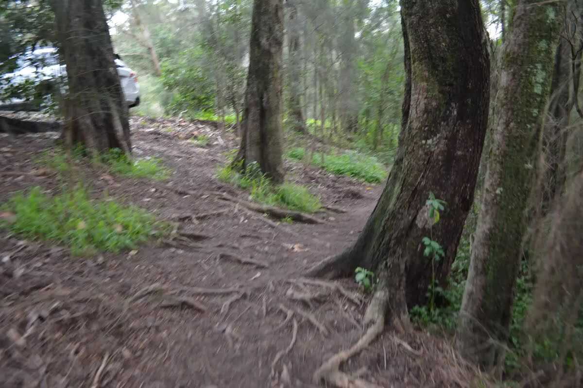
After another 85 m (at the intersection of Vale Street & Blackbutt Creek Track) turn left, to head along Blackbutt Creek Track (a vehicle track).
|
|
|
After another 25 m continue straight, to head along Blackbutt Creek Track.

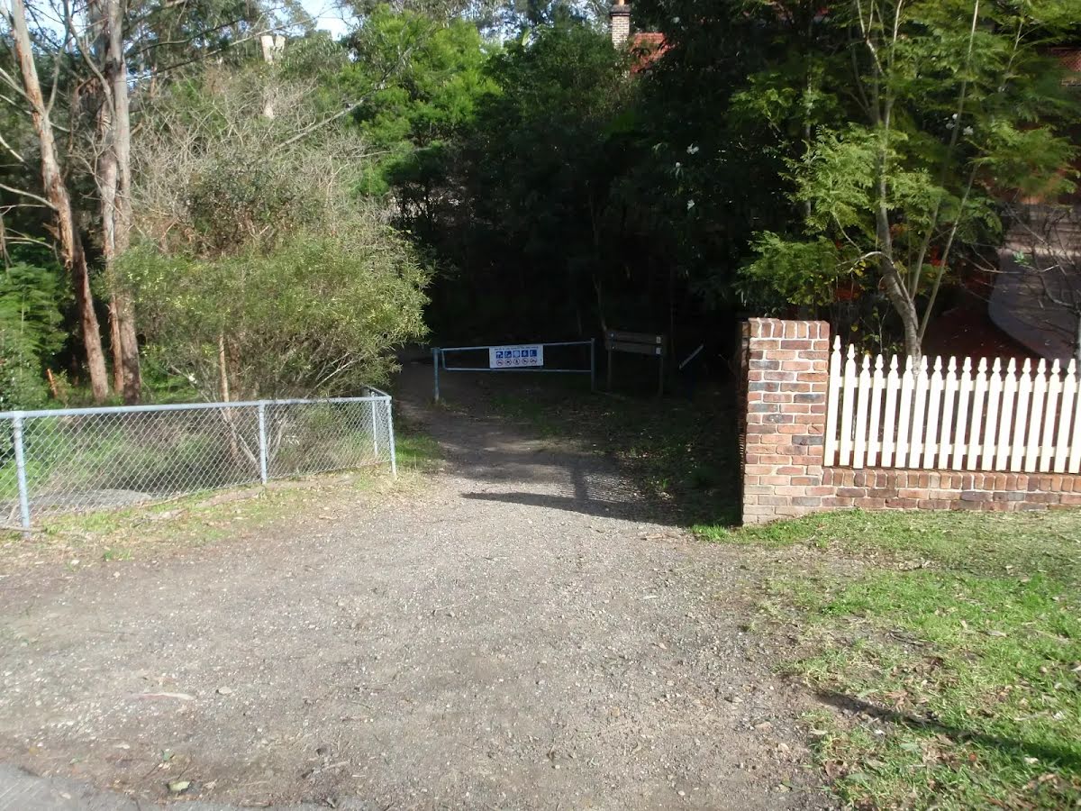
After another 30 m head through/around the gate.
|
|
|
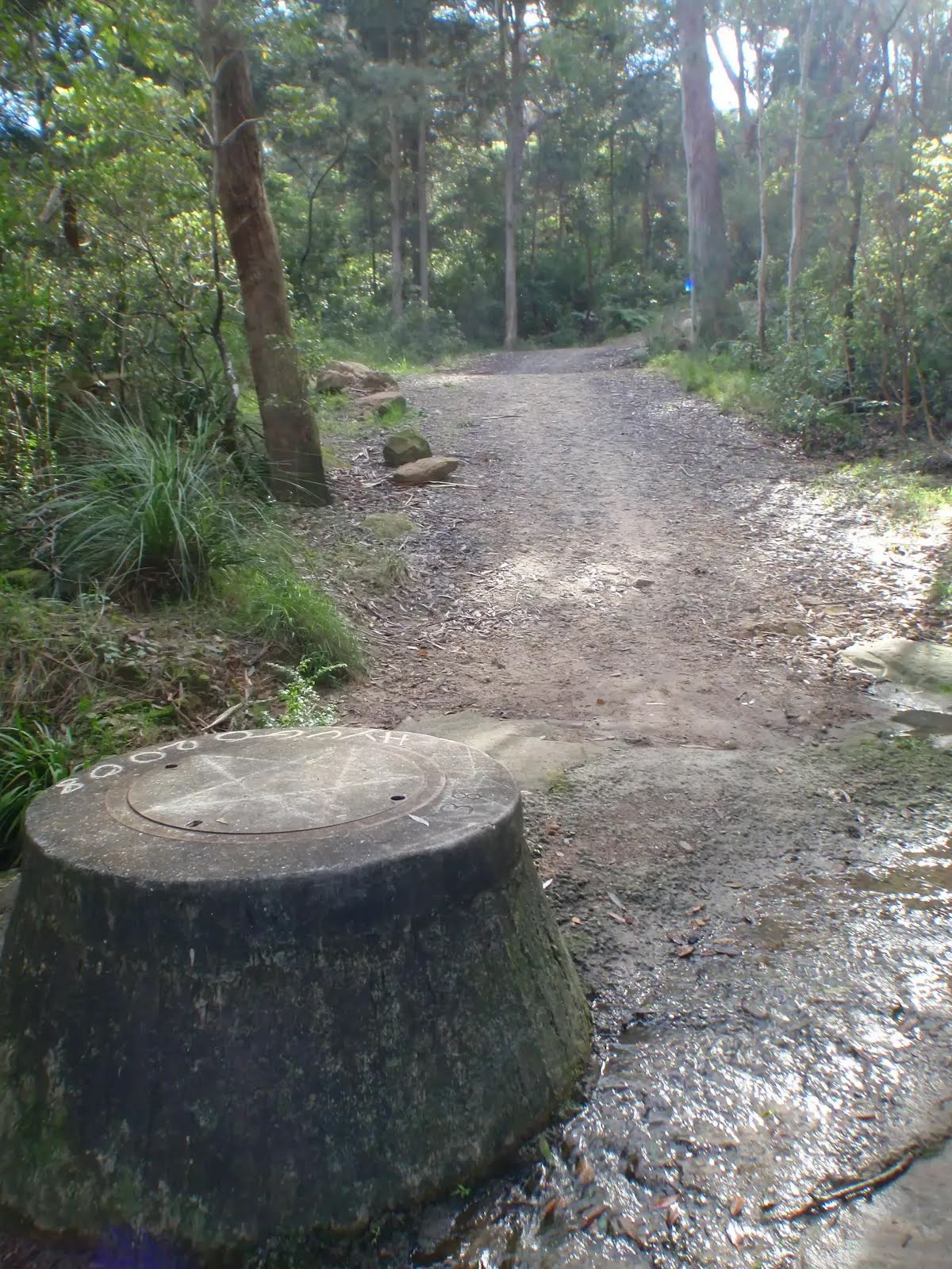
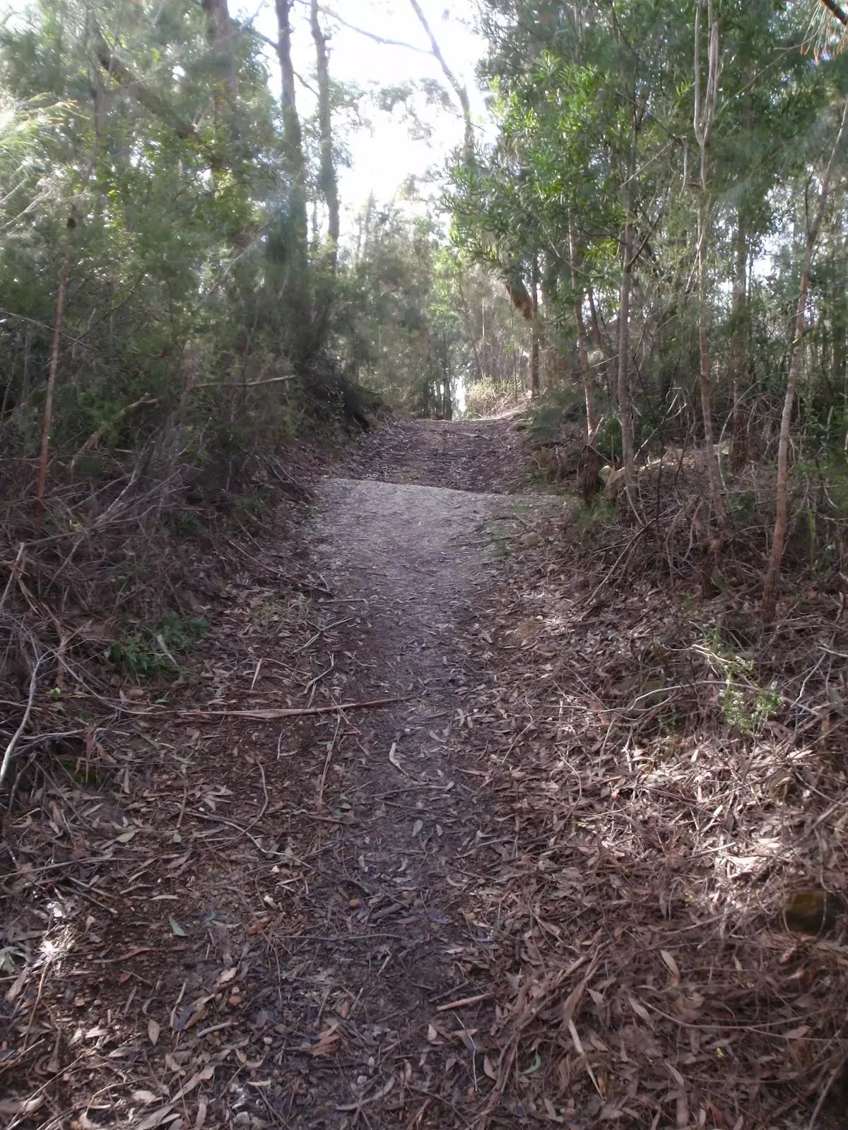
After another 420 m continue straight, to head along Blackbutt Creek Track.

After another 40 m cross the ford.
|
|
|
After another 255 m continue straight, to head along Blackbutt Creek Track.
|
|
|
After another 1 km turn right, to head along Blackbutt Creek Track.
After another 10 m cross the ford.
After another 105 m head through/around the gate.
|
|
|
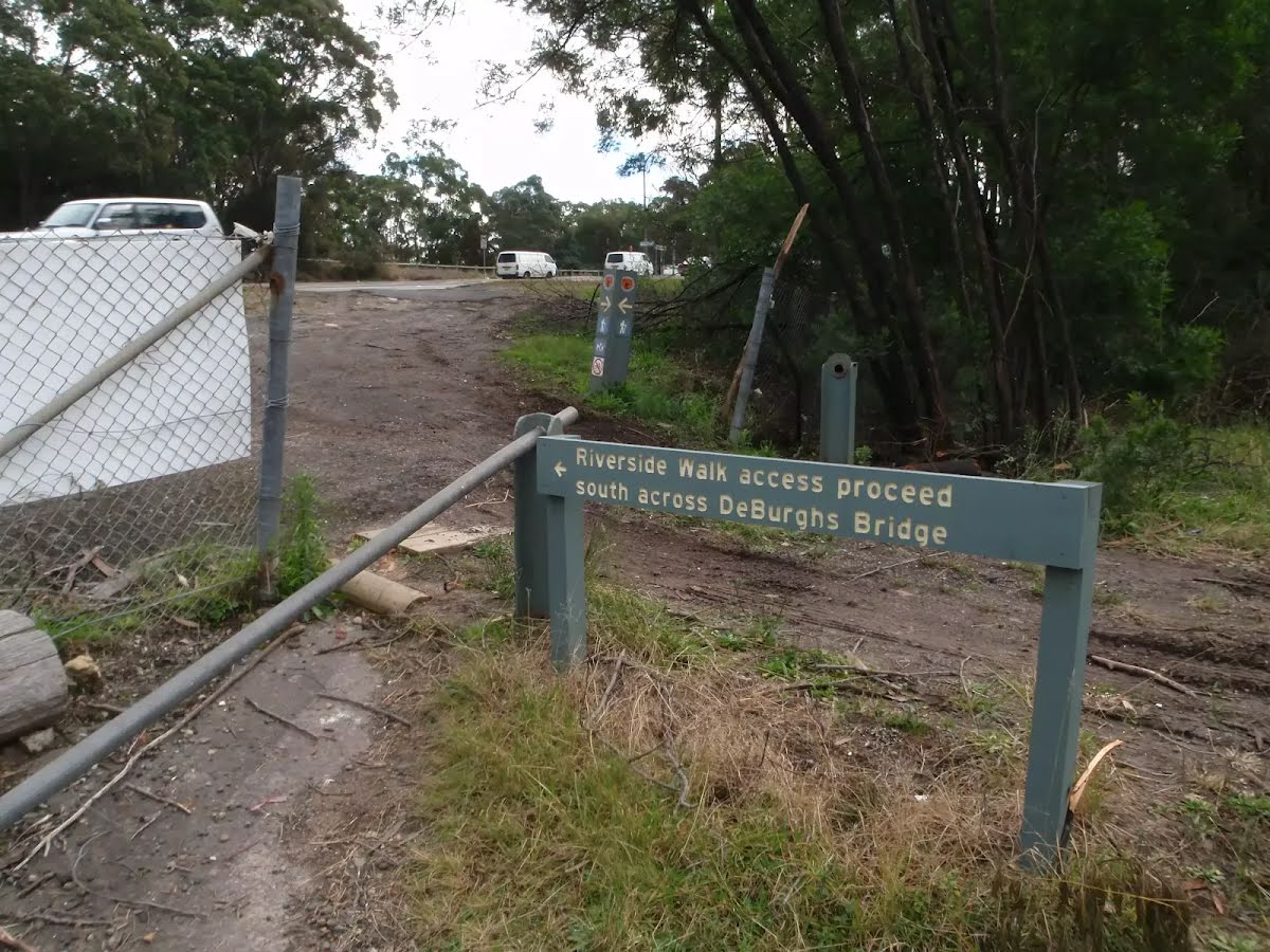
At the intersection of Lady Game Drive & Blackbutt Creek Track turn left, to head along Lady Game Drive (a highway|tertiary).
|
|
|
After another 360 m (at the intersection of De Burgh Road & Lady Game Drive) turn right, to head along De Burgh Road (a residential road).
|
|
|
After another 15 m continue straight, to head along De Burgh Road.
|
|
|
After another 235 m (at the intersection of Beaumont Road & De Burgh Road) turn right, to head along Beaumont Road.
|
|
|
After another 100 m (at the intersection of Beaumont Road & Manning Road) continue straight, to head along Beaumont Road.
|
|
|
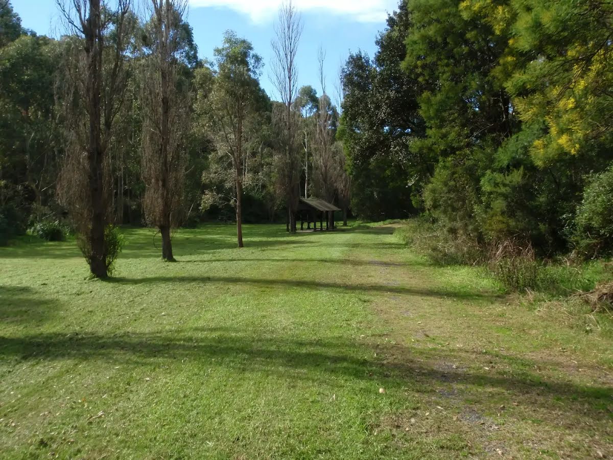
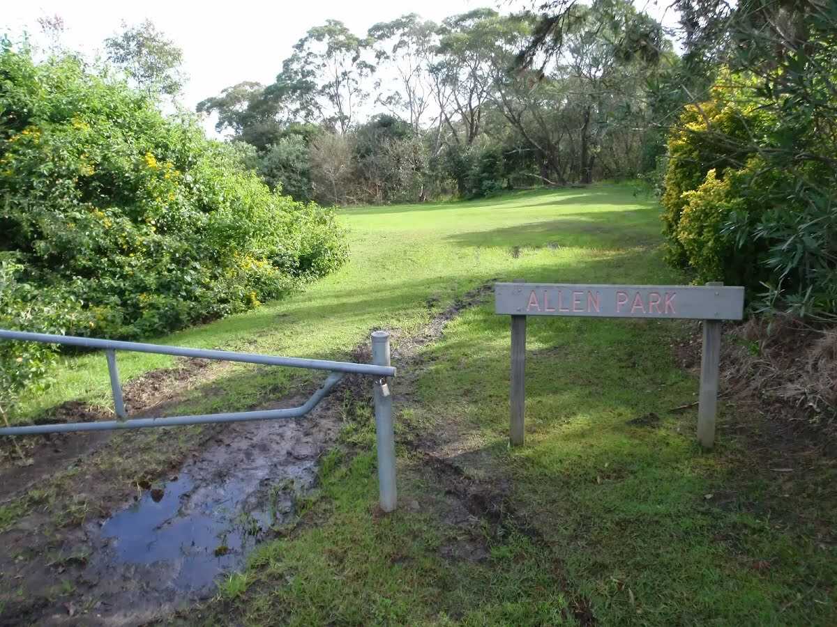
After another 540 m turn right.

After another 510 m find the "Allen Park" (on your left).
|
|
|
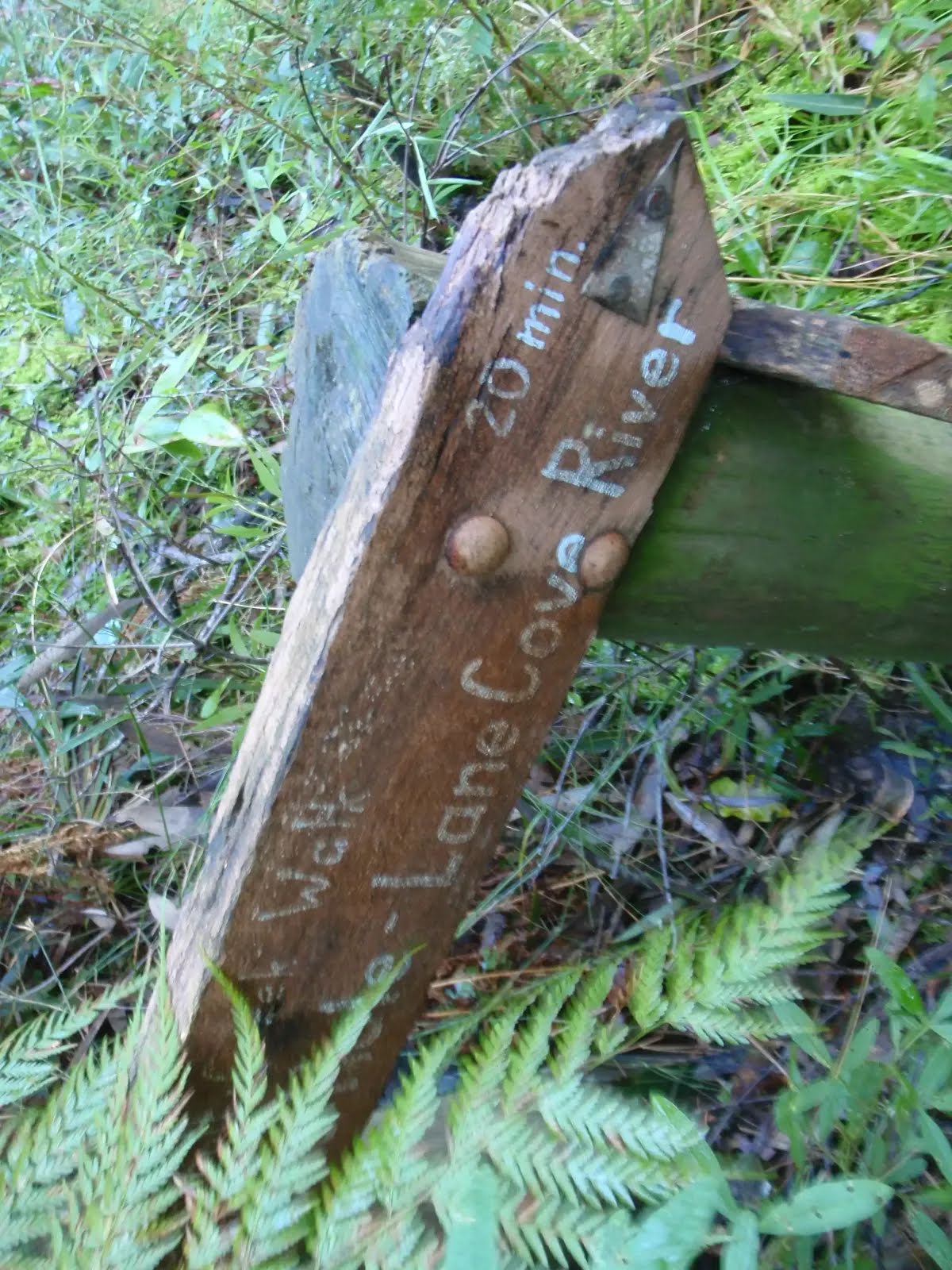
Continue straight, to head along The Great North Walk.

After another 50 m pass the sign (on your right).
|
|
|
After another 45 m continue straight, to head along The Great North Walk.
After another 130 m cross the ford.
|
|
|
Continue straight, to head along The Great North Walk.
|
|
|
After another 70 m continue straight, to head along The Great North Walk.
|
|
|

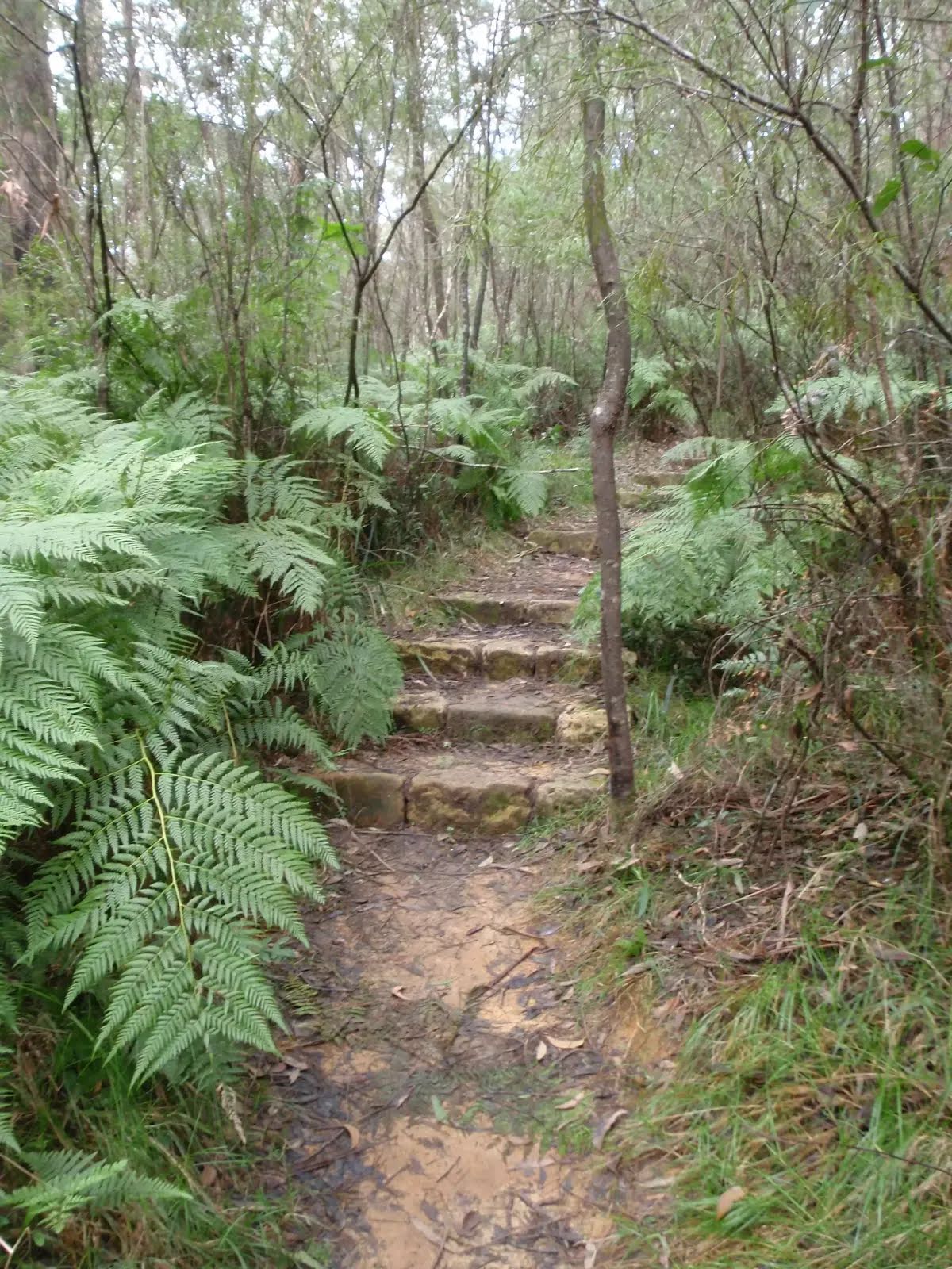
After another 115 m veer right.
After another 60 m pass the sign (9 m on your left).

Then head up the 7 steps (about 3 m long)
|
|
|
After another 50 m continue straight.
|
|
|

After another 35 m turn sharp left.

After another 7 m cross the bridge (about 190 m long)
Then cross the bridge (about 7 m long)

Then head down the earthen steps (about 25 m long)
|
|
|
After another 9 m turn right.
|
|
|
After another 200 m turn left, to head along Riverside Walk.
After another 10 m head down the 38 concrete steps (about 20 m long)
Then pass the sign (on your left).
After another 15 m head down the 6 steps (about 4 m long)
After another 880 m cross the bridge (about 7 m long)
Then head down the 6 stone steps
After another 520 m head up the 11 surface|wood steps (about 4 m long)
|
|
|
After another 2 m (at the intersection of Riverside Drive & Riverside Walk) turn left, to head along Riverside Drive (a vehicle track).
After another 9 m cross the Porters Creek Bridge (about 10 m long)
|
|
|
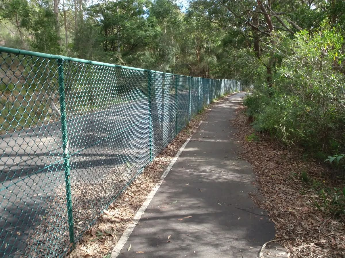
After another 15 m (at the intersection of Riverside Drive & Riverside Walk) turn left, to head along Riverside Walk (a walking track).
After another 6 m head down the 5 steps (about 5 m long)

After another 305 m come to the viewpoint.
After another 180 m head down the 11 earthen steps (about 8 m long)
After another 135 m cross the bridge (about 4 m long)
After another 9 m head down the 7 earthen steps (about 6 m long)
|
|
|
After another 370 m continue straight, to head along Riverside Walk.
After another 155 m come to the viewpoint.
After another 20 m head up the 15 stone steps (about 6 m long)
After another 55 m head down the 13 surface|wood steps (about 5 m long)
After another 340 m head through/around the gate.
|
|
|
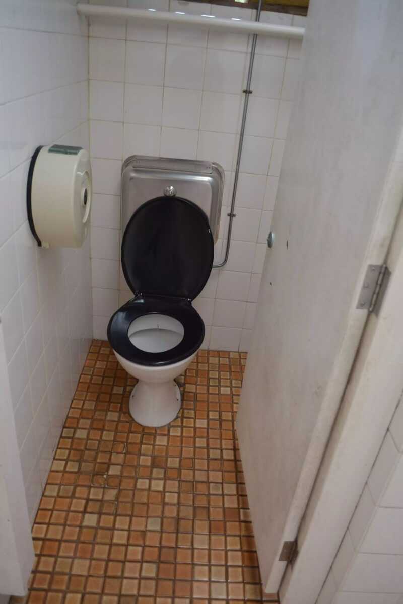
Turn left.

Then pass the toilet (25 m on your right).
|
|
|
After another 35 m turn left.
After another 30 m head through/around the gate.

After another 230 m pass the shelter (25 m on your right).
After another 40 m cross the bridge (about 5 m long)
|
|
|
After another 110 m continue straight, to head along Riverside Walk.

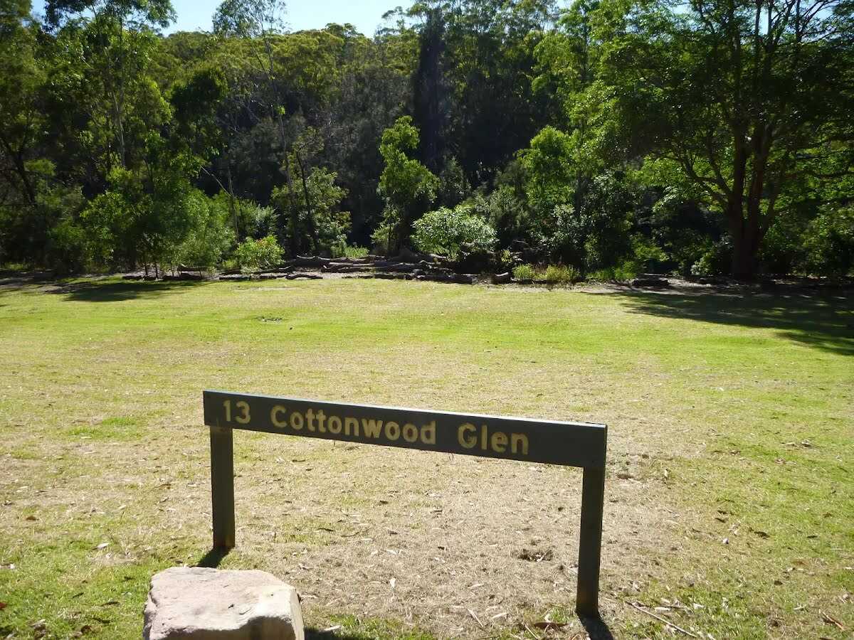
After another 20 m find the "13 Cottonwood Glen" (5 m on your right).
After another 130 m continue straight, to head along Riverside Walk.
|
|
|
After another 225 m continue straight.
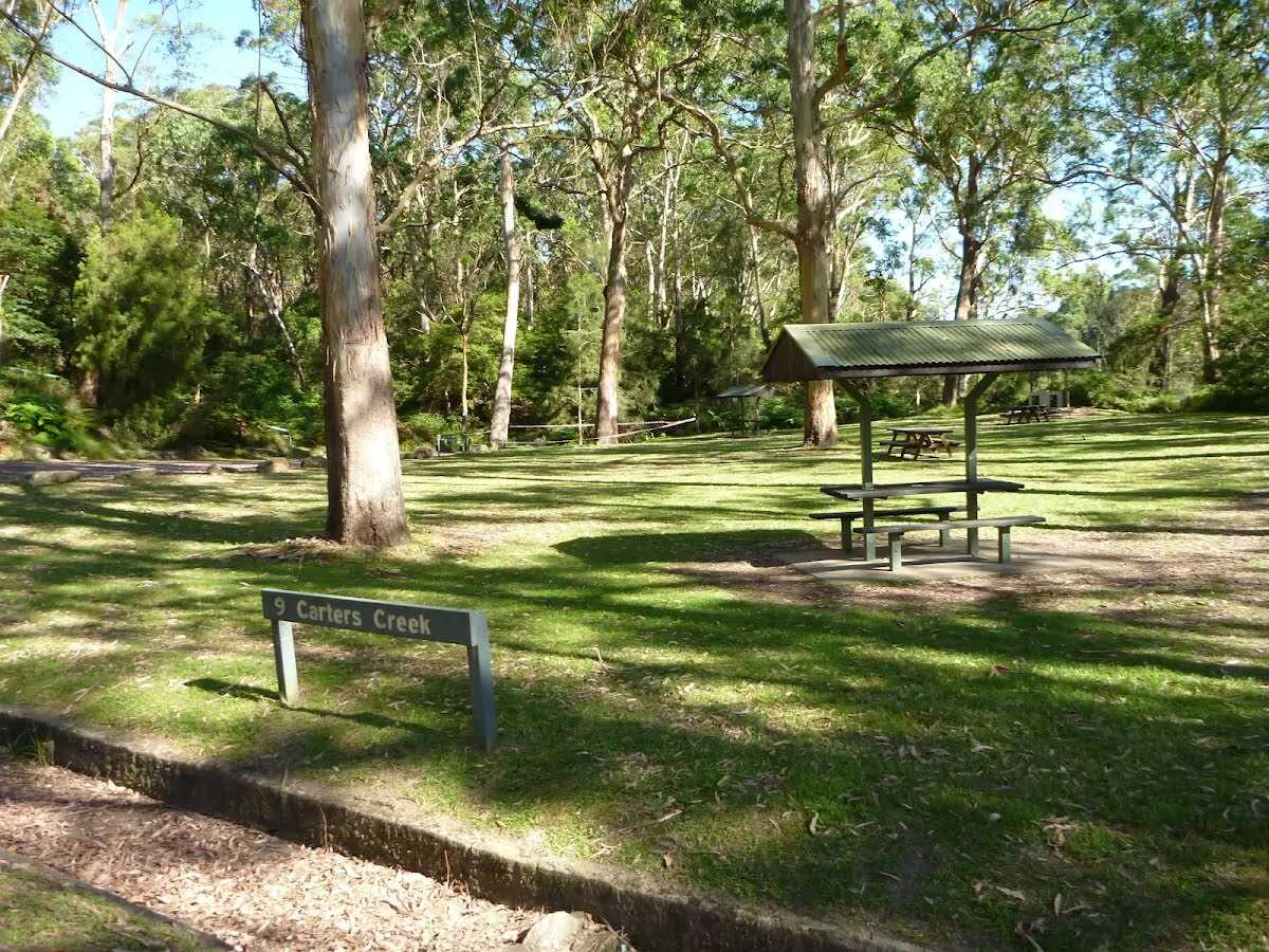
After another 25 m find the "9 Carters Creek" (9 m on your left).
After another 45 m pass the toilet (15 m on your right).
PH, Sa-Su
|
|
|
Continue straight, to head along Riverside Walk.

After another 35 m head through the bollard.
After another 195 m head down the 12 metal steps (about 4 m long)
After another 135 m cross the bridge (about 2 m long)

After another 85 m pass the BBQ (10 m on your right).
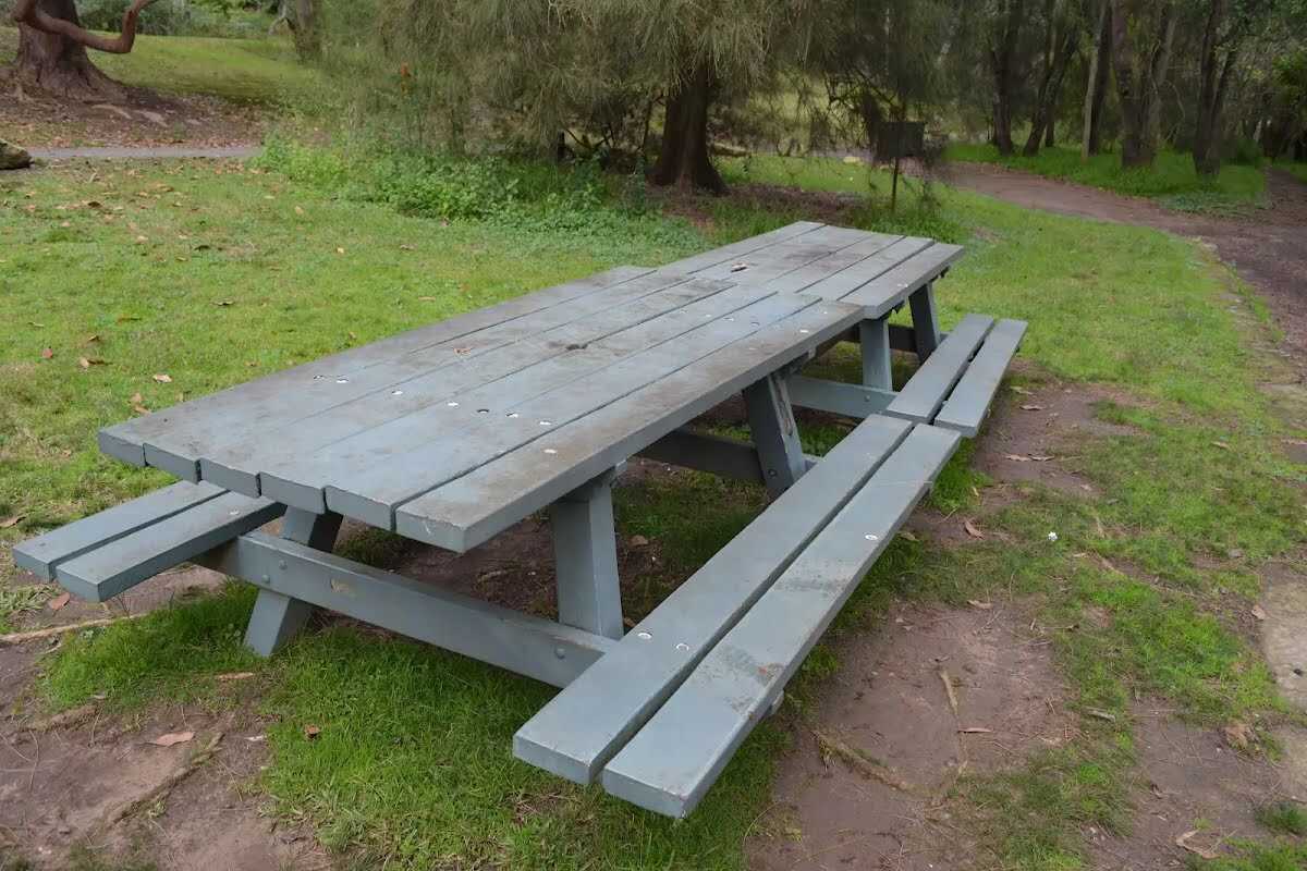
After another 85 m find the "Picnic Table" (on your right).
|
|
|
After another 15 m continue straight, to head along Riverside Walk.
After another 35 m find the "Lane Cove Boatshed" (30 m on your right).
After another 30 m find the "Picnic Table" (8 m on your right).
After another 50 m find the "Pinch Point" (on your right).

After another 45 m come to the "Wheelchair Rough".
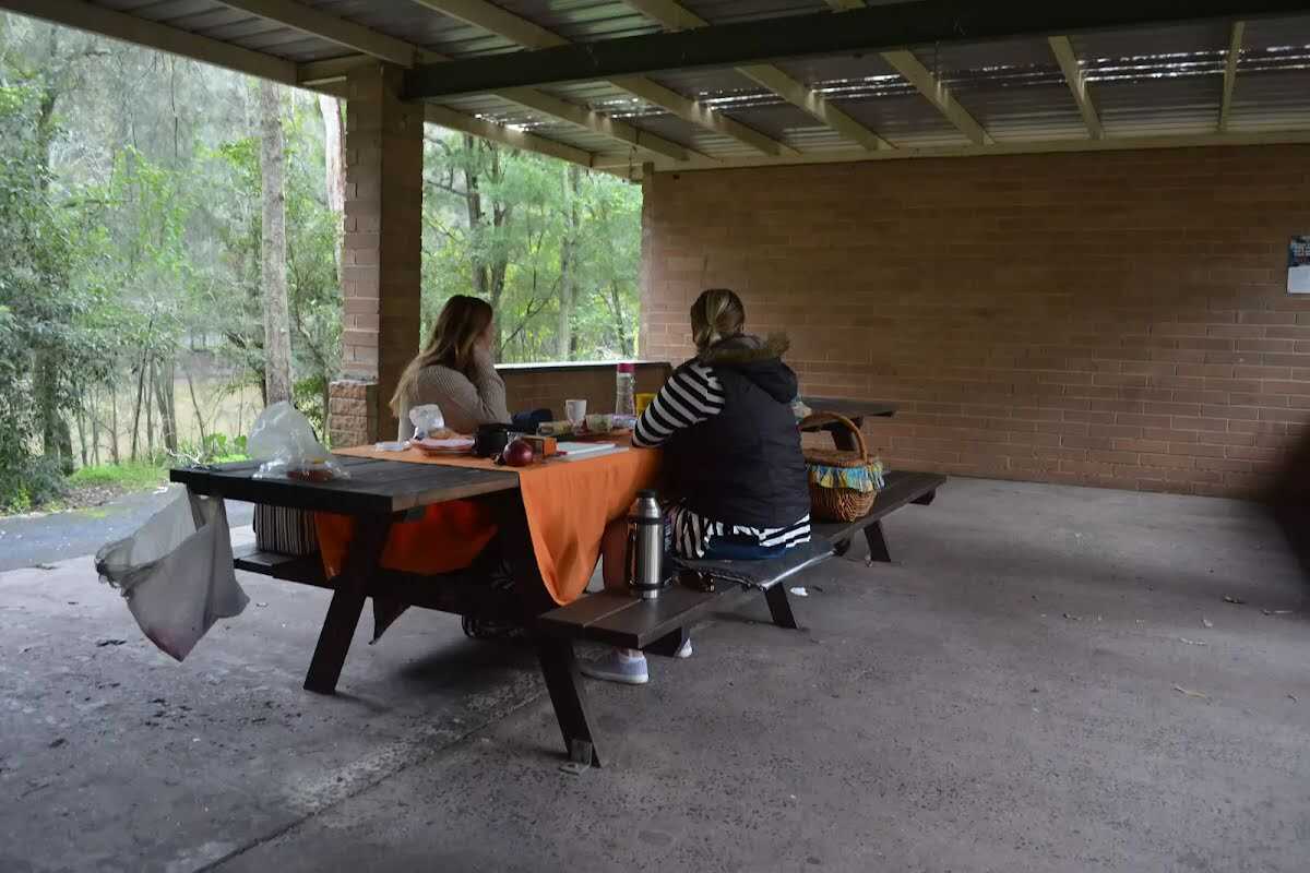
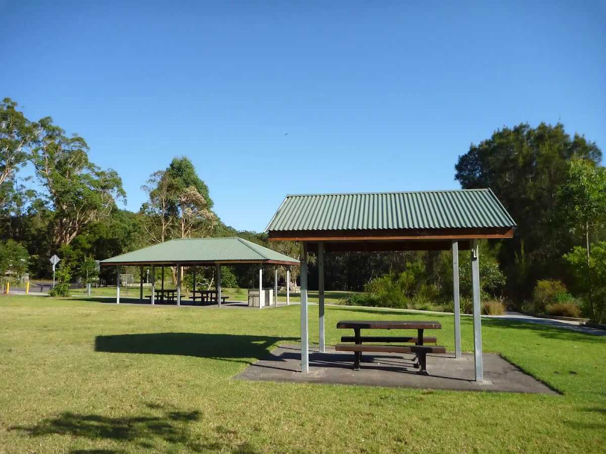
Then find the "Illoura Picnic Shelter" (15 m on your right).
After another 50 m find the "Illoura Picnic Area" (25 m on your right).

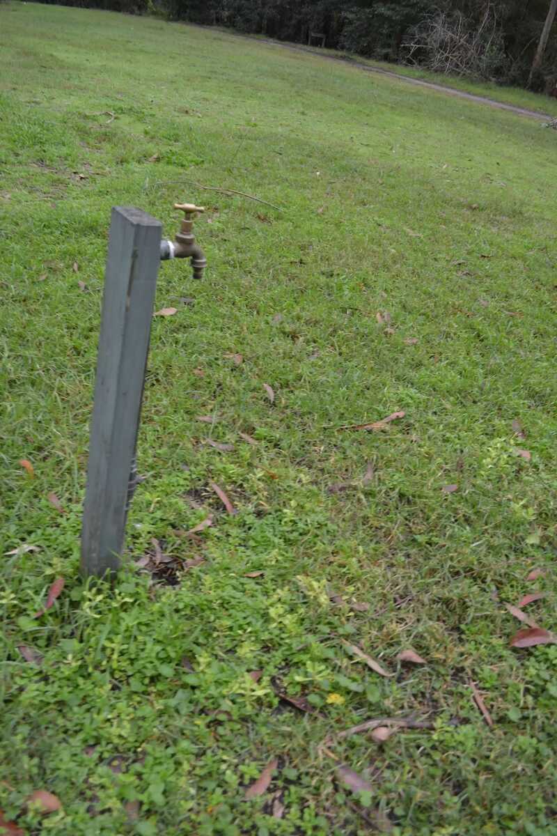
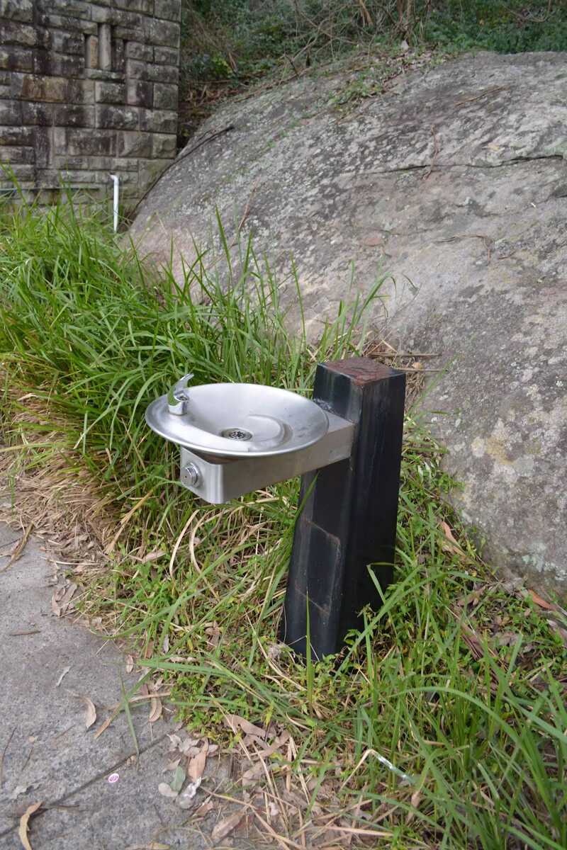
After another 120 m find the "Potable Water" (20 m on your right).
After another 25 m find the "Picnic Table" (15 m on your right).
After another 8 m find the "BBQ" (20 m on your right).

After another 15 m find the "Seat" (15 m on your right).
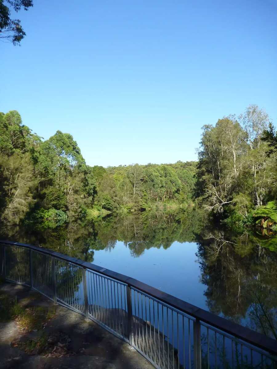
After another 130 m find the "Lane Cove River Lookout" (on your left).
Then find the "Seat" (on your right).
|
|
|
After another 20 m turn sharp left.
|
|
|
After another 15 m turn right.
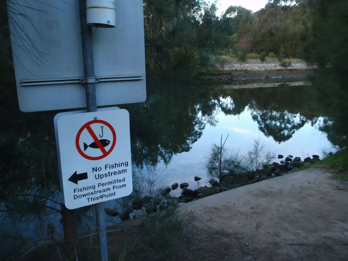
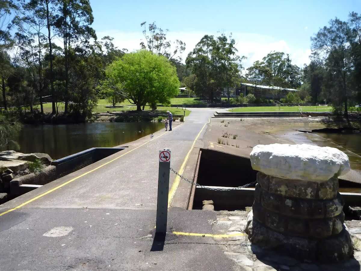
After another 35 m find the "Lane Cove Weir" (30 m on your left).

Then find the "Trip Hazard" (on your left).
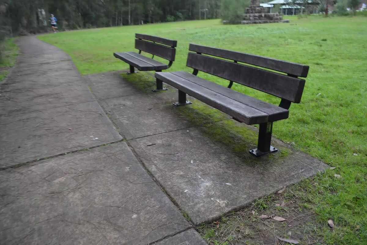
After another 15 m find the "Seat" (on your left).
|
|
|
After another 45 m veer right.
After another 30 m find the "Koonjeree Picnic Area" (7 m on your left).
Continue straight.
|
|
|
After another 25 m turn left, to head along Riverside Drive.
Then pass the BBQ (5 m on your left).
After another 35 m find the "Toilet" (15 m on your right).
After another 20 m find the "Potable Water" (15 m on your right).
After another 30 m head through/around the gate.
09:00-19:00
|
|
|
After another 25 m (at the intersection of Delhi Road & Riverside Drive) turn right, to head along Delhi Road (a highway|primary).
|
|
|
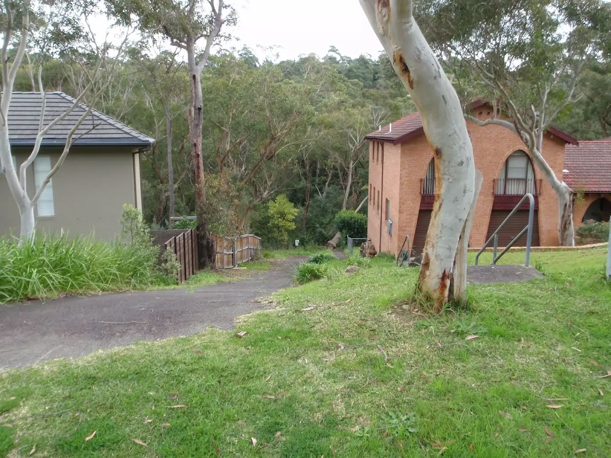
After another 20 m (at the intersection of Delhi Road & River Avenue) turn left, to head along River Avenue (a residential road).
|
|
|
After another 15 m (at the intersection of River Avenue & The Great North Walk) turn sharp left (a footpath).
After another 15 m pass the "The Great North Walk" (5 m on your right).
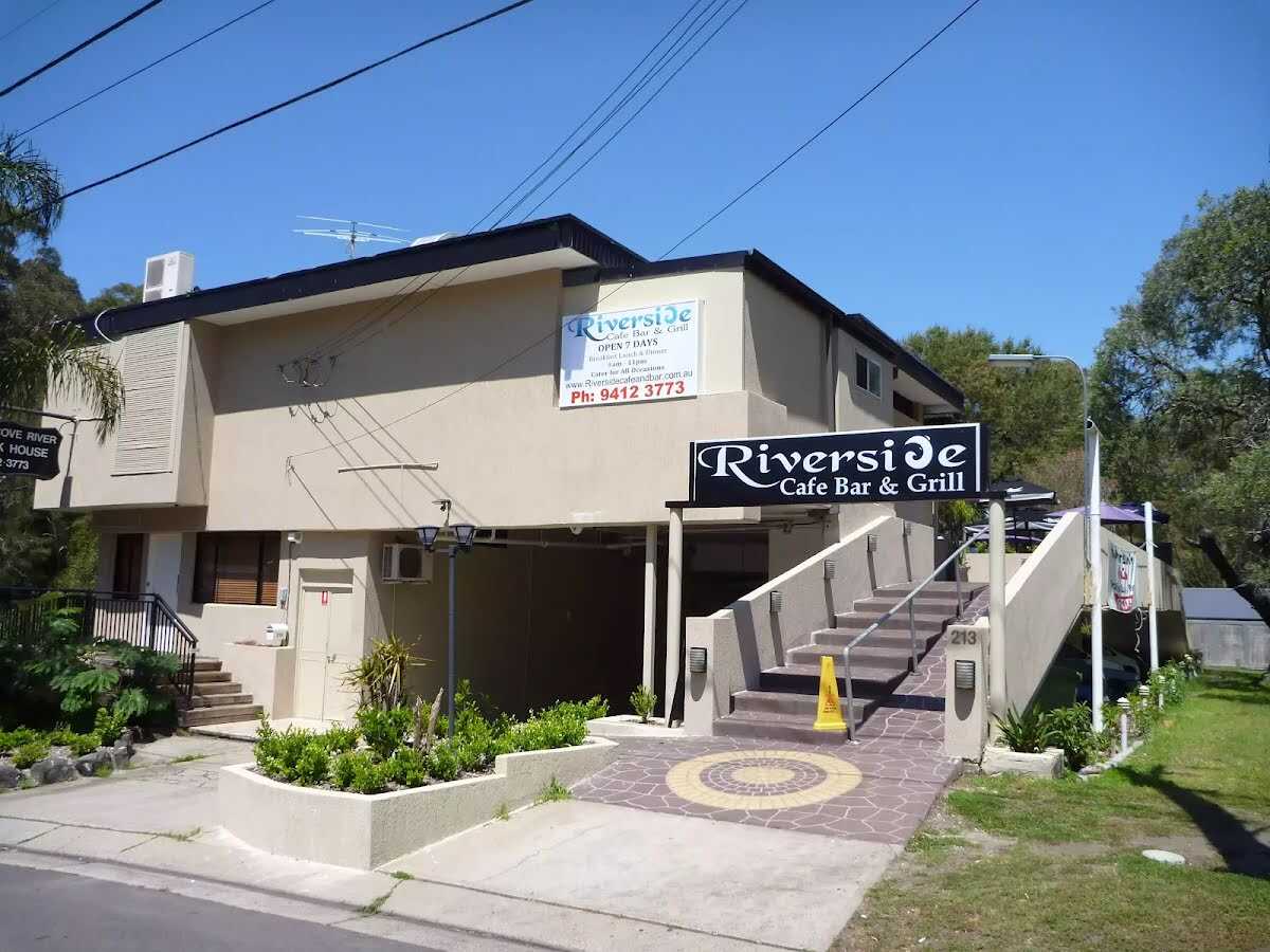
After another 60 m find the "Riverside Cafe Bar & Grill" (25 m on your right).
After another 10 m head down the steps (about 7 m long)
Then cross the bridge (about 60 m long)
|
|
|
After another 6 m continue straight.
|
|
|
After another 15 m turn left, to head along Lady Game Drive.
|
|
|
After another 45 m (at the intersection of Blue Gum Creek Walking Track & Lady Game Drive) turn right, to head along Blue Gum Creek Walking Track (a vehicle track).
After another 40 m head through/around the gate.
After another 380 m head into the "Fullers Park".
|
|
|
After another 150 m continue straight.
After another 40 m pass the "Chatswood Rifle Range" (25 m on your right).
After another 120 m continue straight.
|
|
|
After another 210 m turn right.
|
|
|
After another 65 m turn left, to head along Valley View Close.
|
|
|
After another 3 m turn right.
|
|
|
After another 80 m turn right, to head along Longford Street.
|
|
|
After another 110 m (at the intersection of Shirley Road & Longford Street) turn left, to head along Shirley Road.
|
|
|
After another 180 m (at the intersection of Shirley Road & Abingdon Road) veer right, to head along Shirley Road.
|
|
|
After another 135 m continue straight, to head along Shirley Road.
|
|
|
After another 70 m (at the intersection of Shirley Road & Glen Road) continue straight, to head along Shirley Road.
After another 290 m (at the intersection of Shirley Road & Alston Way) continue straight, to head along Shirley Road.
|
|
|
After another 205 m (at the intersection of Shirley Road & The Rifleway) turn right, to head along The Rifleway (a footpath).
|
|
|
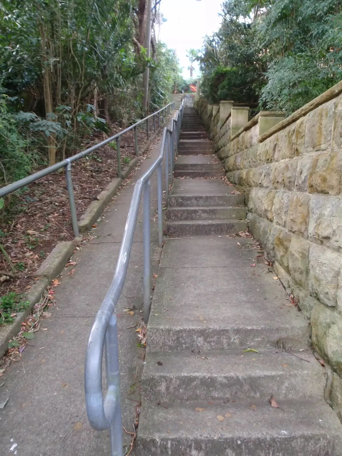
After another 185 m (at the intersection of Larkin Street & The Rifleway) continue straight (a steps).
Then head up the steps (about 60 m long)
|
|
|
Continue straight.
|
|
|
After another 60 m turn right, to head along Pacific Highway.
|
|
|
After another 35 m turn left.
|
|
|
After another 9 m continue straight.
After another 35 m cross the bridge

After another 15 m come to the end.
|