Yeramba Lagoon Loop
Darug Country

40 min to 45 min

1.7 km
circuit

↑ 33 m
↓ -33 m

Moderate track
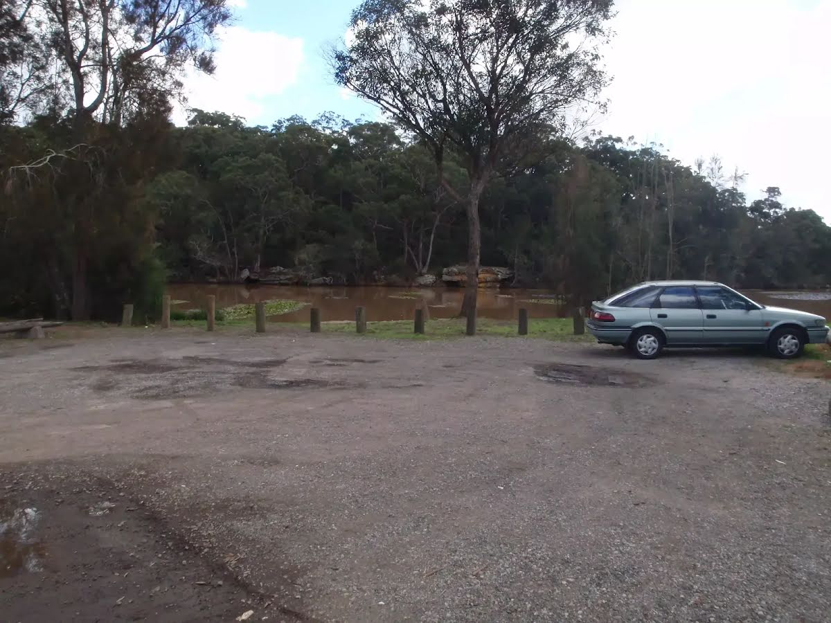
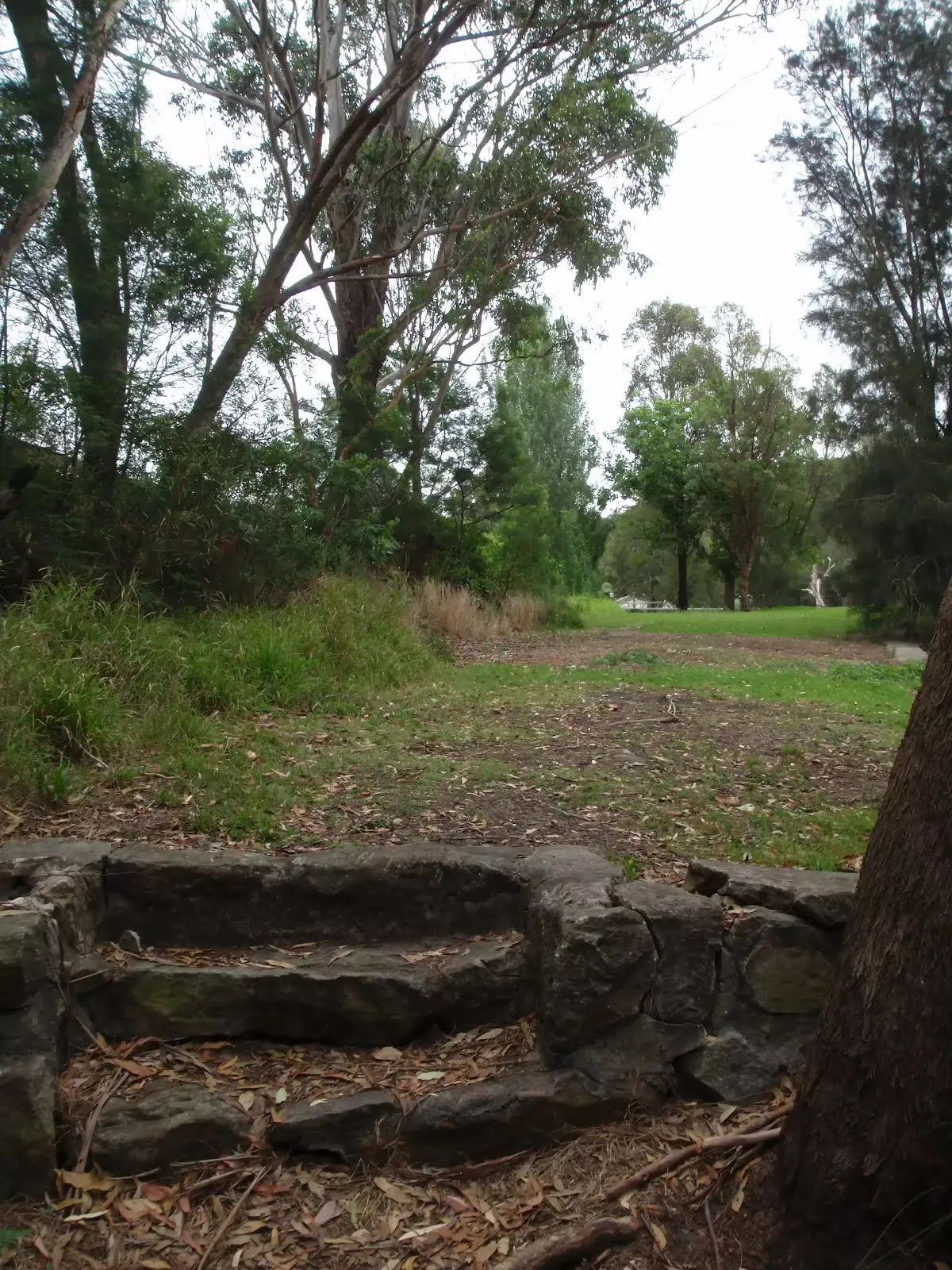
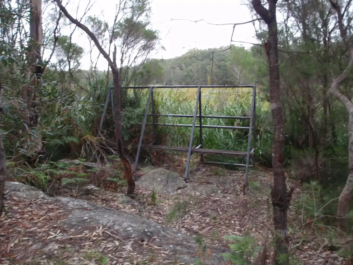
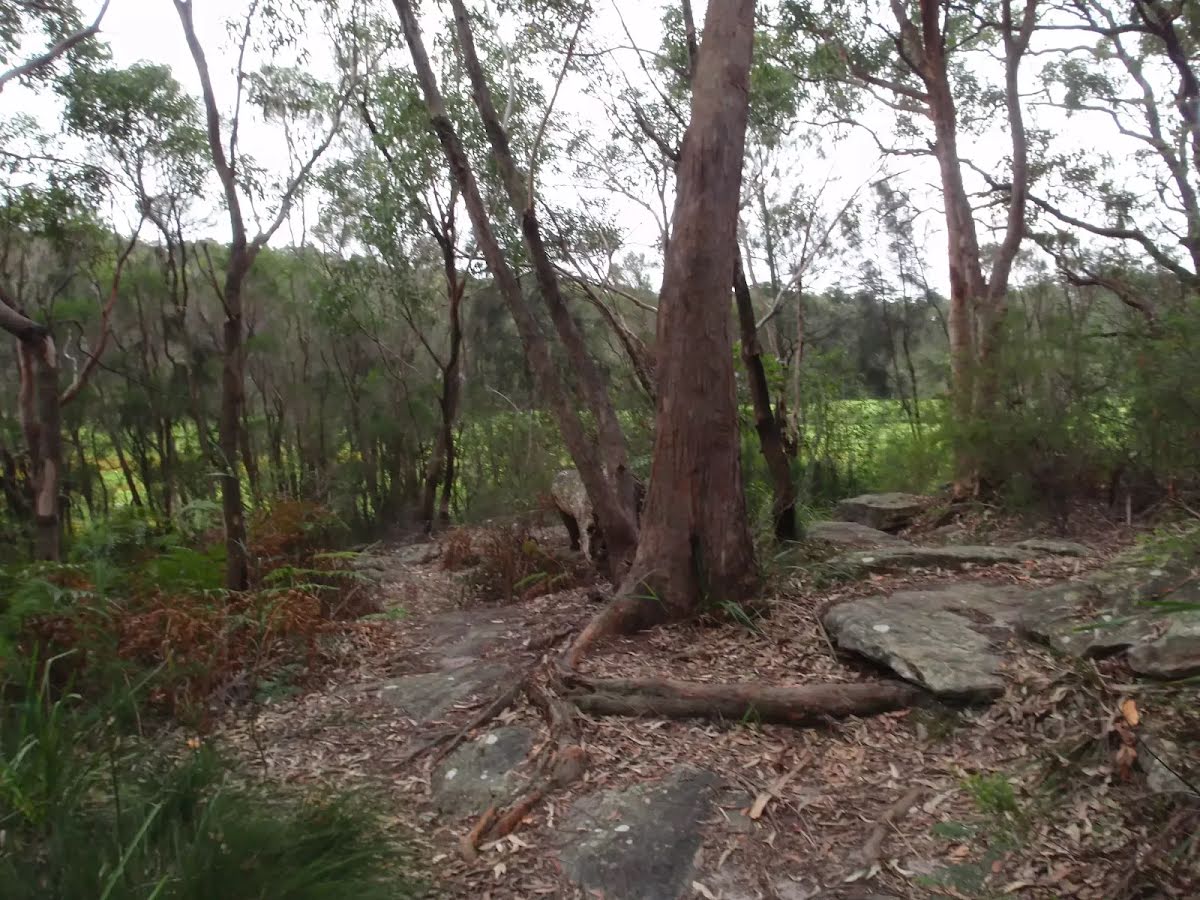
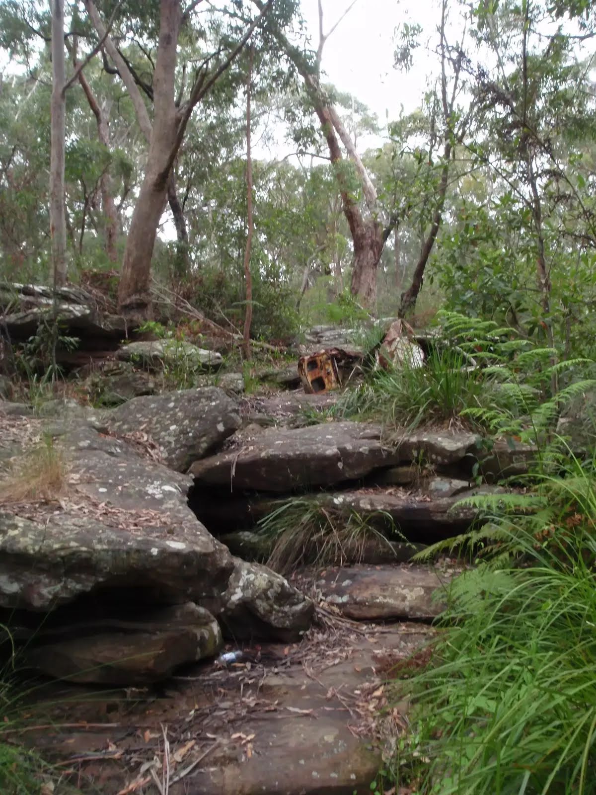
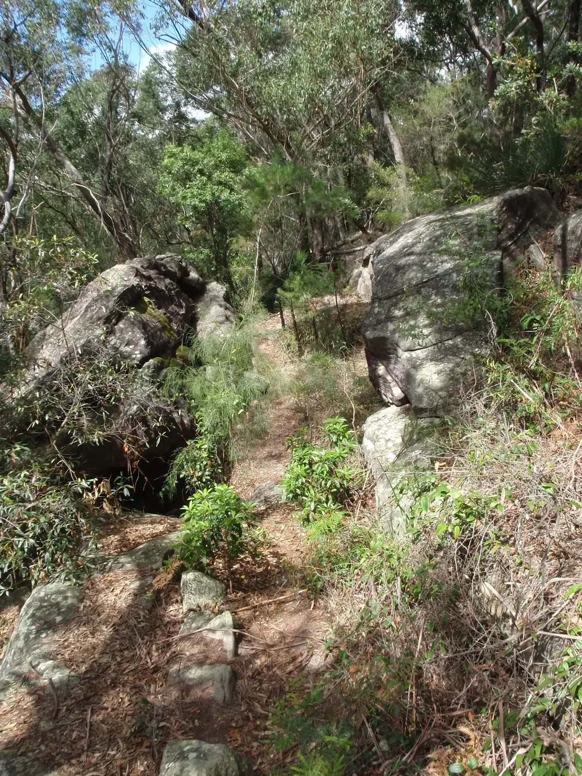
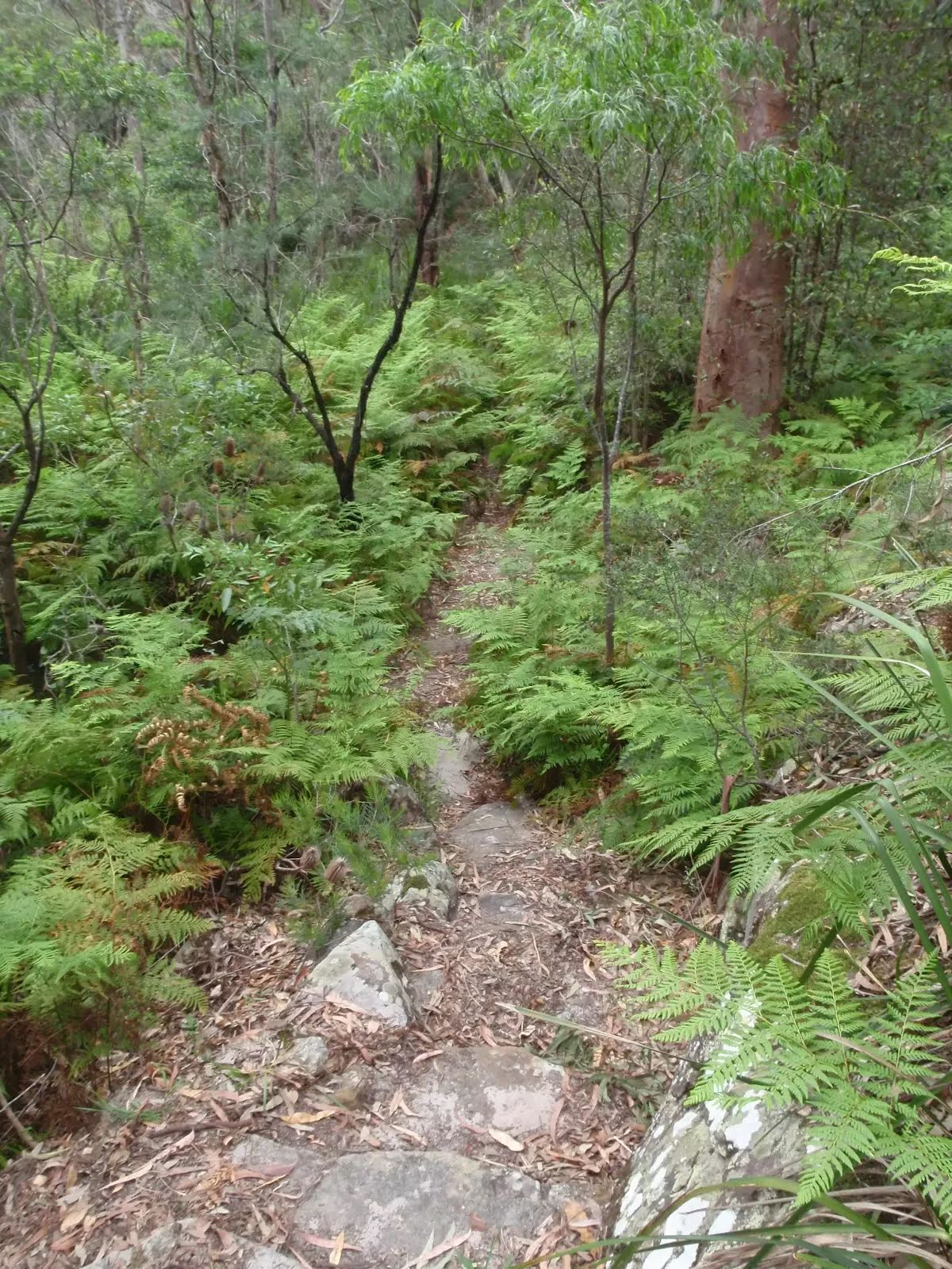
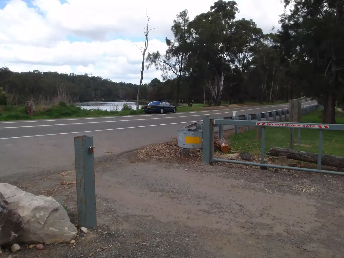
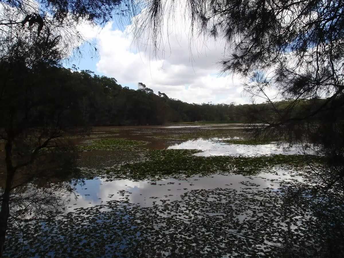
This pleasant loop walk circumnavigates the Yeramba Lagoon, following a series of small bush tracks that undulate along the side of the hills in the surrounding area. The Yeramba Lagoon is a great spot for bird watchers, and is a home to more than 100 species of birds. Let us begin by acknowledging the Darug people, Traditional Custodians of the land on which we travel today, and pay our respects to their Elders past and present. 
Show all
yeramba lagoon carpark. | Photo by admin, 2008.
crossing the grass to the bushtrack. | Photo by admin, 2008.
winding around the waters edge. | Photo by admin, 2008.
crossing a small bridge. | Photo by admin, 2008.
birdwatchers observatory frame. | Photo by admin, 2008.
following the rocky track. | Photo by admin, 2008.
following the waters edge. | Photo by admin, 2008.
winding up a rock outcrop. | Photo by admin, 2008.
following the lagoon bushtrack. | Photo by admin, 2008.
through the dence forest surrounding the lagoon. | Photo by admin, 2008.
winding up away from the lagoon. | Photo by admin, 2008.
view of the lagoon through the trees. | Photo by admin, 2008.
between a rock and a hard place. | Photo by admin, 2008.
winding through the bracken ferns. | Photo by admin, 2008.
looking through to the waters edge. | Photo by admin, 2008.
crossing a small wooden bridge. | Photo by admin, 2008.
view of the lagoon from henry lawson drive. | Photo by admin, 2008.
back to the lagoon carpark. | Photo by admin, 2008.
Downloads GPX PDF

+
-
Safer Bushwalks
Tips on staying safe on track
Before you start any bushwalk ensure you;
• Tell someone you trust where you are going and what to do if you are overdue
• Have adequate equipment, supplies, skills & knowledge for the whole journey
• Consider the impact of weather forecasts, park/track closures & fire dangers
• Can respond to emergencies & call for help at any point
• Are healthy and fit enough for this journey
If not, change plans and stay safe. It is okay to delay and ask people for help.
+
-
Getting There
Transport options and directions
Start (-33.9783539,151.0037539)
Mode Bus Car (There is free parking available.)
DirectionsFrom Clancy Street Exit
  • Turn on to Clancy Street then drive for 115 m
  • Turn right onto Carlene Avenue and drive for another 15 m
  • Turn right onto Henry Lawson Drive and drive for another 4 km
+
-
Track Notes
Turn by turn instructions & maps
Getting started
From the car park, this walk heads across the grass, keeping the lagoon on the left. Soon the walk heads down a short set of rock steps to the bush track which it follows. The track crosses a short wooden bridge and heads up the rocky hill, until flattening out and coming to the birdwatchers observatory frame (looks a bit like monkey bars).....
Turn map Directions & comments
Start.
After 15 m to find the car park.
After another 45 m find the "Yerambah Lagoon" (45 m on your left).
Yerambah Lagoon
Yerambah Lagoon

This large lagoon can be found on Henry Lawson Drive, just east of Picnic Point, inside the Amberdale Reserve. The dense forest surrounding the lagoon is also a great spot for those wanting to spot native plants and animals. At the southern end of the lagoon, Yerambah Creek connects the lagoon to Georges River.
+
-
This large lagoon can be found on Henry Lawson Drive, just east of Picnic Point, inside the Amberdale Reserve. The dense forest surrounding the lagoon is also a great spot for those wanting to spot native plants and animals. At the southern end of the lagoon, Yerambah Creek connects the lagoon to Georges River.

After another 550 m continue straight.
After another 65 m continue straight.
After another 25 m turn left.
After another 25 m veer right.
After another 9 m veer left.
After another 590 m continue straight.
After another 300 m cross the ford.
After another 120 m come to the end.
+
-
Terrain
Know the Hills, grading & facilities

Yeramba Lagoon Loop


Grading
Class 3/6
Moderate track
Length 1.7 km
Time 40 min to 45 min
Quality of track Formed track, with some branches and other obstacles (3/6)
Gradient Short steep hills (3/6)
Signage Directional signs along the way (3/6)
Infrastructure Limited facilities, not all cliffs are fenced (3/6)
Experience Required Some bushwalking experience recommended (3/6)
Weather Weather generally has little impact on safety (1/6)
+
-
Articles
Discover more details to thrive on track
+
-
Reviews & Feedback
Share your experience
+
-
Weather & Alerts
Check forecasts & closures
Show Full Weather
Alerts and Closures
Show all alerts
Show all alerts
Show all alerts
+
-
Other Journeys
Discover nearby and similar journeys
Some of the information and maps on this page was generated using data from the awesome © OpenStreetMap contributors.
Please see how you can embed some widgets, access data and other stuff to that might be helpful.