
| Start | (-37.2591865,150.0474774) |
| Mode | Car (A park entry fee is required for driving into the park.) |
| Directions | From Princes Highway, A1
|
| Finish | (-37.2397533,150.0341255) |
| Mode (end) | Car Shuttle Car (A park entry fee is required for driving into the park.) |

|
|
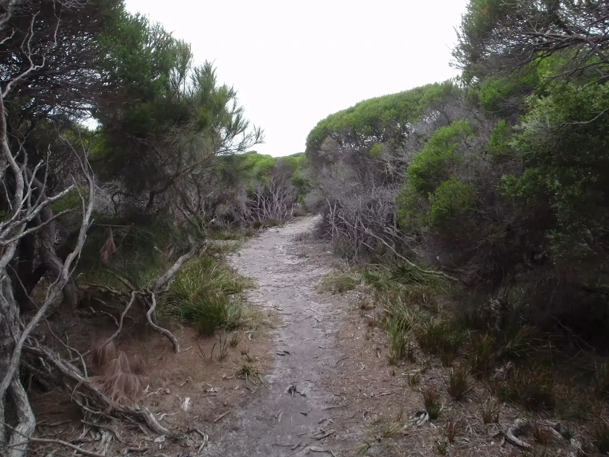
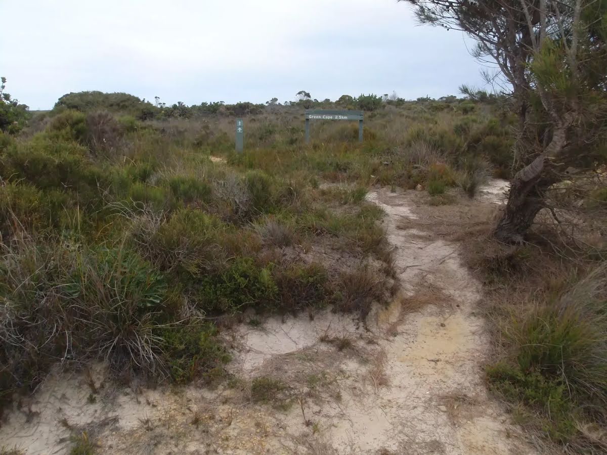
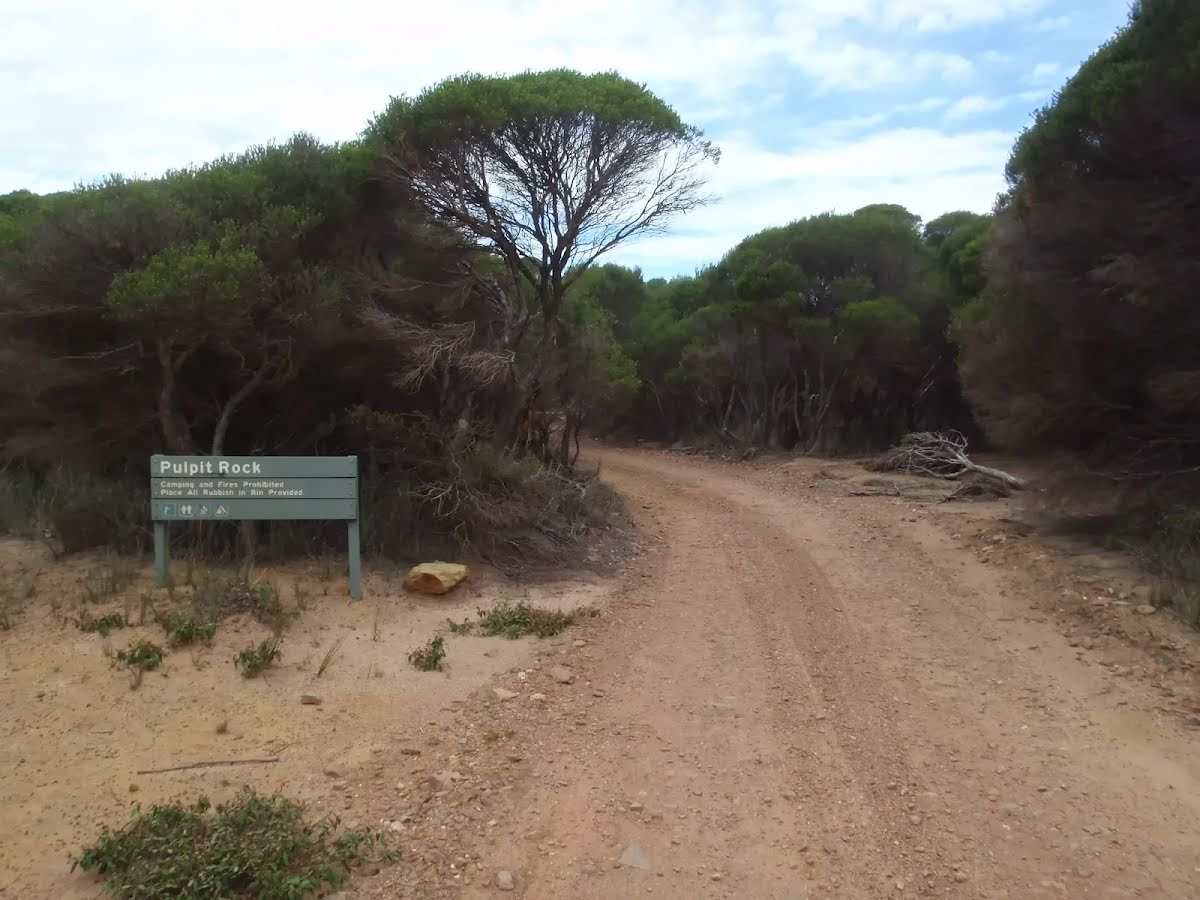
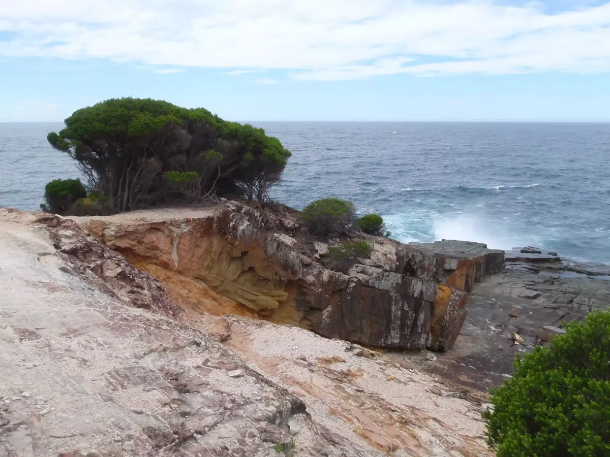
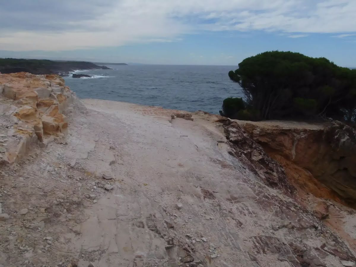
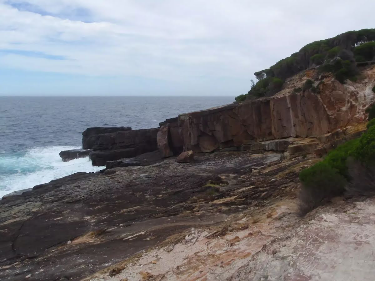
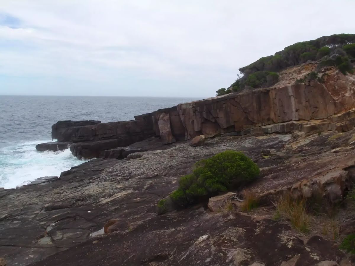
Class 4/6 Hard track |
|---|---|
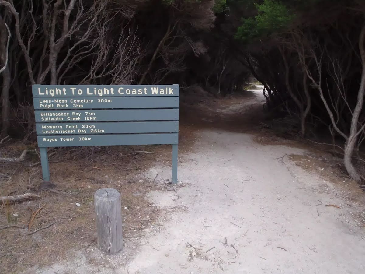
| Length | 3.5 km |
| Time | 1 h 15 min to 1 h 30 min |
| Quality of track | Formed track, with some branches and other obstacles (3/6) |
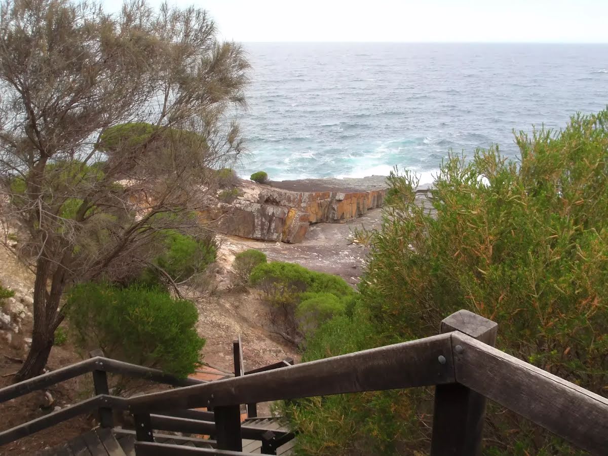
| Gradient | Very steep (4/6) |
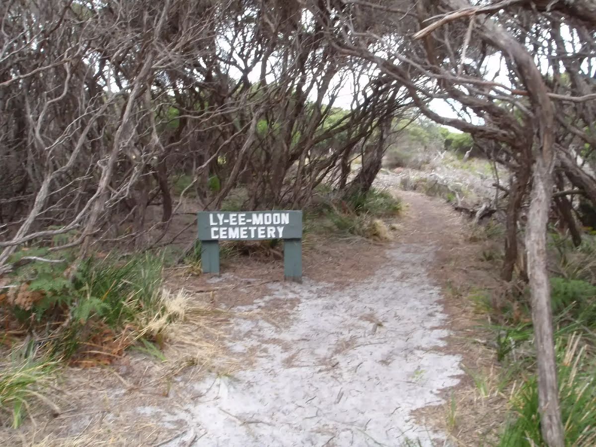
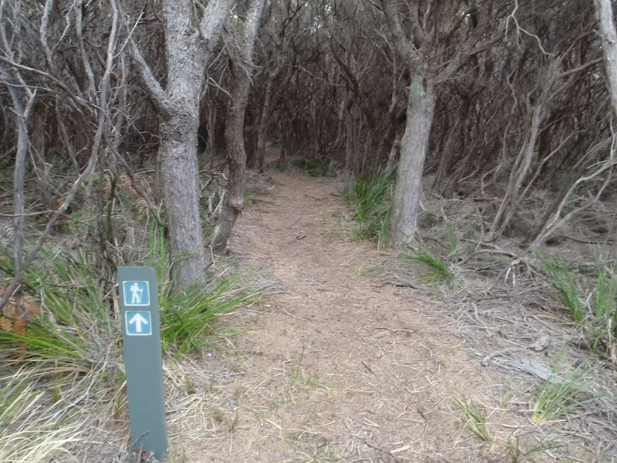
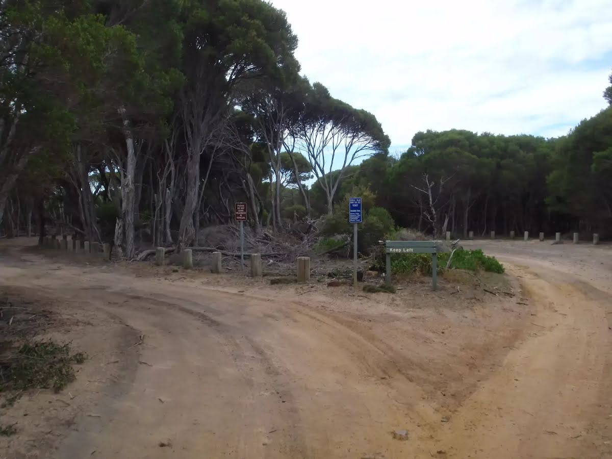
| Signage | Minimal directional signs (4/6) |
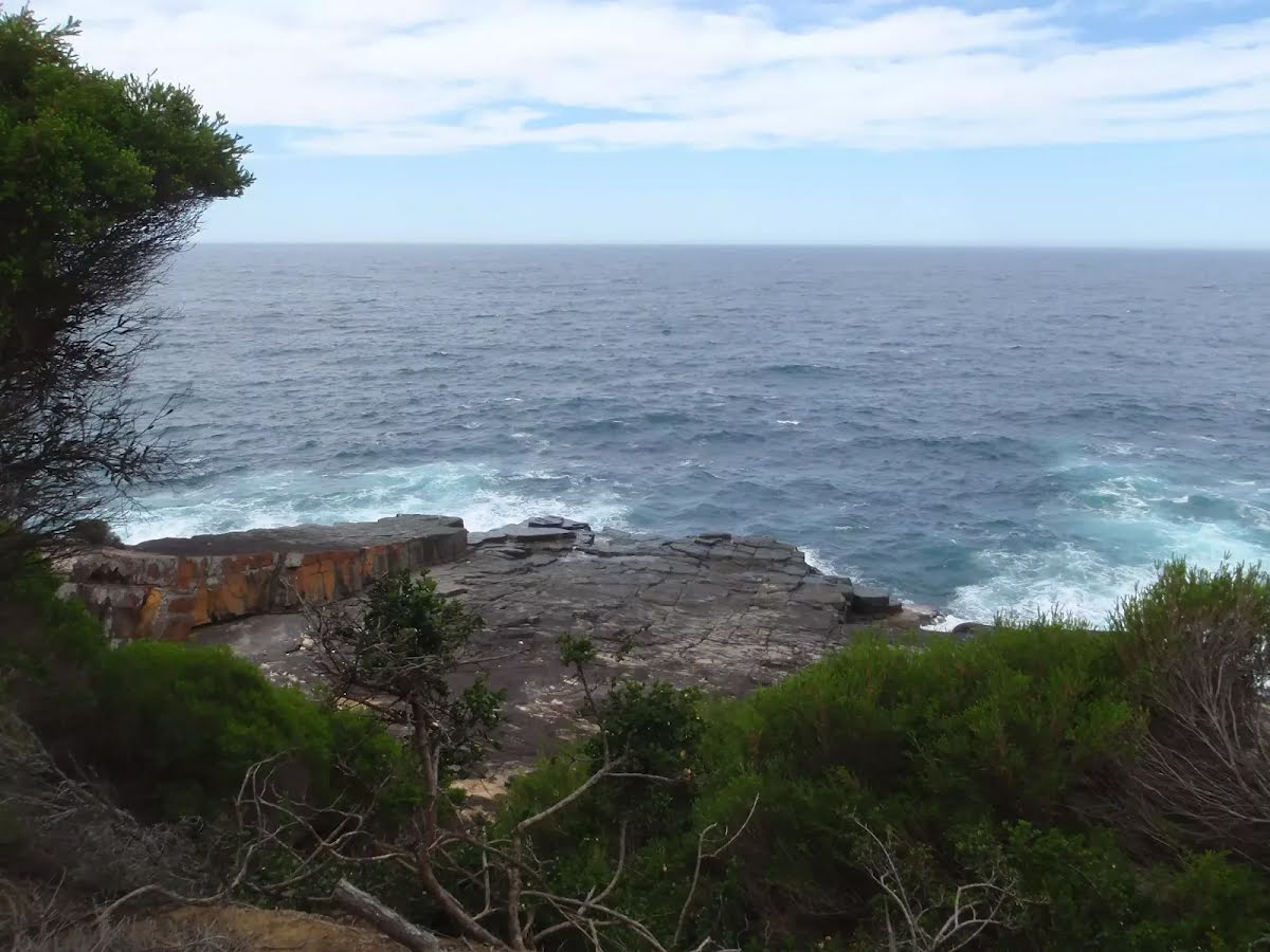
| Infrastructure | Limited facilities, not all cliffs are fenced (3/6) |
| Experience Required | No experience required (1/6) |
| Weather | Foretasted & unexpected storms and severe weather may impact on navigation and safety (4/6) |
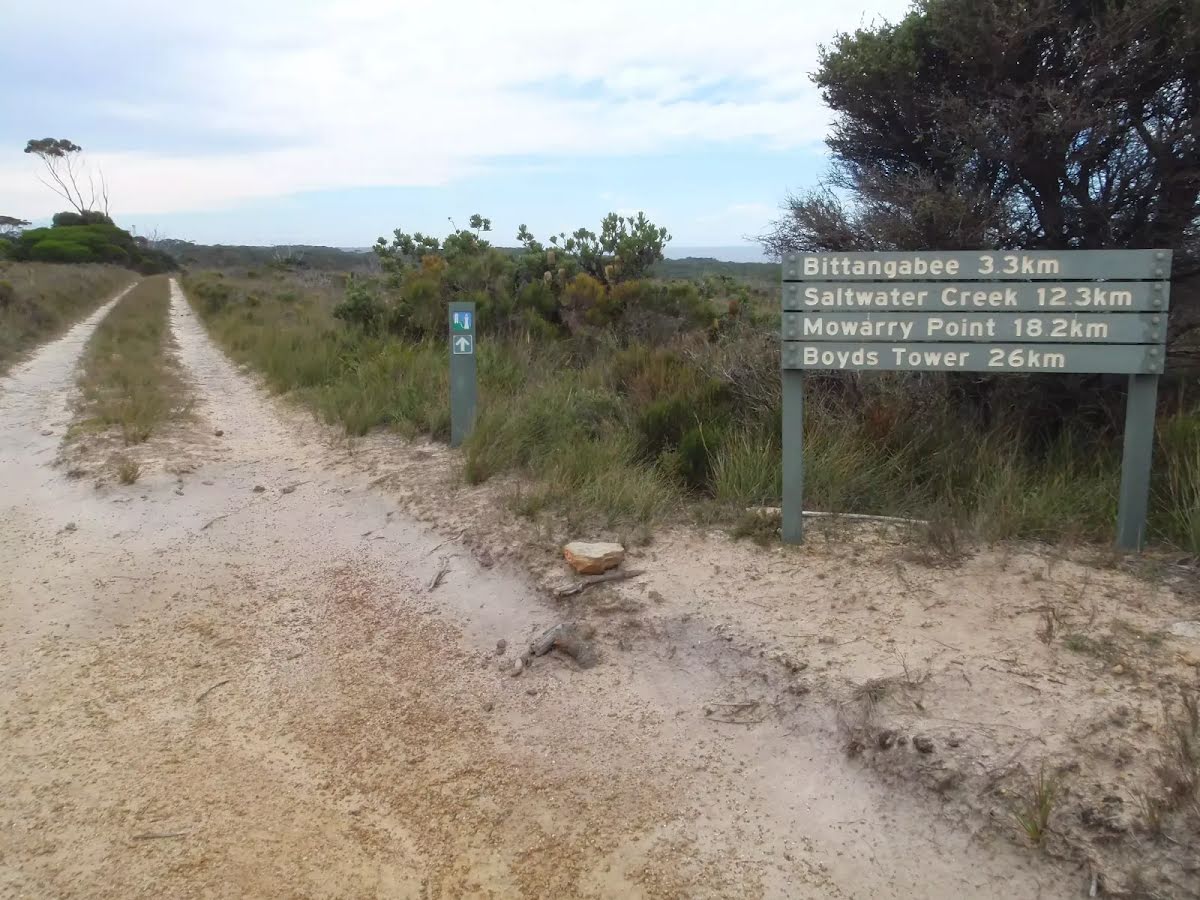
| Item | From Start | Name & link to notes |
|---|---|---|
Toilet
| -65 m | [toilet] |
Toilet
| 3.5 km | [toilet] |