Other planned events: Notice of ongoing 1080 baiting programNSW National Parks and Wildlife Service (NPWS) is conducting an ongoing ground baiting program from Friday 2 May 2025 to Friday 1 May 2026 in the following areas:
- Abercrombie River National Park
- Abercrombie River State Conservation Area
- Kanangra-Boyd National Park
- Blue Mountains National Park (southern section)
- Wollemi National Park (Wolga)
- Gardens of Stone National Park
- Jenolan Karst Conservation Area
- Turon National Park
- Marrangaroo National Park
The operation will use 1080 (sodium fluoroacetate) poison for the control of wild dogs and foxes.
The program is designed to minimise predator impacts on wildlife, especially threatened species, and to minimise impact of wild dogs on neighbouring stock.
Signs will be placed at the entry to the baiting location. Domestic pets are not permitted in NSW National Parks managed lands. Pets and working dogs may be affected (1080 is lethal to cats and dogs). Pets and working dogs must be restrained or muzzled in the vicinity and must not enter the baiting location. In the event of accidental poisoning seek immediate veterinary assistance.
For more information, contact the NPWS Kanangra area office at Oberon on 02 6336 6200.
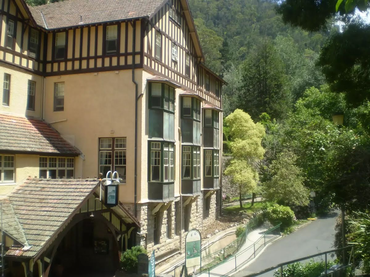
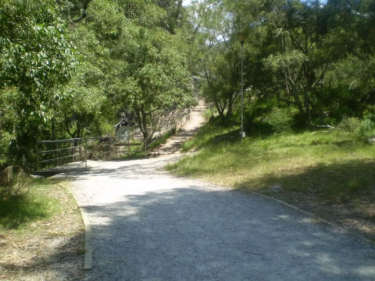
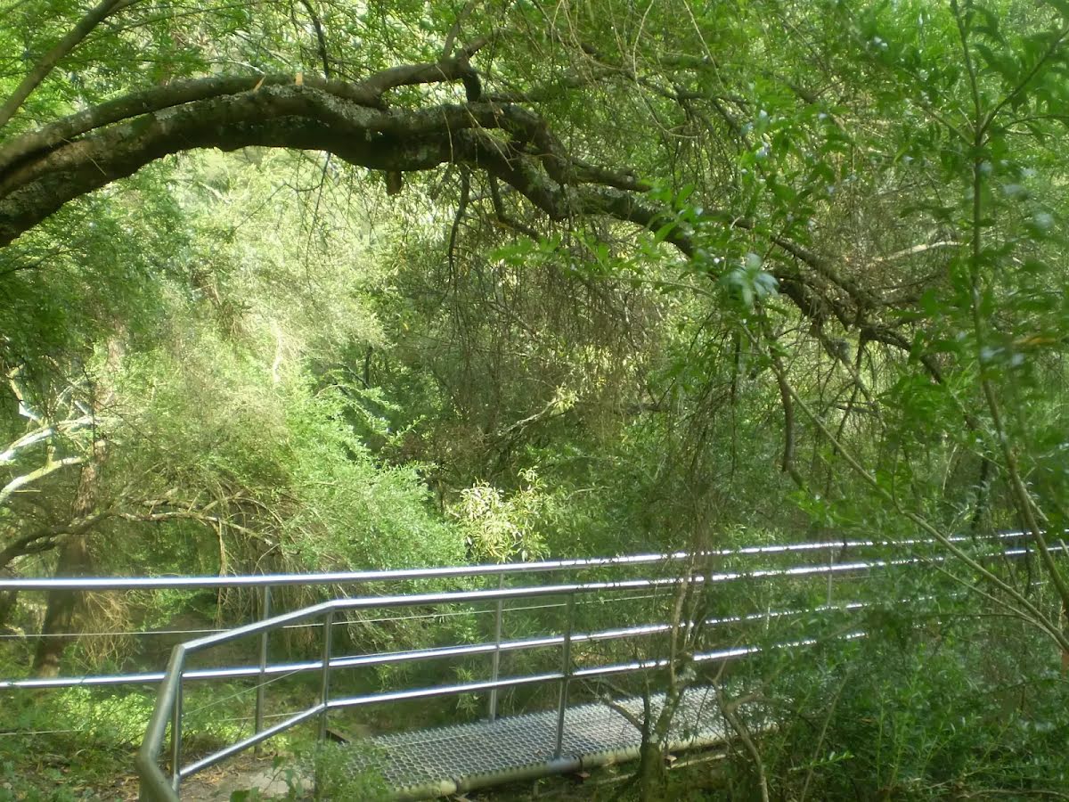
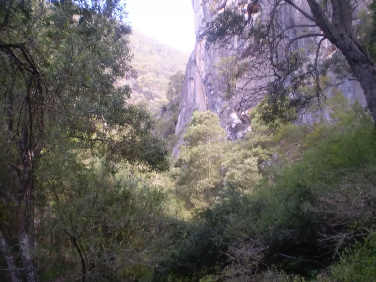
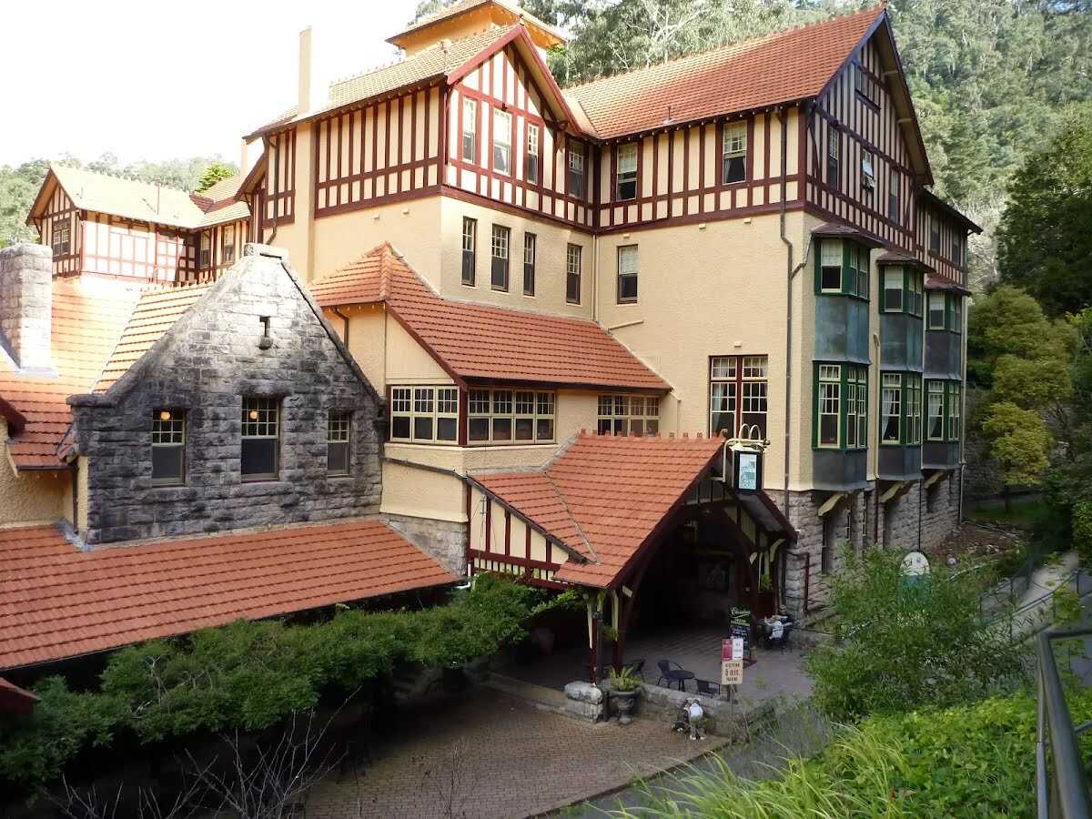
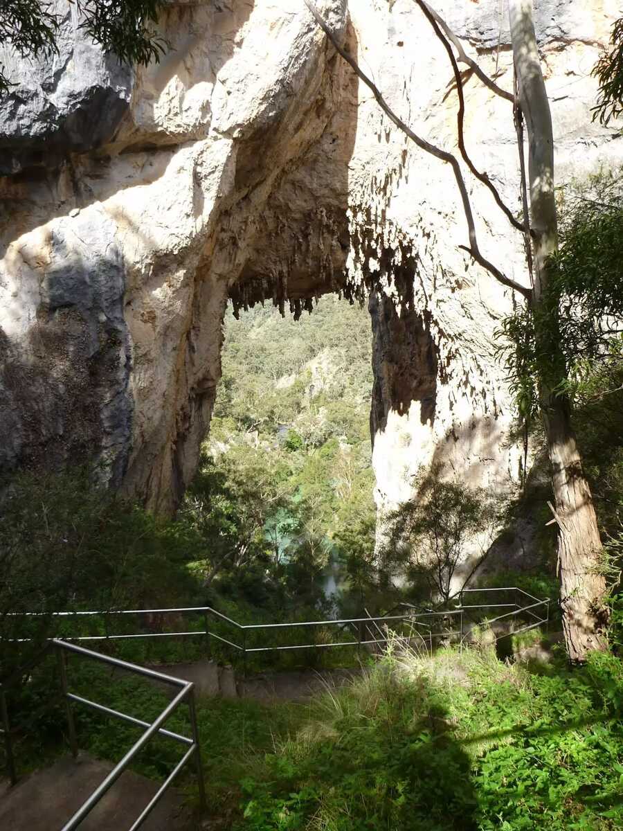
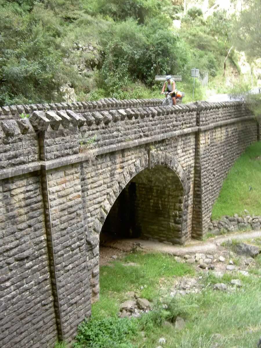
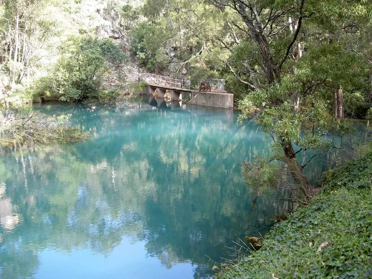
Closed parks: Park closed for major road repairsJenolan Karst Conservation Reserve is closed until 2026 while Transport for NSW repairs flood-damaged roads and landslips.
There is no access to Six Foot track via Jenolan Caves.
Penalties apply for non-compliance. For more information, contact the local NPWS office.
Alert kindly provided by © NSW Nataional Parks and Wildlife Service