Boyds Tower to Mowarry Point Lookout
Yuin Country

6 h to 7 h

18 km
return

↑ 549 m
↓ -549 m

Hard track
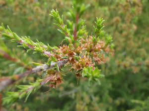
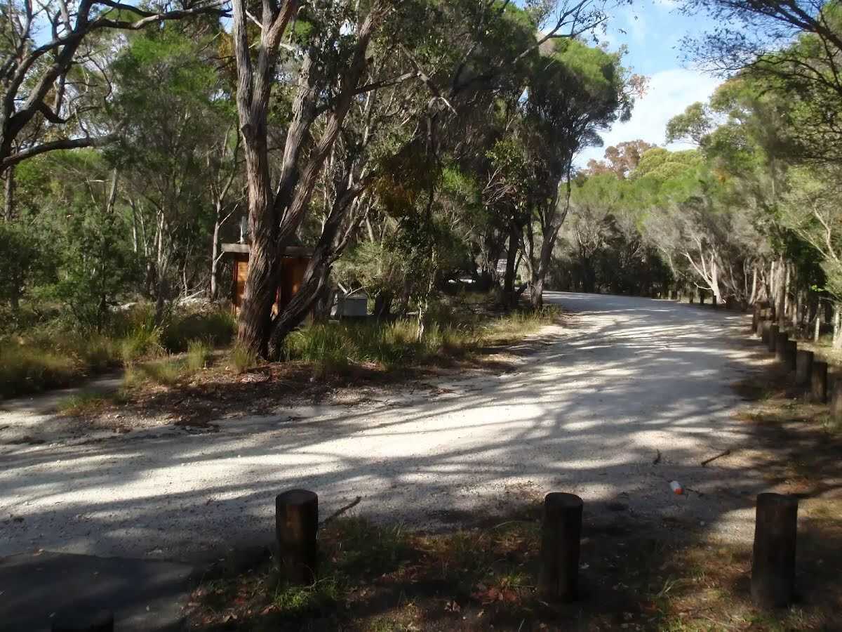
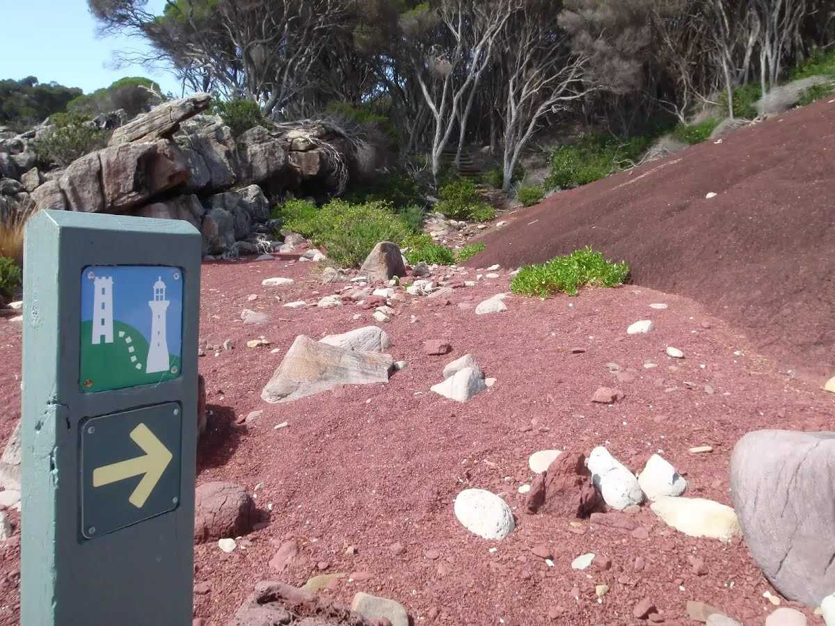
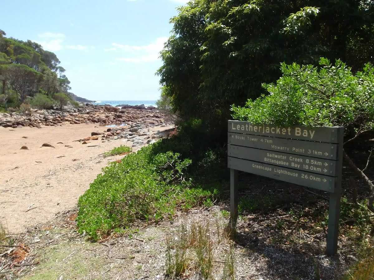
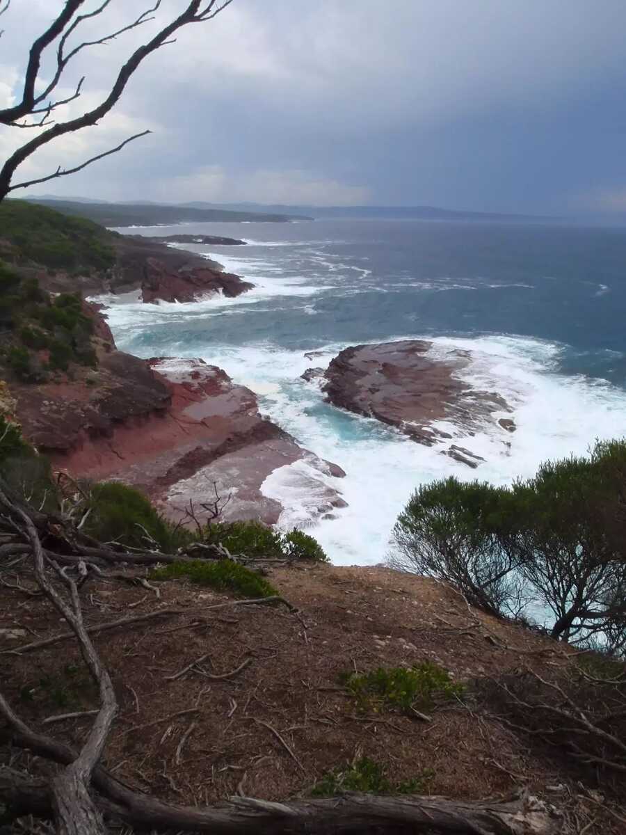
This longer day walk starts near Boyds Tower and heads to Mowarry Point, meandering down the coast of Ben Boyd National Park. On the way there are plenty of picturesque coastline views, with the stark red rock forming a great contrast. Views of Boyds Tower and of the coastal rocks are common along the walk as it passes through Red Sands and Leather Jacket bays. Approaching Mowarry Point is an open grass land giving a perspective of how far you have walked (and need to walk back) from Boyds tower car park. A great way of exploring the first stage of the famous Light to Light walk in a day. Let us begin by acknowledging the Yuin people, Traditional Custodians of the land on which we travel today, and pay our respects to their Elders past and present. 
Show all
Photo by admin, 2009.
Coast Walk at Boyd Tower car park. | Photo by admin, 2009.
Information sign near Boyd Tower car park. | Photo by admin, 2009.
Views from side track. | Photo by admin, 2009.
View south of the coast. | Photo by admin, 2009.
One of many track markers bolted to trees. | Photo by admin, 2009.
One of many fallen trees across the track. | Photo by admin, 2009.
Boyd Tower from the Light to Light walk. | Photo by admin, 2009.
Bird sunning itself on the rock. | Photo by admin, 2009.
Boyd Tower from the Light to Light walk. | Photo by admin, 2009.
White post marking the track. | Photo by admin, 2009.
Rock folds in bay wall. | Photo by admin, 2009.
Red rock in red sands bay. | Photo by admin, 2009.
Arrow marker in red sands bay. | Photo by admin, 2009.
Service trail between red sands bay and Leather Jacket Bay. | Photo by admin, 2009.
Large ant north of Leather Jacket Bay. | Photo by admin, 2009.
Service trail from red sands bay to Leather Jacket Bay. | Photo by admin, 2009.
Arrow marker beside service trail. | Photo by admin, 2009.
Leather Jacket Bay. | Photo by admin, 2009.
Clearing behind Leather Jacket Bay. | Photo by admin, 2009.
Signposted above Leather Jacket Bay. | Photo by admin, 2009.
Small bridge over creek bed. | Photo by admin, 2009.
Walkers near Mowarry Point. | Photo by admin, 2009.
Mowarry Point car park. | Photo by admin, 2009.
Track through cut log. | Photo by admin, 2009.
Light to Light walk over a creek. | Photo by admin, 2009.
Track heading south up to Mowarry Point. | Photo by admin, 2009.
Mowarry Point signpost. | Photo by admin, 2009.
Arrow marker through grass land. | Photo by admin, 2009.
Arrow marker through the heath. | Photo by admin, 2009.
Heath. | Photo by admin, 2009.
Track through the thick bush to Mowarry Point. | Photo by admin, 2009.
View from Mowarry Point Lookout. | Photo by admin, 2009.
Map Notes Terrain Reviews Conditions More
Downloads GPX PDF

Some of the information and maps on this page was generated using data from the awesome © OpenStreetMap contributors.
Please see how you can embed some widgets, access data and other stuff to that might be helpful.