This is a great circuit walk that covers most of the walking tracks and sights in the upper section of the Rumbalara Reserve. There is some really nice forest walking and plenty of spots along the way offer fantastic views across various parts of Gosford and the surrounding hinterland. Note that the entrance gate on Dolly Ave, for the upper section of Rumbalara, is locked at 8pm each evening. Let us begin by acknowledging the Darkinjung & Guringai people, Traditional Custodians of the land on which we travel today, and pay our respects to their Elders past and present.
Before you start any bushwalk ensure you;
• Tell someone you trust where you are going and what to do if you are overdue
• Have adequate equipment, supplies, skills & knowledge for the whole journey
• Consider the impact of weather forecasts, park/track closures & fire dangers
• Can respond to emergencies & call for help at any point
• Are healthy and fit enough for this journey
If not, change plans and stay safe. It is okay to delay and ask people for help.
At roundabout, take exit 2 onto Wells Street and drive for another 700 m
At roundabout, take exit 2 onto Wells Street and drive for another 810 m
At roundabout, take exit 1 onto Springfield Road and drive for another 260 m
Turn left onto Dolly Avenue and drive for another 350 m
Continue onto Dolly Avenue and drive for another 1.4 km
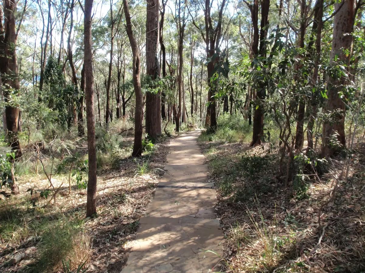
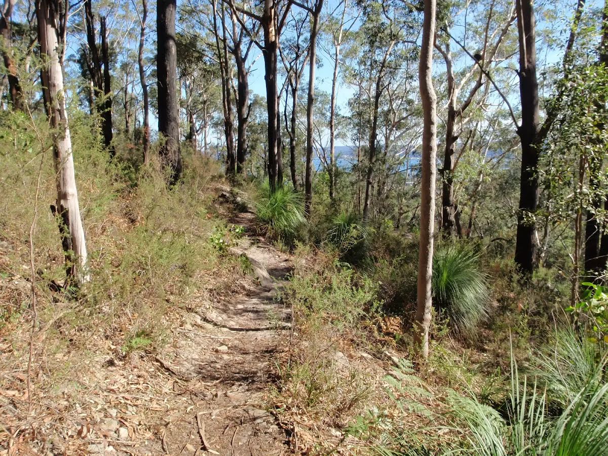
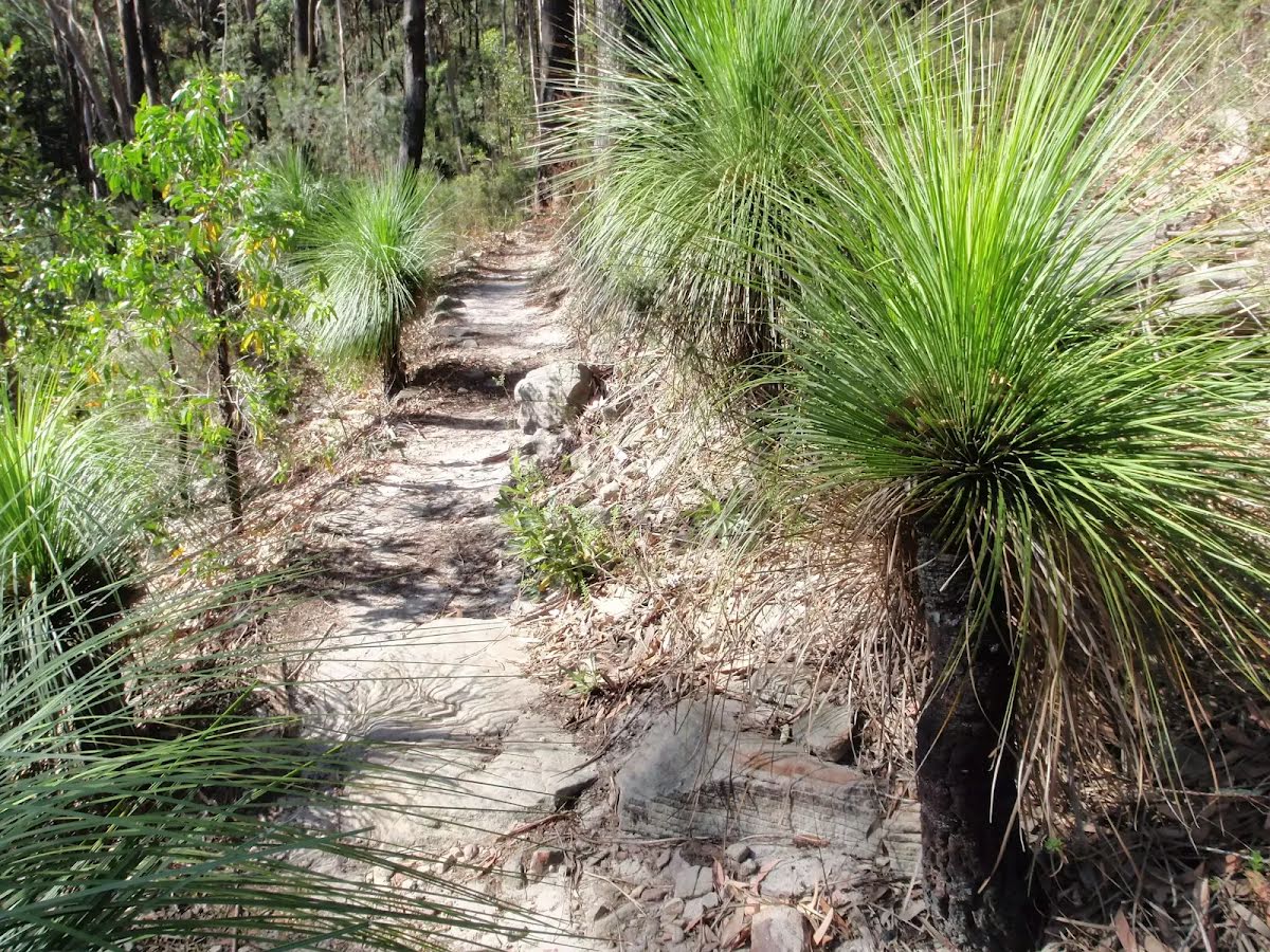
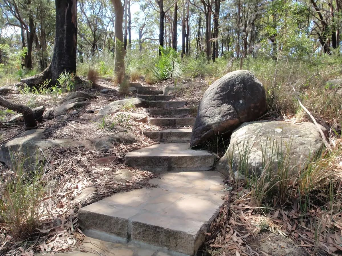
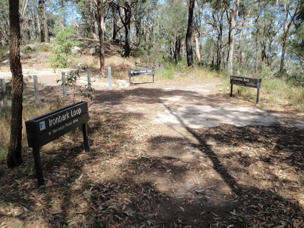
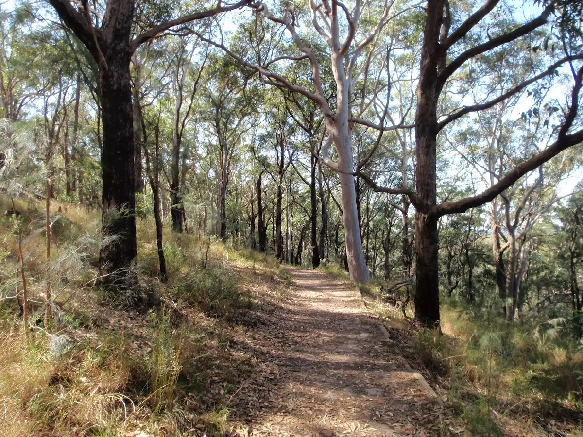
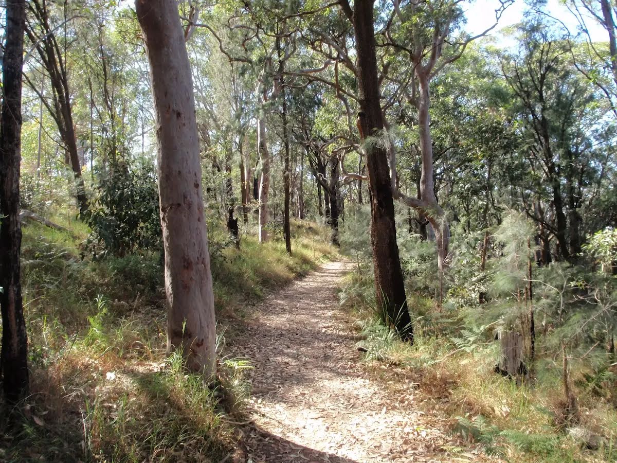
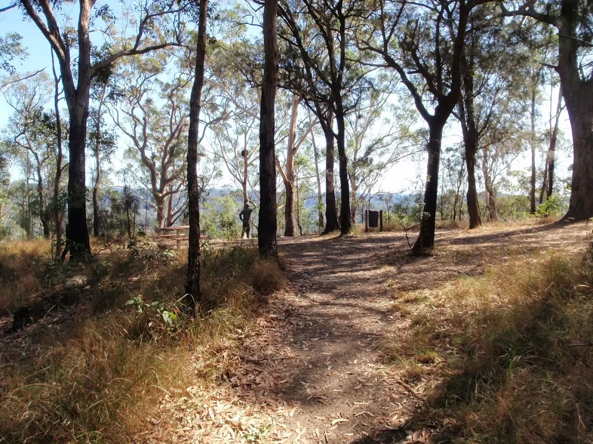
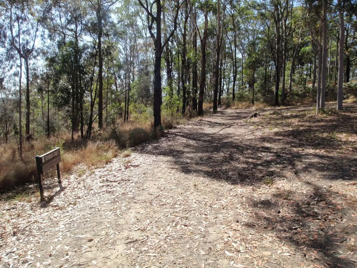
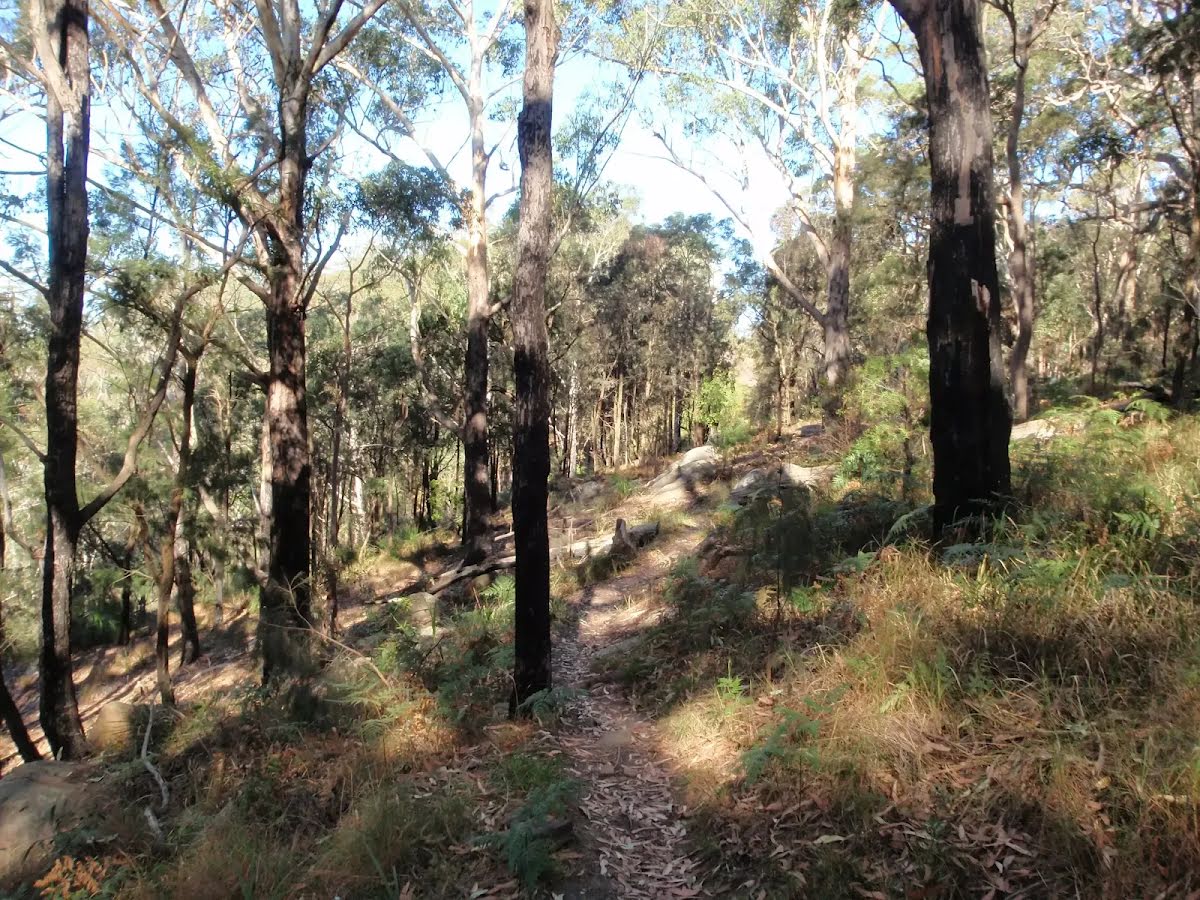
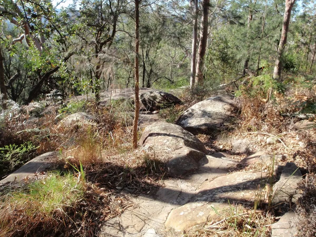
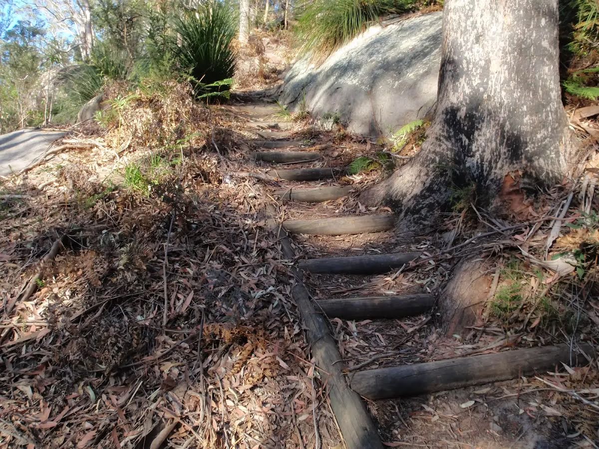
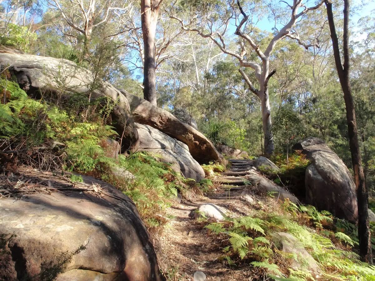
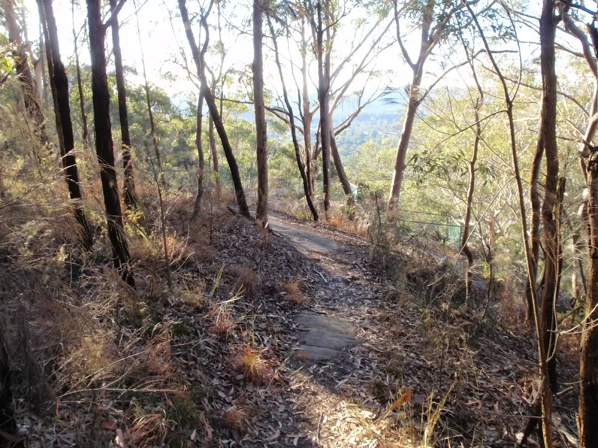
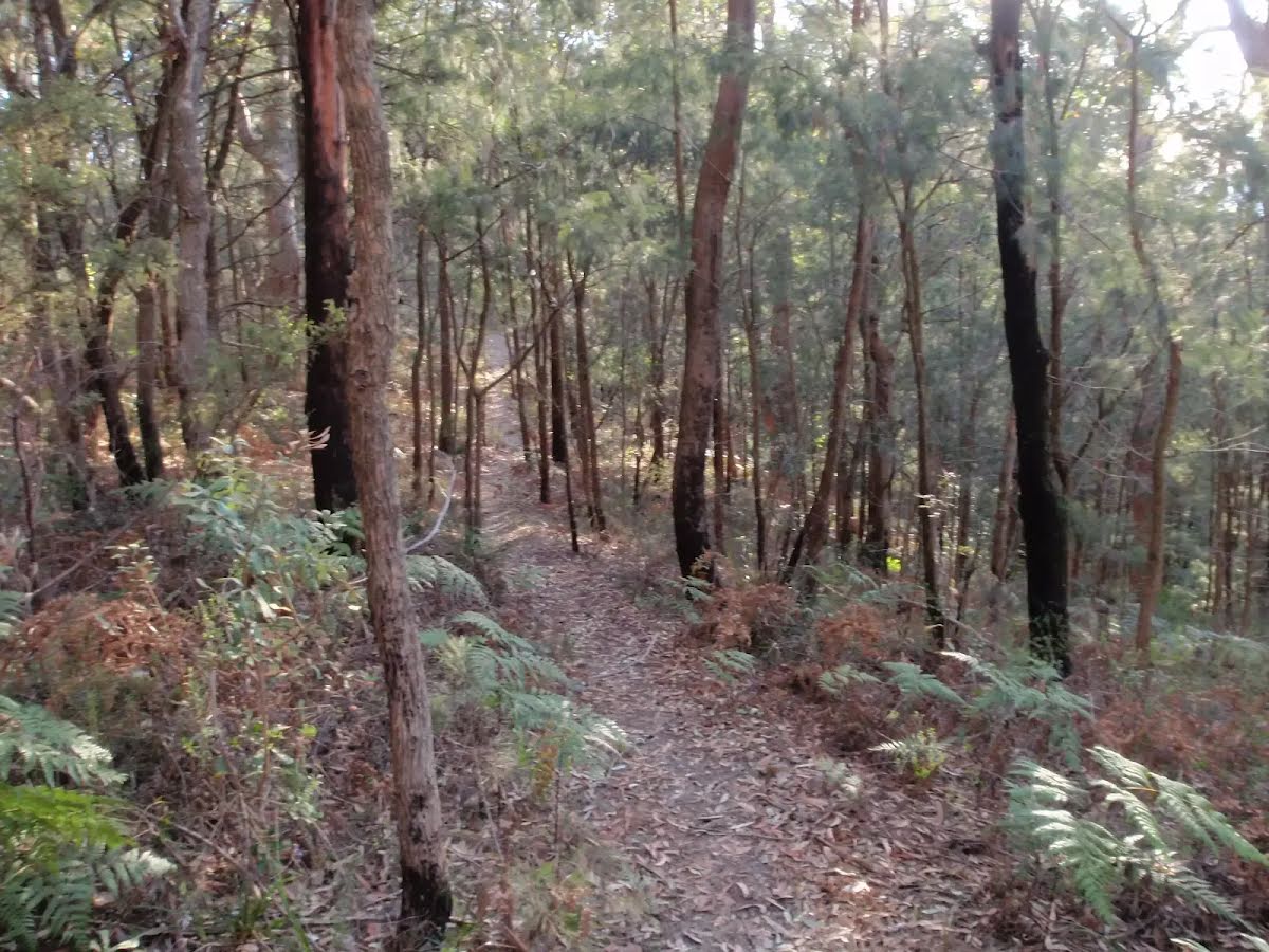
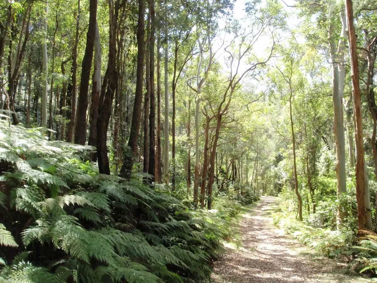
Getting started From the BBQs, this walk goes across the picnic area, keeping the road to the right. The walk passes the information board, to the left, and follows the paved path toward the nearby toilet block. The walk turns left just before the toilet block and follows the 'Nurrunga Picnic Area' arrow down the paved steps and along the bush track. The walk descends gently for a while with numerous sandstone steps, then meanders around the side of the hill, for some distance. Ignoring a bush track, to the left, and another soon after, to the right, the walk continues for some distance until reaching an intersection with a management trail, with a 'Flannel Flower Track' signpost pointing back to the 'Yaruga Picnic Area'.....
Turn map
Directions & comments
From the Rumbalara Lookout Road Start (a footpath).
After 55 m pass the car park (10 m on your left).
After another 40 m find the "Rumbalara Reserve Flora and Fauna" (20 m on your left).
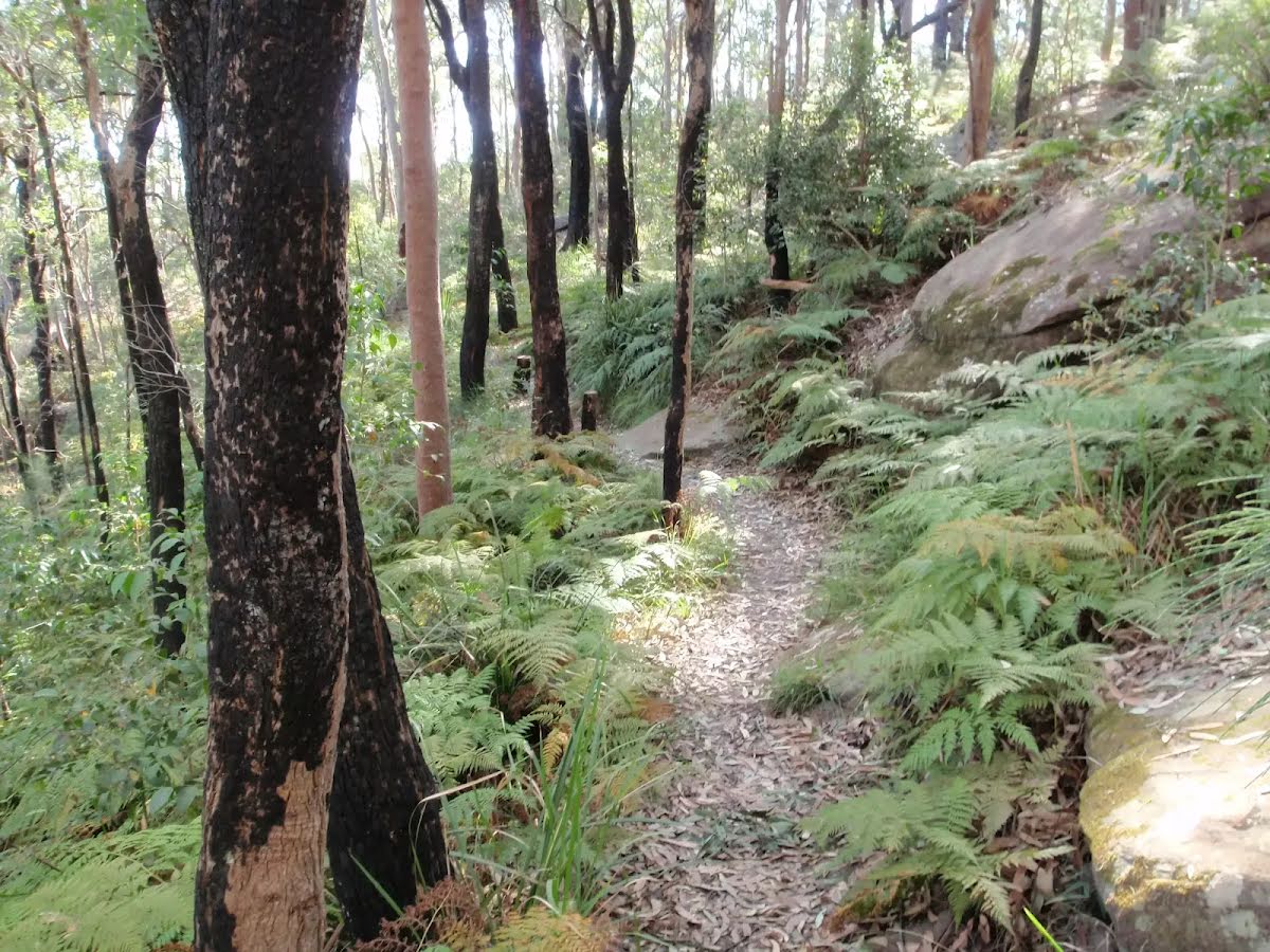
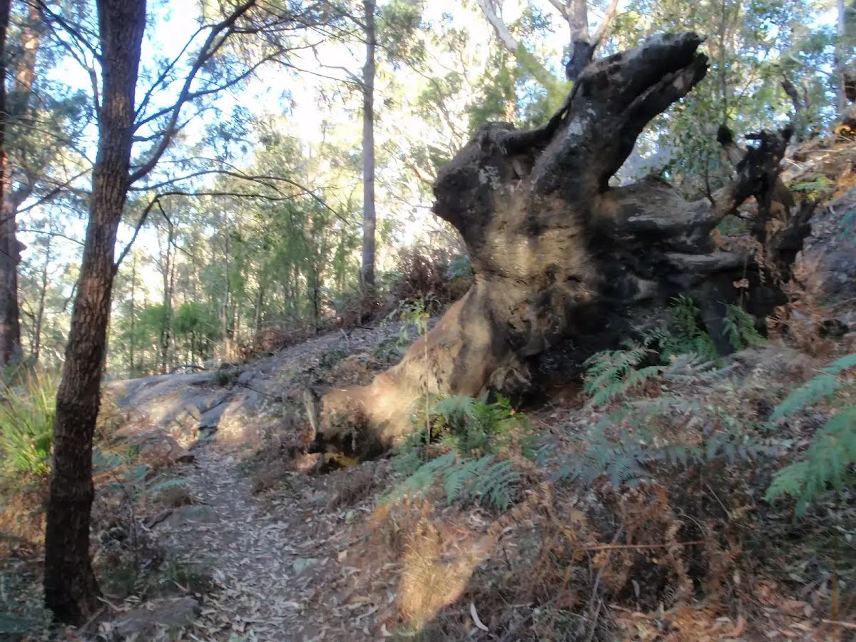
The reserve is home to a wide range of flora and fauna. The vegetation types range from the relatively dry 'Coastal Narrabeen Ironbark Forest' to pockets of 'Coastal Warm Temperate Rainforest'. Commonly seen birds include Kookaburras, Eastern Rosellas and Magpies. Rarer birds such as the Glossy Black Cockatoo and Swift Parrot are sometimes sighted here as well. Sugar Gliders, Brush-tailed possums, Blue-tounged lizards and Tree snakes can be seen in the reserve if you are patient and lucky enough.
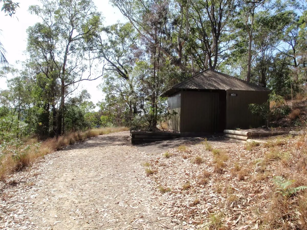
Then pass the toilet (15 m on your right).
After another 210 m (Very Steep Rocky path) continue straight, to head along Flannel Flower walk.
After another 160 m (from the Flannel Flower walk) continue straight, to head along Flannel Flower walk.
After another 245 m (from the Flannel Flower walk) turn left (a vehicle track).
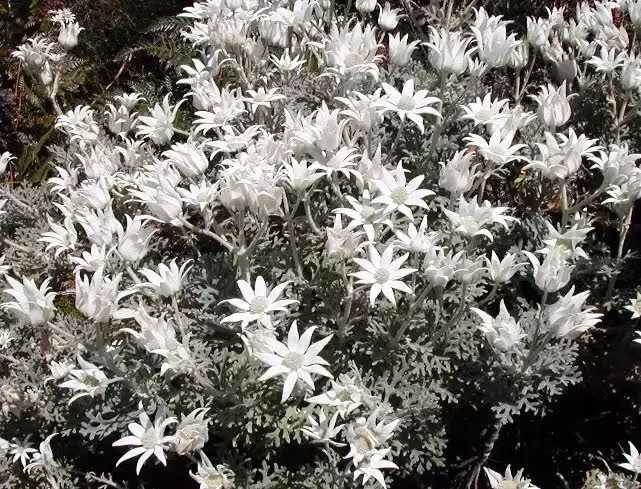
After another 120 m find the "Flannel Flower" (10 m on your right).
Actinotus helianthi, popularly known as the Sydney flannel flower, is frequently spotted by spring-time bushwalkers in the Sydney region. Generally growing up to 50 cm, the stem, branches and leaves of the plant are a pale grey in colour, covered in downy hair (rather like flannel in texture).
Turn right.
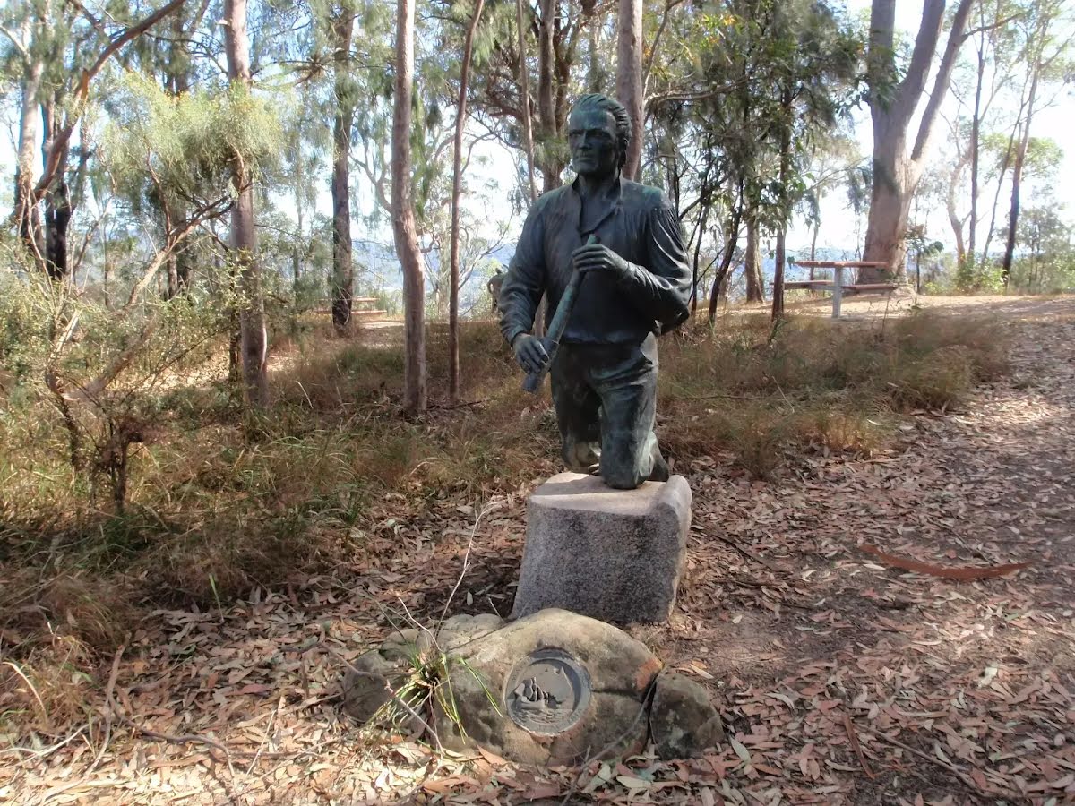
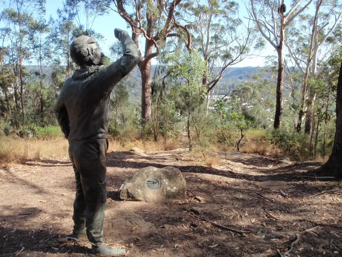
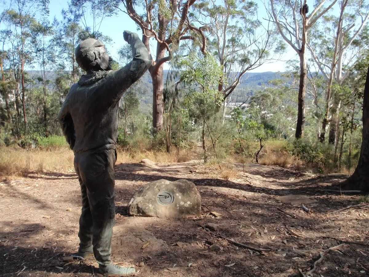
After another 25 m pass the "Statue" (140 m on your left).
After another 170 m turn left.
After another 30 m find the "Rumbalara Reserve" (15 m on your right).
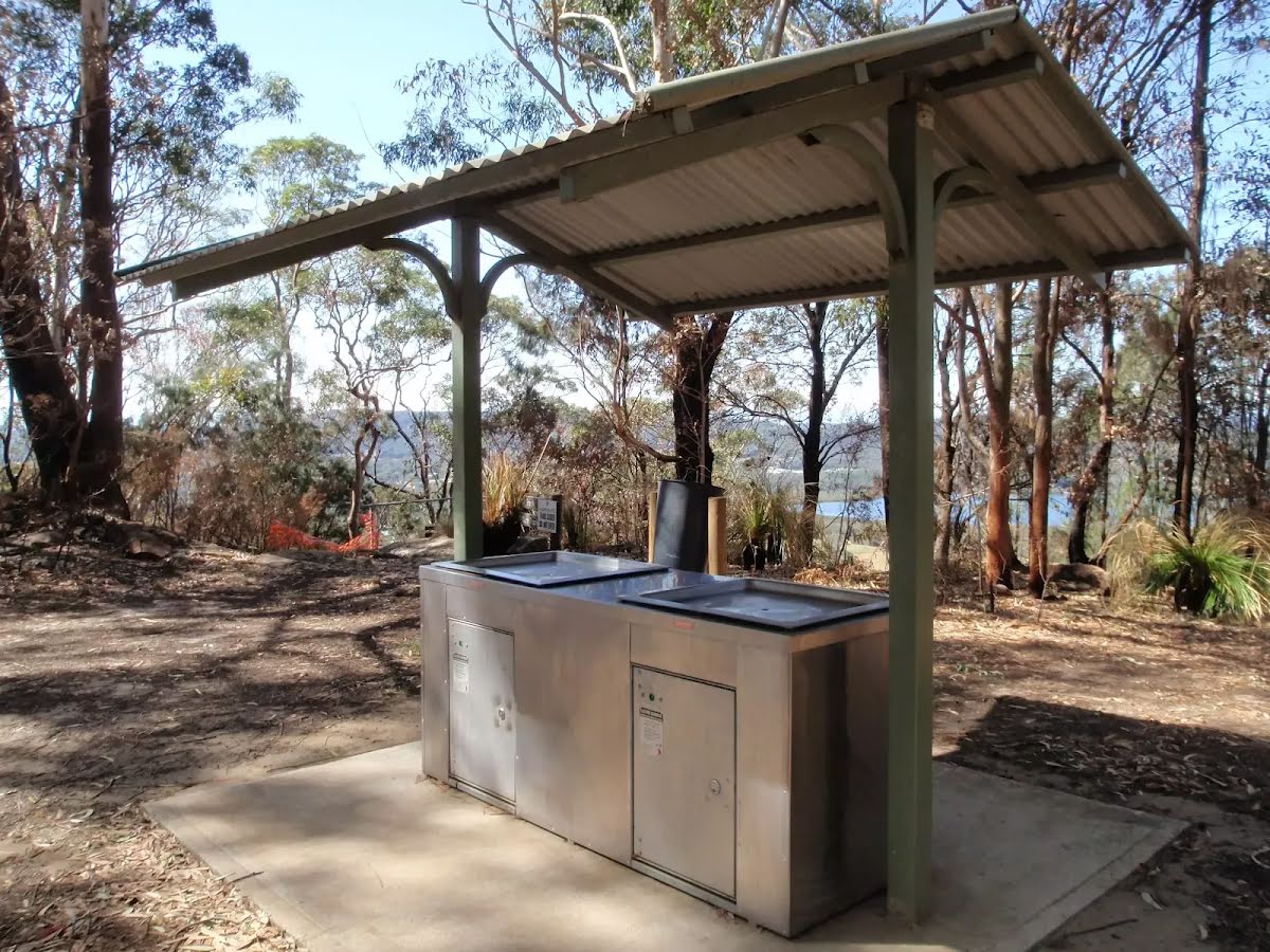
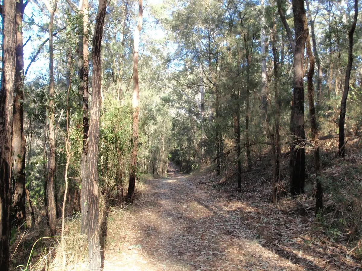
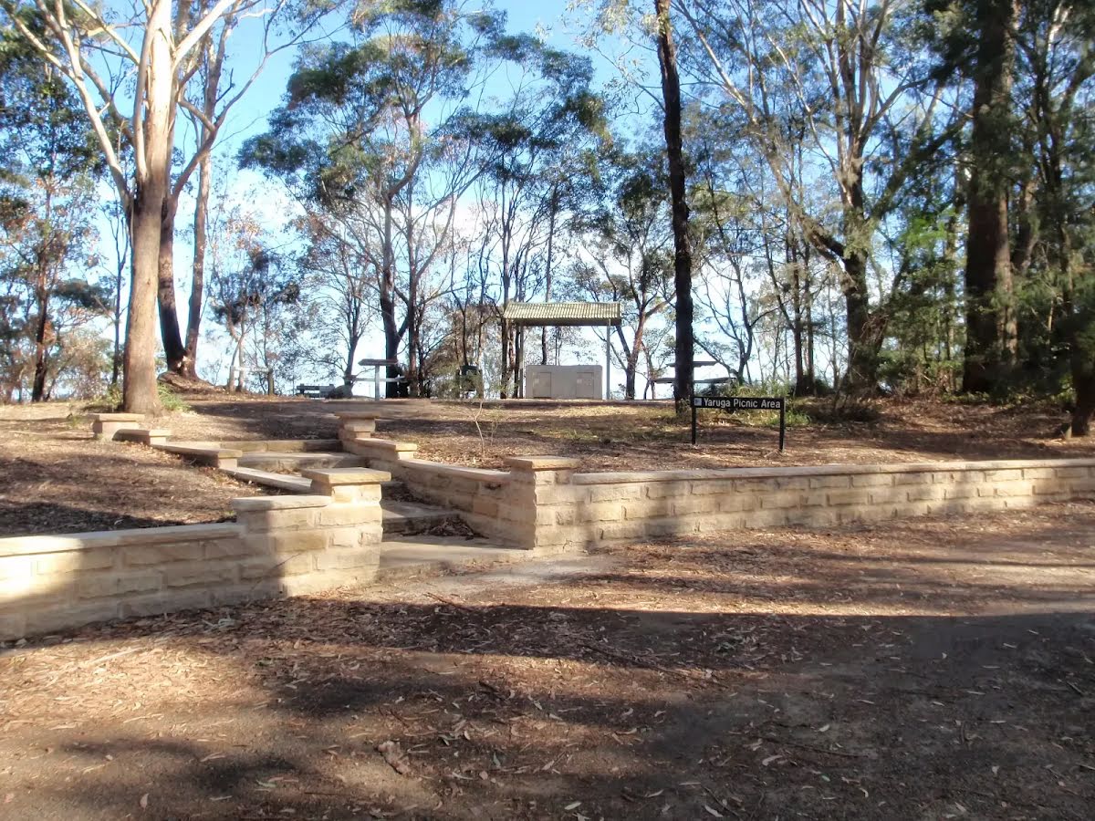
Rumbalara Reserve lies just to the east of the Gosford CBD and is part of Gosford's Coastal Open Space System (COSS). There is an extensive set of well marked walking tracks within the reserve. Yaruga Picnic Area has free electric BBQs while both Yaruga and Nurrunga picnic areas have toilets, picnic tables, nearby lookouts and proximity to walking tracks. The picnic areas are accessed via Dolly Ave, Springfield, with the gate being locked at 8pm each evening. The Rumbalara Environmental Education Centre, at the end of Donnison St, Gosford, is one of several good access points to the walking tracks in the lower section of the reserve.
After another 30 m continue straight.
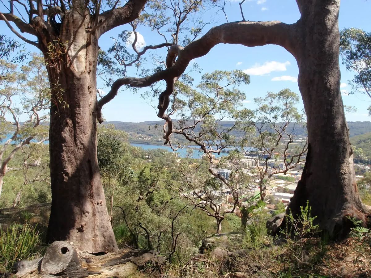
After another 95 m pass the summit (50 m on your right).
After another 65 m pass the "Statue" (9 m on your left).
After another 50 m come to the "Nurrunga Point" (30 m on your left).
Then find the "Sculptures in Rumbalara" (10 m on your left).
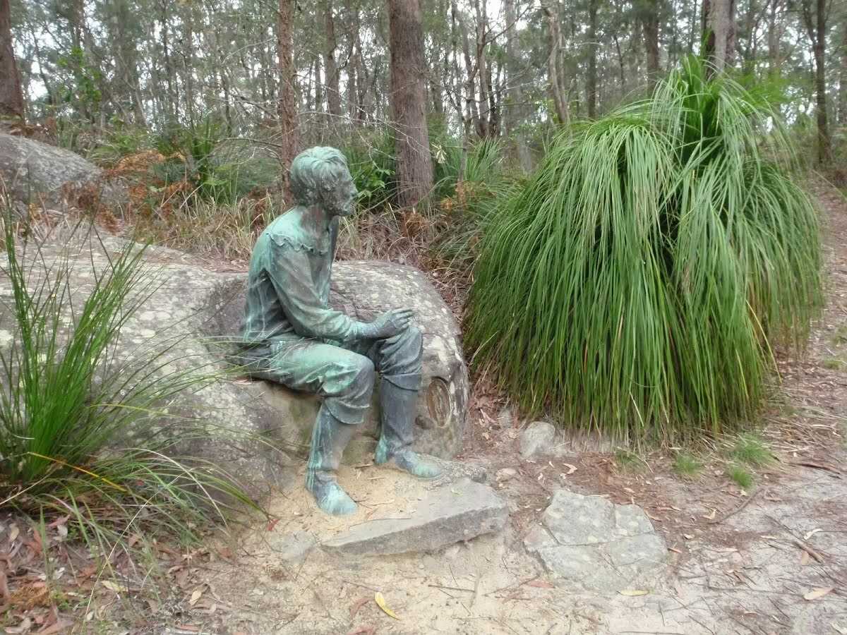
There are four bronze figurative sculptures in the Rumbalara Reserve that were 'commissioned in the series "Salute to Famous Australians", which includes Captain Charles Sturt, Edward Eyre, and Sir Charles Kingsford Smith.' Matthew Flinders is the fourth in the series. They were 'commissioned by Sara Lee Kitchens (Australia) Pty Ltd and Gosford City Council for the State Bicentennial Celebrations 1987.'. Smith and Flinders are the most easily reached, at the Nurrunga picnic area.
Then pass the "Statue" (15 m on your left).
After another 105 m pass the toilet (8 m on your right).
After another 85 m (from the Rumbalara Lookout Road) veer left, to head along Rumbalara Lookout Road (a vehicle track).
After another 35 m (from the Rumbalara Lookout Road) veer left (a walking track).
After another 165 m (from the Fire Trail) veer right, to head along Fire Trail (a vehicle track).
After another 135 m (from the Fire Trail) continue straight, to head along Fire Trail.
After another 240 m (from the Fire Trail) turn left (a walking track).
After another 205 m turn right.
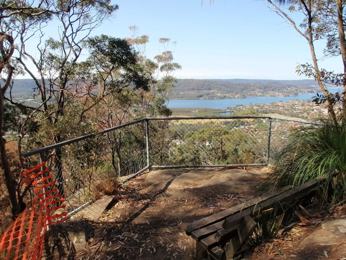
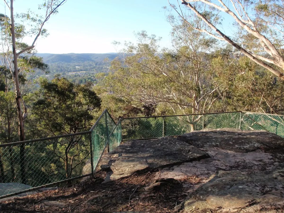
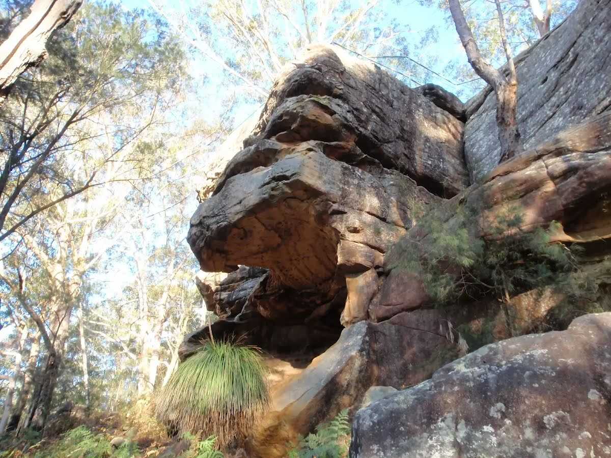
After another 255 m find the "Wannagan Lookout" (6 m on your left).
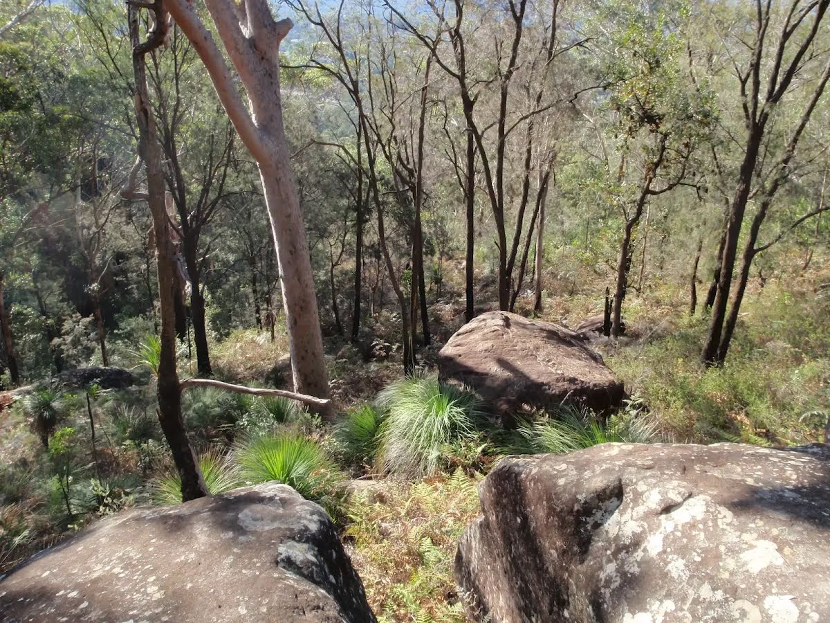
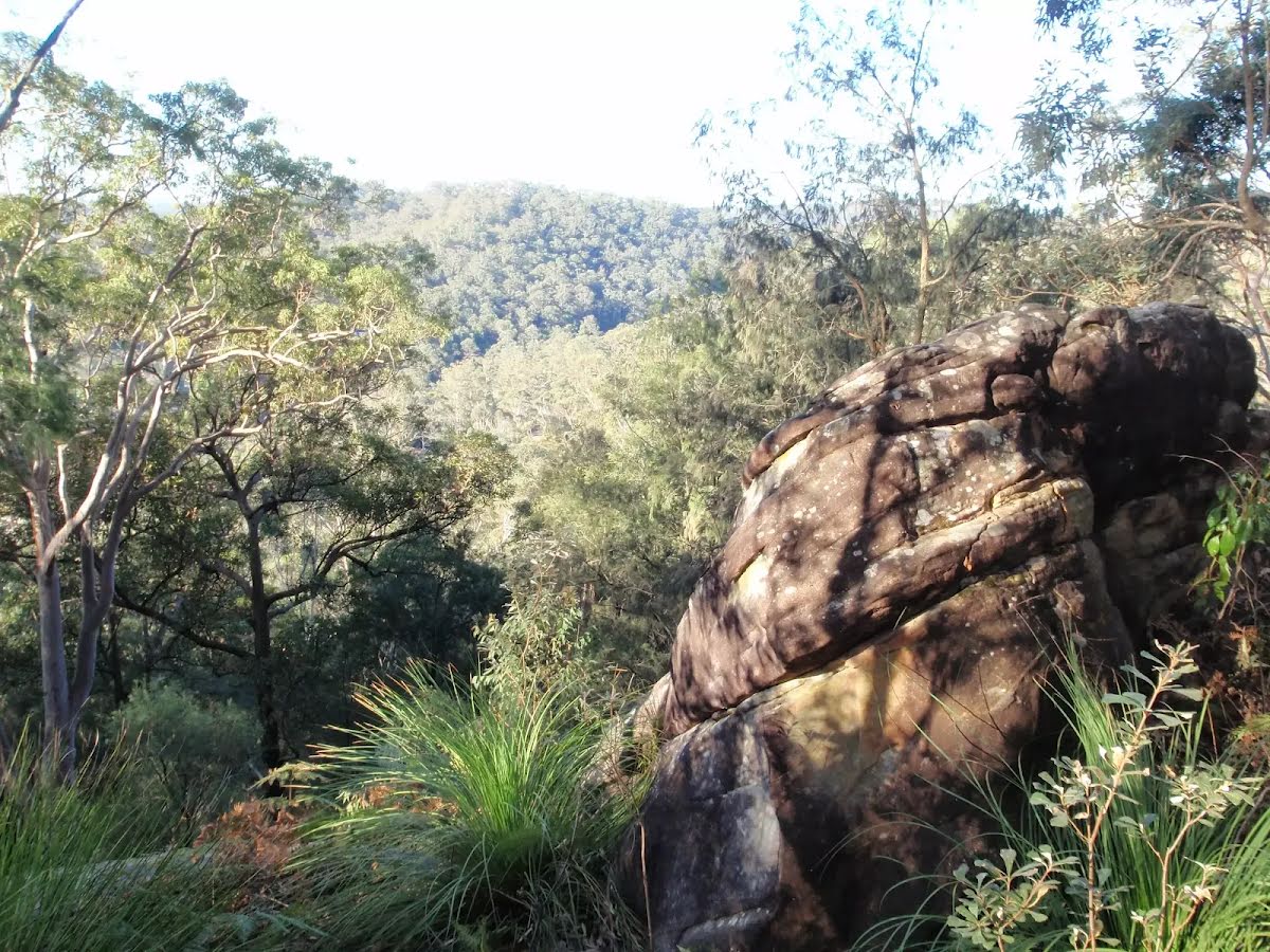
The fenced Wannagan Lookout, on the Red Gum Walk, has great views over North Gosford. The fenced lookout sits at the top of a small cliff. Out of sight, beneath the lookout, is some great cliff and overhang scenery.
The starting point of an optional sidetrip. An optional side trip to Sculpture of Edward John Eyre. To start this optional side trip turn left here. On returning from this side trip continue straight when you get back to this intersection. Details below.
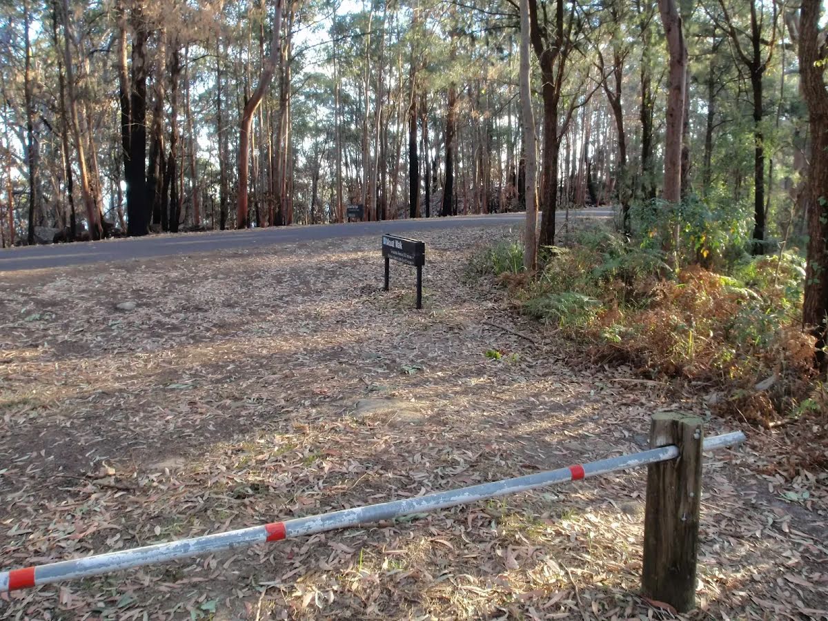
After another 225 m (from the Mouat Walk) turn right, to head along Mouat Walk.
After another 45 m (at the intersection of Rumbalara Lookout Road & Mouat Walk) veer right, to head along Rumbalara Lookout Road (a vehicle track).
After another 115 m (from the Rumbalara Lookout Road) continue straight, to head along Rumbalara Lookout Road.
After another 140 m come to the viewpoint (25 m on your left).
After another 80 m (at the intersection of Fire Trail & Rumbalara Lookout Road) continue straight, to head along Rumbalara Lookout Road.
After another 155 m (from the Rumbalara Lookout Road) continue straight, to head along Rumbalara Lookout Road.
After another 85 m come to the end.
An optional side trip to Sculpture of Edward John Eyre.
Turn map
Directions & comments
From the Mouat Walk Start heading along Mouat Walk (a walking track).
After 175 m find the "Edward John Eyre" (20 m on your left).
The Sculpture of Edward John Eyre is found near the southern end of the Mouat Trail in Rumbalara Reserve. Commissioned by Sara Lee Kitchens and the State Bicentennial Commission, this 1.25 scale figurative work was sculptured by Carl Merten. A circular inscription at the base declares this to be 'Edward John Eyre 1815-1901'. Eyre is one of Australia's more famous explorers. A father of 5, he was awarded the founder's gold medal from the Royal Geographical Society in 1847. In 1841, Eyre was appointed as resident magistrate and protector of Aborigines. He summed up his work like this -
"Moorundie was a District densely populated by Natives and in which prior to 1841 no settler had ventured to locate, and where (before I was stationed there) frightful scenes of bloodshed, rapine and hostility between the Natives and Parties coming overland with Stock had been of very frequent occurrence, but where, from the time of my arrival, and up to the date of my leaving not a single case of serious injury or aggression ever took place on the part of the Natives against the Europeans, whilst the district became rapidly and extensively occupied by Settlers and by Stock".
Eyre also served as lieutenant-governor for New Zealand, lieutenant-governor for St Vincent (West Indies), governor for Leeward Islands, governor for Antigua and governor-in-chief for Jamaica.
Then pass the "Statue of Edward John Eyre" (45 m on your left).
After another 35 m come to the end.
Turn around and retrace your steps back the 210 m to the main route.
Upper Rumbalara Circuit
Grading
Class 4/6
Hard track
Length
3.2 km
Time
1 h 30 min to 3 h
Quality of track
Formed track, with some branches and other obstacles (3/6)
Gradient
Short steep hills (3/6)
Signage
Minimal directional signs (4/6)
Infrastructure
Limited facilities, not all cliffs are fenced (3/6)
Experience Required
Some bushwalking experience recommended (3/6)
Weather
Weather generally has little impact on safety (1/6)
Some facilities on route
Toilet: There are 2 on route, on average they are 1.1 km apart with the largest gap of 2 km.
Sunny. Winds northwesterly 15 to 25 km/h. Daytime maximum temperatures between 16 and 20.
UV Alert: Sun protection 11:50am to 12:50pm, UV Index predicted to reach 3 [Moderate]
Thursday 10 July
9°C → 17°C
Windy. Partly cloudy. 10% chance of rain
Partly cloudy. Medium chance of showers about the Upper Hunter, slight chance elsewhere. Snow possible above 1200 metres. Winds northwesterly 20 to 30 km/h increasing to 30 to 45 km/h in the morning then turning westerly 35 to 50 km/h in the early afternoon. Overnight temperatures falling to between 6 and 9 with daytime temperatures reaching between 11 and 17.
Friday 11 July
7°C → 18°C
Sunny. 10% chance of rain
Mostly sunny. Winds west to northwesterly 25 to 35 km/h. Overnight temperatures falling to between 3 and 8 with daytime temperatures reaching between 13 and 18.
Saturday 12 July
7°C → 19°C
Partly cloudy. 10% chance of rain
Mostly sunny. Winds west to northwesterly 15 to 20 km/h becoming light during the day. Overnight temperatures falling to between 2 and 8 with daytime temperatures reaching between 15 and 19.
Sunday 13 July
6°C → 20°C
Sunny. 10% chance of rain
Sunny.
Monday 14 July
9°C → 18°C
Partly cloudy. 20% chance of rain
Partly cloudy.
Tuesday 15 July
8°C → 18°C
Possible shower. 40% chance of rain 0 → 1mm