| Start | From the Brush Creek Road (-33.142763,151.2562475) |
| Mode | Car (There is free parking available.) |
| Directions | From George Downes Drive, 33
|
| Finish | (-33.1038846,151.2306714) |
| Mode (end) | Car Shuttle Car (There is free parking available.) |

|
|
Class 4/6 Hard track |
|---|---|
| Length | 8.6 km |
| Time | 4 h to 6 h |
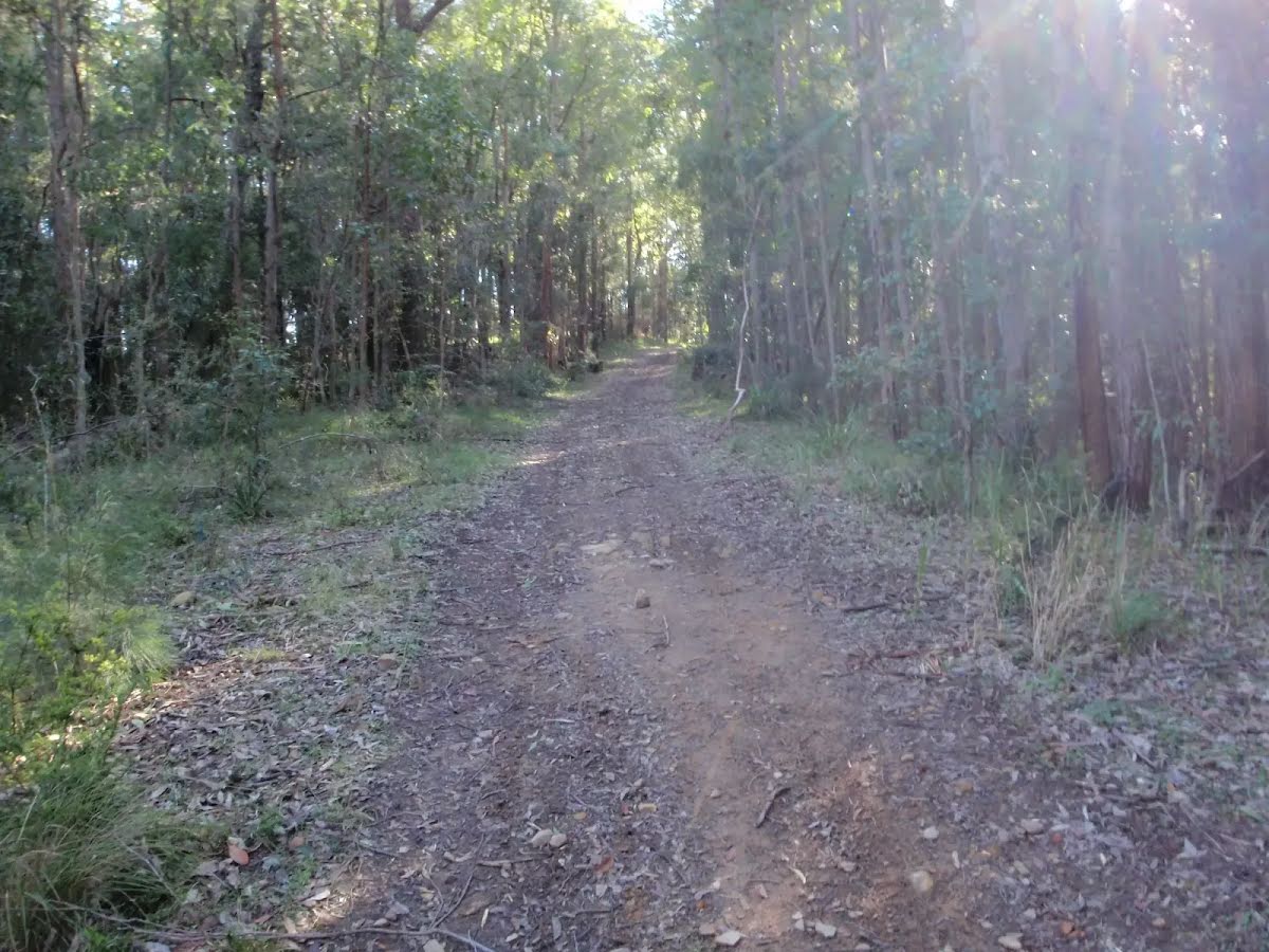
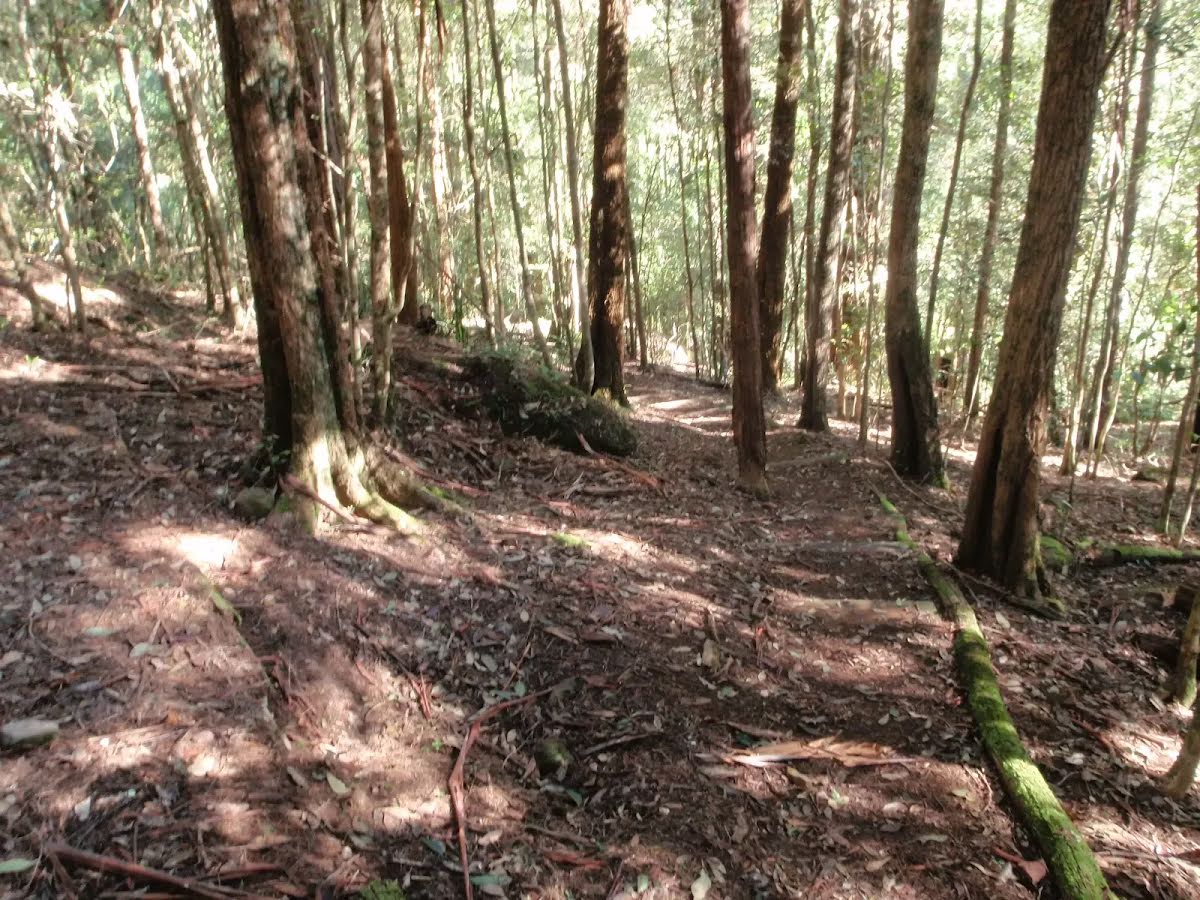
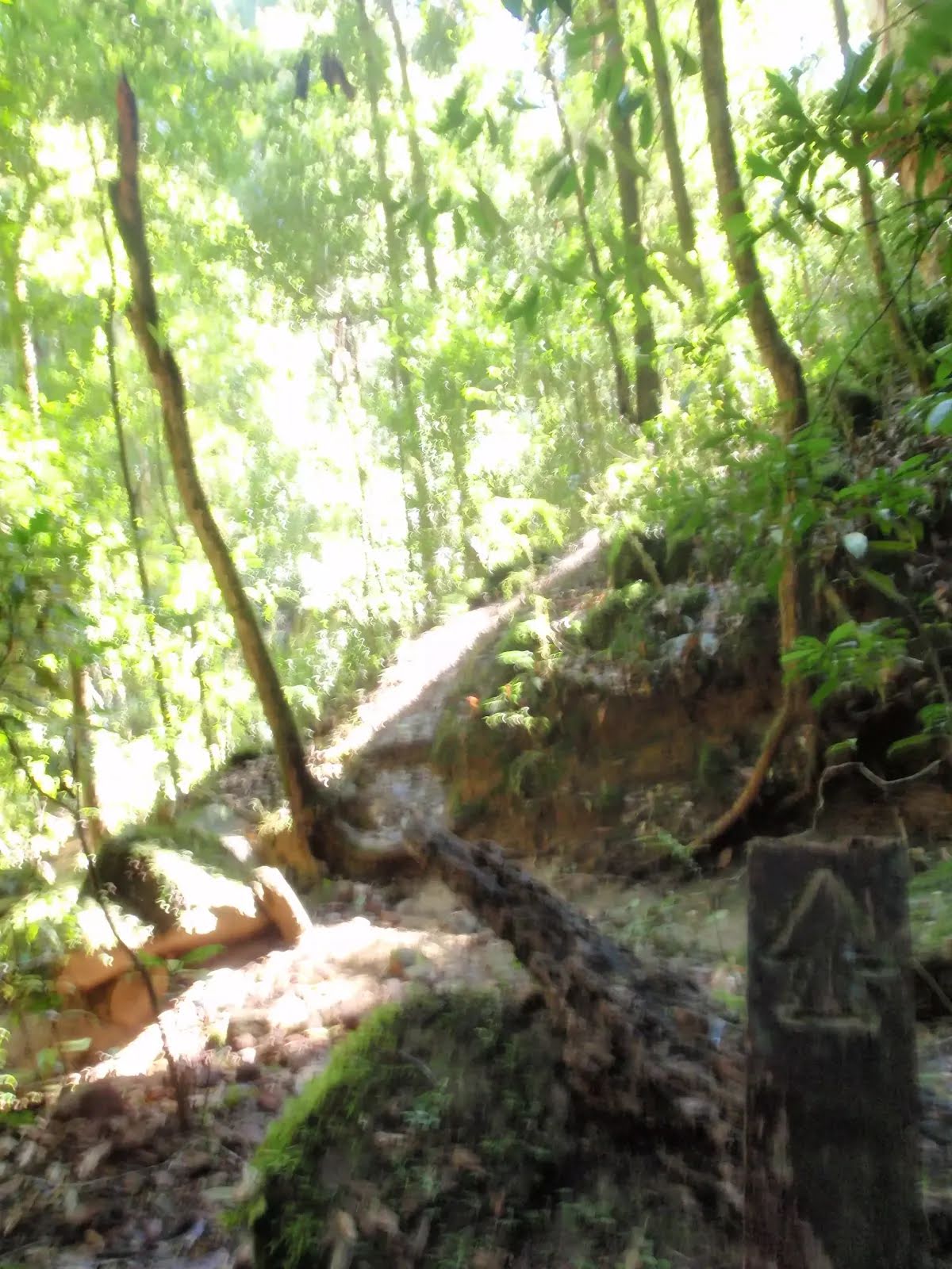
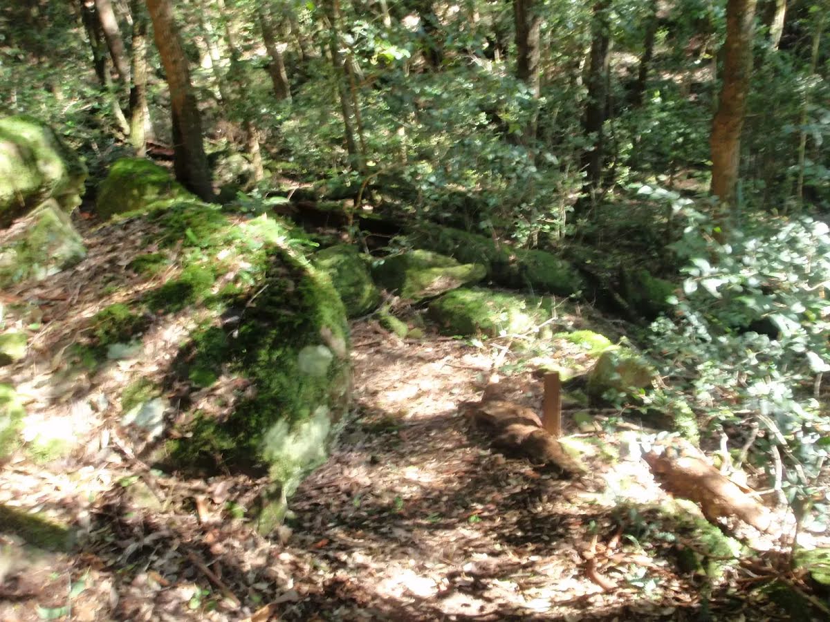
| Quality of track | Formed track, with some branches and other obstacles (3/6) |
| Gradient | Very steep (4/6) |
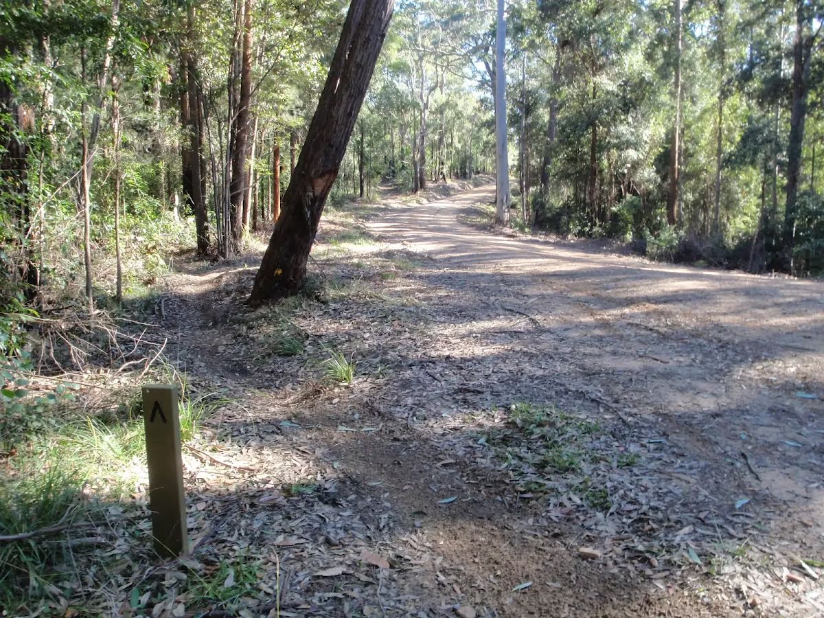
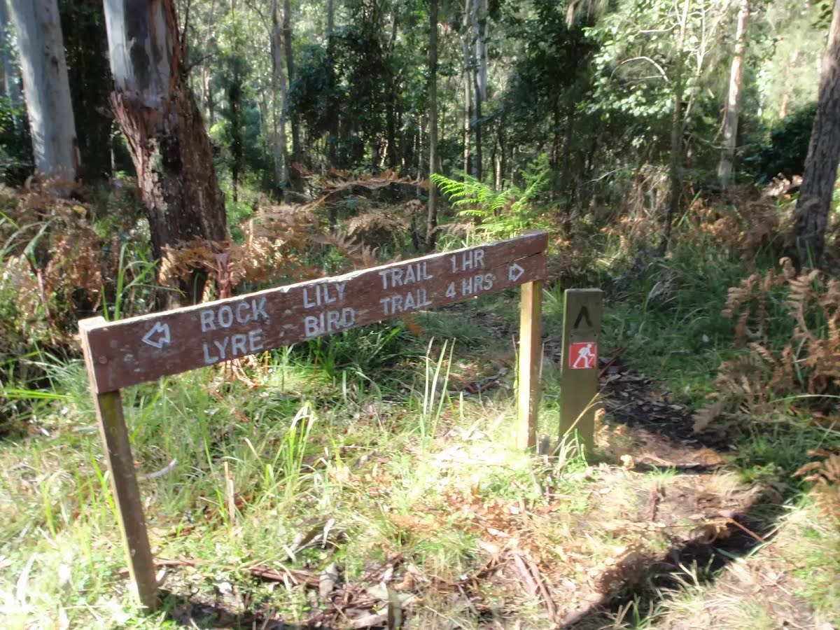
| Signage | Directional signs along the way (3/6) |
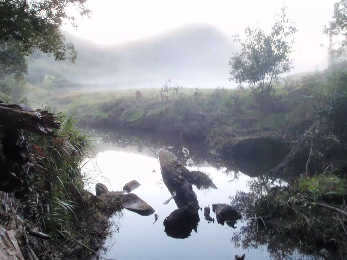
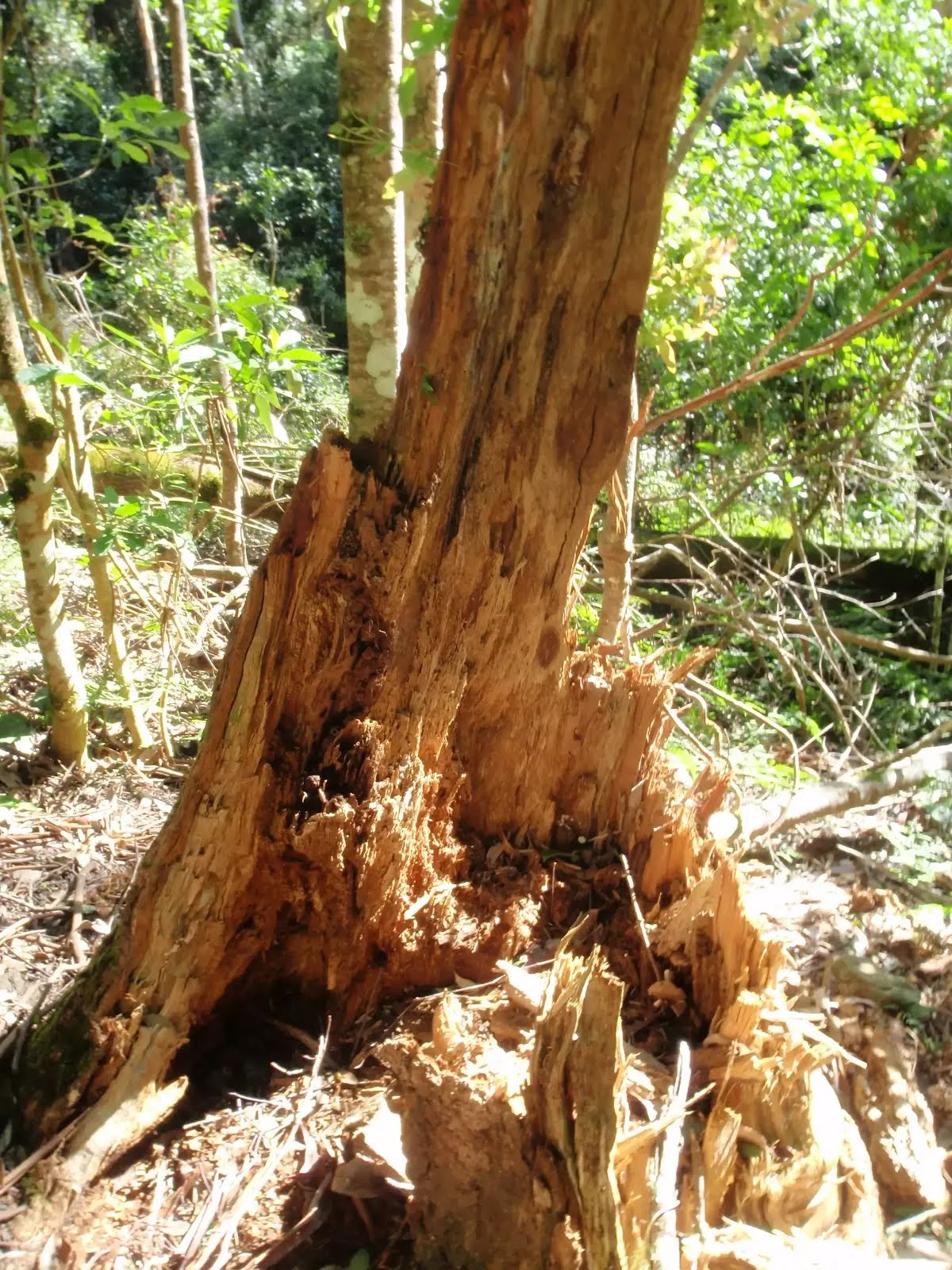
| Infrastructure | Limited facilities (such as cliffs not fenced, significant creeks not bridged) (4/6) |
| Experience Required | Some bushwalking experience recommended (3/6) |
| Weather | Weather generally has little impact on safety (1/6) |
| Item | From Start | Name & link to notes |
|---|---|---|
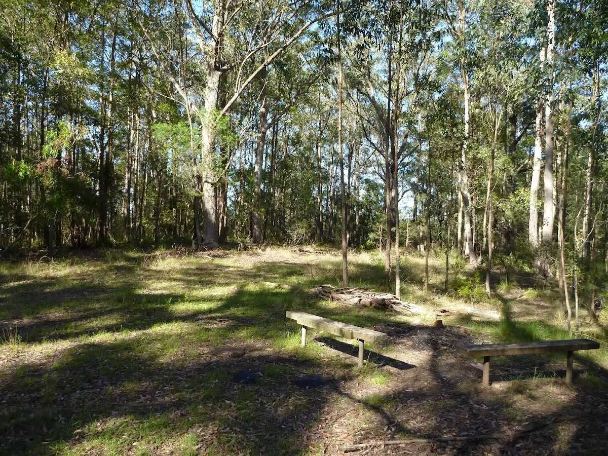
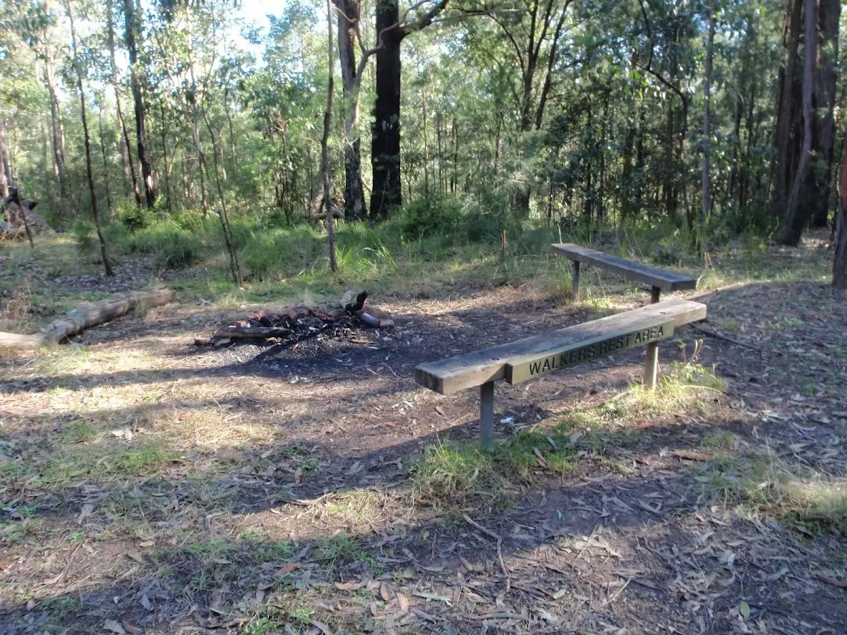
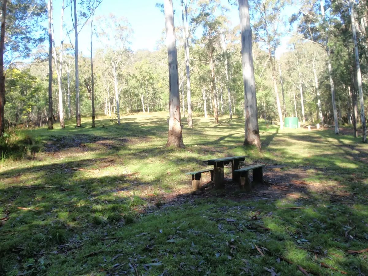
Campsite
| 1.9 km | Walkers Rest Area |
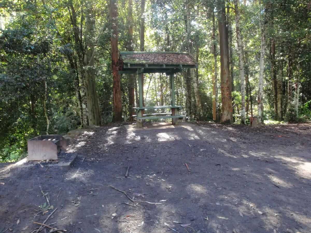
Camp site
| 1.9 km | [camp site] |
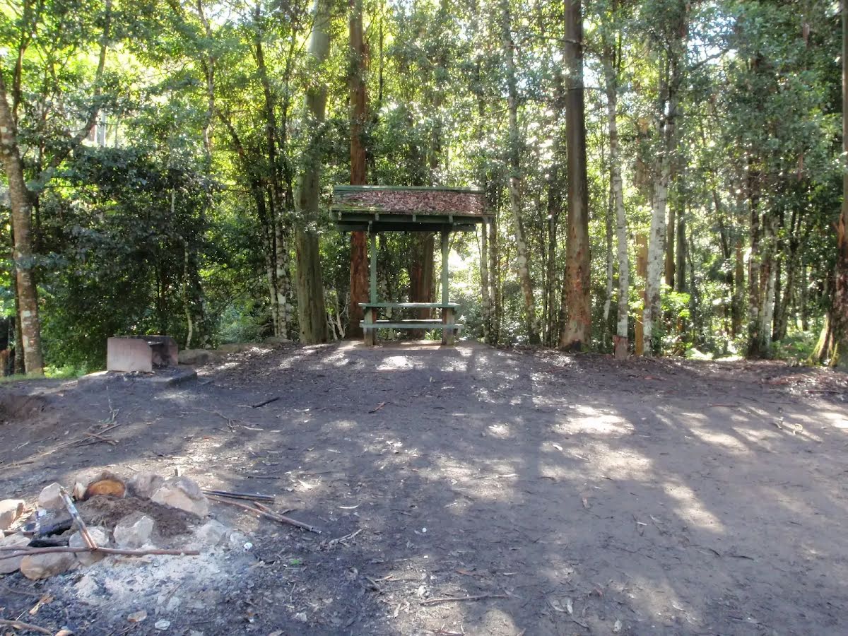
Campsite
| 8.6 km | Basin Campsite |
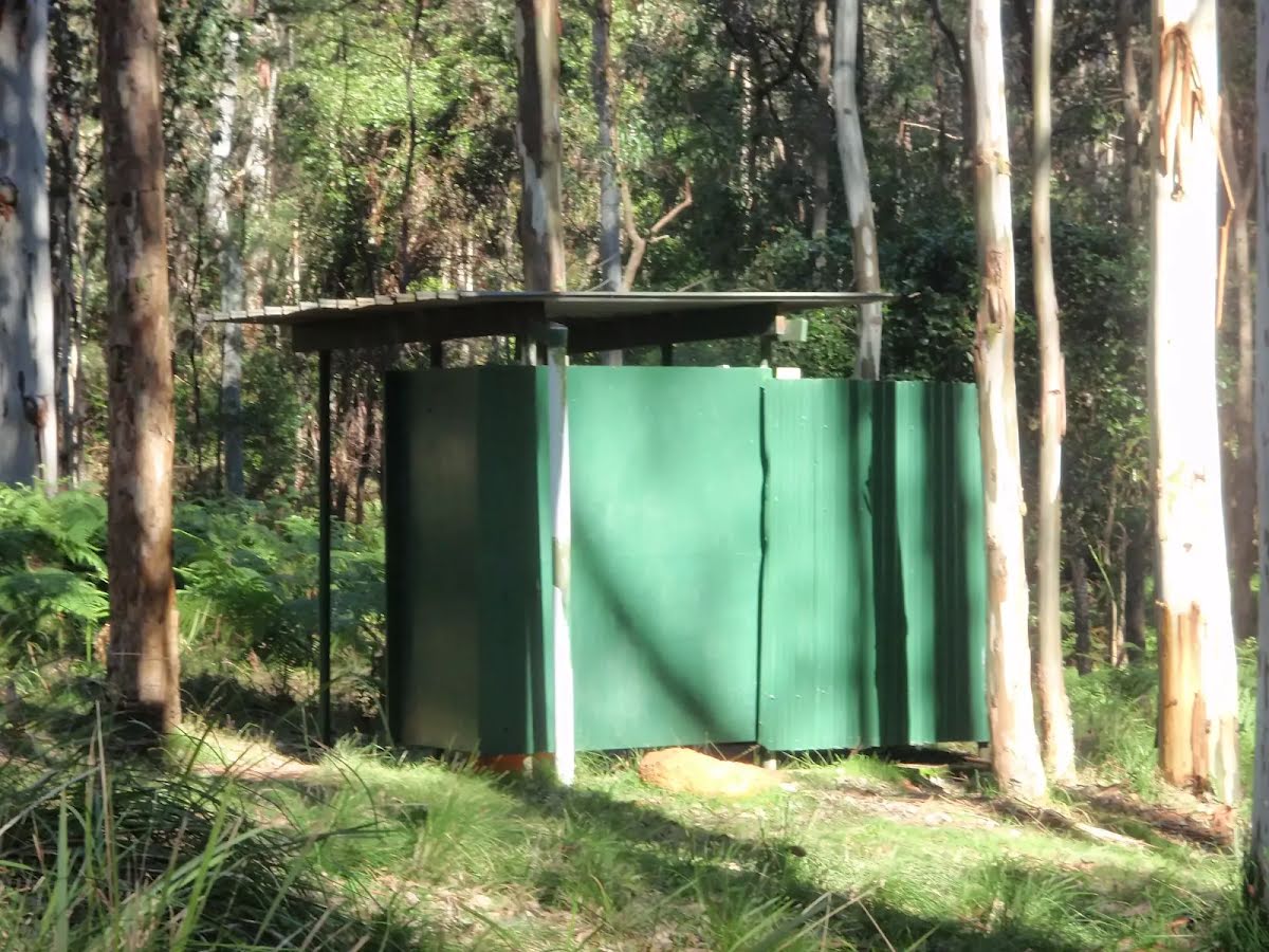
Toilet
| 8.6 km | [toilet] |