Leichhardt's Green Point Walk
Awabakal Country

1 h to 2 h

2.5 km
return

↑ 67 m
↓ -67 m

Moderate track
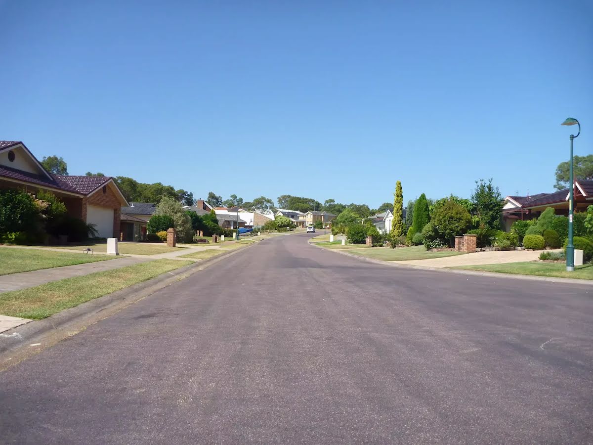
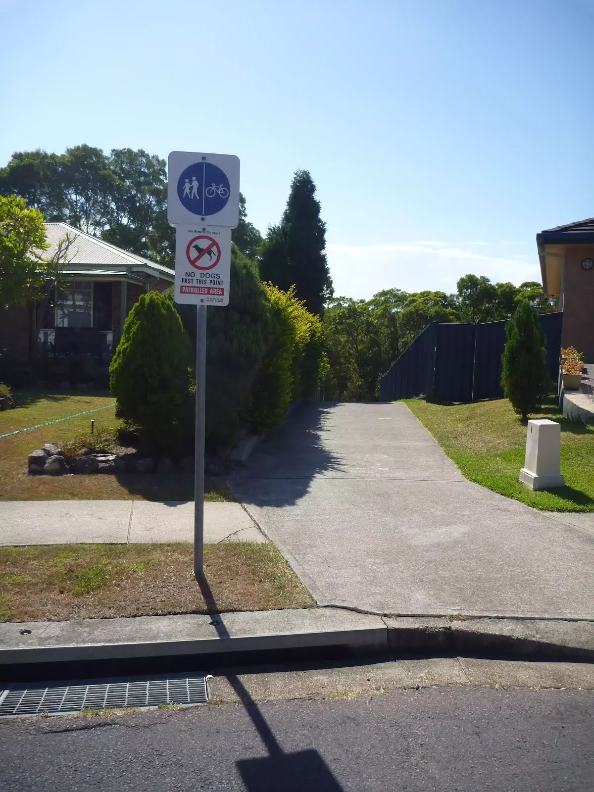
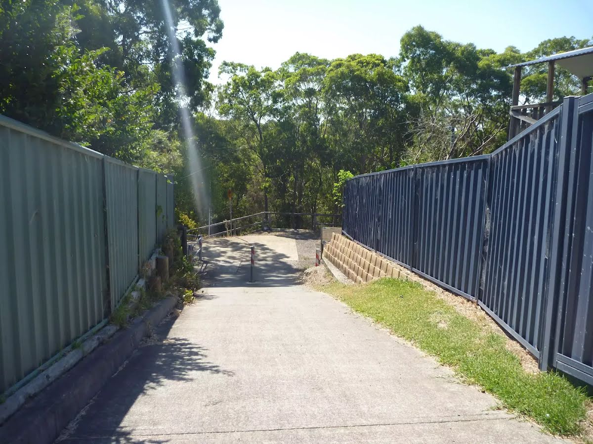
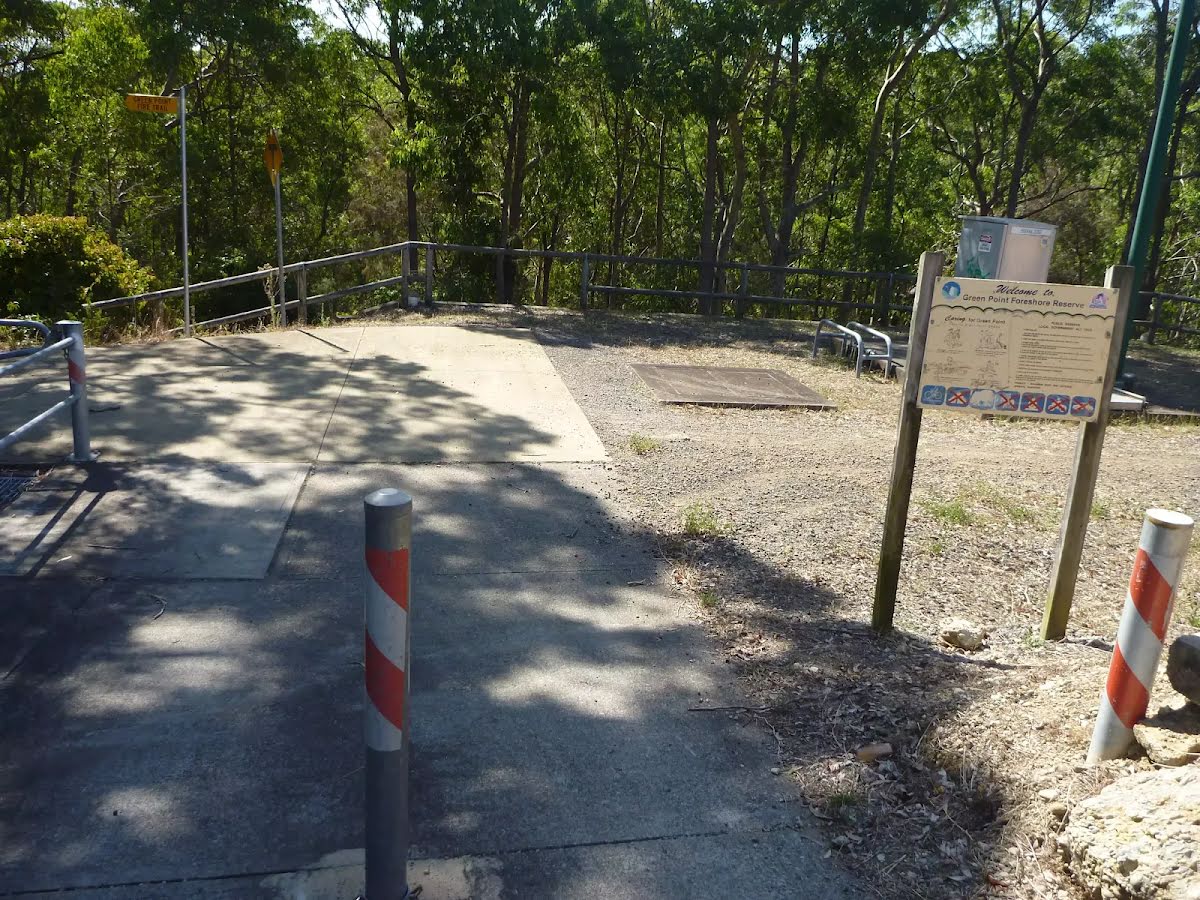
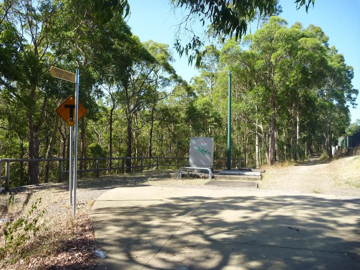
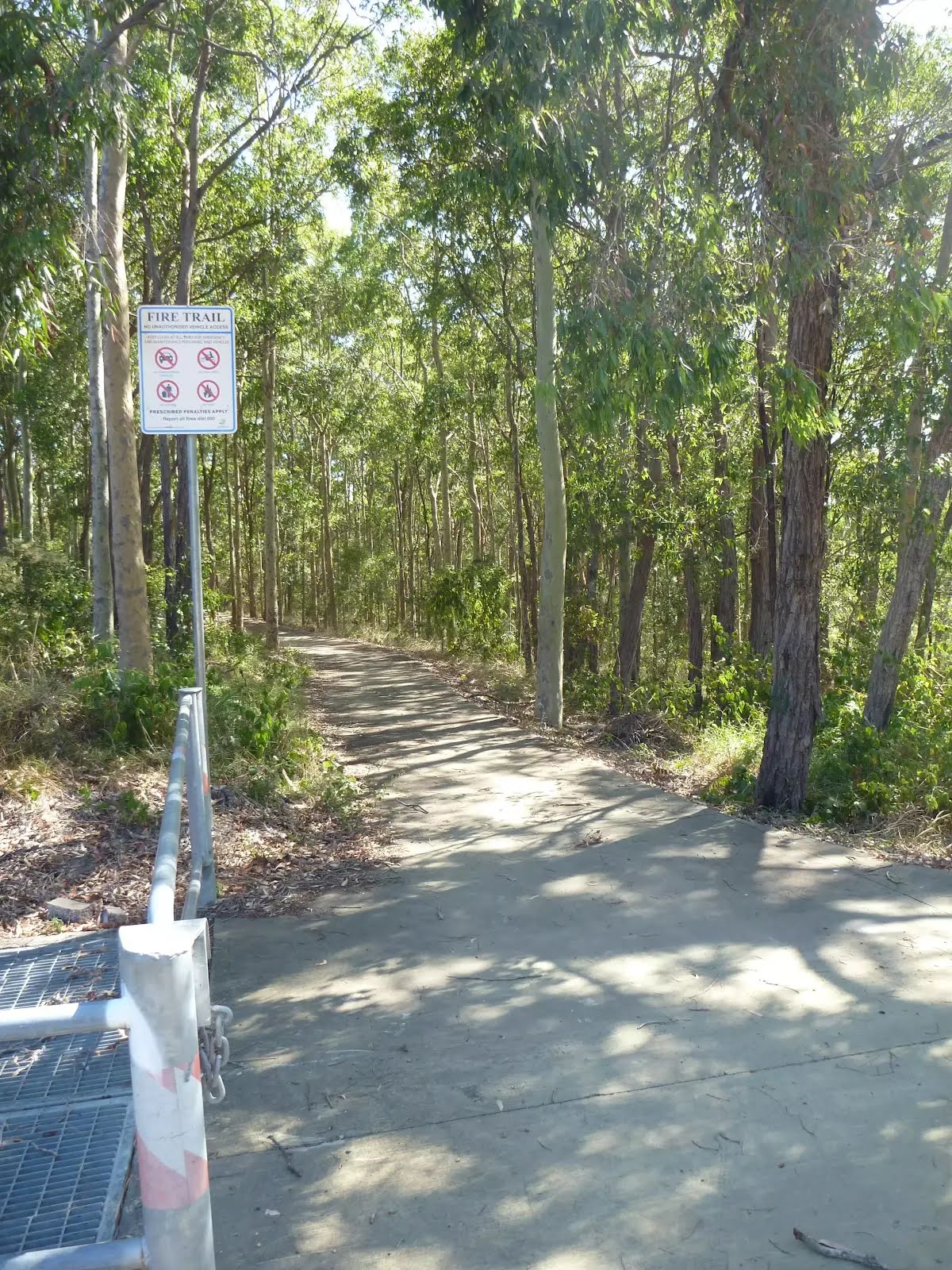
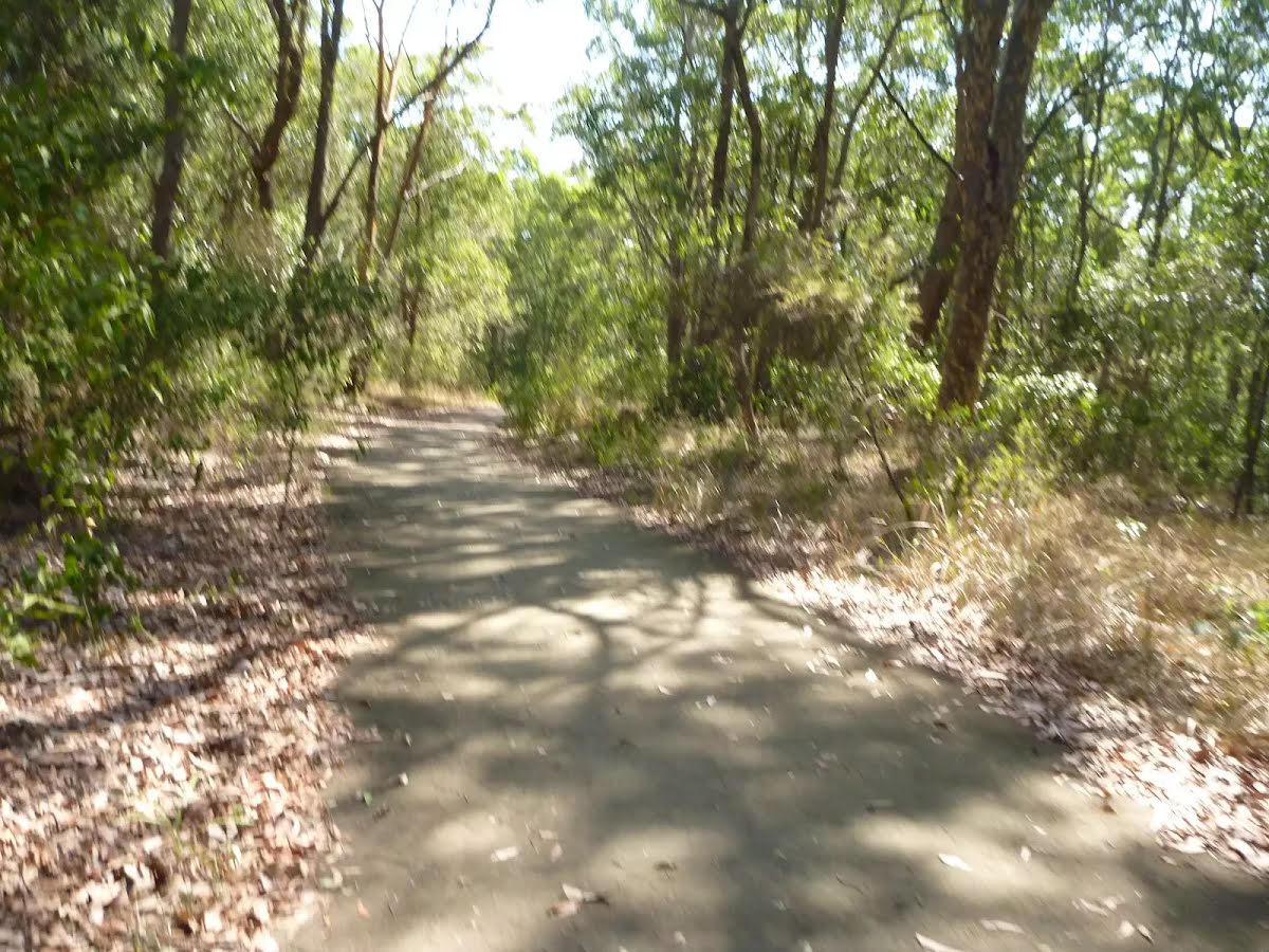
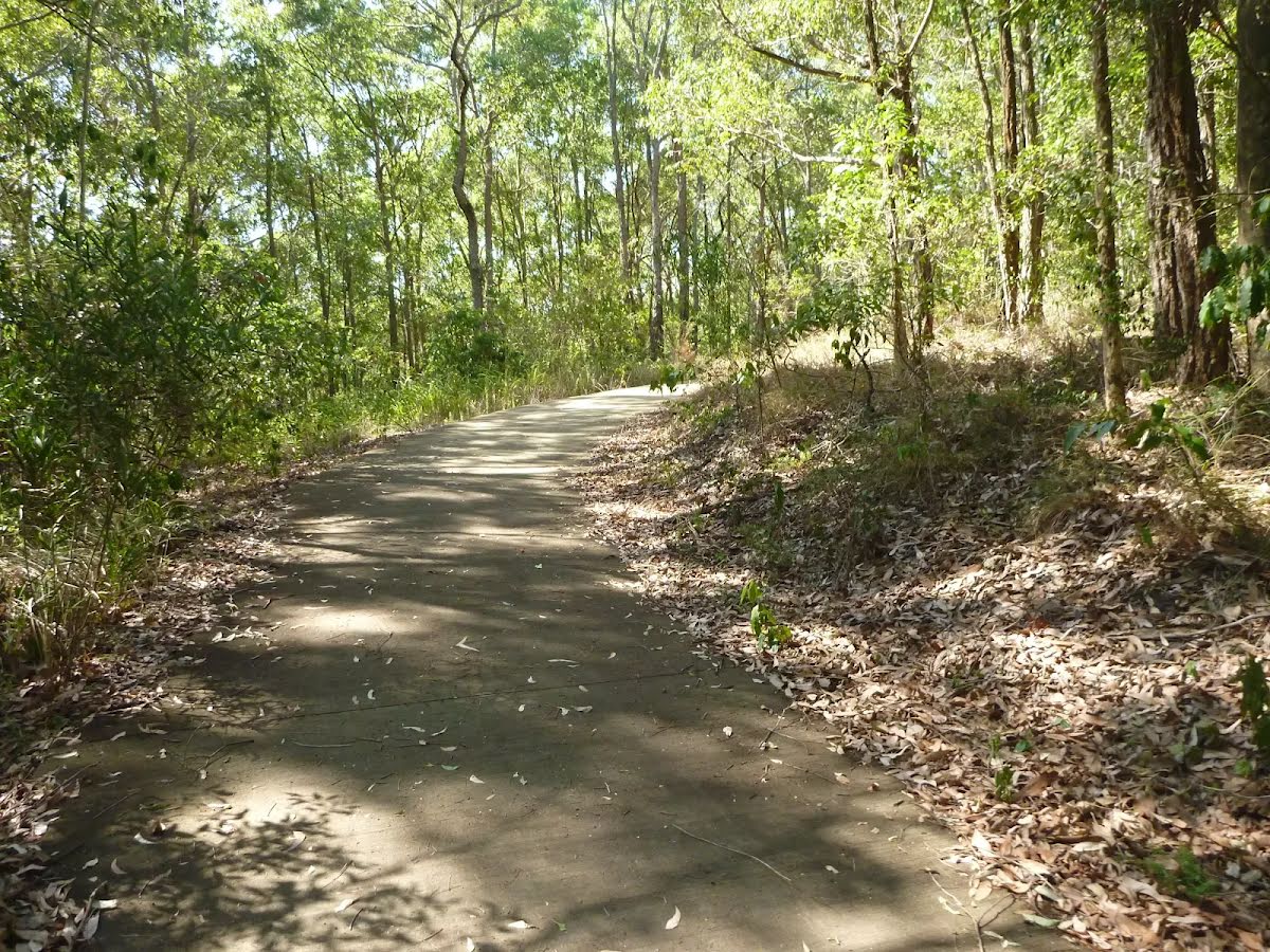
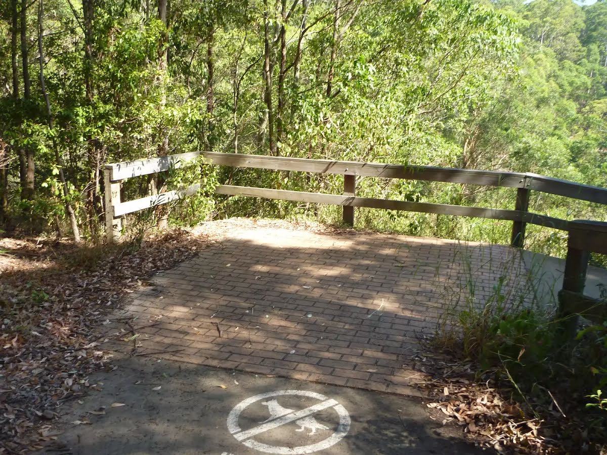
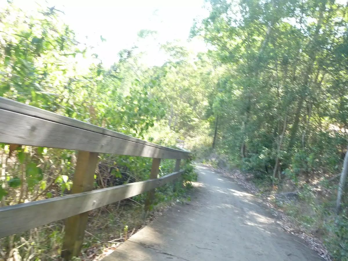
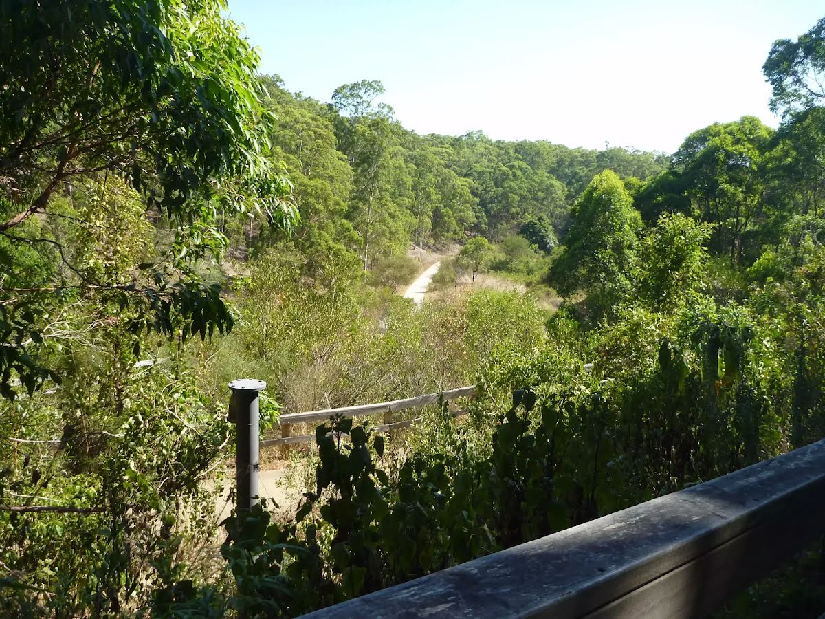
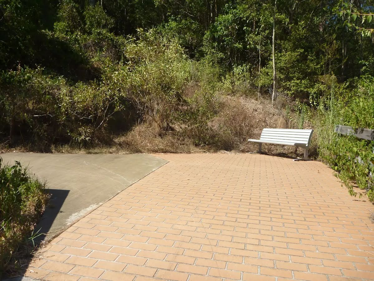
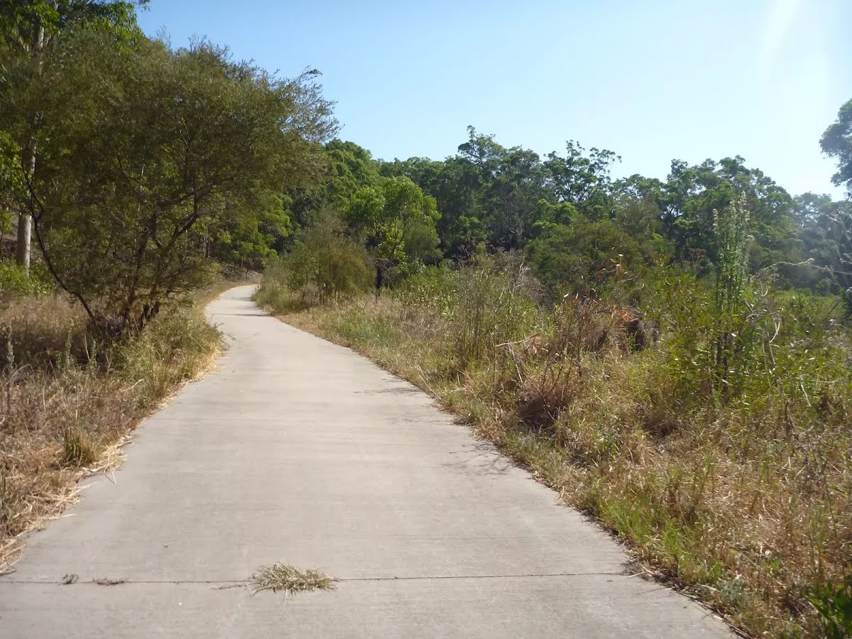
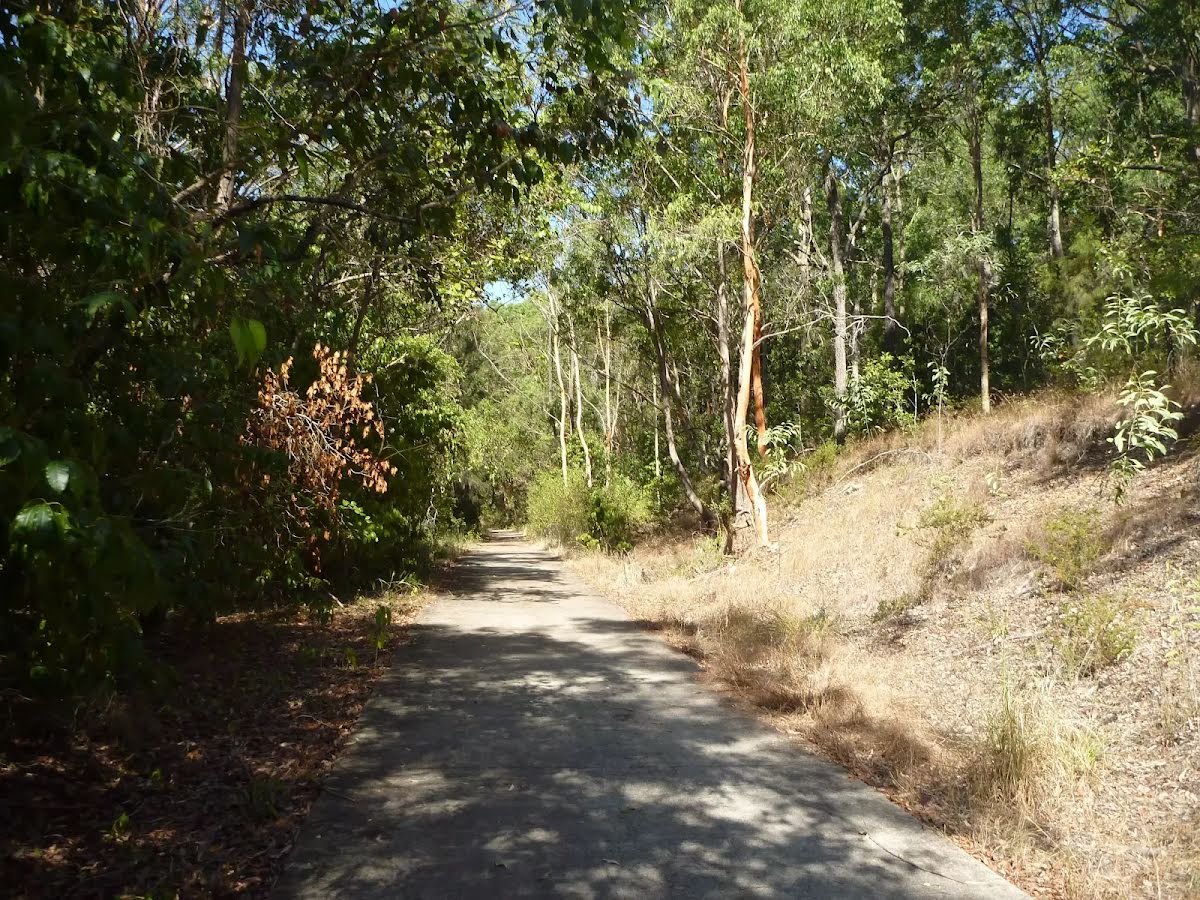
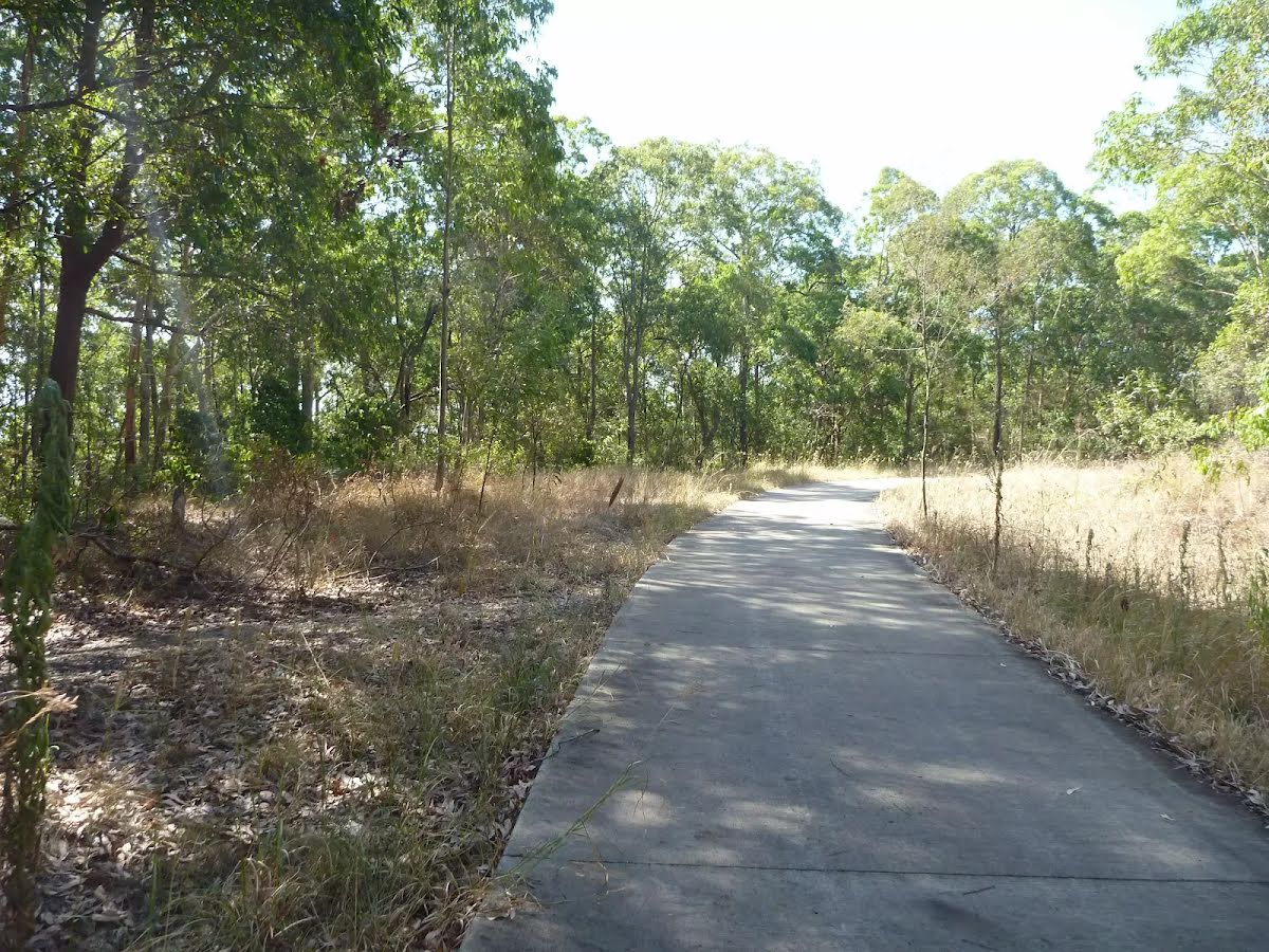
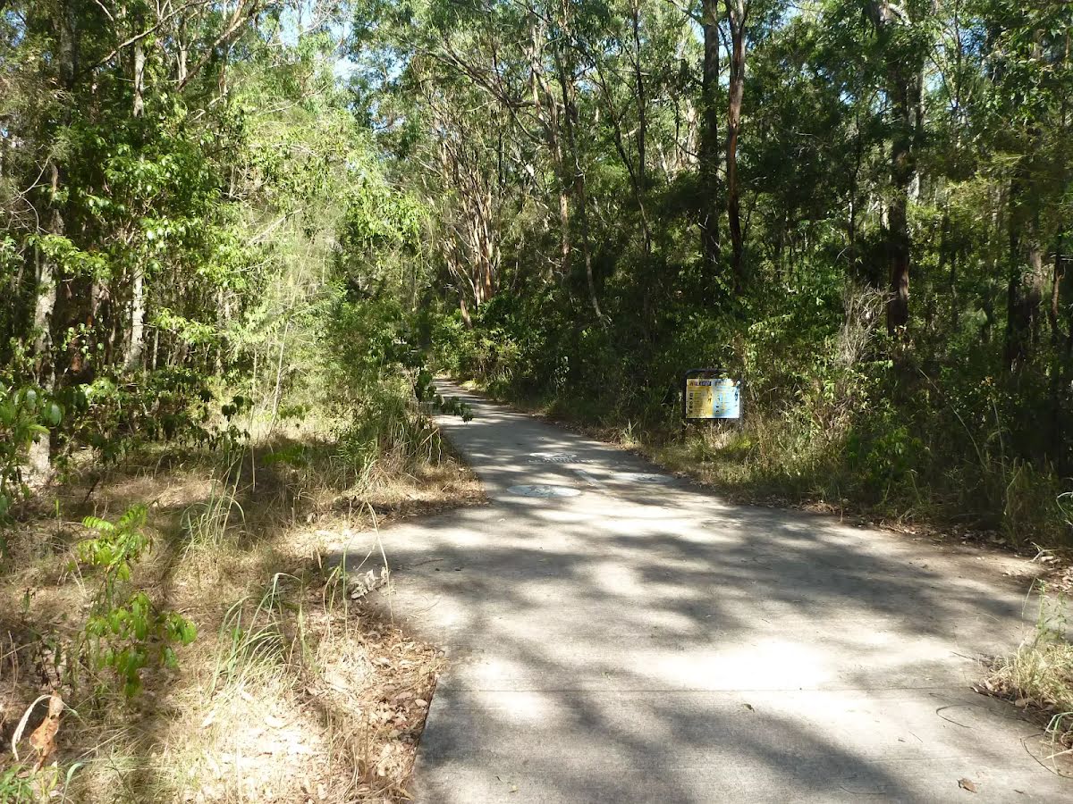
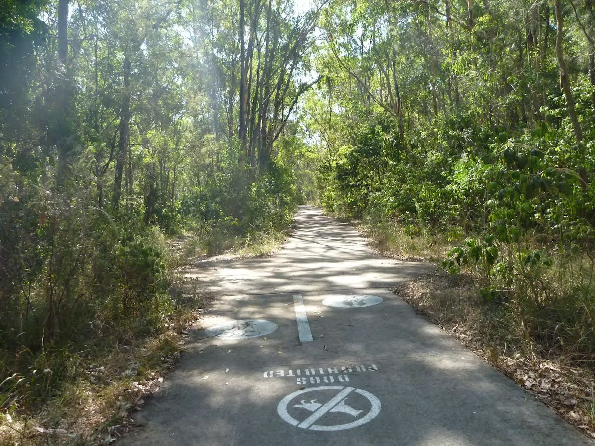
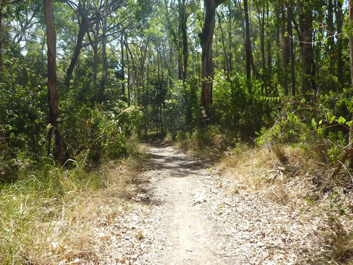
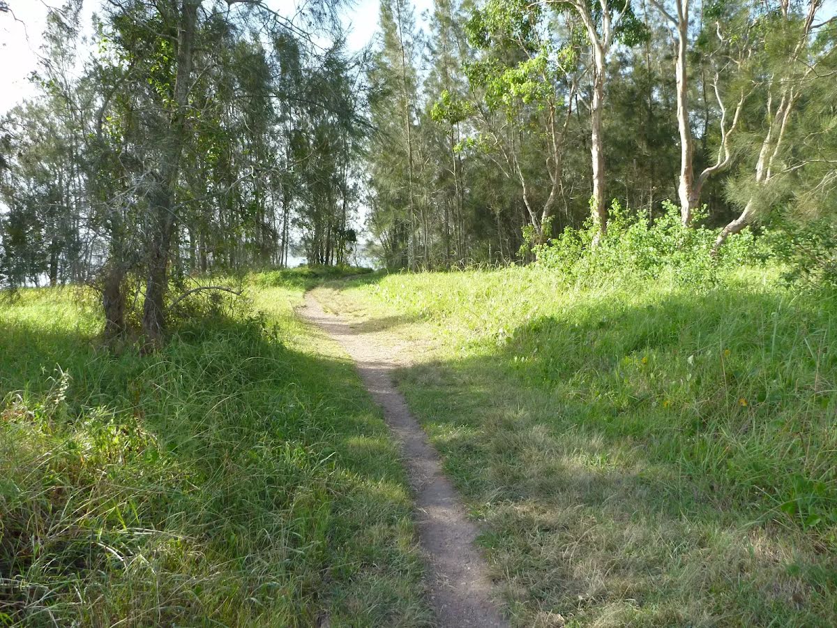
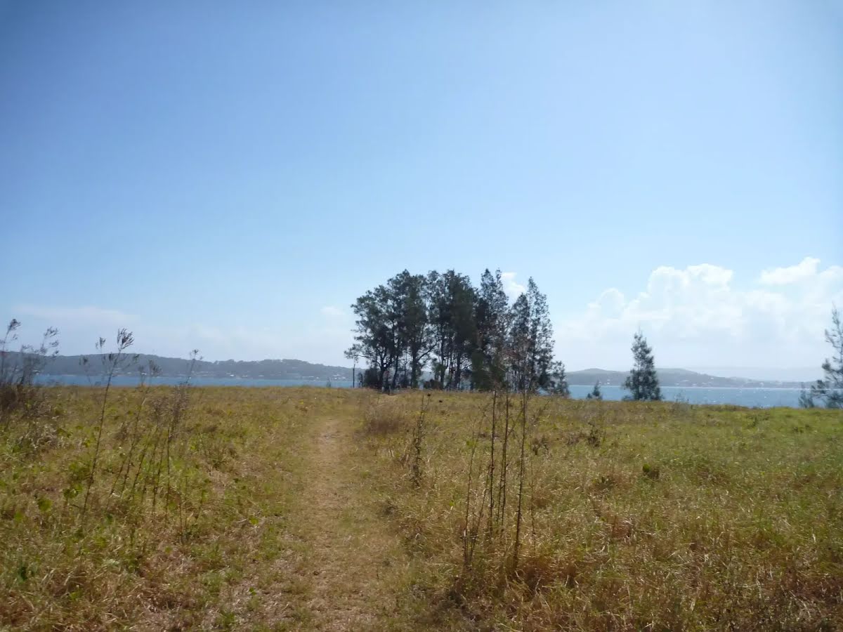
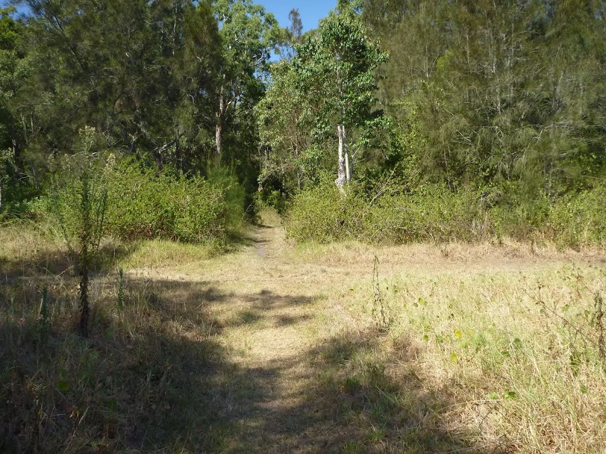
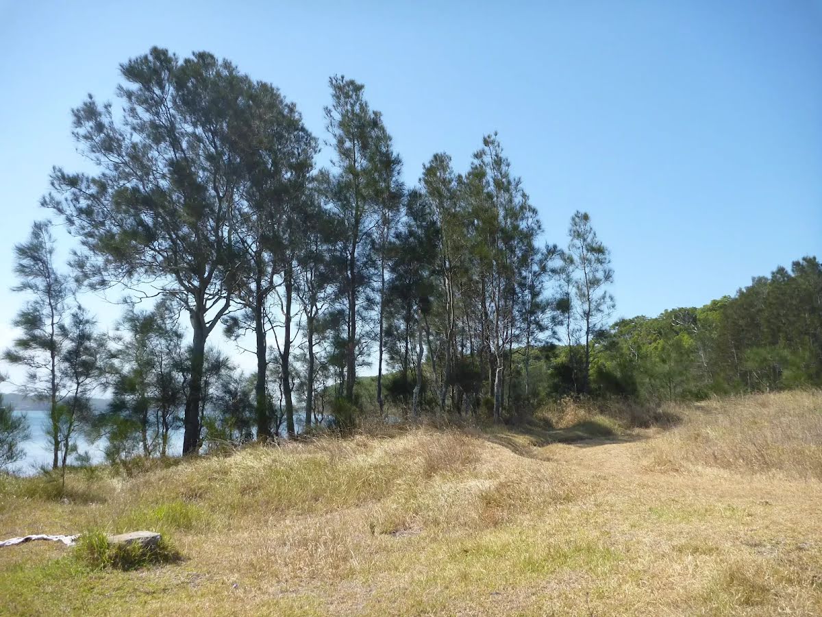
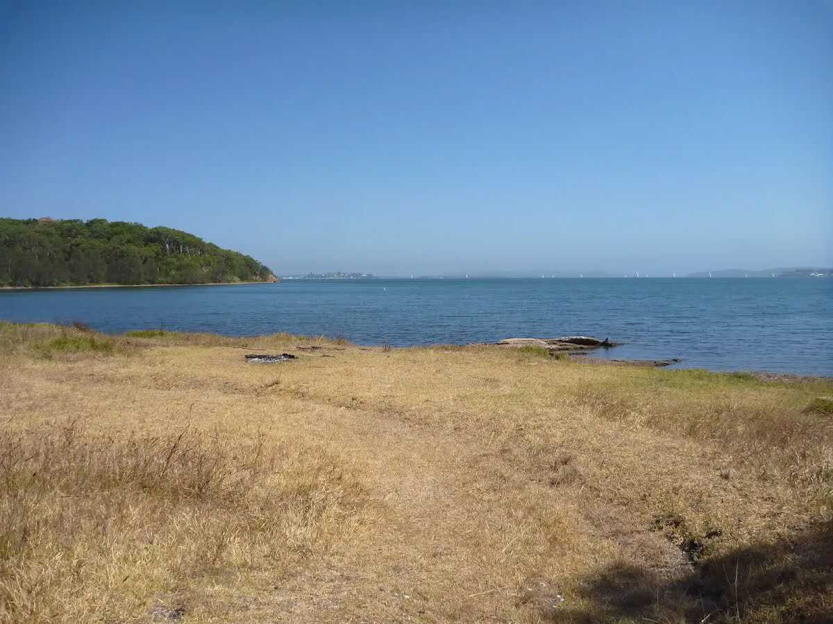
This walk offers the shortest way of walking to Green Point. Starting from the elevated Leichhardt Road in Valentine, the walk descends through eucalyptus forest with some pleasant clearings on the way. Green Point is a great place for picnics and feels as if you can see the entire Lake Macquarie from the foreshore. A recommended walk. Let us begin by acknowledging the Awabakal people, Traditional Custodians of the land on which we travel today, and pay our respects to their Elders past and present. 
Show all
Leichhardts Road Valintine . | Photo by admin, 2011.
Track from Leichhardts Road into Green Point Reserve. | Photo by admin, 2011.
Track between houses into Green Point Reserve. | Photo by admin, 2011.
Fire Trail with forest beyond in Green Point Reserve. | Photo by admin, 2011.
Fire Trail near Leichhardts Road in Green Point Reserve. | Photo by admin, 2011.
Sign near Leichhardts Road in Green Point Reserve. | Photo by admin, 2011.
Forest near Leichhart Road in Green Point Reserve. | Photo by admin, 2011.
Downhill Trail in Green Point Reserve close to Lake Macquarie. | Photo by admin, 2011.
Sealed Trail in Green Point Reserve. | Photo by admin, 2011.
Sealed Trail in Green Point Reserve near Lake Macquarie. | Photo by admin, 2011.
Timber fencing on Zig Zag trail in Green Point Reserve. | Photo by admin, 2011.
Timber fencing next to trail in Green Point Reserve. | Photo by admin, 2011.
Views of skyline and trail ahead on the Zig Zag trail in Green Point. | Photo by admin, 2011.
Metal seat on Zig Zag trail in Green Point Reserve. | Photo by admin, 2011.
Sealed trail close to Green Point in Green Point Reserve. | Photo by admin, 2011.
Eucalyptus forest beside trail in the Green Point Reserve. | Photo by admin, 2011.
Trail in Green Point Reserve. | Photo by admin, 2011.
Intersection of trail in Green Point Reserve. | Photo by admin, 2011.
Tracks near Green Point on Lake Macquarie. | Photo by admin, 2011.
Shared footpath in Green Point Reserve on Lake Macquarie. | Photo by admin, 2011.
Graffiti on sign in Green Point Reserve . | Photo by admin, 2011.
Track in Green Pint Reserve on Lake Macquarie. | Photo by admin, 2011.
Track close to Green Point on Lake Macquarie. | Photo by admin, 2011.
Green Point Reserve. | Photo by admin, 2011.
She Oak trees on Green Point by Lake Macquarie. | Photo by admin, 2011.
Track out to Green Point. | Photo by admin, 2011.
She Oaks beside Green Point Lake Macquarie. | Photo by admin, 2011.
Green Point Reserve. | Photo by admin, 2011.
Green Point and She Oak trees. | Photo by admin, 2011.
She Oak trees on Green Point beside Lake Macquarie. | Photo by admin, 2011.
Downloads GPX PDF
+
-
Safer Bushwalks
Tips on staying safe on track
Before you start any bushwalk ensure you;
• Tell someone you trust where you are going and what to do if you are overdue
• Have adequate equipment, supplies, skills & knowledge for the whole journey
• Consider the impact of weather forecasts, park/track closures & fire dangers
• Can respond to emergencies & call for help at any point
• Are healthy and fit enough for this journey
If not, change plans and stay safe. It is okay to delay and ask people for help.
+
-
Getting There
Transport options and directions
Start (-33.017459,151.6353691)
Mode Bus Car (There is free parking available.)
DirectionsFrom Pacific Highway, A43
  • Turn on to Evans Street then drive for 910 m
  • Turn right onto Ross Street, B89 and drive for another 2.7 km
  • Turn left onto Andrew Road and drive for another 130 m
  • Turn left onto Andrew Road and drive for another 630 m
  • Turn left onto Leichhardt Road and drive for another 430 m
+
-
Track Notes
Turn by turn instructions & maps
Getting started
From Leichhardt Road (Valentine), this walk follows the concrete footpath, while initially keeping the 'No Dogs' sign on your left. This walk continues for 50m, passing between houses and around a metal post until coming to a three-way intersection a trail and 'Green Point Foreshore Reserve' sign (on the right).....
Turn map Directions & comments
Start.
After another 140 m continue straight.
After another 115 m turn left.
After another 45 m continue straight.
After another 170 m continue straight.
After another 30 m continue straight.
After another 120 m continue straight.
After another 40 m (at the intersection of Biggie Smalls & Trading Up) continue straight.
After another 330 m turn sharp right.
After another 185 m veer right.
After another 70 m find the "Green Point (on Lake Macquarie)" (25 m on your left).
Green Point (on Lake Macquarie)

Green Point in the Green Point Foreshore Reserve on Lake Macquarie is a large grassed area which looks out over Lake Macquarie. From the vantage point of Green Point, a walker can see up and down Lake Macquarie. There are often boats passing by this low headland. This is a fabulous place to have a picnic and there is even a clump of She Oak trees by the water for shade. There are no facilities here, other than the open grassed area.
+
-
Green Point in the Green Point Foreshore Reserve on Lake Macquarie is a large grassed area which looks out over Lake Macquarie. From the vantage point of Green Point, a walker can see up and down Lake Macquarie. There are often boats passing by this low headland. This is a fabulous place to have a picnic and there is even a clump of She Oak trees by the water for shade. There are no facilities here, other than the open grassed area.

Turn around here and retrace the main route for 1.2 km to get back to the start.
+
-
Terrain
Know the Hills, grading & facilities

Leichhardt's Green Point Walk


Grading
Class 3/6
Moderate track
Length 2.5 km
Time 1 h to 2 h
Quality of track Clear and well formed track or trail (2/6)
Gradient Short steep hills (3/6)
Signage Directional signs along the way (3/6)
Infrastructure Generally useful facilities (such as fenced cliffs and seats) (1/6)
Experience Required No experience required (1/6)
Weather Weather generally has little impact on safety (1/6)
+
-
Articles
Discover more details to thrive on track
Get more information
Wildwalks
+
-
Reviews & Feedback
Share your experience
+
-
Weather & Alerts
Check forecasts & closures
Show Full Weather
Alerts and Closures
Show all alerts
Show all alerts
Show all alerts
+
-
Other Journeys
Discover nearby and similar journeys
Some of the information and maps on this page was generated using data from the awesome © OpenStreetMap contributors.
Please see how you can embed some widgets, access data and other stuff to that might be helpful.