The Cascades Track (St Ives to Davidson)
Darug Country

1 h 15 min to 1 h 30 min

3.2 km
oneway

↑ 88 m
↓ -141 m

Moderate track
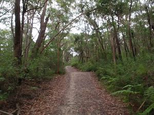
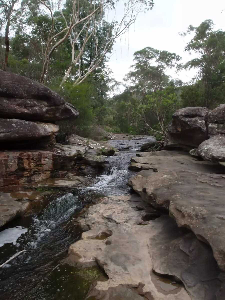
This walk explores a section of Garigal National Park from St Ives following service trails through the forest and into the valley. The cascades, from which this track derives its name, are at the junction of Middle Harbour and Frenchs creeks. After taking time to explore the rock platform, this walk continues along service trail to Stone Pde, Davidson. Let us begin by acknowledging the Darug people, Traditional Custodians of the land on which we travel today, and pay our respects to their Elders past and present. 
Show all
Cascades Trackhead. | Photo by admin, 2009.
Cascades Track near St Ives. | Photo by admin, 2009.
Cascades Track. | Photo by admin, 2009.
Cascades Heading through the bush. | Photo by admin, 2009.
Int of Cascades and Upper Cambourne Track. | Photo by admin, 2009.
Int of Cascades and Lower Cambourne Track. | Photo by admin, 2009.
Cascades Track. | Photo by admin, 2009.
Int of Bare Creek and Cascades service trails. | Photo by admin, 2009.
Crossing east of the Cascades. | Photo by admin, 2009.
The Cascades. | Photo by admin, 2009.
The Cascades track and Frenchs creek. | Photo by admin, 2009.
Continuing through the bush. | Photo by admin, 2009.
Climbing up the asphalted hills. | Photo by admin, 2009.
Crossing Borgnis Creek. | Photo by admin, 2009.
Cascades Trackhead at Stone Pde. | Photo by admin, 2009.
Map Notes Terrain Reviews Conditions More
Downloads GPX PDF

Some of the information and maps on this page was generated using data from the awesome © OpenStreetMap contributors.
Please see how you can embed some widgets, access data and other stuff to that might be helpful.