


| Start | (-33.6538131,151.1367936) |
| Mode | Bus Car (There is free parking available.) Train |
| Finish | (-33.6232216,151.1532334) |
| Mode (end) | Car Shuttle Bus Car (There is free parking available.) |
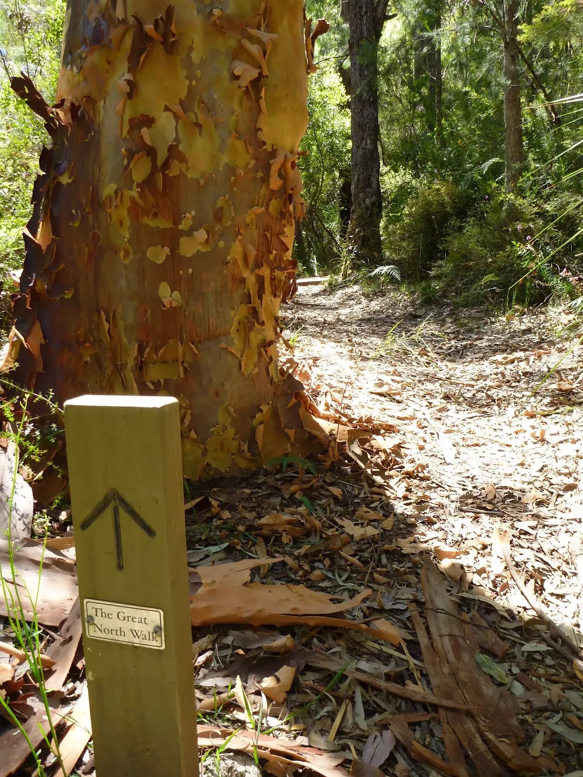
| Turn map | Directions & comments |
|---|---|
 |
|
 |
|
 |
|
 |
|
 |
|
 |
|
 |
|
 |
|
 |
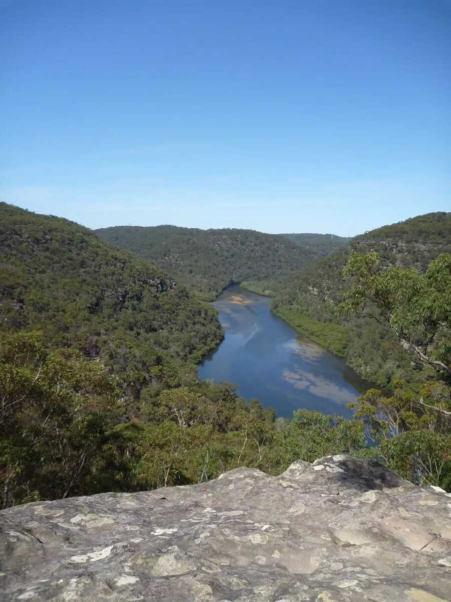
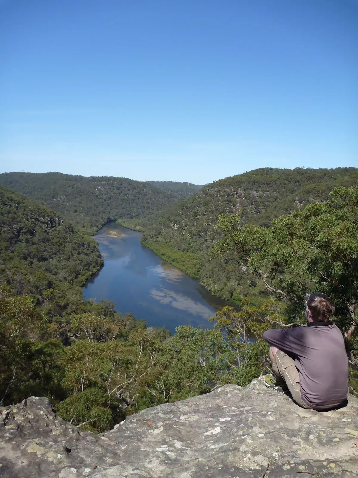
The starting point of an optional sidetrip. An optional side trip to Int of Naa Badu Lookout. To start this optional side trip continue straight here. On returning from this side trip turn left when you get back to this intersection. Details below.
|
 |
|
 |
|
 |
|
 |
|
 |
|
 |
|
 |
|
 |
|
 |
|
 |
|
 |
|
 |

|
|
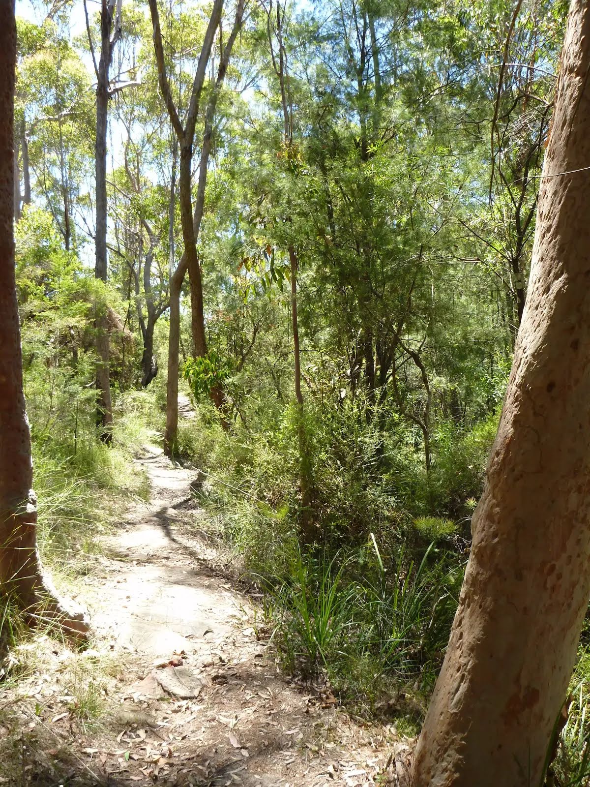
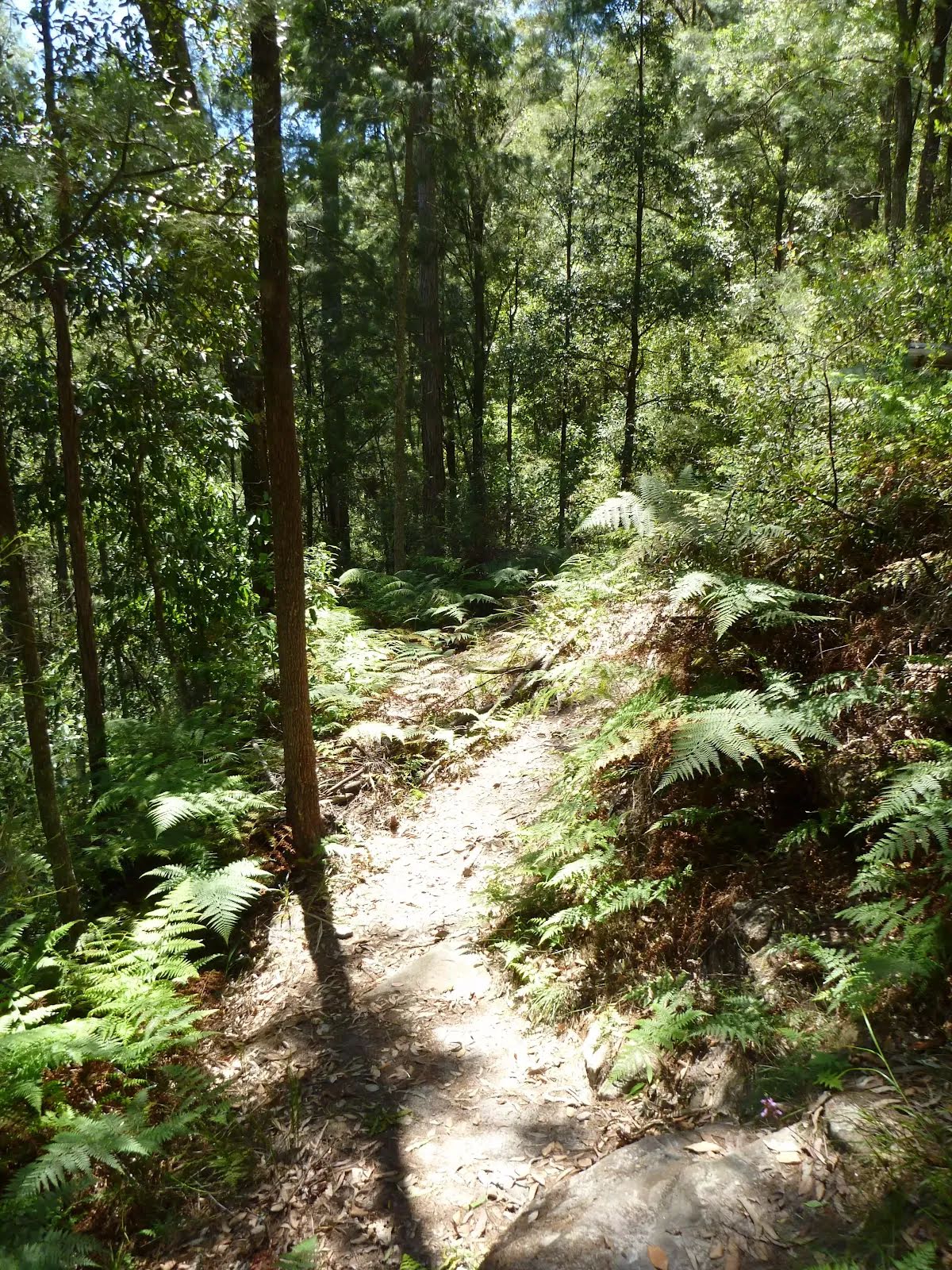
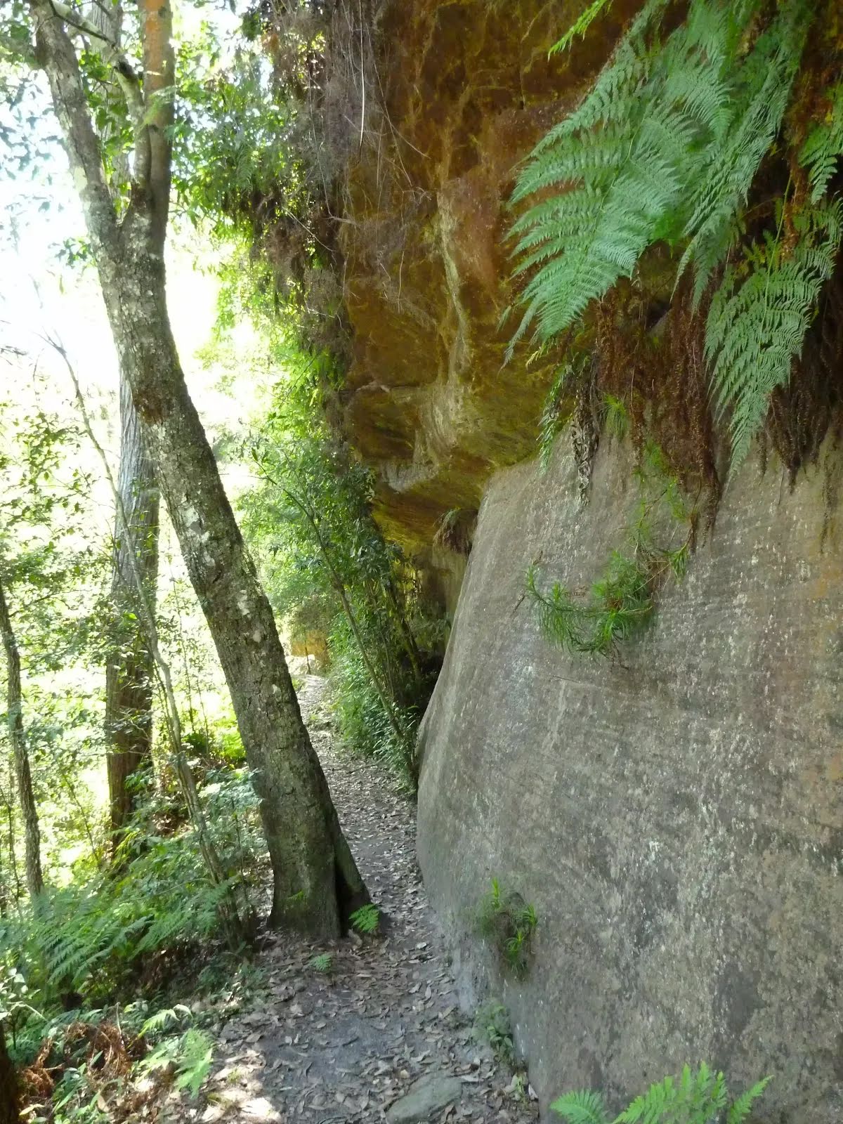
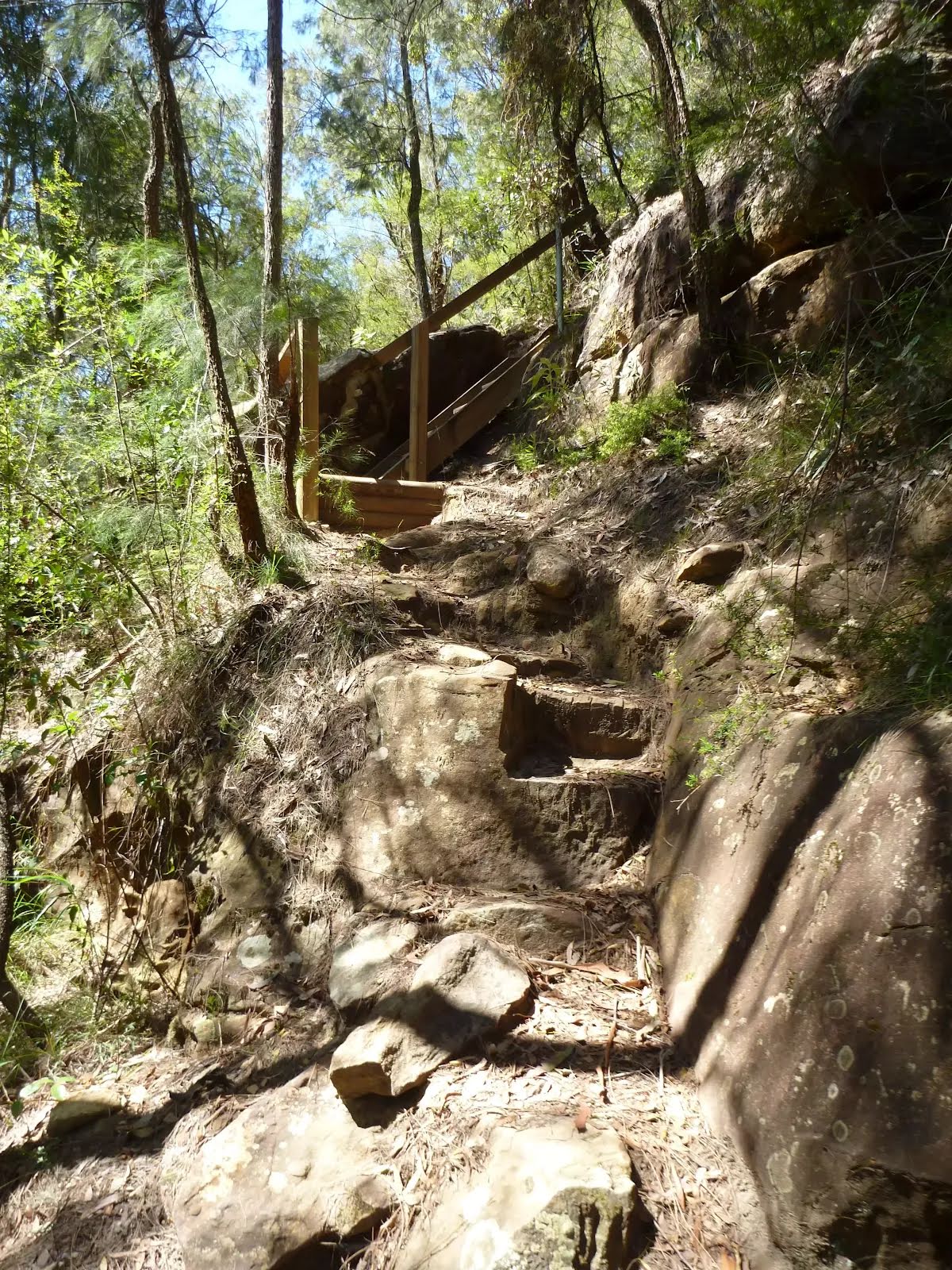
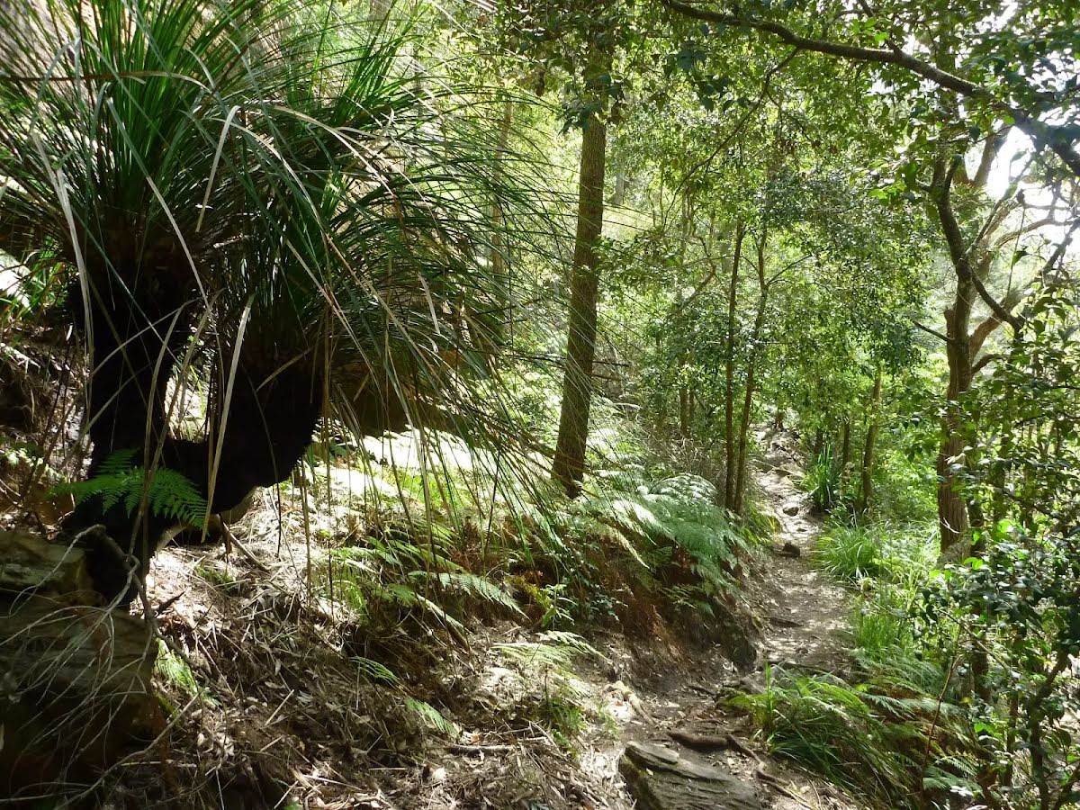
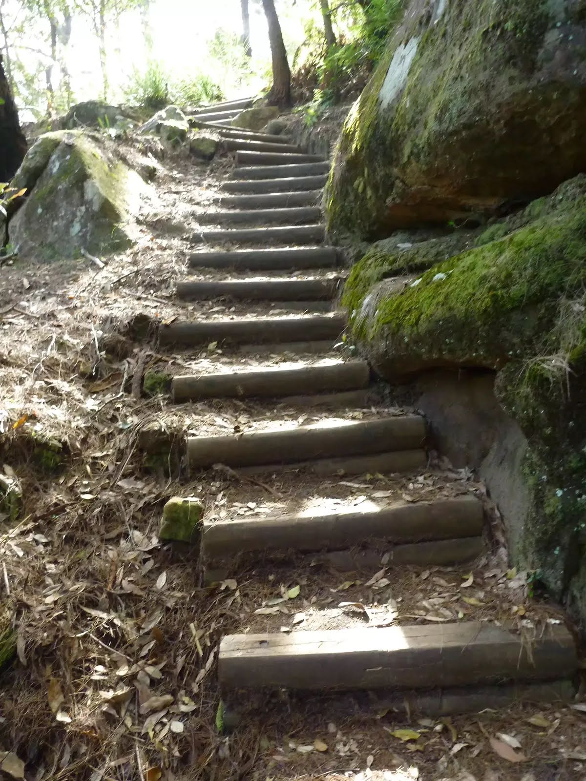
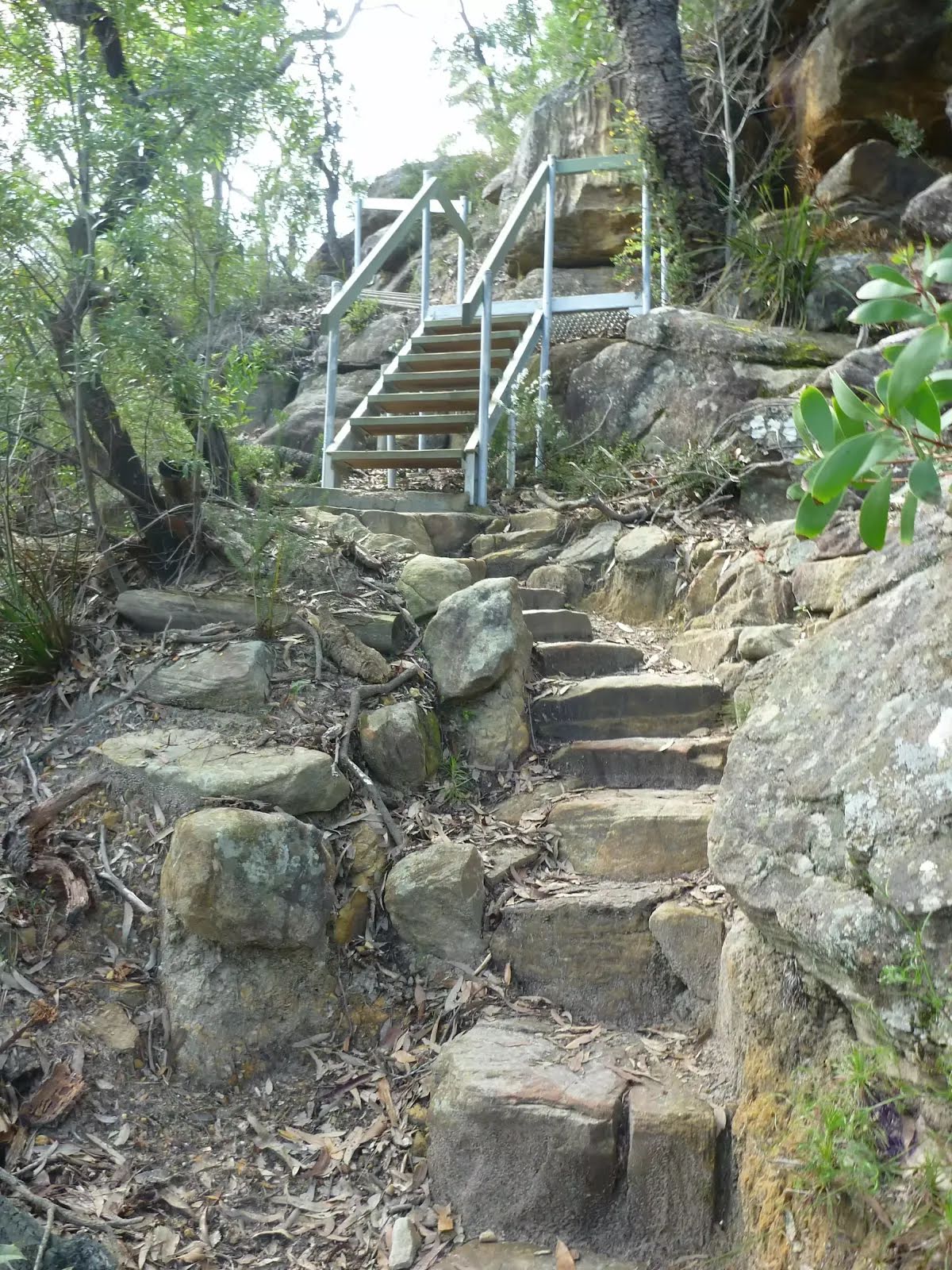
Class 4/6 Hard track |
|---|---|
| Length | 9.7 km |
| Time | 4 h to 4 h 15 min |
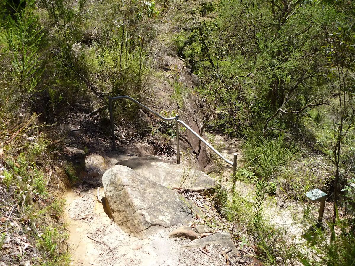
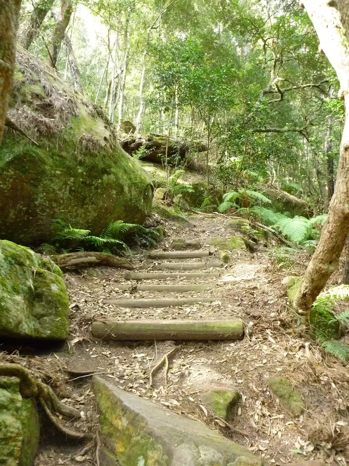
| Quality of track | Rough track, where fallen trees and other obstacles are likely (4/6) |
| Gradient | Very steep (4/6) |
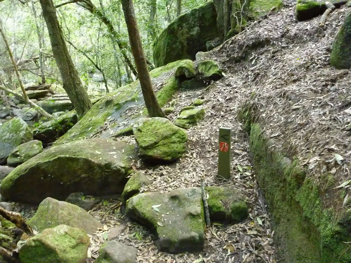
| Signage | Directional signs along the way (3/6) |
| Infrastructure | Limited facilities, not all cliffs are fenced (3/6) |
| Experience Required | Moderate level of bushwalking experience recommended (4/6) |
| Weather | Storms may impact on navigation and safety (3/6) |
| Item | From Start | Name & link to notes |
|---|---|---|
Seat
| 430 m | [seat] |
Seat
| 530 m | [seat] |
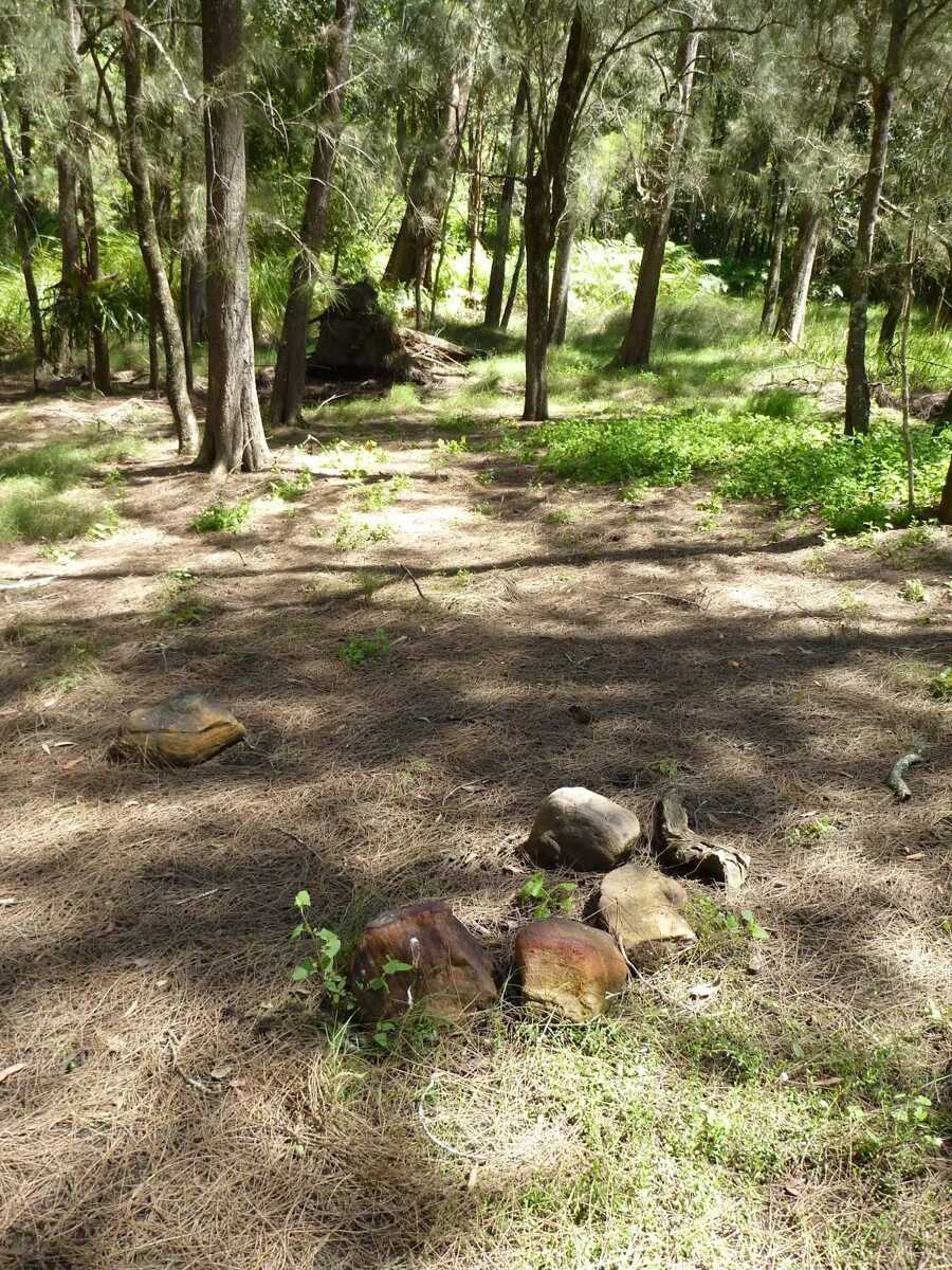
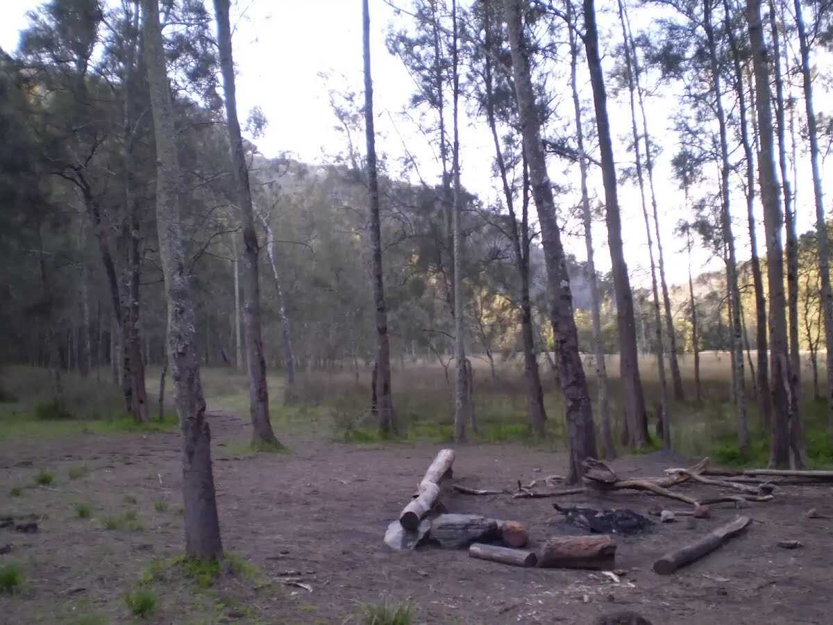
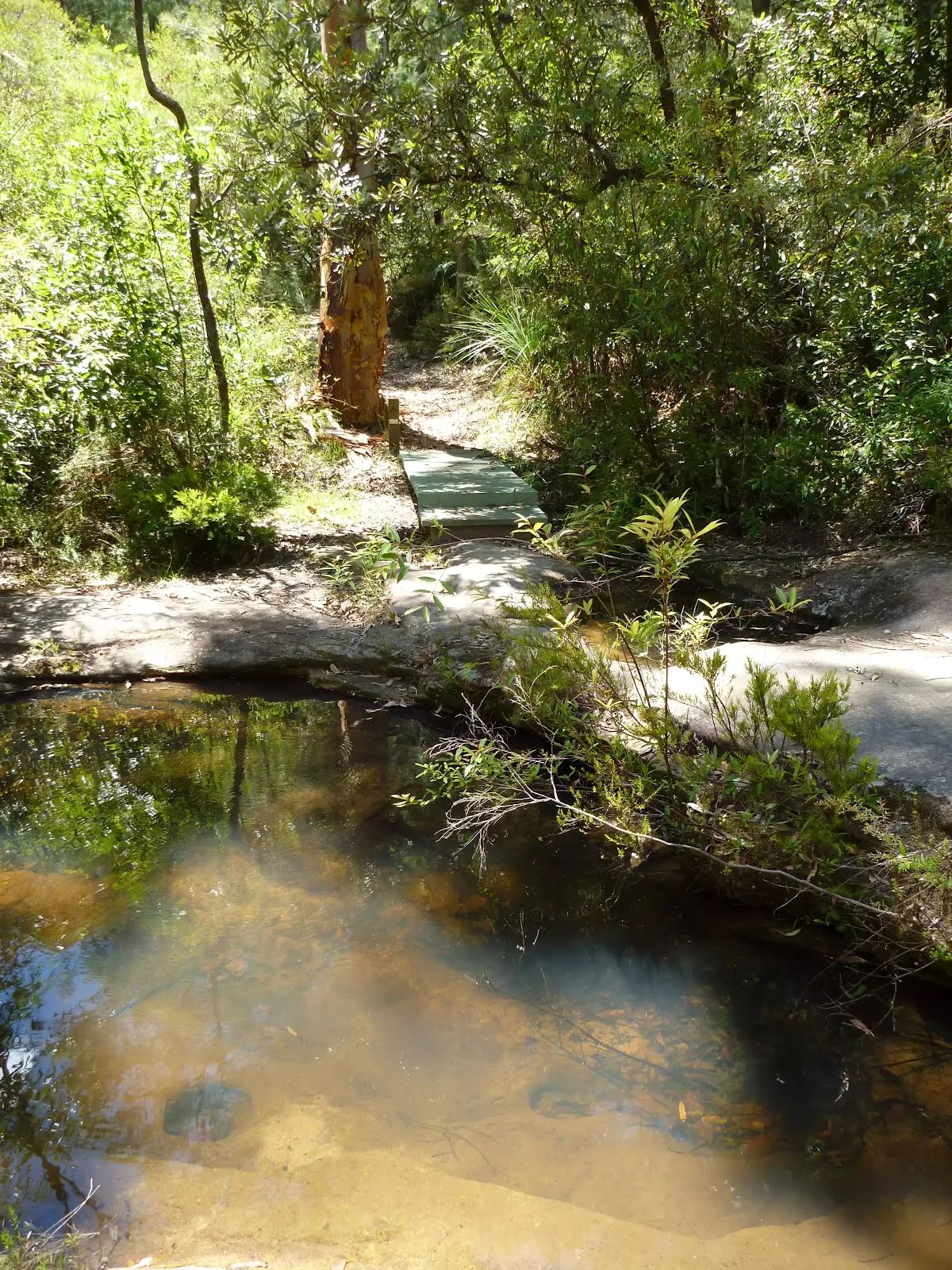
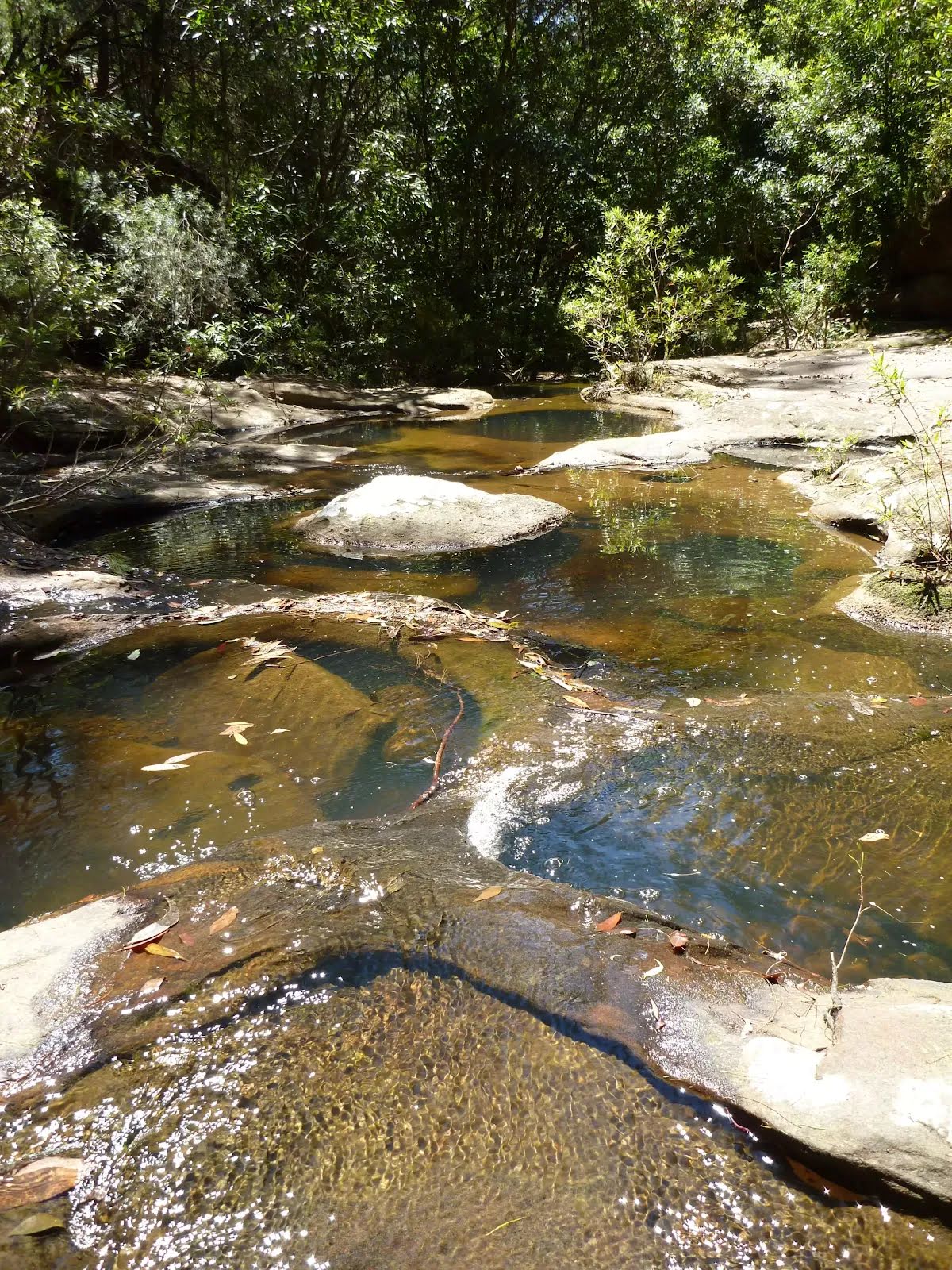
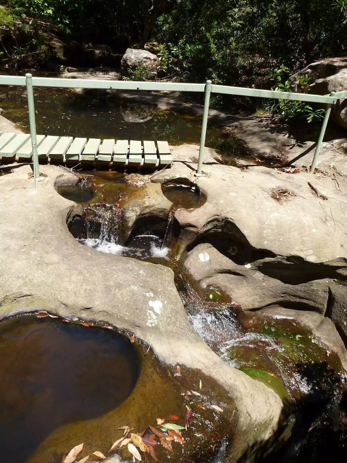
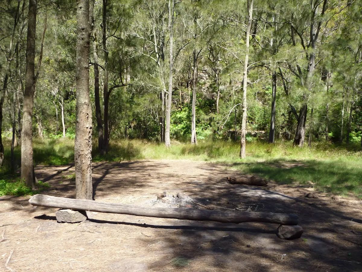
Campsite
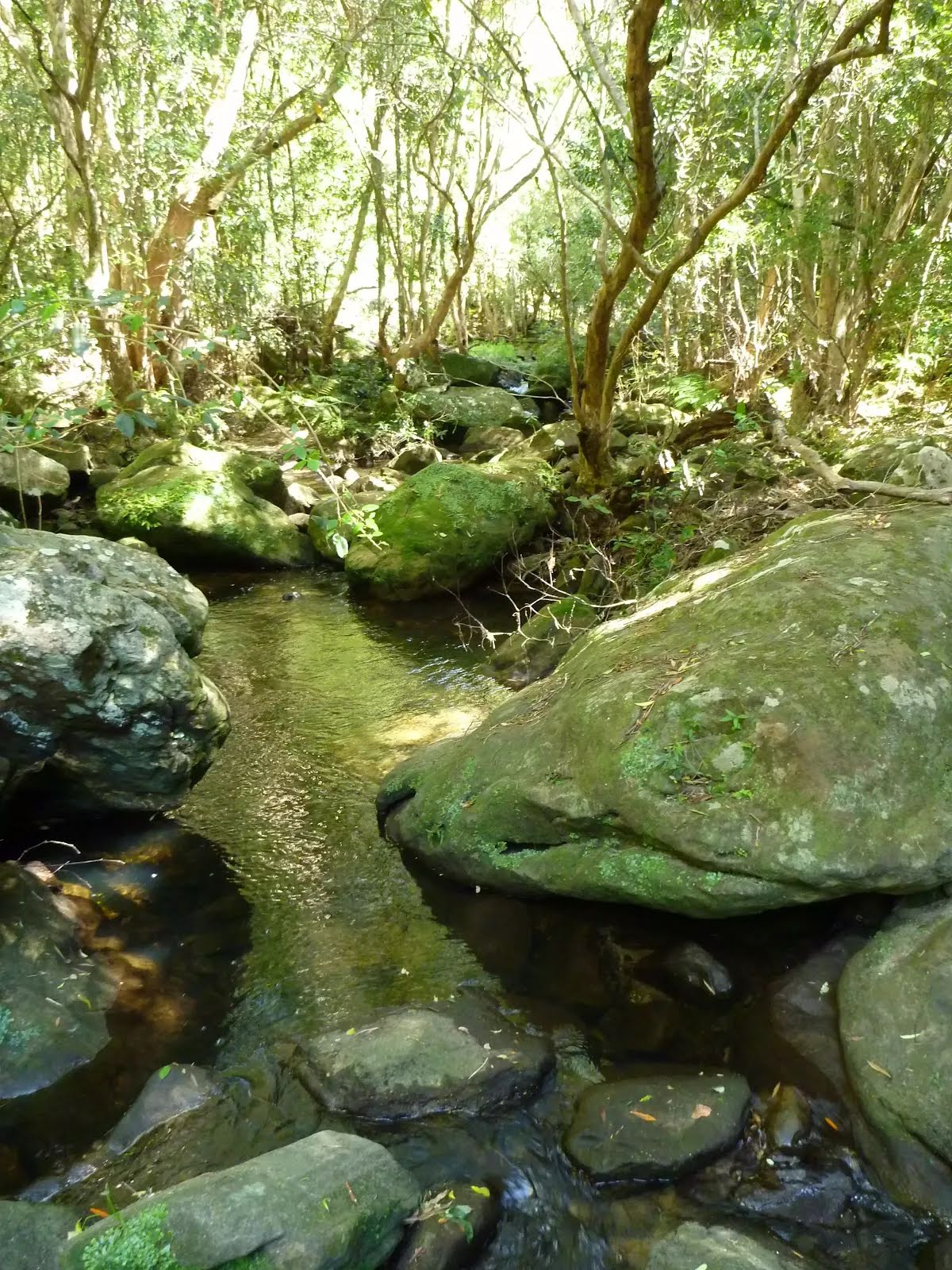
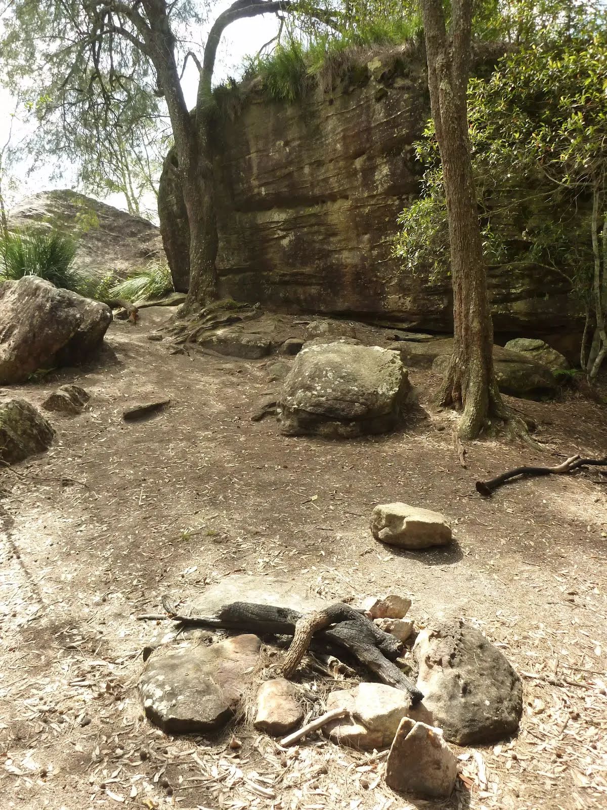
| 4.2 km | Calna Creek Campsite (south) |
Campsite
| 4.7 km | Calna Creek Campsite (north) |
Seat
| 4.7 km | [seat] |
Seat
| 6.9 km + 335 m | [seat] |
Toilet
| 9.3 km | [toilet] |