Bullock's Track via Muzzlewood Flat
Ngarigo Country

1 h 30 min to 3 h

4.6 km
circuit

↑ 89 m
↓ -89 m

Moderate track
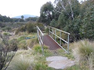
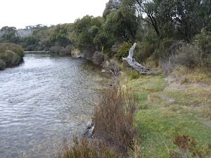
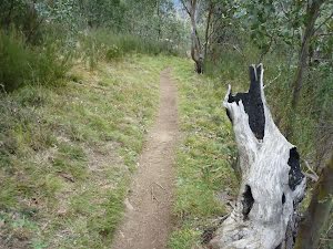
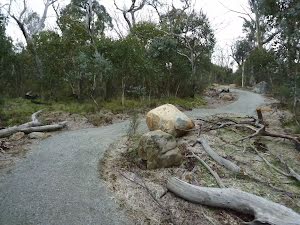
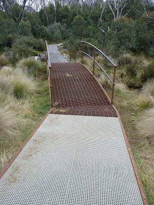
This pleasant circuit walk explores some lovely sections of the Thredbo River, as well as some snow gum forests, granite boulder outcrops and a series of frost hollows. Much of the first half of this walk follows the Thredbo River passing some inviting grassy areas where you can sit and enjoy the water or perhaps a spot of fishing. As the track loops back it leads you through the frost hollows of Muzzlewood Flat as you follow a section shared with mountain bikes. The plan is to join this section of the walk to a longer shared trail linking Thredbo Village and the lower Skitube Station. Let us begin by acknowledging the Ngarigo people, Traditional Custodians of the land on which we travel today, and pay our respects to their Elders past and present. 
Show all
Bullocks Track trackhead. | Photo by admin, 2010.
Walking along the Thredbo Diggings dirt road. | Photo by admin, 2010.
Toilets at Threbo Diggings. | Photo by admin, 2010.
Inside the toilets at Thredbo Diggings Camping area. | Photo by admin, 2010.
Fire place at Thredbo Diggins. | Photo by admin, 2010.
Intersection at lower end of Thredbo Diggings Camping area. | Photo by admin, 2010.
Bull Creek Bridge. | Photo by admin, 2010.
Bull Creek and Threbo River. | Photo by admin, 2010.
Grassy edge of the Thredbo River. | Photo by admin, 2010.
Walking track winding through the forest. | Photo by admin, 2010.
Beside the Thredbo River. | Photo by admin, 2010.
Winding through the open forest on the bank of the Thredbo River. | Photo by admin, 2010.
Thredbo River rocks. | Photo by admin, 2010.
Erosion control on Bullocks Track. | Photo by admin, 2010.
Granite boulder on Bullocks Track. | Photo by admin, 2010.
Winding among the boulders. | Photo by admin, 2010.
Timber steps on edge of gully. | Photo by admin, 2010.
Walking amoung the boulders. | Photo by admin, 2010.
Even the dead trees are pleasant on the Bullocks Track. | Photo by admin, 2010.
Bullocks Track near Threbo River. | Photo by admin, 2010.
Bullocks Loop bridge intersection. | Photo by admin, 2010.
Information sign on the Thredbo Valley Track. | Photo by admin, 2010.
Shared path near the Bullocks Loop bridge intersection. | Photo by admin, 2010.
Boulder beside the Bullocks Walking track. | Photo by admin, 2010.
Int of Bullocks Walking and car park tracks. | Photo by admin, 2010.
Track south of Int of Bullocks Walking and car park tracks. | Photo by admin, 2010.
Winding among the boulders on Bullocks Track. | Photo by admin, 2010.
Section of stone path. | Photo by admin, 2010.
A frost hollow in part of Muzzlewood Flats. | Photo by admin, 2010.
Local kangaroo saying G'day. | Photo by admin, 2010.
One of the frost hollow in Muzzlewood Flats. | Photo by admin, 2010.
Hairpin bend on Bullocks Track. | Photo by admin, 2010.
Walking through Muzzlewood Flats. | Photo by admin, 2010.
Recent track works on Bullocks Track. | Photo by admin, 2010.
Large frost hollow just south of Thredbo Diggings . | Photo by admin, 2010.
Small bridge on Bullocks Track near Thredbo Diggings. | Photo by admin, 2010.
Path across frost hollow near Thredbo Diggings. | Photo by admin, 2010.
Just near the Bullocks Trackhead near Thredbo Diggings. | Photo by admin, 2010.
Bullocks Track trackhead. | Photo by admin, 2010.
Map Notes Terrain Reviews Conditions More
Downloads GPX PDF

Some of the information and maps on this page was generated using data from the awesome © OpenStreetMap contributors.
Please see how you can embed some widgets, access data and other stuff to that might be helpful.