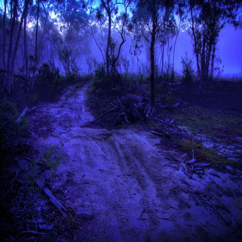
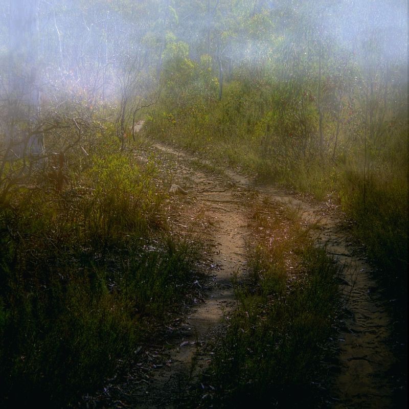
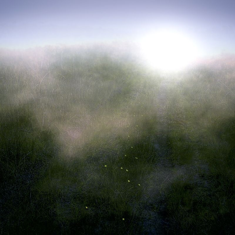
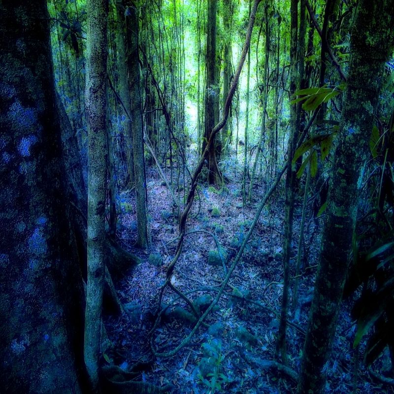
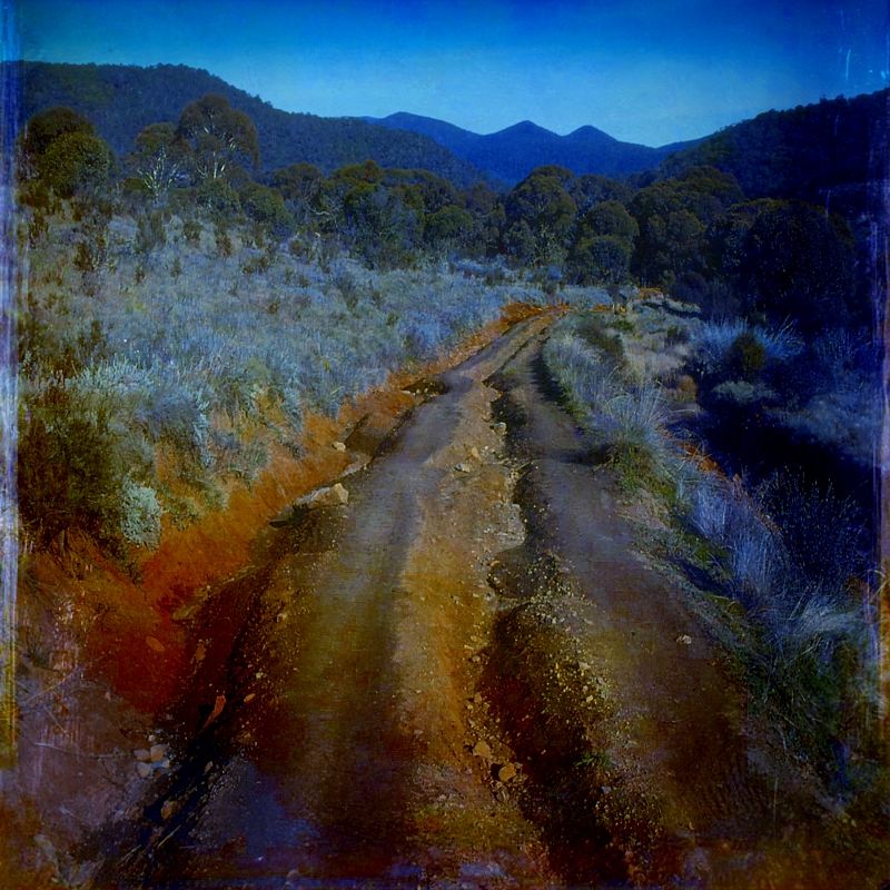
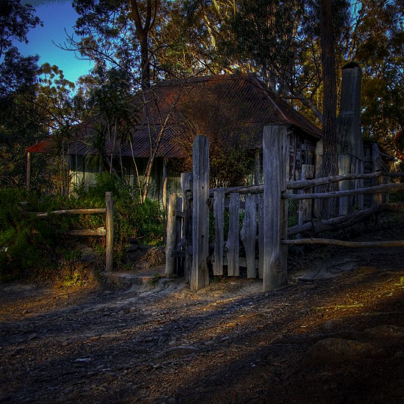
Kanangra, All of the images below are from the Old Coach Road or using the Border Track where the road has been lost. I've tried to keep the Autumn theme going but there are a couple of shots from Spring.
The Old Coach Road from Murrumbateman to Lake Bathurst is now a decommissioned Travelling Stock Route with only 3 extant Travelling Stock Reserves and 2 nature reserves, linking to the heritage value of the old road. I have turned into a rural bush walker. I'm a huge fan of the TSRs, the Travelling Stock Routes and Travelling Stock Reserves of New South Wales.
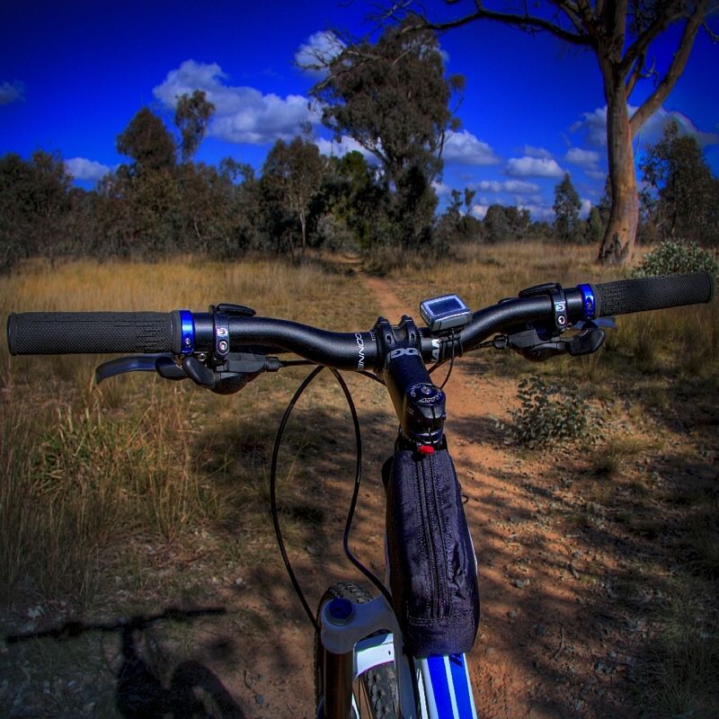
The Old Coach Road is intact through Mulligan's Nature Reserve and the joining Goorooyaroo Nature Reserve. Parts of the road from Mount Majura to Bungendore can still be seen on Google Earth. Within the Canberra Nature Reserves there is only about 3-4 kilometres of track which is actually called the Old Coach Road. I did the complete route from Murrumbateman to Ginn's Gap on my mountain bike and it was a full on day and well worth the effort of the several steep hills. My bike is a push bike it likes going down but not going up. Walking the route could take nearly 3 days to reach Ginn's Gap.
The Old Coach Road constructed in 1880 was the main route that linked the early rural settlements in the region to Bungendore, Lake Bathurst and then Sydney. The remaining road now begins at Gundaroo Road and runs east to pass over the ACT Border on the lower slopes of Gooroo Hill in NSW, towards the pass known as Ginn's Gap. It then linked up to Mac's Reef Road to cross the Lake George escarpment at Smiths Gap and then on to Bungendore to terminated at the rail line. The rail line was completed in 1885. If you link the Old Coach Road with the track on Schistuss Ridge (parallel to Gundaroo Road) to reach North Mulligan's Flat you have basically remained on the Old Coach Road and the Border Track can then be then navigated heading NW on horse trails to Spring Range Road.
Comments from Travellers describing their experience on the Old Coach Road.
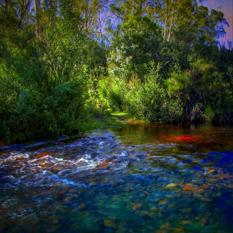
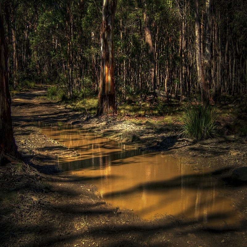
' ... nothing but bush track with no bridges over the water courses.' ... several crossings of the the Yass River and its tributaries, when they actually had water in them, unlike the dry old loss they are today.
'It was quite lively ... what with the whole of the travelling public, including such a large number if carriers, with hundreds of horses and working bullocks, and bells by hundreds tinkling, from deep note of the bull-frog to the little sheep tinkle.'If you follow the Border Track from Spring Range Road remaining on the Border Track all the way to Ginn's Gap, the views from Oak Hill, Gooroo Hill and then Old Joe Hill of the ACT are well worth the effort. All of the historic survey markers are all to be see from the track.
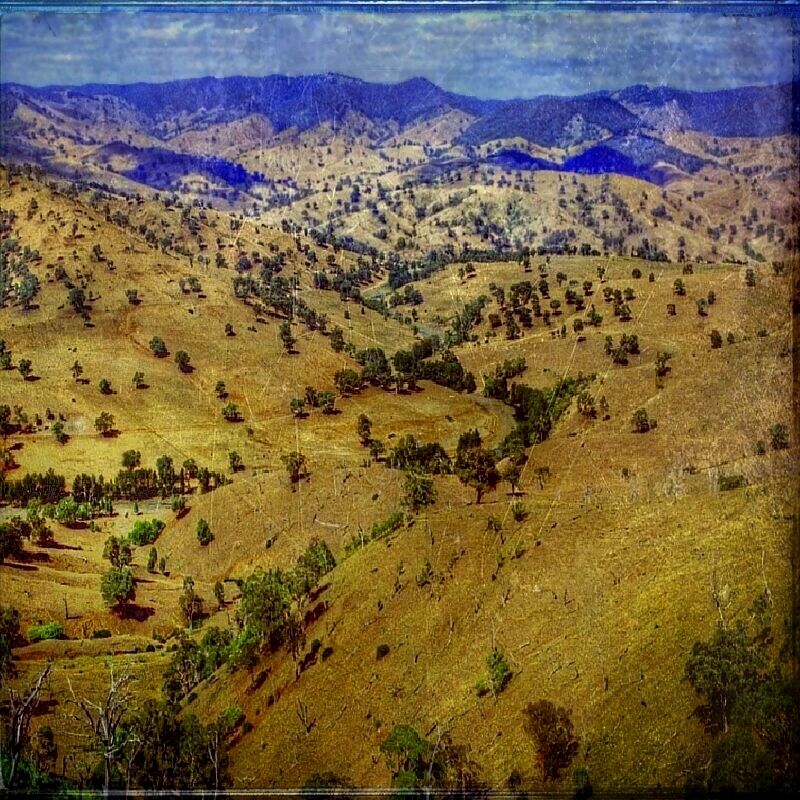
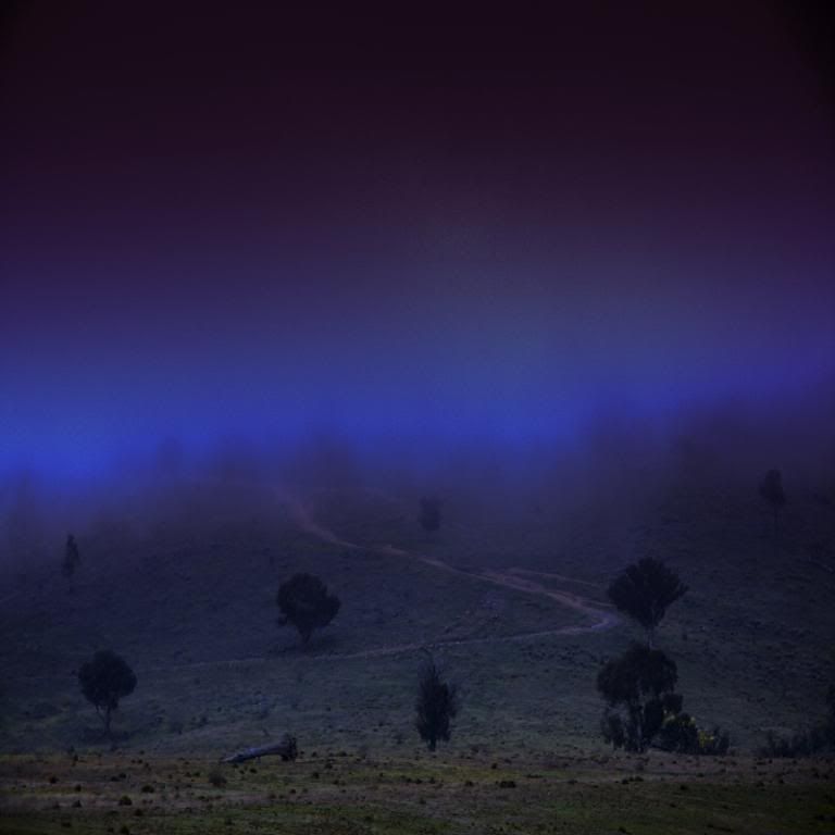
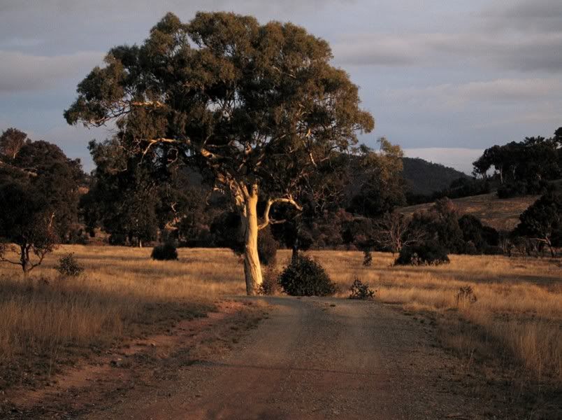
Scene from Nanima Road of Mount Spring. This was the route from Murrumbateman.
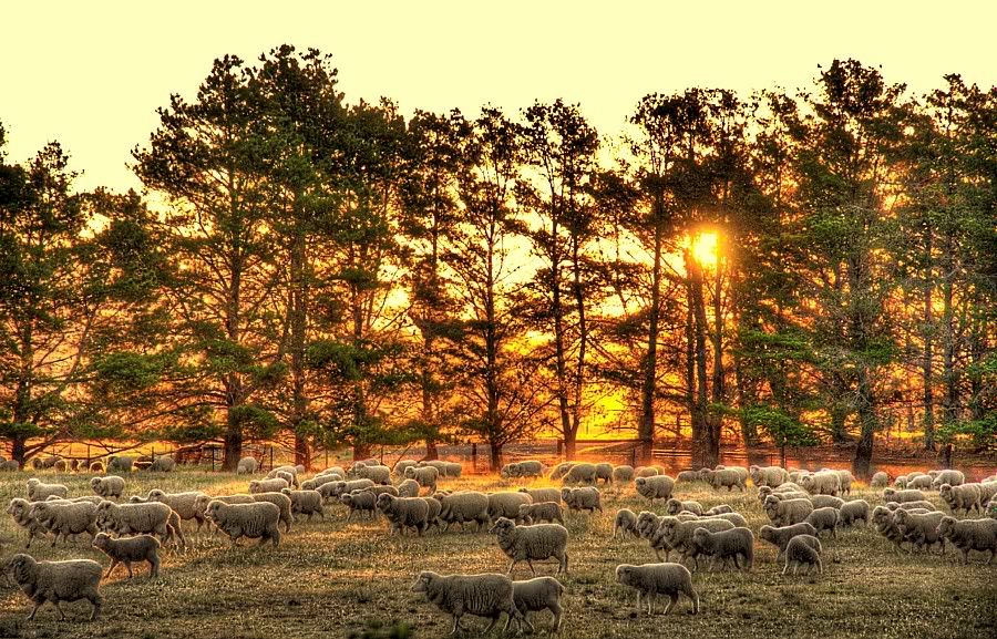
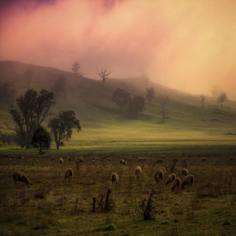
A Morning for Sheep. Below the NE ridge of Mount Bedalluck.
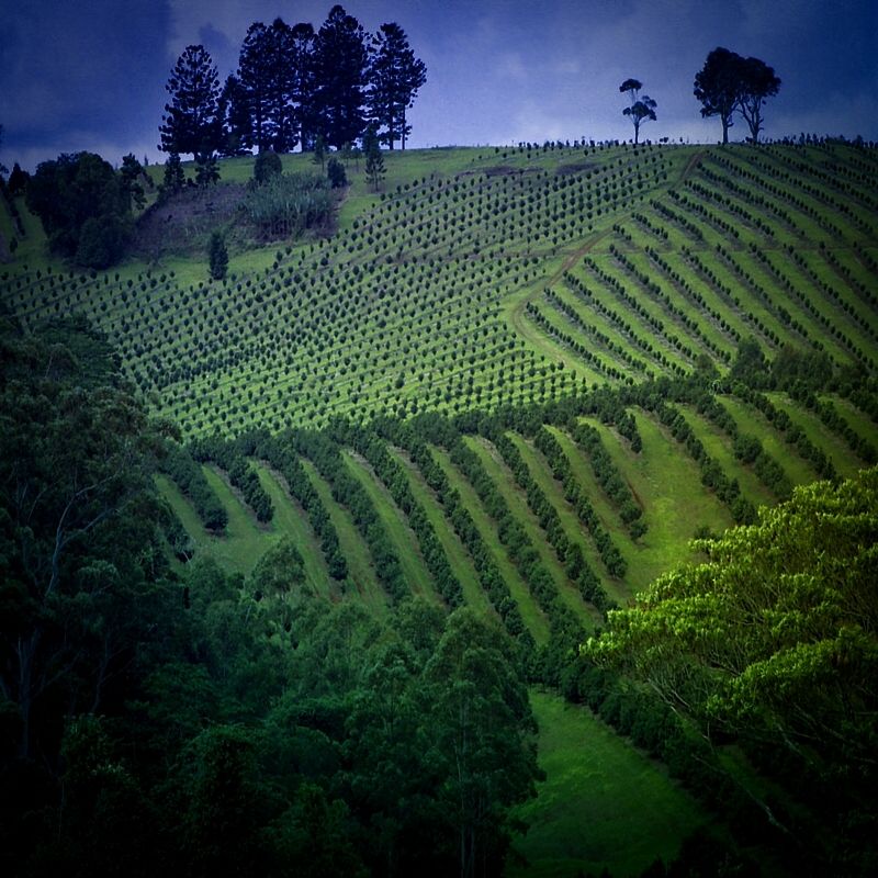
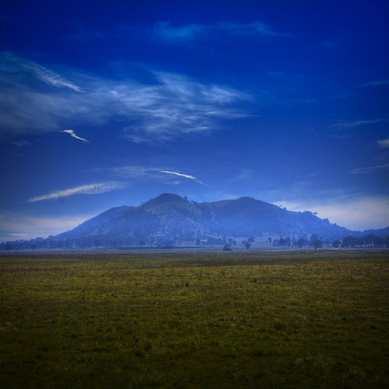
Spring Range, from the Bedalluck Travelling Stock Route.
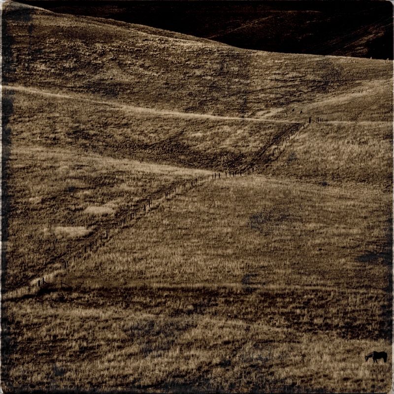
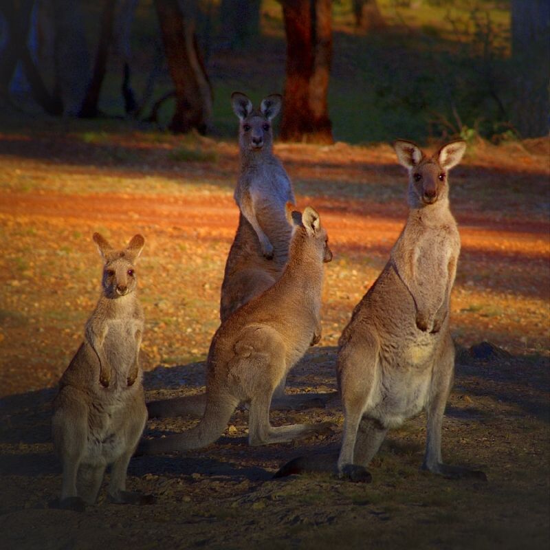
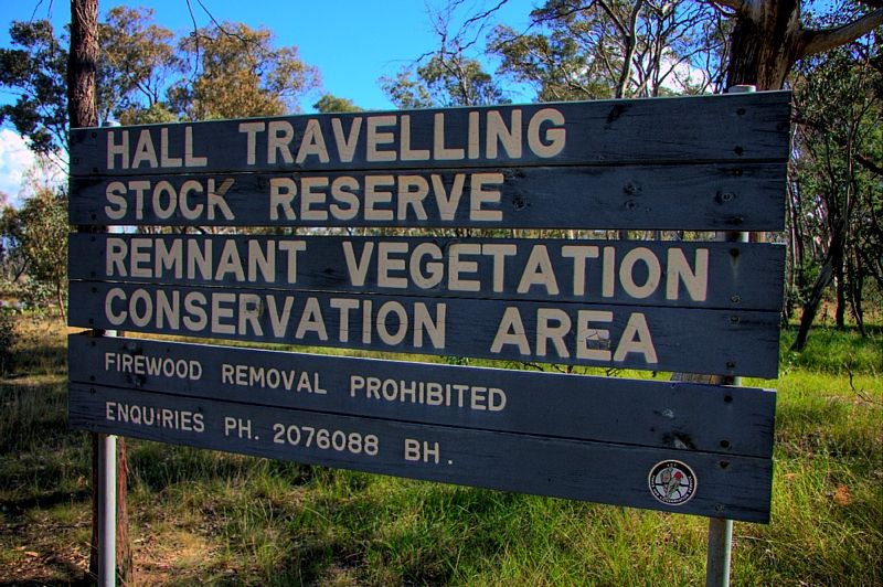
Hall Travelling Stock Reserve, is a reasonably dense woodland dominated by Blakley's Red Gum with occasional rough-bark Yellow Box, Apple Box and Red Stringy-barks. This reserve suffers from the removal of all the standing and fallen timber. The Reserve has predominantly been used for the grazing of horses and is dominated by introduced species of grass like Phalaris and Rabbit's Foot. Normally the TSRs have pristine or near-pristine native vegetation, but not Hall TSR sadly. Hall TSR is not a shining light, as a ribbon of genetic inheritance.
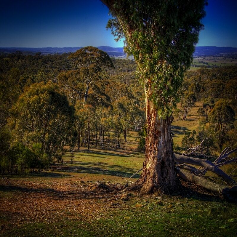
The Border Track and a Red Gum. View from Oak Hill in the NW corner of Mulligan's Flat Nature Reserve looking over the Limestone Plains. I was standing in the ACT looking into NSW. The grassy flat on the right just past the forest is the Limestone Plains which was the original location that was proposed for our Nation's Capital at the time of Federation when the politicians were arguing between Wodonga and the Limestone Plains as the site. The dirt tracks between the paddocks are still called distinguished names like Queen's Terrace, King Street and Empire Circuit, Dominion Avenue etc, etc, still in anticipation, but it is better known now as the Old Gundarroo Road and the Bicentennial National Trail. Kanangra, I hope you wanted to know all that.
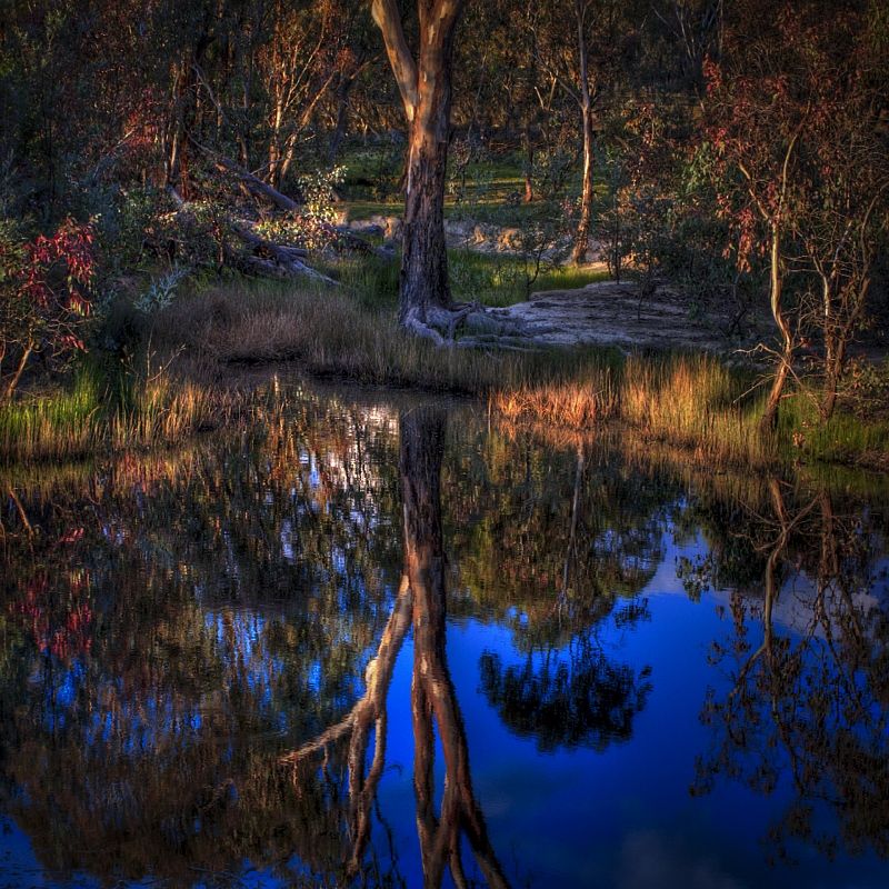
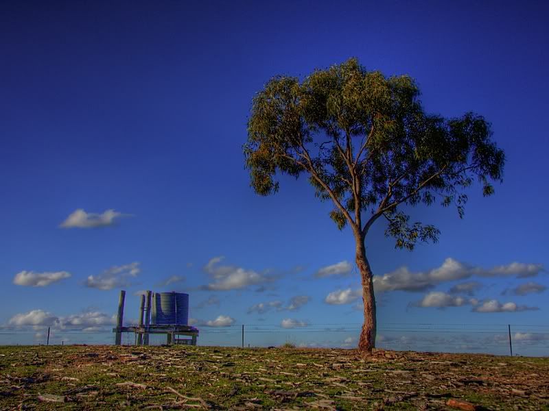
The tank is in New South Wales and this Broad-leaved Peppermint is in the Australian Capital Territory ... courtesy of the Border Track.
Linking the Border Track to the Old Coach Road along Schistuss Ridge.
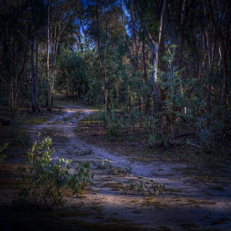
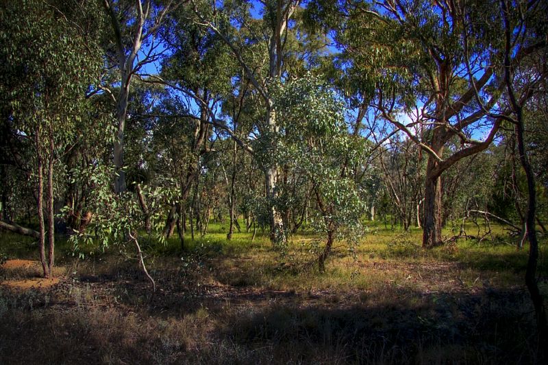
A golden glow in the late afternoon. A group of Inland Scribbly Barks on Mulligan's Main Track.
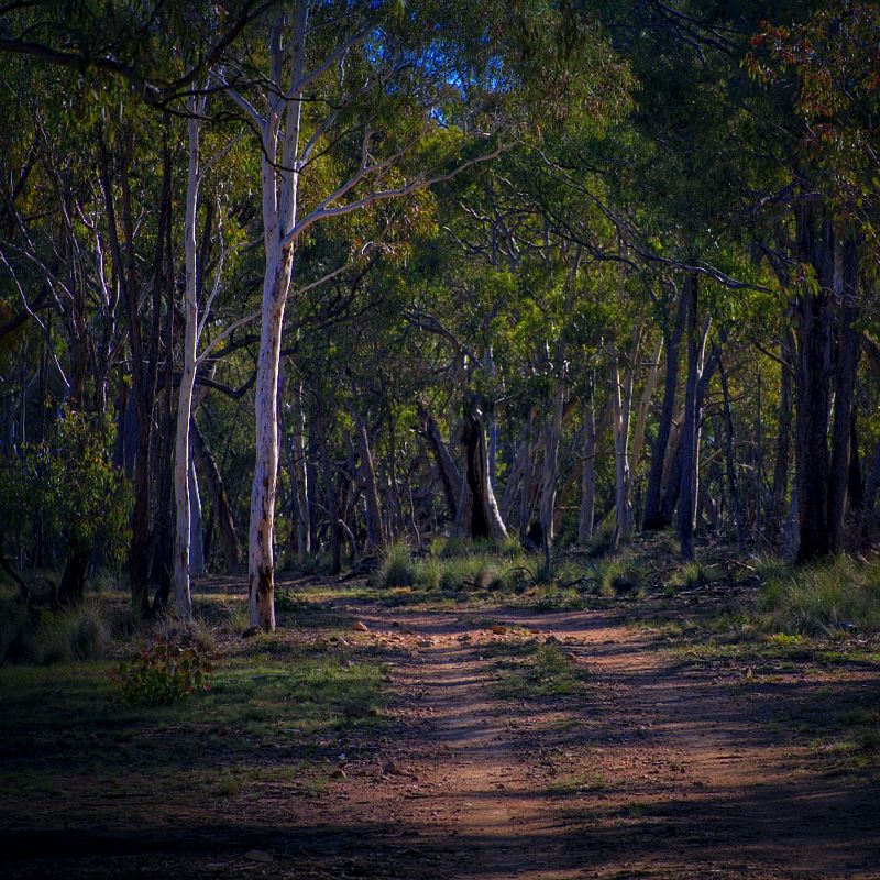
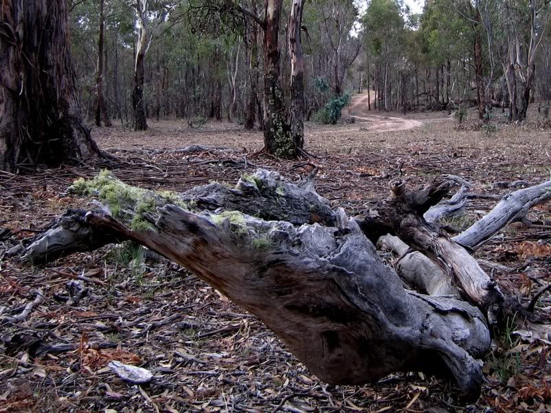
Dunnarts Track, Goorooyaroo Nature Reserve.
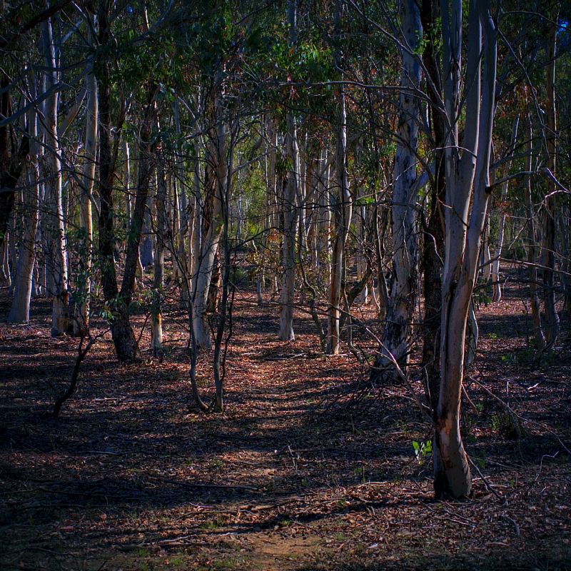
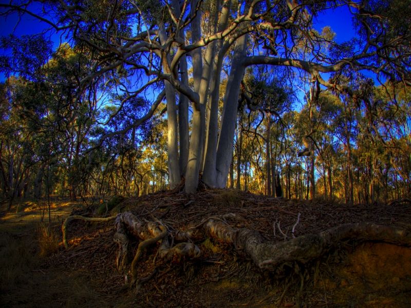
'Country Gossips' and a Blakely's Red Gum. Goorooyaroo Track, Goorooyaroo Nature Reserve.
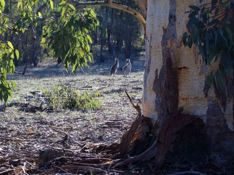
Heading towards Ginn's Gap. Mount Majura is in the background. Goorooyaroo Track, Goorooyaroo Nature Reserve. Blakely's Red Gum is also called Smooth-barked Red Gum, this stunning specimen, is as smooth as it gets. The ridge on the right is Burnt Stump Hill.
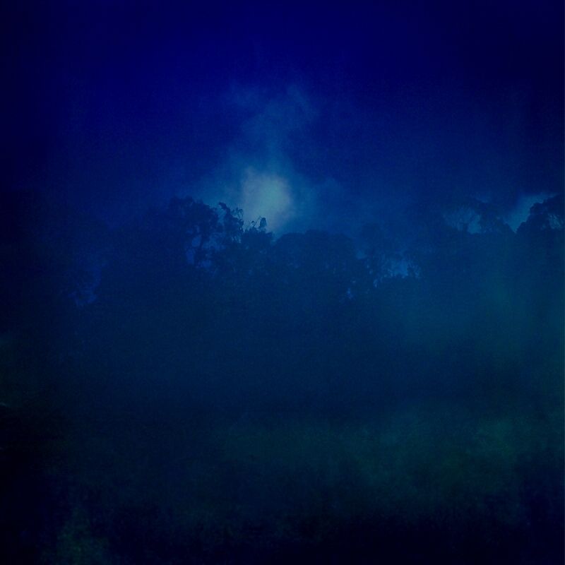
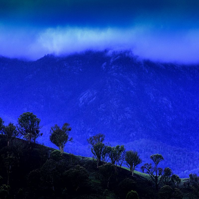
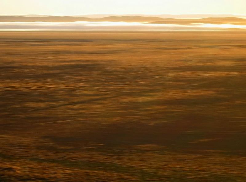
Low cloud on Lake George. The town of Bungendore is just out of the shot, top right. Lake Bathurst is over the first range in the saddle towards the centre. The first known Travelling Stock Route in Australia was the Snowy TSR. During the drought of 1828 Aboriginal stockmen walked stock from Lake George to the country known as Berridale, the NE slopes of the Snowy Mountains.
A site for the Canberra Nature Park Maps ...
http://www.tams.act.gov.au/play/parks_c ... parks_maps Warren.