Competitions, photo games, and other forum hosted games.
Forum rules
Only administrators may post new topics to this forum. Registered users can post replies.
Mon 31 Aug, 2020 8:45 pm
North from both of those
Mon 31 Aug, 2020 9:08 pm
Little Throne?
Mon 31 Aug, 2020 11:49 pm
South from Little Throne.
I believe only the lake will have a name.
Tue 01 Sep, 2020 8:21 am
I’m running out of named lakes and tarns but maybe Lexie?
Tue 01 Sep, 2020 10:14 am
And that would be it - Lake Lexie
Tue 01 Sep, 2020 11:45 am
Thanks, wouldn’t have got it without the clues. Moving on to the post-apocalypse...

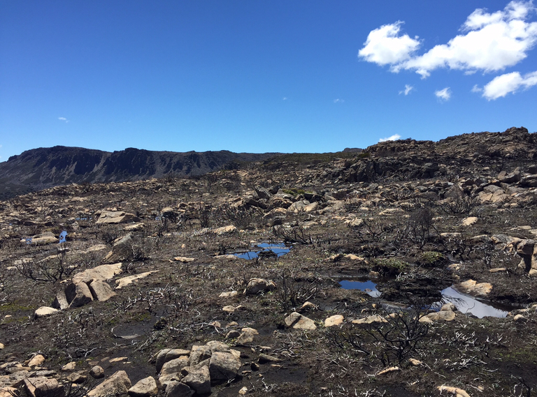
- Walking out towards Western Bluff
- A.jpg (547.2 KiB) Viewed 19639 times
Last edited by
Osik on Wed 02 Sep, 2020 7:36 am, edited 1 time in total.
Tue 01 Sep, 2020 9:22 pm
Howell's Bluff?
Wed 02 Sep, 2020 5:40 am
You’re in the right part of the state, & at least half right
Wed 02 Sep, 2020 6:42 am
It looks to me more like the view from a bit east and possibly south of Western Bluff, looking back towards Parmeener etc. Must have been up there fairly soon after the fires.
Wed 02 Sep, 2020 7:35 am
Close enough NNW, I'm on the edge of the escarpment south of Western Bluff (walking out from Lake Mackenzie rd) but actually looking towards Western Bluff itself. I think I got in just after the road re-opened, was a pretty sad sight. Take it away
Wed 02 Sep, 2020 8:33 am
Thanks. I was up at Western in July. It's recovering nicely, except for the pencil pines. Still looks pretty bad around Blue Peaks track.
- Attachments
-

Wed 02 Sep, 2020 5:56 pm
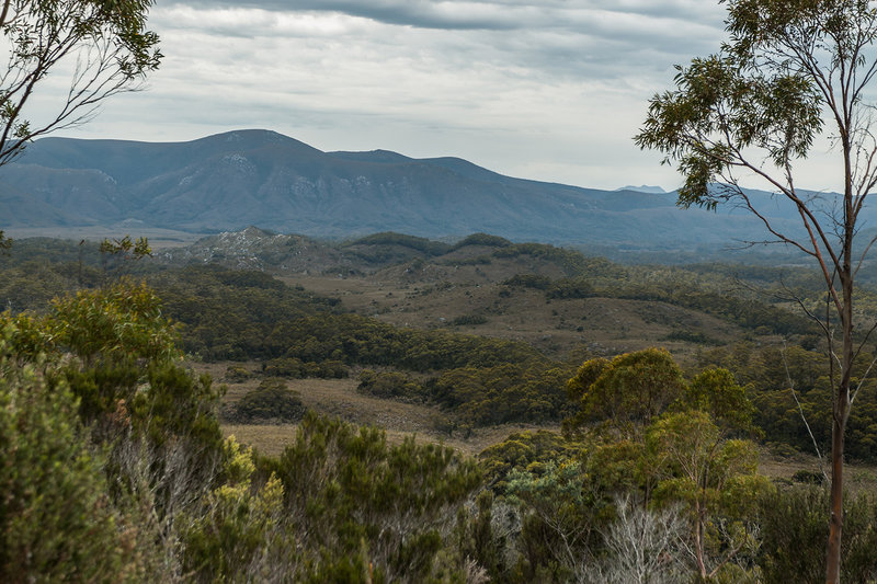
Is there a track in the foreground? Somewhere on the Port Davey track?
Wed 02 Sep, 2020 6:31 pm
Closeish but not really. While there is a track running through there, what you can see down below is merely some very old remains.
Thu 03 Sep, 2020 12:55 pm
I am, however, walking along a constructed line of travel.
Thu 03 Sep, 2020 1:39 pm
Maybe Moss Ridge? Though constructed might be generous. Is that the South Picton Range & Picton in view?
Thu 03 Sep, 2020 3:05 pm
I am not on a walking track/pad. You can see Picton, but not the South Picton Range.
Thu 03 Sep, 2020 5:14 pm
Hesitates... its not a few days yet, but it is a WAG ....
Red Knoll Road?
Thu 03 Sep, 2020 6:25 pm
Almost. Very very nearly, but not quite. in a generous mood, I'd give it, but you still haven't been completely forgiven for the last one.

Thu 03 Sep, 2020 9:03 pm
Is this long enough......
Try this marker on the road to the tower
Fri 04 Sep, 2020 6:49 am
Adequate. All that was really necessary was to mention the access road to the seismic station, but the map is a nice touch. I assume you've plotted that on the angle across to Picton? Very impressive.
Fri 04 Sep, 2020 10:03 am
Not Picton - but the rocky outcrop lined up with the larger hill behind
This would be easy on a clearer day
Sat 05 Sep, 2020 9:18 am
Judds Charm outlet looking towards Lightning Ridge
Sat 05 Sep, 2020 1:42 pm
Long way north from there and lots more people see this.
Sat 05 Sep, 2020 2:30 pm
Lake Lilla?
Sat 05 Sep, 2020 2:37 pm
Yes. Lake Lilla outlet
Sat 05 Sep, 2020 3:05 pm
Thanks Eggs, It helped having been there recently. Next
- Attachments
-

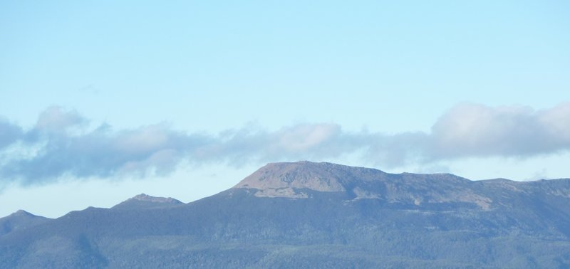
- Nevada Peak viewed from the Lonely Tarns
Last edited by
Last on Tue 08 Sep, 2020 2:22 pm, edited 1 time in total.
Mon 07 Sep, 2020 12:53 pm
My location is near to a spot recently mentioned.
Mon 07 Sep, 2020 4:24 pm
Looking at Nevada peak from Mt Anne?
Mon 07 Sep, 2020 4:54 pm
Close, though not quite close enough. That is Nevada pictured.
Mon 07 Sep, 2020 9:29 pm
Eliza?
© Bushwalk Australia and contributors 2007-2013.
