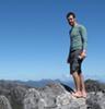
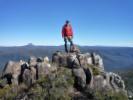
Mt Ossa
In early Dec, I did a 4 day round trip from the Lake Myrtle track, via Mt Rogoona to Lake Meston hut. Then down the Never Never and along the OT to Kia Ora hut. We climbed Mt Ossa on a perfect day, stayed at Pelion Hut and then walked out via Lees paddocks the next day.
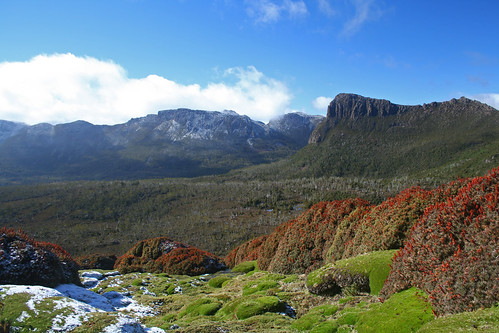
Looking toward Mt Massif from Mt Doris - It had snowed the night before our climb, so the shaded areas still held a light covering. The colours of the flowering scoparia were great to see.
Looking toward Cathedral Mt - The weather cleared as we reached the top, and so we spent half the day just sitting around the cliffs to the south of the summit, trying to take in the views of the valleys around us.
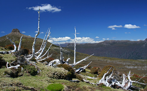
East Pelion from Mt Doris - Around midday the bleached pencil pines made a striking contrast to the surrounding colours.
Mt Innes
I then spent close to 2 weeks over the New Year at Birches Inlet, on the west coast off Macquarie harbor. It’s about a 1-2 hour boat ride from Strahan (depending on the boat), and then a further 5 min up a smaller creek, then finally 300m along a boardwalk to a hut. It feels like the most remote place in Tasmania…
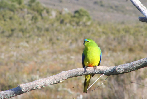
The main reason I was here was to help in monitoring the Orange Bellied Parrot that breeds in the area. Similar to Melaleuka which is further south, every morning and evening birds come to the feeding platform and volunteers sit in the nearby hides and record the letters on their leg bands.
The hut we stayed in was positioned right at the start of the Low Rocky Point track, a relatively wide track that goes 60km down along the west coast. Going through the hut logbook, I found that a walking club parties from Launceston and Deloraine had come through this way to climb the nearby D'Aguilar range.
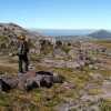
Of course after one week of being taunted by this range I had to climb it myself, and making do with a tarp for a tent, I spent a long 5 hours walking 20km along the Low rocky point track, eventually finding a side track to bring me all the way to the base of the range.
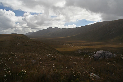
The D'Aguilar range.
Going off track as I climbed along the range wasn’t as bad as I’d thought, the button grass is about as tiring as walking through a foot of snow I guess. Although the picture may not show it, the slopes were quite steep and even slippery in places. The feeling of freedom after walking along a hard stony road all day was incredible.
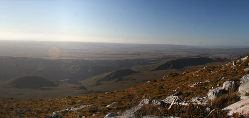
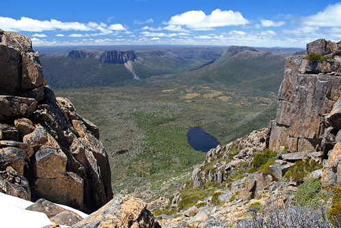
The view from Mt Innes was very rewarding, even though its only 660m high, the view north along the range to Mt Lee and Frenchmans Cap, and the rugged Prince of Wales range to the east were worthy of any >1000m peak in Tassie.
Western Arthurs
More recently this summer I did an A-K traverse of the Western Arthur range.
We drove down from Launceston to begin at Scotts Peak Dam by 9am. In the car park we met a group from the Deloraine walking club who planned to do the A-K traverse as well, although we never saw them again during the trip. Turned out they had turned back after reaching Lake Oberon.
Due to the recent rains the track to junction creek was a 3 hour muddy slog, similar to the lodden plains at times. After lunch at the base of the range, the 700m climb up Moraine A took us close to 3 hours, the grasses and banksia trees still blackened by the recent bushfire.
It was heartening to see the weather clearing as we climbed, although we did meet 2 returning walkers who had spent 3 nights of rain at Lake Oberon waiting for good weather... A reminder of the weather conditions in this region.
We awoke the next day at Lake Cygnet to steady rain and generally poor weather, but decided to keep going to Lake Oberon. At once stage during the day the clouds cleared to reveal Square Lake and the surrounding mountain, but I still didn’t truly feel like I was in the Arthurs until the 3rd day, which although started off overcast, turned out to be a perfect day.
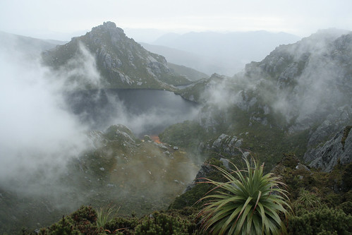
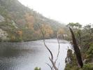
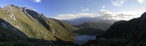
Lake Oberon at 8am on the morning of 3rd day

Lake Titania
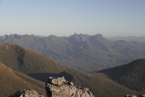
Climbing over Mt Pegasus, having lunch on Mt Capricorn and then dropping steeply down the side of Capricorn made up an incredible day. We had High Moor to ourselves and a perfect evening to spend on Mt Columba.
High Moor and Dorado Peak from Mt Columba
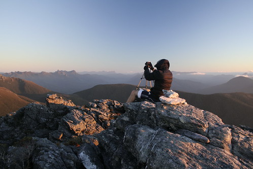
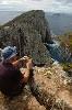
Taking photos on Mt Columba
A distant view of Federation Peak
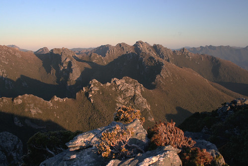
Looking east along the range. The 4th day involved climbing along the ‘Beggary bumps’ which you can see in the mid-ground here.
Coming down Tilted Chasm was a little unnerving, it’s hard to capture the steepness of it in photos. Looking back at where you we had walked, it was hard to believe that the track just goes over it all…
We spent our last night at Haven Lake, and like John’s book said, it was quite windy, certainly not a haven.
Mt Aldebaran and Lake Jupiter from near Haven Lake
On the last day we walked down Moraine K and out along McKays track, then finally back to SPD. I'll have to complete the full traverse one day.
Nick S