Starting below Dead Horse Gap, on the AAWT (not on the old Dead Horse Gap Saddle Trail) I walked over the Rams Head Range. Then I turned around at Rawson Pass to follow the elevated lame-way South, back to Thredbo Top Station and took the chairlift down to the village. That was about 14 klicks all up, on the day. The light wasn't that great. Summer generally isn't a good time for daytime photography, with the sun being so high. With the chairlift no longer running after 4.30pm, taking advantage of the late afternoon light up top, wasn't in the question. Here are a few of the better shots.
The day before I did the walk, I drove to Dead Horse Gap to reccy a track to take and revisit a few cultural sites. I chose the easier AAWT, rather than the Dead Horse Gap Saddle Track, that I'd already climbed, 25 years previously.
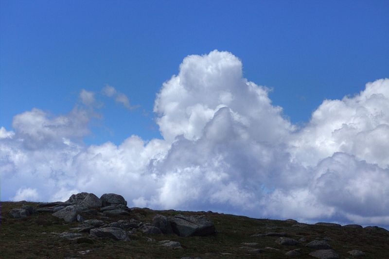
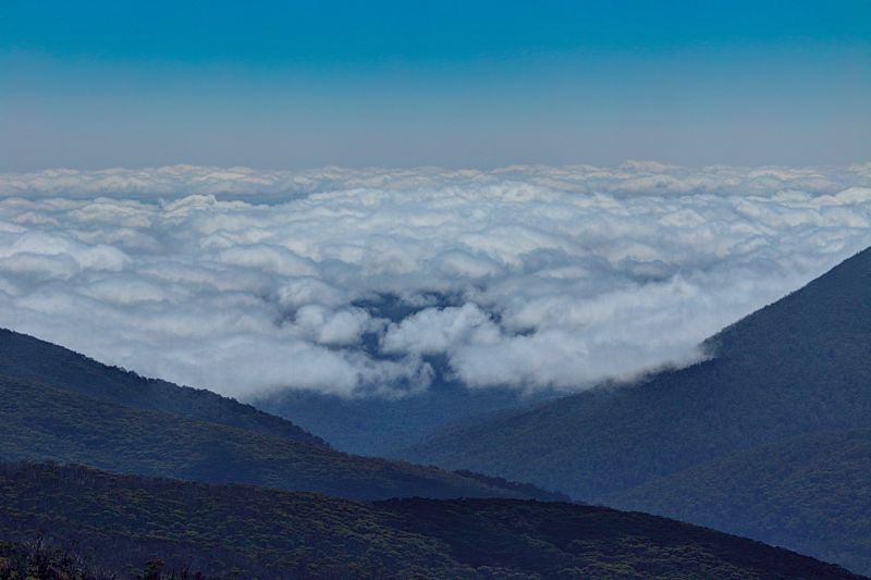
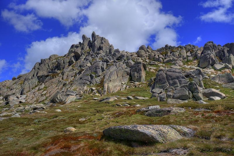
The next day, 8.05am, Tuesday 3rd February, 2015, the atmospherics started well on Knob Hill.
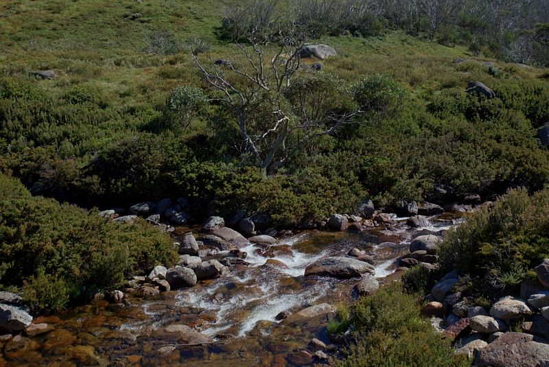
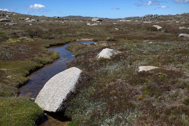
At the confluence of Thredbo River and Bogong Creek. When the low cloud lifted the brightness range became harsh. Retaining the highlight detail, in the white water, has been to the detriment of the other values in the image.
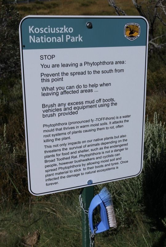
A relatively new sign. To the unknowing, the devastation here, appears to be huge. The sign warning about reducing the spreading Phytophthera, a soil-borne water mould is relatively new at Dead Horse Gap. The researchers aren't sure if the mould has been brought into the region or it has always been there but dormant. It is suggested that now changing climatic conditions have allowed the mould to become more active.
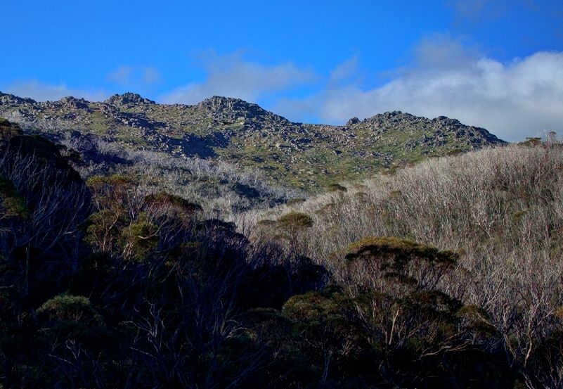
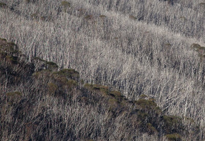
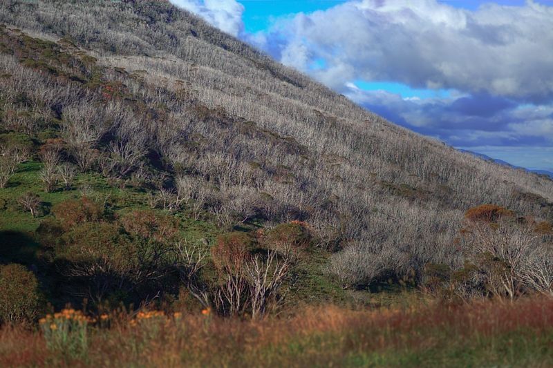
The 2003 fires are responsible for almost all of the damaged trees in the next photo. The trees are all the one species, Snow Gums, E.pauciflora. These trees are regenerating from the base of their trunks. So, not all is lost.
Scatterings of Phytophthora have been discovered in Kosciuszko NP's sub-alpine and alpine landscapes. Between Dead Horse Gap and Mount Jagungal, so far. Dr Ken Green (NSW National Parks and Wildlife Service) and Dr Keith McDougall (NSW Department of Environment and Climate Change) have identified Phytophthra affecting high country shrubs like, Nematolepis ovatifolia, amongst others ... but not these trees.
Photographically, I used too high an aperture when I took the next photo. I'd overlooked the degrading of the image, from the relationship of the camera's sensor size, my selected aperture and the pixel resolution and the massive subject detail . Diffraction limited photography, I think it is called, if this interests you ... Google it.
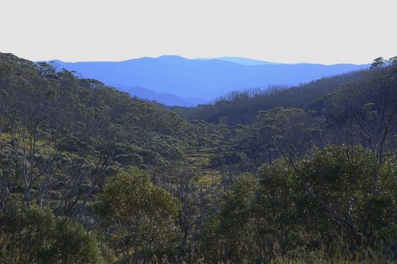
The next image was surprising. I took it about 10.30am. Looking NE along the Thredbo River Valley. The pollution from smoke haze above the clouds, has added a bit of unexpected warmth to what could have been a shot of cool hues.
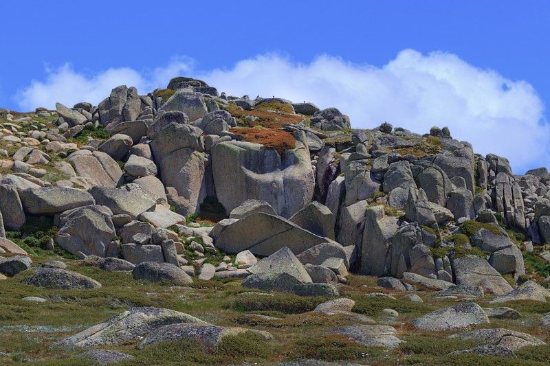
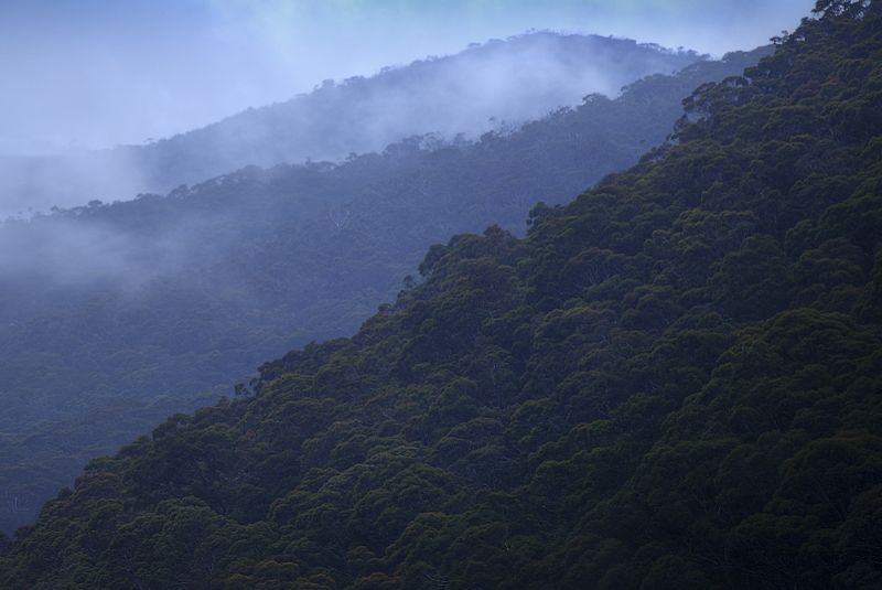
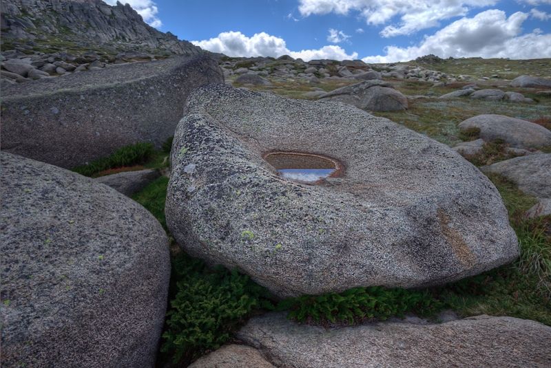
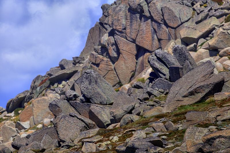
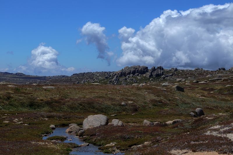
The next four images are of Ramshead, from below the escarpment. The shots within 5 minutes of each other. Photographically and pictorially, the day was off and on, with the light not helping. Here it isn't only the light that is erratic.
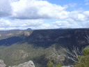
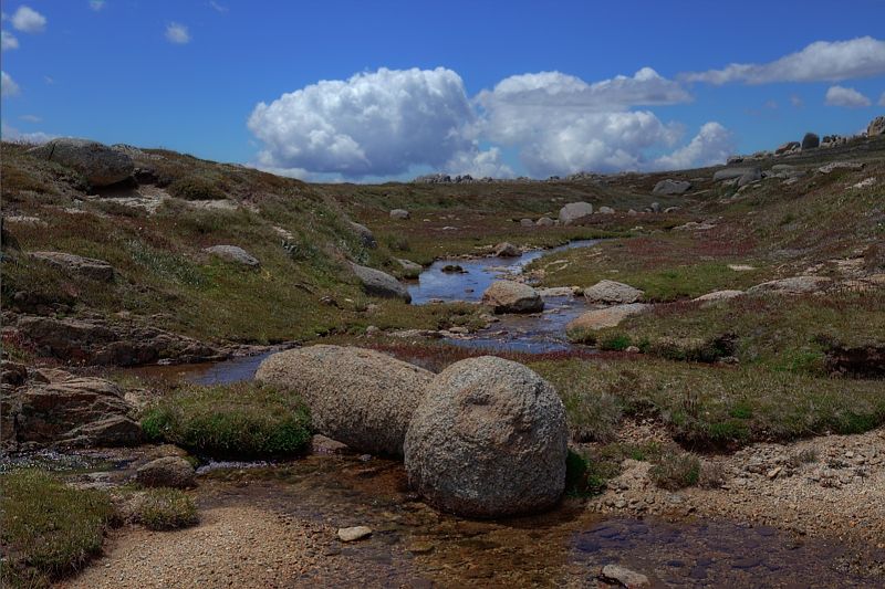
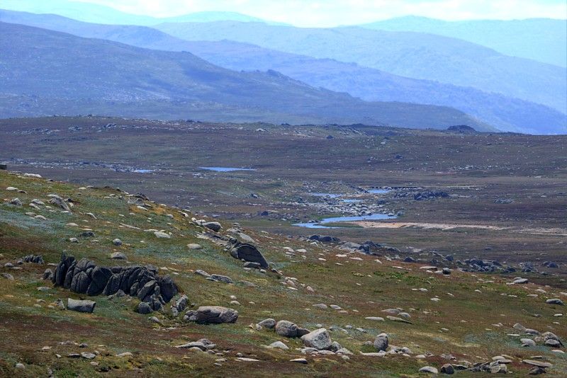
The next few images are of the Snowy River. From near North Ramshead, looking into Wilkinsons Valley, where the Snowy flows beneath the Summit Road.

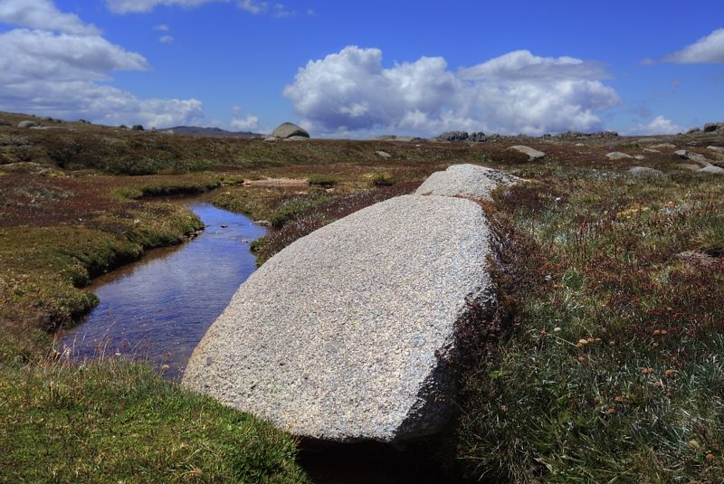
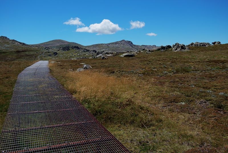
The seasonal hues of the late summer, above the tree line, are not that attractive. All I could think about was trying to make these analogous colours work. If anyone is wondering why this post isn't in Trip Reports the day wasn't a trip, it was pictorial exercise ... of photographic subjects in in non-photogenic conditions.
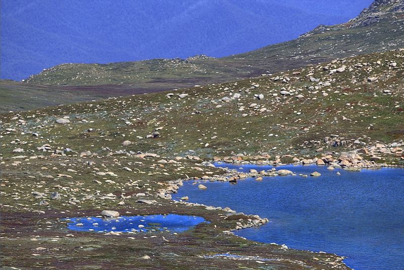
Lake Cootapatamba from Rawsons Pass.
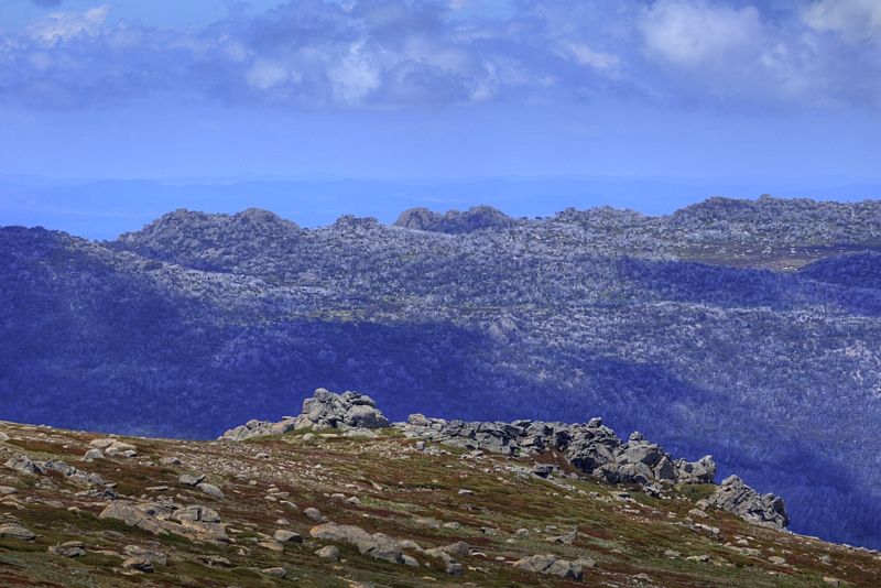
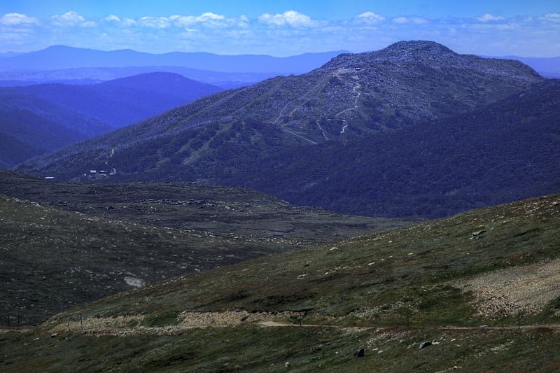
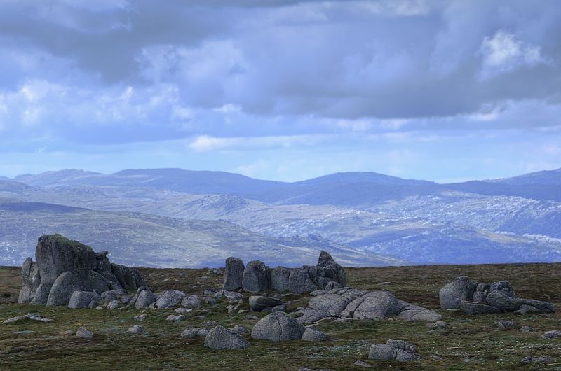
The Main Range from Rams Head. Here the aerial perspective, the effect the atmosphere has on the appearance of an object as it is viewed from a distance, works well.
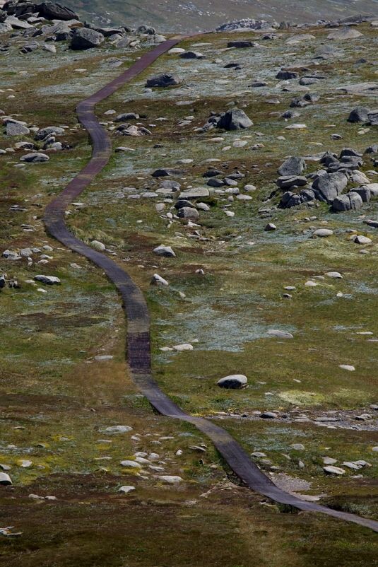
A giant land snake. One could say, contrasting complementaries for more than just the rusty walkway and the late summer hues. Some might say.
Mount Kosciuszko and Etheridge Ridee.
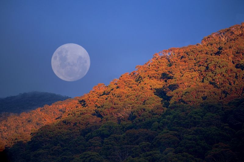
End of day ... and back to where I started from. Moon rise, 8.05pm, Tuesday 3rd February 2015.
Warren.