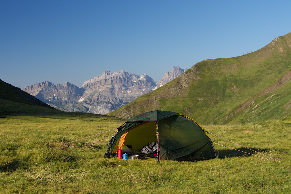
wayno wrote:cant see a hiking mid layer there? no fleece or synthetic jacket. or is the down the only insulation layer? not bothering about wet weather pants?
JamesMc wrote:Probably as hard as Western Arthurs.
Mark F wrote:I am part way though walking the HRP. I did Hendaye to Garvanie a couple of years ago and am returning in the end of June to complete the walk.
Footwear
I walked in TNF Hedgehogs (low cut, non waterproof) and they were quite satisfactory. This year I will use Salomon Synapse which I find grip a bit better on loose conditions. I will also take a pair of Dirty Girl gaiters to keep grit and muck out of my shoes.
This is encouraging... I'm not sold on high-cut boots (after wearing little else for the last 18 months) and after a few scrambly day-trips on Tassie dolerite scree I'm impressed with the Tevas. I think I'll invest in some short gaiters before I leave.
Snow. I experienced no snow on the path but I expect that the E sections will in the cols. It really depends on the year and how late in the season you are walking. It is the sections beyond Garvanie where the main possibilities of snow appear to be. I expect that for most of it, it will be a well trampled route across drifts that can be handled with care and walking poles just like I experienced on the GR5. I will most probably take the variant around the 4 day E section depending on what I hear from others at the time.
This matches what I've heard from others, thanks.
No real navigational difficulties unless you get fog in the Basque country. The GR10 and GR11 sections are well marked. Just keep you wits about you on the other parts.
I recommend carrying a few days supplies to make the most of the route.
The Cicerone guide is on target about supply opportunities although it doesn't mention col du Pourtalet (off route just after Pic du Midi d'Ossau) where you can get just about anything your heart desires - even screw thread gas canisters (but you need to search hard).
I did use a couple of refuges to eke out my supplies I really recommend Arremoulit (what a mountain refuge should be) and Bayssellance. I don't like the big refuges like Wallon and Oulettes de Gaube.
Thanks. After doing the Camino Frances last year I'm pretty keen to avoid the big refuges ...
I did treat drinking water as there is a lot of livestock around.
What did you use to treat? How much did you generally carry
Gear
I am unsure how you will go with the MSR. Fuel is easier to get for gas or metho stoves.
Hmmm the Whisperlite's convenient as a friend already has it in Europe, so I'd just have to pick it up at the start. I was also thinking of getting a Soto OD-1BS or OD-1R gas-stove so perhaps this is the way to go...
I would swap out one or both merino t shirts and replace with a 100 weight fleece and a wind shirt.
Get 2 pairs of Ex Officio undies (or equivalent) and ditch the rest.
I rinse out my dirty clothes at lunch time and they are almost dry before I set off again.
Thanks for the undies tip - I think I'll go down this route
The walk is hard but not that hard (I am 63). There is a bit over 1,000 metres of ascent on average each day but it sounds as though you should have no troubles at all. I certainly think it is one of the best walks I have ever (partially) done. The main thing is to take it easy and enjoy it. Don't rush from one refuge to the next; there are some wonderful spots to camp and enjoy the country. I find that getting about 1/2 a day out of sync with the guide works really well.
Thanks, I definitely plan to make the most of it
wayno wrote:thats not a bad weight for a 60 litre pack, you'd probably have to go into a lightweight pack to get lighter
nickthetasmaniac wrote:Thanks JamesJamesMc wrote:Probably as hard as Western Arthurs.
Really? Have you done the Western Arthurs?
Hallu wrote:First of all some clarification : will you be hiking the GR10 (classic traverse hike, in France) or the HRP (Haute Randonné Pyrénéenne, which only follow the crests and involve less elevation gain but more difficult unmarked tracks, crossing the border to Spain several times) ? Because "Hautes Pyrénées" ( http://en.wikipedia.org/wiki/Hautes-Pyr%C3%A9n%C3%A9es ) is actually a department (a type of administrative division) in France so your title actually means "hiking in the HP", it's confusing, while HRP means "high altitude hiking in the Pyrénées". So I don't know if you'll be just hiking in that region, or doing the full HRP traverse.
For the water, most villages use untreated water. So you could stay there for a while and check the surroundings, prepare yourself etc... and get used to the water. You can get diarrhea at first, but it passes quickly once your stomach's got the right bacterias. Be careful about stream water on the tracks, the Pyrénées have quite a bit of sheep farming, and their droppings can contaminate the streams. France isn't as maniac on water quality signs as Australia, so it can be a gamble. Although for the HRP I doubt you'd see much sheep.
Users browsing this forum: No registered users and 1 guest