MacKenzie - WoJ
Some shots from a recent four-day, off-track solo walk from Lake MacKenzie to Walls of J. The rough route was: Blue Peaks - Turrana Bluff (night 1) - Long Tarns - Daisy Lakes/Lake Nutting - Zion Gate - Dixons Kingdom (night 2) - Soloman's Throne/King Davids Peak - WDC (night 3, with sunset from the little summit to the north of Herods Gate) - out 
Fantastic trip generally. Found a great campsite amongst the pines by a little tarn near the top of Turrana Bluff (about 1380m) and it was also my first time in the Long Tarns - Zion Gate area, which looked pretty amazing in the mist!
Shot with a GH2, Lumix G 7-14, Nokton 25/f0.95 and SMC M50/f1.4.

Cathedral, Ossa and Pelion West in the distance.


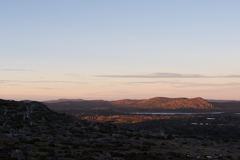
West from Herods Gate.

Clumber Bluff

Turrana Bluff
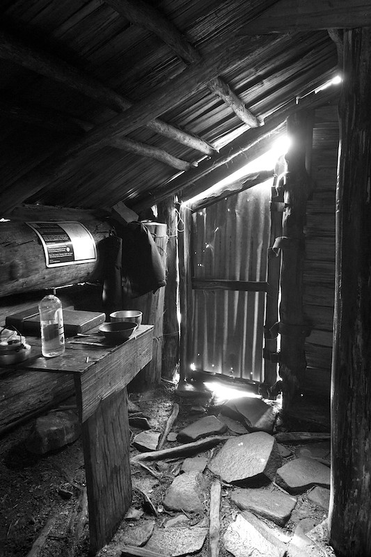
Dixons Kingdom Hut
Mt Jerusalem
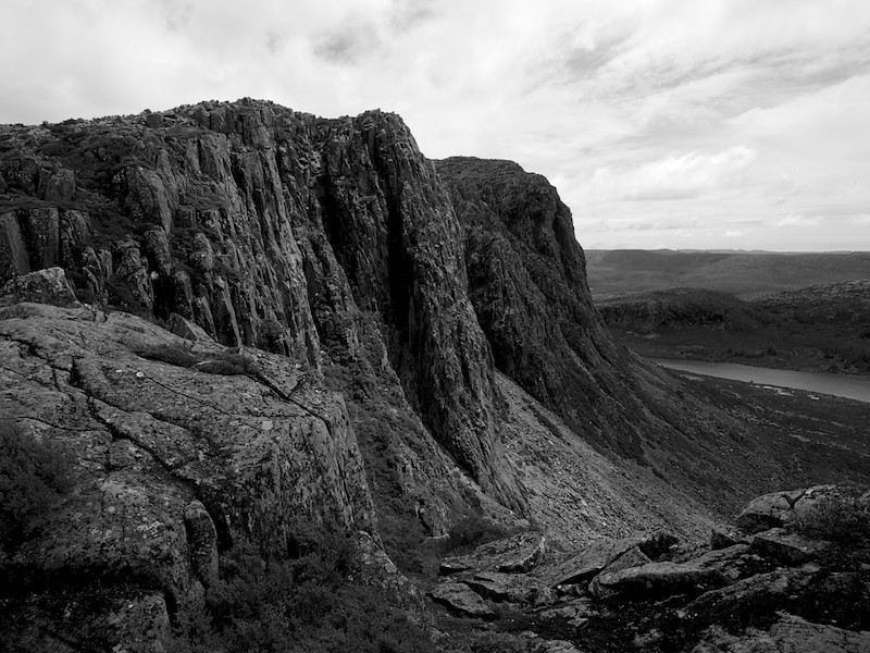
West Wall and King Davids Peak
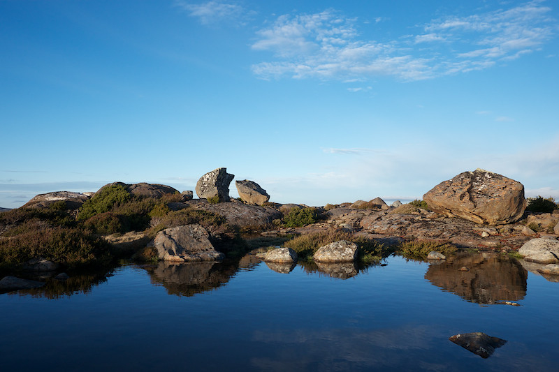
Blue Peaks from night 1 campsite.
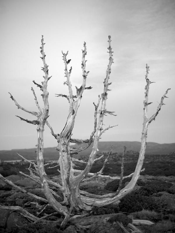
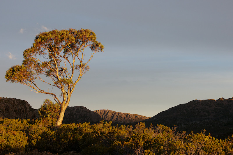
Dead pine on the Plateau
Fantastic trip generally. Found a great campsite amongst the pines by a little tarn near the top of Turrana Bluff (about 1380m) and it was also my first time in the Long Tarns - Zion Gate area, which looked pretty amazing in the mist!
Shot with a GH2, Lumix G 7-14, Nokton 25/f0.95 and SMC M50/f1.4.
Cathedral, Ossa and Pelion West in the distance.
West from Herods Gate.
Clumber Bluff
Turrana Bluff
Dixons Kingdom Hut
Mt Jerusalem
West Wall and King Davids Peak
Blue Peaks from night 1 campsite.
Dead pine on the Plateau