N'Western and Western Ranges of the ACT.
G'day.
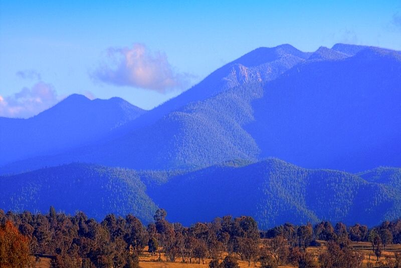
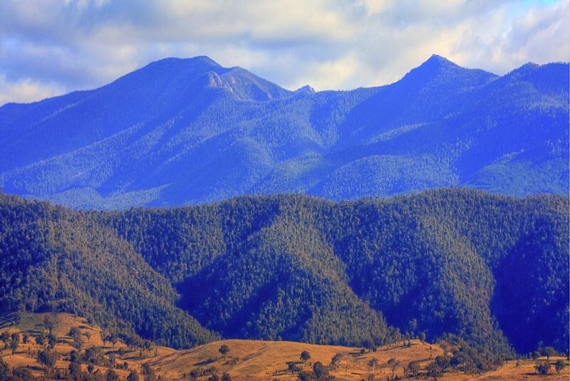
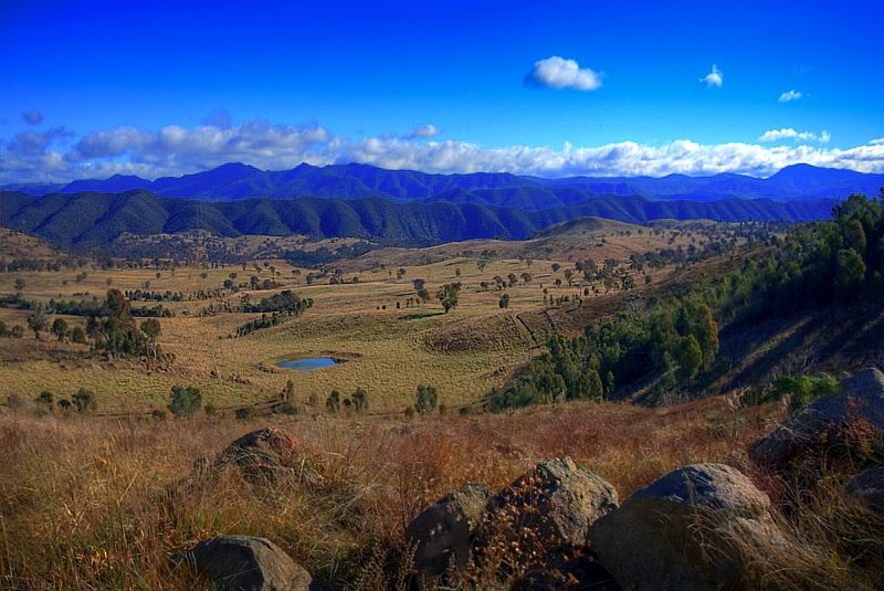
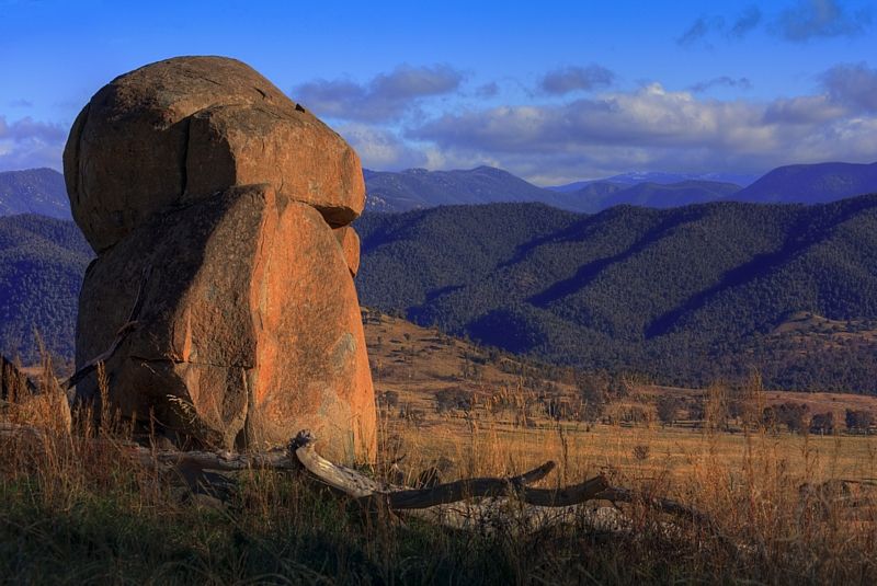
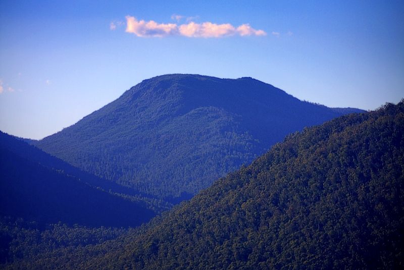
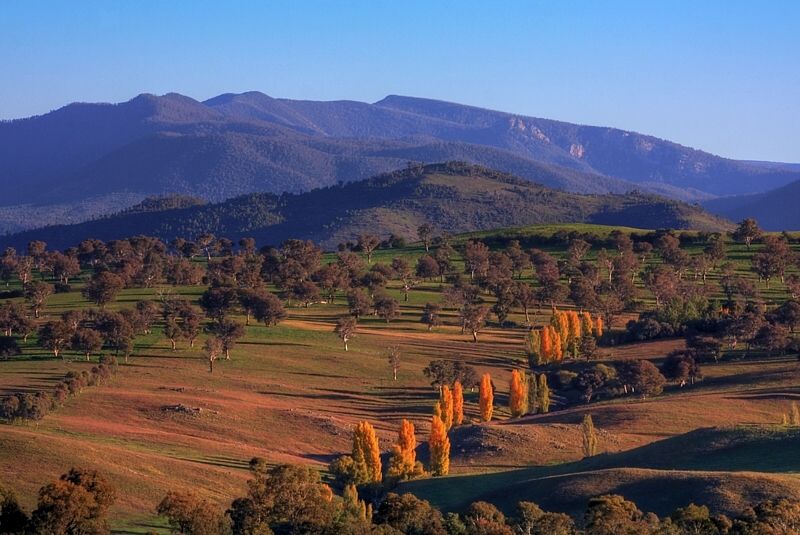
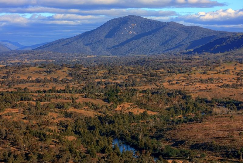
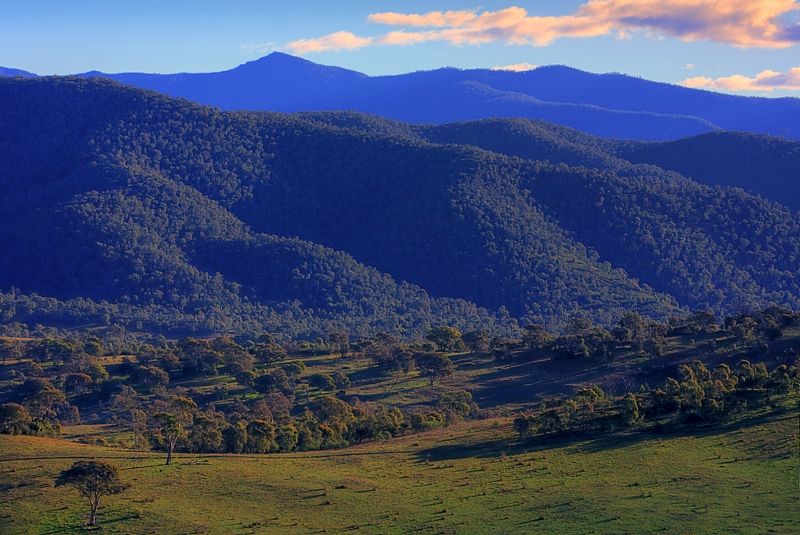
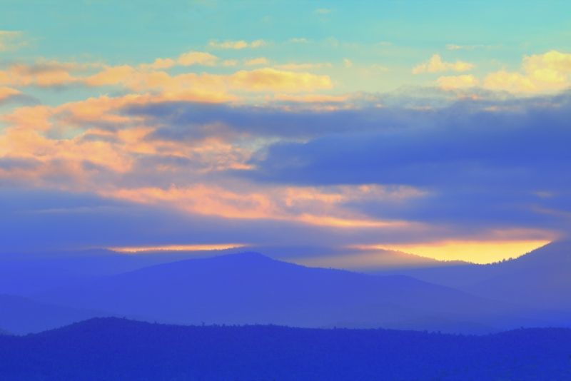
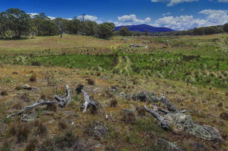
During the colder months that have just past, I went looking for interesting views of the N'Western and Western Ranges of the ACT. In the Brindabella, Tidbinbilla, Bullen, and Hardy Ranges amongst others. The weather was mostly clear but some days the wind and chill factor kept reminding me that these ranges are the spurs of the Northern Australian Alps.
Some may have seen NathanaelB's thread that I contributed to about Chance of Snow in Canberra Hills 17th July . Those shots were also from that time.
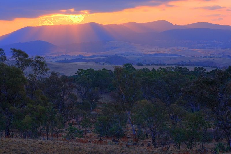
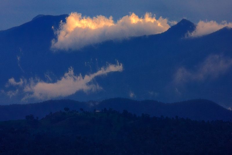
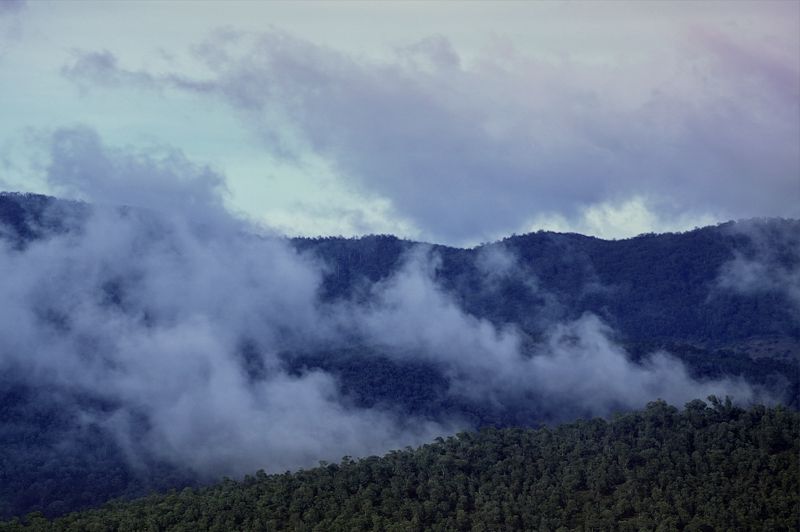
Some of the views were good to photograph especially at the times when the light and atmospherics were nice. I took several hundred photographs and did a couple of dozen drawings. Here are a few of my favourites. The main purpose wasn't only walking it was to find interesting views that others may not have seen and to draw and then to hopefully to paint.
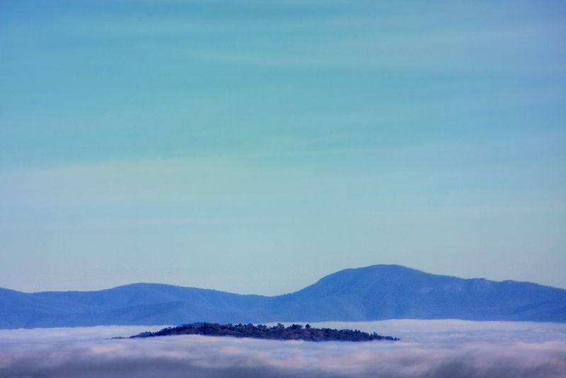
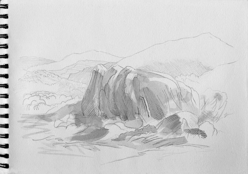
The Tidbinbilla Range has heaps of potential for unexpected views especially when seen from the North and from the edge of the Yass Plains.
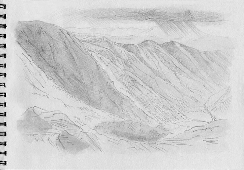
This final drawing is of Condor Hill on the NW edge of Namadgi National Park, from about a kilometre downstream of Vanity's crossing on the Cotter River. With fishing no longer allowed here, I thought that I'd like an image ... I'm guessing that with the raising of the Cotter Dam wall this area will eventually be flooded, once the reservoir fills to near capacity, sadly.

Warren.
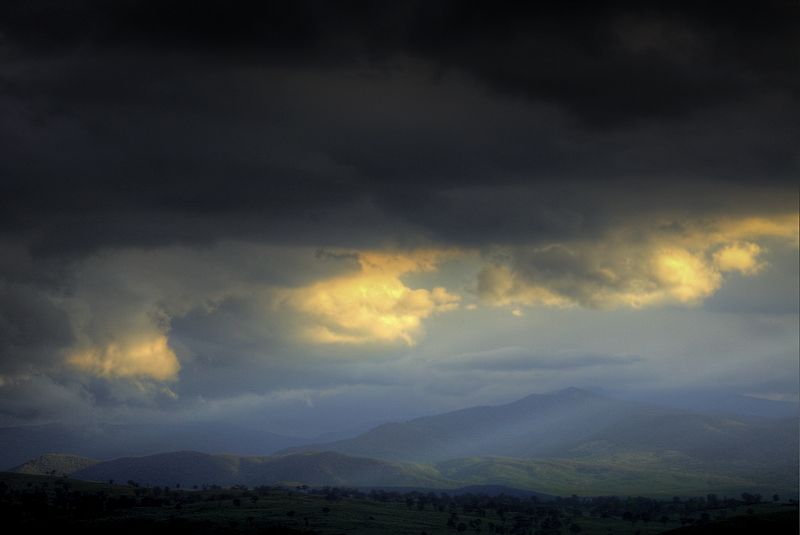
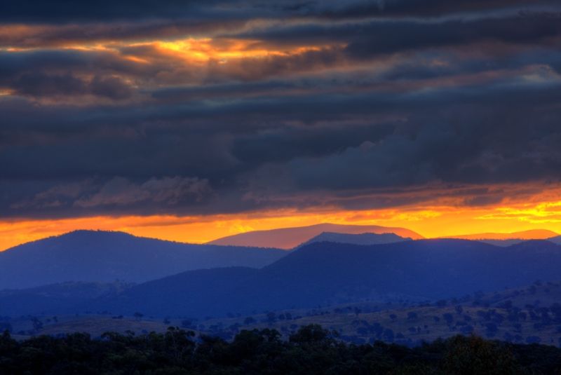
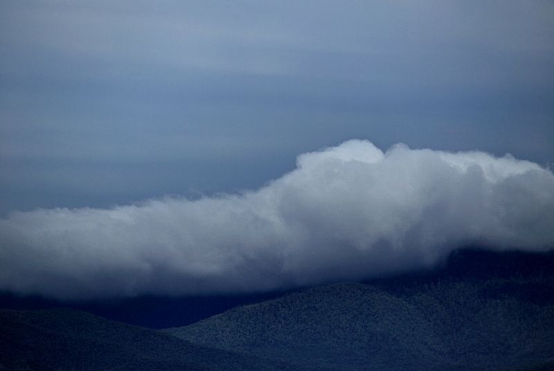
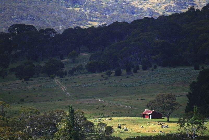
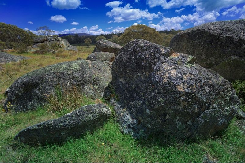
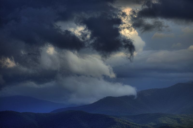
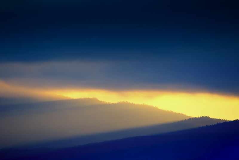
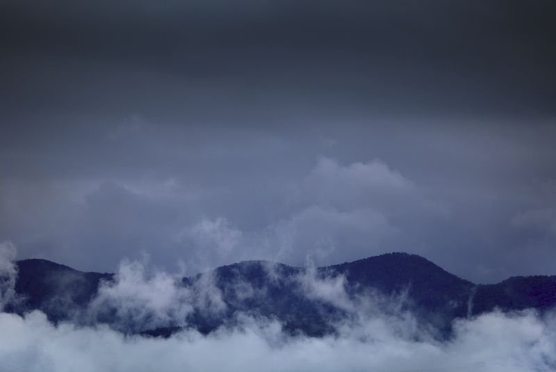
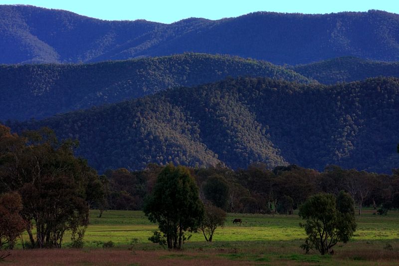
During the colder months that have just past, I went looking for interesting views of the N'Western and Western Ranges of the ACT. In the Brindabella, Tidbinbilla, Bullen, and Hardy Ranges amongst others. The weather was mostly clear but some days the wind and chill factor kept reminding me that these ranges are the spurs of the Northern Australian Alps.
Some may have seen NathanaelB's thread that I contributed to about Chance of Snow in Canberra Hills 17th July . Those shots were also from that time.
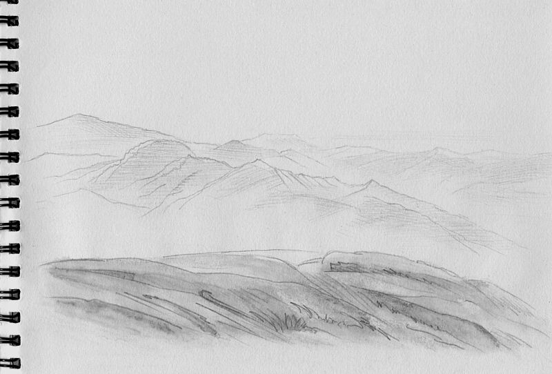
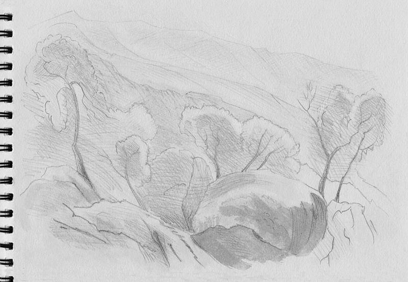
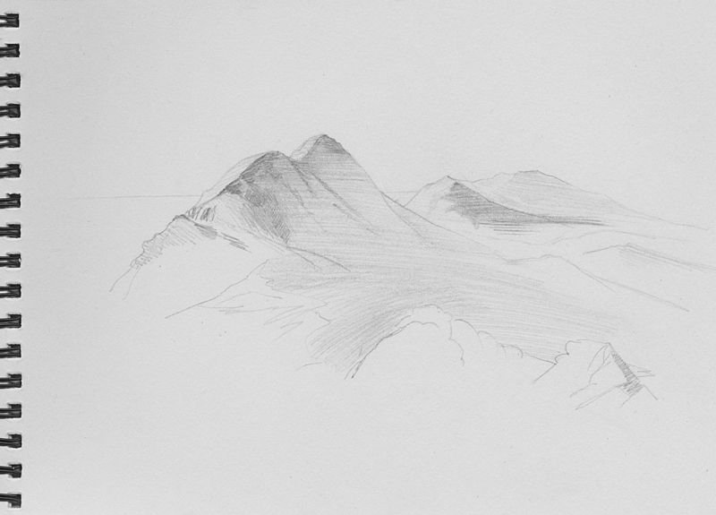
Some of the views were good to photograph especially at the times when the light and atmospherics were nice. I took several hundred photographs and did a couple of dozen drawings. Here are a few of my favourites. The main purpose wasn't only walking it was to find interesting views that others may not have seen and to draw and then to hopefully to paint.
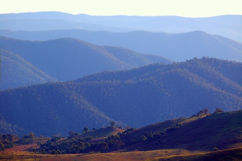
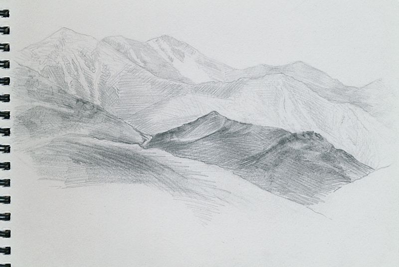
The Tidbinbilla Range has heaps of potential for unexpected views especially when seen from the North and from the edge of the Yass Plains.
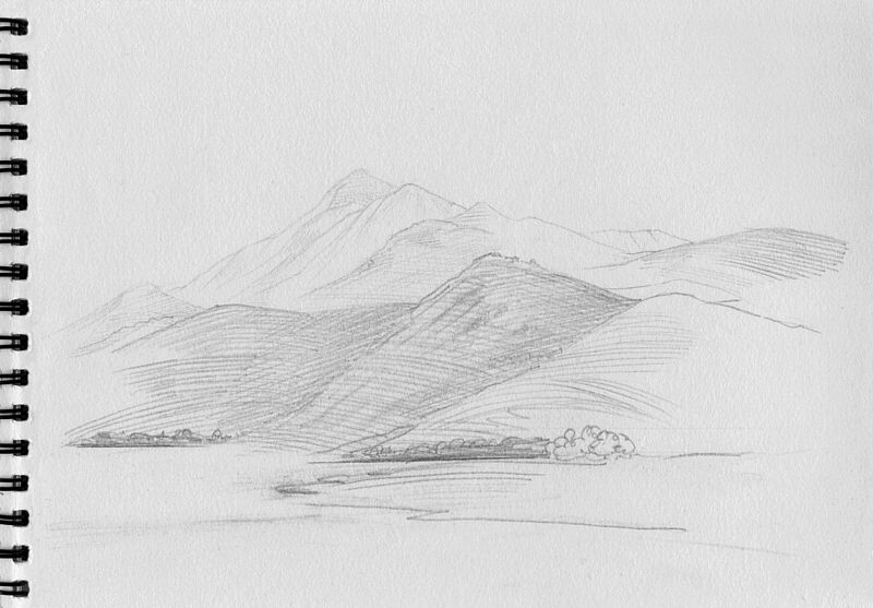
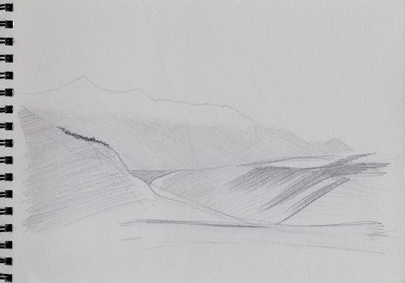
This final drawing is of Condor Hill on the NW edge of Namadgi National Park, from about a kilometre downstream of Vanity's crossing on the Cotter River. With fishing no longer allowed here, I thought that I'd like an image ... I'm guessing that with the raising of the Cotter Dam wall this area will eventually be flooded, once the reservoir fills to near capacity, sadly.
Warren.