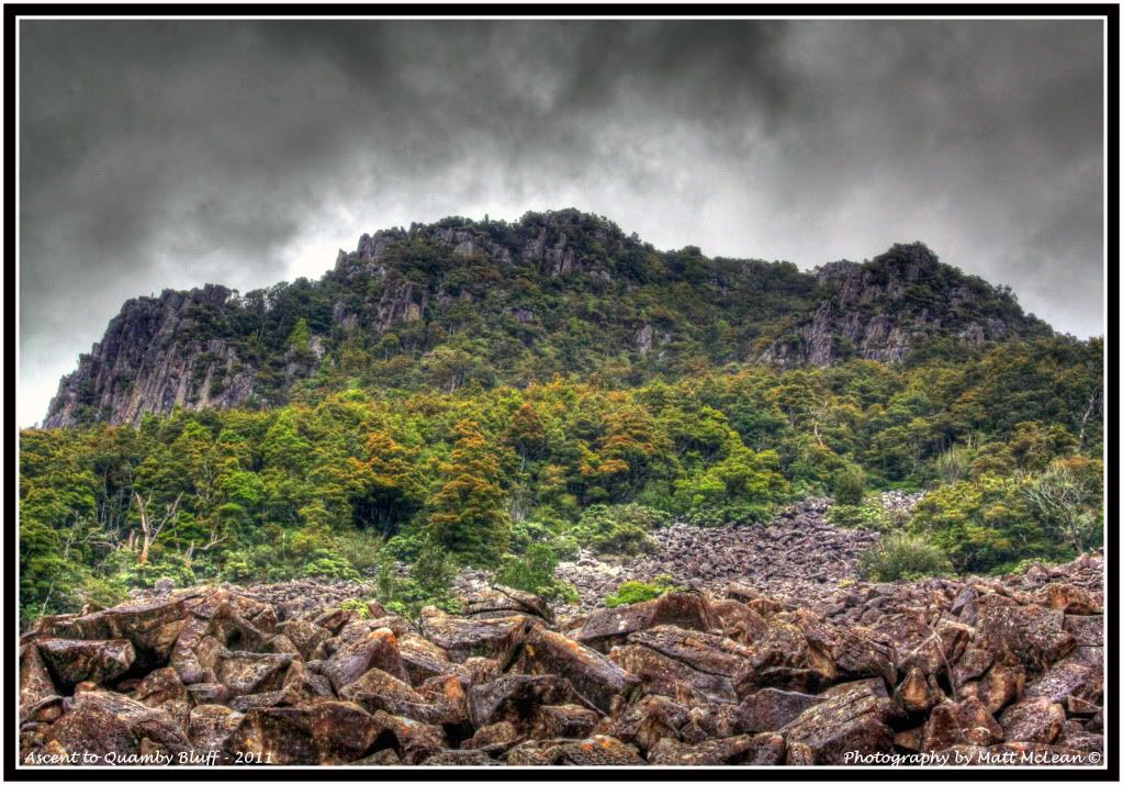
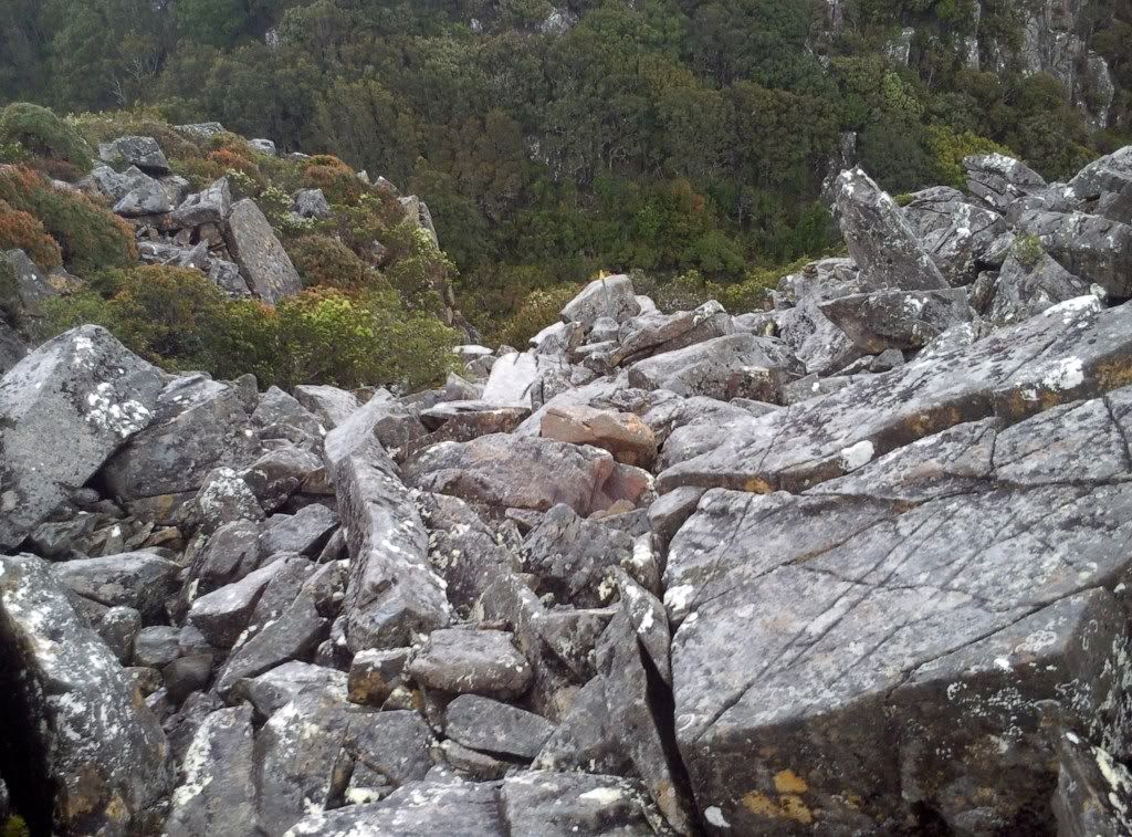
We arrived at the start of the Quambys track around 1pm, weather rather warm and forecast set for fine. We headed off into the bushland, the first part of the track rather wet and boggy in amongst the tea tree before entering into mossy bushland. The track having a steady incline untill reaching the first rock scree. Once arriving @ the scree we made sure we could see the track markers and headed off up over the scree until back into mossy bushland. The track here then became rather steep and remained steep until we reached the summit of Quambys. The last approx 200 hundred metres of the track being scree.
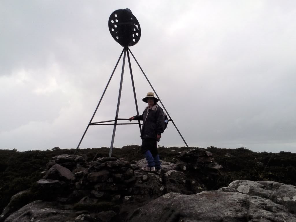
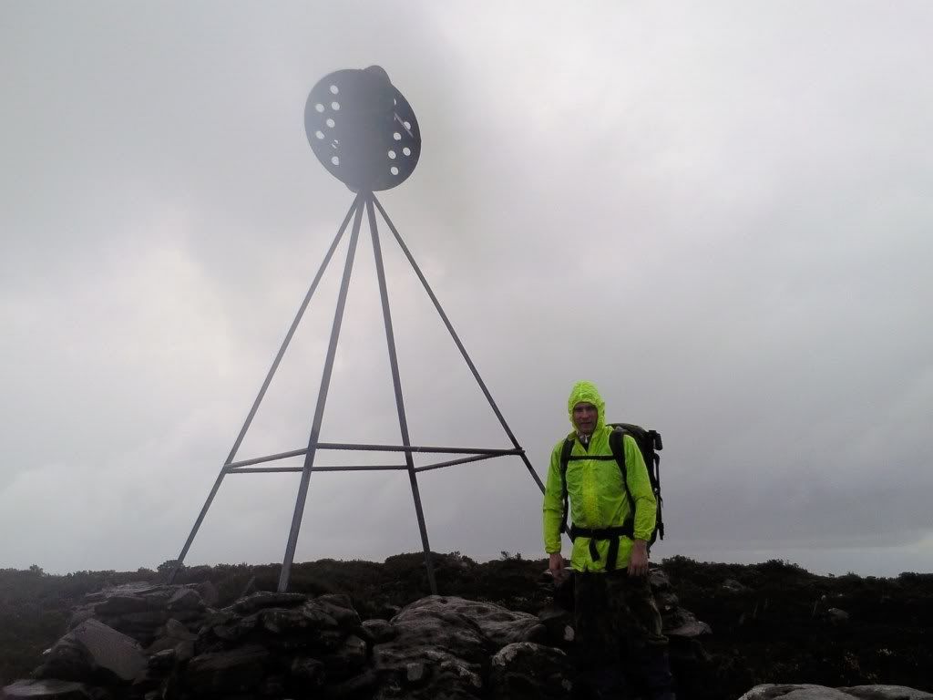
Upon reaching the plateau of Quambys the heavens opened up and the fog rolled in, the view of the meander area becoming very hard to see, which was unfortunate as the plan was to do some panorama photography of the surrounding areas. Due to the rain the camera stayed in the bag whilst on the summit. We remained on the summit for around half an hour for a quick bite to eat, donned the wet weather gear and started our decent back down to the car. We found the track leading off the summit a little hard to follow in the fog, once we got back onto the scree it was smooth sailing for the return trip.
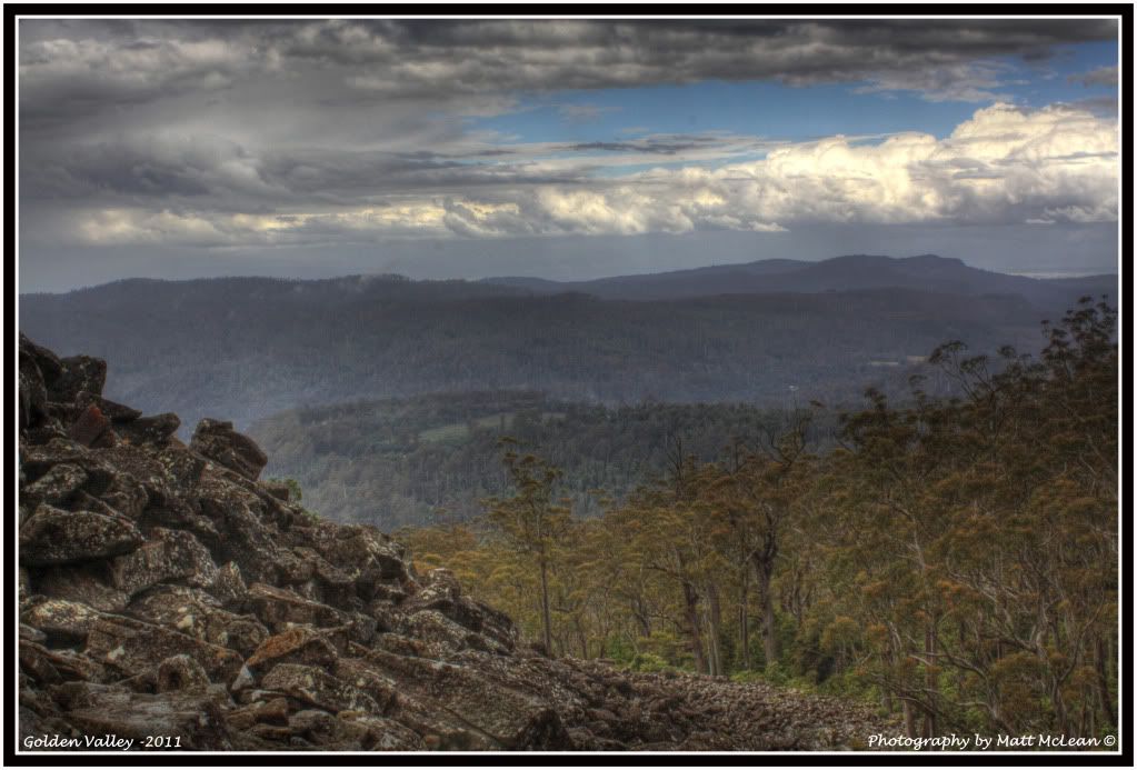
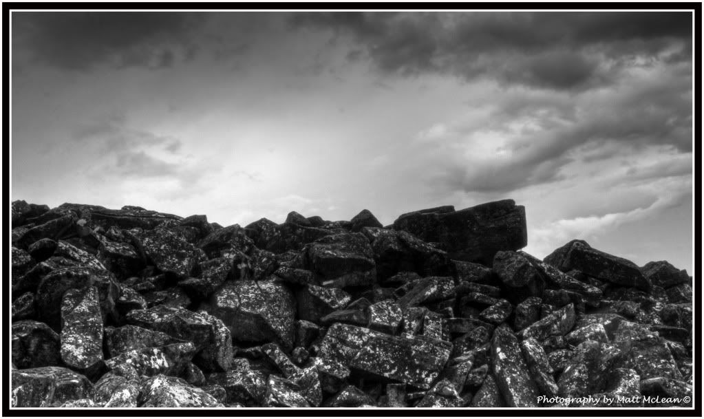
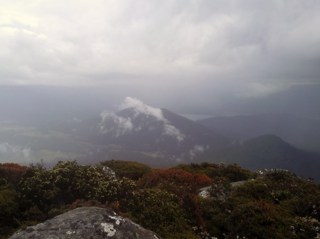
As we made our way back down through the winding and now slippery trail, the rain eventually subsided allowing us to stop at the final scree crossing for a few snaps of the area. Following this we made our way back to the car to dry off and head back to Launceston.
We found the Quambys track to be great walk, rather steep in sections but very rewarding once at the summit! Please excuse the quality of some of the pictures as they were taken off my mobile phone, I’m a little precious when it comes to rain and my DSLR